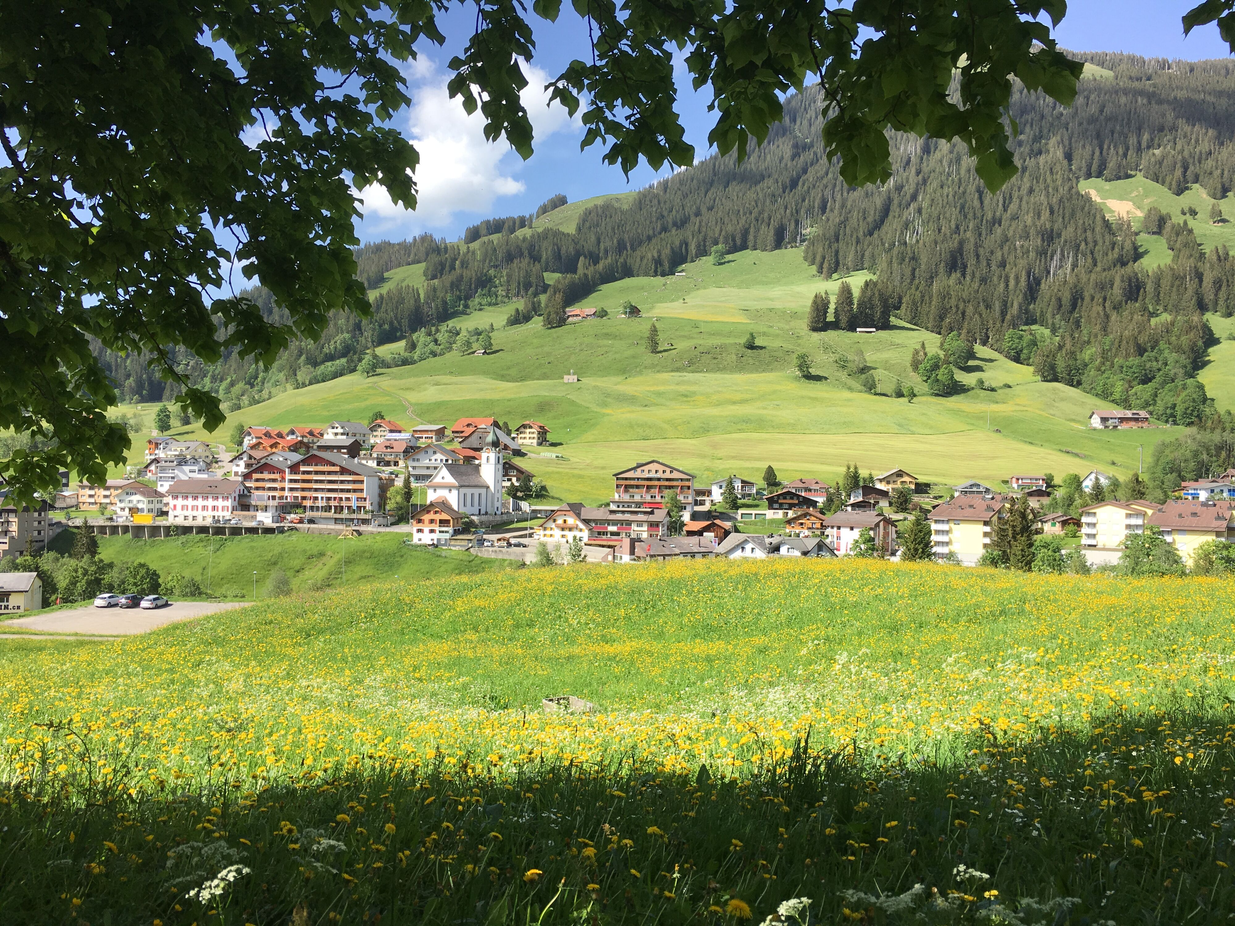
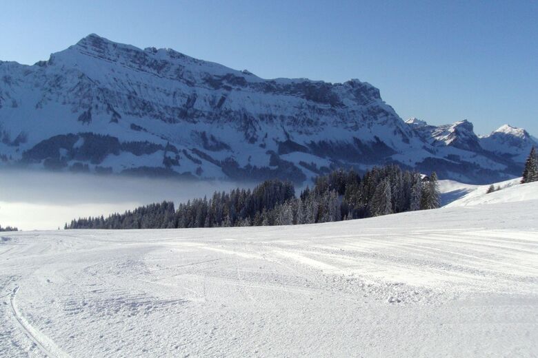
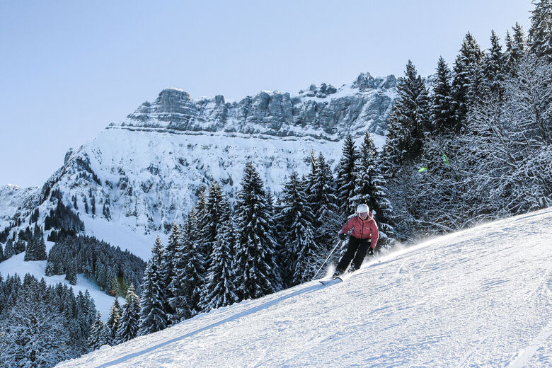
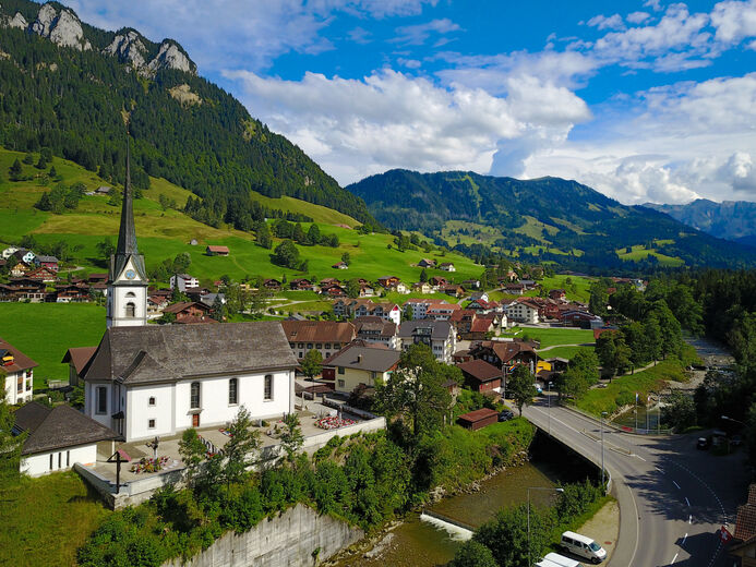
The places Sörenberg and Flühli mark the natural and tourist highlights of the UNESCO Biosphere Entlebuch. The area contains protected core zones with unique moorland and diverse flora and fauna. Nevertheless, humans do not have to do without anything - on the contrary! The communities form a residential and holiday region of the first order. In Sörenberg worth a visit to the Brienzer Rothorn, the...
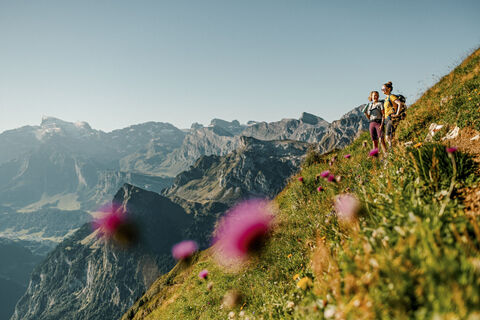
The places Sörenberg and Flühli mark the natural and tourist highlights of the UNESCO Biosphere Entlebuch. The area contains protected core zones with unique moorland and diverse flora and fauna. Nevertheless, humans do not have to do without anything - on the contrary! The communities form a residential and holiday region of the first order. In Sörenberg worth a visit to the Brienzer Rothorn, the highest Lucerne summit. Enjoy a wonderful view of the Bernese Alps and Lake Brienz. With a little luck, you'll meet a pack of ibex. Please note that the Brienzer Rothorn is closed for renovation in summer 2023. For the daring, the place offers a rapid ride on the bike board from the Rossweid into the valley. For romantics, the wild west of Lucerne offers horse trekking. Rest assured, Sörenberg offers something for everyone. Stunning views, colorful moorland landscapes¸ fantastic karst formations, Varied walks for every condition, a beautiful Kneipp facility and a beautiful waterfall that has formed a unique stone formation.
Contactați-ne

Contactați-ne
Sfaturi pentru petrecerea timpului liber
-

Mooraculum
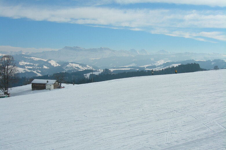
Sörenberg
-
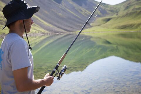
Bergseefischen
Sörenberg
-
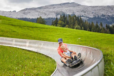
Sommerrodelbahn Rischli
Sörenberg
-
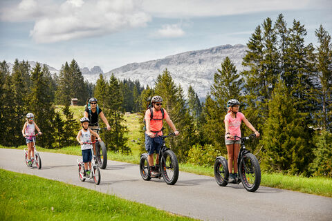
Trotti-Erlebnis in Sörenberg
Sörenberg
-
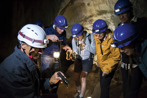
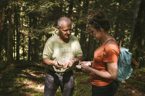
Exkursion Karst & Höhlen in der Schrattenfluh
Sörenberg
-
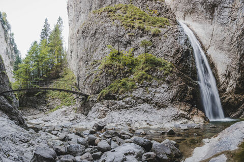
Wasserfall & Hängebrücke Chessiloch
Sörenberg
-
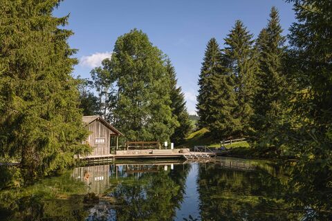
Kneippanlage Schwandalpweiher Flühli
Sörenberg
-
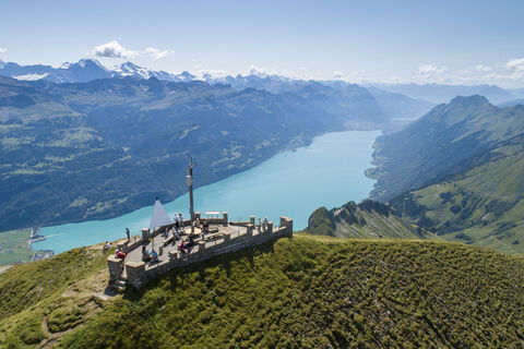
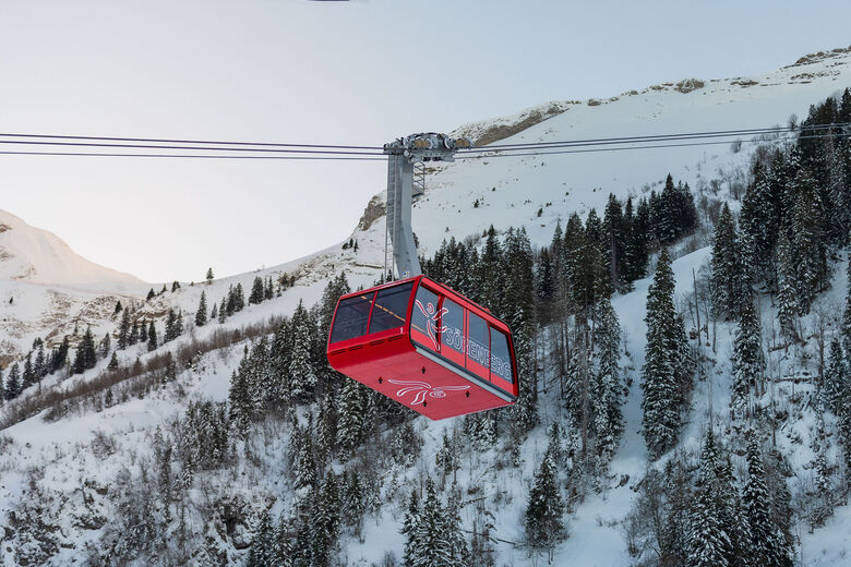
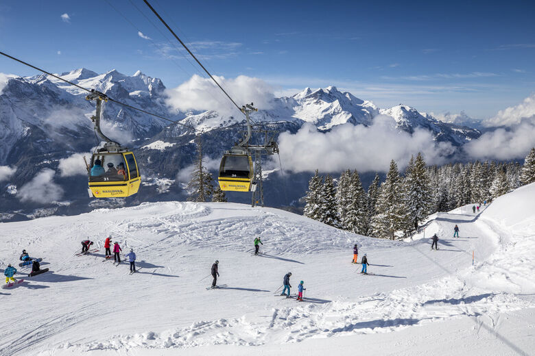
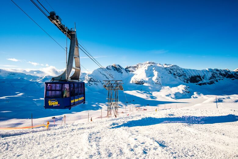
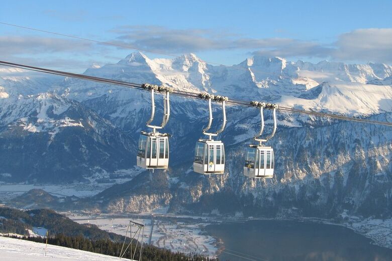
Brienzer Rothorn
Sörenberg
-
Unterwegs mit Experten
UNESCO Biosphäre Entlebuch
-
Tell-Trail: In acht Etappen von Altdorf bis aufs Brienzer Rothorn
Luzern und Umgebung
Stațiunile de schi din apropiere
-
Sörenberg
Luzern - Vierwaldstättersee
-
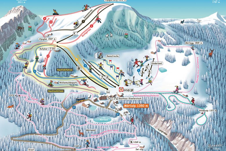
Mörlialp
Luzern - Vierwaldstättersee
-
Marchbachegg
Luzern - Vierwaldstättersee
-
Bumbach
Bern & Region Bern
-
Axalp
Berner Oberland
-
Habkern
Berner Oberland
-
Meiringen
Berner Oberland
-
Melchsee
Luzern - Vierwaldstättersee
-
Eggiwil
Berner Oberland
-
Beatenberg
Berner Oberland


Drumeții și urmărire


Nu ratați ofertele și inspirația pentru următoarea dvs. vacanță
Adresa dvs. de e-mail a fost adăugat la lista de corespondență.