


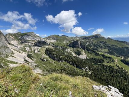
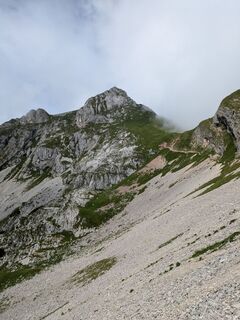
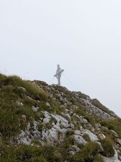
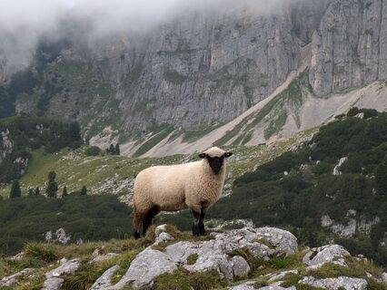
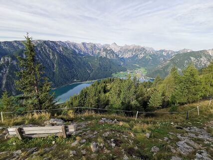
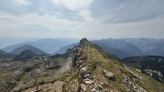
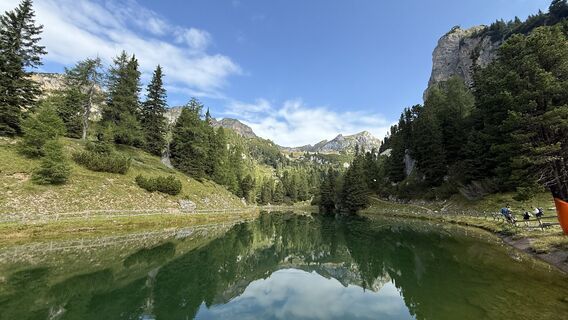
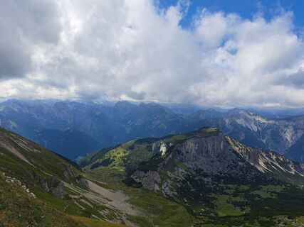
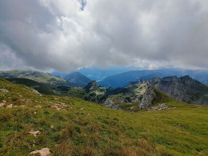
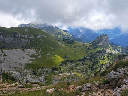
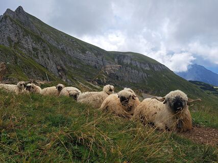
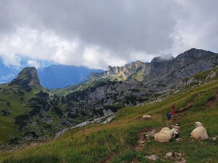
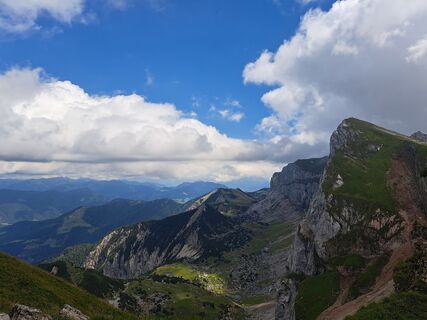
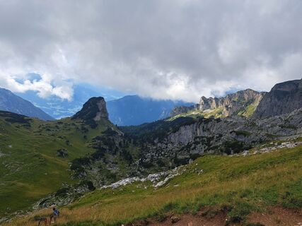
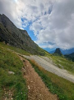
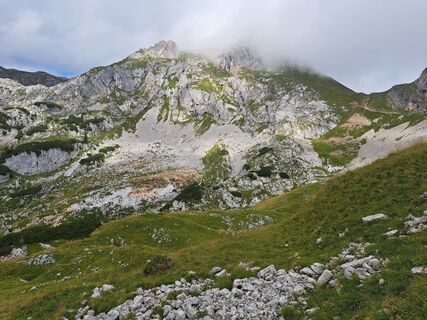
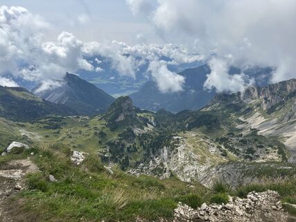
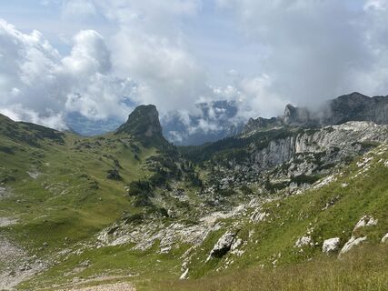
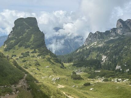
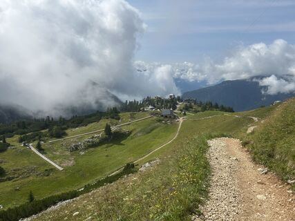
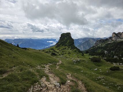
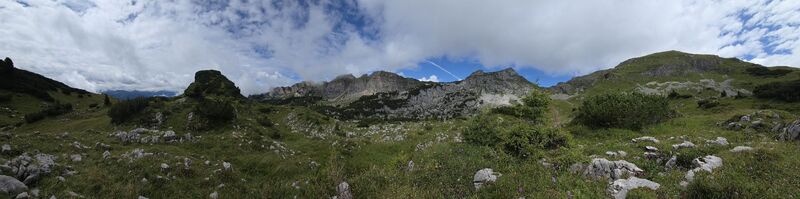
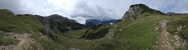
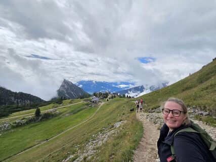
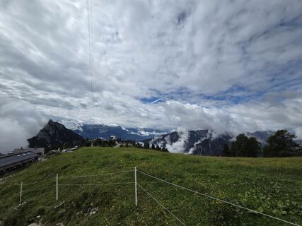
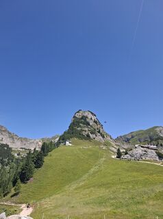
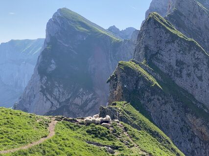
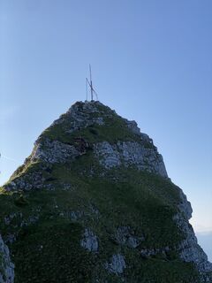
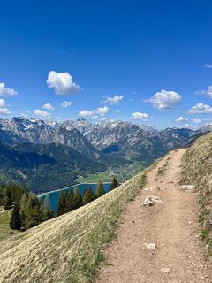
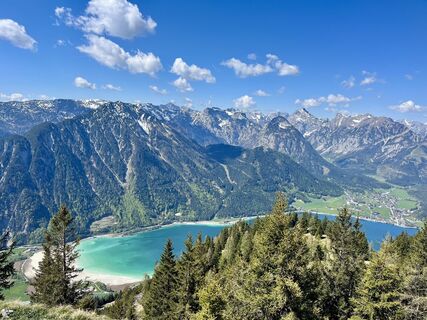
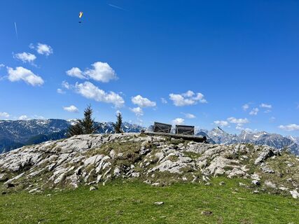
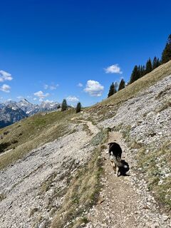
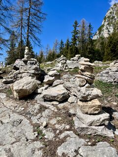
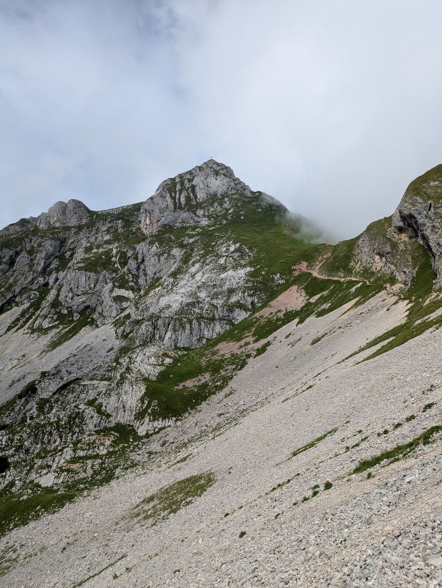
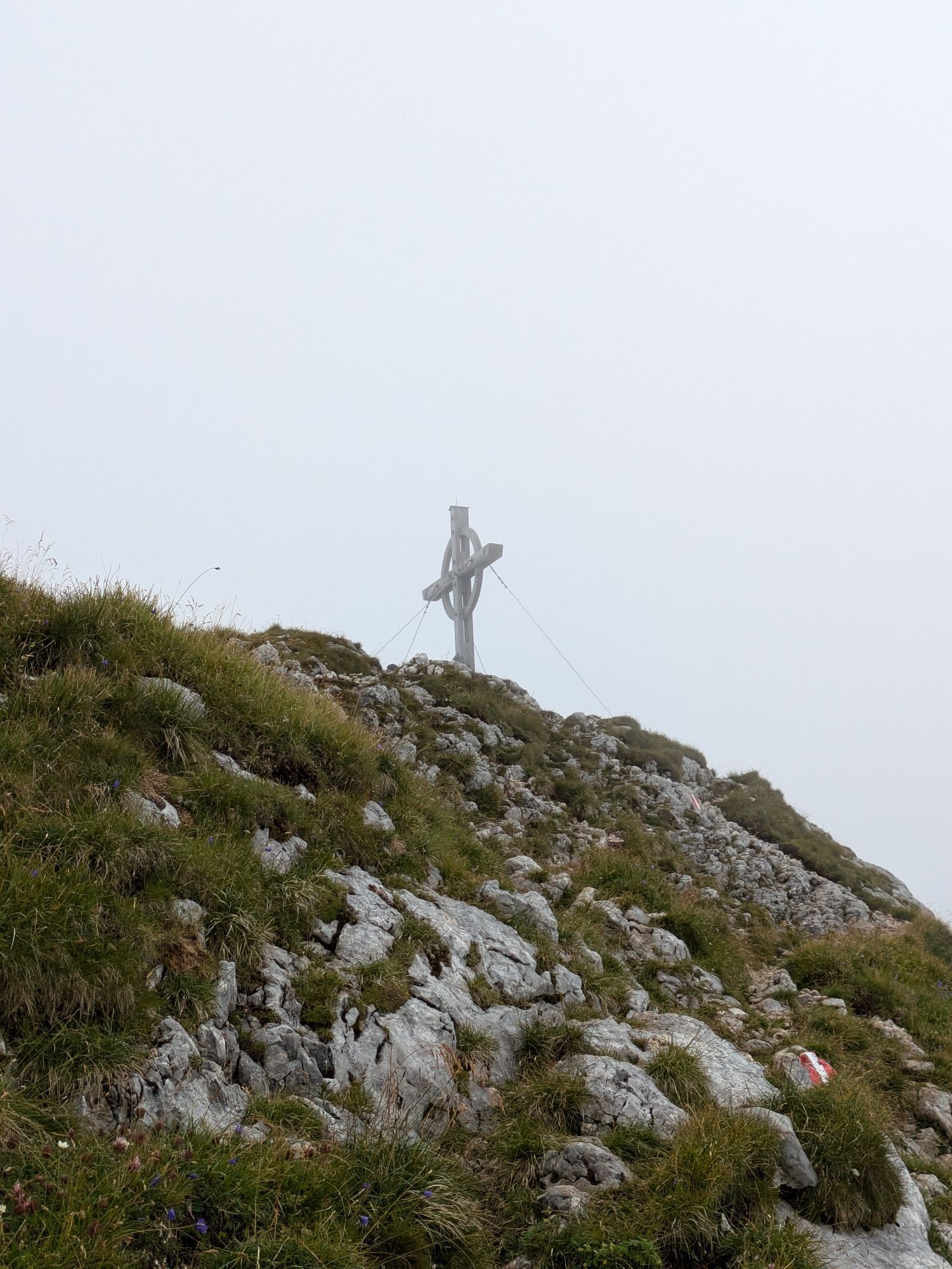
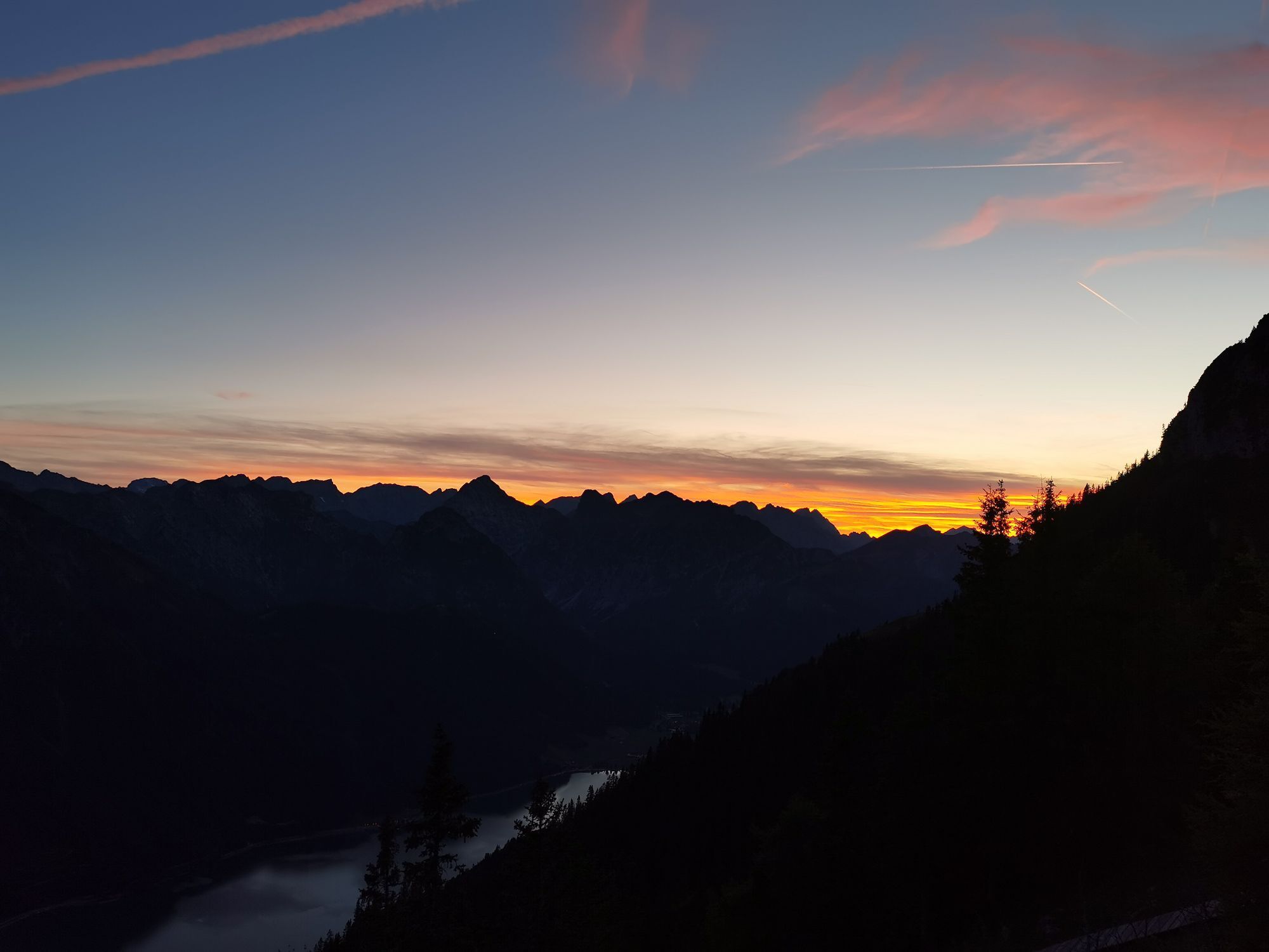
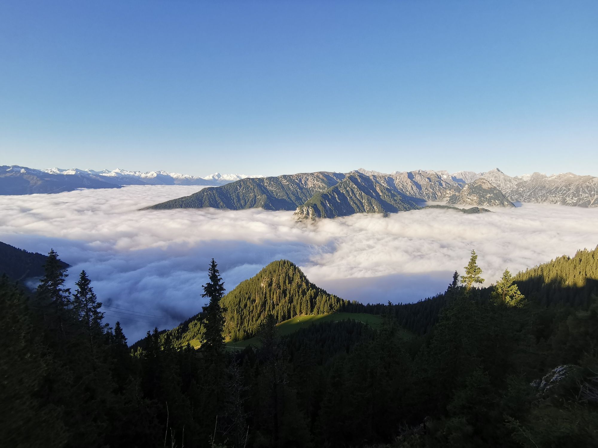
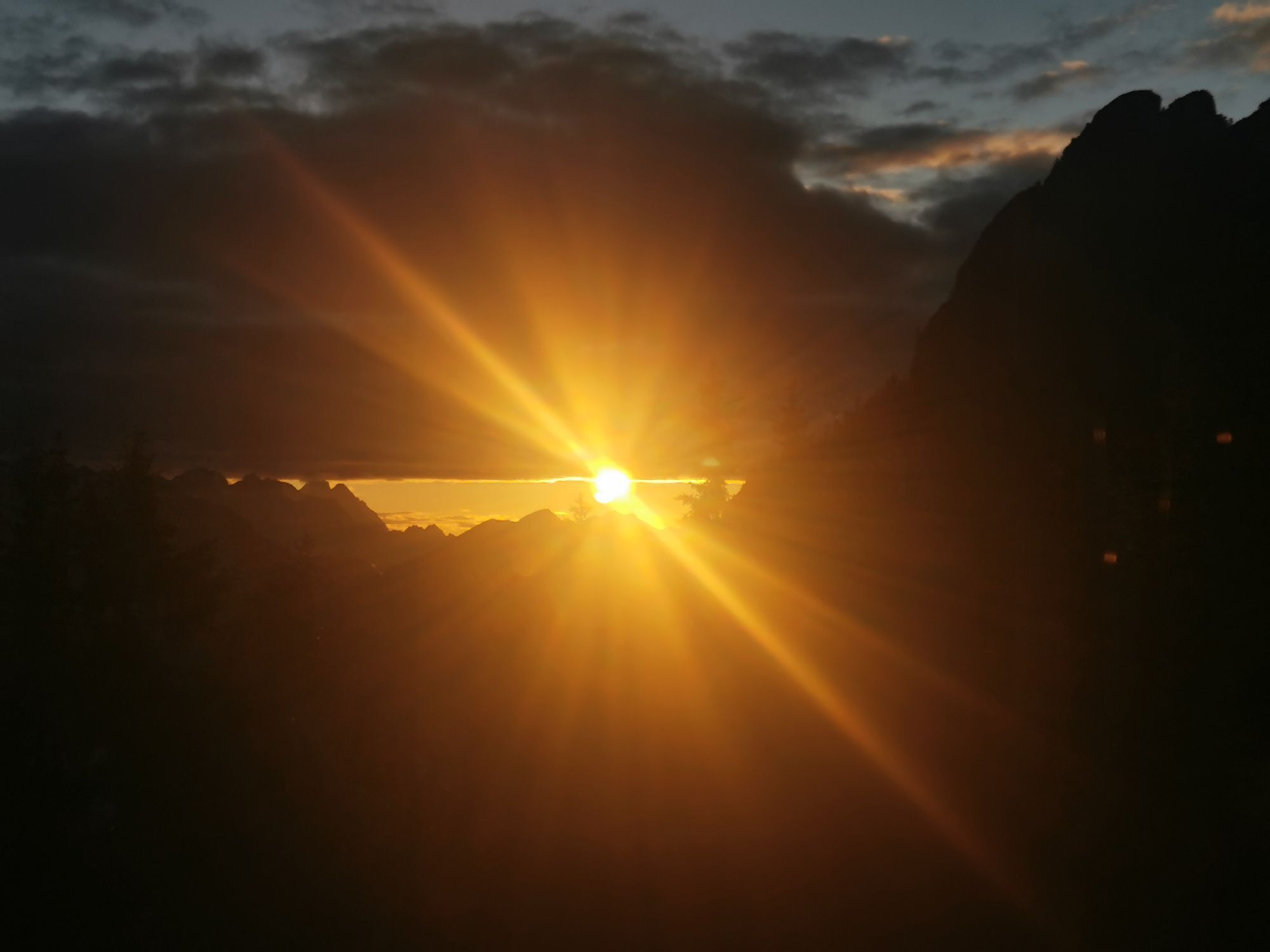
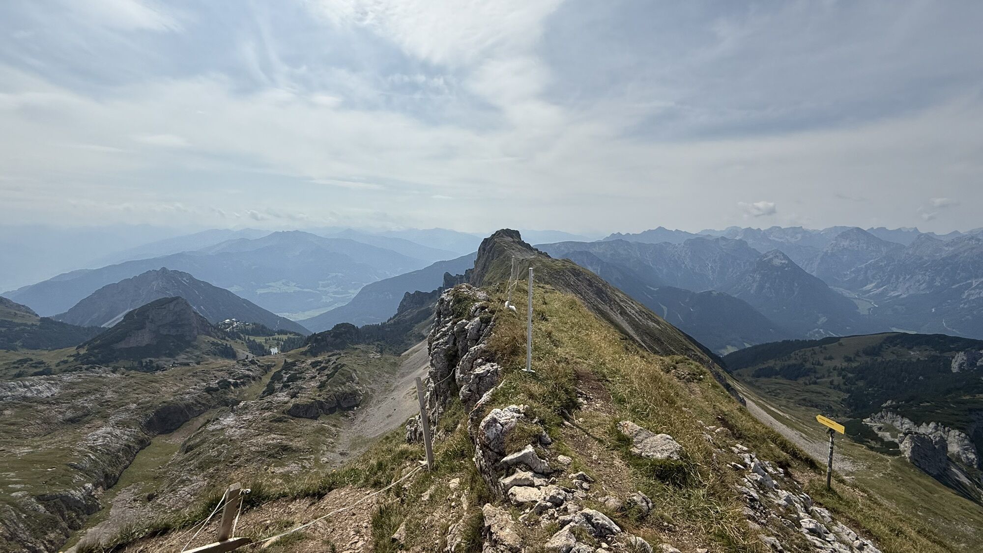
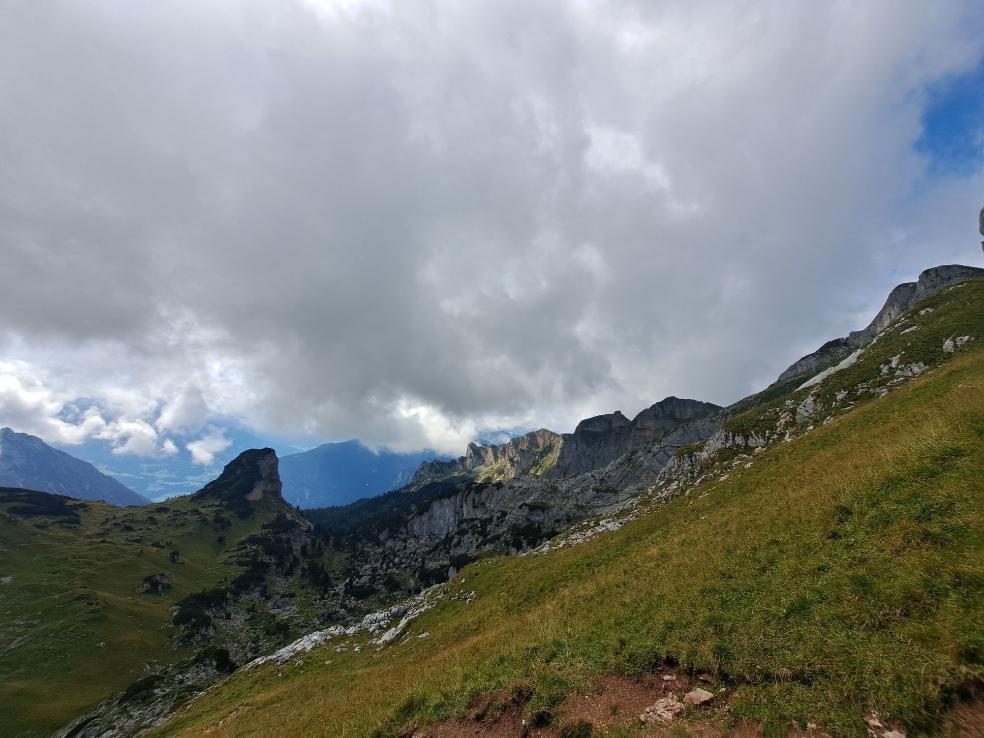
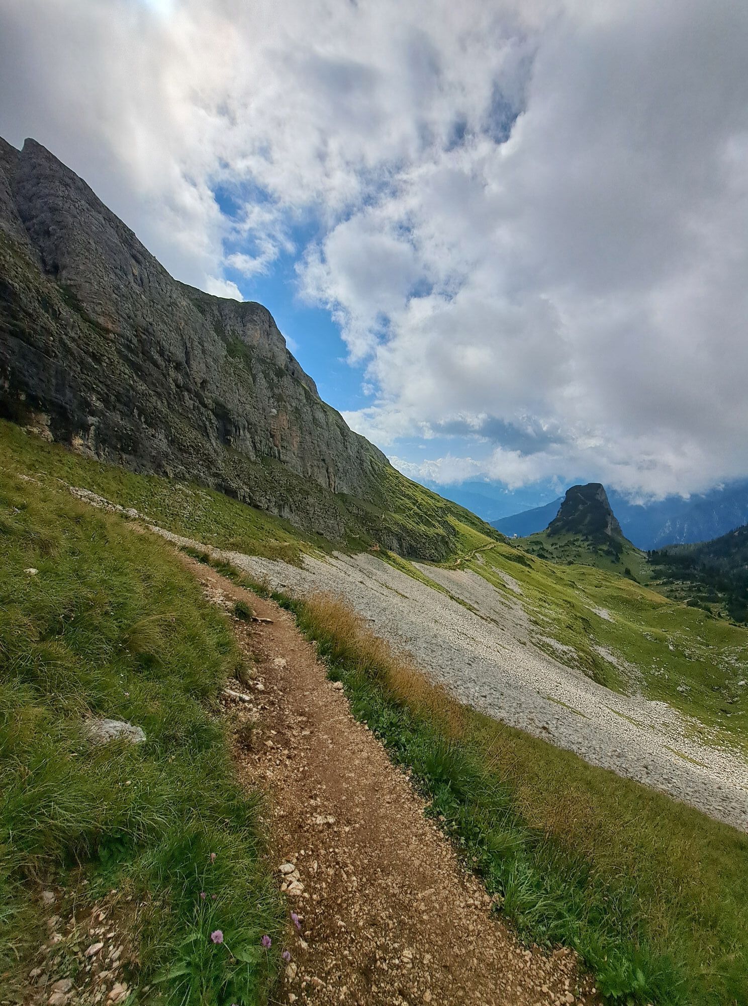
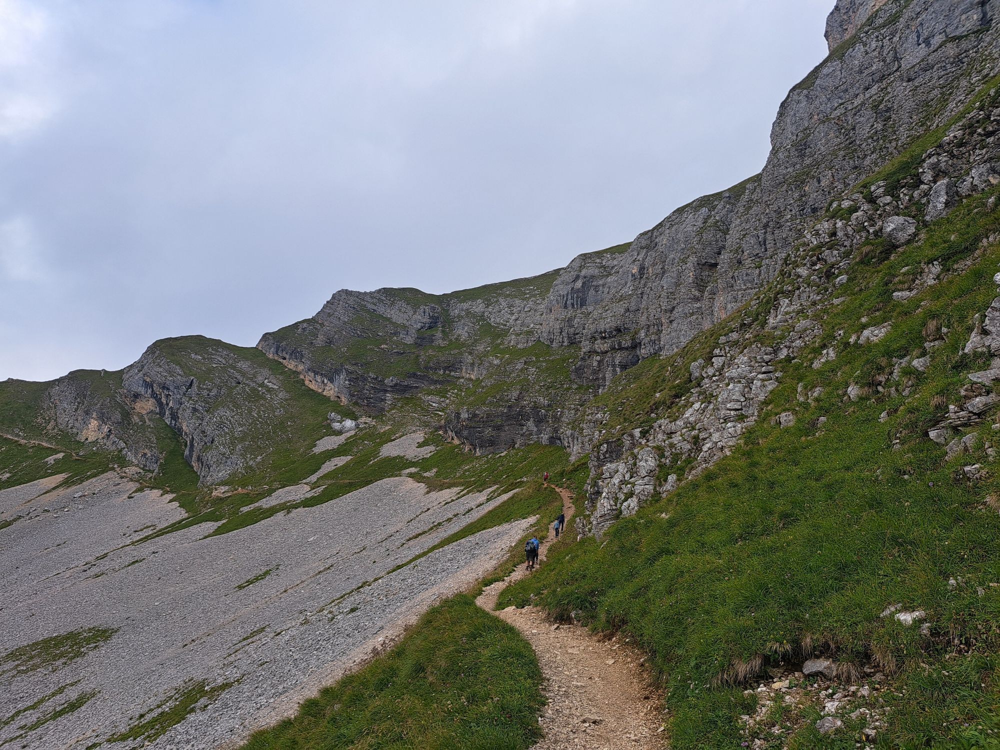
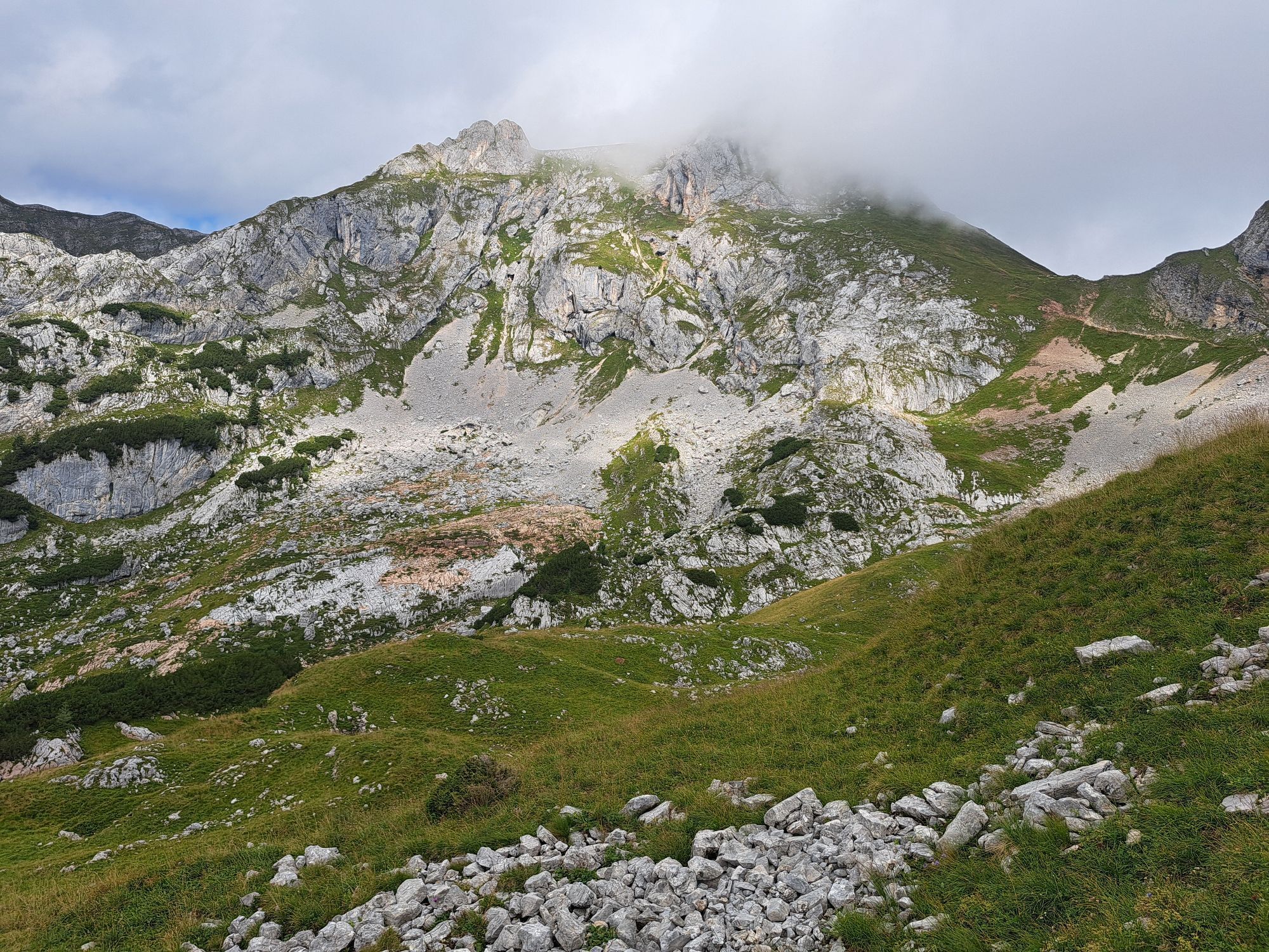
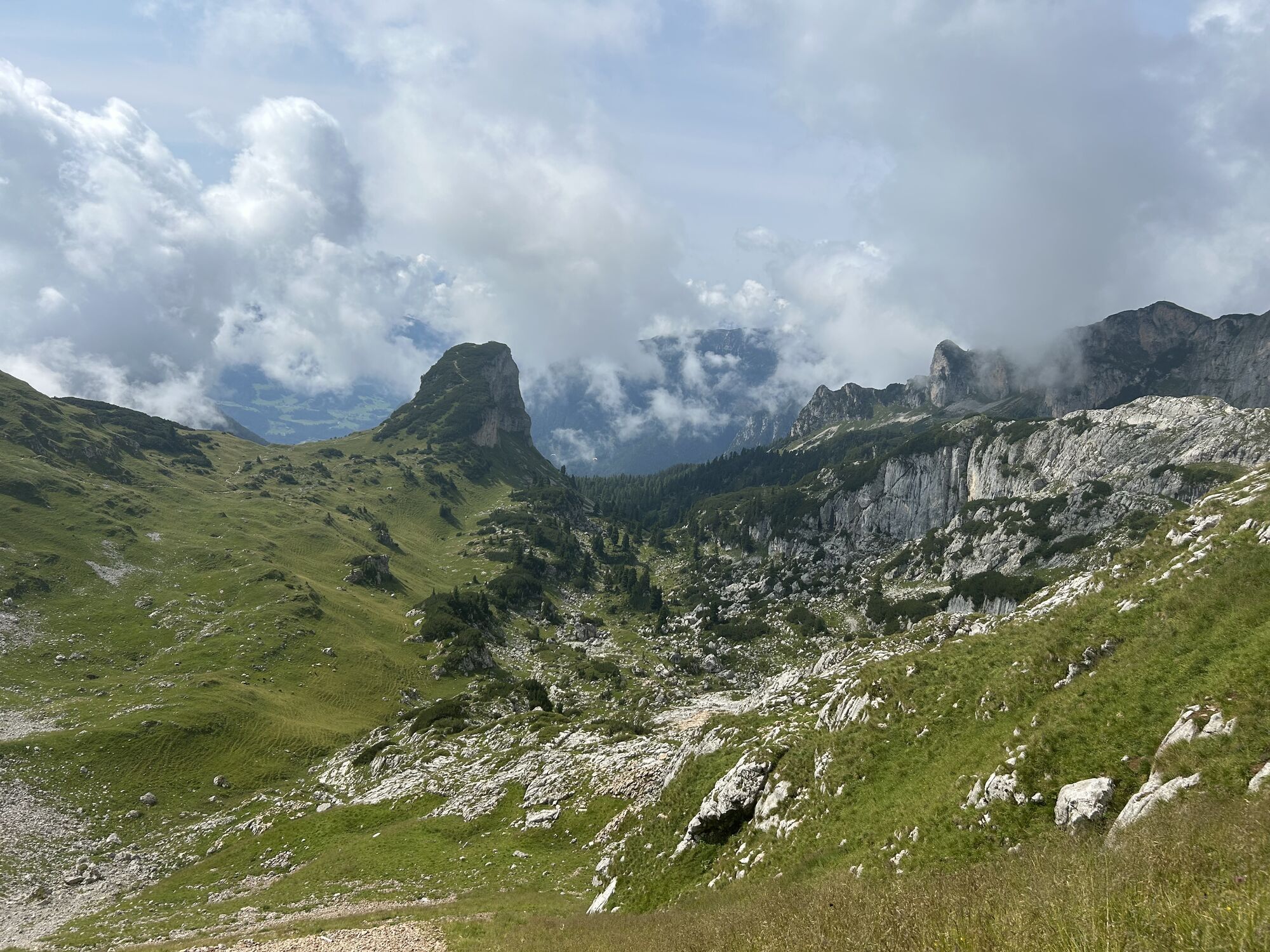
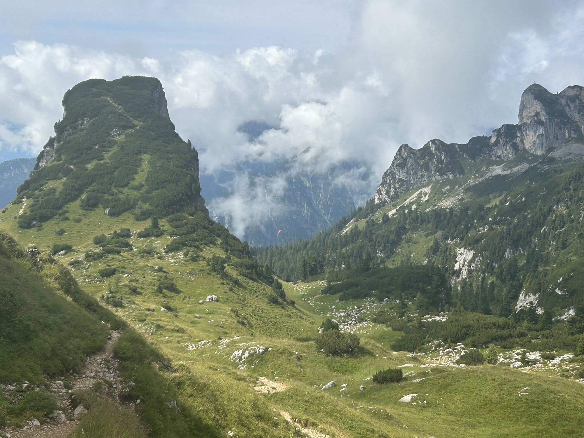
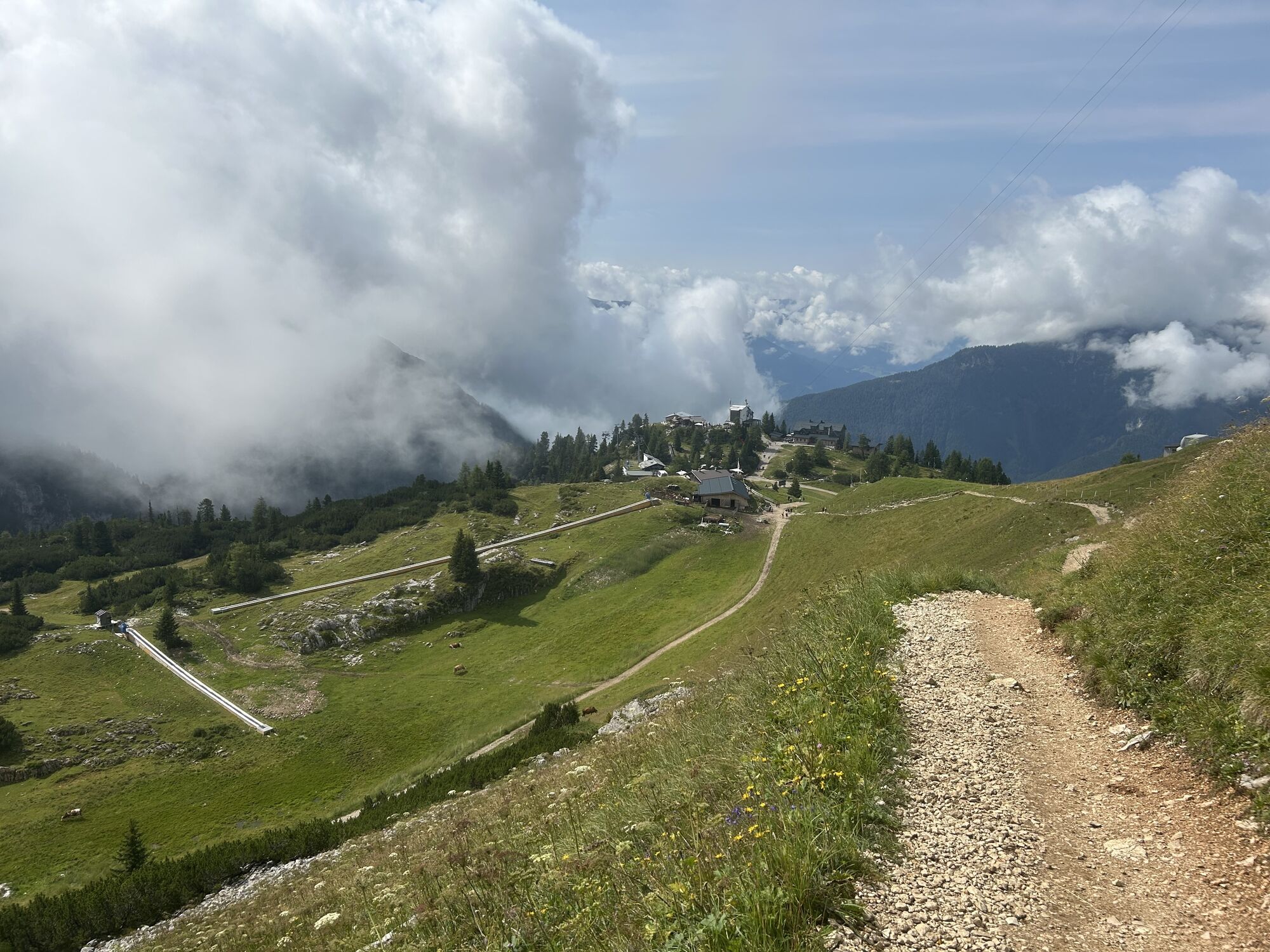
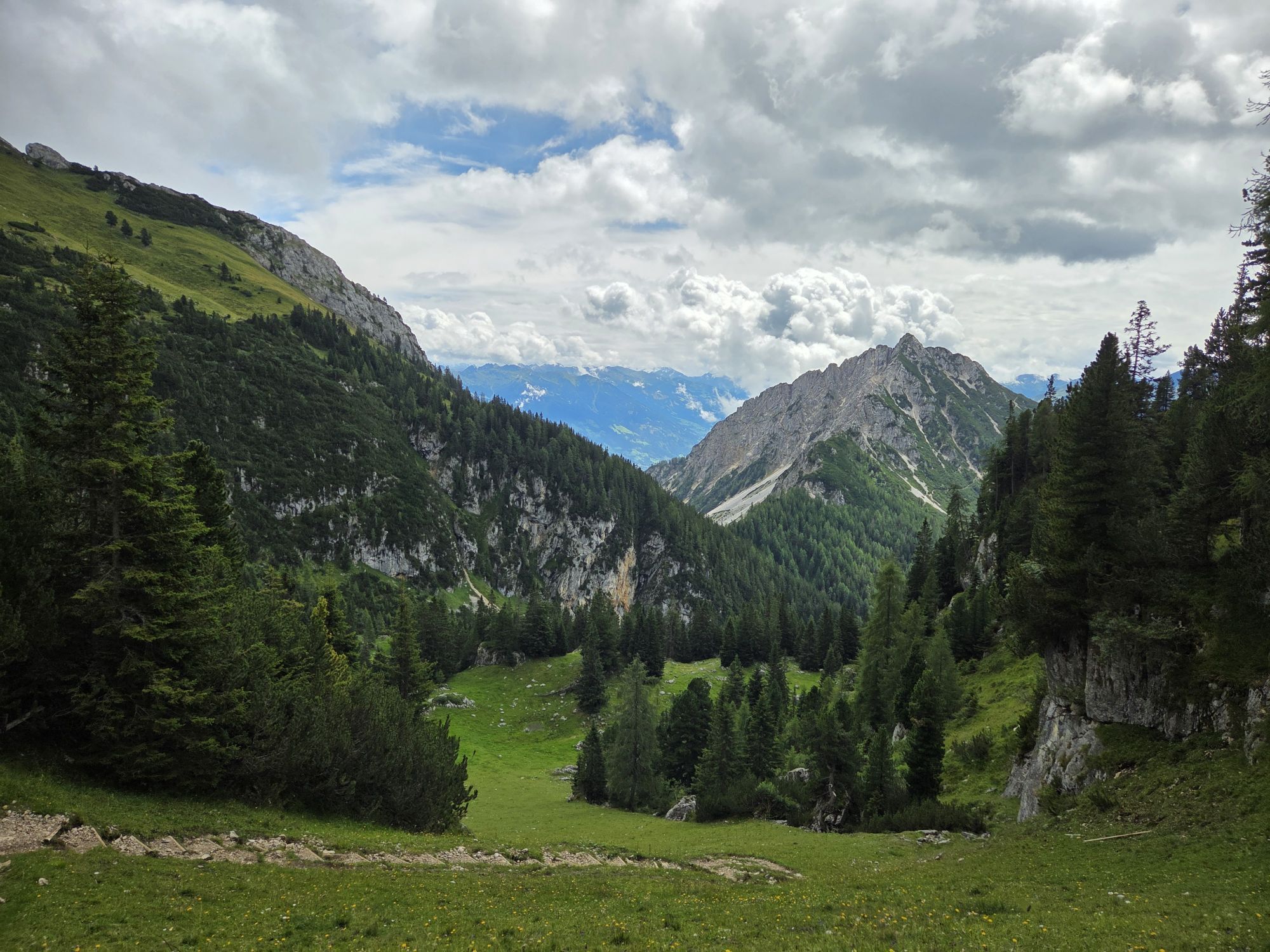
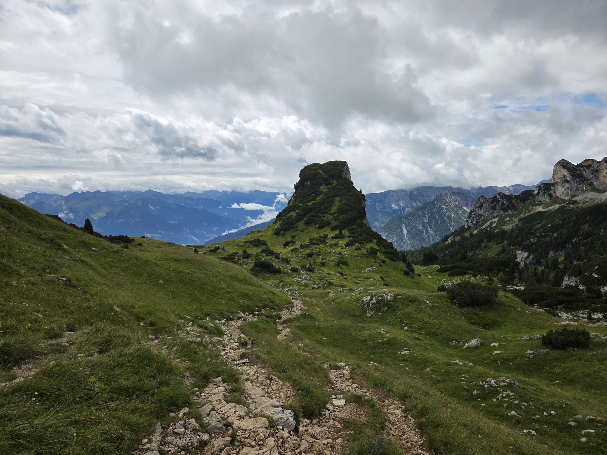
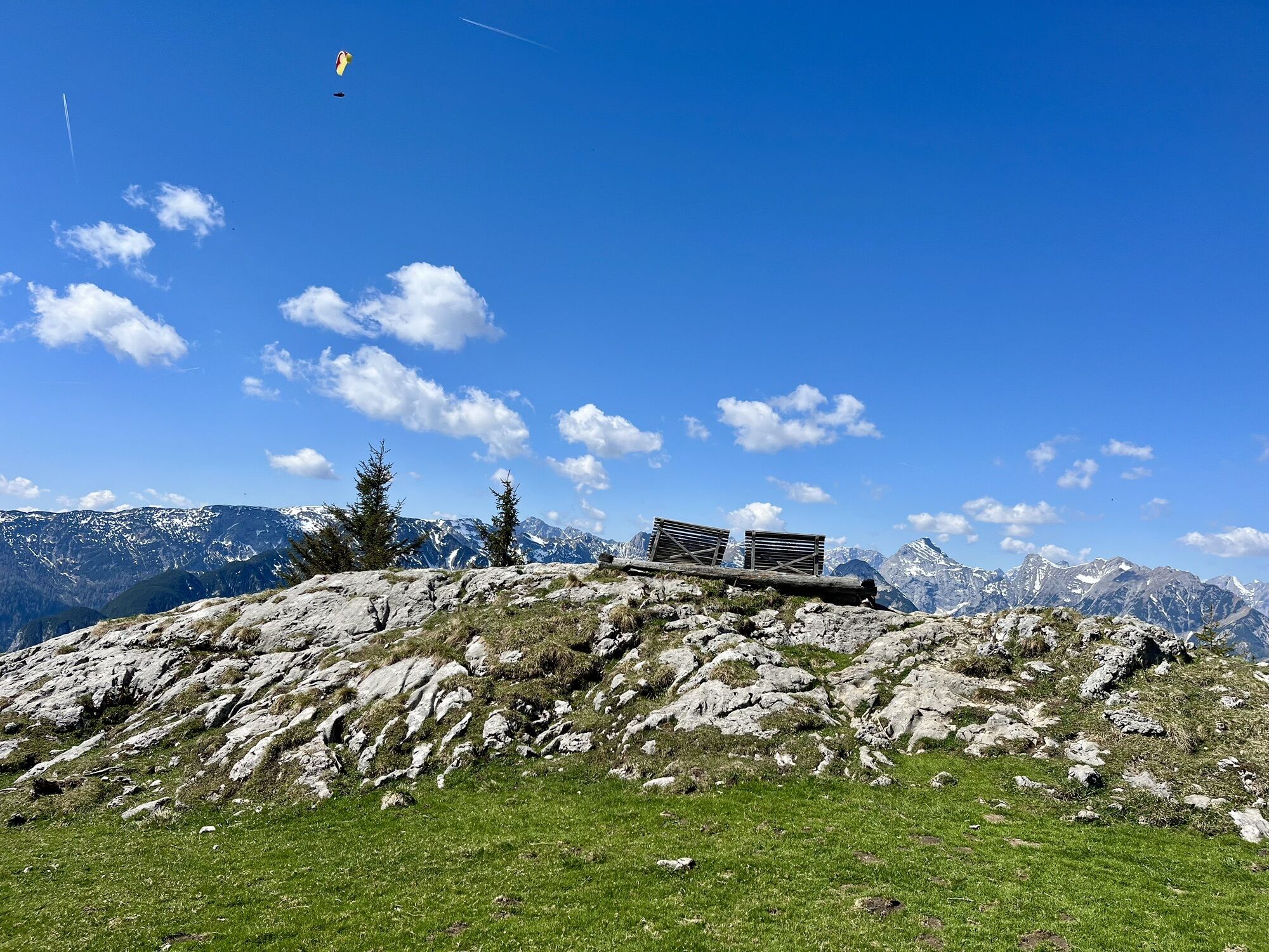
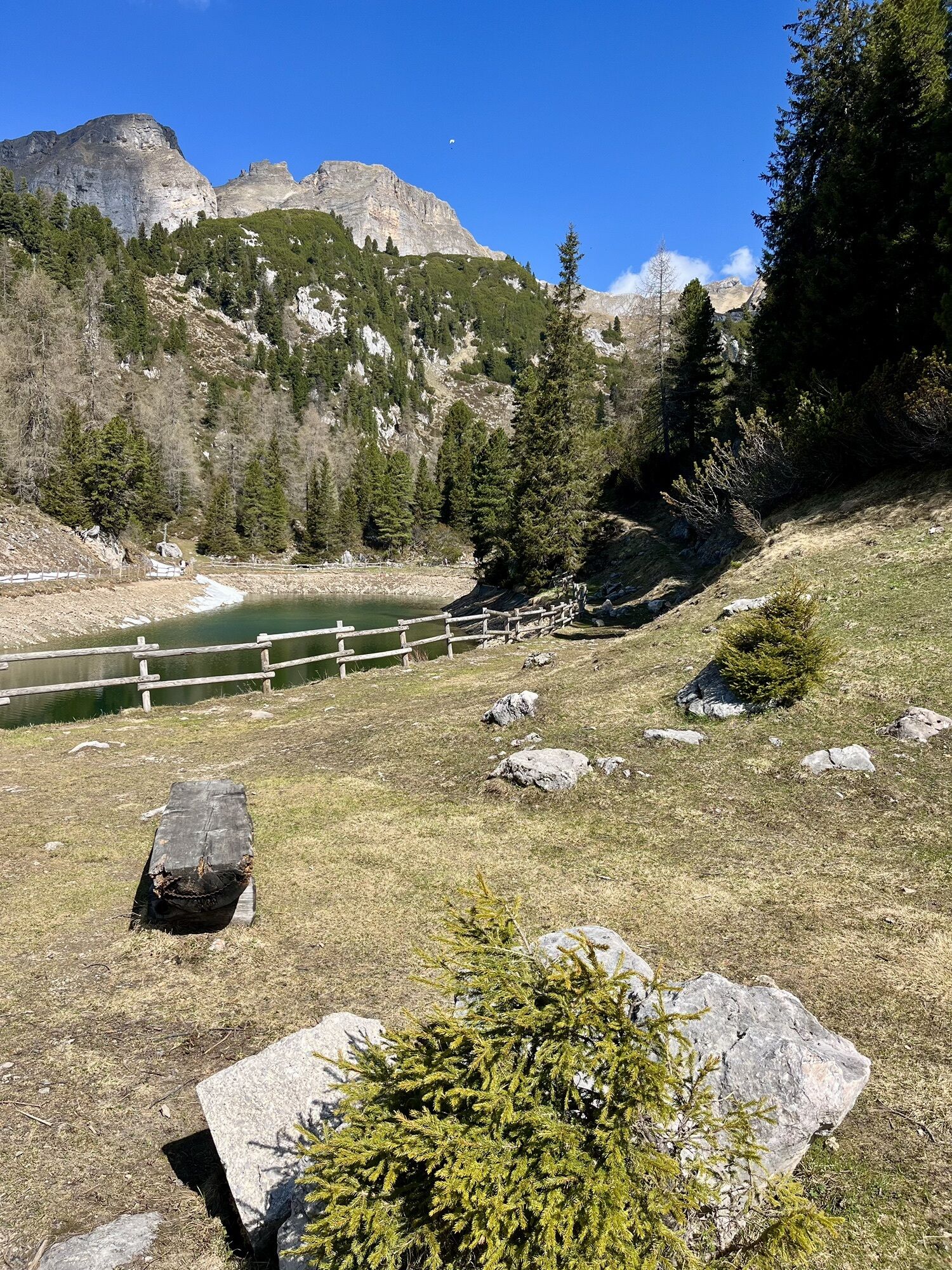
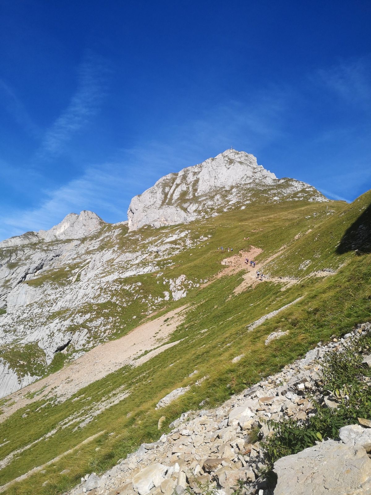
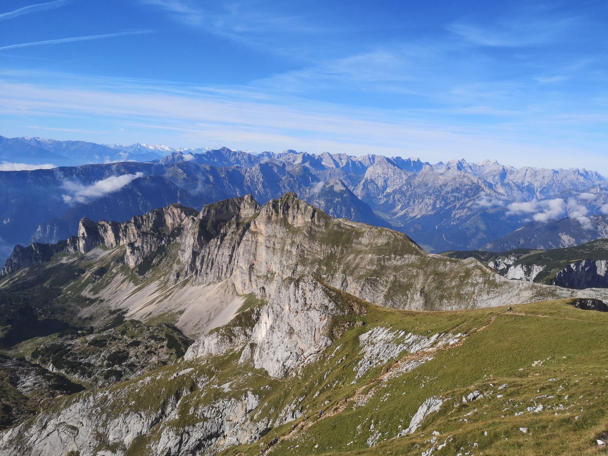
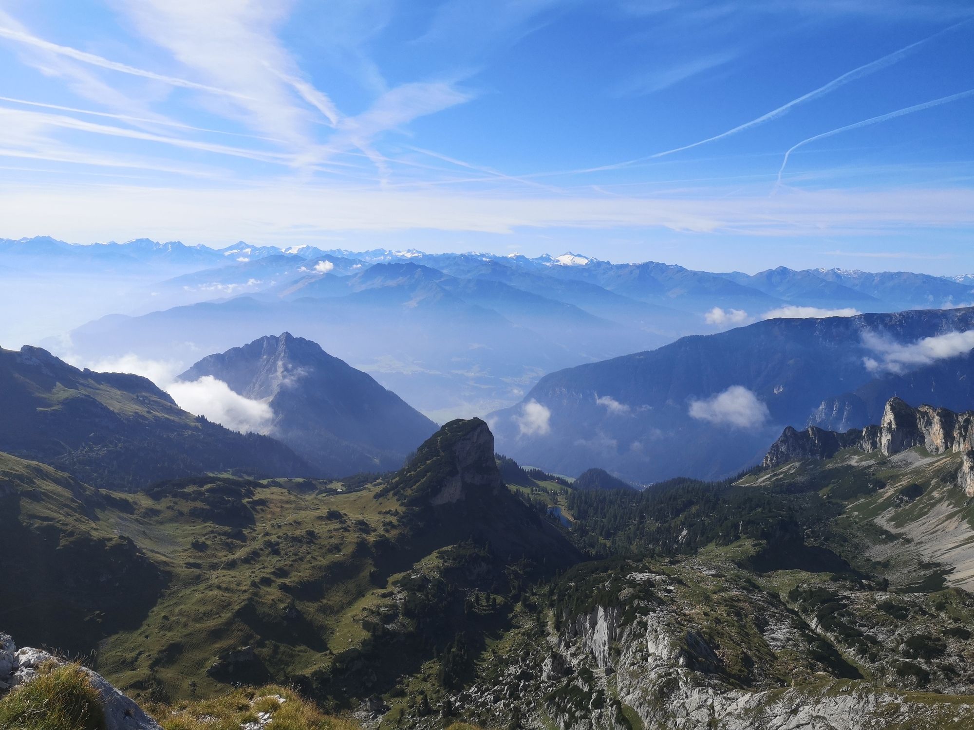
Hochiss and Dalfazer Kamm


Fotografii ale utilizatorilor noștri
-
 © Manfred LuchnerCreat pe 10.08.2024
 -
 © Ingrid WeinbergerCreat pe 05.08.2024
 -
 © Ingrid WeinbergerCreat pe 05.08.2024
 -
 © Ingrid WeinbergerCreat pe 05.08.2024
 -
 © Mario KunzeCreat pe 07.09.2025
 -
 © Mario KunzeCreat pe 06.09.2025
 -
 © Mario KunzeCreat pe 06.09.2025
 -
 © Mario KunzeCreat pe 05.09.2025
 -
 © Slavko BevandaCreat pe 27.08.2025
 -
 © Slavko BevandaCreat pe 27.08.2025
 -
 © Ljubow ObidinaCreat pe 24.08.2025
 -
 © Ljubow ObidinaCreat pe 24.08.2025
 -
 © Ljubow ObidinaCreat pe 24.08.2025
 -
 © Ljubow ObidinaCreat pe 24.08.2025
 -
 © Ljubow ObidinaCreat pe 24.08.2025
 -
 © Ljubow ObidinaCreat pe 24.08.2025
 -
 © Ljubow ObidinaCreat pe 24.08.2025
 -
 © Ljubow ObidinaCreat pe 24.08.2025
 -
 © Ljubow ObidinaCreat pe 24.08.2025
 -
 © Ljubow ObidinaCreat pe 24.08.2025
 -
 © Ljubow ObidinaCreat pe 24.08.2025
 -
 © Ljubow ObidinaCreat pe 24.08.2025
 -
 © Ljubow ObidinaCreat pe 24.08.2025
 -
 © Andreas MülletCreat pe 06.08.2025
 -
 © Andreas MülletCreat pe 06.08.2025
 -
 © Andreas MülletCreat pe 06.08.2025
 -
 © Andreas MülletCreat pe 06.08.2025
 -

 © Raimund BürgmannCreat pe 31.07.2025
 -
 © Raimund BürgmannCreat pe 31.07.2025
 -
 © Raimund BürgmannCreat pe 31.07.2025
 -
 © Raimund BürgmannCreat pe 31.07.2025
 -
 © Raimund BürgmannCreat pe 31.07.2025
 -
 © Raimund BürgmannCreat pe 31.07.2025
 -
 © Raimund BürgmannCreat pe 31.07.2025
 -
 © Raimund BürgmannCreat pe 31.07.2025
 -
 © Thorben WeitCreat pe 19.07.2025
 -
 © Robert Hofbauer 1Creat pe 22.06.2025
 -
 © Robert Hofbauer 1Creat pe 22.06.2025
 -
 © Robert Hofbauer 1Creat pe 22.06.2025
 -
 © Robert Hofbauer 1Creat pe 22.06.2025
 -
 © Veronika SchulteCreat pe 01.05.2025
 -
 © Veronika SchulteCreat pe 01.05.2025
 -
 © Veronika SchulteCreat pe 01.05.2025
 -
 © Veronika SchulteCreat pe 01.05.2025
 -
 © Veronika SchulteCreat pe 01.05.2025
 -
 © Veronika SchulteCreat pe 01.05.2025
 -
 © Veronika SchulteCreat pe 01.05.2025
 -
 © Veronika SchulteCreat pe 01.05.2025


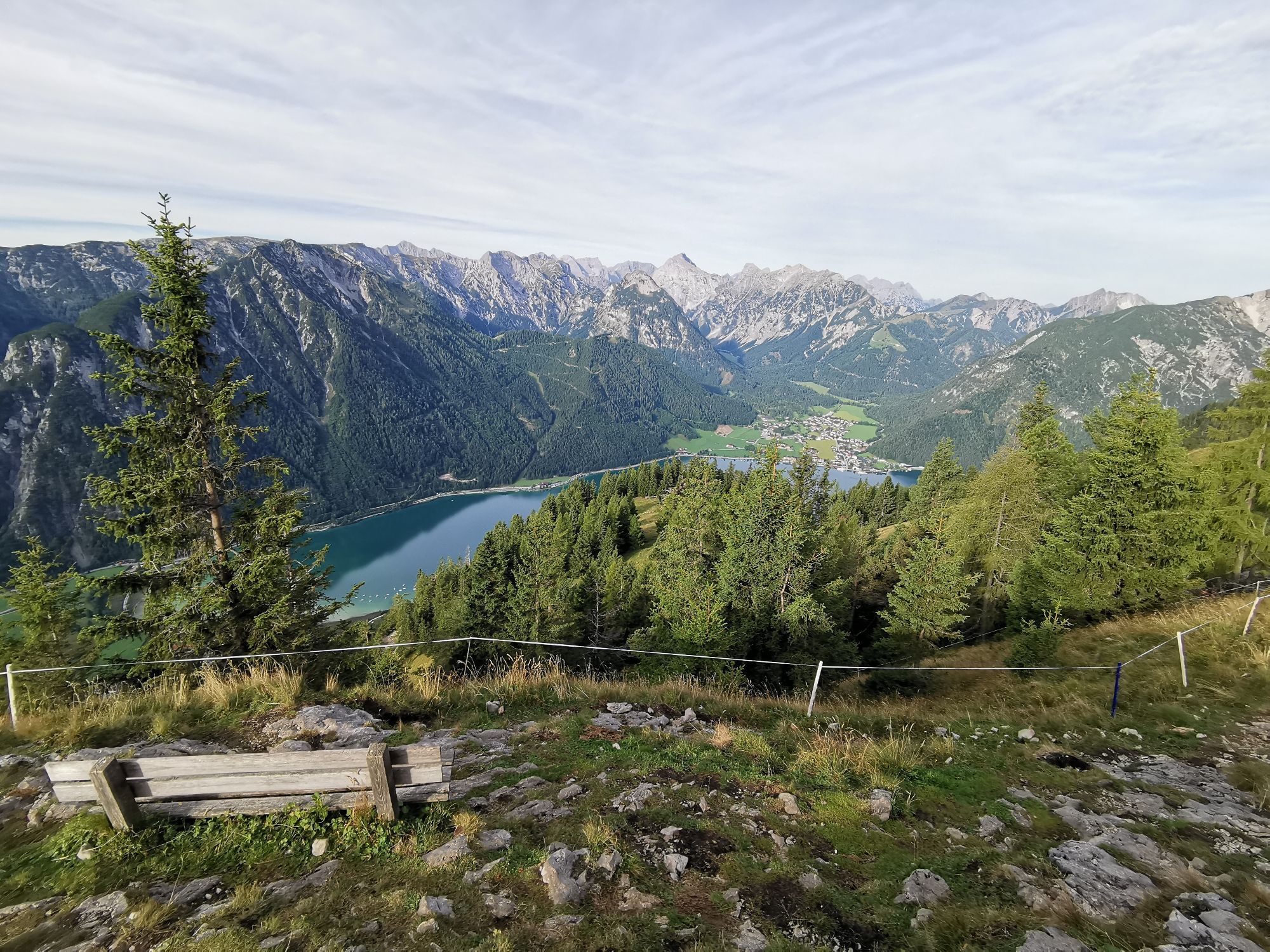


For German click here: https://www.bergfex.at/sommer/tirol/touren/wanderung/474466,hochiss-und-dalfazer-kamm/ The hike starts at the top station of "Rofanbahn" cable car. Descend a few meters, direction...
For German click here:
www.bergfex.at/sommer/tirol/touren/wa...
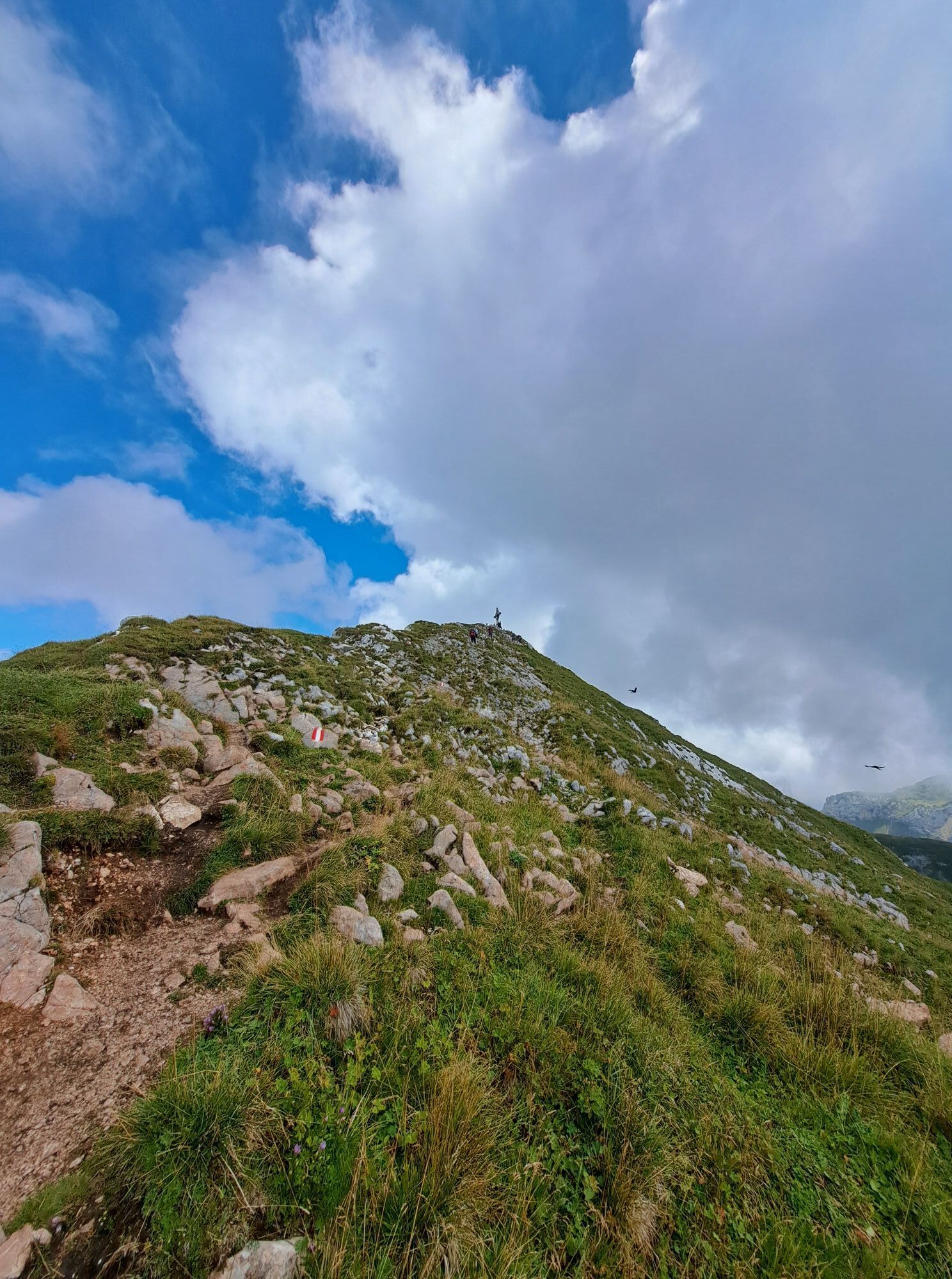
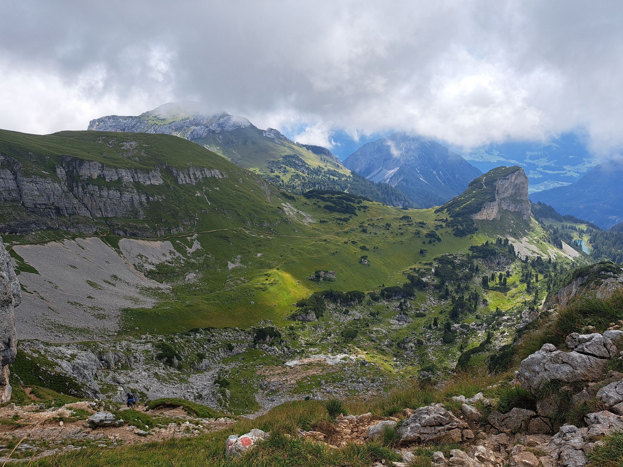
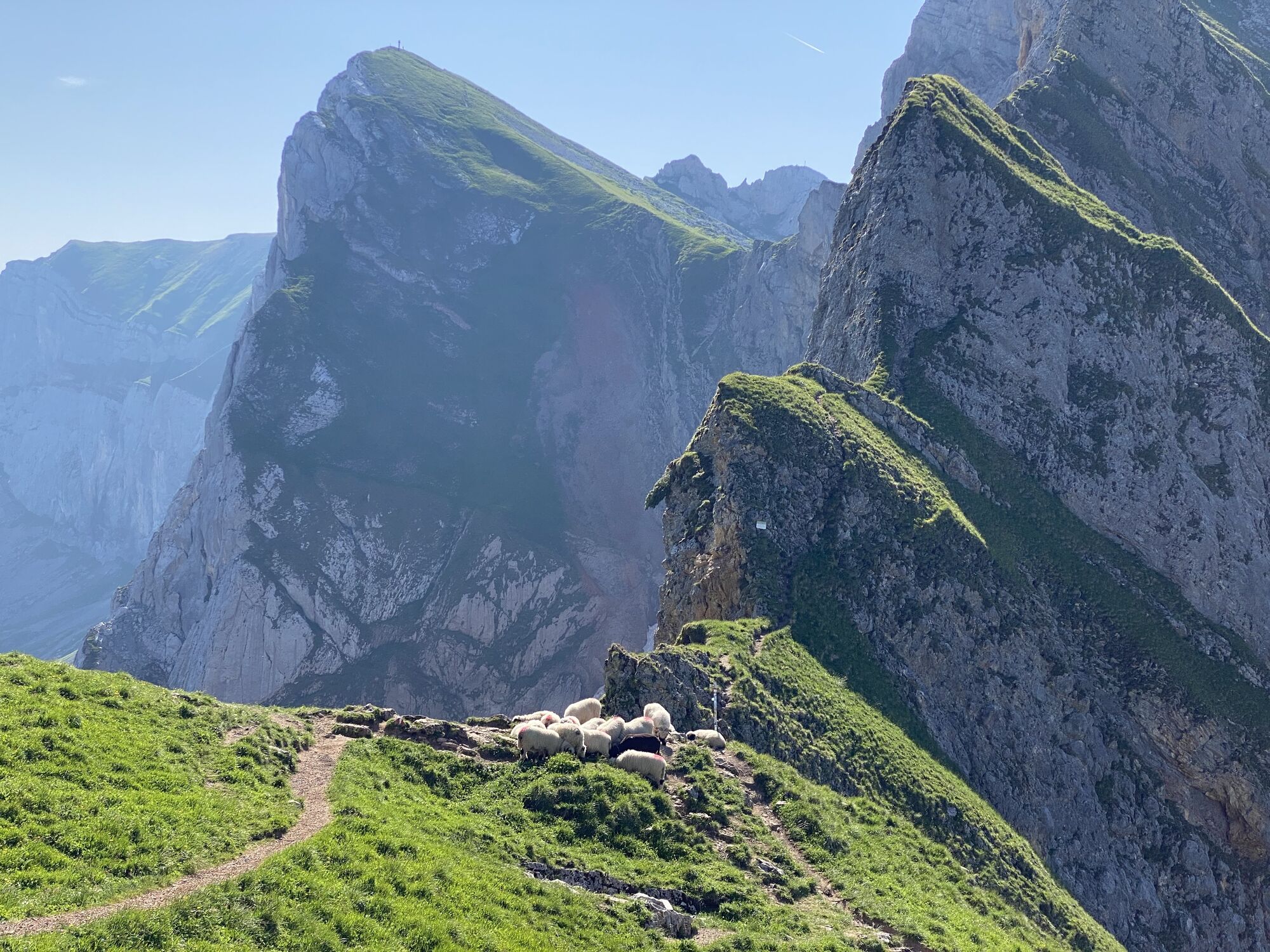
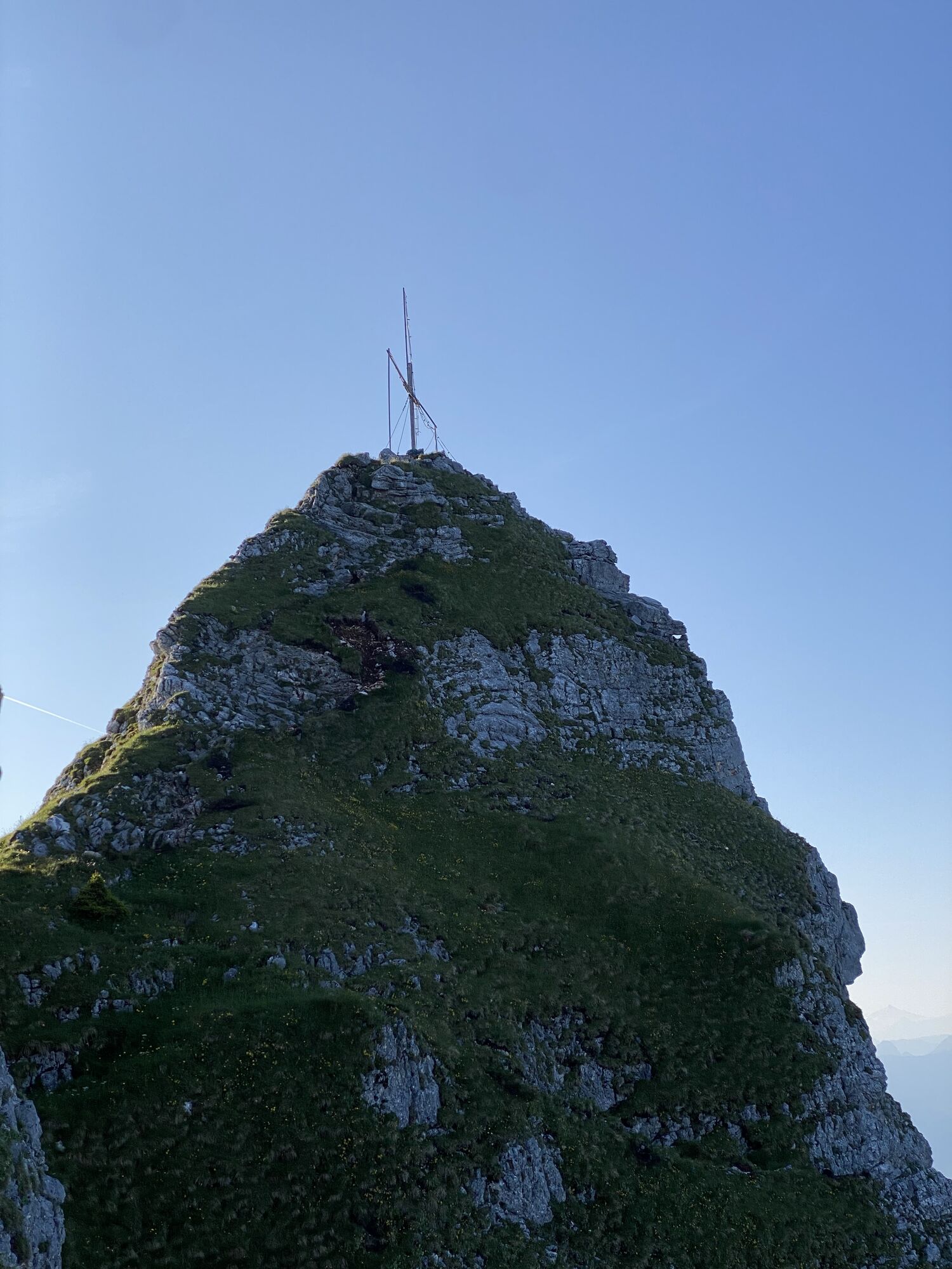
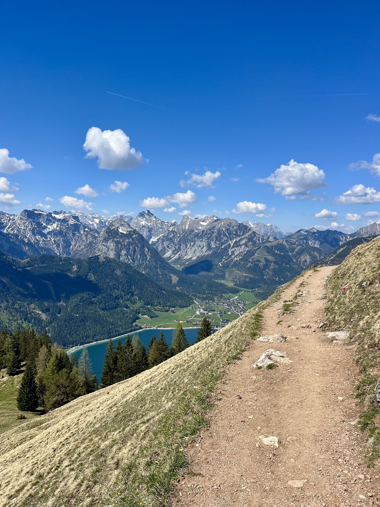
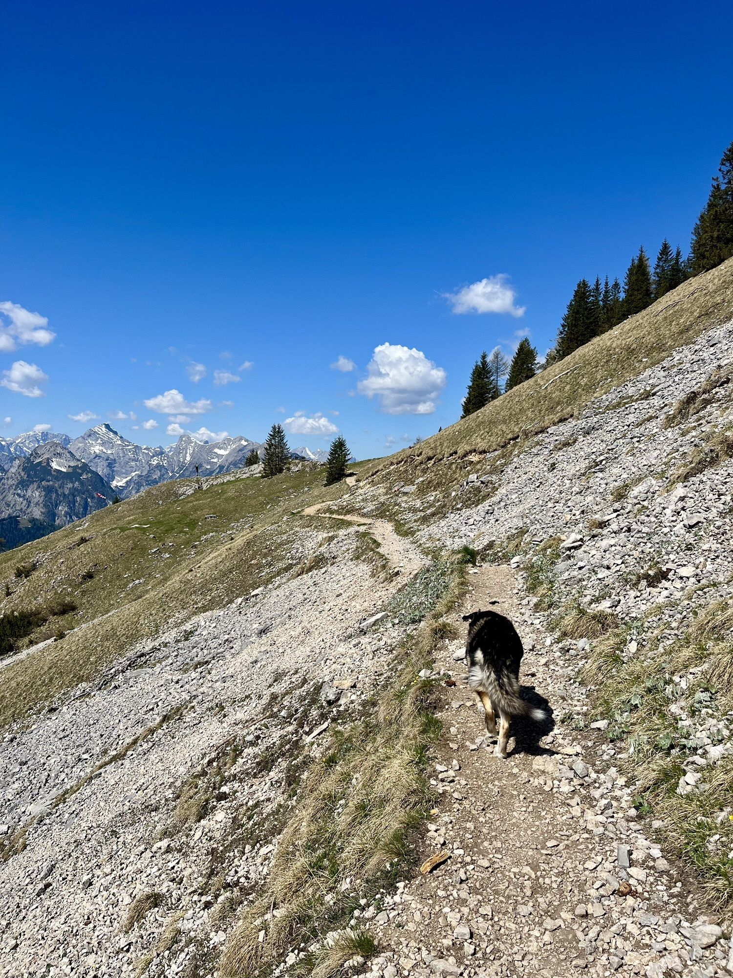
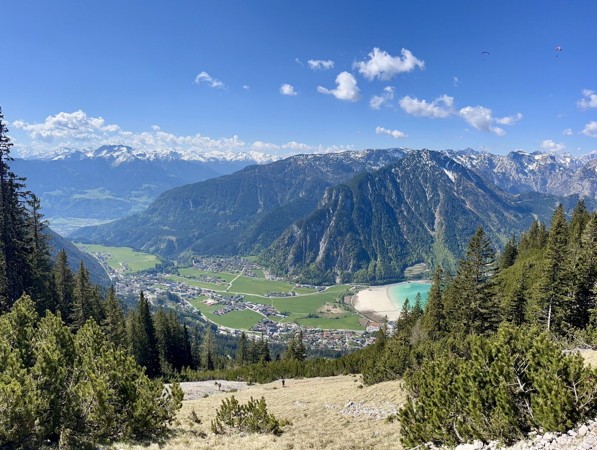
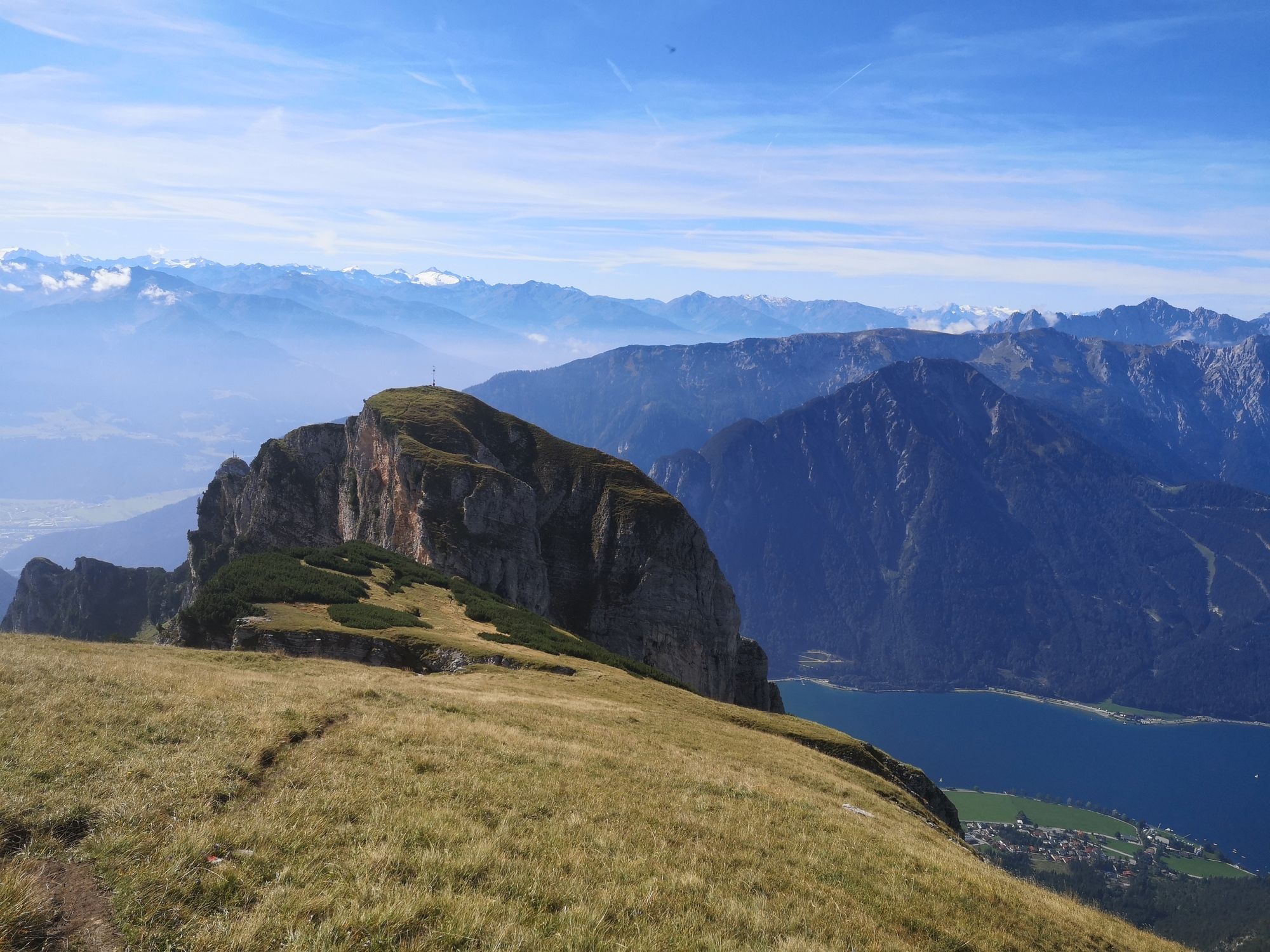
The hike starts at the top station of "Rofanbahn" cable car. Descend a few meters, direction north, and follow the signposts in the direction "Hochiss". The relatively wide trail passes below Gschöllkopf mountain. After an easy and not exposed fixed-rope section you will reach a relatively flat and grassy plateau. There, continue northwards to the col between Spieljoch and Hochiss mountains (rockfall along this section!). Now the trail turns left and passes below the summit of Hochiss mountain, then steeply uphill to another signpost. Turn right there and you will soon reach the summit of Hochiss mountain with its stunning views.
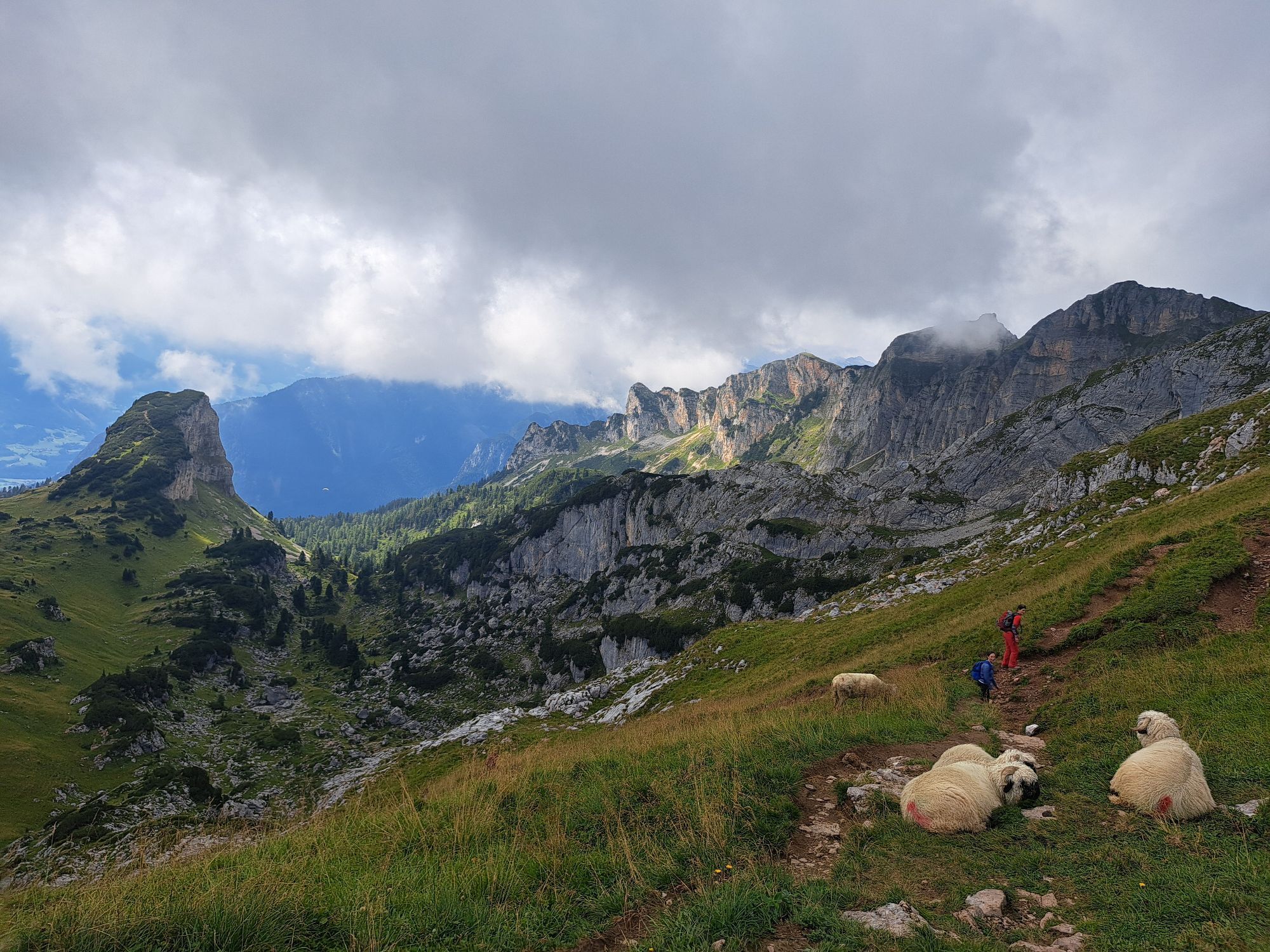
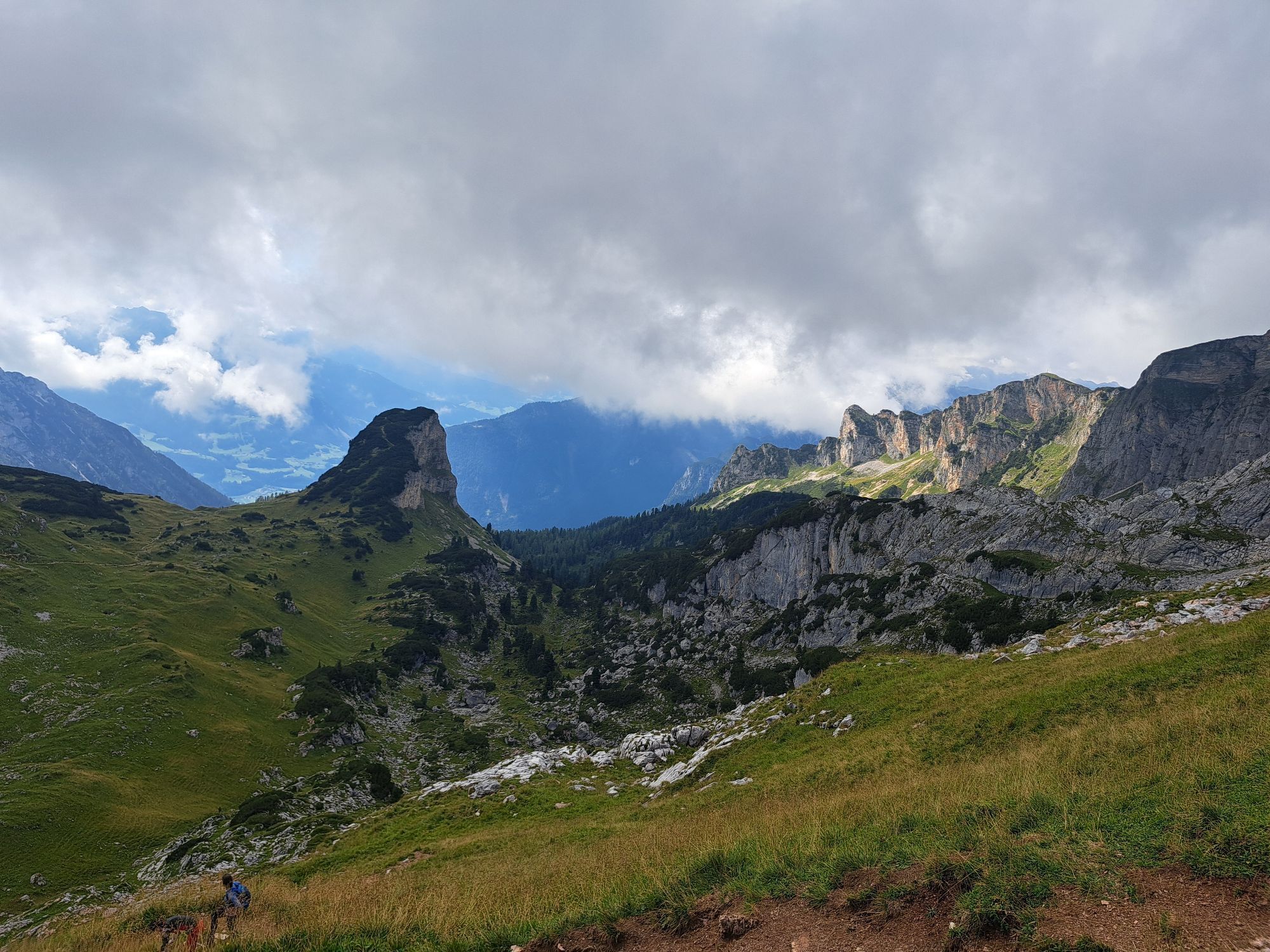
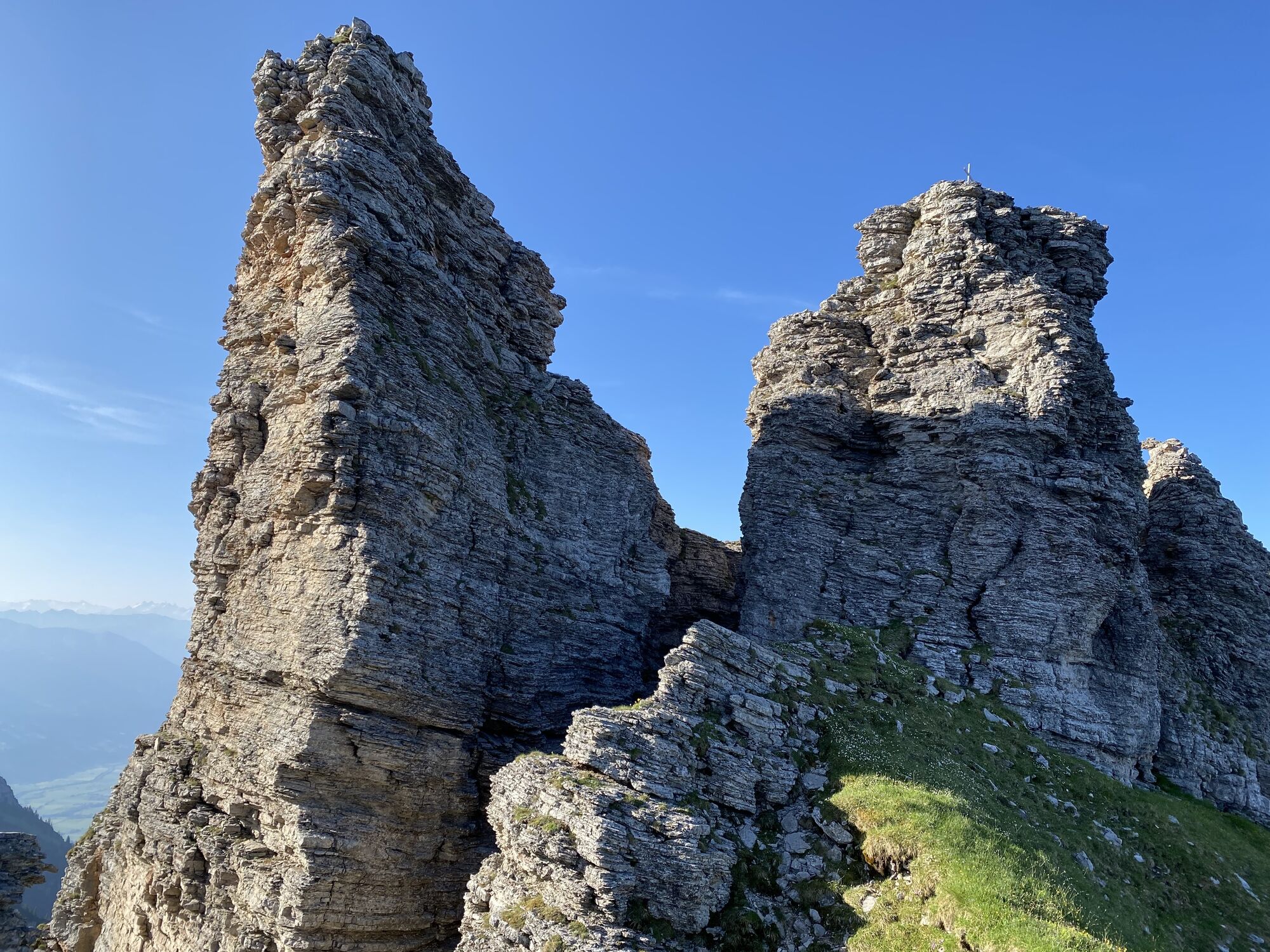
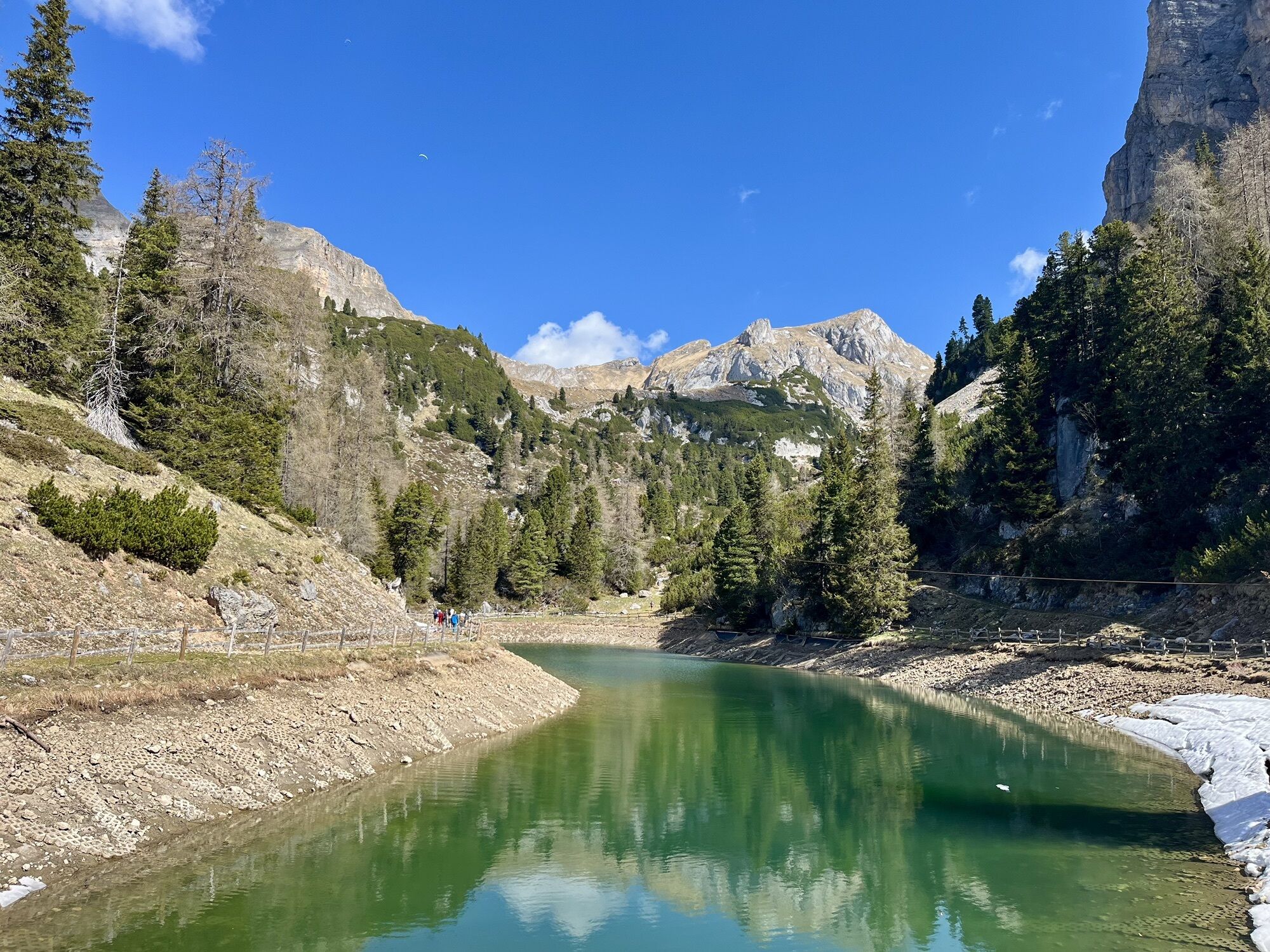
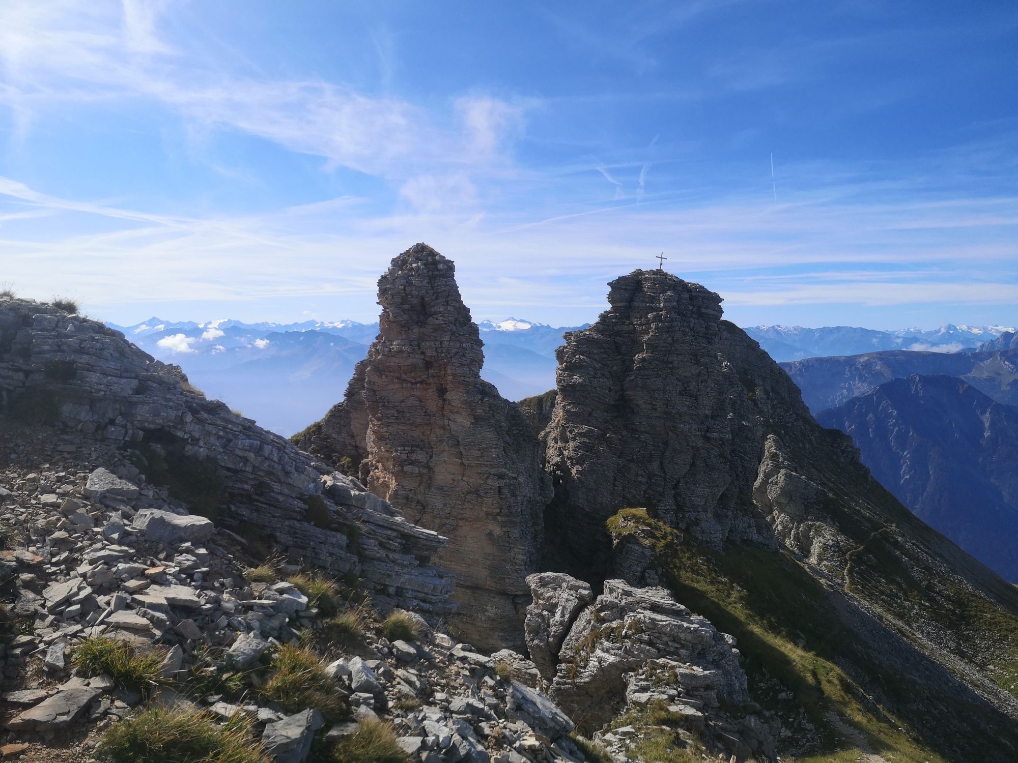
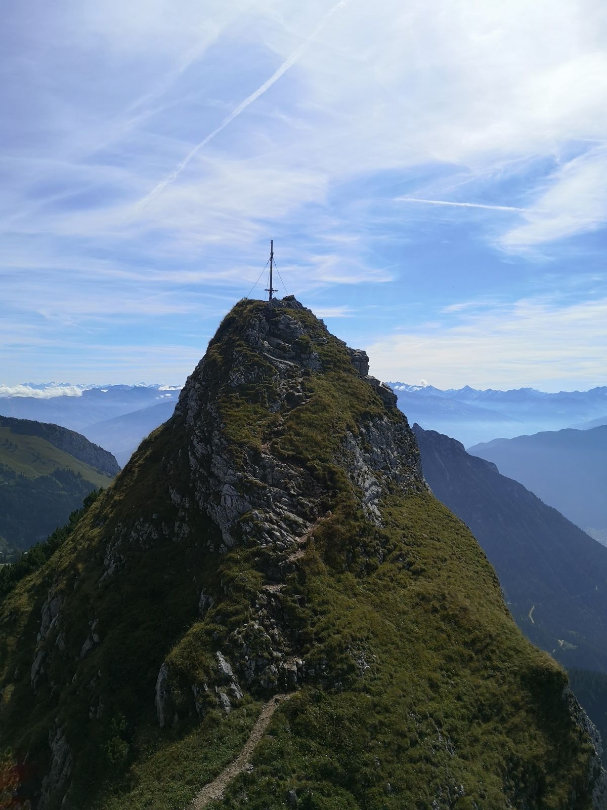
Back at the last signpost you can either turn left and walk down the ascent route (easy option) or you can turn right (direction west) and hike the trail along Dalfazer Kamm ridge. Soon you will reach a steep fixed-rope section and soon afterwards the top of Dalfazer Kamm ridge. Turn left onto the grassy ridge there (trail well visible and marked!). On the ridge you will pass over and pass by several small summits. At one point you will have to ascend a very exposed and nearly vertical fixed-rope section! After that section the trail will become easier again and you will reach patches of mountain pines, right below the summit of Rotspitze mountain which can be ascended in only a few minutes extra. Continue further south, now relatively steeply downhill until you reach the intersection with the very wide trail that leads from the gondola top station to Dalfazalm.Turn left there and you will reach the gondola in about 20 minutes.


*Descent along the ascent route
*Route via Dalfazer Alm hut: When you are at the beginning of Dalfazer Kamm ridge do not turn left onto it, but continue straight downhill via Steinernes Törl signpost to Dalfazer Alm hut. From there follow the wide trail back to the top station of the gondola. Route well marked and signposted!
None along the way, but "Erfurter Hütte" hut at the start or end of the hike (right next to the top station)
BEV-map scale 1:25000, NL 32-02-18 West, Achensee
Da
Da
Da
Strong hiking boots, food, drinks, suncream, cap/hat, mobile phone, and everything else one needs in the mountains.
A via ferrata kit is recommended, a helmet as well!
For the most part walking terrain, but the route also includes multiple fixed-rope sections, some of which are steep and exposed. A via-ferrata kit is highly recommended for those who are not familiar with this terrain!
A12 exit Wiesing. From there B181 uphill to Maurach and there turn right to the parking area near the valley station of "Rofanbahn" gondola.
Valley station "Rofanbahn" gondola
Camere web ale turului
Tururi populare în vecinătate
-
4,5
Achensee-Umrundung
mediuExcursie 23,3 km -
4,5
Wandern zum Bärenkopf
mediuExcursie 10,9 km -
4,6
Uferweg von Pertisau zur Gaissalm am Achensee, Österreich
mediuExcursie 5,16 km -
4,6
Gütenberg und Feilkopf
luminăExcursie 10,4 km -
4,5
Wolfsklamm über Maria Tax
mediuExcursie 5,50 km -
4,8
Bergstation Rofan Seilbahn - Dalfaz Alm - Bergstation Rofan Seilbahn
luminăExcursie 4,94 km -
4,1
Kellerjoch Hütte - Knappenkapelle
mediuExcursie 6,70 km -
4,9
Achensee - Erfurter Hütte
mediuExcursie 9,24 km -
4,8
Hochiss und Gschöllkopf mit Rofanbahn
mediuExcursie 6,40 km -
4,5
Sonnjoch
mediuExcursie 11,2 km

Drumeții și urmărire


Nu ratați ofertele și inspirația pentru următoarea dvs. vacanță
Adresa dvs. de e-mail a fost adăugat la lista de corespondență.