


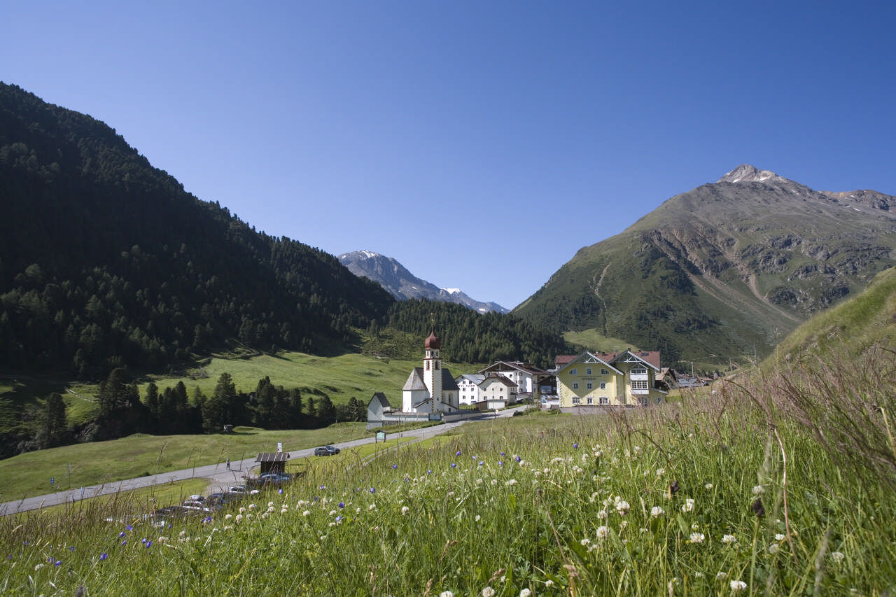
Obergurgl - Ramoljoch - Vent


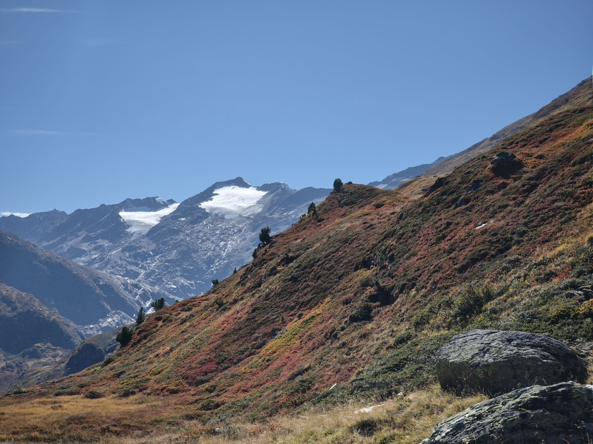
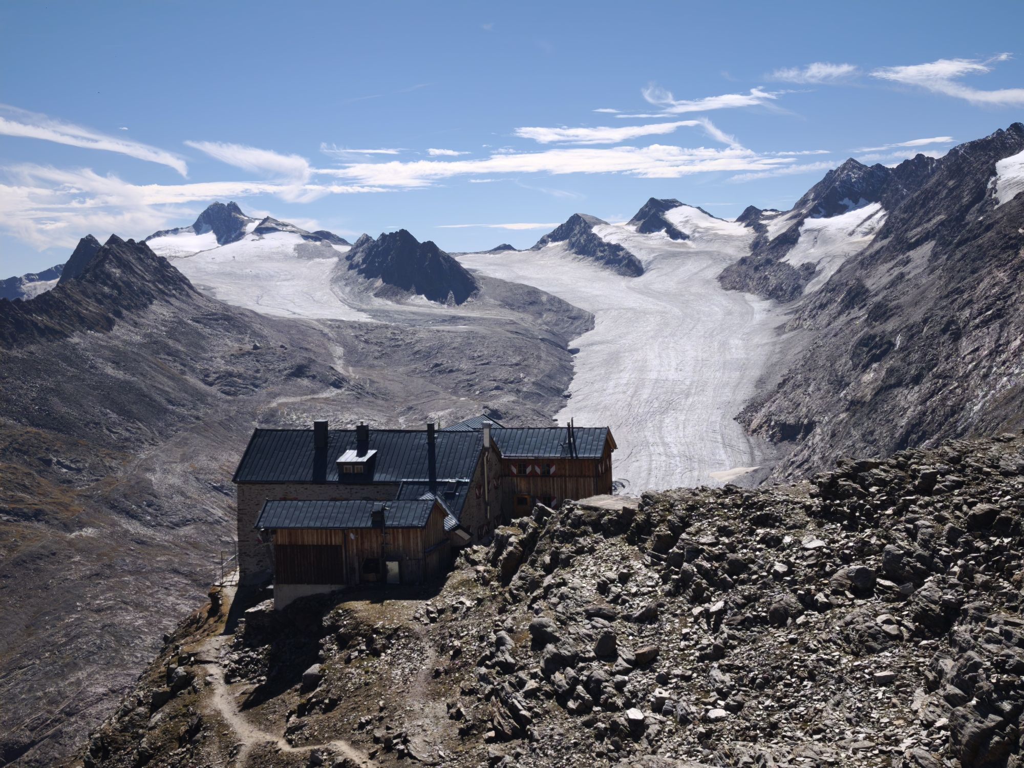
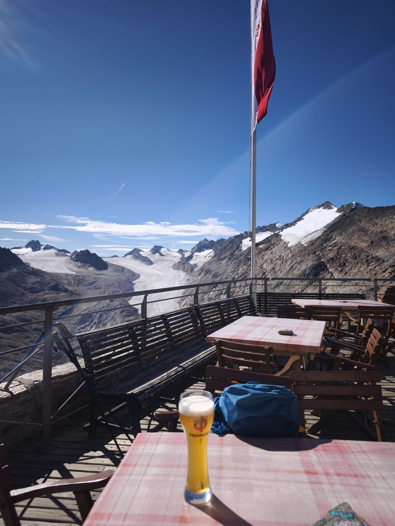
From Obergurgl over the Achbrücke initially slightly steep to the "Beilstein", then over the Hochmähder to the Küppele-Shepherd's hut, continuing steeply up to the Ramolhaus and over the Ramolferner and...
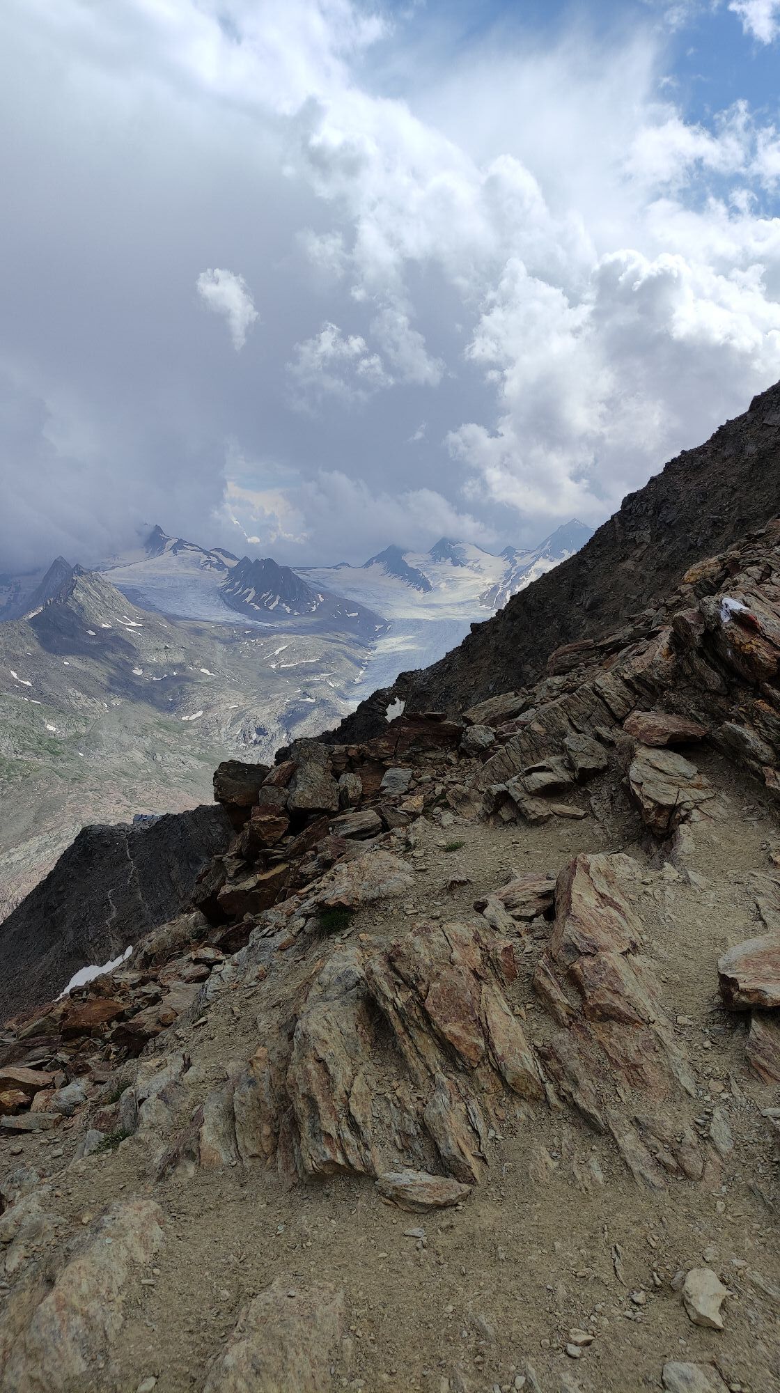
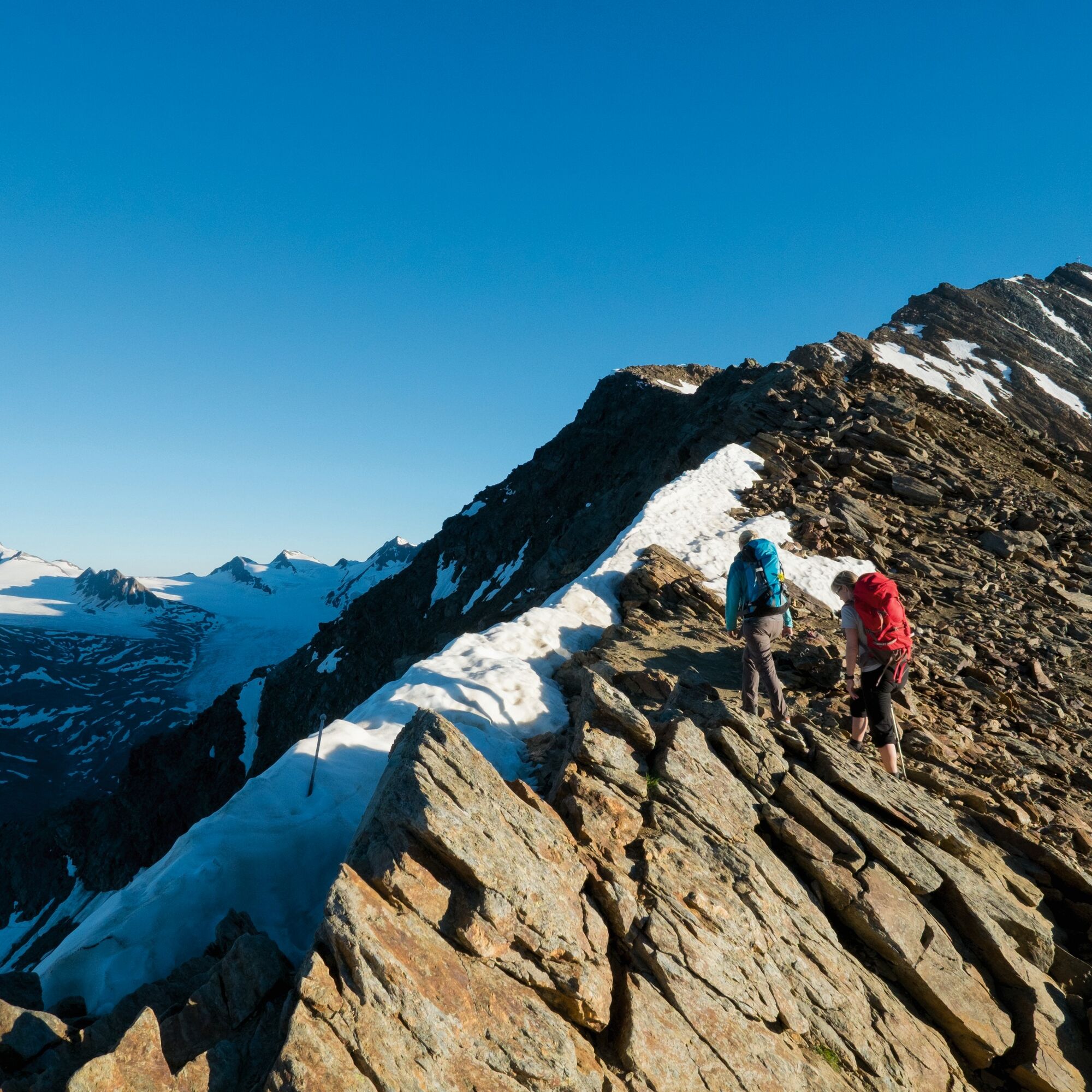
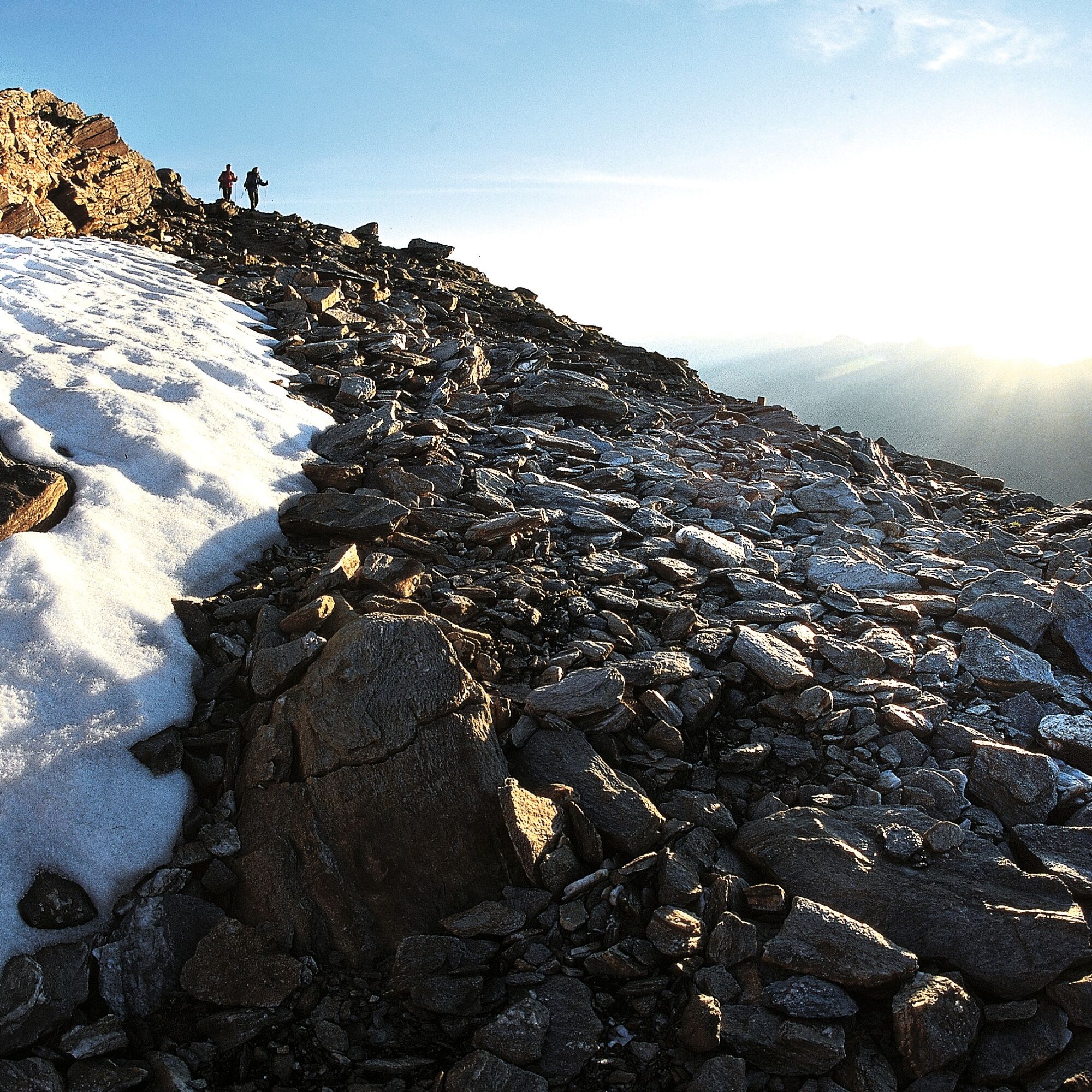
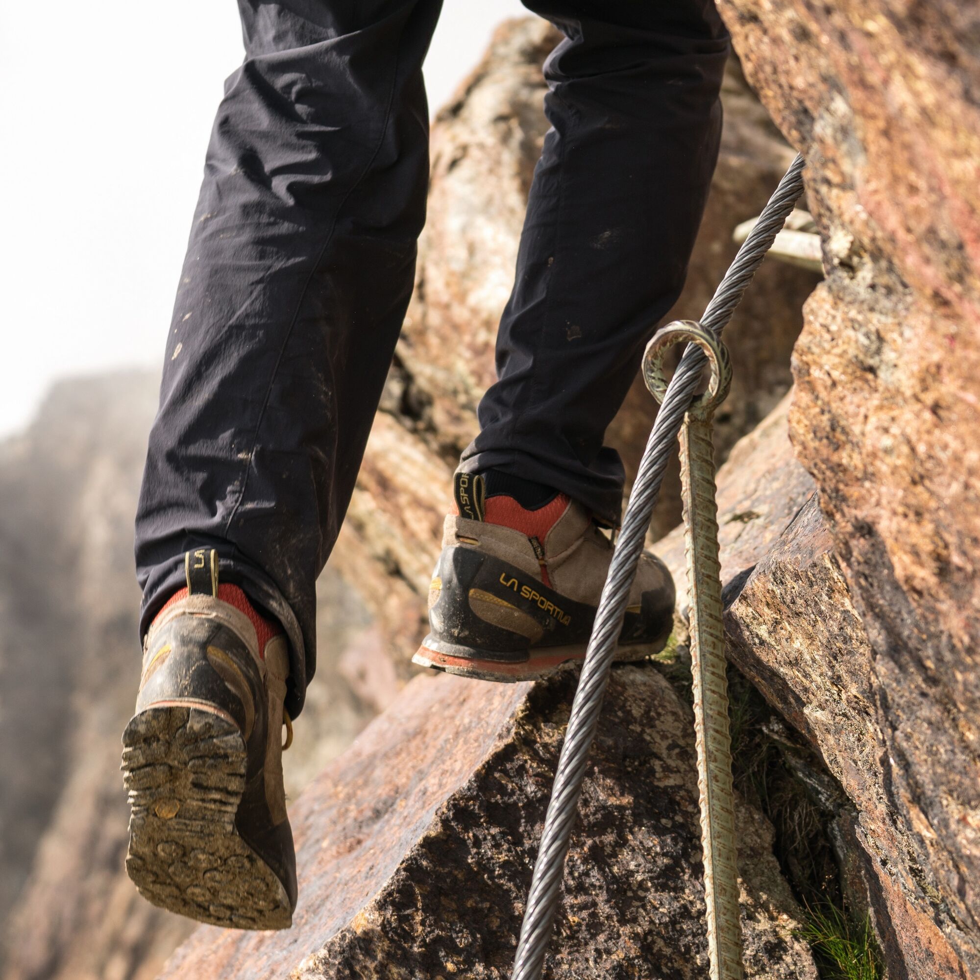
From Obergurgl over the Achbrücke initially slightly steep to the "Beilstein", then over the Hochmähder to the Küppele-Shepherd's hut, continuing steeply up to the Ramolhaus and over the Ramolferner and very rocky terrain in about 30 minutes to the Ramoljoch access point. There it is secured with ropes, partly over ladders, to the Ramoljoch.
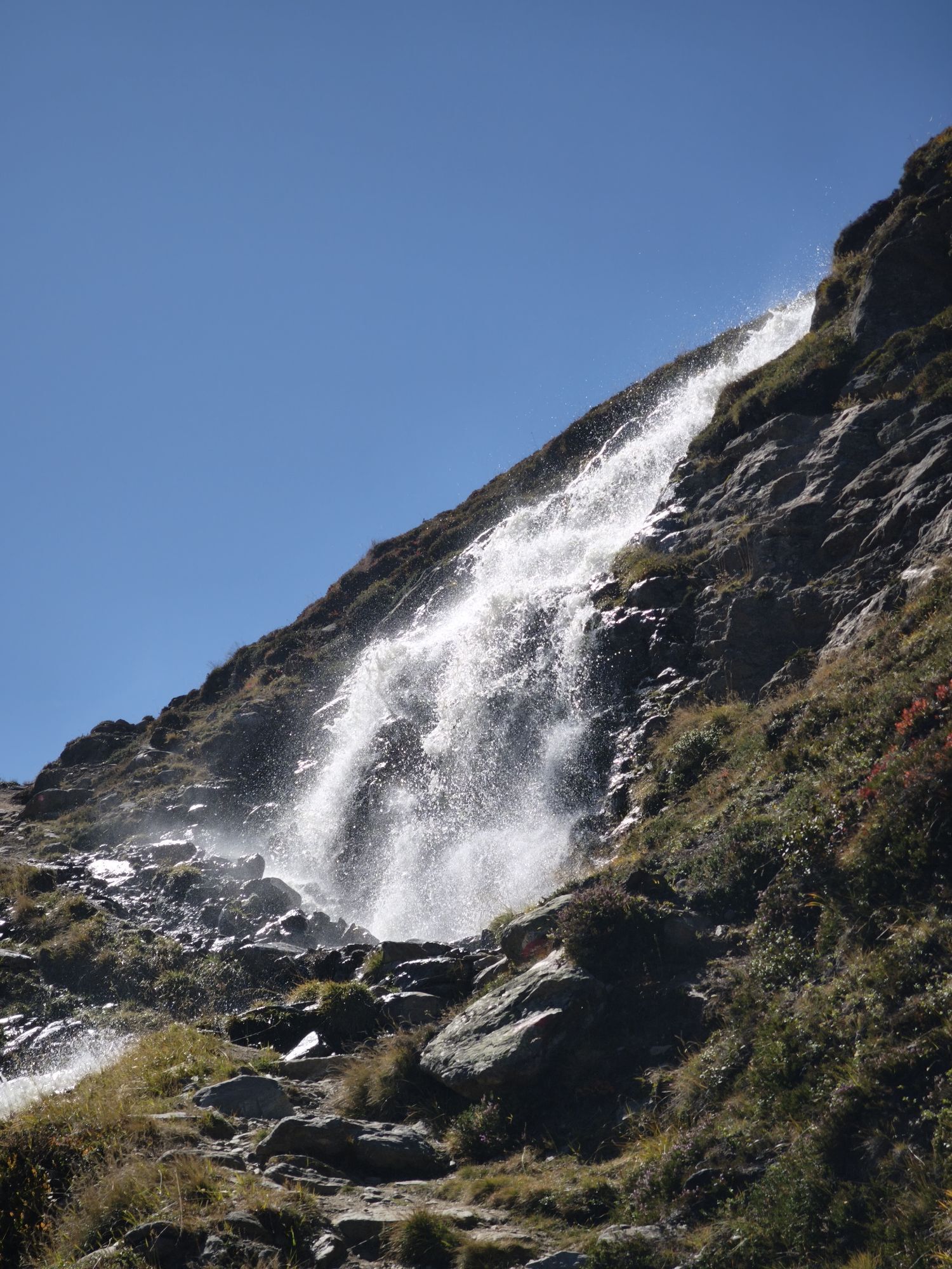
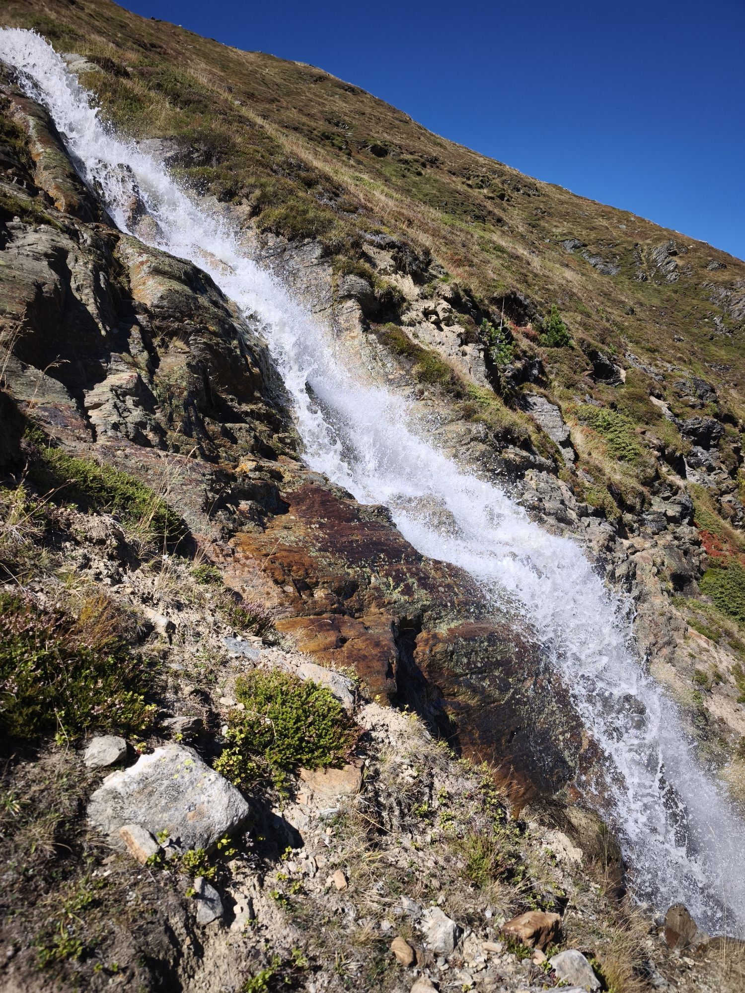
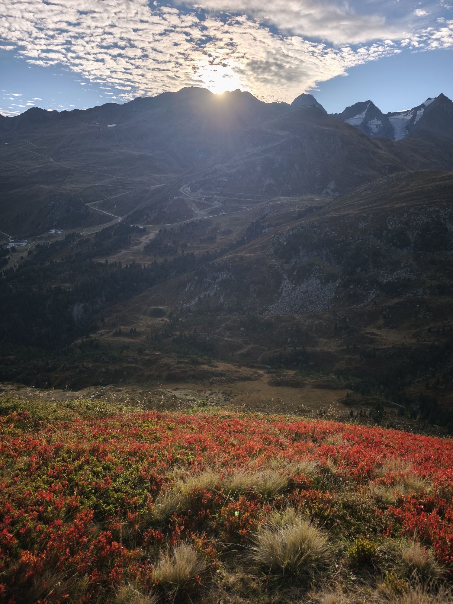
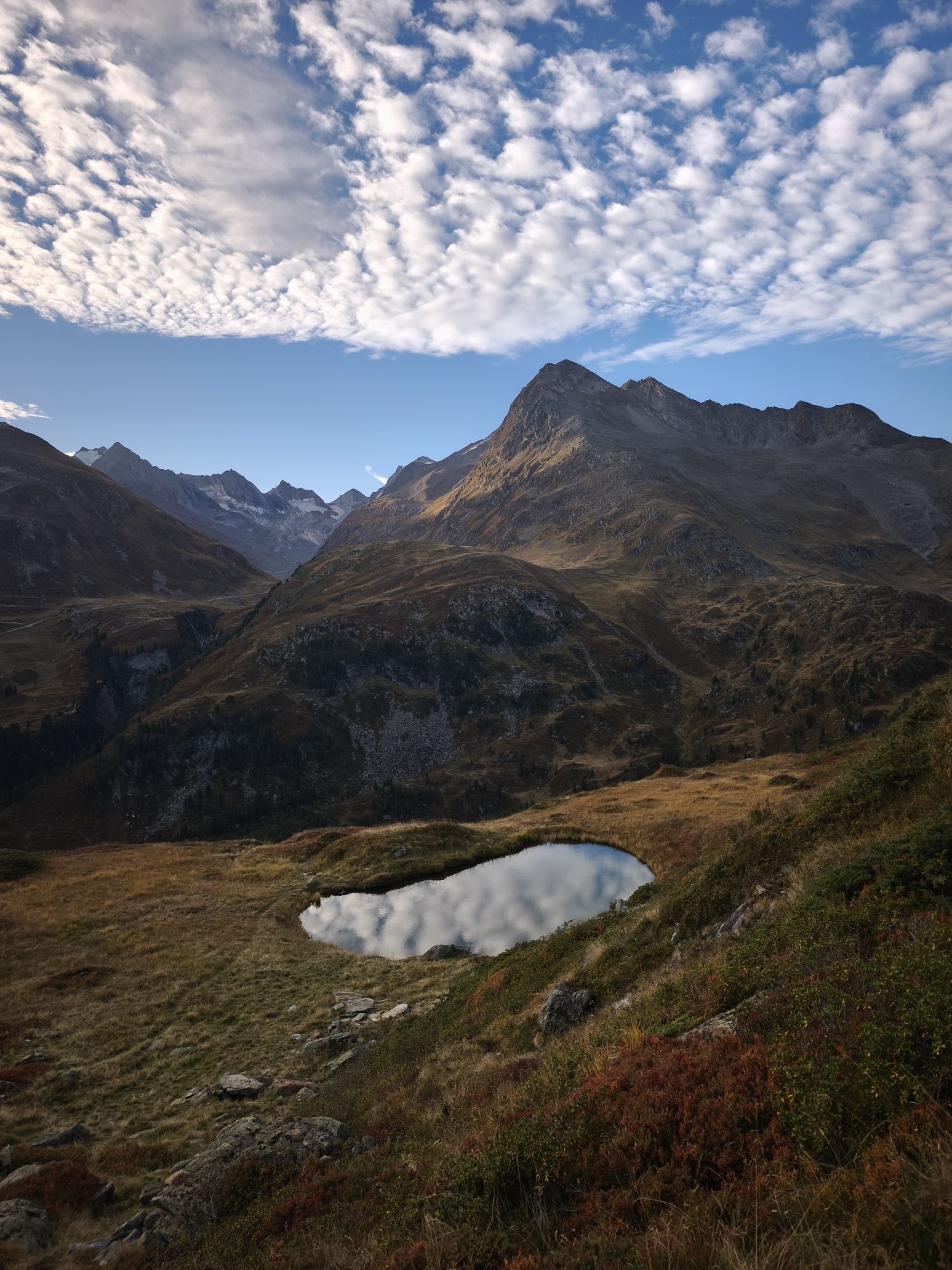
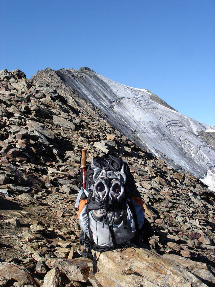
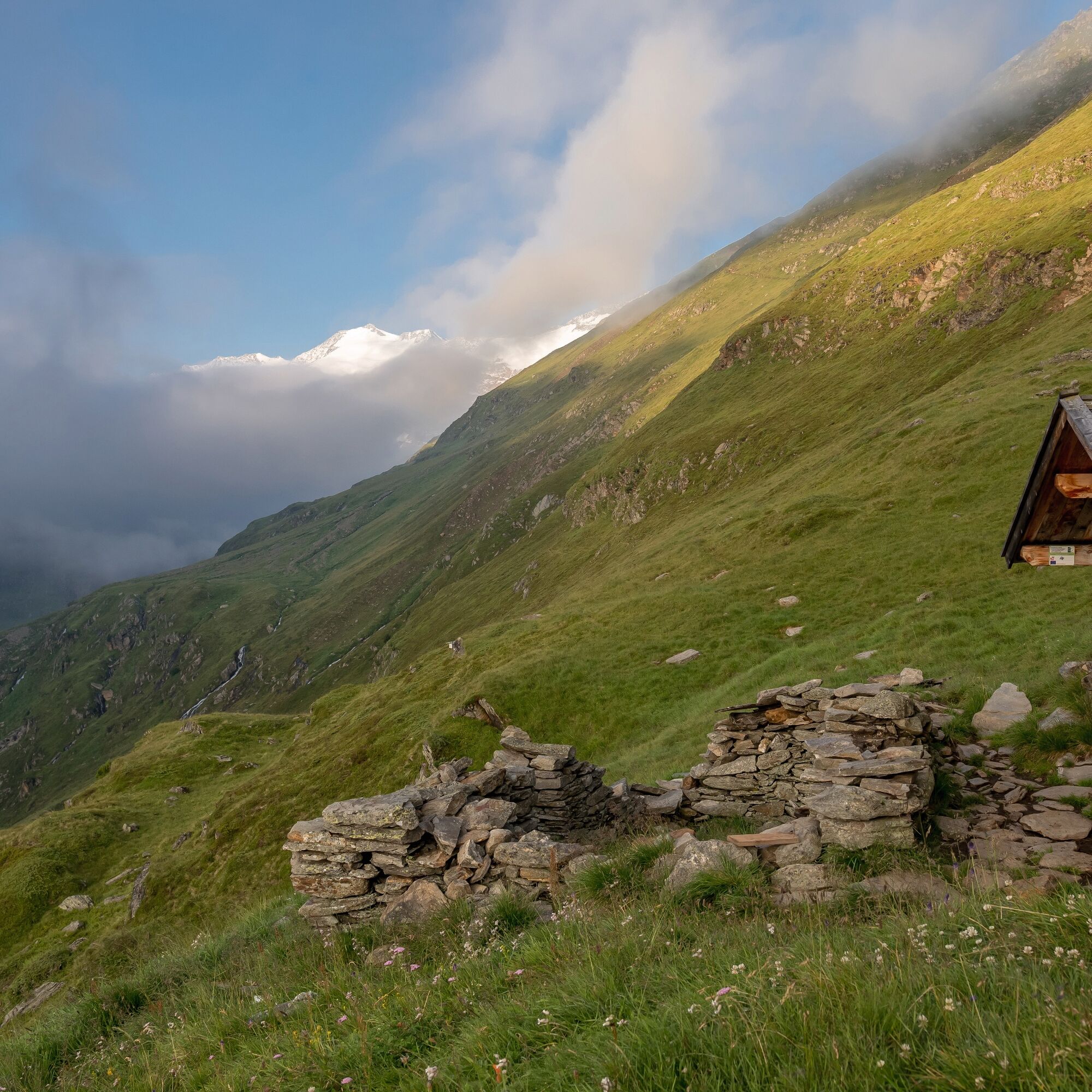
The descent leads over very rocky, steep terrain, then over an easier path to the Ramolalm (not managed!). From there descent to Vent. Only in good weather and with suitable alpine equipment.
Surefootedness and sure-handedness required!
Walking times:
Obergurgl - Ramolhaus: 3 - 4 h
Ramolhaus - Ramoljoch: approx. 1 h
Ramoljoch - Vent: 3.5 - 4 h

From Obergurgl over the Achbrücke initially slightly steep to the "Beilstein", then over the Hochmähder to the Küppele-Shepherd's hut, continuing steeply up to the Ramolhaus and over the Ramolferner and very rocky terrain in about 30 minutes to the Ramoljoch access point. There it is secured with ropes, partly over ladders, to the Ramoljoch.
The descent leads over very rocky, steep terrain, then over an easier path to the Ramolalm (not managed!). From there descent to Vent. Only in good weather and with suitable alpine equipment.
Surefootedness and sure-handedness required!
Walking times: Obergurgl - Ramolhaus: 3 - 4 h Ramolhaus - Ramoljoch: approx. 1 h Ramoljoch - Vent: 3.5 - 4 h
Suitable equipment such as breathable and weather-appropriate outdoor clothing, ankle-high hiking boots, wind, rain and sun protection, hat, possibly gloves, is required for all hikes and routes. Carrying a first aid kit, a mobile phone and possibly a hiking map, as well as sufficient provisions on hikes without dining options, is necessary.
For sure-footed, confident, and highly alpine experienced mountaineers; excellent physical condition, extensive mountain experience, alpine climbing equipment, securing and navigation tools, good weather conditions recommended Please check the current weather report at: www.oetztal.com/de/sommer.html
The car journey to the ÖTZTAL. Located in Tyrol, the ÖTZTAL branches off southwards as the longest side valley of the Eastern Alps. Arrival by car takes vacationers over the Inn Valley to the valley entrance and continues along the Ötztal. Besides the toll motorway, country roads may also be used. The route planner lets you determine your trip quickly and conveniently: To the route planner: https://www.google.at/maps
Travel comfortably and safely by train to the Ötztal train station. The final stop or exit point is the ÖTZTAL station. From there you can conveniently and quickly travel by public transport or local taxi companies through the entire valley to your desired destination. The current bus schedule can be found at: http://fahrplan.vvt.at
In the mountaineering village Vent, the following parking options are available to you.
- In summer in front of the village (parking meter, coins or EC card only) and at the valley station of the chairlift (at the mountain railways ticket office)
Cost: €6.00 per day/car
In Gurgl, the following parking options are available:
Parking garage in the center of Obergurgl (down right in front of the church), paid | €2.00 per hour Parking garage at the village entrance – Festkoglbahn valley station, paid | €6.00 per day Parking lot Hochgurglbahn valley station, free – no overnight parking Parking lot Top Mountain Crosspoint, free Parking lot Hochgurgl, free (very small parking lot)
More info about hiking in the Ötztal: https://www.oetztal.com/wandern
Camere web ale turului
-
Obergurgl
-
Hochgurgl
-
Venter Seilbahnen - DSL Wildspitze
-
Obergurgl
-
Alt Vent
-
Geierwallihof - Rofen/Vent
-
Gaisberg
-
Vent
-
Top Mountain Crosspoint Hochgurgl
-
Top Mountain Crosspoint Hochgurgl
-
Top Mountain Crosspoint Hochgurgl
-
Top Mountain Crosspoint Hochgurgl
-
Top Mountain Crosspoint Hochgurgl
-
Vent
-
Vent
-
Obergurgl
-
Obergurgl
-
Obergurgl
-
Obergurgl
-
Obergurgl
-
Obergurgl
-
Obergurgl
-
Obergurgl - Hotel Edelweiss & Gurgl
-
Top Mountain Crosspoint Hochgurgl
Tururi populare în vecinătate
-
4,4
Hochwilde - Pfelders
mediuTur mare 22,1 km -
5,0
Kreuzspitze
greleExcursie 11,6 km -
The Meran High Mountain Road from Leiter Alm hut
greleExcursie 92,7 km -
4,5
Nederkogl
greleExcursie 6,22 km -
4,8
Vent - Martin Busch Hütte - Similaunhütte
mediuExcursie 13,7 km -
4,5
Lake Gaislachsee
mediuExcursie 4,04 km -
4,9
Pfossental - vom Vorderkaser auf die Stettinerhütte
mediuExcursie 23,7 km -
5,0
07. 19.07.19 - Langeggbahn-Rotkogel–Schwarzsee-Schwarzkogel-Giggijochbahn
mediuExcursie 6,67 km -
4,7
Spronser Seen lakes: At the heart of the Texelgruppe Nature Park
greleExcursie 15,1 km -
3,5
Timmelsjoch - Brunnenkogelhaus
greleExcursie 8,47 km
Drumeții și urmărire


Nu ratați ofertele și inspirația pentru următoarea dvs. vacanță
Adresa dvs. de e-mail a fost adăugat la lista de corespondență.