


Via ferrata Köllenspitze
Nivelul de dificultate: D


Fotografii ale utilizatorilor noștri
-

 © Mathias KöppCreat pe 29.07.2023
 -
 © Mathias KöppCreat pe 29.07.2023
 -
 © Mathias KöppCreat pe 29.07.2023
 -
 © Mathias KöppCreat pe 29.07.2023
 -
 © Ralf UmmingerCreat pe 20.07.2023
 -
 © Ralf UmmingerCreat pe 20.07.2023
 -
 © Ralf UmmingerCreat pe 20.07.2023
 -
 © Ralf UmmingerCreat pe 20.07.2023
 -
 © Ralf UmmingerCreat pe 20.07.2023


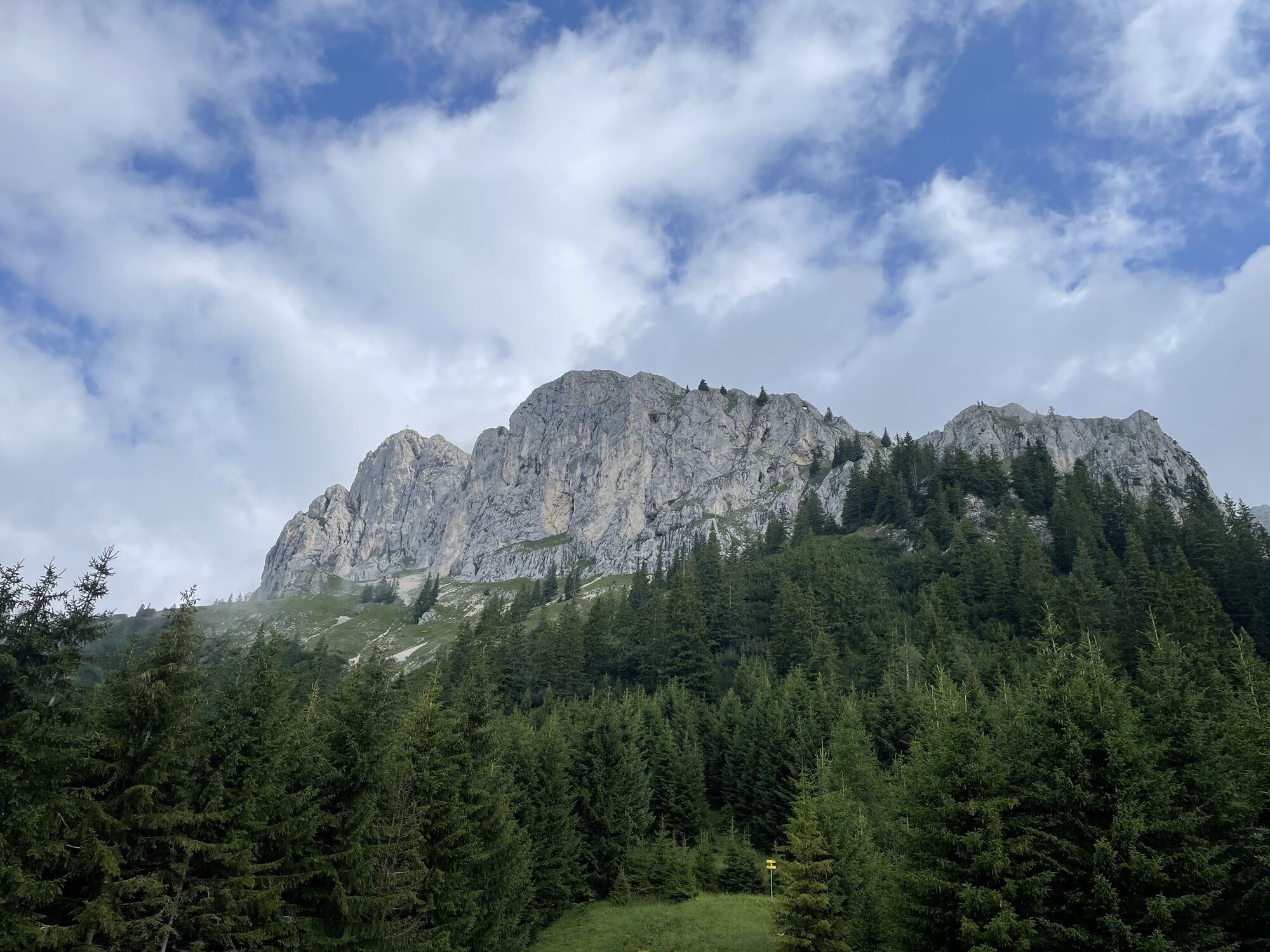
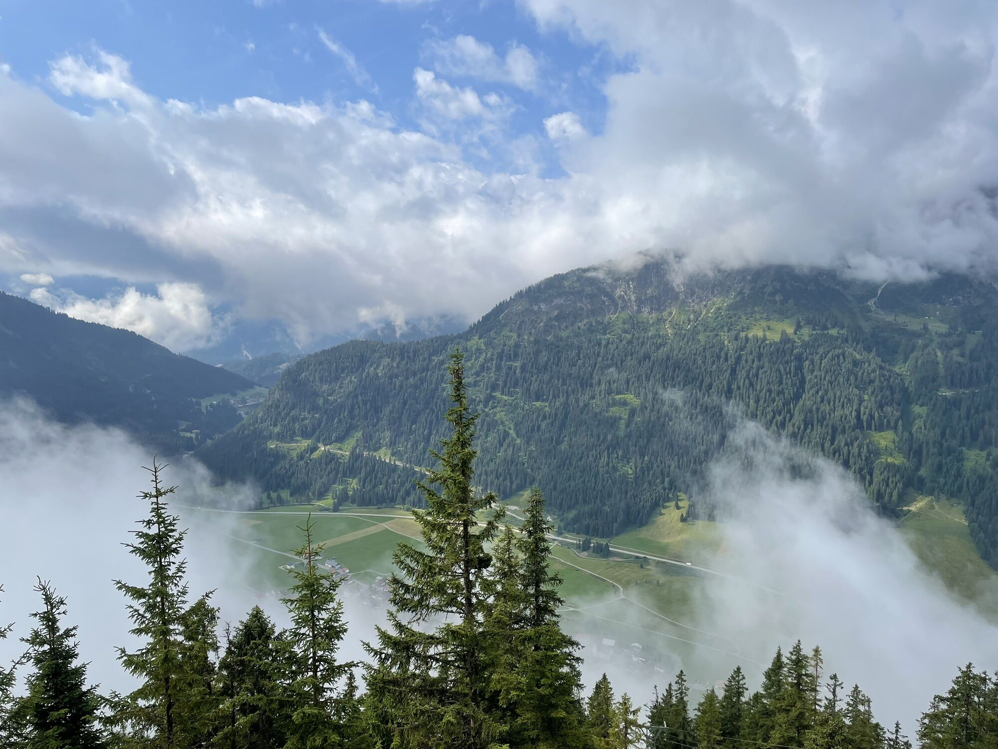
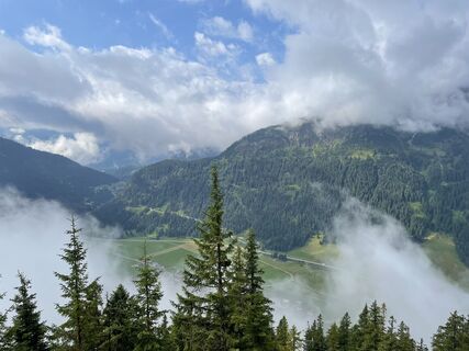
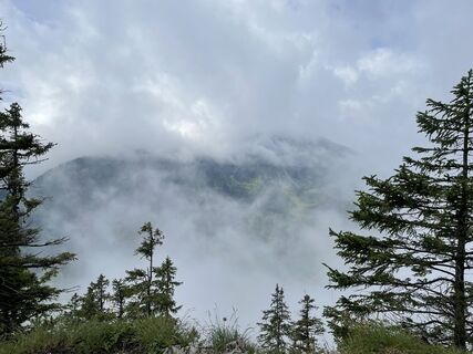
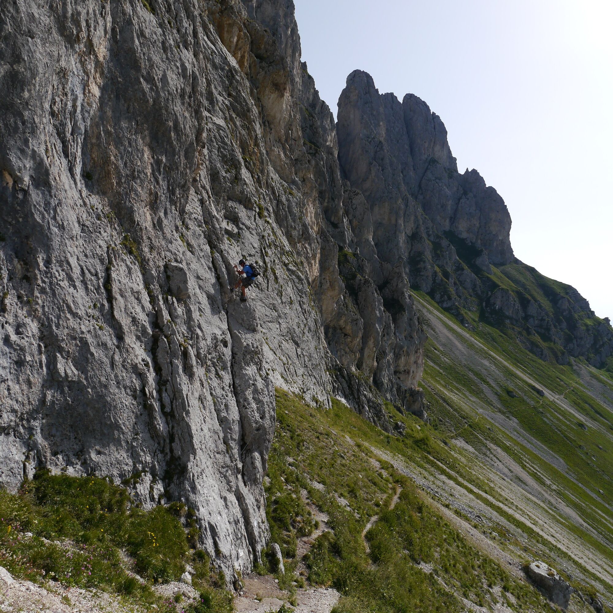
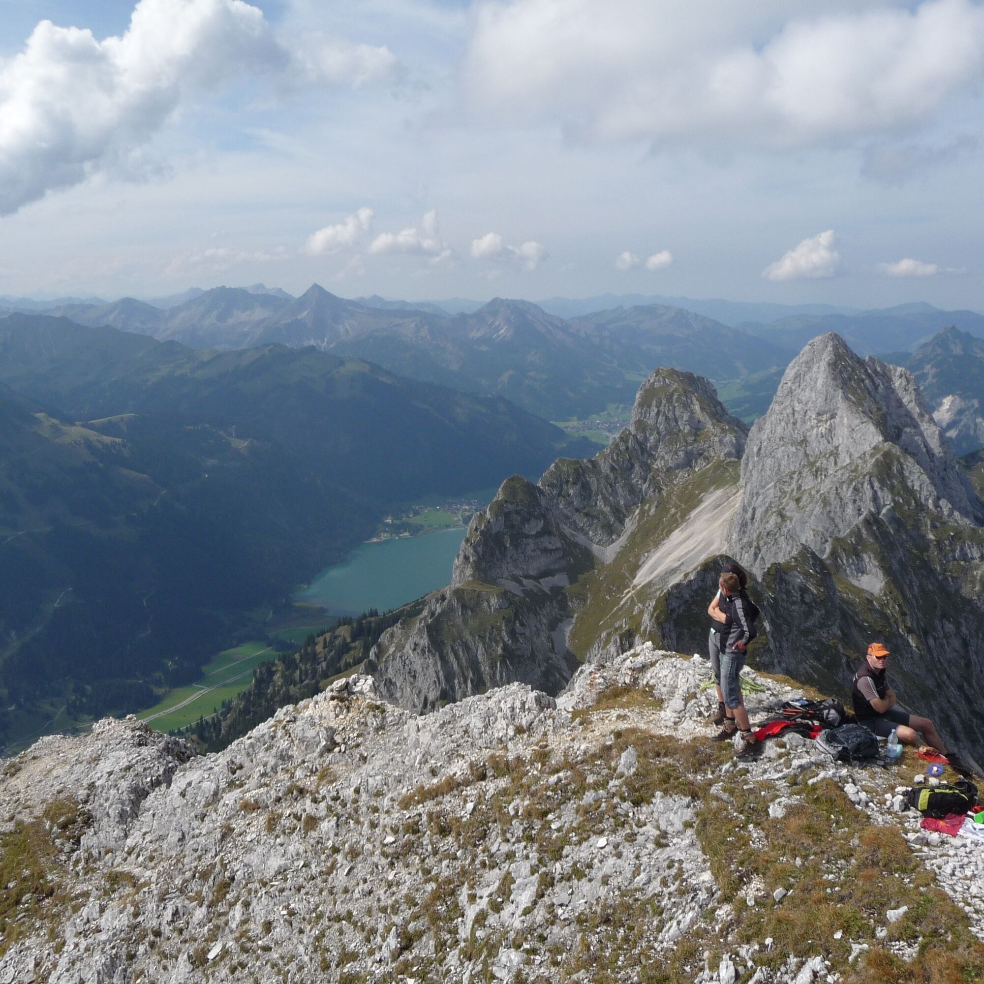
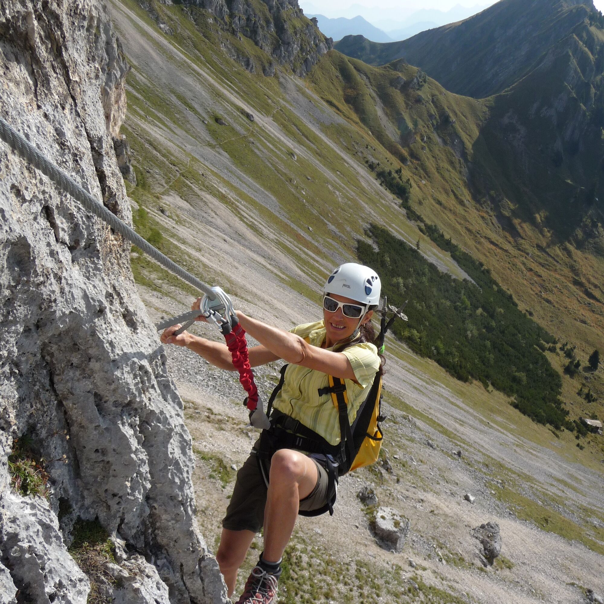
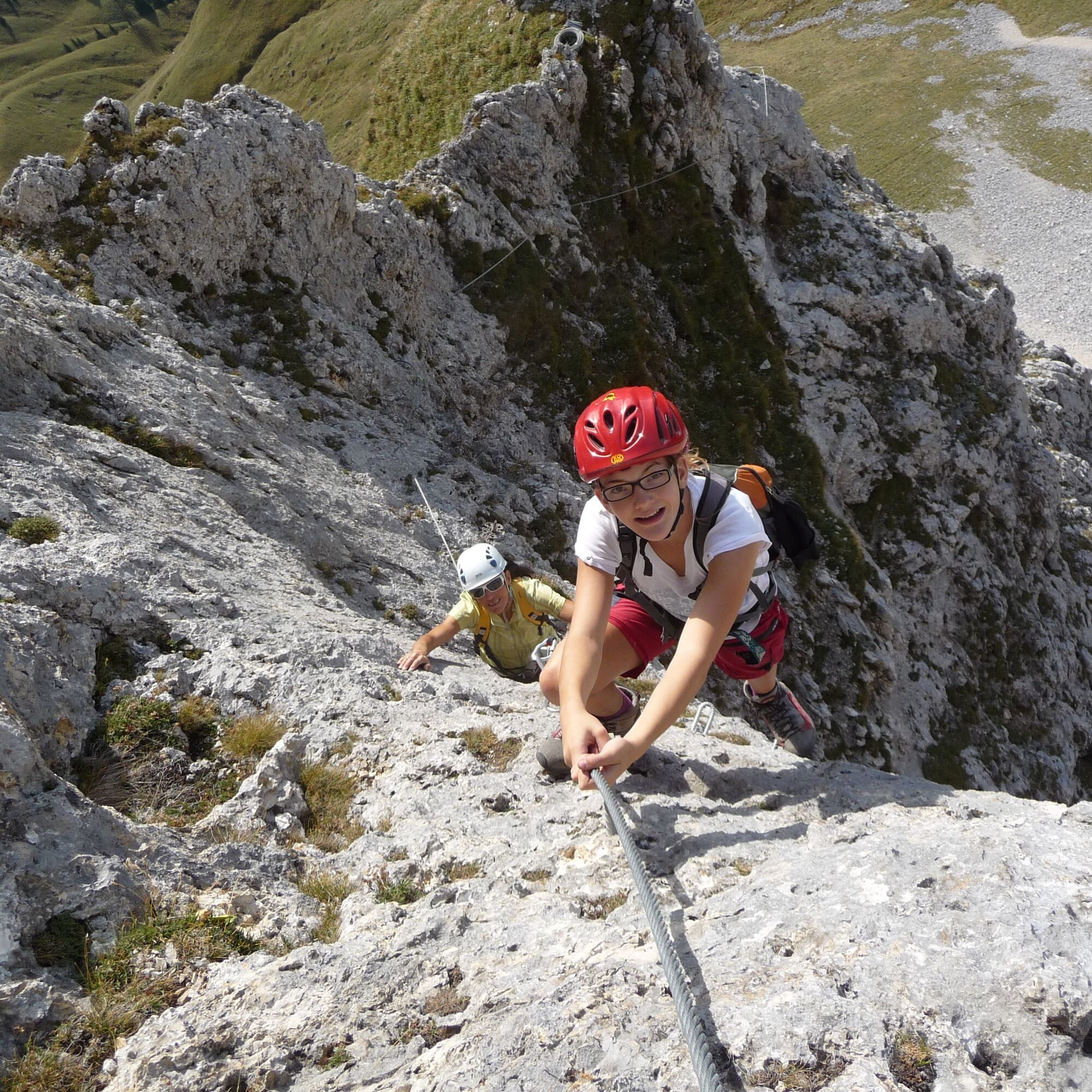
A beautiful, alpine via ferrata on the south side of the Köllenspitze - the route has class! Not only the difficulties, which are more in the upper range with passages up to difficulty level D, distinguish...
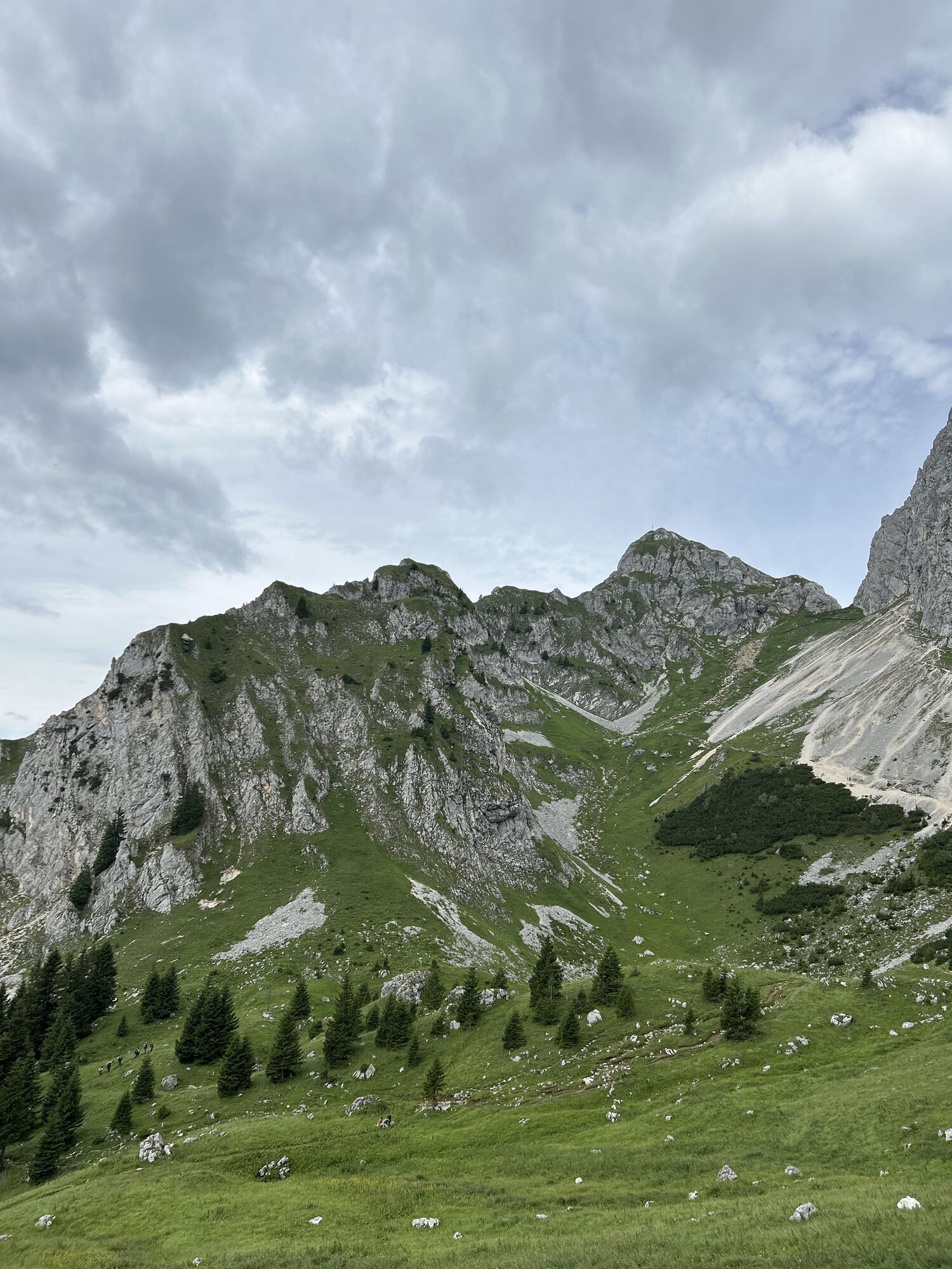
A beautiful, alpine via ferrata on the south side of the Köllenspitze - the route has class! Not only the difficulties, which are more in the upper range with passages up to difficulty level D, distinguish this Ferrata. The mix of a longer ascent, great, difficult sport via ferrata and alpine tricky descent make for the perfect adventure via ferrata day. On the summit you have both the rugged peaks of the Alps in the south and a wonderful view over the Tannheimer Tal.

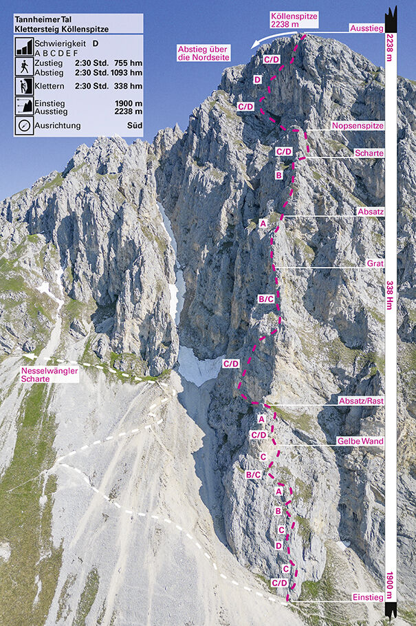
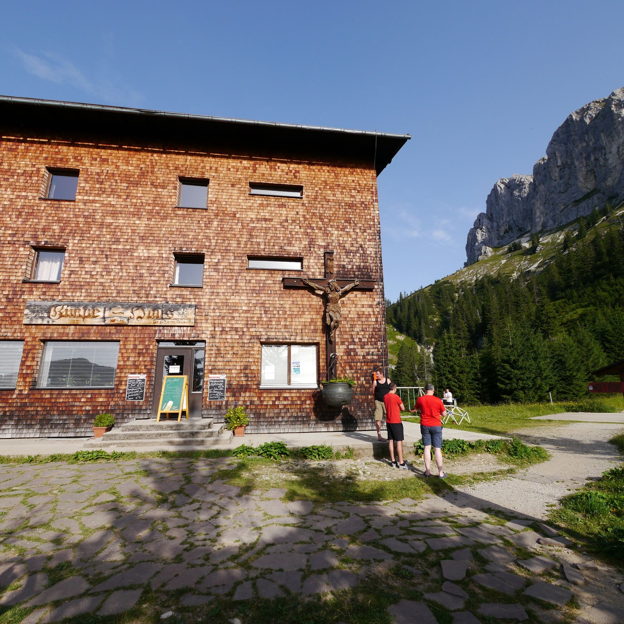

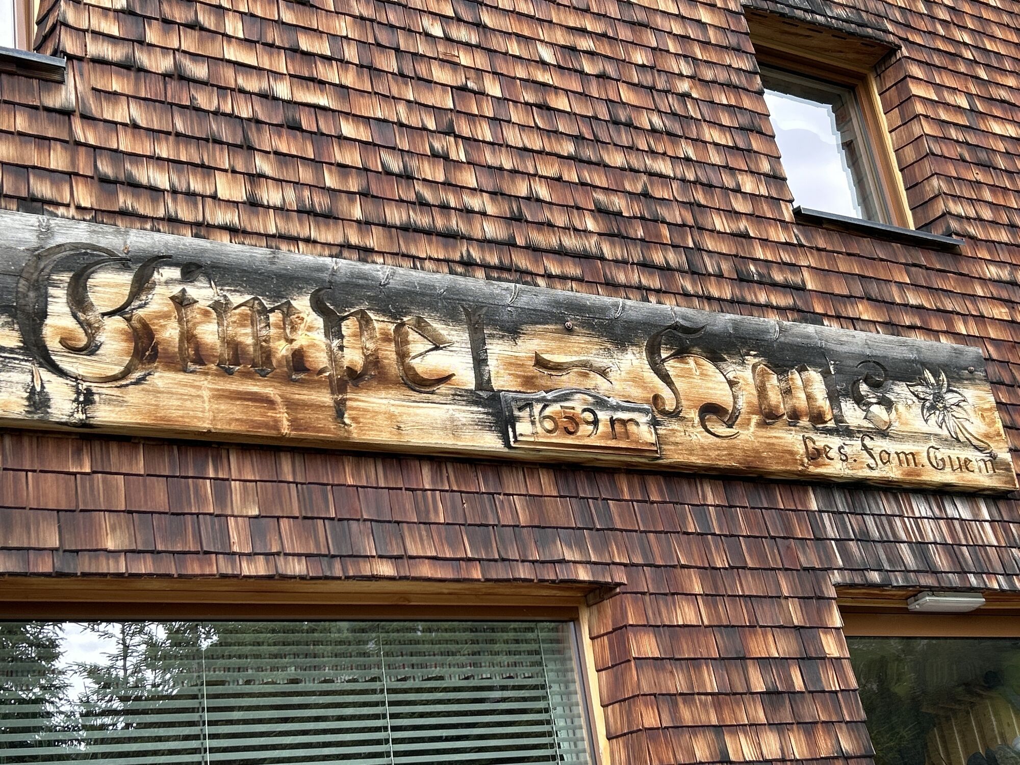
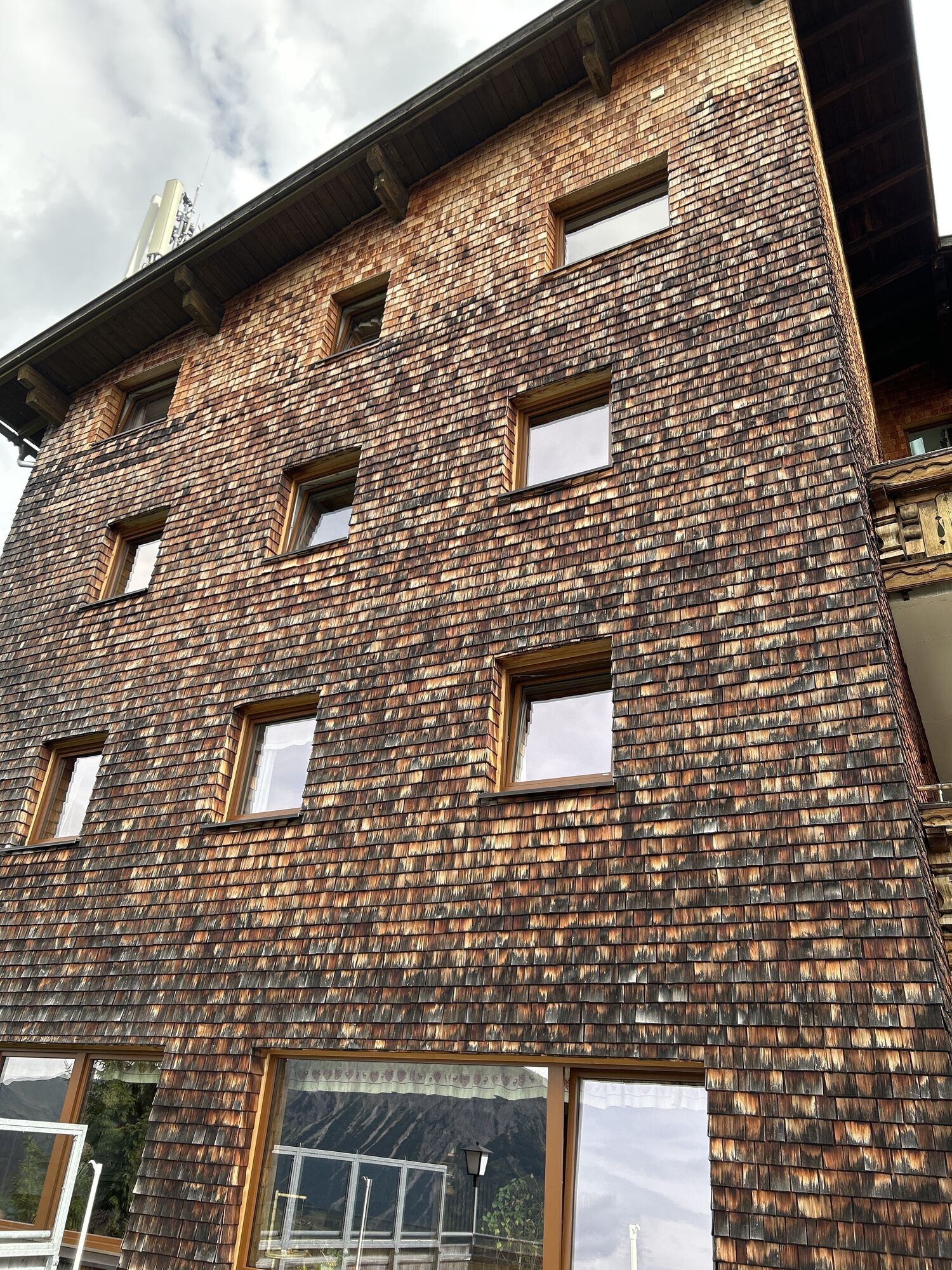
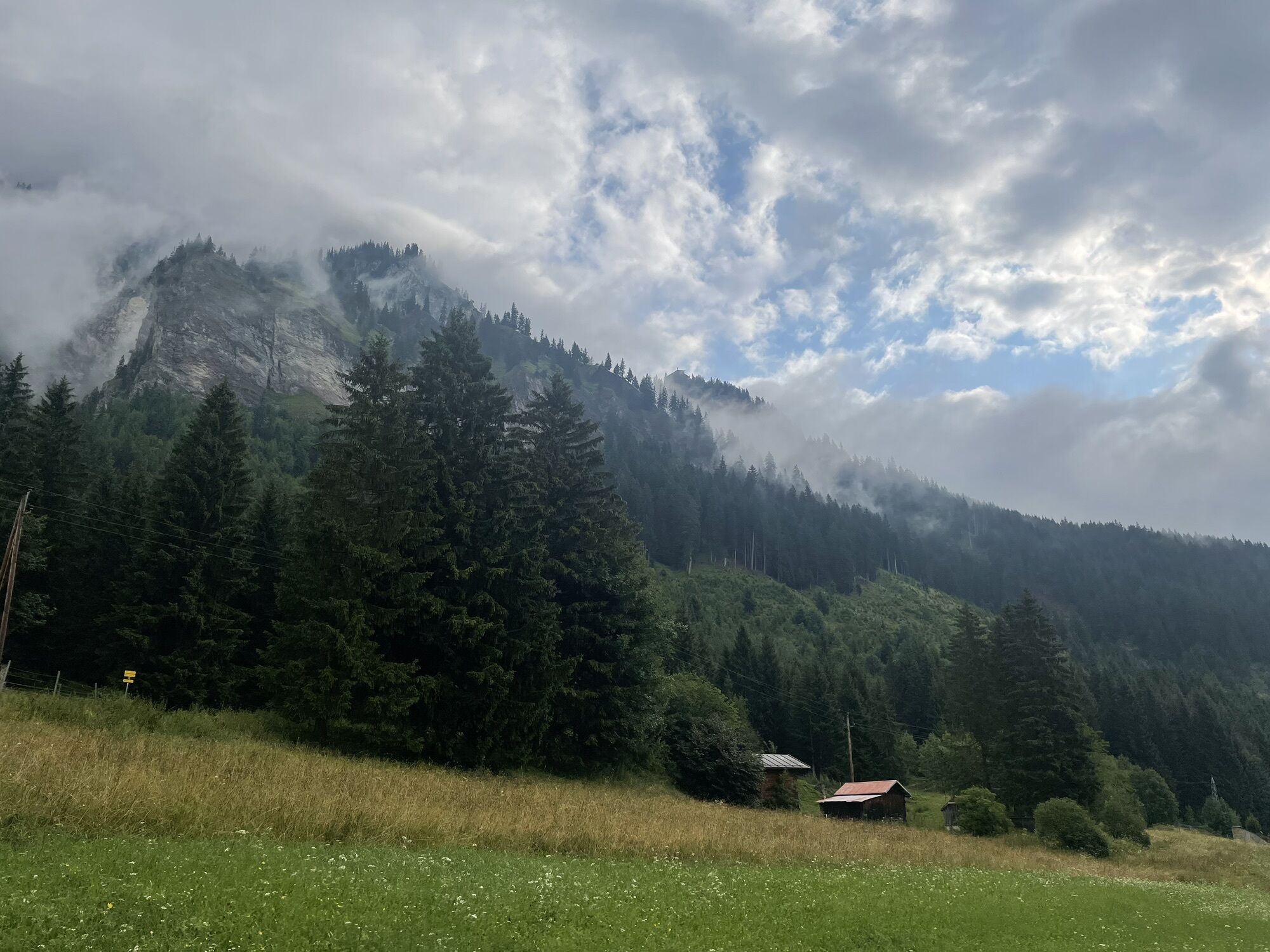
The access is via the Gimpelhaus. From there continue in the direction of Rote Flüh until you turn right after the Gimpelalpe to the Nesselwängler Scharte. Immediately before the Scharte, turn right to the foot of the Köllenspitze south face (red dot markings, at the end in the gravel field it is better to put on your helmet).
The via ferrata itself is in difficulty level D, but also has passages with A and B. There are two rest areas but no possibility to get off.
Descent: From the summit first north on climbing tracks into a channel, then descend left (west) in the channel until you reach a steep step (rope belay; C/D). Continue down in the gully until you cross a crag on the left and ascend again through a gully. Behind the edge, descend over partly steep gravel terrain (passages 1-) to the Nesselwängler Scharte (2007 m). There again on the south side and on the access path back to the valley.
Attention: The descent is alpine! Climbing spots up to 1, partly exposed and brittle. Dangerous in snowy and wet conditions (the snow lasts quite long on the north side in spring, ask the Gimpelhaus or the Tannheimer Hütte for information about the conditions). Long via ferrata tour which should only be done in stable weather.
Da
Da
Complete via ferrata equipment (via ferrata set, harness, and helmet) is highly recommended even for experienced climbers!
Personal mountaineering equipment must be safe, functional, and meet the respective technical standards. Every hiker is advised to inform themselves about the planned routes in alpine specialist literature or locally.
General valid and usual behavioral rules!
It should be noted that mountaineering carries an increased risk of accidents and injuries. Despite careful route planning, a basic risk always remains. Preparing for the route through endurance training, appropriate technical training and education, as well as personal caution, reduces accident risks and dangers. But never forget that weather in the mountains can change very quickly. Stay on the marked hiking trails.
On the A7 motorway, take the "Oy-Mittelberg" exit onto the B310 towards Wertach and then Oberjoch. Follow the signs for "Tannheimer Tal" B199 and the Nesselwängle exit for the Gimpelhaus car park.
From the Tyrol side via Reutte on the B198 towards Lechtal to Weißenbach, across the Gaichtpass along the B199, Nesselwängle to the Gimpelhaus car park exit.
By train to Sonthofen, Pfronten/Ried, or Reutte, then continue by bus to Nesselwängle - stop Abzw. Krinnenalplift.
Gimpelhaus car park in Nesselwängle - subject to charges
D
Ascent
The starting point is Nesselwängle (Krinnenalpe car park). From there via the Gimpelhaus to the Tannheimer Hut (approx. 2 hours). From the hut, follow the marked path towards the Köllenspitze to the start of the via ferrata (approx. 45 minutes from the hut).
Descent
From the summit, the descent follows the marked normal path (partly secured with wire ropes, sections I–II) back to the Tannheimer Hut. From there, return to the valley on the known ascent path. Total descent time approx. 2.5–3 hours.
Camere web ale turului
-
Neunerköpfle Mittelstation
-
Haldensee - Neunerköpfle
-
Wängle - Panoramahotel Talhof
-
Grän - Almdorf Tirol
-
Neunerköpfle Mittelstation
-
Neunerköpfle Mittelstation
-
Neunerköpfle Mittelstation
-
Neunerköpfle Mittelstation
-
Neunerköpfle Mittelstation
-
Neunerköpfle Mittelstation
-
Neunerköpfle Mittelstation
-
Panoramarestaurant Hahnenkamm
-
Grän - Hotel Bergblick
-
Füssener Jöchle Bergstation
-
Füssener Jöchle Bergstation
-
Füssener Jöchle Bergstation
-
Füssener Jöchle Bergstation
-
Füssener Jöchle Bergstation
-
Füssener Jöchle Bergstation
-
Füssener Jöchle Bergstation
-
Haller
-
Haller
-
Haller
-
Haller
-
Haller
Tururi populare în vecinătate
-
4,2
Three-lake route (awarded the Tyrolean Hiking Trail Seal of Quality)
mediuExcursie 14,8 km -
4,2
Höllschlucht hike » Water & Forest
mediuExcursie 7,38 km -
4,6
3-Seen Rundtour Vilsalpsee / Schrecksee / Traualpsee
mediuExcursie 17,1 km -
4,8
3-Gipfel-Tour
mediuExcursie 11,2 km -
4,5
Mountain hike to the Aggenstein
greleExcursie 15,3 km -
4,5
Circular hike Dreh- and Rohrkopfhütte
luminăExcursie 8,76 km -
4,0
De la Tannheim la Sulzspitze
mediuExcursie 15,6 km -
4,8
Around Weißensee
luminăExcursie 6,12 km -
3,6
Rundwanderung Plansee
mediuExcursie 9,80 km -
5,0
Hiking tour to Breitenberg
greleExcursie 15,6 km

Drumeții și urmărire


Nu ratați ofertele și inspirația pentru următoarea dvs. vacanță
Adresa dvs. de e-mail a fost adăugat la lista de corespondență.