


Unterberg - Wastlalm circular route


Fotografii ale utilizatorilor noștri
-
 © Daniela HacklCreat pe 29.09.2025
 -
 © Tamás Kiss (Mr. Mojo)Creat pe 13.09.2025
 -
 © Zoran DujakovicCreat pe 09.11.2024
 -
 © Zoran DujakovicCreat pe 09.11.2024
 -
 © Zoran DujakovicCreat pe 09.11.2024
 -

 © StefanCreat pe 19.07.2024
 -
 © StefanCreat pe 19.07.2024
 -
 © StefanCreat pe 19.07.2024
 -
 © StefanCreat pe 19.07.2024
 -
 © feinschmeckerontourCreat pe 05.07.2024
 -
 © feinschmeckerontourCreat pe 05.07.2024
 -
 © feinschmeckerontourCreat pe 05.07.2024
 -
 © Zoran DujakovicCreat pe 03.05.2025
 -

 © Marina ICreat pe 22.03.2025
 -
 © Zoran DujakovicCreat pe 09.11.2024
 -

 © Matej Mikus 1Creat pe 01.06.2024


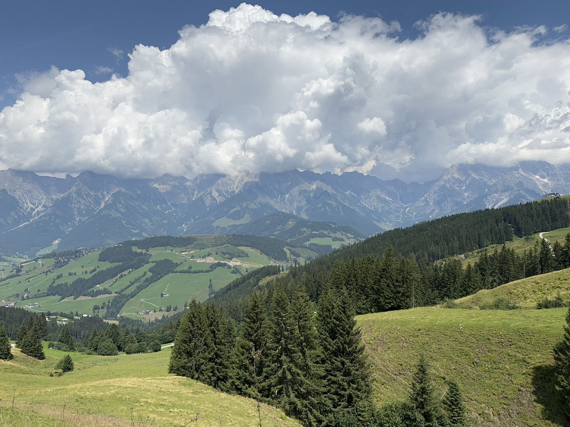
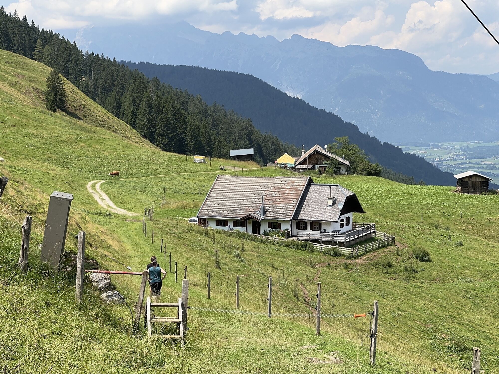

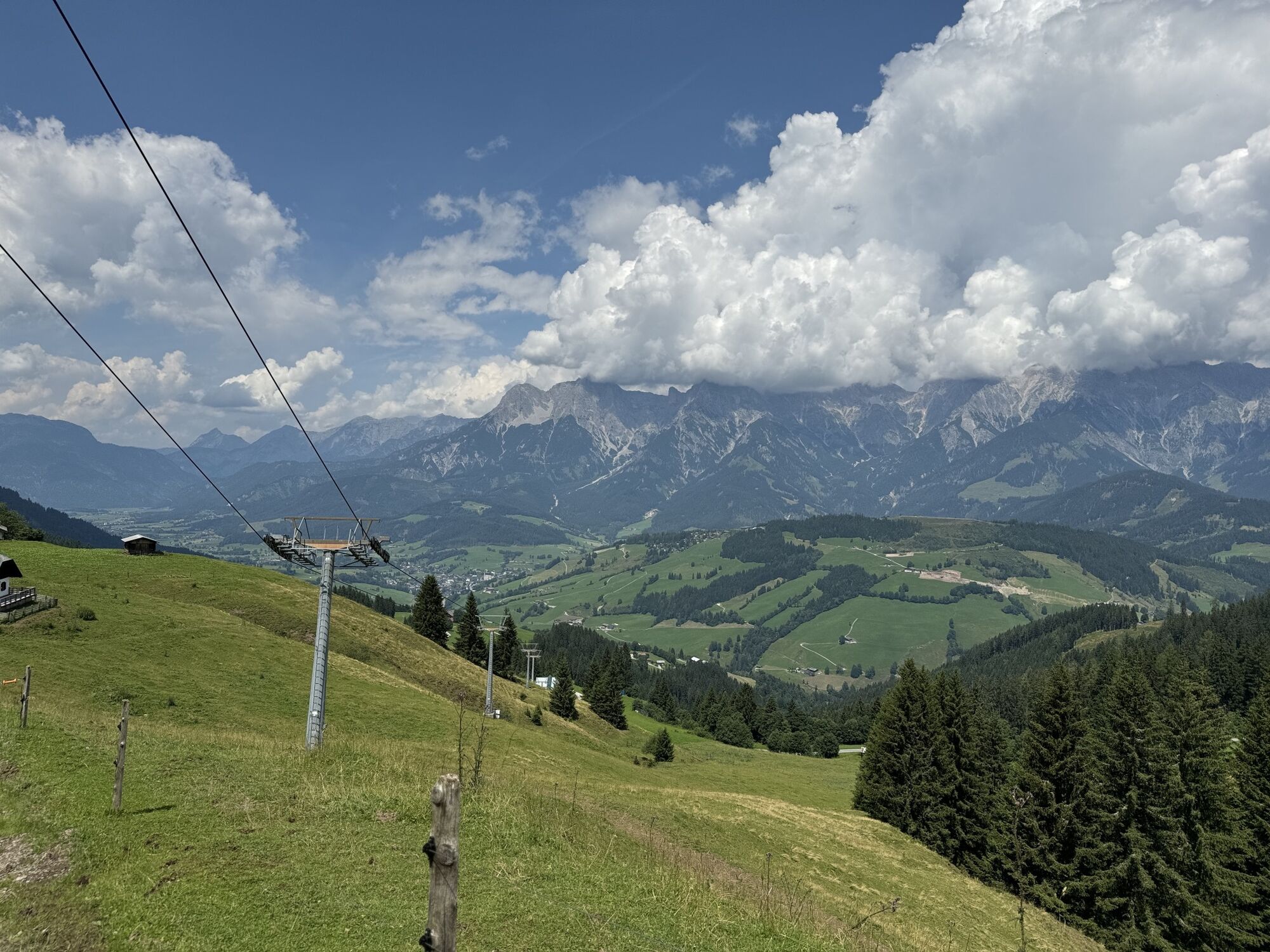

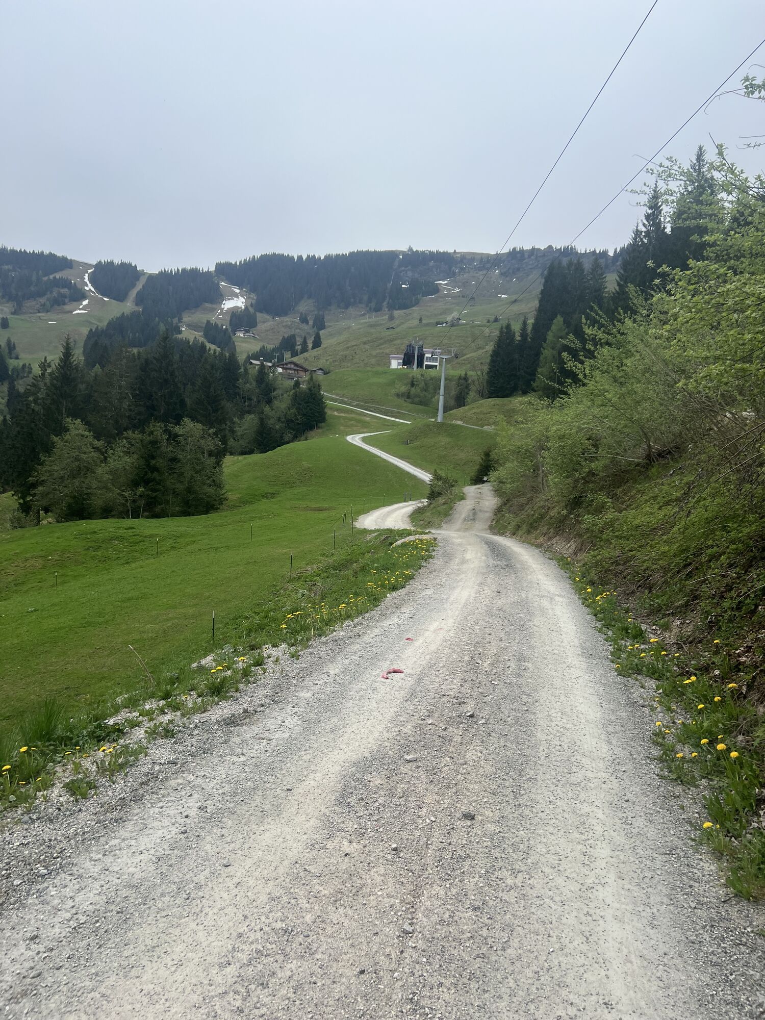
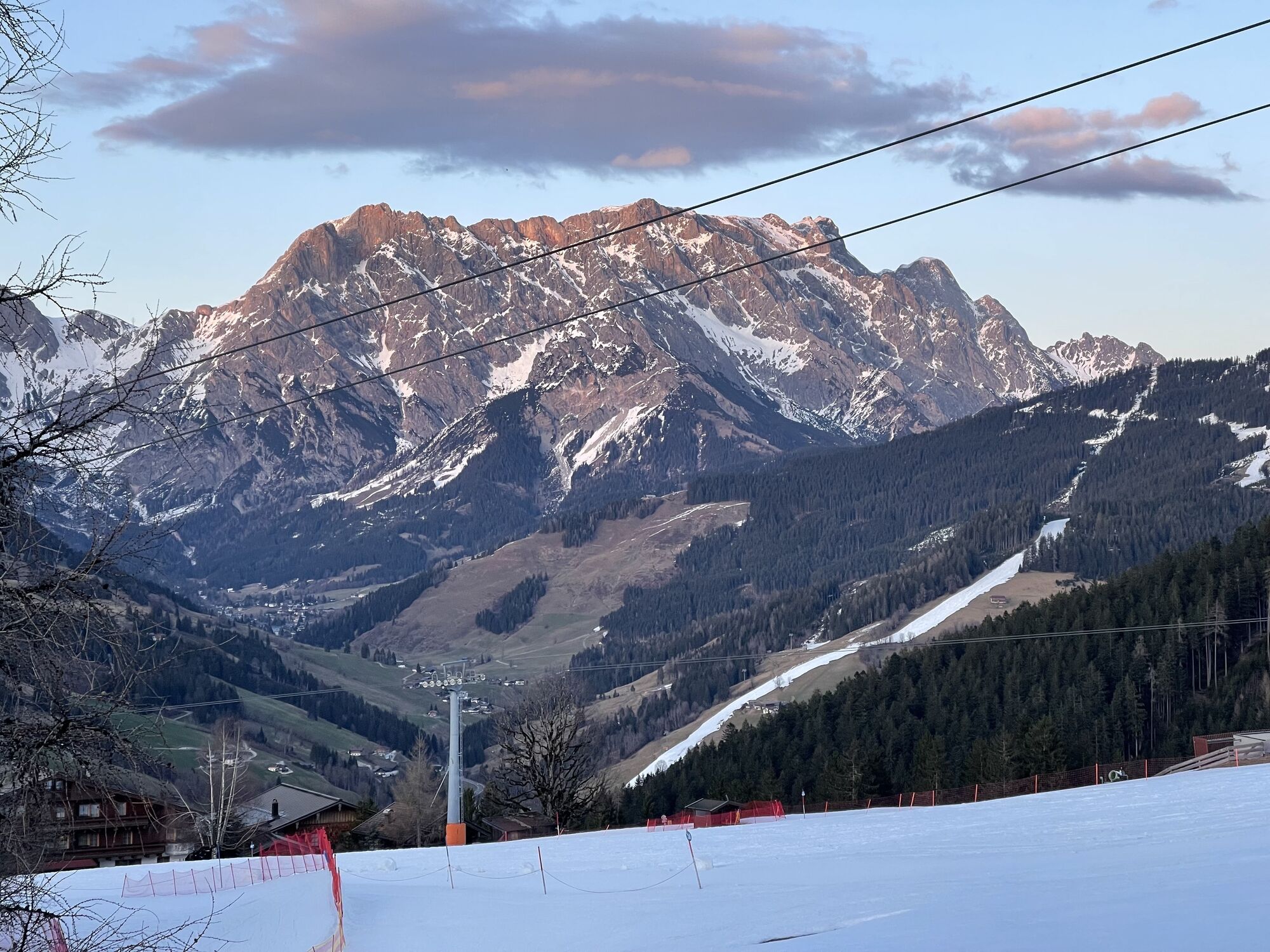

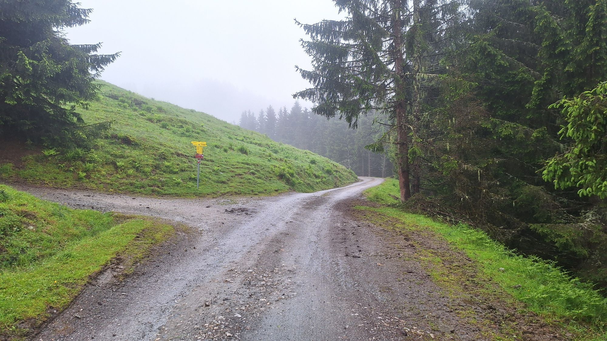
Beautiful hike from the district of Unterberg via the mountain inn Christernreith (road - initially asphalt) over Thoraualm and onward to Wastlalm.


From Unterberg, follow the road (initially asphalt) No. 11 and No. 28 to the mountain inn Christernreith. From there continue via path No. 28 to Thoraualm.
Above this, path No. 28 and No. 28a lead to Wastlalm and then paths No. 28a and No. 445 take you back to Unterberg.
Da
Sturdy, ankle-high footwear
Trekking poles
Headwear
Sun protection
Sunglasses
Rain protection
Drinks and a small snack
Necessary medication
First aid kit
Hiking map
Self-assessment: Check your physical fitness before every mountain hike and realistically assess your strength and that of your companions – especially your children! Surefootedness and a head for heights are often very important!
Planning and preparation: Plan every intended mountain hike carefully in advance. Hiking maps and guides as well as information from alpine clubs and locals such as mountain guides and hut hosts can be helpful.
Equipment: In the mountains, you need suitable equipment and clothing, especially sturdy, high shoes with grippy soles. Weather and cold protection are essential, as the weather can change quickly.
Weather forecasts: Check current weather conditions at: zamg.at or www.uwz.at.
Togetherness: Observe the 10 rules for proper treatment of grazing animals and do not leave any waste in nature!
Do not dislodge stones: Do not dislodge stones, as this can seriously endanger other hikers. Areas marked with a risk of rockfall should be crossed as quickly as possible with attention and caution.
Turn back in time: This is no shame but a sign of wisdom. It becomes necessary when the weather changes, fog falls in, or the path is too difficult or not in good condition.
Emergency numbers: Alpine emergency: 140, International emergency: 112, Rescue: 144
Arrival from Salzburg: Take the A10 highway to the Bischofshofen exit, then on the B311 towards Bischofshofen. Follow the Hochkönig federal road/B164 to Maria Alm.
Arrival from Innsbruck/Kufstein: Take the Loferer Straße/B178 towards St. Johann in Tirol, then via the Hochkönig federal road/B164 through Saalfelden to Maria Alm.
A valid vignette is required for use of the Austrian highway and expressway network. It is also mandatory to carry a first aid kit, warning triangle, and safety vest. More info at Asfinag.
ÖBB-Scotty: Timetable information
Bus line 620: Timetable information
Hiking bus: Timetable information
Free parking available at the Aberg ski center
More information about hikes and activities in the Hochkönig region:
For detailed information about hiking maps, the opening hours of mountain lifts as well as huts and alpine pastures in summer, we recommend visiting the service center on site. There you will not only get the hiking map but also valuable tips on the best hiking routes and current conditions.
Opening hours of the mountain lifts in summer: The mountain lifts offer different opening hours during summer months, which may vary depending on weather and season. Please check the current operating times in advance.
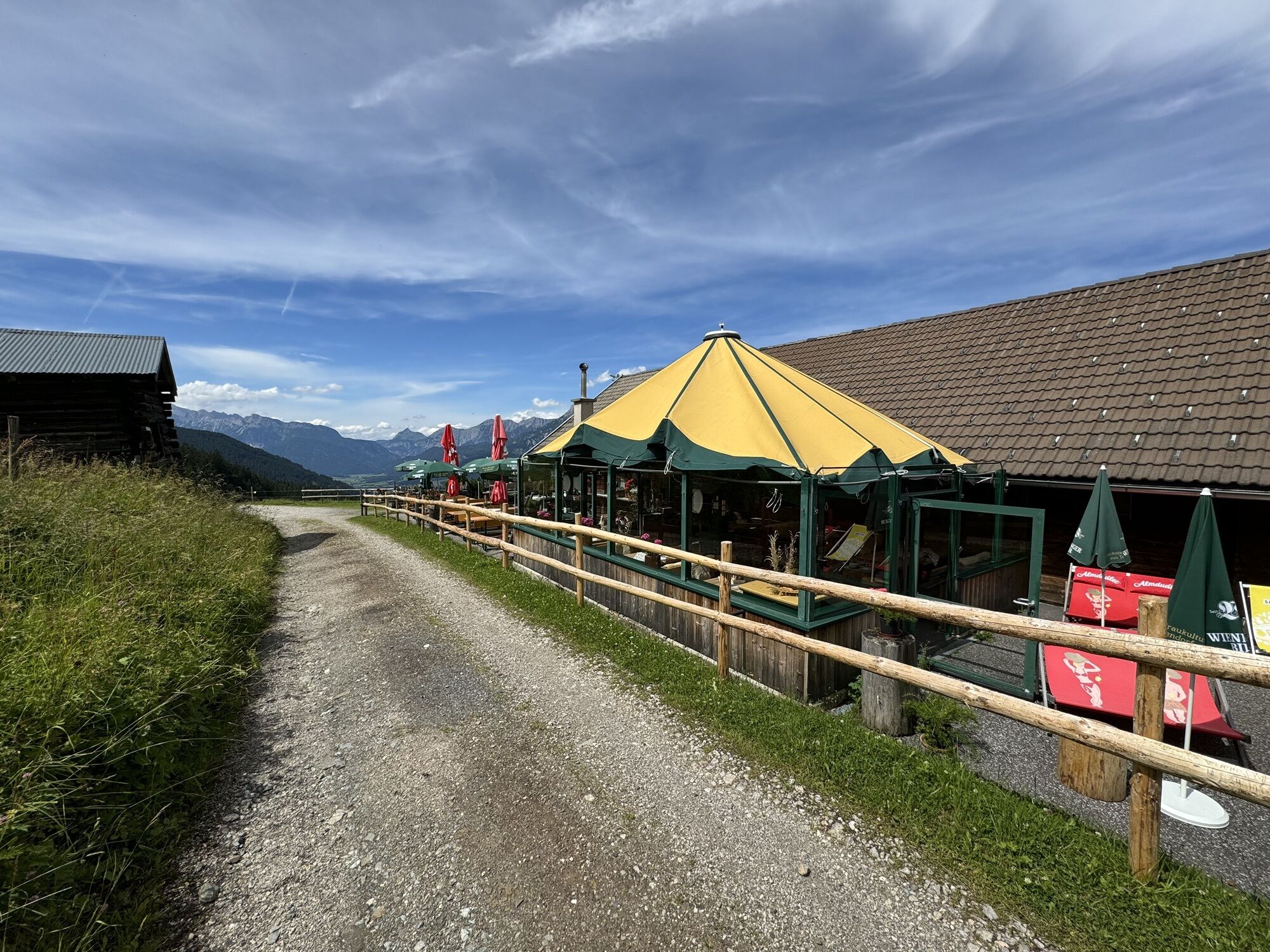
Opening hours of huts & alpine pastures in summer: The huts and alpine pastures in the region are ideal rest stops for hikers. Their opening hours can also vary depending on season and day of the week. Let the friendly hosts advise you on offers and specialties on site.
For further information, please visit our website: www.hochkoenig.at.
If you have questions or want specific information, you can contact us:
Email: region@hochkoenig.at
Phone: +43 (0)6584 20388
We look forward to helping you and wish you lots of fun exploring the beautiful Hochkönig hiking region!
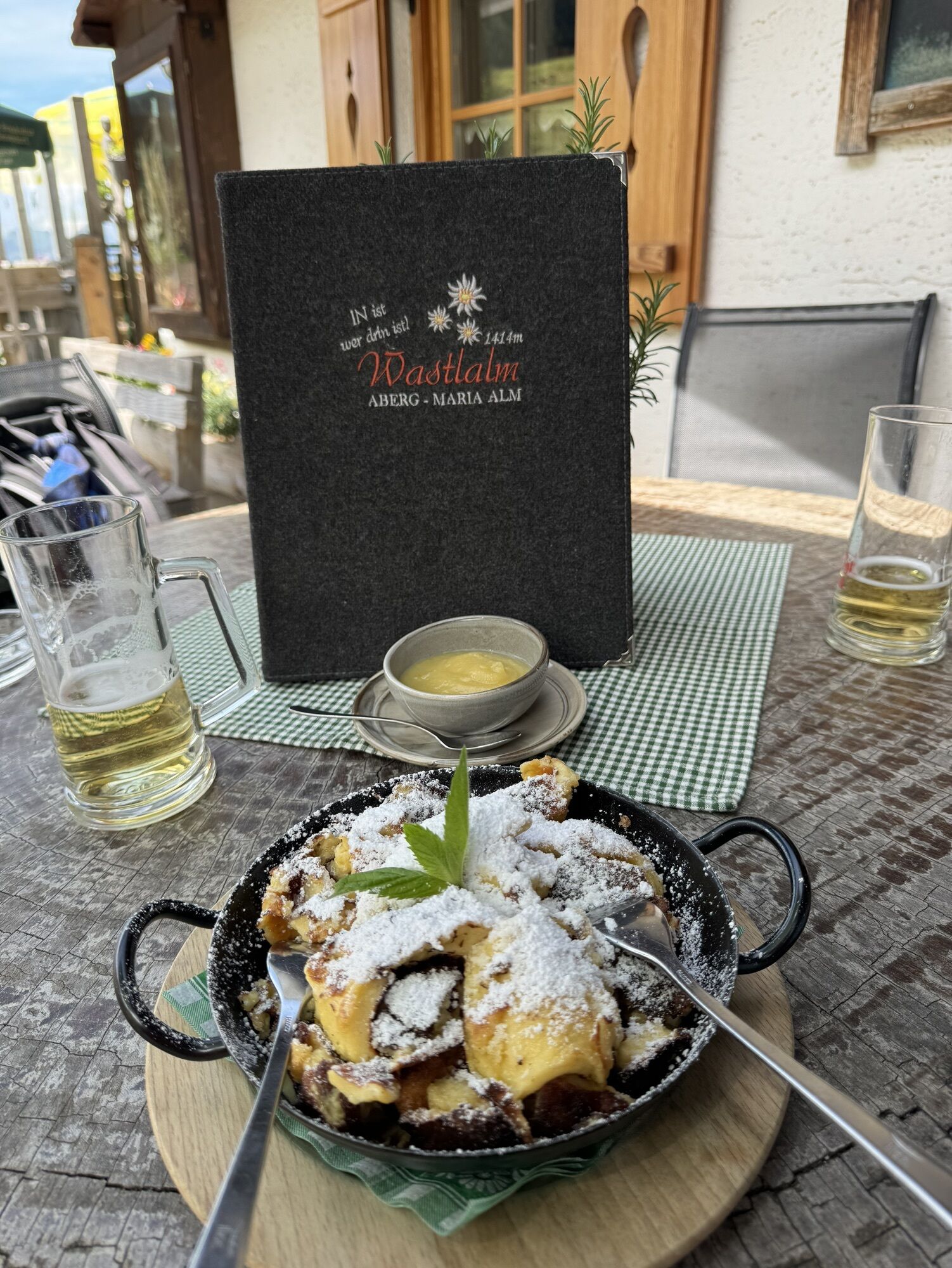
Enjoy the delicious regional specialties of our alpine pastures and huts!
Tururi populare în vecinătate
-
4,8
Summit storming route Taghaube
greleExcursie 6,25 km -
4,8
Summit stormer route Lauskopf
greleExcursie 8,16 km -
4,7
About the "Four Huts circular route" to Windraucheggalm
mediuExcursie 10,1 km -
4,4
Riemannhaus
greleExcursie 3,69 km -
3,9
Mühlbacher Höhenweg
mediuExcursie 11,2 km -
4,3
Peter-Wiechenthaler Hut
mediuExcursie 4,32 km -
3,0
Alpine hike to Erichhütte
luminăExcursie 4,02 km -
4,3
Bruck: 732+736+730 | Drei Brüder
greleExcursie 16,1 km -
3,9
Persailhorn South via ferrata
mediuVia ferrata 6,83 km -
4,9
Breithorn
mediuExcursie 10,0 km
Drumeții și urmărire


Nu ratați ofertele și inspirația pentru următoarea dvs. vacanță
Adresa dvs. de e-mail a fost adăugat la lista de corespondență.