


Road bike route: Klingenthal-Pöhl-Mylau-Schönheide


Fotografii ale utilizatorilor noștri
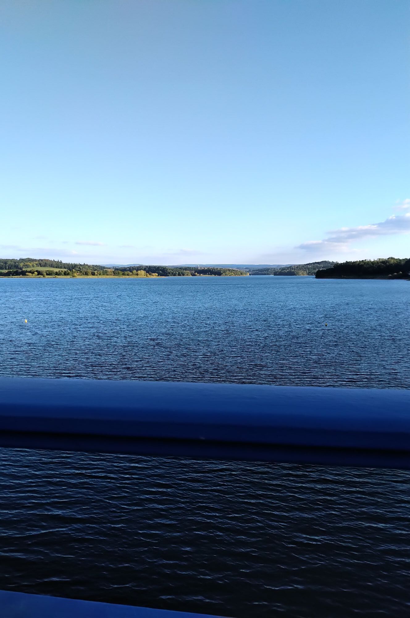
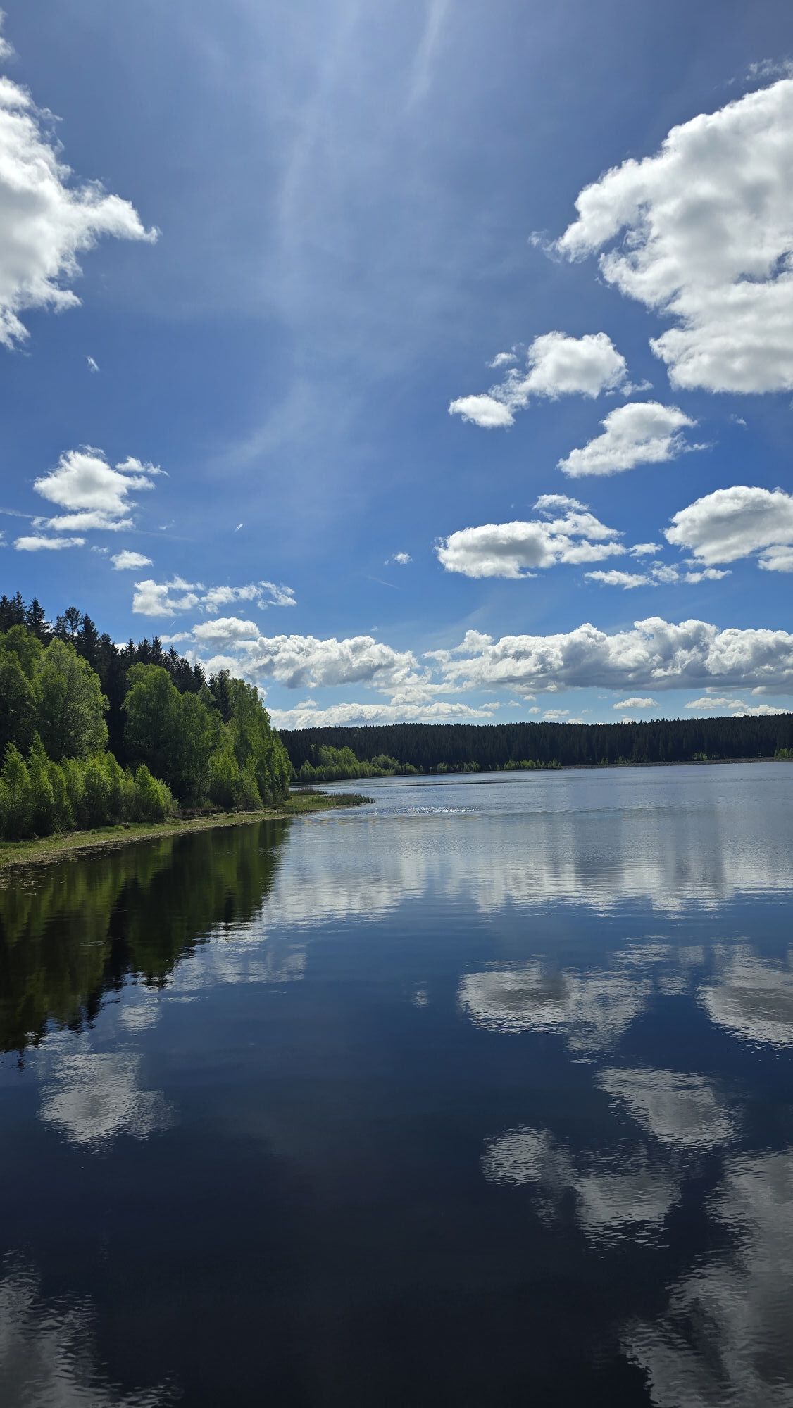
The route leads from Klingenthal past the Pöhl dam to the Göltzschtal Bridge and back via Auerbach and the space town Morgenröthe-Rautenkranz. Besides the impressive landscapes and tourist highlights,...
The route leads from Klingenthal past the Pöhl dam to the Göltzschtal Bridge and back via Auerbach and the space town Morgenröthe-Rautenkranz. Besides the impressive landscapes and tourist highlights, both climbing sections and long distances can be experienced on this route.

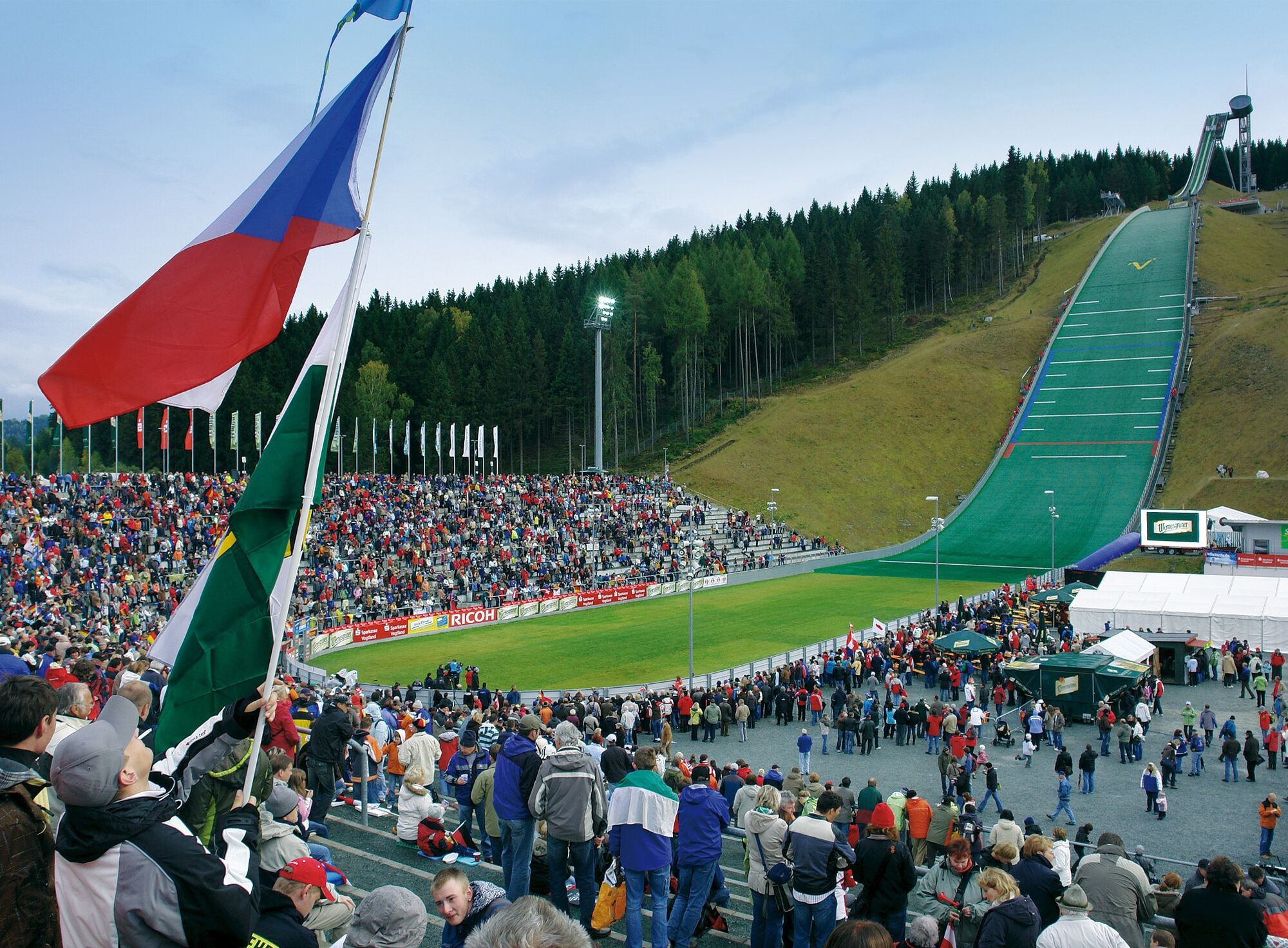
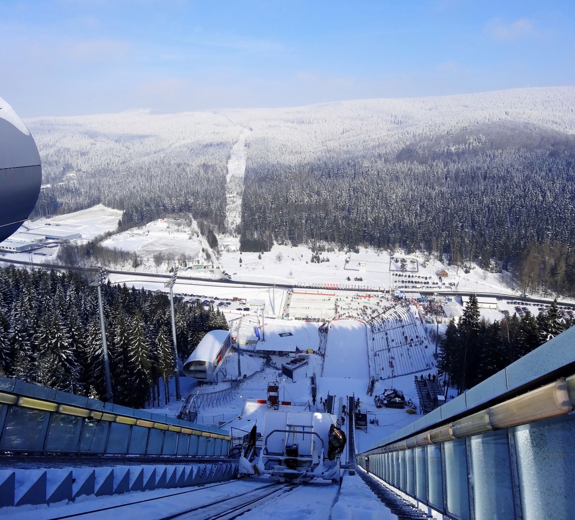
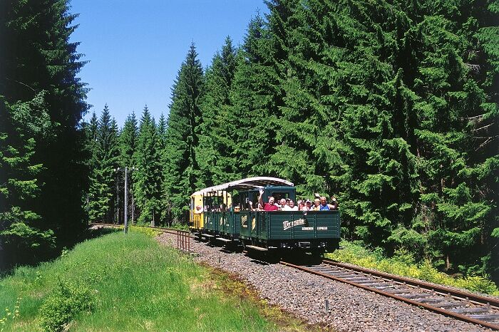
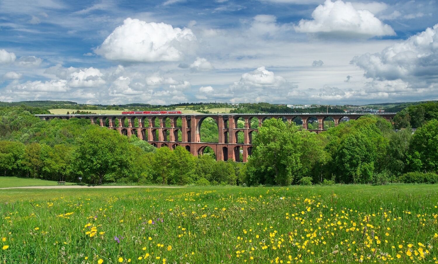
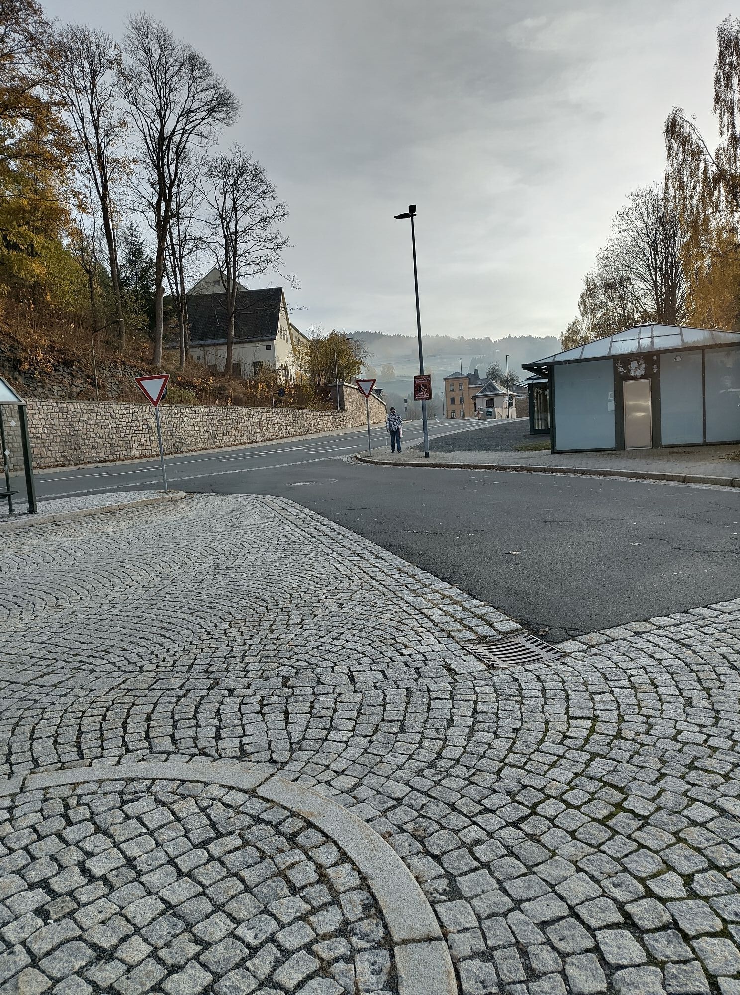
We start at the train station in Klingenthal heading towards Muldenberg. Passing the Vogtland ski jump, we reach Muldenberg after a climbing section. Here, we continue in the direction of Grünbach and then turn left towards Neudorf onto smaller roads. Through Werda, Kottengrün, and Lottengrün, we reach Theuma. Shortly after the town, we cross the B169 towards Neuensalz and then leave the B169 again heading towards Voigtsgrün and on to Möschwitz. We pass the Gunzenberg campsite and cross the dam to Neudörfel and Netzschkau. If interested, you can take a small detour to the Göltzschtal Bridge in Mylau. In Mylau, we turn towards Mühlwand and Weißensand to Lengenfeld. Just before reaching Lengenfeld, we take the right junction to Treuen and continue via Schreiersgrün towards Auerbach. Through Auerbach, we take the junction to Grünheide and further over smaller side roads towards Morgenröthe-Rautenkranz, Muldenhammer, and Muldenberg back to Klingenthal.
Da
Da
Professional equipment highly recommended.
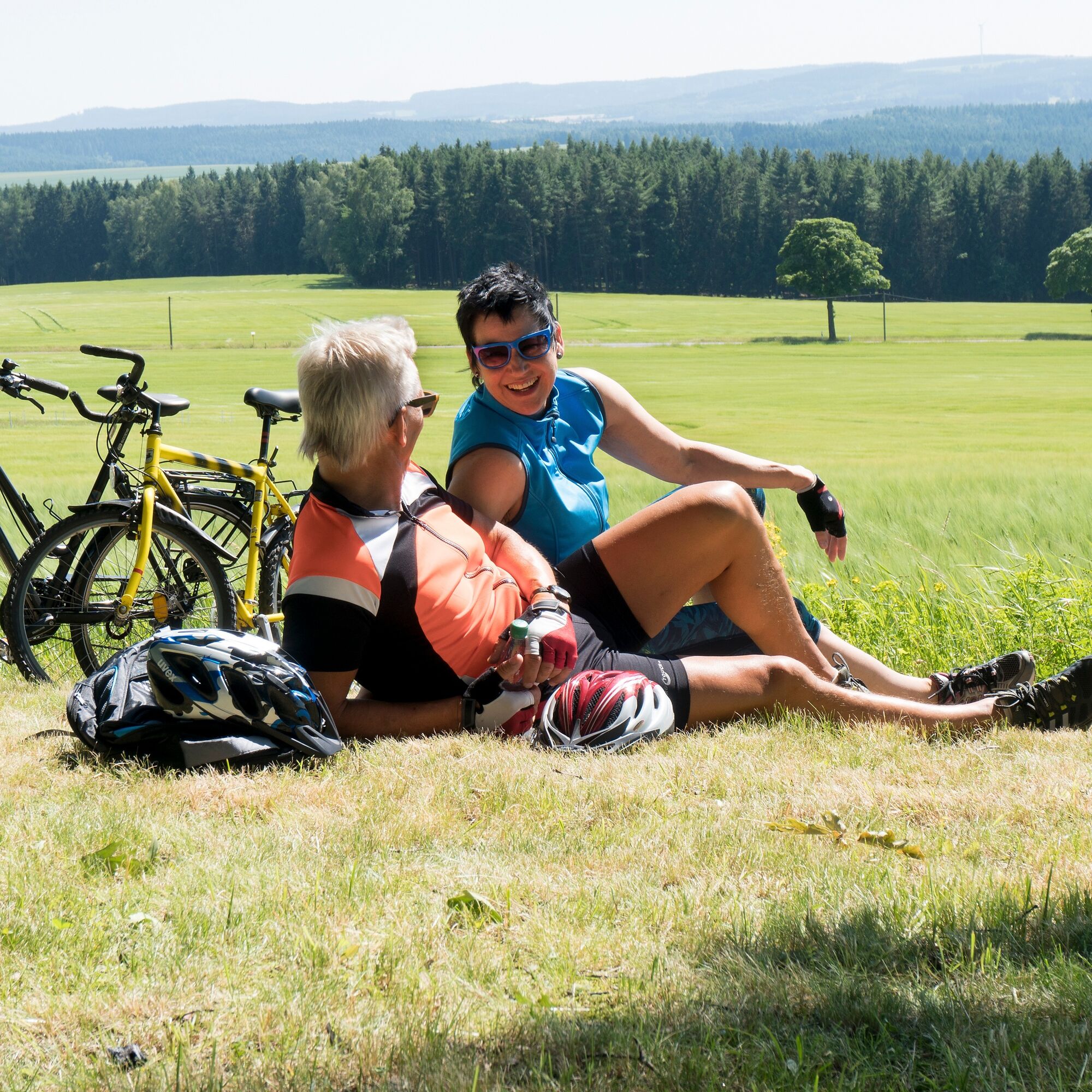
The road bike route has been tested with road cyclists. However, personal fitness must absolutely be considered and self-critically assessed by the cyclist.
Please pay attention to your safety as you are on public roads!
You can reach Klingenthal via the A72 (exit Plauen South) and the B92 / B283.
Klingenthal train station (entry is also possible in Reichenbach or Muldenberg)
Public parking is available in the area of the train station.
This route can also be done as a climb starting from Reichenbach, as this is the lowest point at 299 meters elevation. Normally, the athlete first rides a short climb, then a long descent, followed by another long climb, and at the end another short descent to cool down.
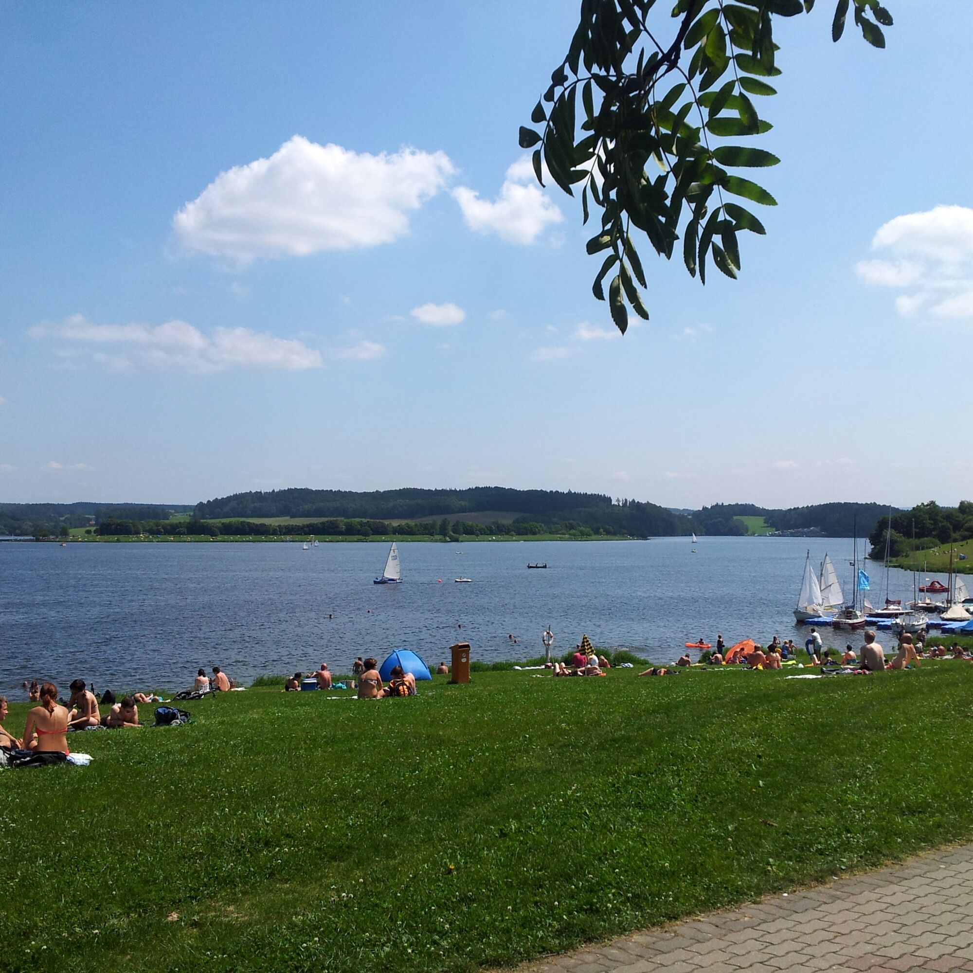
Swimming in the Pöhl, counting stones at the Göltzschtal Bridge, and lifting off at the space exhibition - lots of fun!
Tururi populare în vecinătate
-
3,5
Talsperrenrundweg "Talsperre Pöhl"
mediuExcursie 18,2 km -
Rock Path 1 - In the sign of the Löwenkopf - rocks and history
greleExcursie 15,4 km -
Talsperre Pöhl-Triebtal-Elstertalbrücke
luminăExcursie 8,76 km -
5,0
Muldenberg Reservoir Circular Route
mediuExcursie 6,76 km -
Rock path 2 - On the trail of water - Rafting and hydropower
greleTraseu tematic 18,6 km -
5,0
Felsenweg 4 - fascination of stones - topaz gemstone route
greleTraseu tematic 11,8 km -
5,0
Felsenweg 3b - Fabulous views in and out
mediuTraseu tematic 17,9 km -
5,0
ElsterWasserWeg - Elster Hiking Trail
mediuExcursie 11,2 km -
Durchs Zwotaer Land 3
greleExcursie 13,6 km -
3,0
Euregio Egrensis cycle route
grelePistă pentru biciclete pe distanțe lungi 237,8 km

Drumeții și urmărire


Nu ratați ofertele și inspirația pentru următoarea dvs. vacanță
Adresa dvs. de e-mail a fost adăugat la lista de corespondență.