


9th Hinkelstein Hiking Marathon/Trail on 30.03.2025 - Otterberg


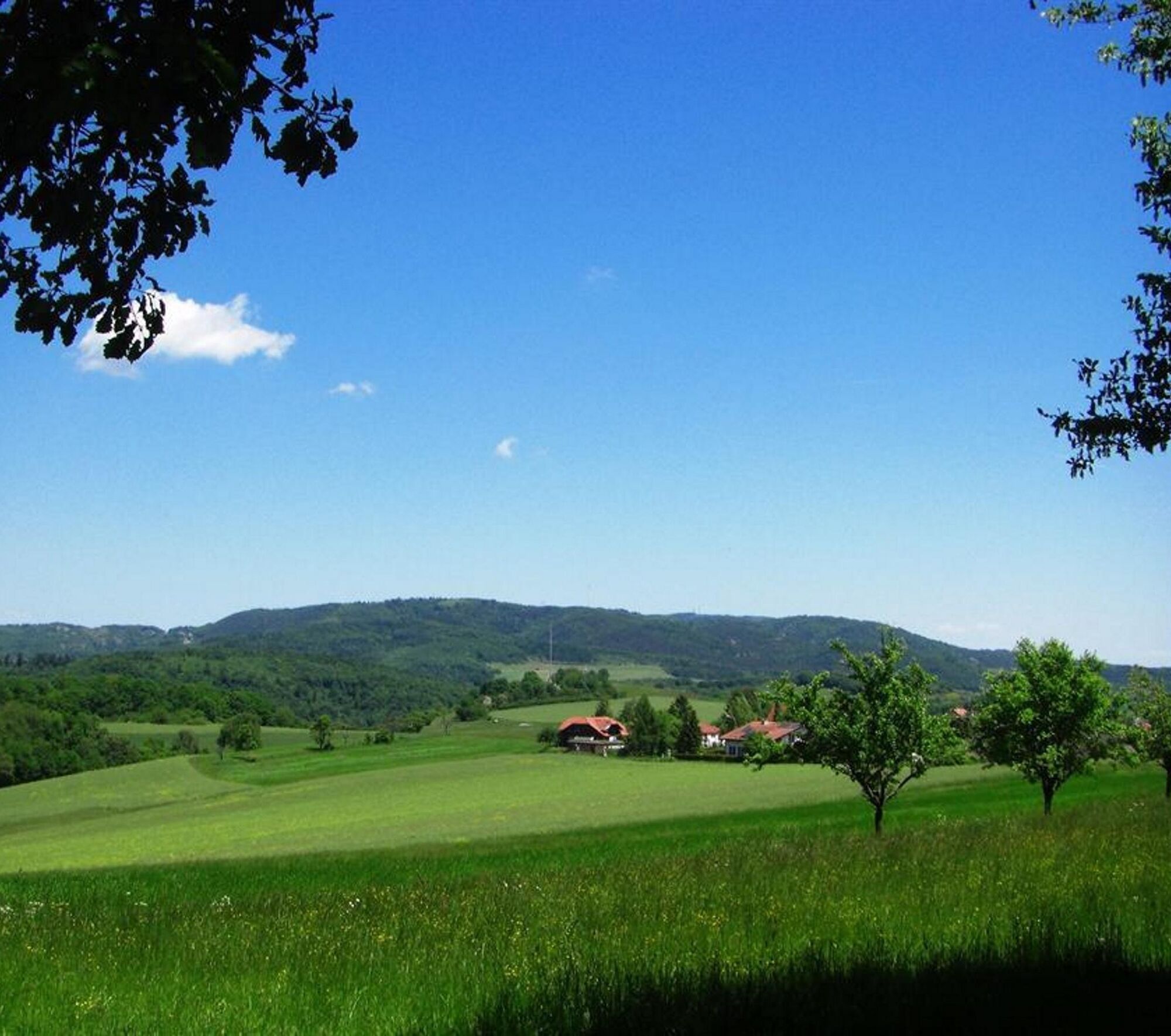
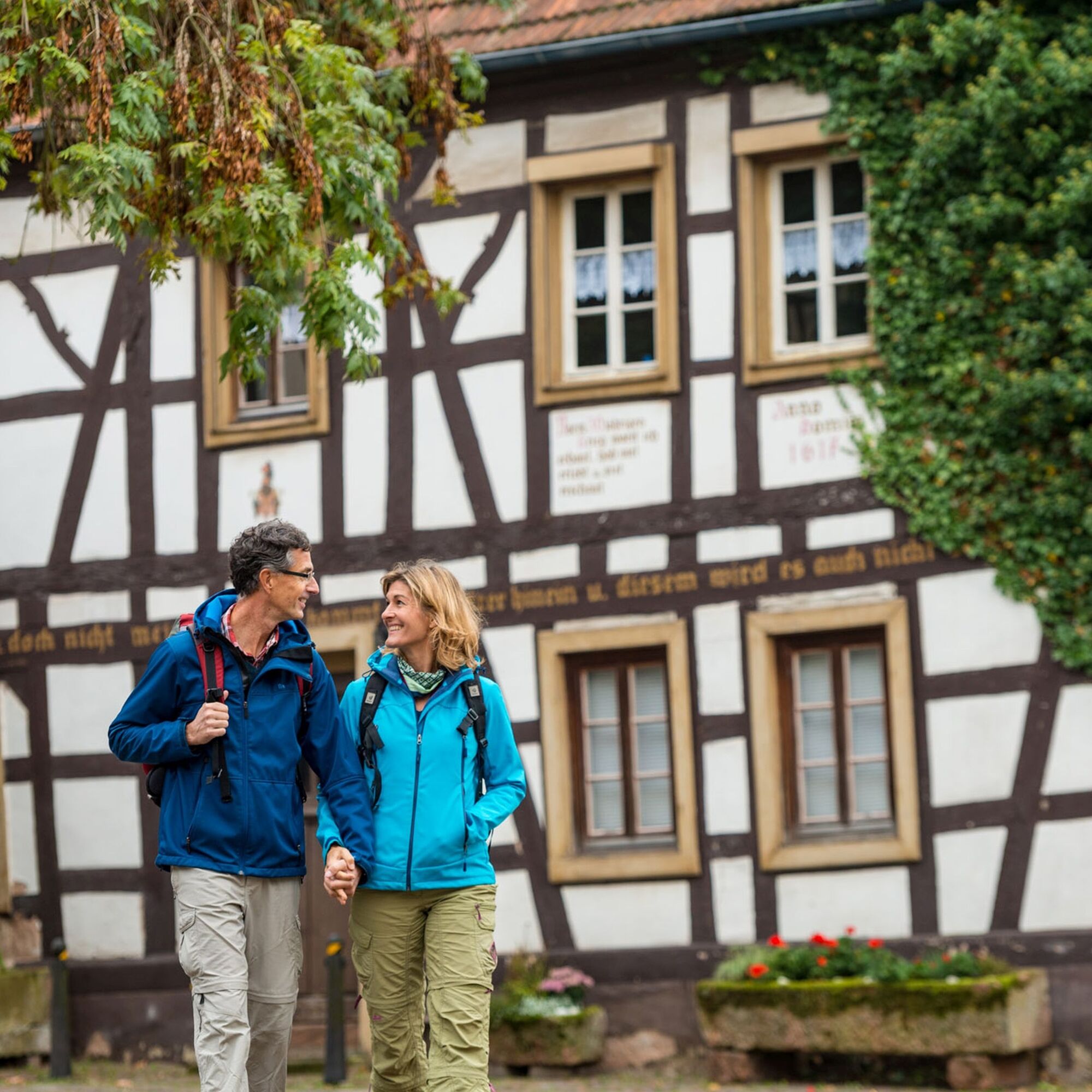
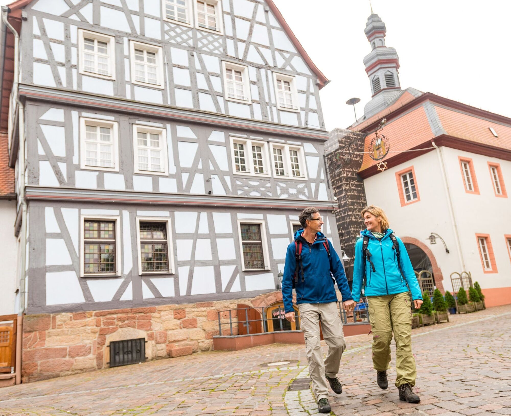
The Hinkelstein trail leads through pristine nature, where you can enjoy the silence and let your soul relax.
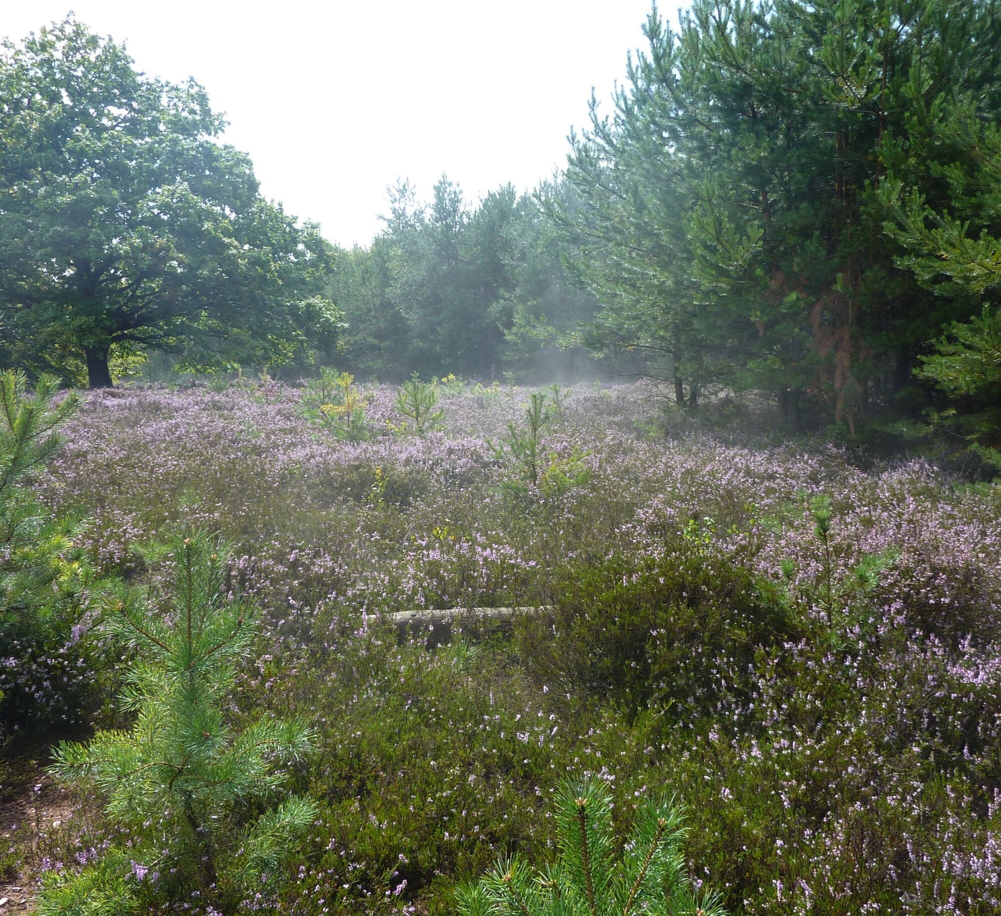
Excellent views crown the route.
In Otterberg and Winnweiler there are opportunities to stop...
The Hinkelstein trail leads through pristine nature, where you can enjoy the silence and let your soul relax.
Excellent views crown the route.
In Otterberg and Winnweiler there are opportunities to stop for a meal.
UFFBASSE! - Campaign for a considerate coexistence in nature
- Always behave cautiously, kindly, and considerately towards all those you meet on the way.
- Respect nature, do not damage plants, and always stay on the paths.
- Remember a trash bag for the way and take your waste back home.
- Always keep your dog on a leash. Other visitors and animals will thank you.
- Observe all trail closures for your own safety, including on weekends.
- Park only in designated parking areas. Leave room for rescue routes and agricultural vehicles.
- Give priority to agricultural and forestry traffic.


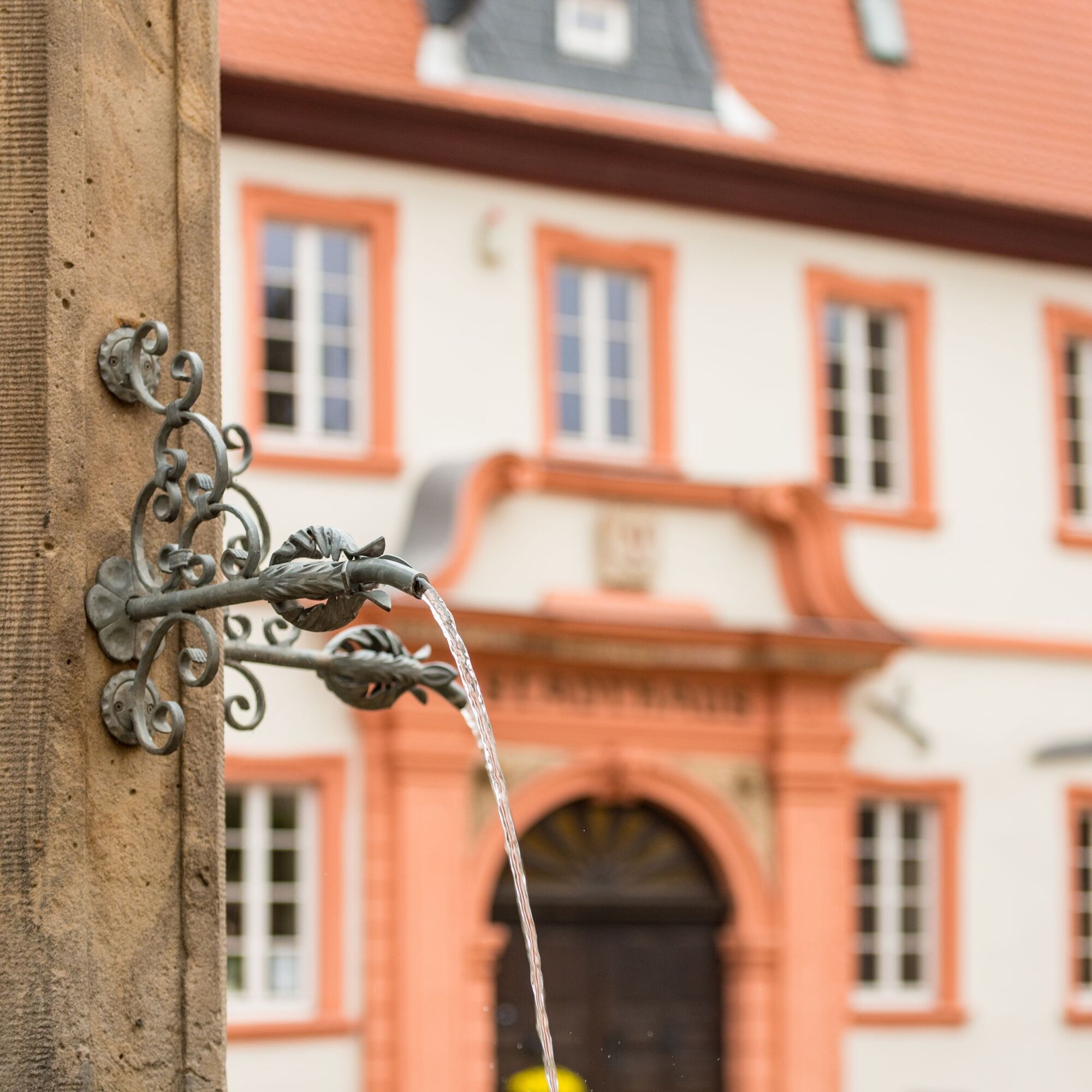


Otterberg (town hall) - Lauterstraße - Bachstade - Kneipp facility - Johann-Roos-Straße - Am Rotenberg - Pfifferlingsberg - Götzenwooger Hang - Ultes Rast - Streifelsberg - Mehlinger Heide (entrance) - edge of A63 - Hohe Rech - Baalborn - water nature trail - Perfume Museum - monument - Mönchkopf - Sonnenkopf - Lanzenbrunner Weiher - northern Sonnenkopf - Husarenbrunnen - Drehenthalerhof - Kahlenberg - Leopard sandstone - Potzbach - Leithöfe - Igelborner Hütte (Palatinate Forest Club local group Winnweiler) - Igelborner Höhe - Klapperborn - Höeringen - Bauerncafé Gebhardt - main street - Bergstraße - Franzoseneck - Hinterwald - Heidenkopf - Menhir "Hinkelstein" - Lichtenbruck - Otterberger Stück - Buchelstück - Birotshof - Kohldell - spring festival place - Drehenthalerhof - Schweissberg - Otterbach valley - Neumühle - Naturbad Otterberg - oil mill - church street - church square - Otterberg (town hall)
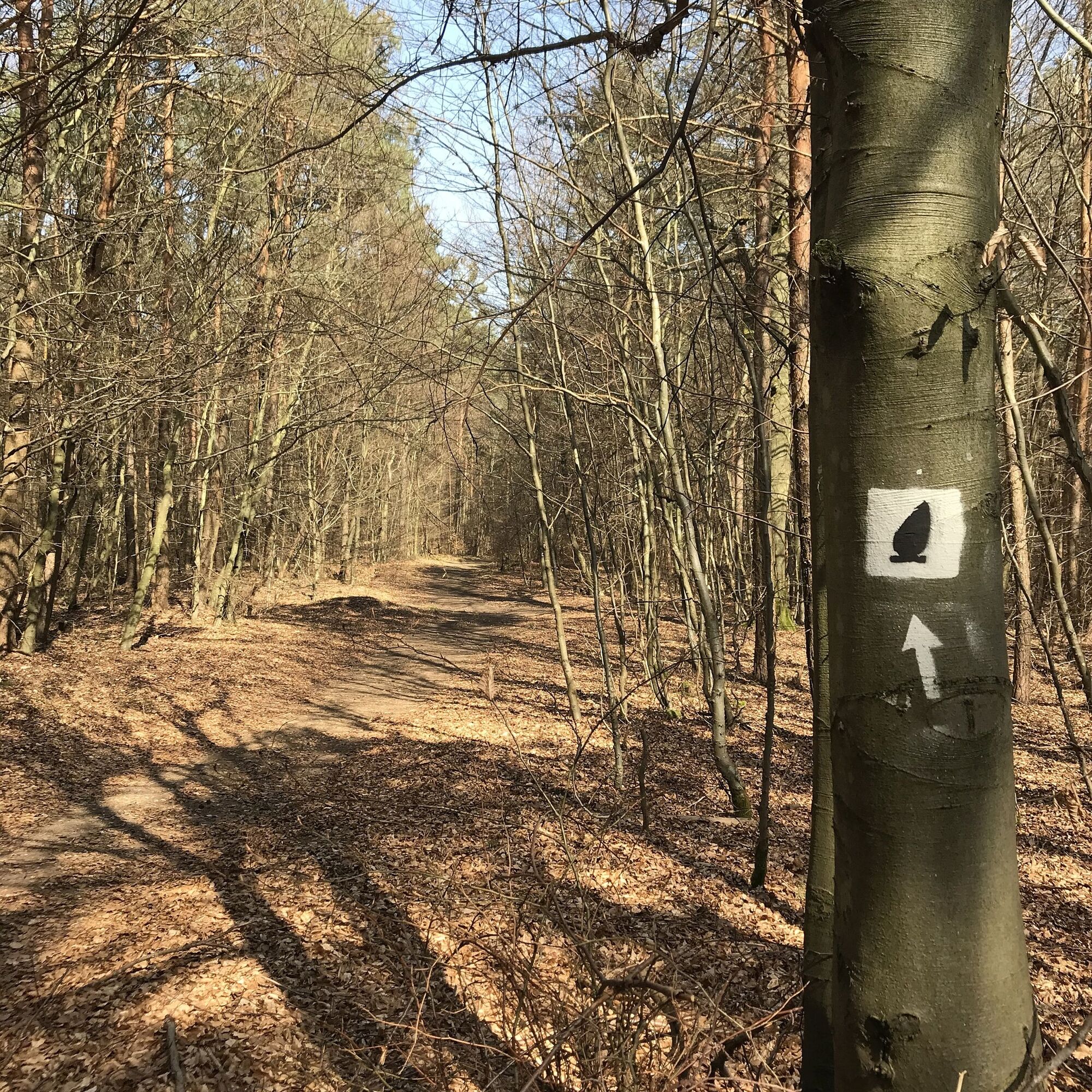
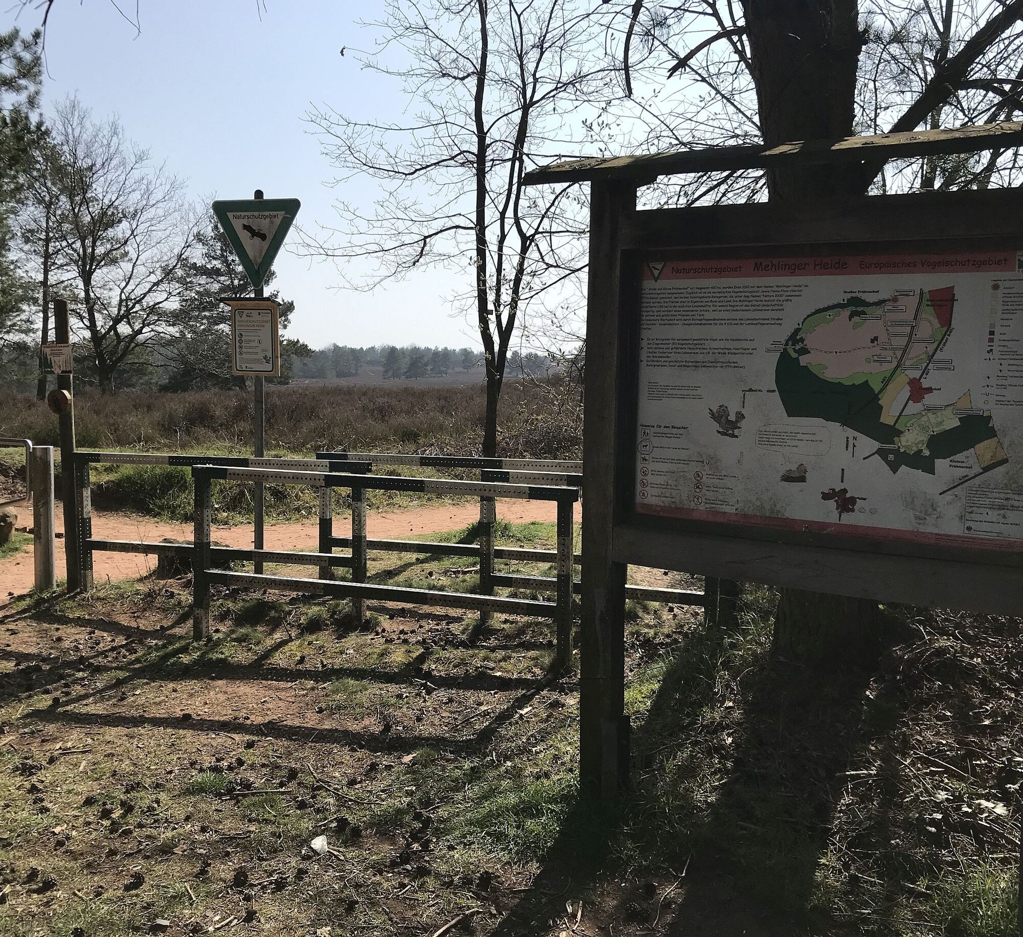
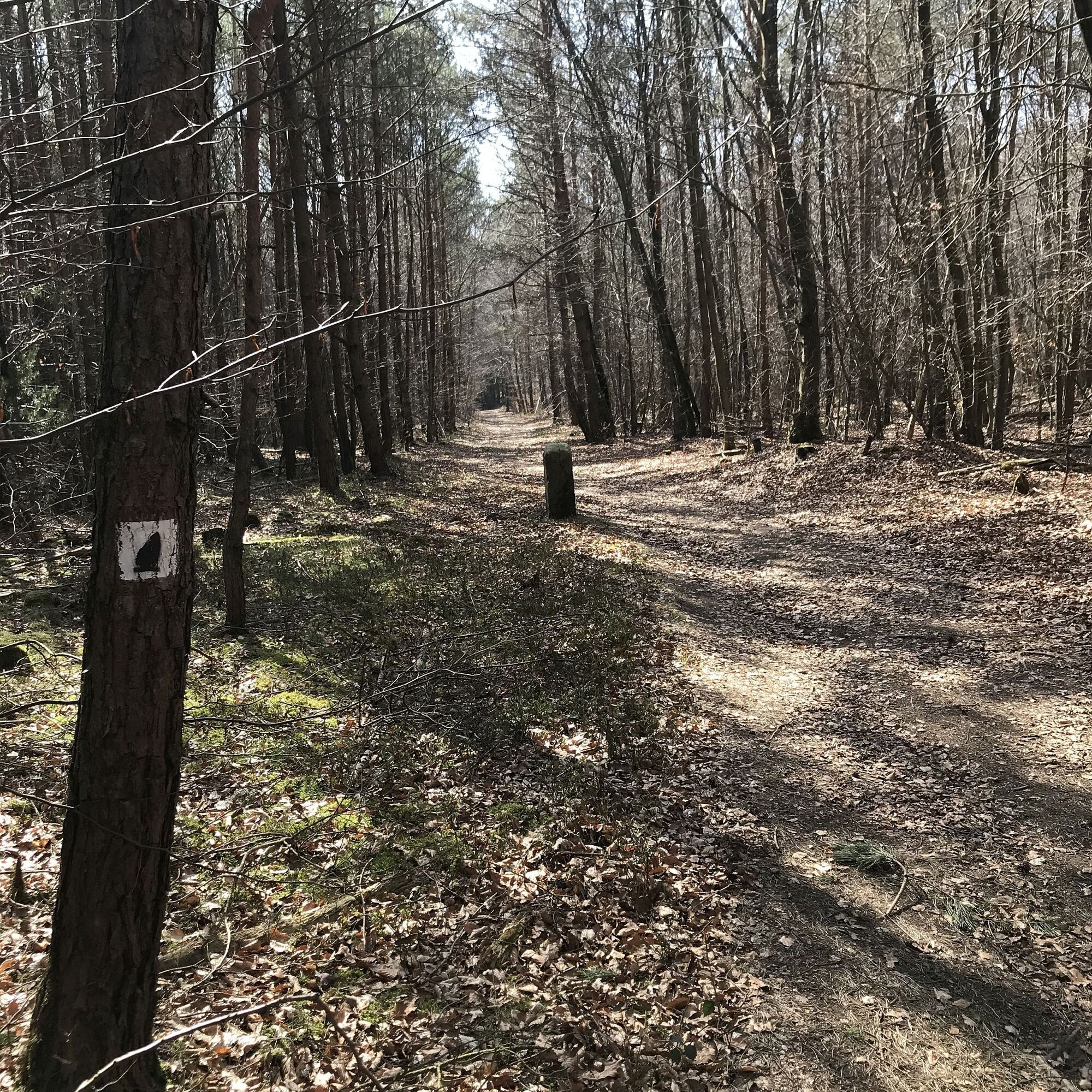
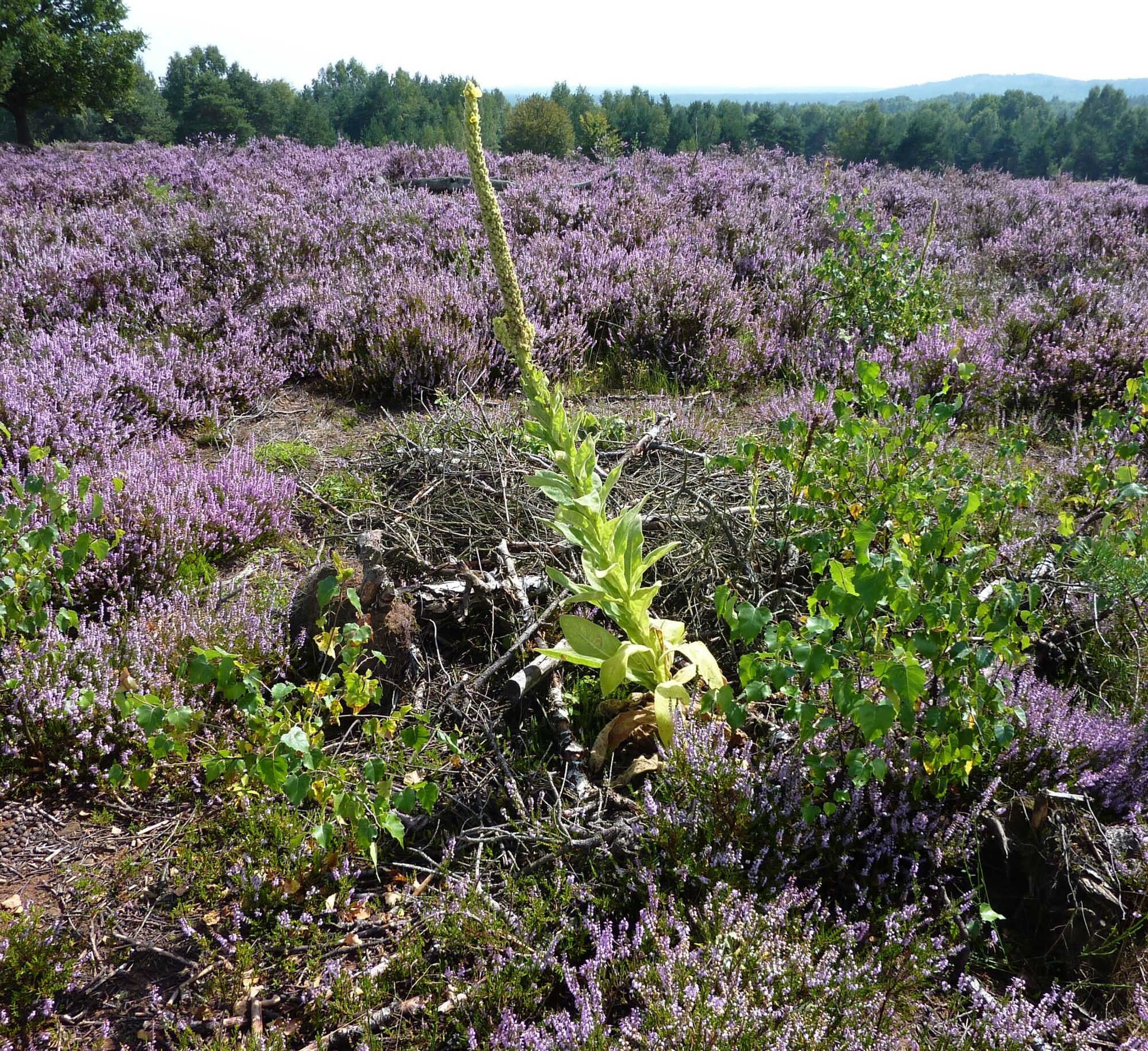
Start of the Hinkelstein hiking marathon/trail is the town hall in Otterberg. We follow the stickers (grey Hinkelstein on white background) to the city wall, turn right and immediately right again, then, after a short stretch on Lauterstraße, turn left into Bachstade. Following the path, we reach a paved road after the Kneipp facility, where we turn right. Always uphill through Johann-Roos-Straße, turn left at Am Rotenberg into the forest. We follow the marker „black Hinkelstein on white background“ over Pfifferlingsberg and turn right at the large crossroads, partially uphill to Götzenwooger Hang. Following splendid forest sections, we turn right again, where along Streifelsberg we come to a seating area known as "Ultesrast" locally. We continue hiking, along the edge of Mehlinger Heide to the official entrance of the „Mehlinger Heide“, one of the largest heath areas in southern Germany - checkpoint 1
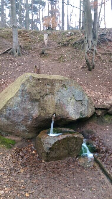
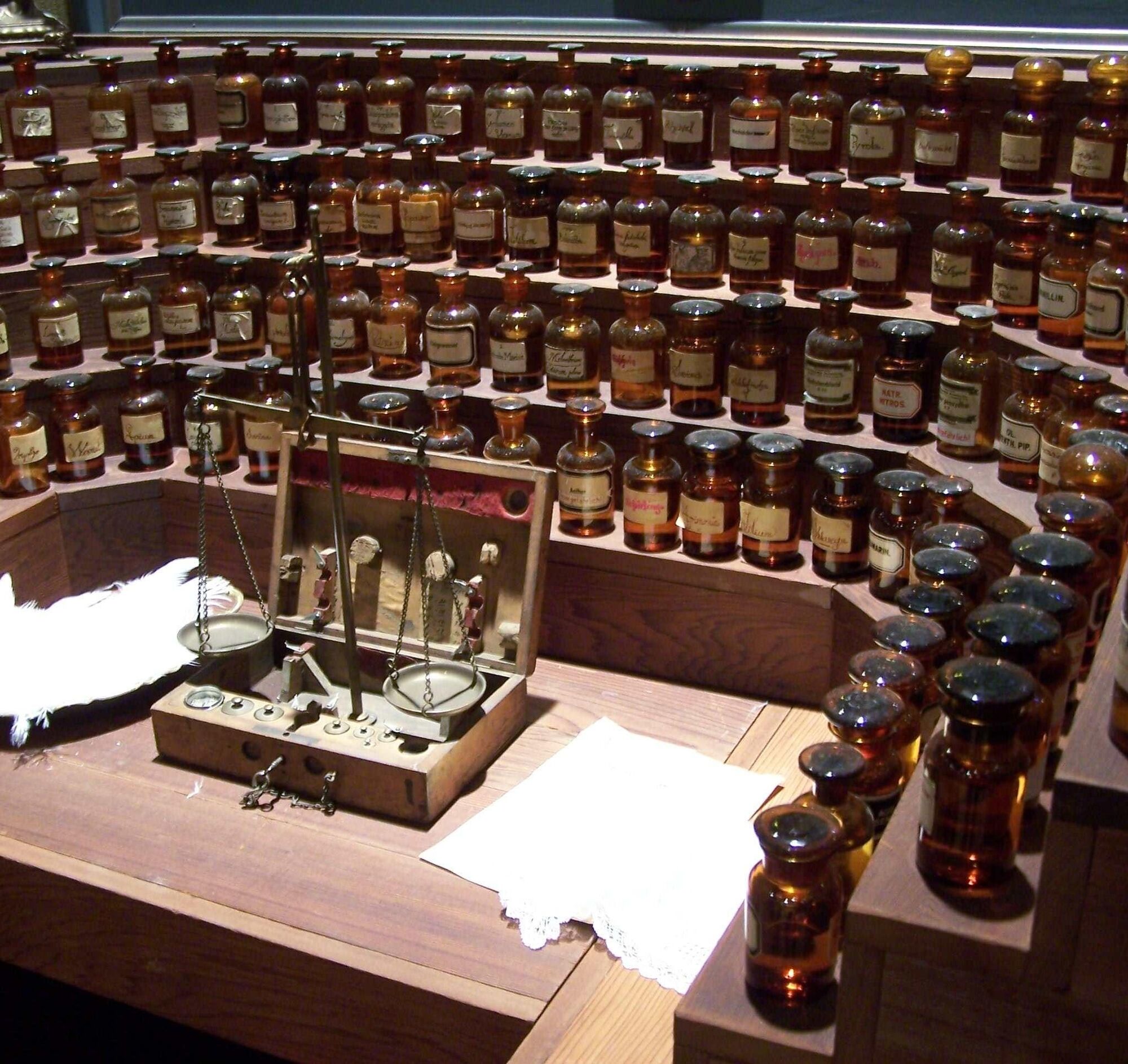
Through open areas, briefly along the A63, our path leads to the elevation "Hoher Rech" from which we have an impressive view over the former US military airfield Sembach, into the southern Palatinate. Through Baalborn we hike through meadows past a chapel and a playground over the beautifully designed water nature trail (crossing L382) to the Perfume Museum, built after the model of the film "Das Parfuem" (www.parfuemmuseum.de).
Along the forest edge over Mönchkopf, slightly uphill to Sonnenkopf, we continue over natural paths to the Lanzenbrunner Weiher, a gem in the Otterberg forest. The route continues varied. We now hike through the Grafenthaler stream valley, past the Husarenbrunnen, to the signpost at Drehenthalerhof (east) - checkpoint 2
We continue following the marker over Kahlenberg to a small quarry where the rare leopard sandstone was mined. A magnificent view of Donnersberg awaits us on the hill before Potzbach, which one should enjoy. We hike through Potzbach
- checkpoint 3
Open landscapes accompany us, past the Leithöfe we reach deciduous forest again, which leads us to the „Igelborner Hütte“ – a hut of the Palatinate Forest Club local group Winnweiler - checkpoint 4
The path now leads downhill to Höringen - checkpoint 5
Uphill, over the main street, Bergstraße, and a meadow path, we are rewarded for our effort with a magnificent view of the Donnersberg, at 687 meters the highest mountain of the Palatinate.
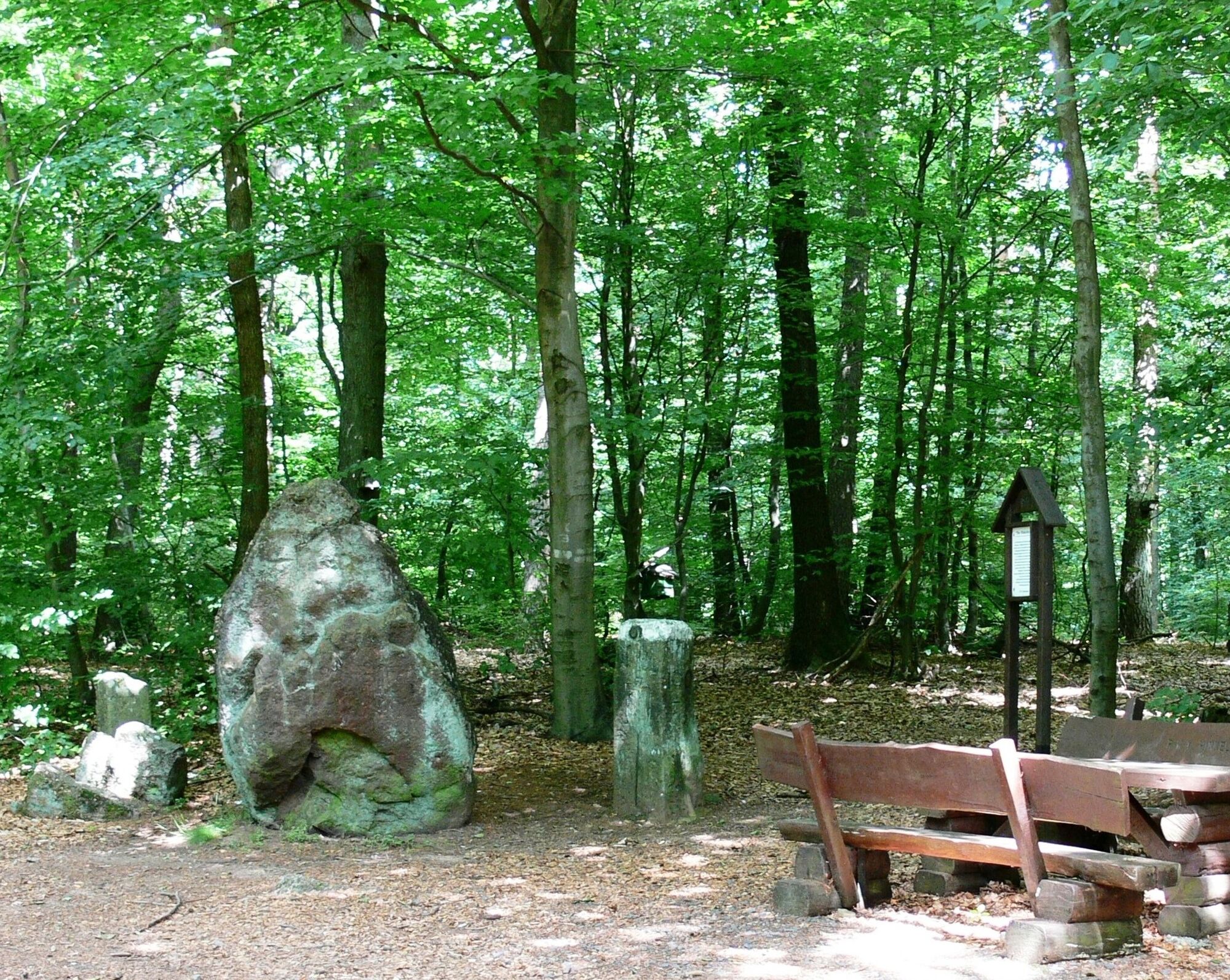
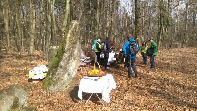
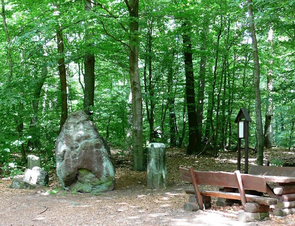
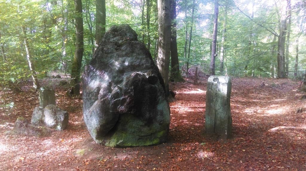
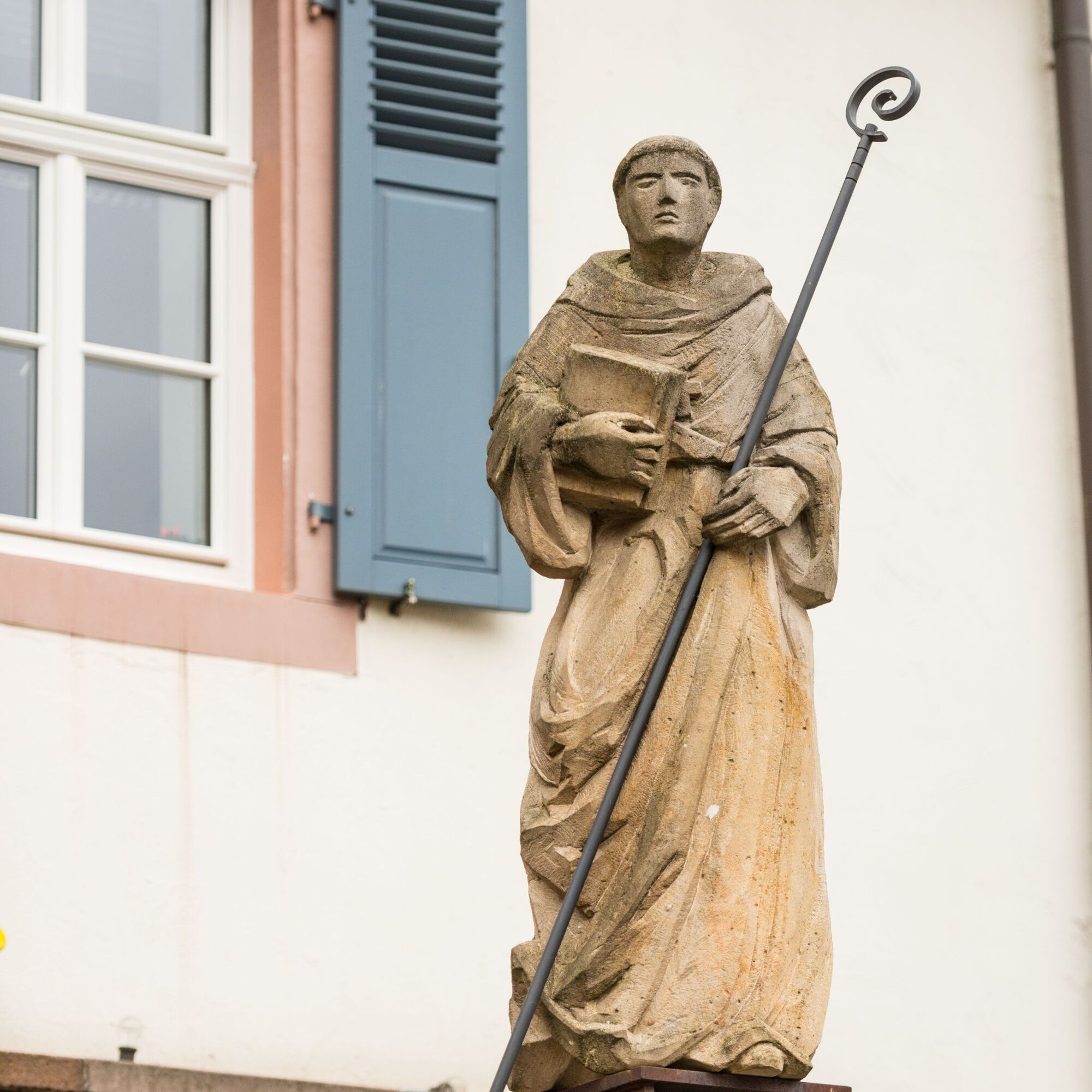
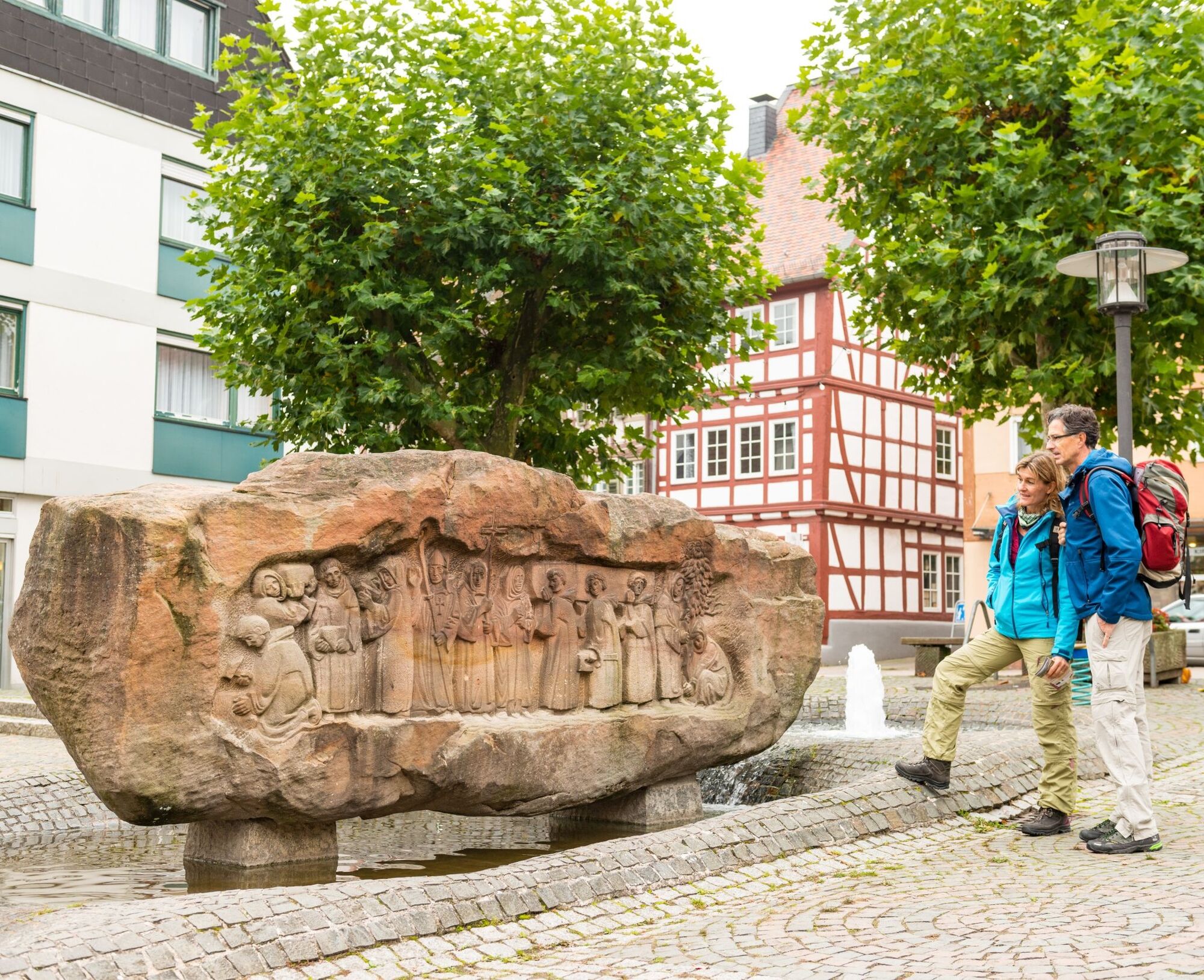
On the following section of the Hinkelstein trail, we encounter numerous boundary stones that, if they could speak, would tell much about the history of Otterberg Monastery. The abbot's crozier is still visible on many of these stones. Now we reach the Menhir „Hinkelstein“, which gives the trail its name - checkpoint 6
Menhir is originally a Breton term for an erected monolith several meters tall and means „long stone" (maen = stone, hir = long). In the German-speaking area, menhirs have also carried the colloquial designation Hinkelstein since the Middle Ages.
At the Menhir "Hinkelstein" until the French Revolution, the lordships of Falkenstein, Kurpfalz, and Schallodenbach met. Even today, the mighty Hinkelstein is a tri-border stone where the municipal boundaries of Otterberg, Höeringen, and Heiligenmoschel converge. The Hinkelstein, first documented in Roman times in 891, is about 2.20 meters high and 1.50 meters wide, flanked by two hewn boundary stones. A seating area invites visitors to rest.
On our way, we pass the Lenhardt stone, a memorial to a former forester, turn left here, and hike downhill to Birotshof, where we find an enchanted pond. Further downhill, we cross the L 387 and reach the historic spring festival square (odd-numbered years) of the town Otterberg. Now we reach uphill again the Drehenthalerhof (west) - checkpoint 7
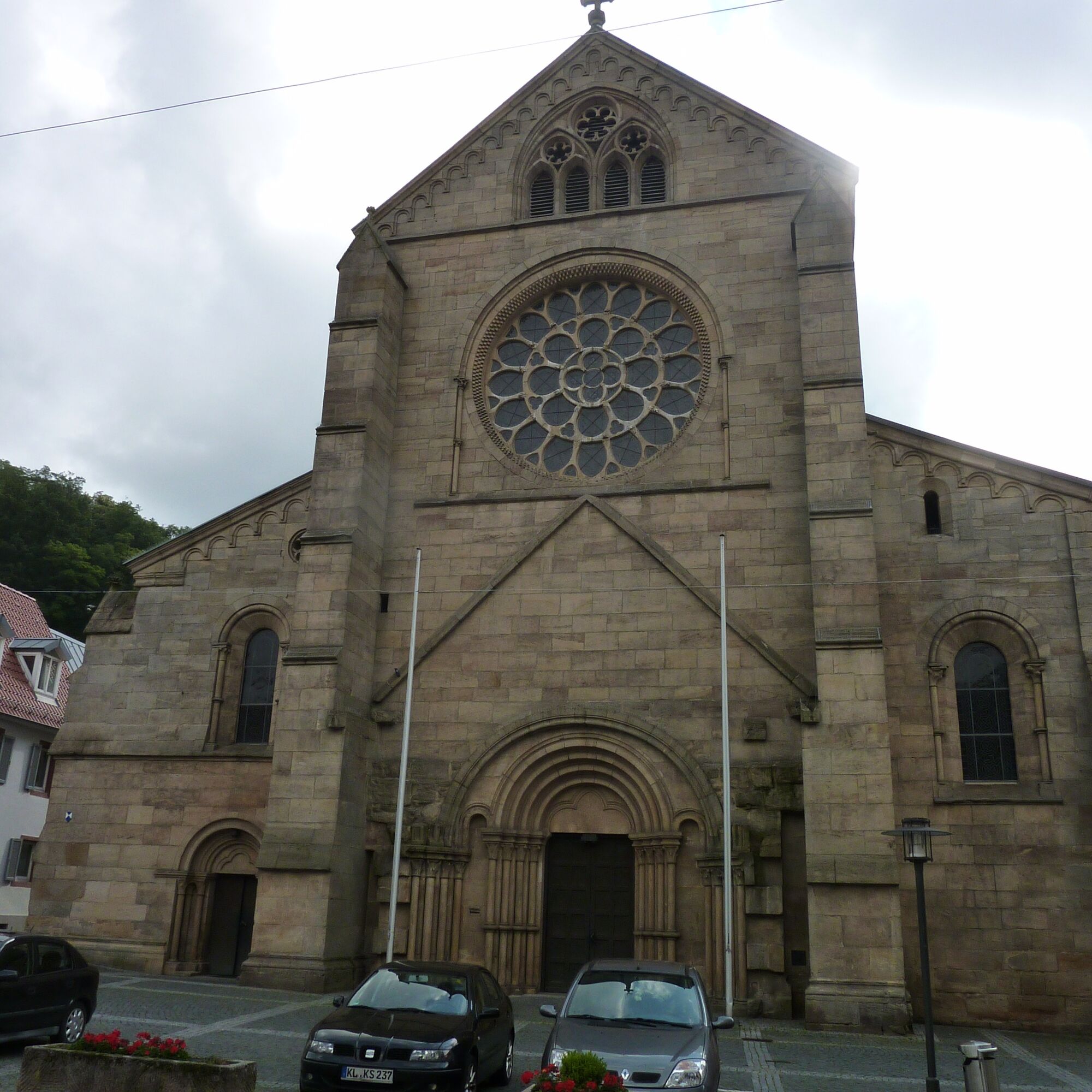
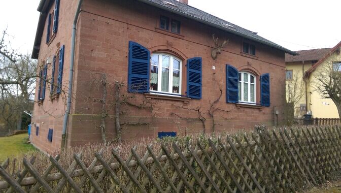
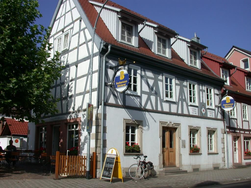
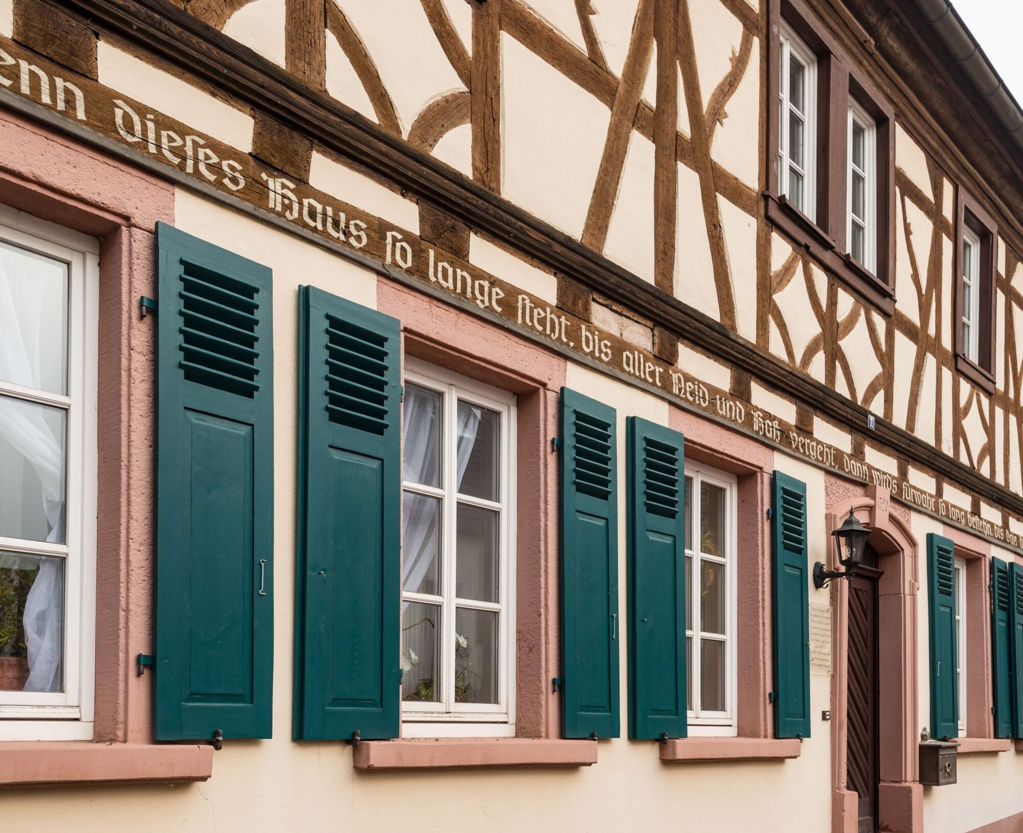
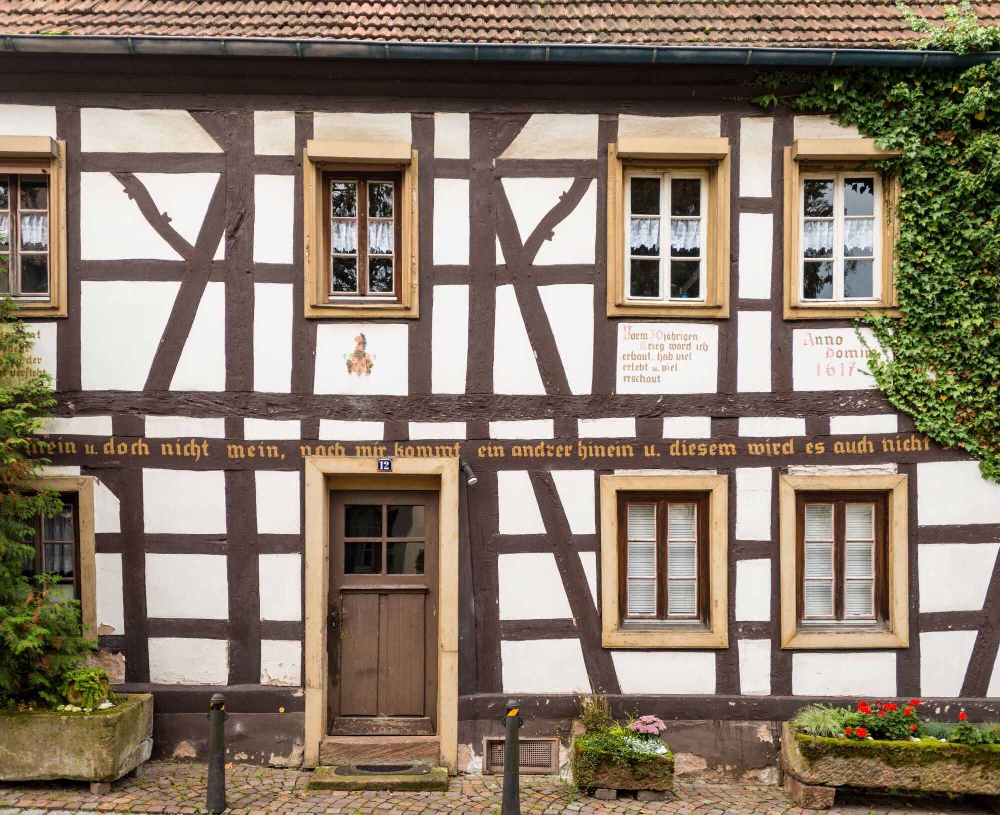
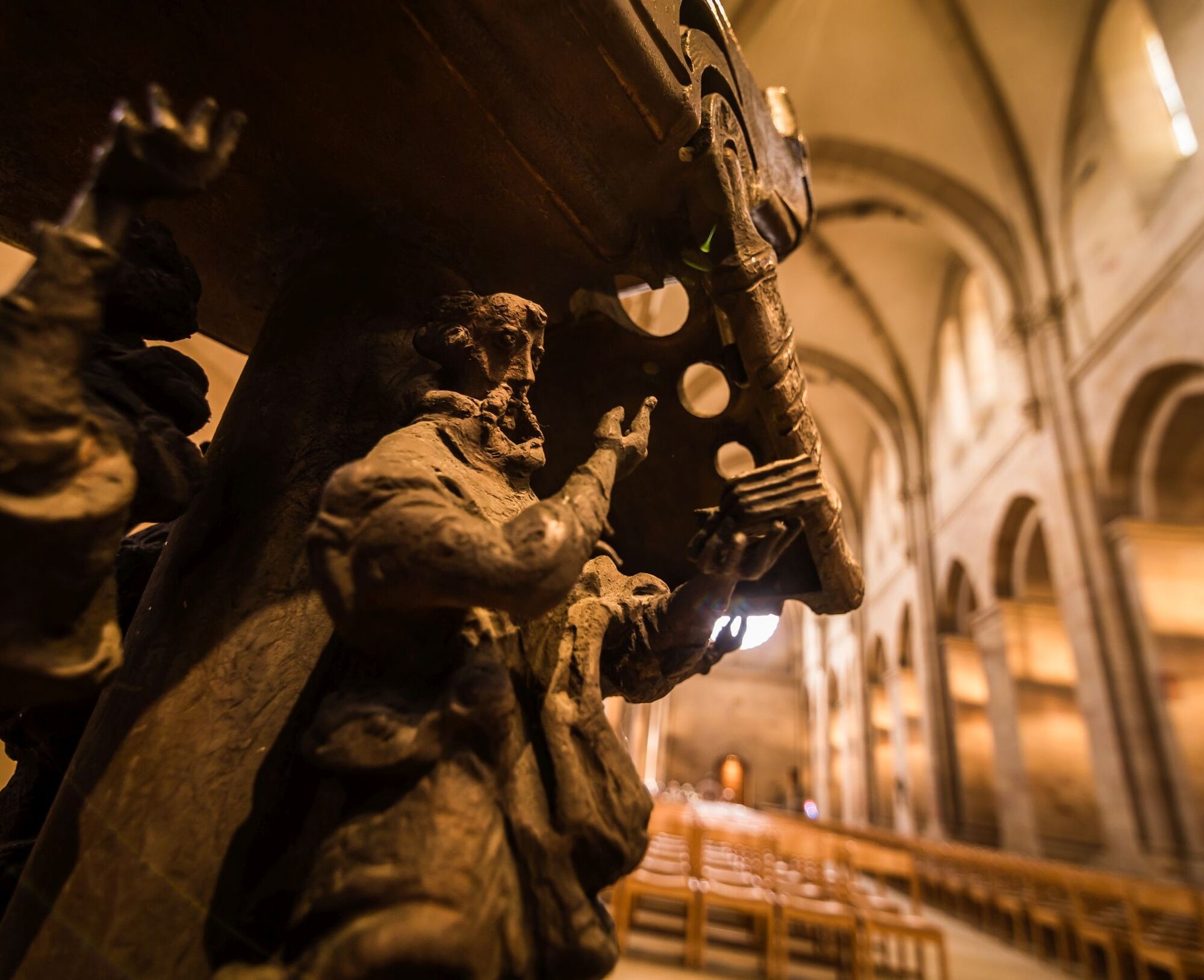
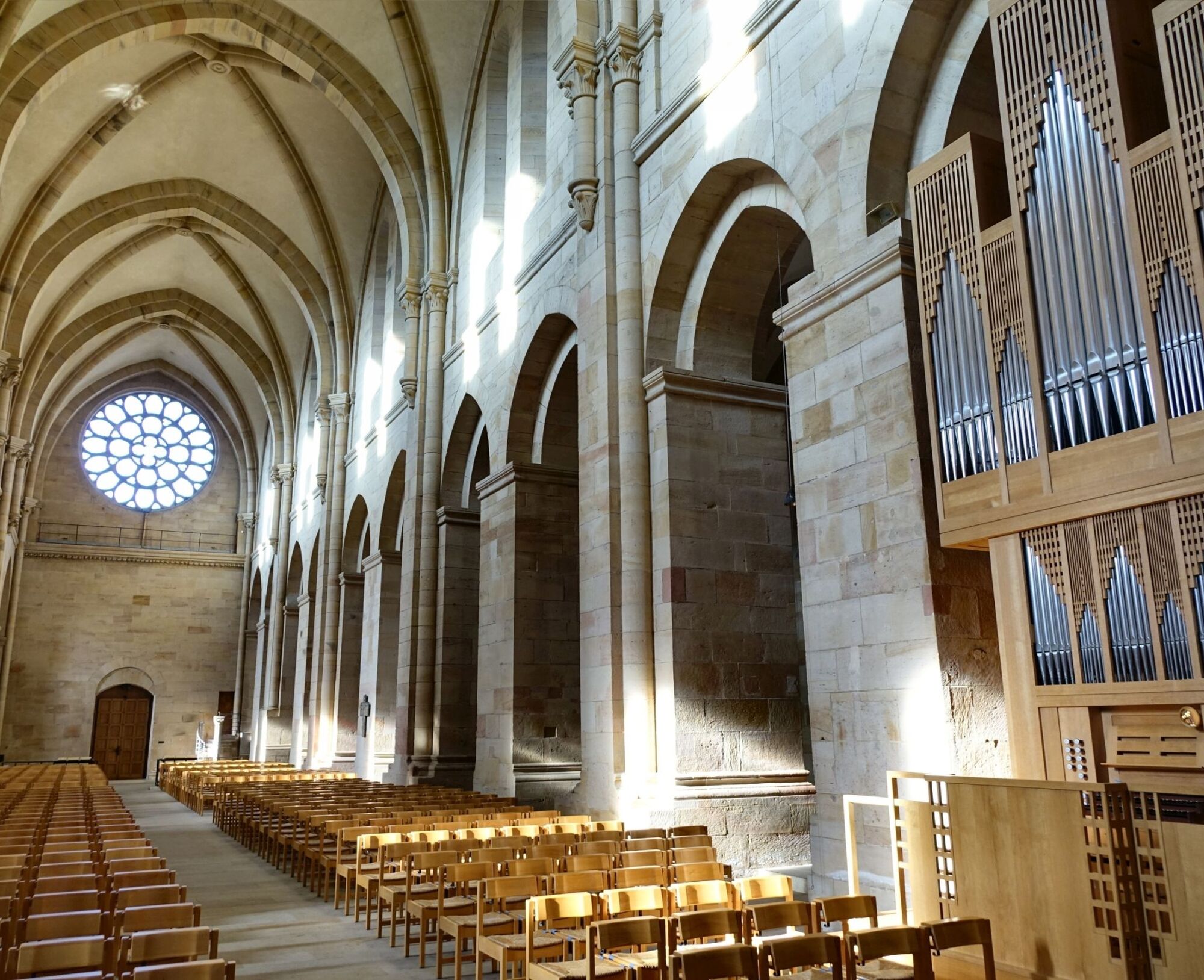
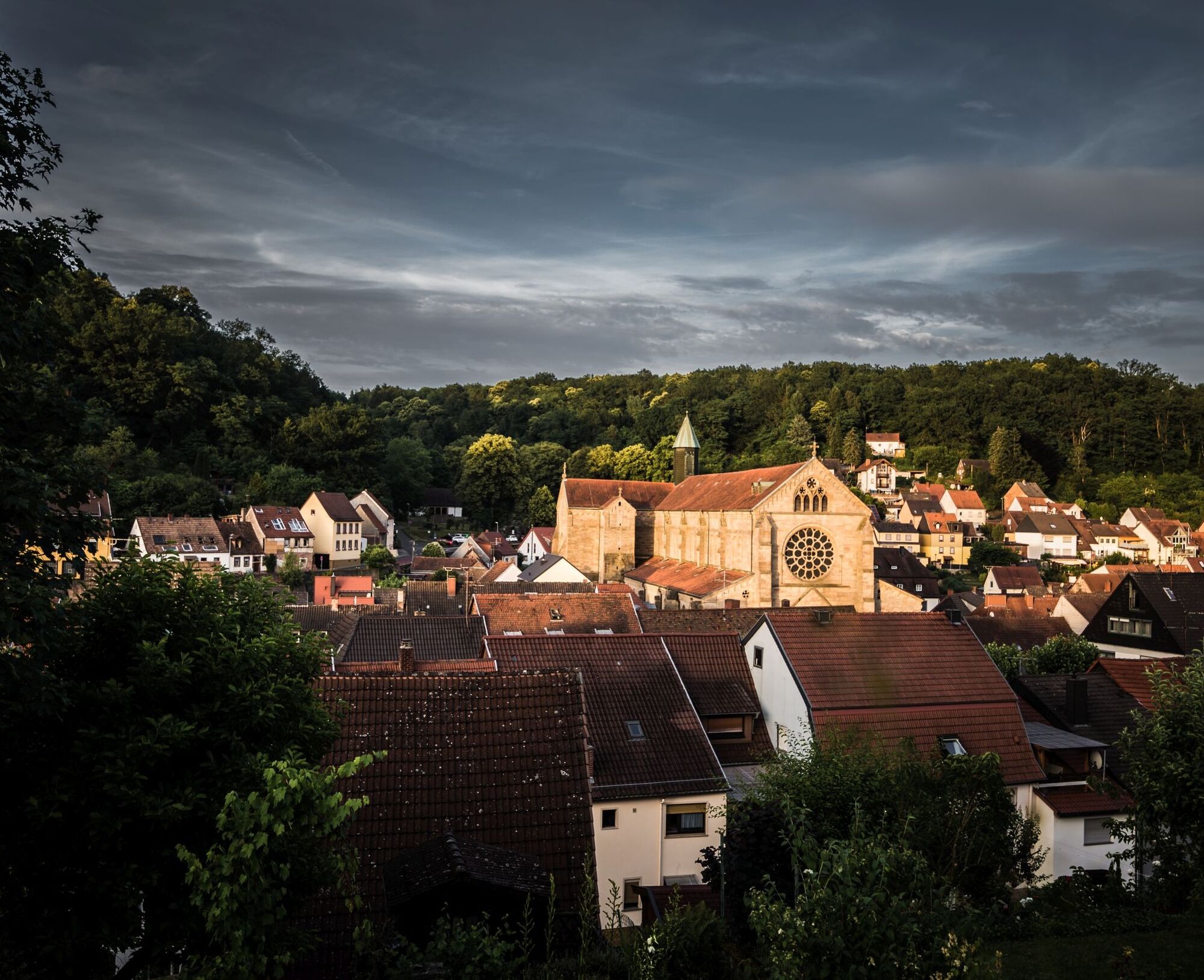
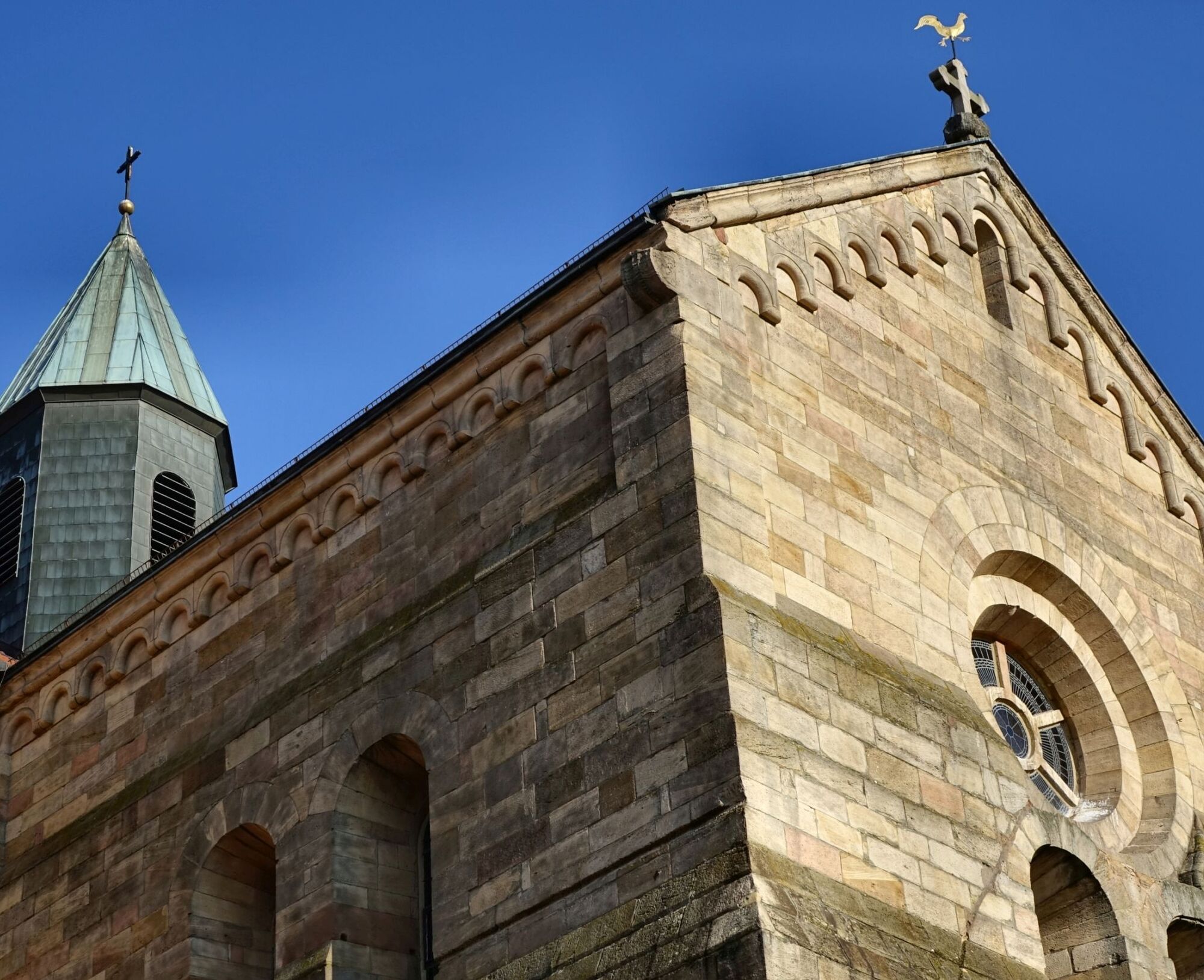
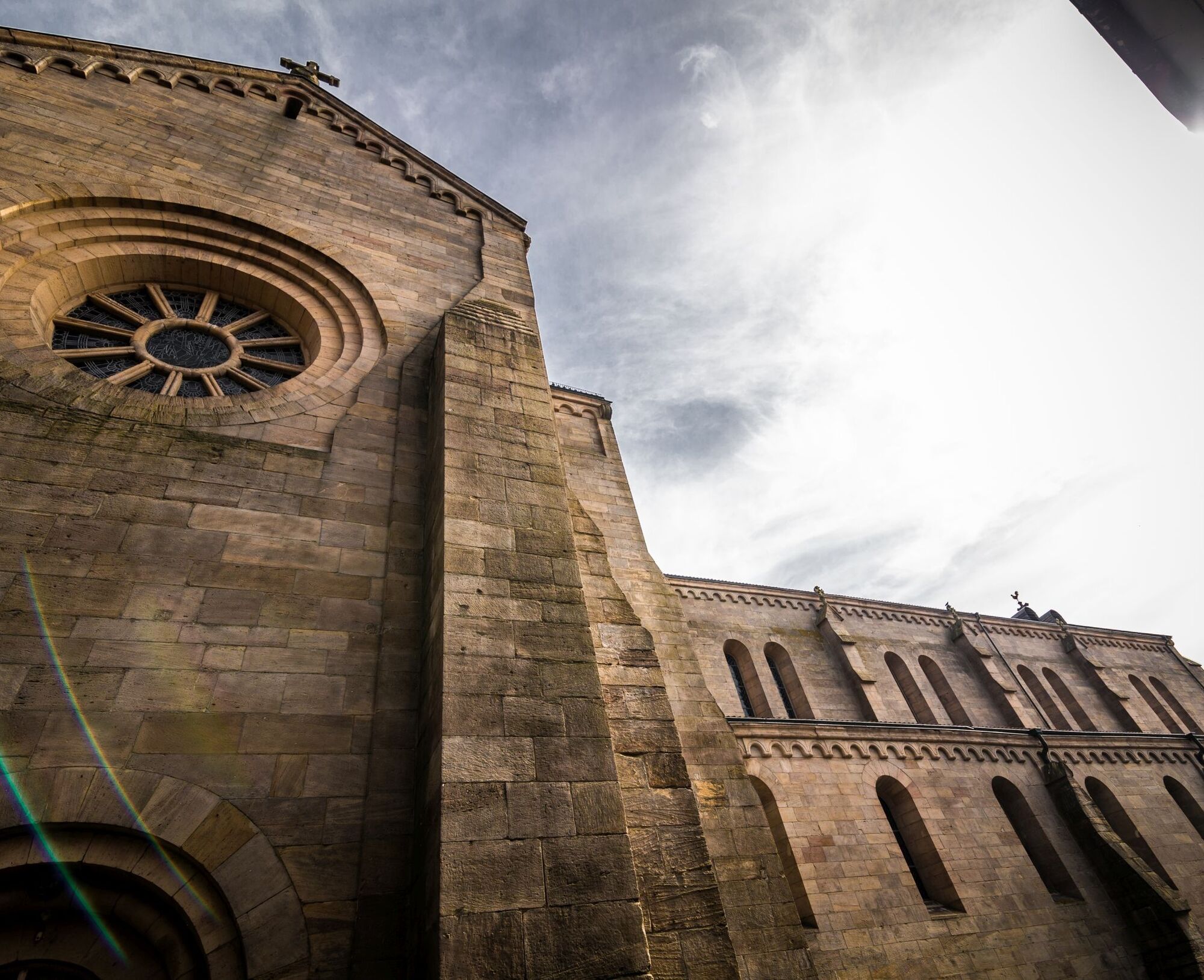
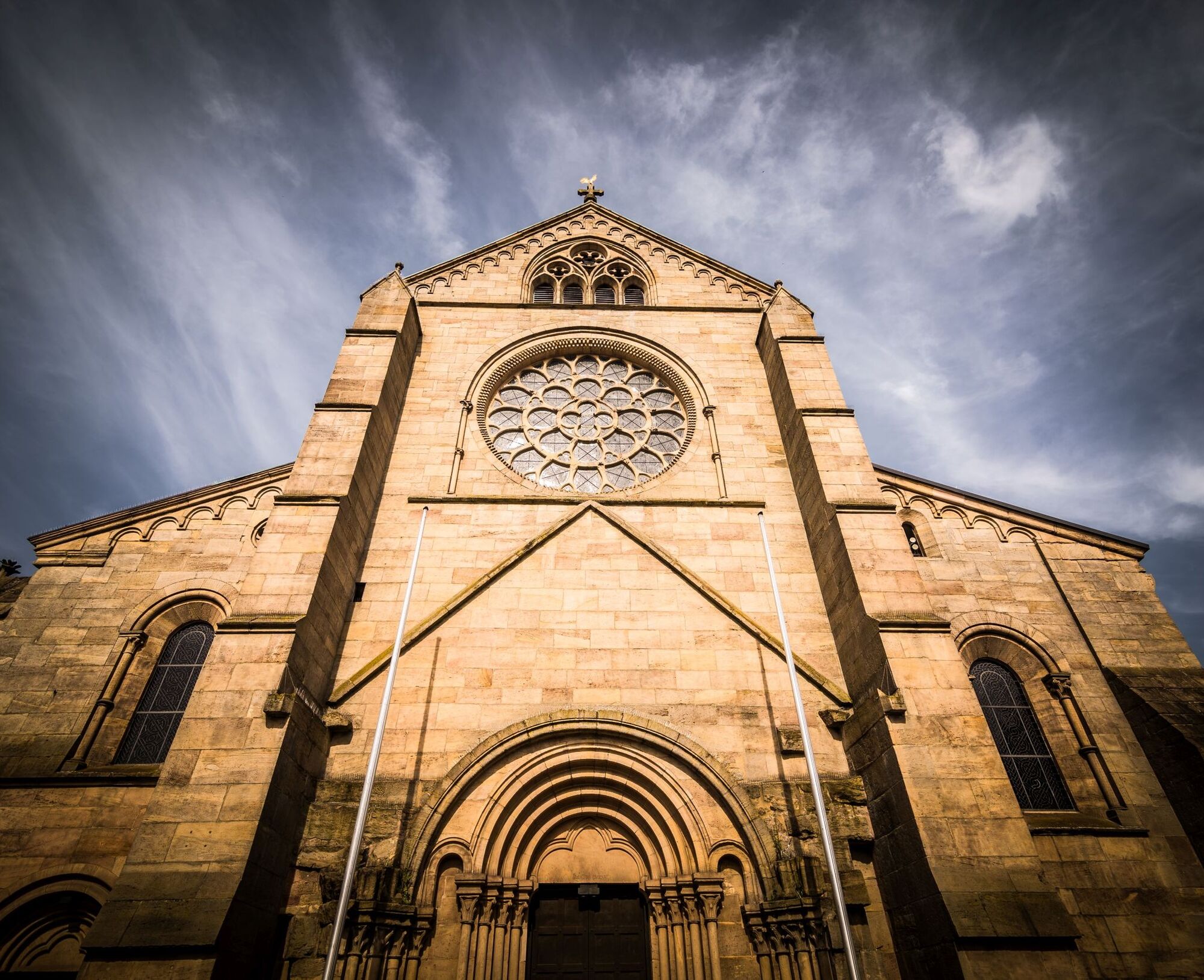
We hike downhill through Scheid forest through the floodplain of the Otterbach to the Naturbad Otterberg, a beautifully located public swimming pool. Further along the floodplain, we now reach the Johannis parking lot. We cross the parking lot and Johannisstraße and enter through the "Loch" (passage between houses at Kraus Inn) into the old town of Otterberg by the large Cistercian abbey church (largest sacred building after Speyer Cathedral), past beautiful half-timbered houses through the city wall to the starting point of the circular hiking trail, the town hall - finish.
Da
For our hiking tours, we recommend the following equipment as standard:
- Sturdy footwear
- Weather-appropriate clothing
- Sun and rain protection
- Sufficient supply of food and drinks, as there are not always opportunities to eat or shop available or open.
- Even though the paths are very well marked throughout, for safety reasons it is advisable to always carry a suitable
hiking map so that, for example, in the event of a thunderstorm or emergency, you can quickly find a safe area.
General note:
Especially in autumn, be aware that fallen leaves on the ground can cover unevenness, roots, stones or holes in the path. After thunderstorms or rainstorms, trees may still fall or branches break off afterwards. Especially in adverse weather conditions, natural paths may become muddy and slippery. Not all rocks or cliffs are secured with ropes or railings. Surefootedness is required in places. You must expect such path impairments when hiking. If you believe certain sections are not passable for you, you should bypass them.
NOTE:
We strive to announce all closures caused by forest work or hunting societies on this platform. Nevertheless, there are situations where hiking trails are closed and we may not have been informed. Should you unexpectedly encounter a trail closure or detour, please observe the instructions for your own safety.
Via A 63 - exit Otterberg;
Via A 6 - exit Enkenbach-Alsenborn, L382 via Mehlingen, Baalborn to Otterberg.
Otterberg: rail connection via Kaiserslautern, then by bus G130;
Timetable information at www.vrn.de
Otterberg - parking lot at the town hall.
Coordinates: Longitude 7° 46' 25'' / Latitude 49° 30' 3''
https://w3w.co/unserem.zoll.keinesfalls
Da
Tourist Information Otterbach-Otterberg
Hauptstraße 54, 67697 Otterberg, Tel.: 06301 / 608800
Internet: E-mail: tourist-info@otterbach-otterberg.de
Tourism Office Winnweiler
Jakobstraße 29, 67722 Winnweiler, Tel.: 06302 / 602 0
Internet: E-mail: info@winnweiler-vg.de
Local Association Enkenbach-Alsenborn, Tourist Information
Hauptstr. 18, 67677 Enkenbach-Alsemborn, Tel. 06301 31504, www.enkenbach-alsenborn.d e , tourismus@enkenbach-alsenborn.de
Igelborner Hütte (Palatinate Forest Club local group Winnweiler)
67722 Winnweiler - fully drive through Straß Am Rauhen Weg to the field - the hut is at the top
Group registrations (from 15 people) and private parties by arrangement with hut caretaker.
Ernst Kurz Mobile: 0160 986 527 43 E-mail: kurzernst1975@gmail.com
Opening hours: Monday and Tuesday closed
Wednesday - Saturday 11:00 am - 10:00 pm (kitchen 11:30 am - 8:00 pm)
Sunday and holidays 10:00 am - 10:00 pm (kitchen 11:30 am - 8:00 pm)
Registration: For financial reasons, registration is only possible from January 2025!
Online registration at:
https://www.otterbach-otterberg.de/tourismus-freizeit/wandern/hinkelsteinweg/hinkelstein-wandermarathon-trail/
Entry fee: Pre-registration:
25 euros per person, including a surprise gift and refreshments at the checkpoints
NOTE: No refund will be made in case of cancellation or absence!
Start time:
Marathon: 7:30 am - 8:00 am;
Trail: 9:00 am - 9:30 am;
You can request the host directory as a *.pdf via one of the following addresses:
- tourist-info@otterbach-otterberg.de
- info@winnweiler-vg.de
- info@enkenbach-alsenborn.de
Tururi populare în vecinătate
-
4,0
Palatinate Forest Trail stage 01 Kaiserslautern - Finsterbrunnertal
mediuTraseu de drumeție pe distanțe lungi 16,9 km -
Mehlingen - Small round through the Mehlinger Heide
luminăExcursie 4,70 km -
Teufelstour - Olsbrücken
greleExcursie 15,1 km -
Palatinate Ridgeway Stage 02 Dannenfels - Bastenhaus
mediuTraseu de drumeție pe distanțe lungi 15,2 km -
Hinkelsteinweg - complete route
mediuExcursie 41,7 km -
4,0
Otterberg - Circular Hiking Route 5 - Springs Circular Hiking Route
luminăExcursie 6,91 km -
Pfälzer Höhenweg complete route
mediuTraseu de drumeție pe distanțe lungi 114,9 km -
Pfälzer Höhenweg Stage 01 Winnweiler-Dannenfels
mediuTraseu de drumeție pe distanțe lungi 16,6 km -
Katzweiler - Himmelstour
mediuExcursie 10,3 km -
Otterberg - Hinkelsteinweg (Southern Route)
mediuExcursie 21,8 km

Drumeții și urmărire


Nu ratați ofertele și inspirația pentru următoarea dvs. vacanță
Adresa dvs. de e-mail a fost adăugat la lista de corespondență.