


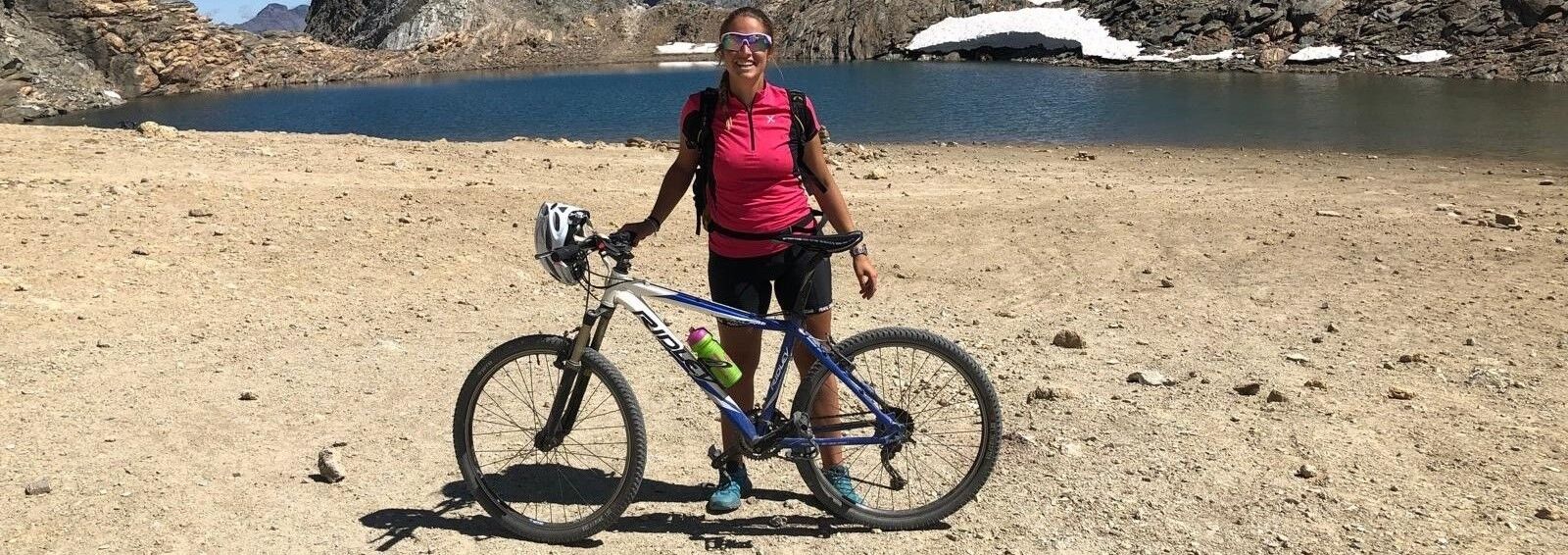
BARDONECCHIA Colle Sommeiller


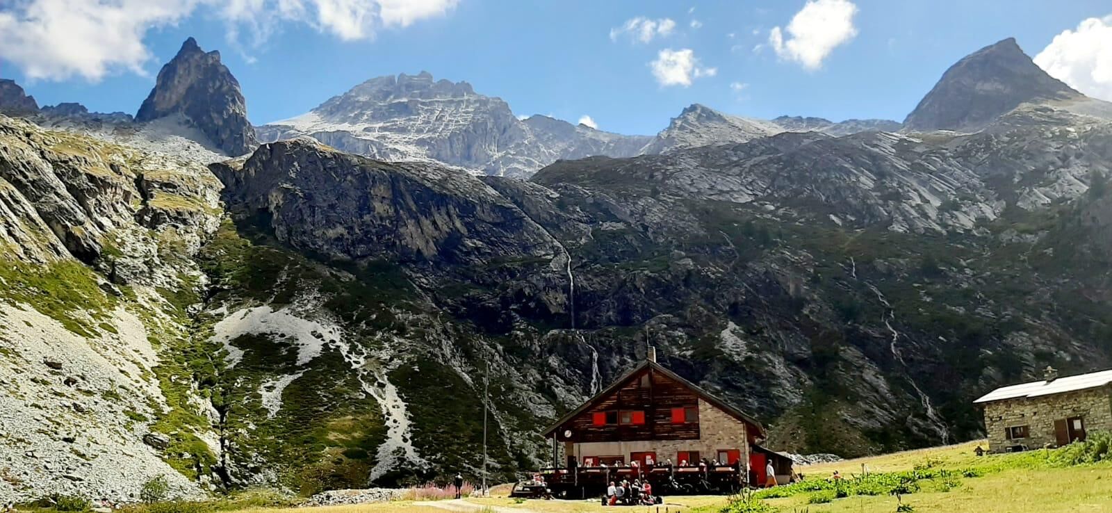
The itinerary winds its way through the Rochemolles Valley reaching the quaint hamlet of Rochemolles, the striking Rochemolles Dam, the clearing of the Scarfiotti Refuge with its small lakes and waterfalls,...
The itinerary winds its way through the Rochemolles Valley reaching the quaint hamlet of Rochemolles, the striking Rochemolles Dam, the clearing of the Scarfiotti Refuge with its small lakes and waterfalls, and the moonscapes at high altitude of the Sommeiller Pass.
The road that climbs from 1300 meters in Bardonecchia to the 3009 meters of the Colle del Sommeiller is considered the highest carriageway in Italy; it was built between 1963 and 1965 as an extension of the road that already reached Rochemolles to allow summer skiing on the Colle del Sommeiller glacier. The facilities operated until 1984, when the glacier began to retreat drastically until it almost completely disappeared.
The pass is named after Germano Sommeiller, the chief engineer who directed the construction of the Frejus railway tunnel.
Technical advice by Andrea Calzati - Bicycle tour guide
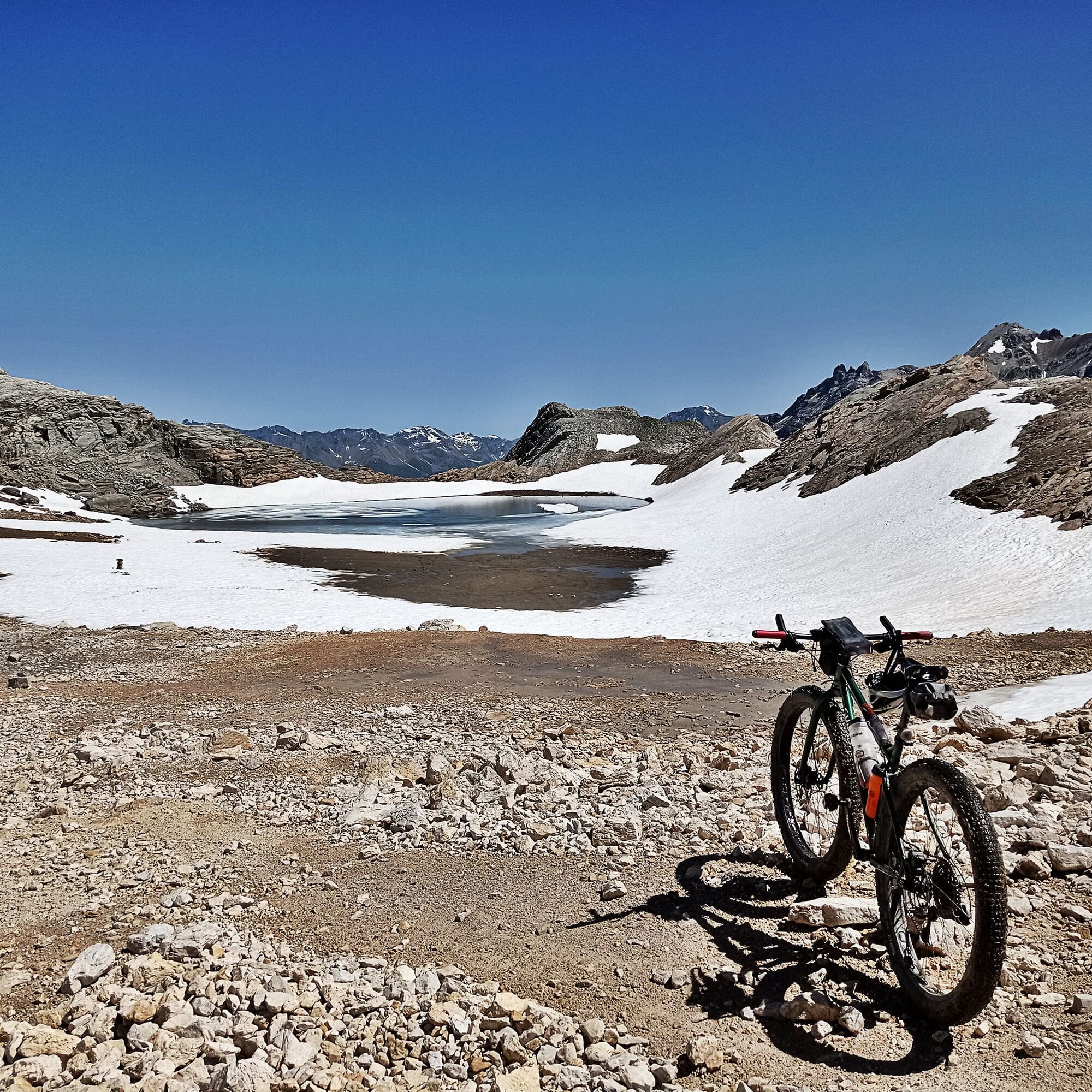
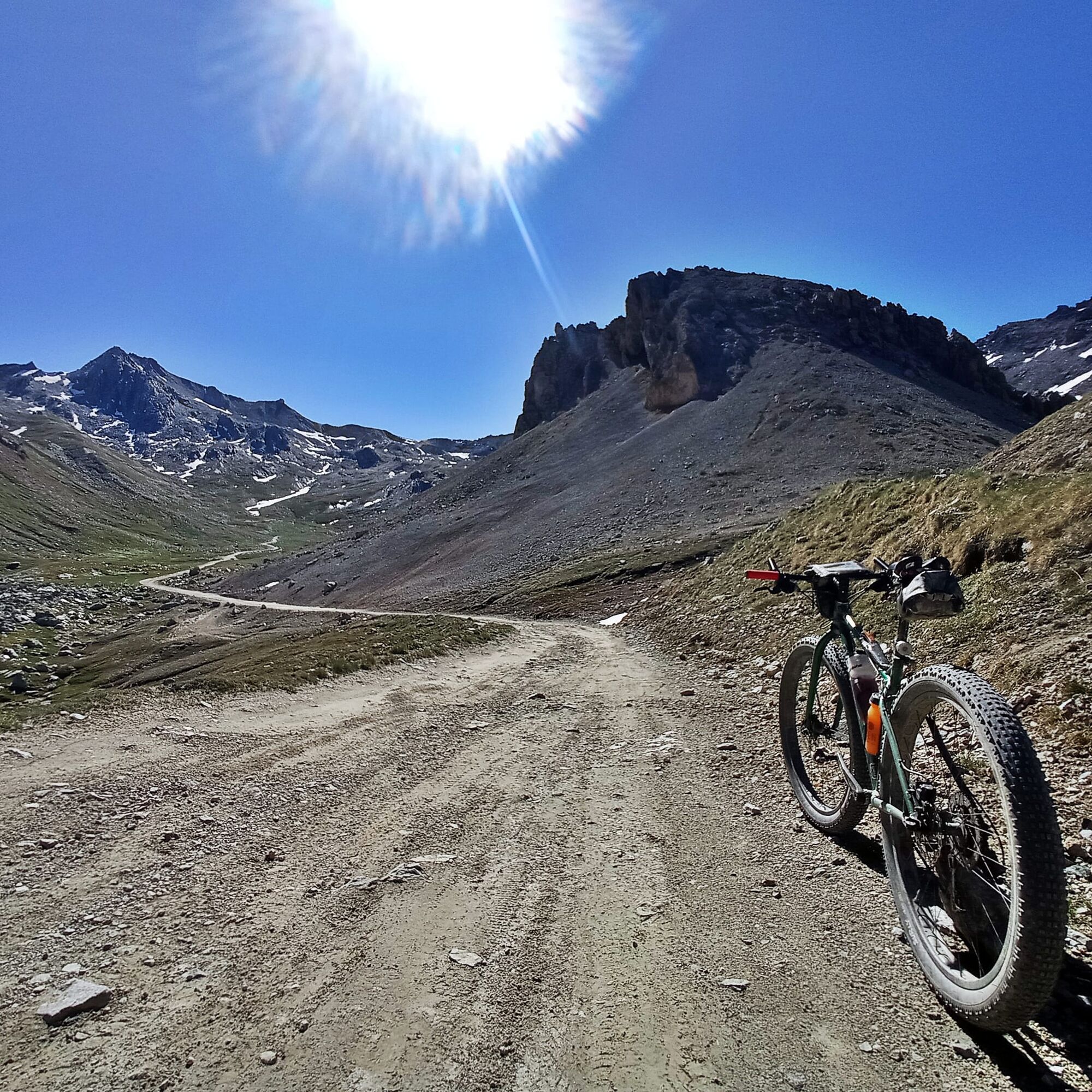
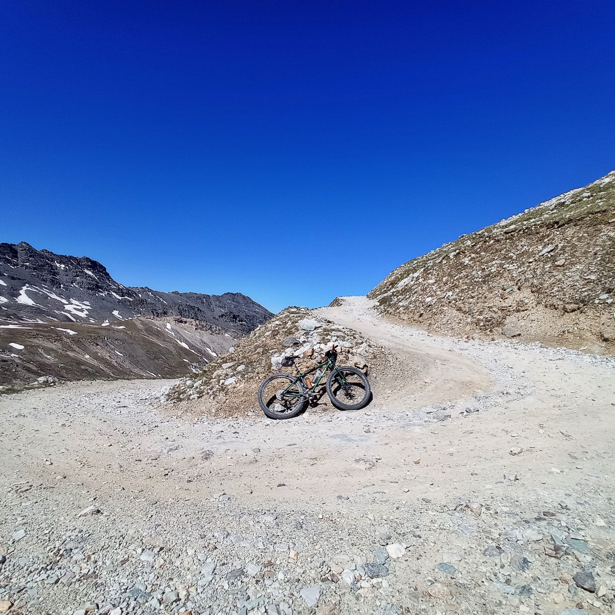
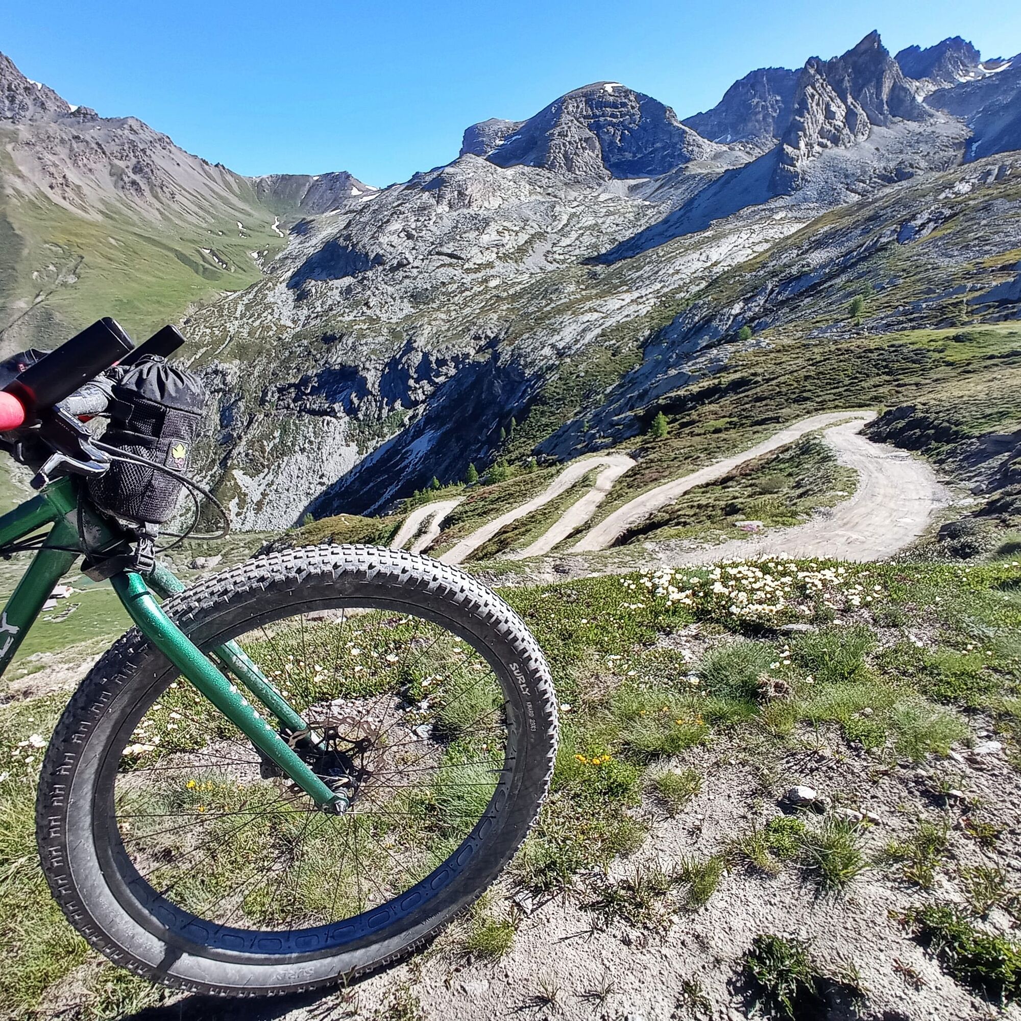
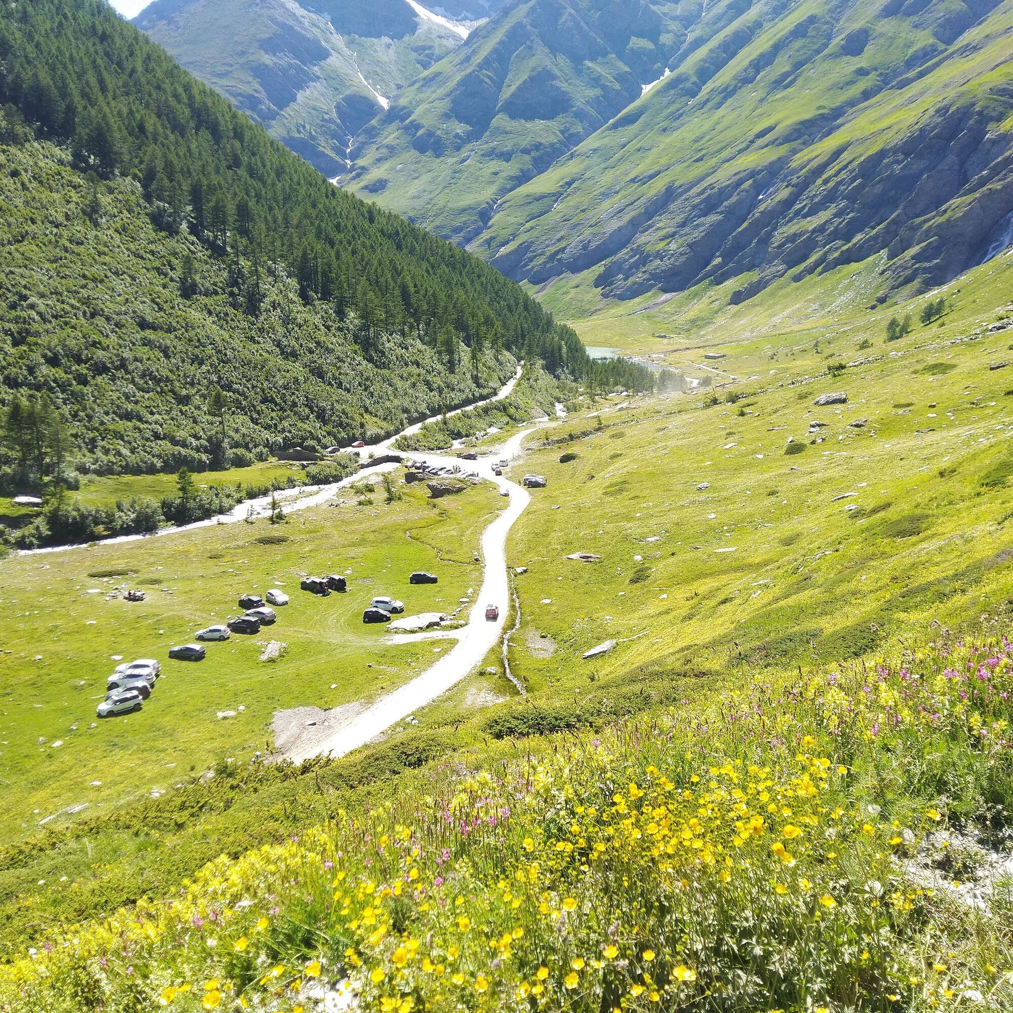
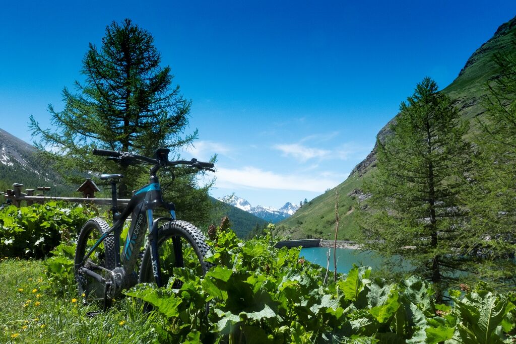
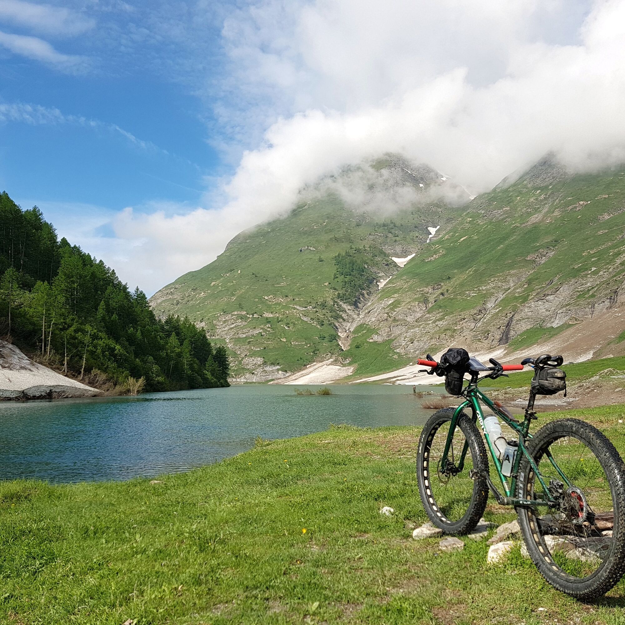
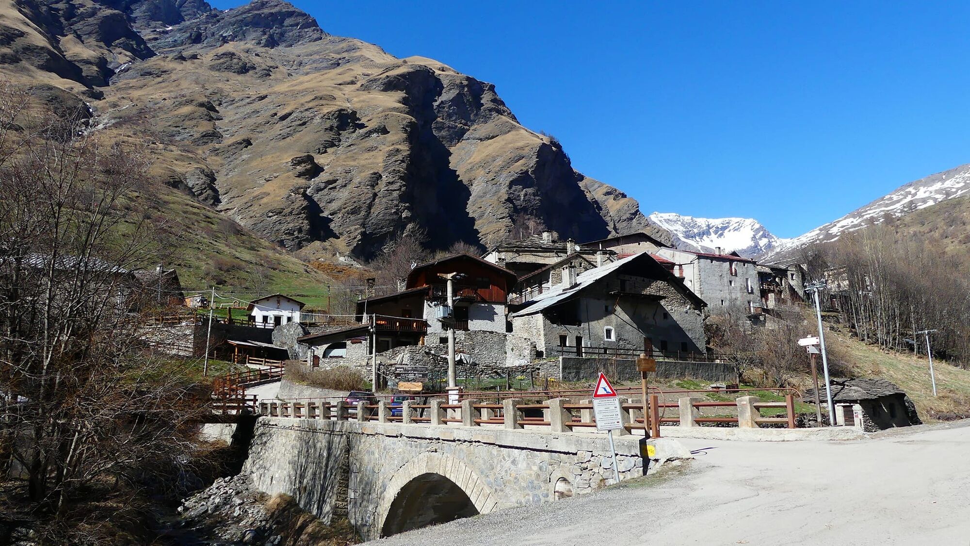
From Statute Square take Via Sommeiller to enter the Rochemolles Valley and climb until you reach the hamlet of Rochemolles. From here the road becomes unpaved. Continuing uphill, you reach the Rochemolles Dam and then the hamlet of Grange du Fond, where the Scarfiotti Refuge is located. The road climbs with several hairpin bends to Pian dei Morti and then continues to Pian dei Frati. From here the road becomes particularly stony. Proceed with a few more hairpin bends to reach Lake Patarè and finally Colle del Sommeiller near a small lake.
Da
MTB
E-bike
Gravel
The road is initially unpaved, but with a good surface, and then becomes rougher and with a mostly stony surface after Lake Pataré.
The road is closed to motorized vehicles from Rochemolles to Sommeiller Pass on some days of the week.
For details of the regulation of motorized traffic on mountain roads click here.
From Bardonecchia, follow the signs for Rochemolles and continue along the road that leaves the hamlet to your left
By train from Turin
From the train station (Via Torino) using LINEA 7-7bis with the bike trolley
Statute Square (not Saturday morning, which is market day)
Bring sufficient supplies of water with you because upstream of Rifugio Scarfiotti there are no longer fountains.
Take a break at Rifugio Scarfiotti or Rochemolles Dam for a picnic and enjoy the scenery.
Tururi populare în vecinătate
-
5,0
BARDONECCHIA Decauville
luminăExcursie 7,29 km -
5,0
BARDONECCHIA Lago Verde
mediuExcursie 4,14 km -
4,5
BARDONECCHIA Sentiero Walter Bonatti - Grange della Rho
mediuExcursie 6,12 km -
BARDONECCHIA Punta Quattro Sorelle
greleExcursie 8,69 km -
5,0
BARDONECCHIA Col des Acles - Passo della Mulattiera
greleExcursie 6,57 km -
BARDONECCHIA Punta Colomion - Passo della Mulattiera - Pian del Colle Ring
greleMountainbike 25,1 km -
BARDONECCHIA Rocce della Sueur - Tour jaune de Barabbas
mediuExcursie 4,12 km -
BARDONECCHIA Laghi Margherita
greleExcursie 8,24 km -
BARDONECCHIA Colle della Rho - Col de la Replanette - Colle di Valle Stretta Ring
greleMountainbike 32,8 km -
La Via dei Saraceni (Sauze d'Oulx)
mediuMountainbike 33,6 km
Drumeții și urmărire


Nu ratați ofertele și inspirația pentru următoarea dvs. vacanță
Adresa dvs. de e-mail a fost adăugat la lista de corespondență.