


Toggenburg Höhenweg
Nivelul de dificultate: T3


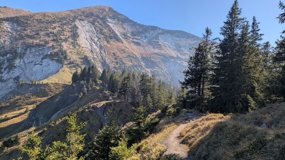
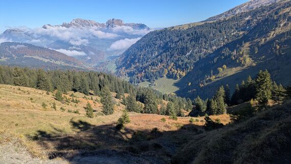
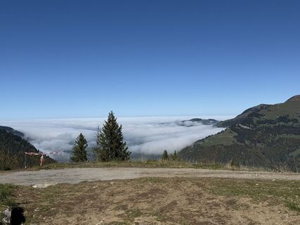
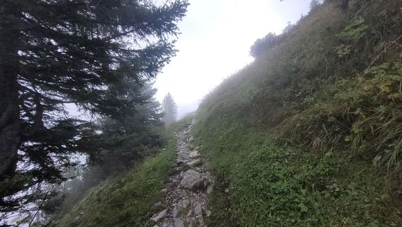
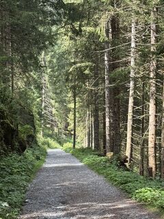
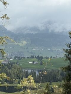
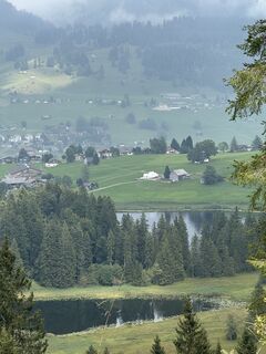
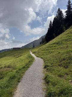
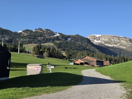
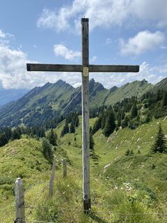
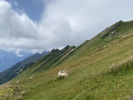
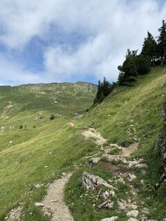
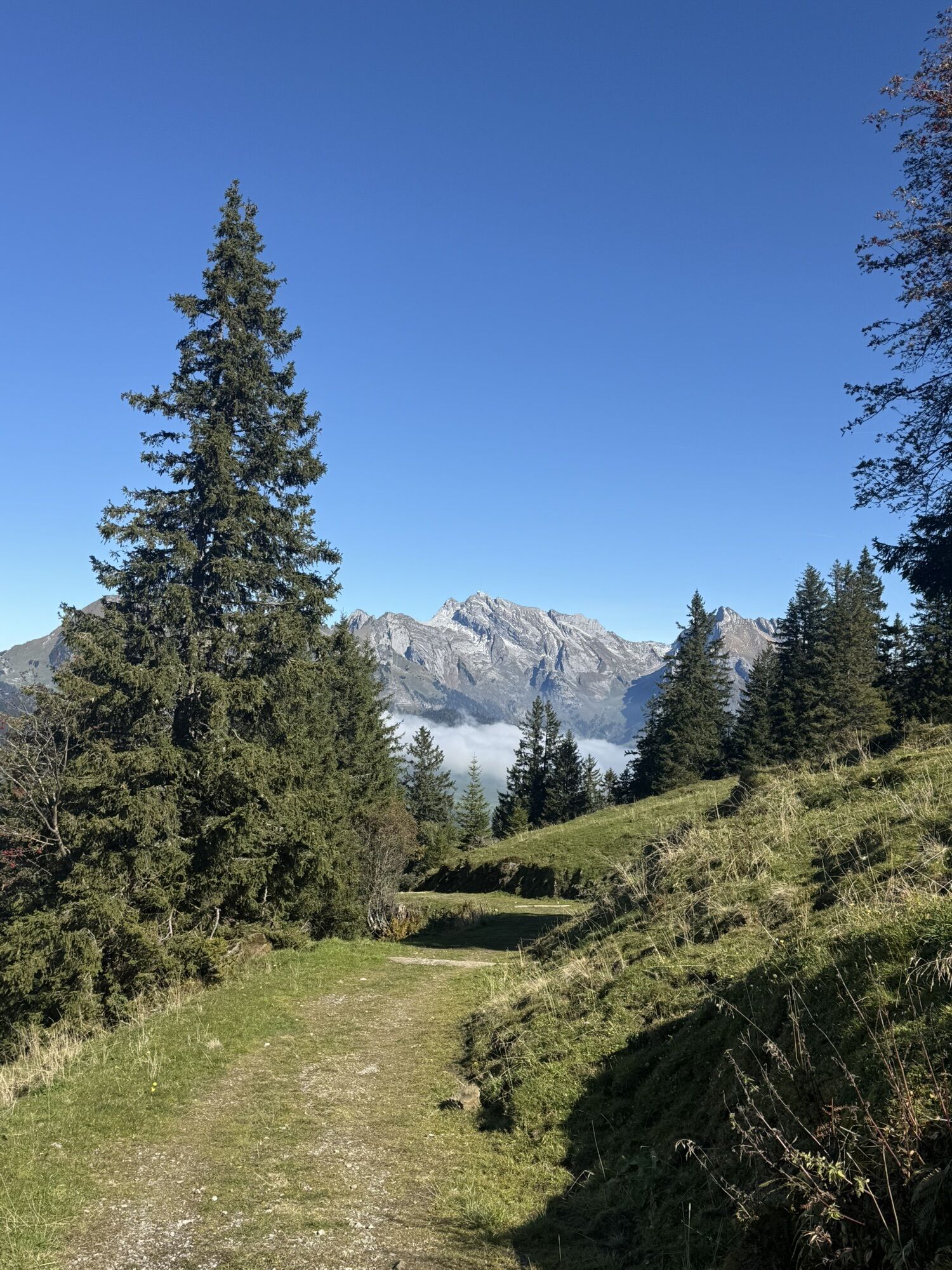
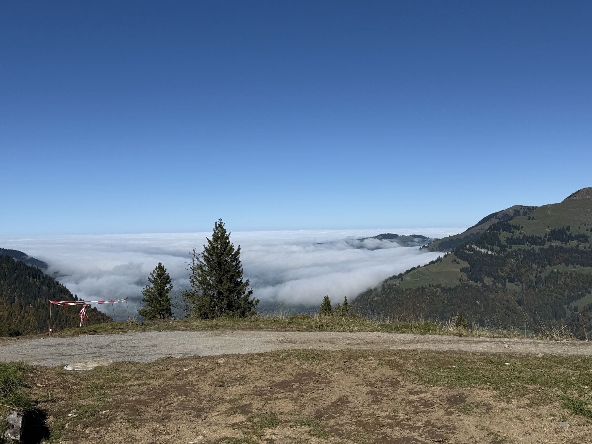
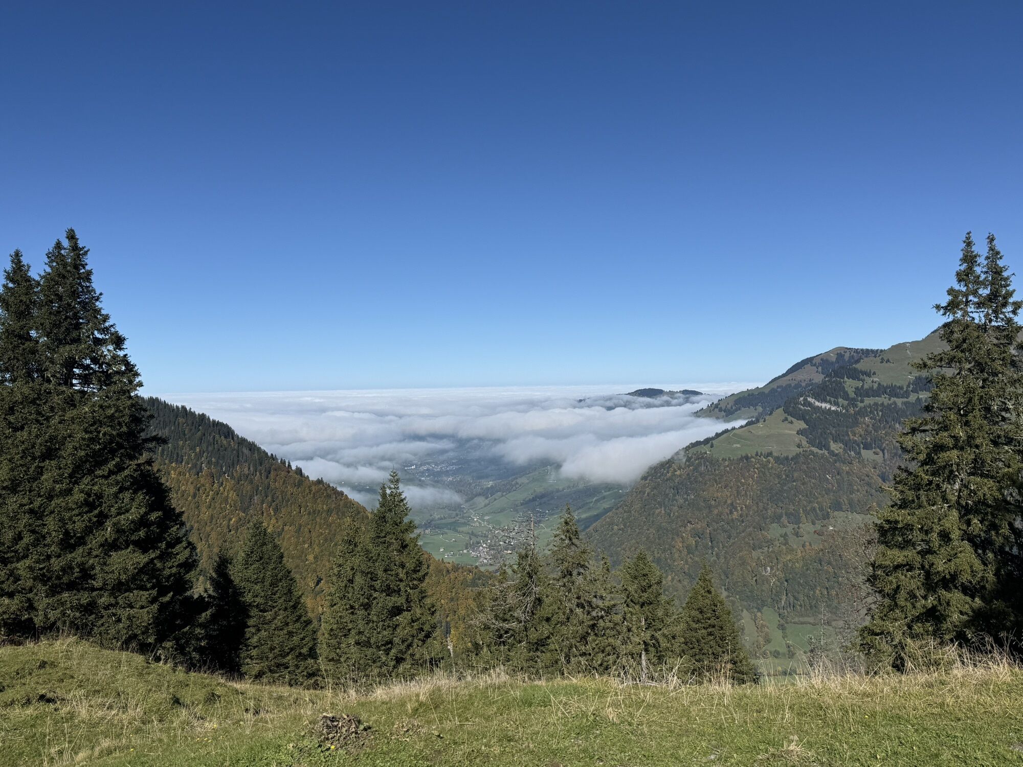
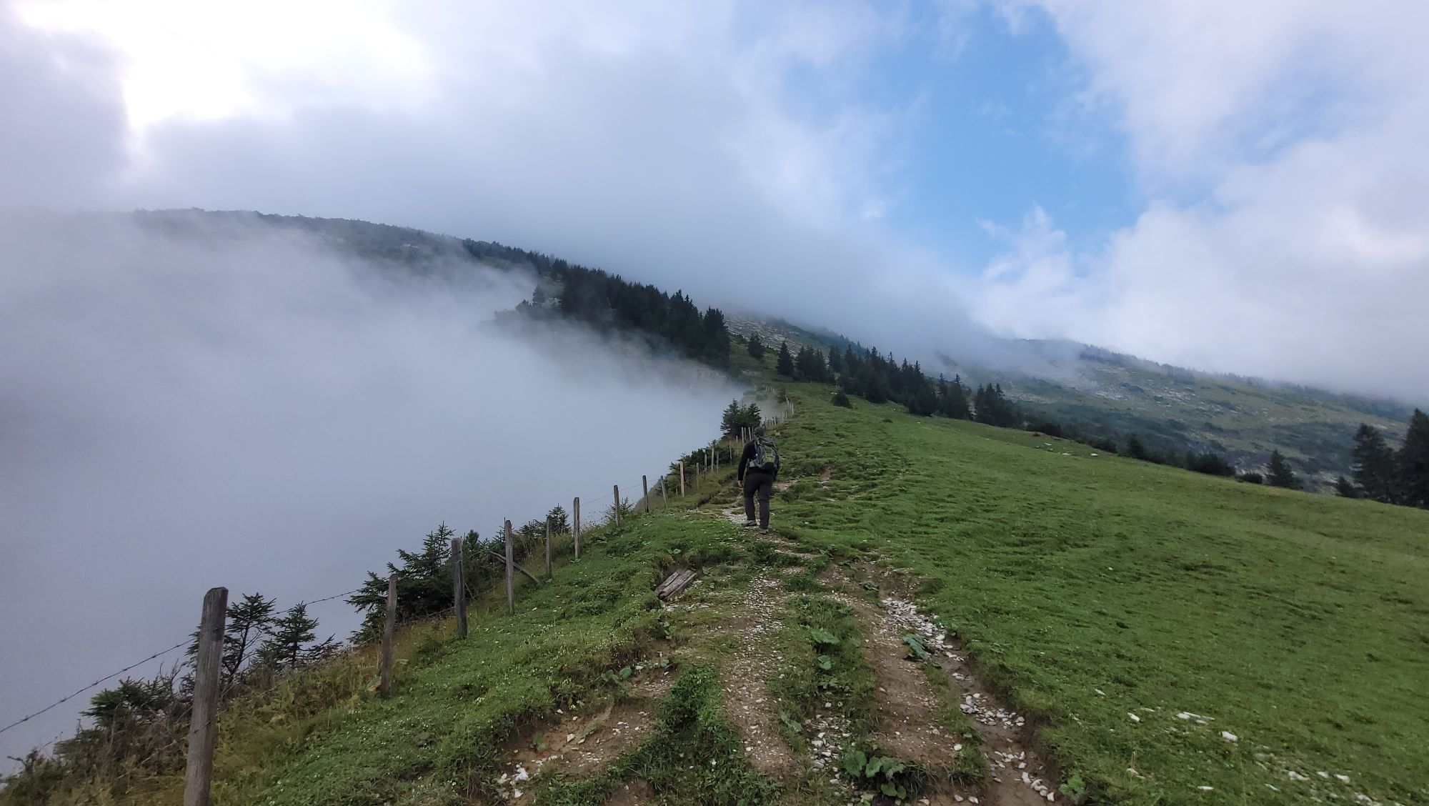
Fotografii ale utilizatorilor noștri
-

 © DanielCreat pe 18.10.2025
 -

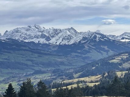
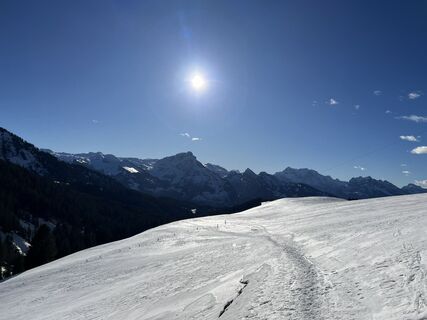
 © Наталья ЛапинаCreat pe 15.10.2025
 -
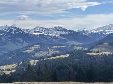
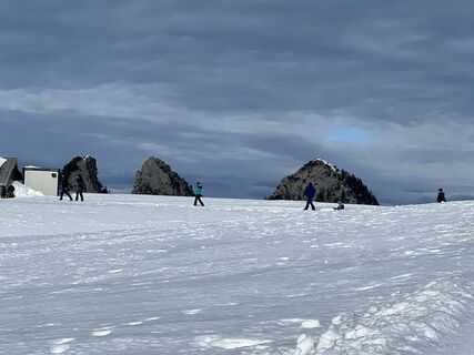
 © Наталья ЛапинаCreat pe 15.10.2025
 -
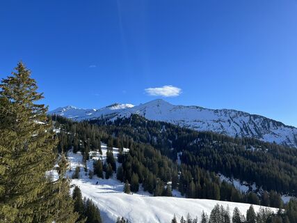
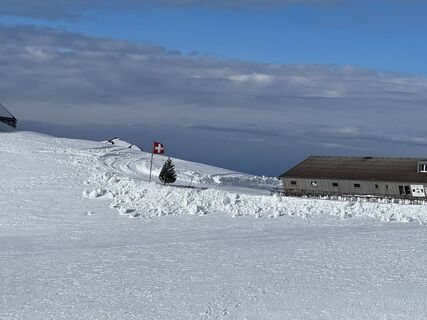
 © Наталья ЛапинаCreat pe 15.10.2025
 -

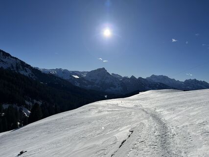
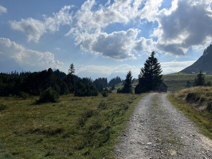
 © FábiCreat pe 11.10.2025
 -
 © FábiCreat pe 11.10.2025
 -
 © FábiCreat pe 11.10.2025
 -
 © deniuruCreat pe 23.08.2025
 -
 © deniuruCreat pe 23.08.2025
 -
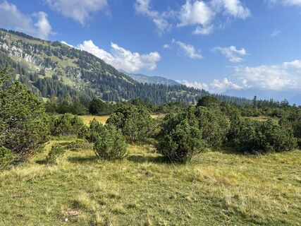
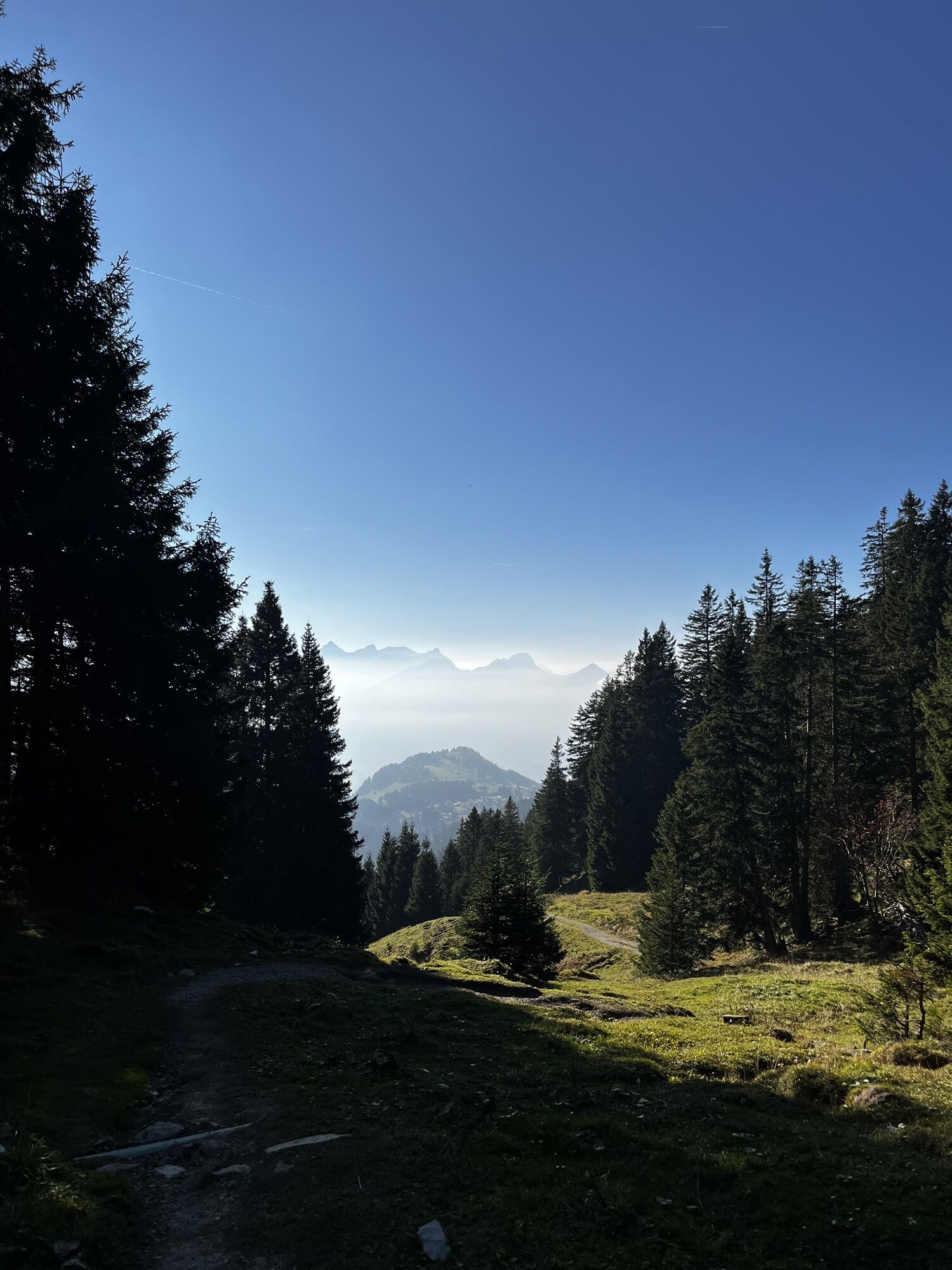
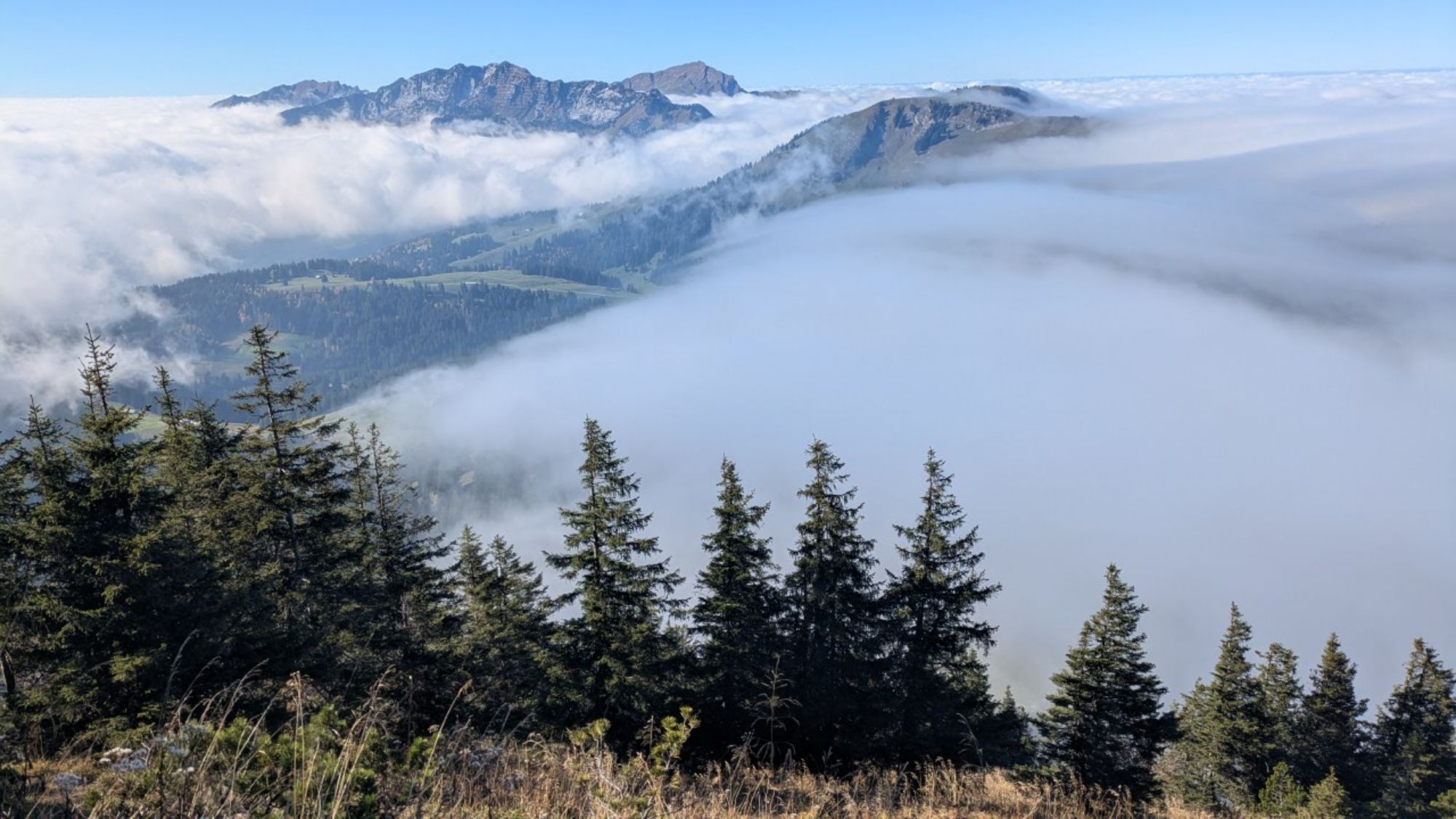
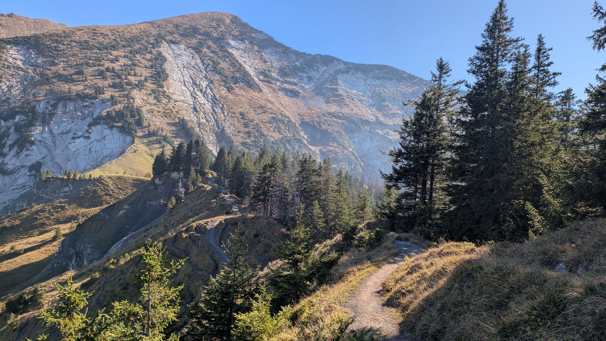
 © Passport1405Creat pe 17.08.2025
 -
 © Passport1405Creat pe 17.08.2025
 -
 © Passport1405Creat pe 17.08.2025
 -
 © Passport1405Creat pe 17.08.2025
 -
 © Passport1405Creat pe 17.08.2025
 -
 © Passport1405Creat pe 17.08.2025
 -
 © Passport1405Creat pe 17.08.2025
 -
 © Passport1405Creat pe 17.08.2025
 -
 © Peter BeyelerCreat pe 07.08.2025
 -
 © PezzottaCreat pe 20.07.2025
 -
 © SvenCreat pe 01.06.2025
 -

 © Ewald ZweifelCreat pe 30.05.2025
 -
 © Ewald ZweifelCreat pe 30.05.2025
 -
 © Ewald ZweifelCreat pe 30.05.2025
 -
 © FábiCreat pe 02.05.2025
 -
 © FábiCreat pe 02.05.2025
 -
 © SvenCreat pe 02.05.2025
 -

 © Ursula ReumerCreat pe 06.04.2025
 -
 © PezzottaCreat pe 03.11.2024
 -
 © Juergen RehgCreat pe 22.07.2023
 -
 © Juergen RehgCreat pe 22.07.2023
 -
 © Juergen RehgCreat pe 22.07.2023
 -
 © Juergen RehgCreat pe 22.07.2023
 -
 © Juergen RehgCreat pe 22.07.2023
 -
 © Annalena DietrichCreat pe 26.08.2022
 -
 © Annalena DietrichCreat pe 26.08.2022
 -
 © Annalena DietrichCreat pe 26.08.2022
 -
 © Wilfried KuhnCreat pe 13.06.2021
 -
 © Andreas MühligCreat pe 02.03.2024
 -
 © Andreas MühligCreat pe 02.03.2024
 -
 © Andreas MühligCreat pe 02.03.2024
 -
 © Silvia HollensteinCreat pe 03.01.2024
 -
 © Silvia HollensteinCreat pe 03.01.2024
 -
 © Silvia HollensteinCreat pe 03.01.2024
 -
 © Silvia HollensteinCreat pe 31.12.2023
 -
 © Silvia HollensteinCreat pe 31.12.2023
 -
 © Silvia HollensteinCreat pe 08.09.2023
 -
 © Silvia HollensteinCreat pe 08.09.2023
 -
 © Silvia HollensteinCreat pe 08.09.2023


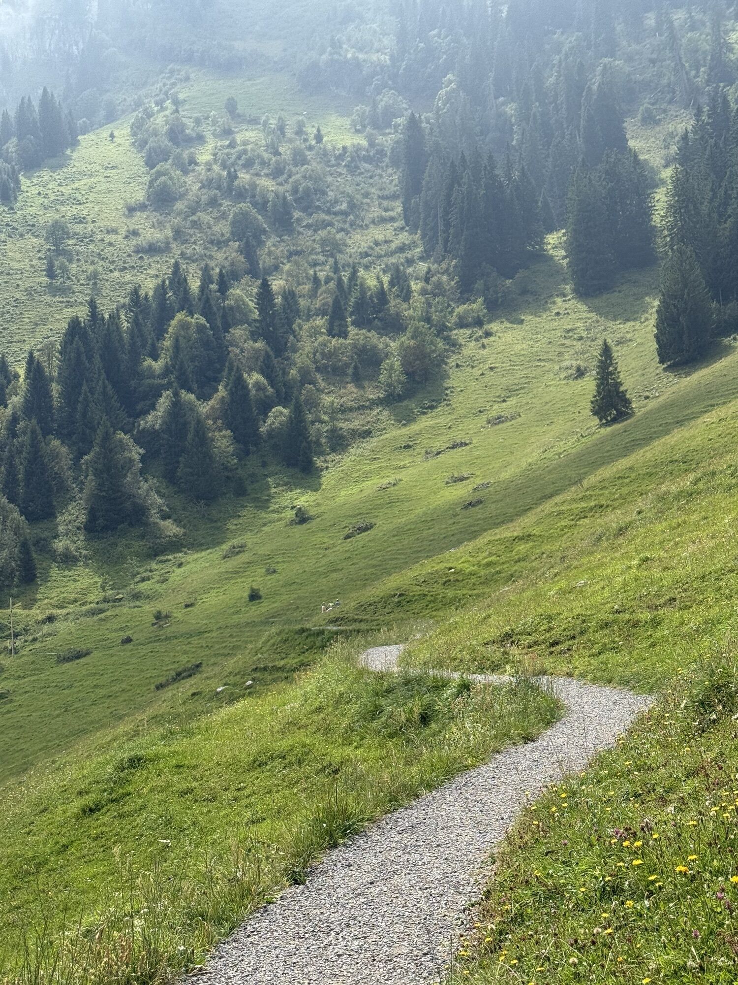
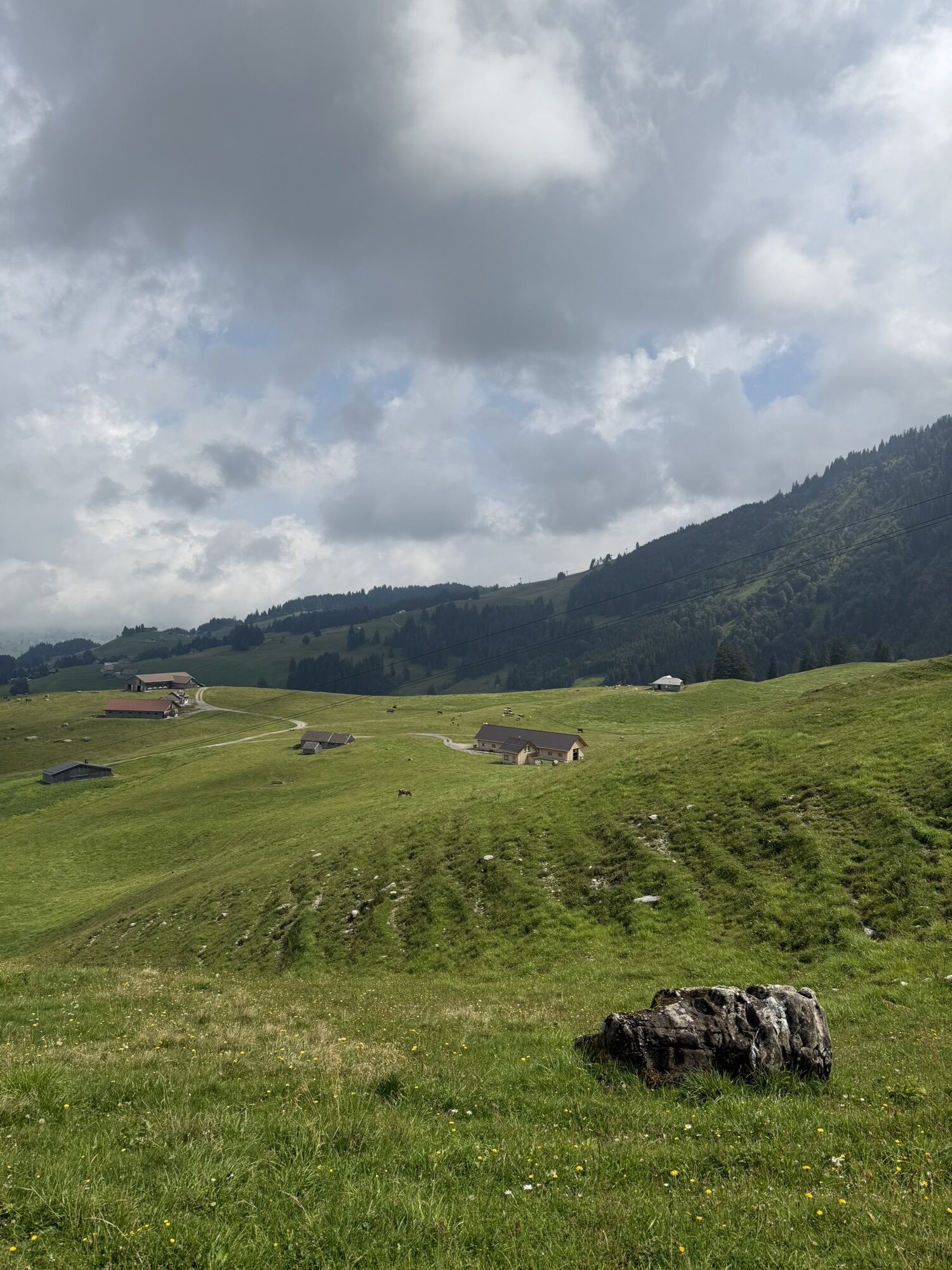
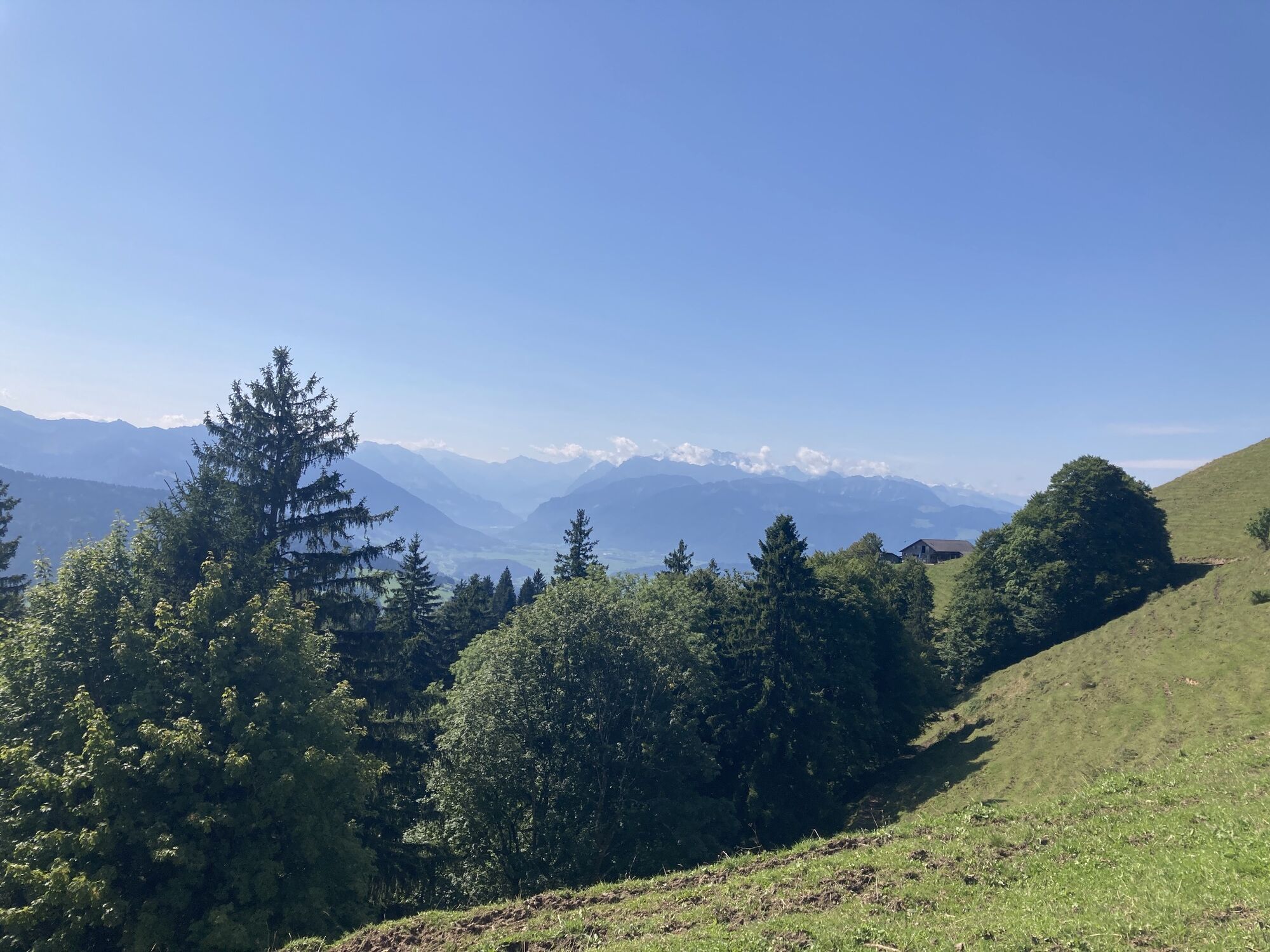
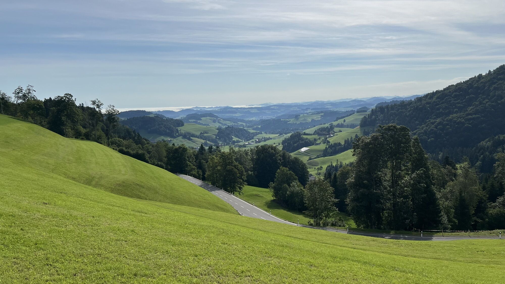
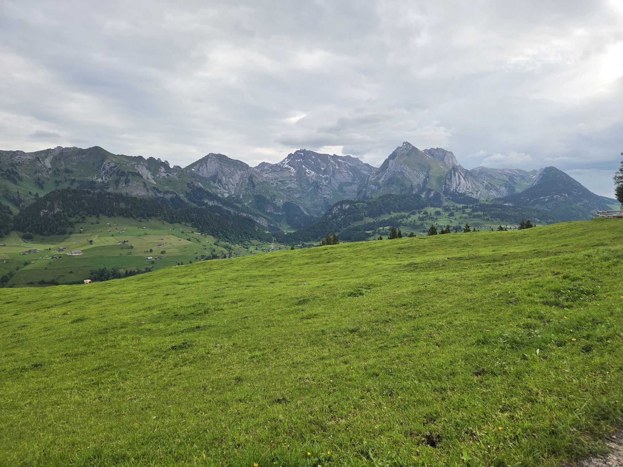
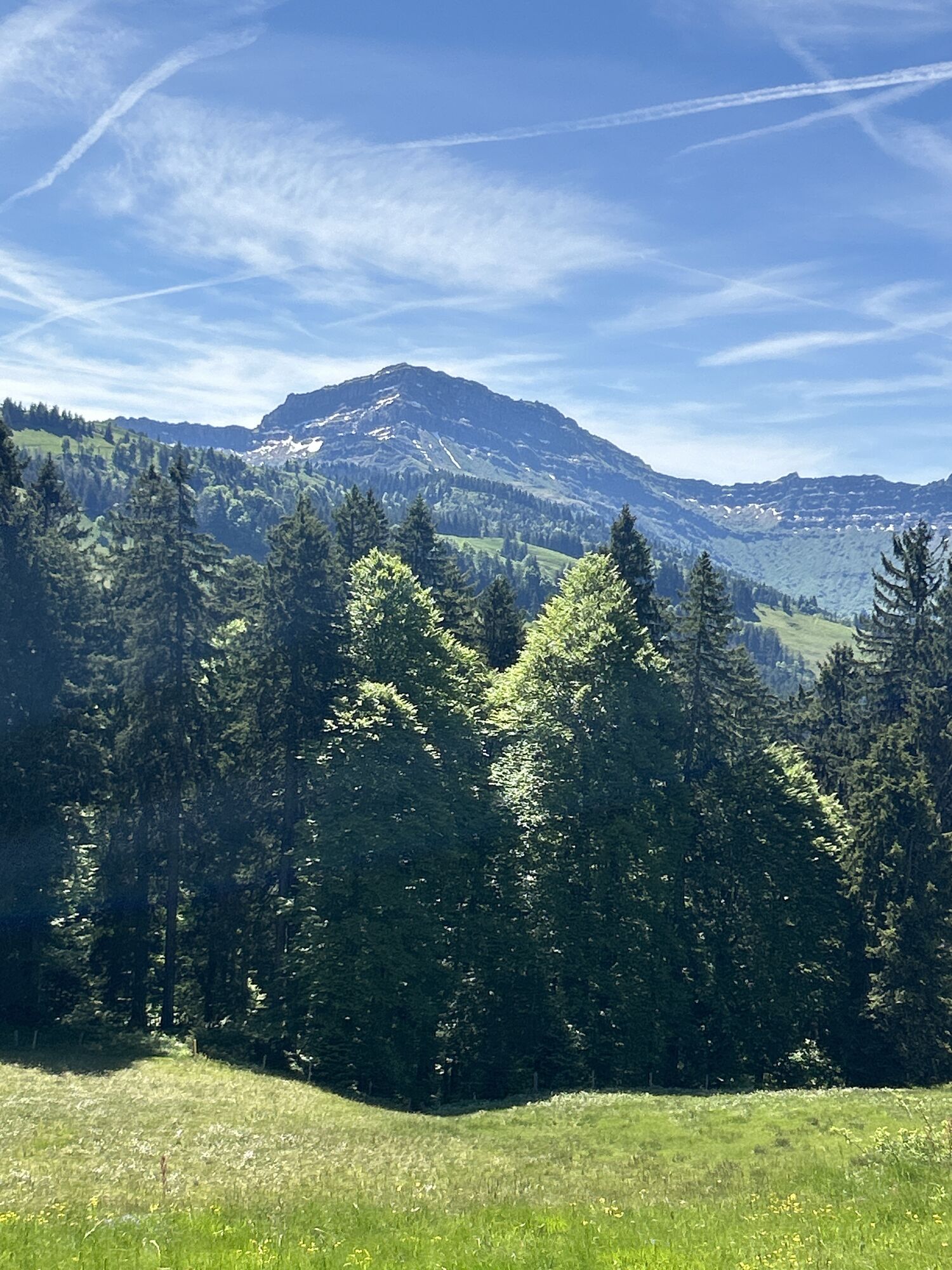

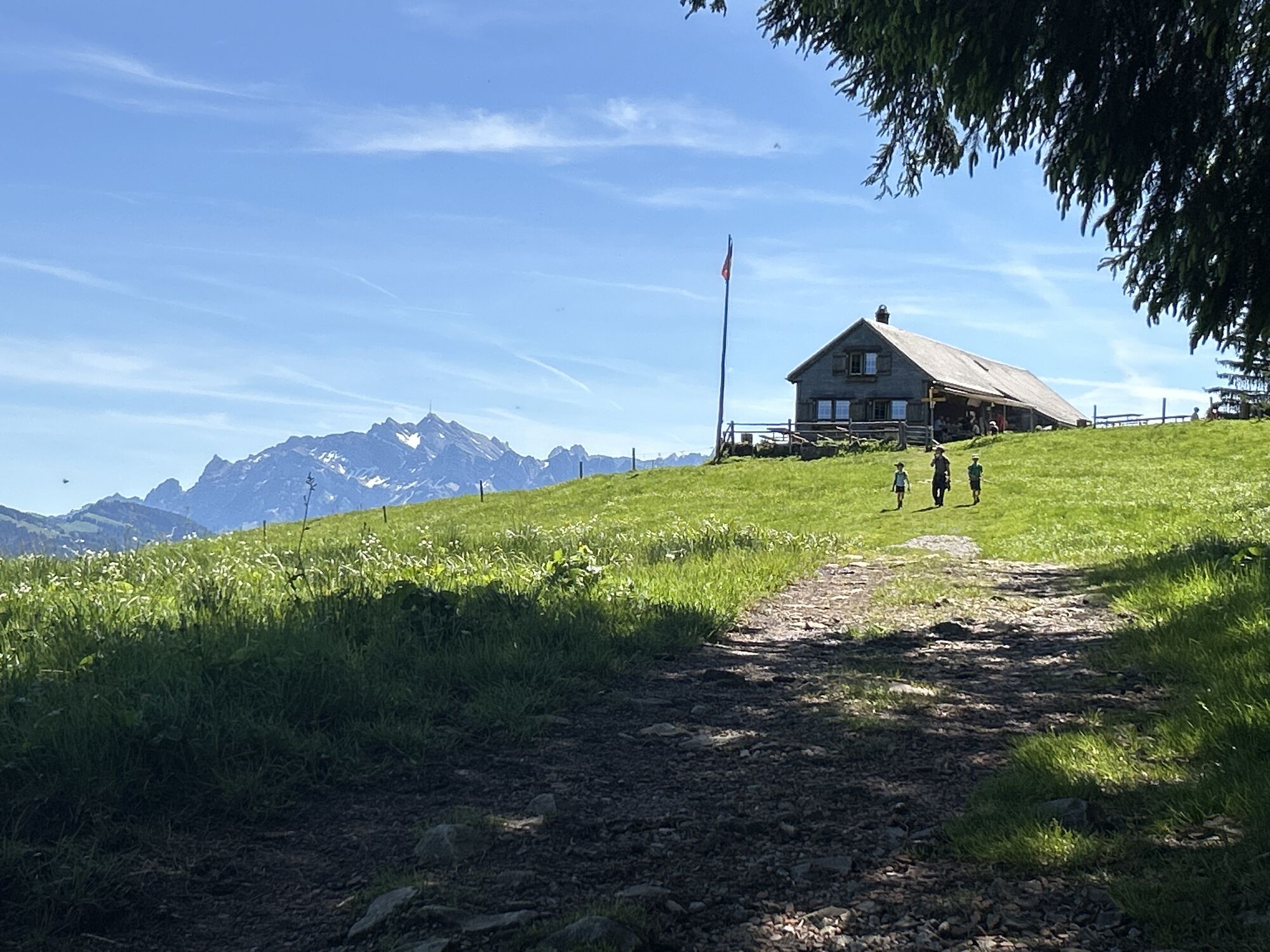
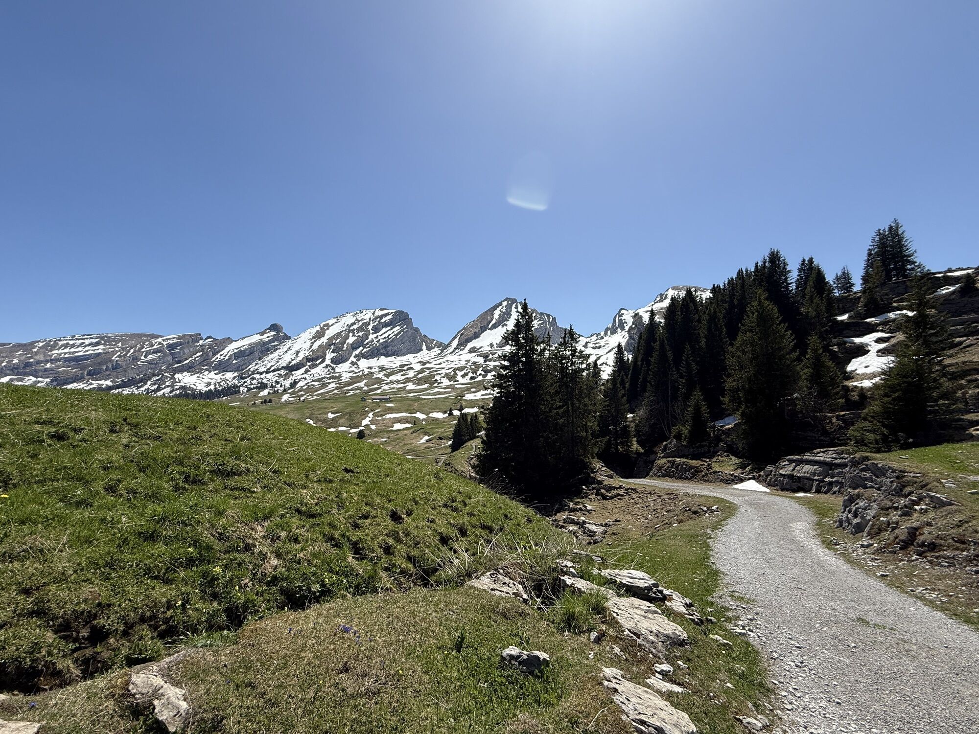


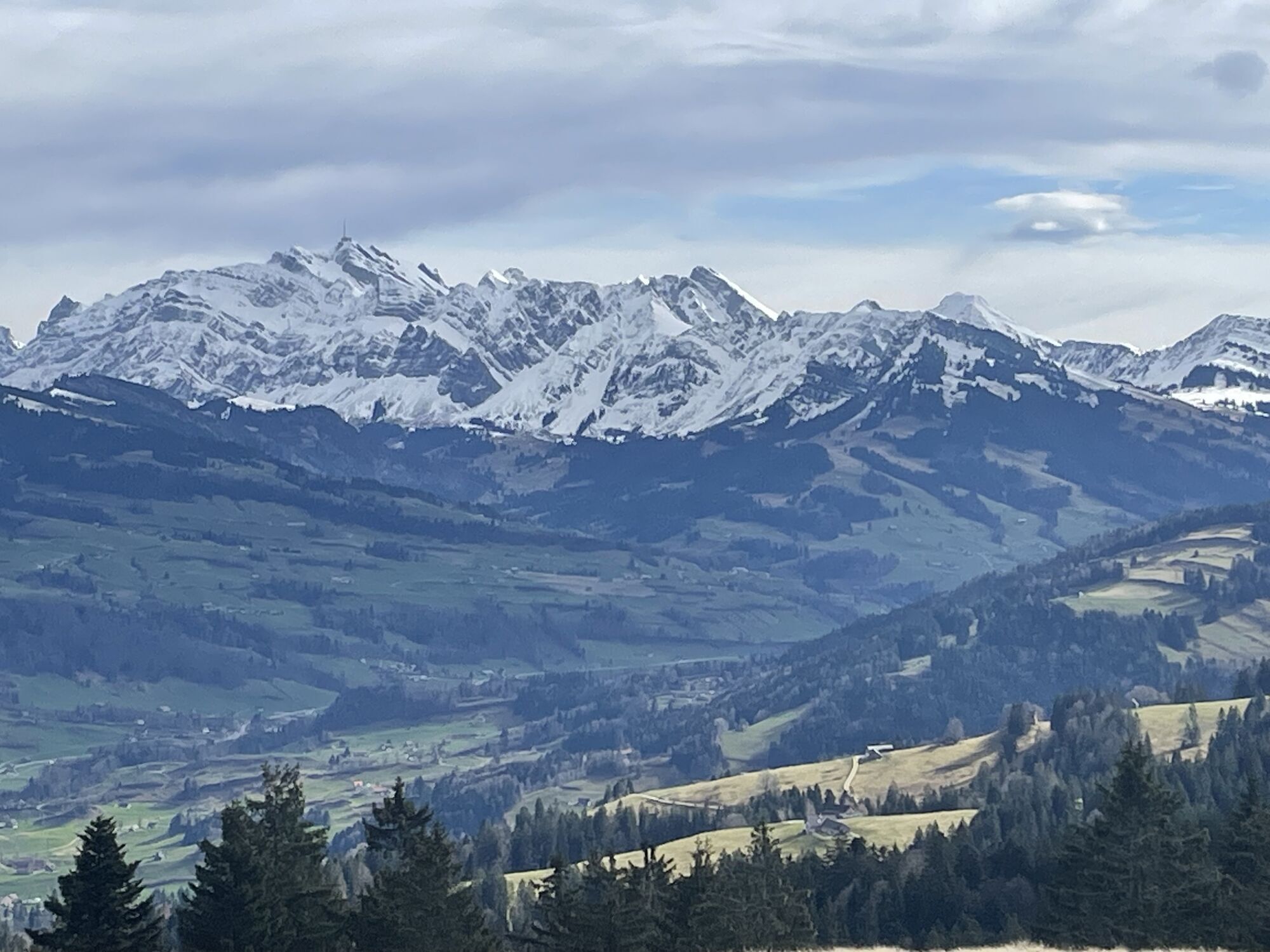
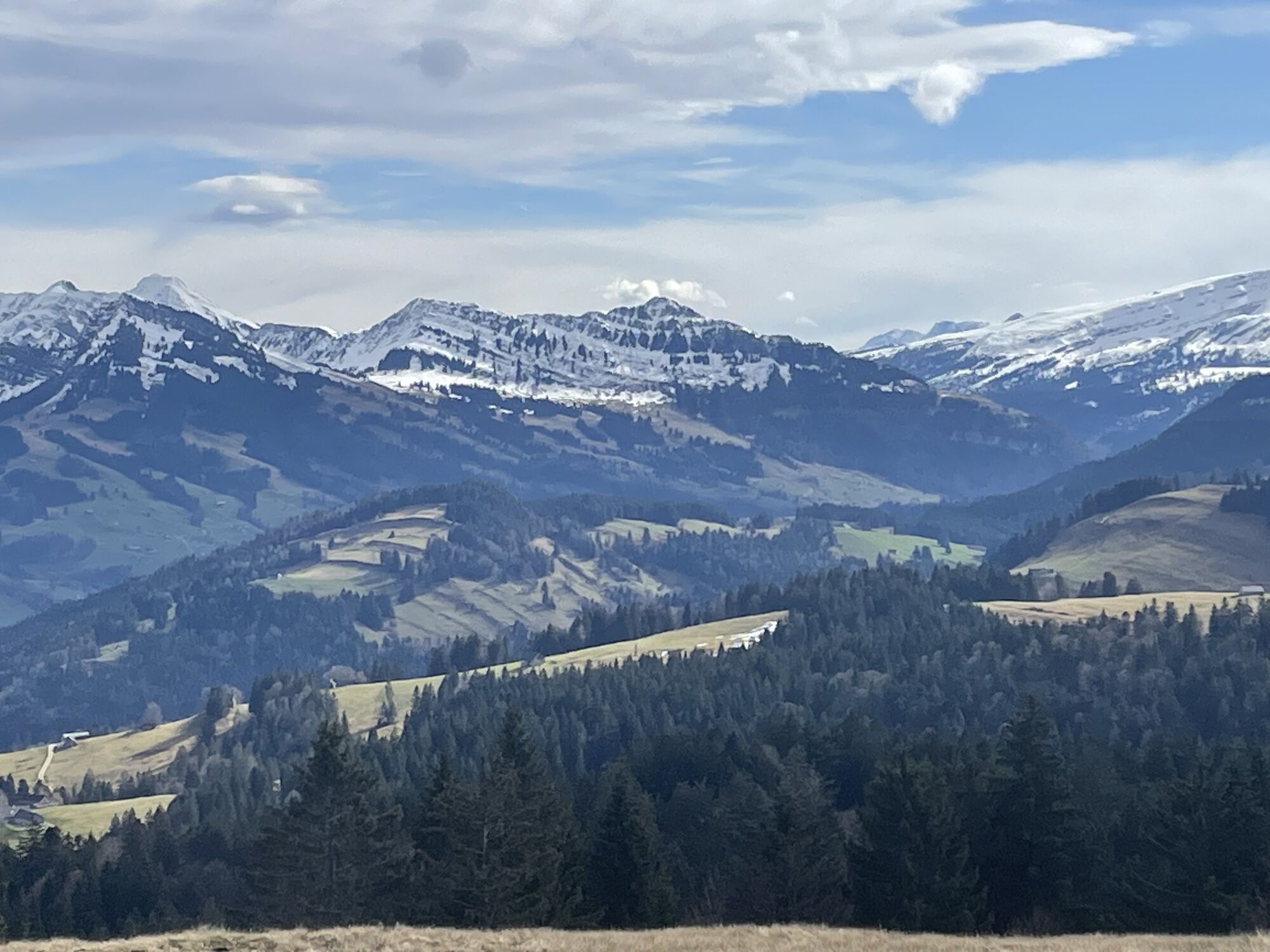
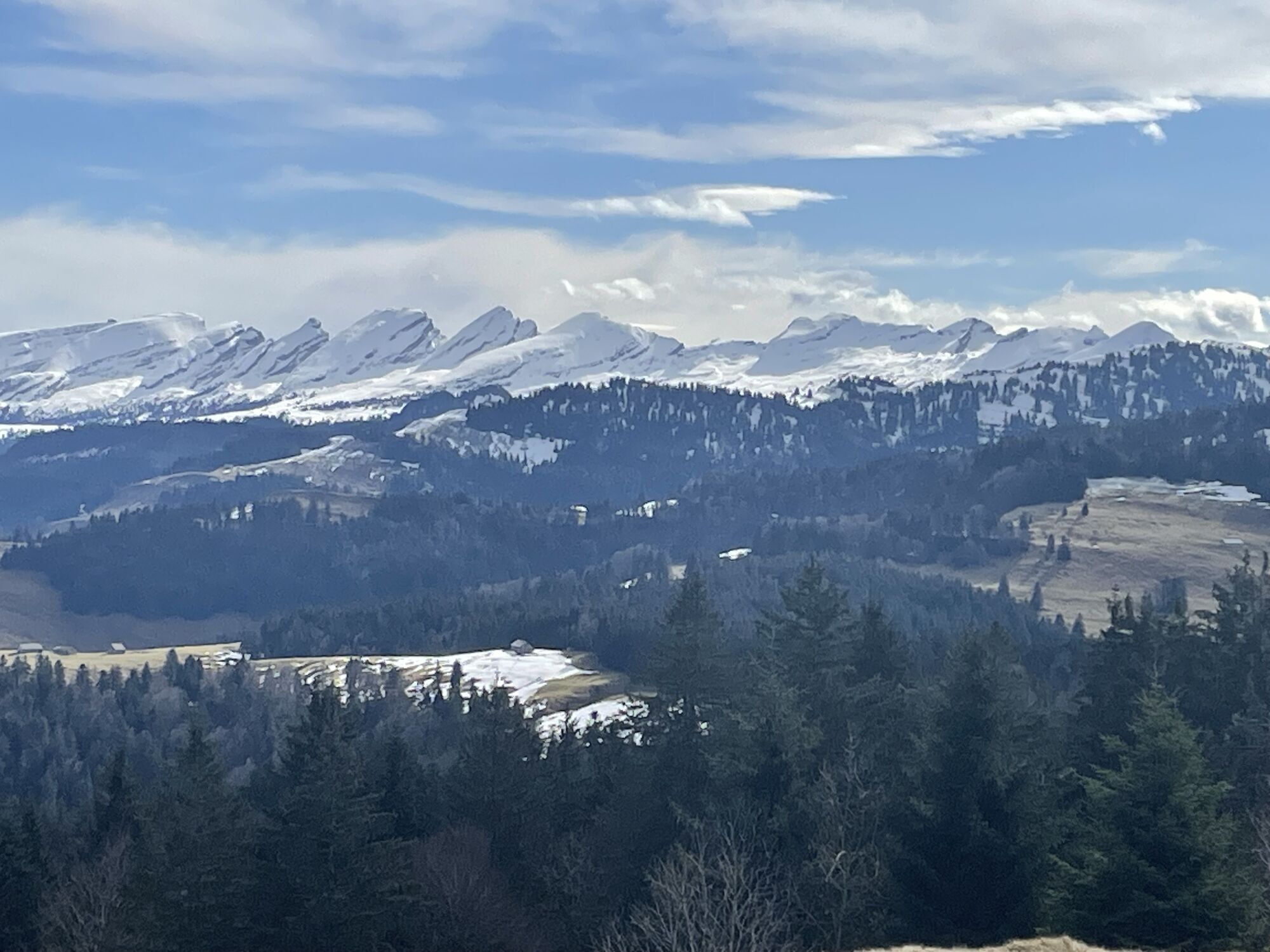
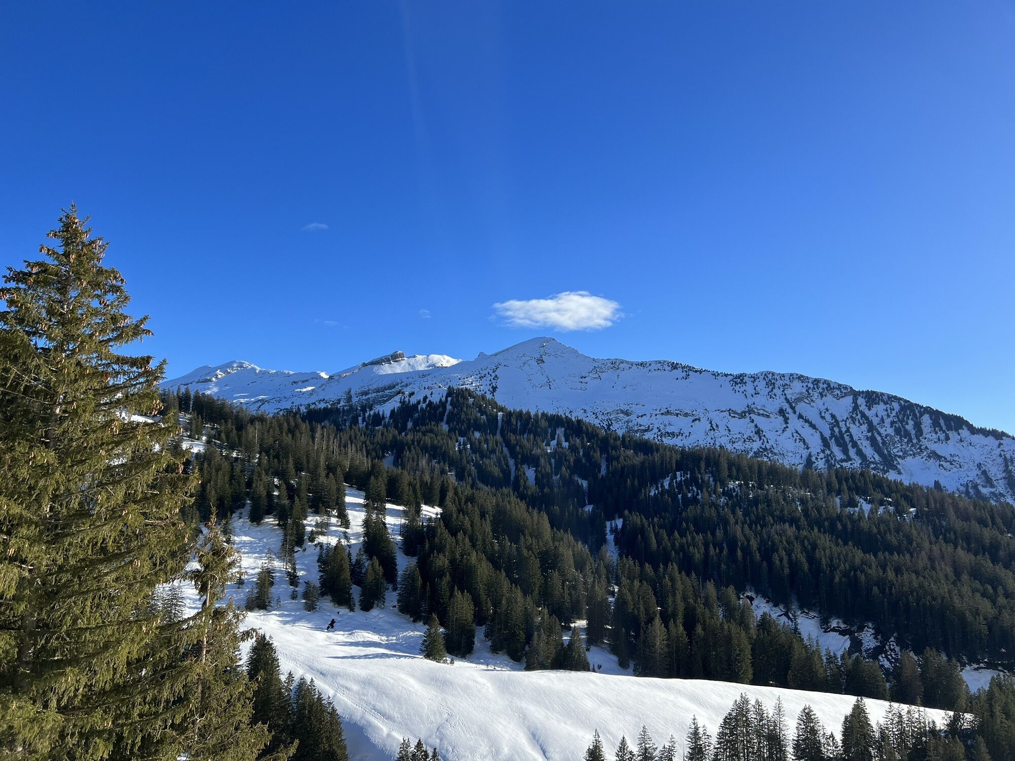


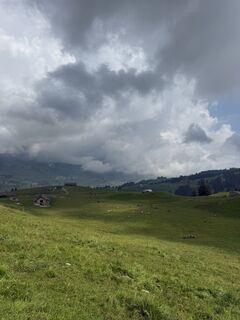
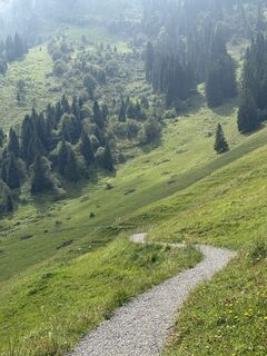
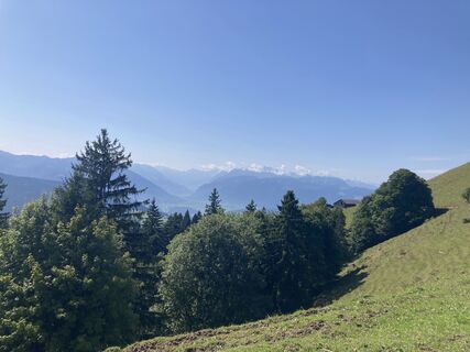
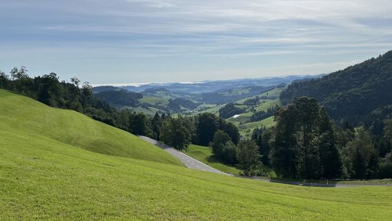
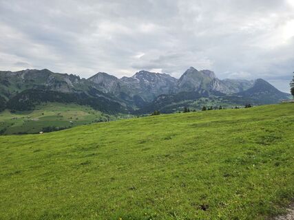
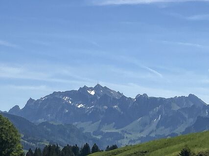
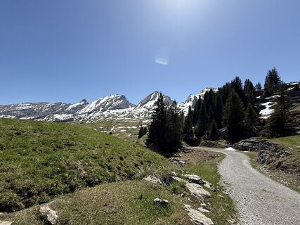
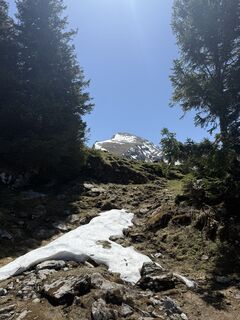
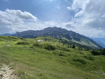
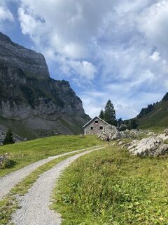
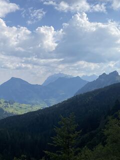
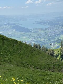
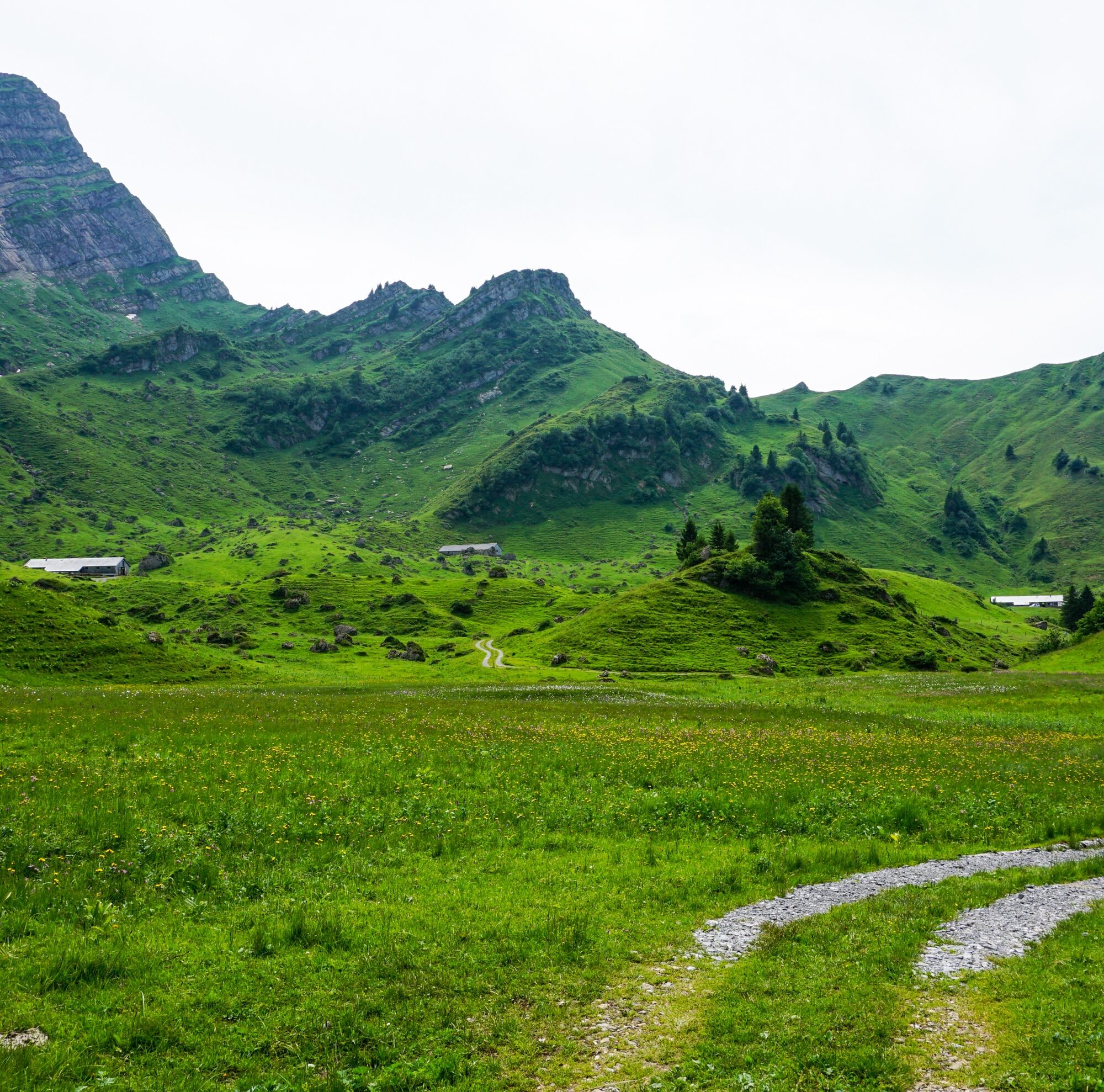
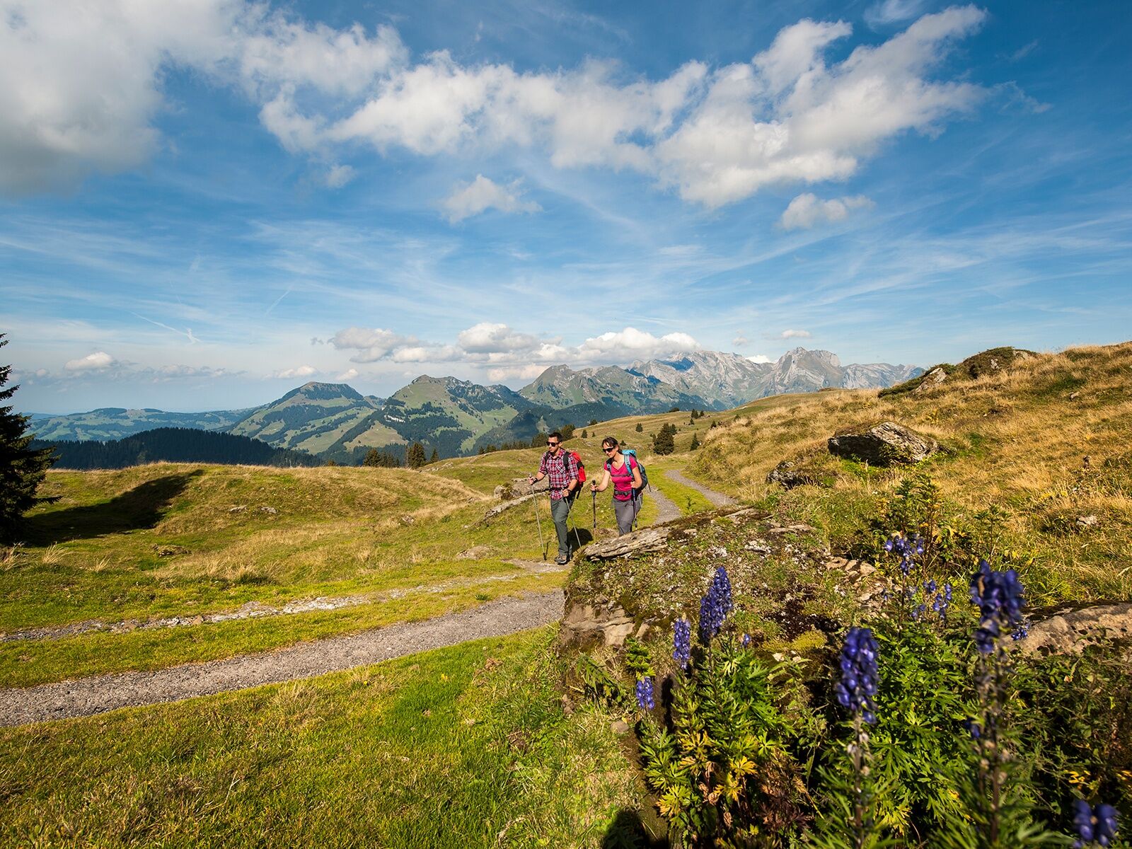
What do the bare numbers matter compared to the emotional moments and unforgettable highlights, which are the reward for this multi-day hike? The memories last forever – regardless of whether you cover...
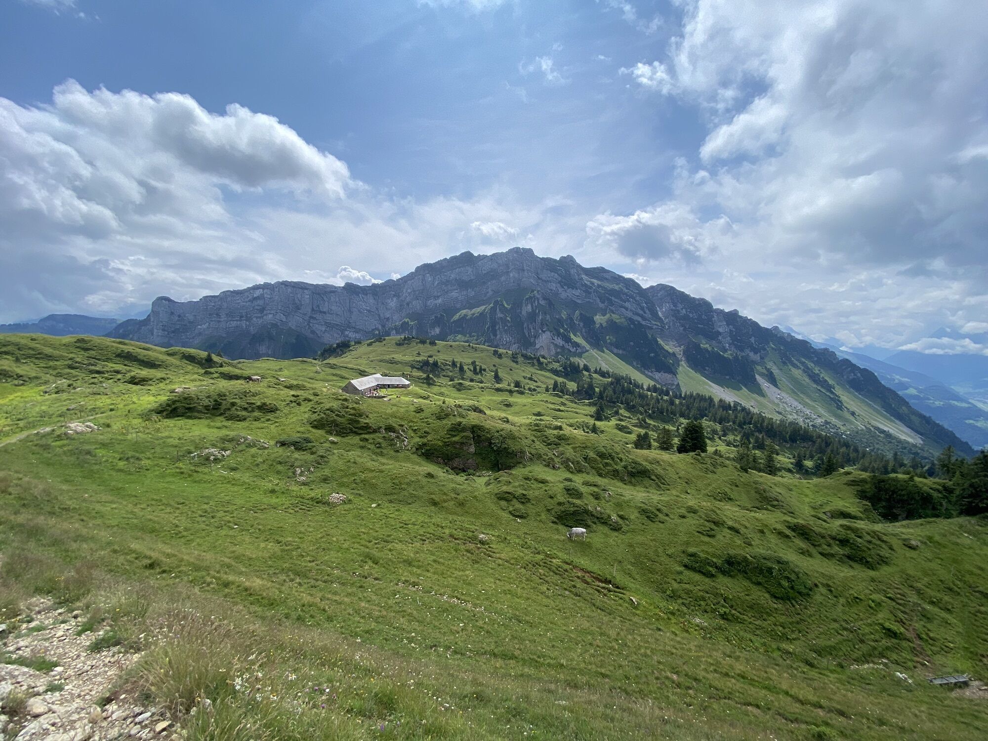
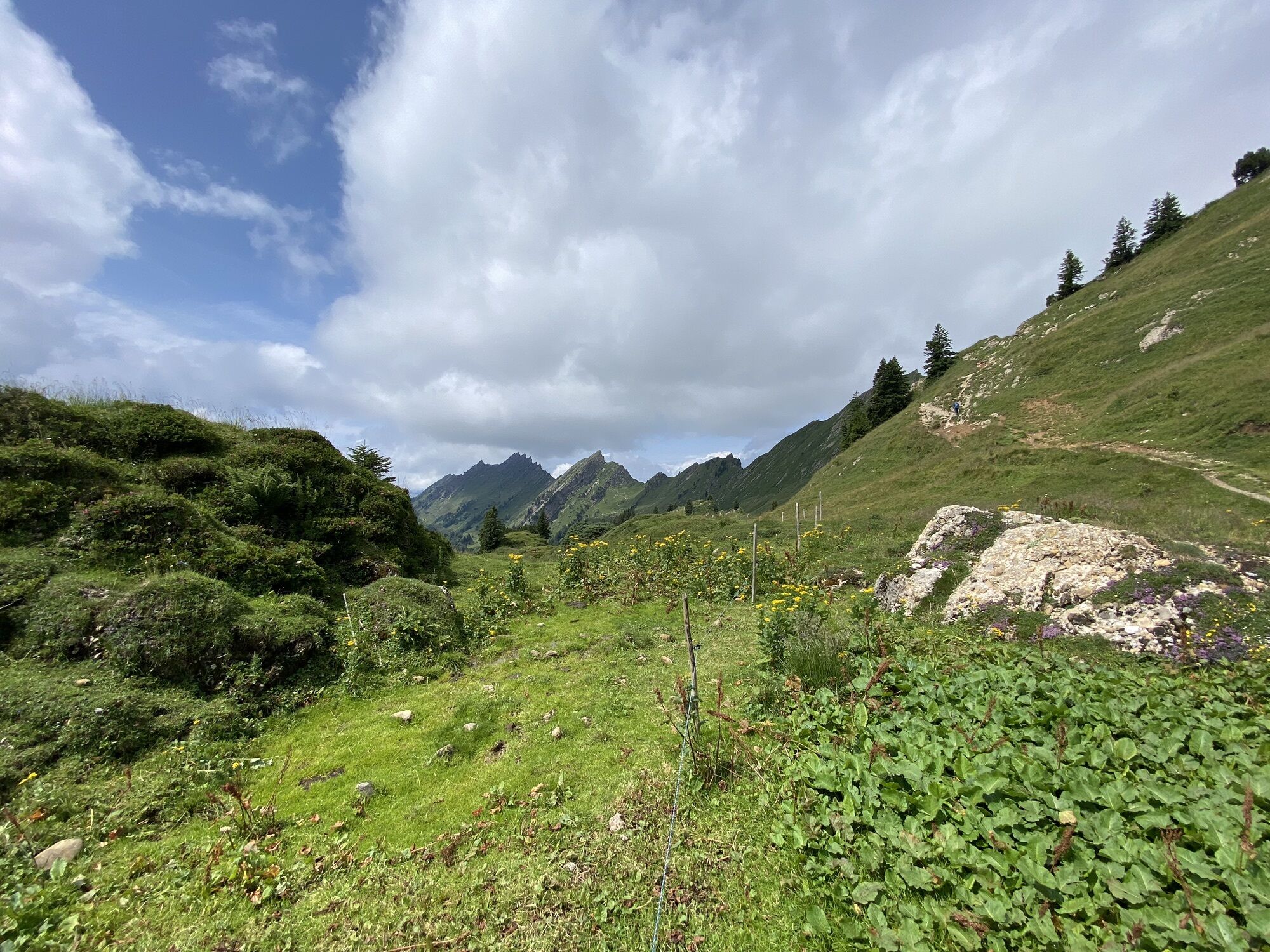
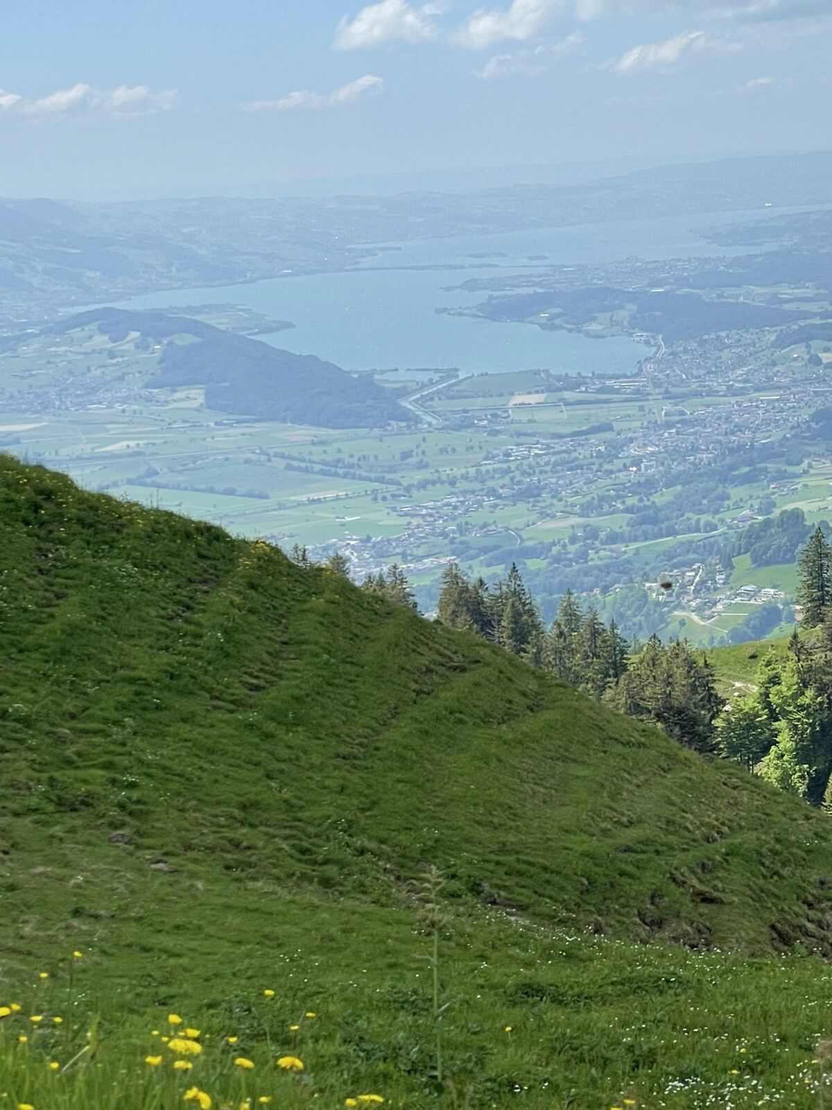
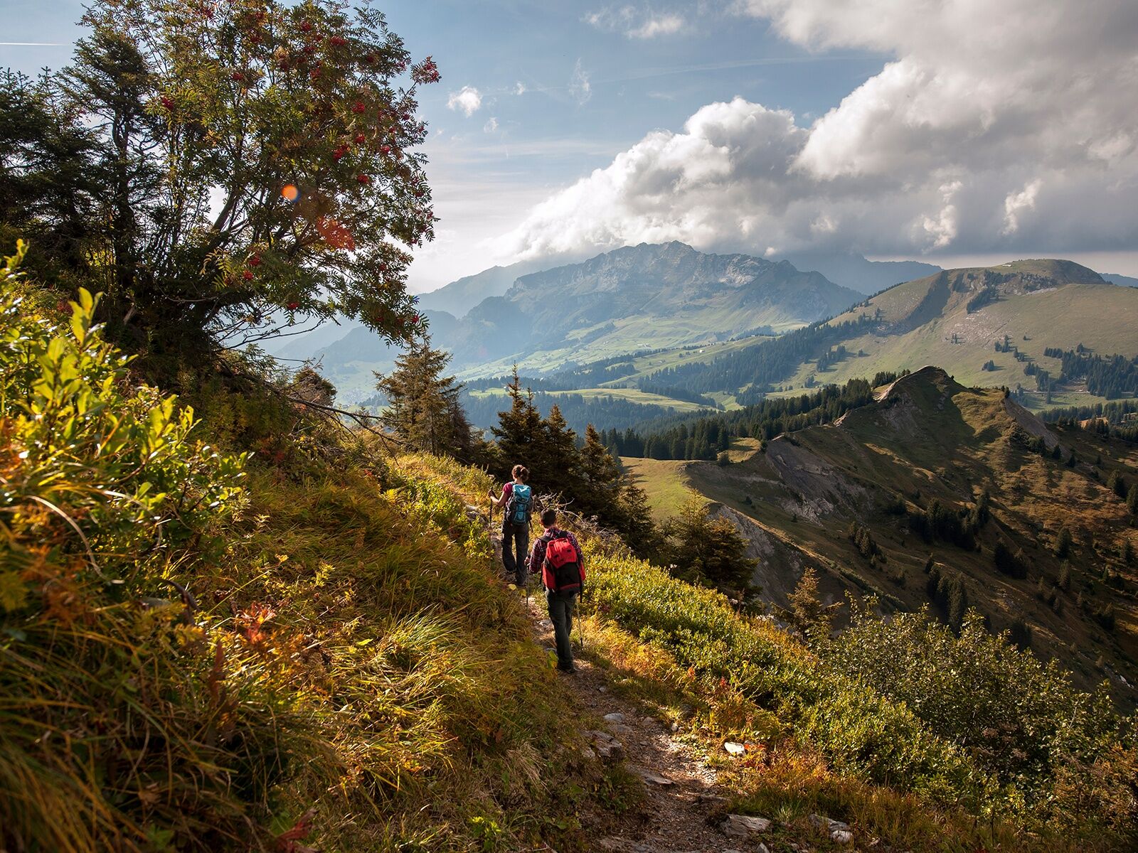
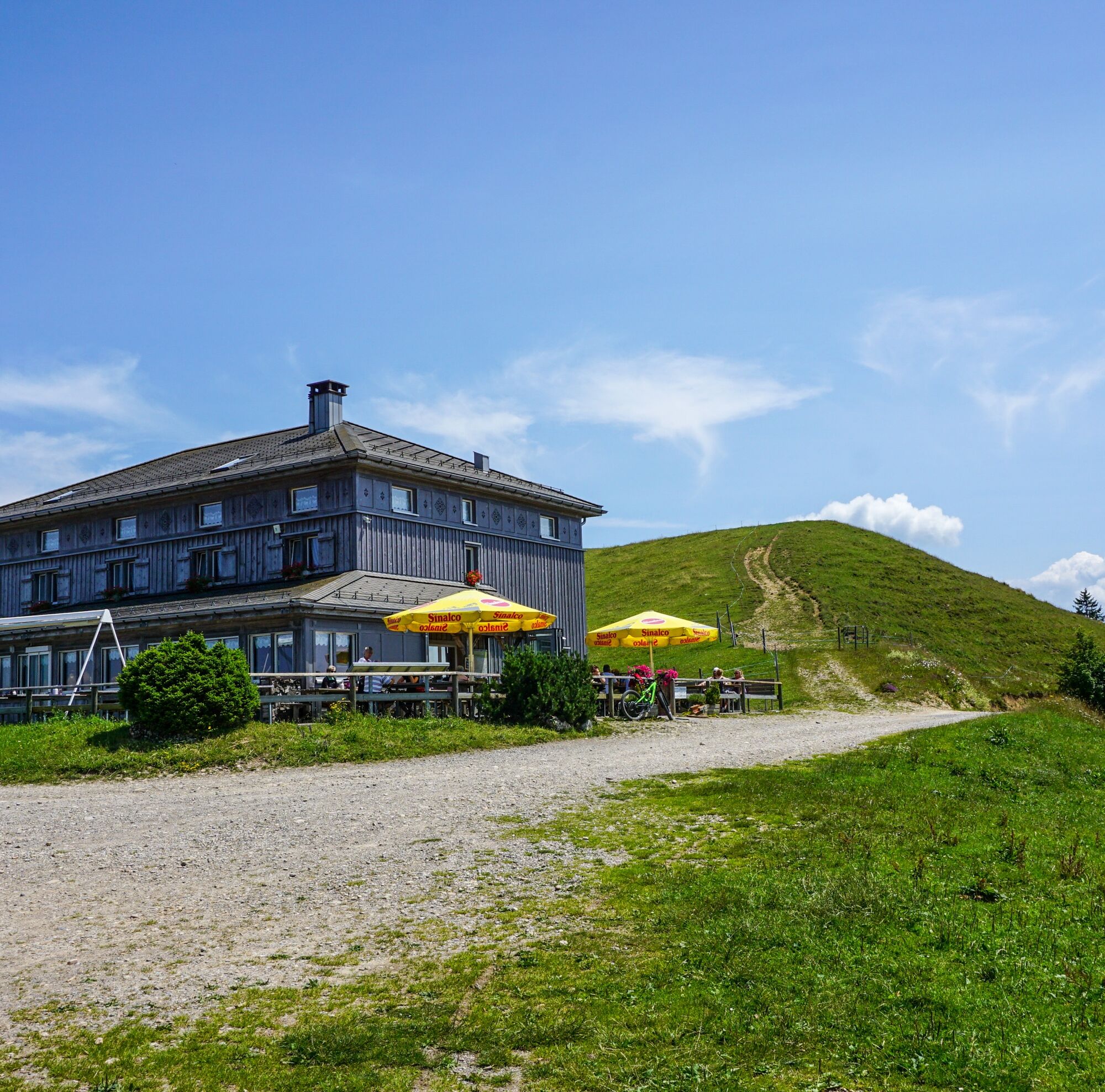
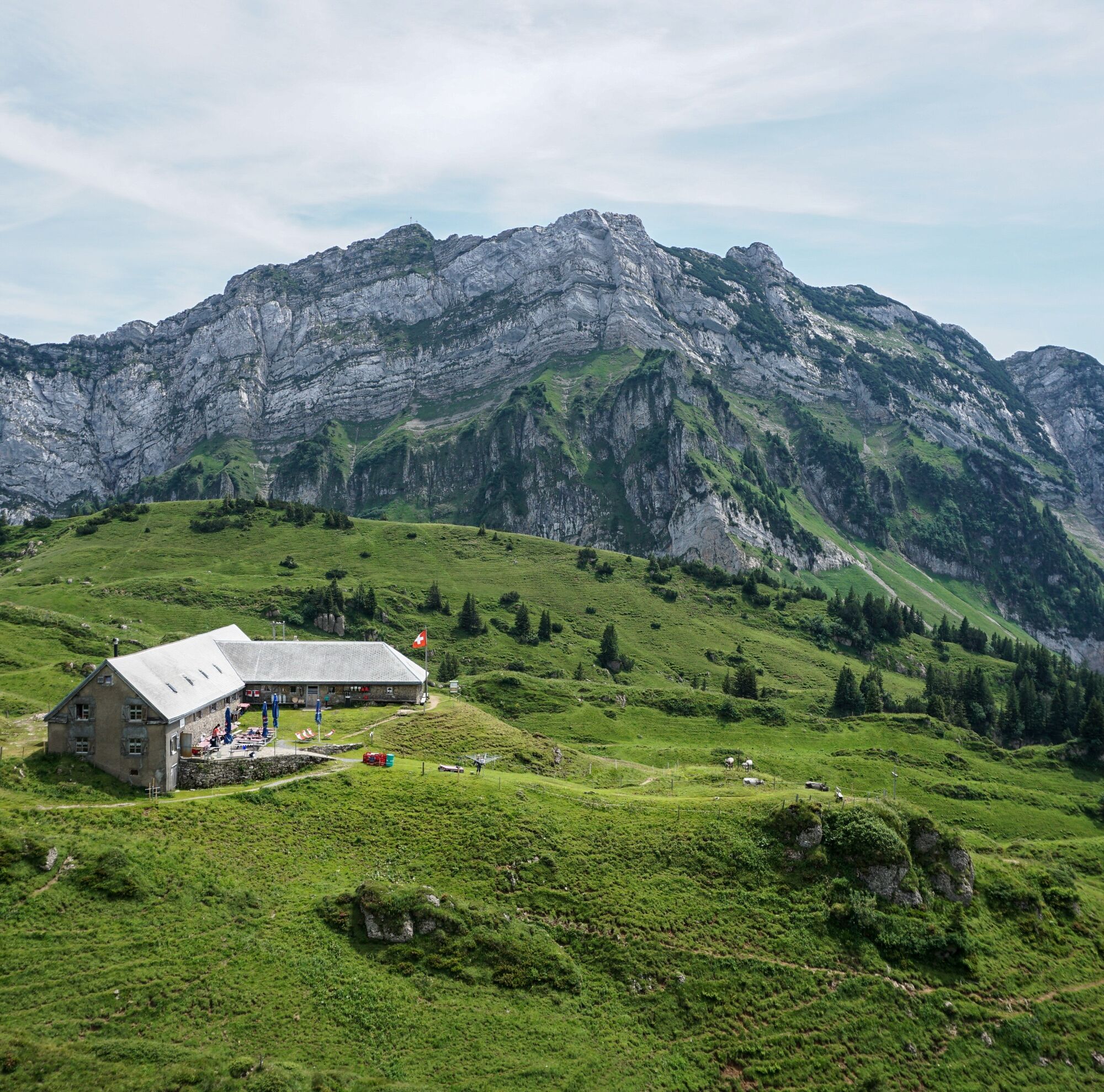
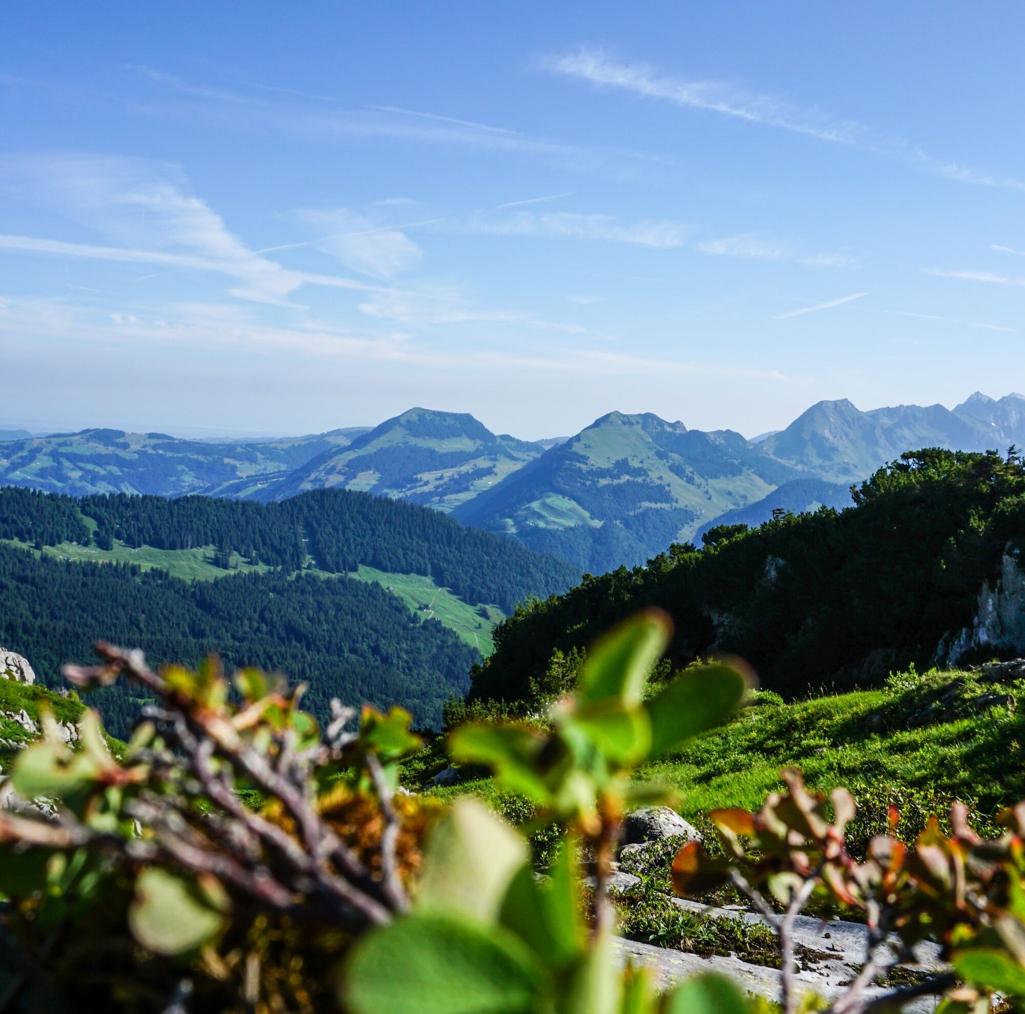
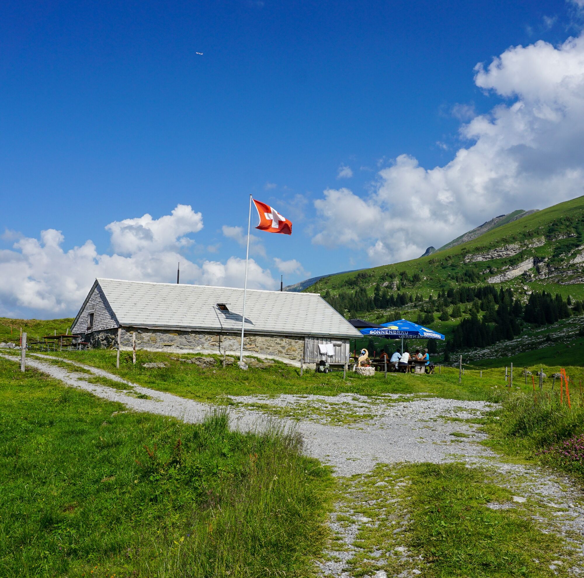
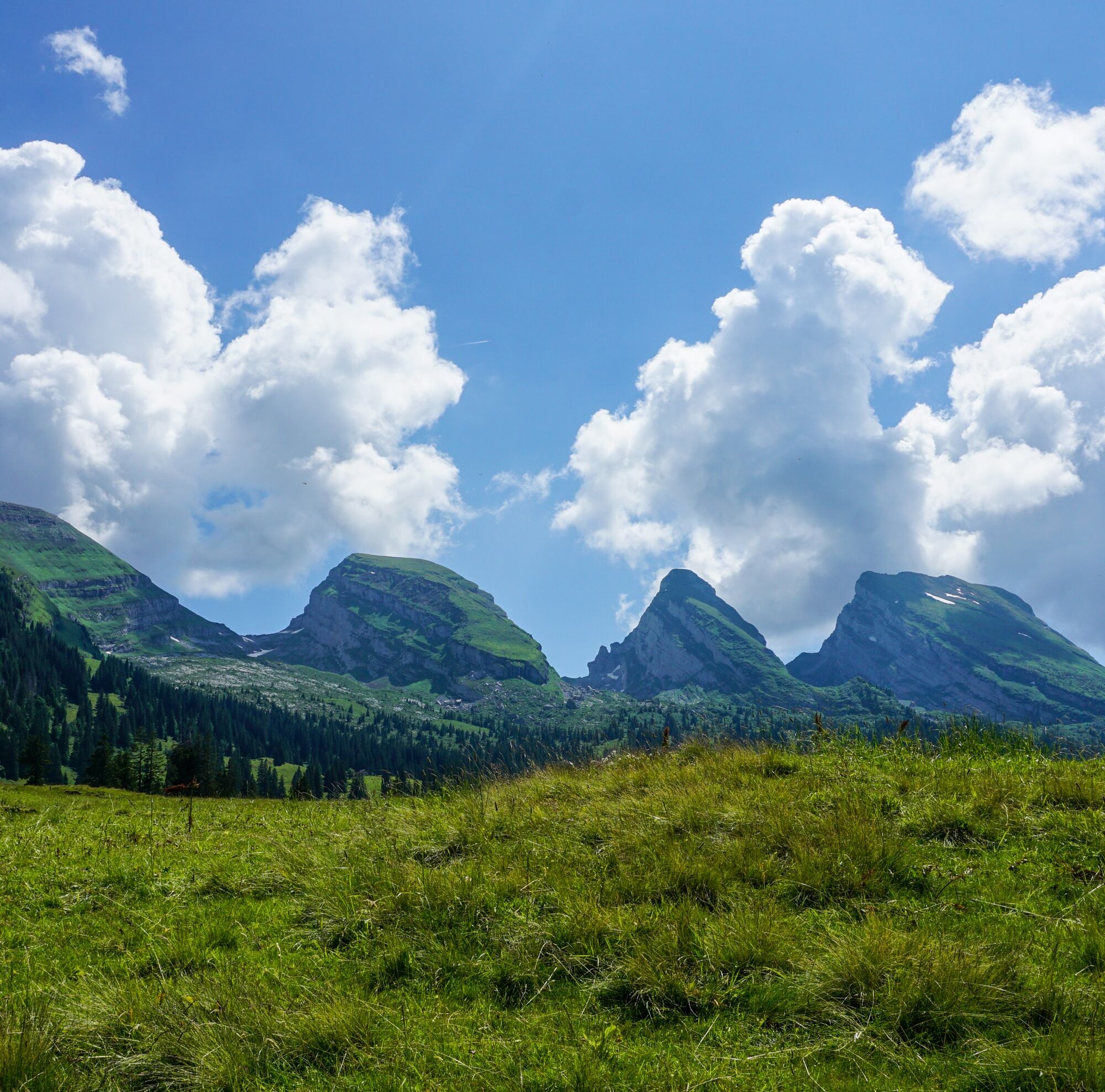
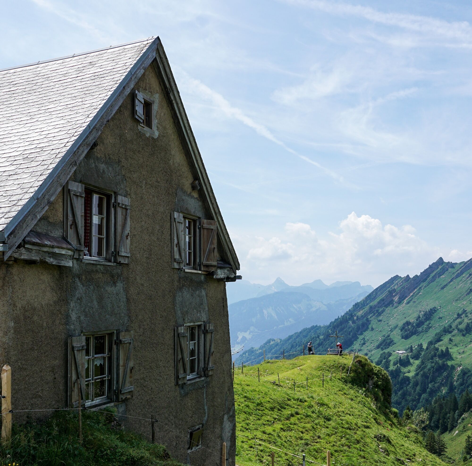
What do the bare numbers matter compared to the emotional moments and unforgettable highlights, which are the reward for this multi-day hike? The memories last forever – regardless of whether you cover the route in stages or in one piece. The Churfirsten – the most iconic mountain peaks in Switzerland – offer a unique backdrop. You hike the Toggenburg in a large arc from east to west. The contrasts could not be greater – from the foot of the rugged mountains through flowery alpine meadows to unique mountain huts and the lovely wooded hills of the lower Toggenburg. As varied as the stages are, they all have one thing in common: there is an incomparable peace that makes you forget everyday life from the moment you start walking in Wildhaus. At the end of each stage, unique accommodations await, where local hosts nurture the culinary and musical heritage of the valley. Toggenburg sounds good – stage by stage.

Trail descriptions can be found under the individual stages.
Da
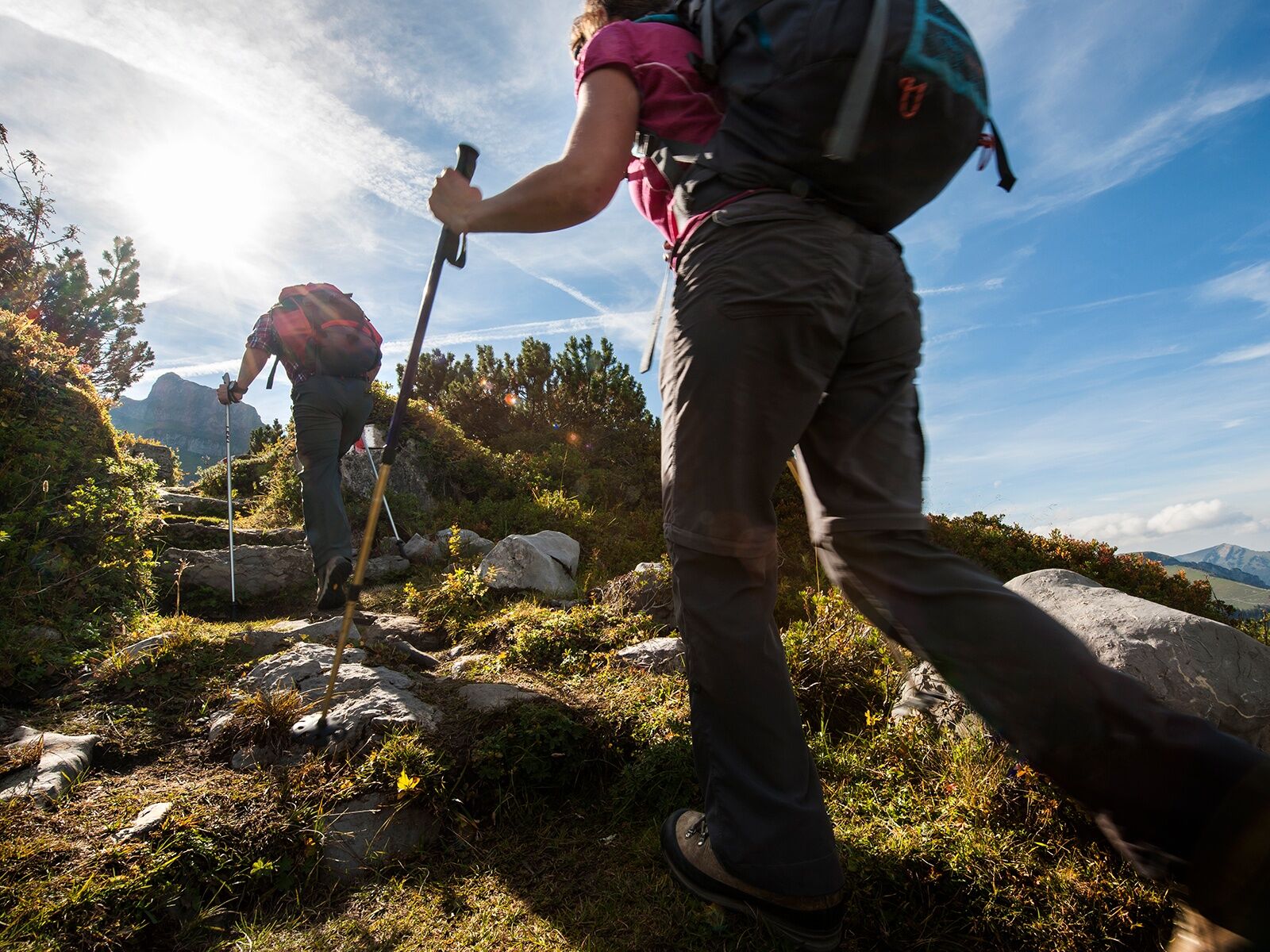
Day hiking backpack (approx. 20 liters) with rain cover, sturdy and comfortable footwear, weather-appropriate and durable multi-layer clothing, trekking poles, sun and rain protection, provisions and drinking water, first aid kit, pocket knife, mobile phone, headlamp, map material, hut equipment, if necessary bivouac sack and rescue blanket
The route is continuously marked and secured.
T3
Toggenburg Tourism
Hauptstrasse 104
CH-9658 Wildhaus
Tel: +41 (0)71 999 99 11
E-mail: info@toggenburg.swiss
Internet: www.toggenburg.swiss or www.toggenburg.swiss/hoehenweg
Binoculars can enable unexpected deep views.
Camere web ale turului
-
Gamsalp - Wildhaus
-
Murg - Segelschule Walensee
-
Atzmännig Talstation
-
Stein
-
Chäserrugg
-
Stein
-
Wiler Turm
-
Atzmännig Bergstation
-
Atzmännig Seilpark
-
Berggasthaus Chrüzegg
-
Iltios - Chäserrugg
-
Arvenbüel, Monte Mio
-
Krummenau - Wolzenalp
-
Wiler Turm
-
Thurloipe Ebnat-Kappel
-
Uetliburg SG
-
Rickenloipe
-
Skilift Fischenthal
-
Bergstation Tanzboden
-
Haus Steinfels
-
Alp Bütz
-
Skilift Wolzenalp
-
Amden, Sesselbahn Mattstock Bergstation
-
Alp Scheidegg
-
Alp Scheidegg
Tururi populare în vecinătate
-
4,5
Amden - Speer (Rundkurs)
luminăExcursie 17,6 km -
4,2
Schnebelhorn Rundwanderung
mediuExcursie 11,9 km -
5,0
Chatzenloch hike with suspension bridge
luminăExcursie 5,91 km -
4,0
Schönengrund - Hochhamm - Schönengrund
mediuExcursie 9,51 km -
Mountain bike route to Schwägalp
greleMountainbike 33,2 km -
4,0
Hike from Stein over Vorder Höhi back to Stein
mediuExcursie 16,9 km -
5,0
Hike from Bernhalden over the Risipass to Nesslau
mediuExcursie 11,6 km -
Wanderung von Hemberg zum Ofenloch
mediuExcursie 10,9 km -
2,7
Hike to the sulfur spring Rietbach
luminăExcursie 8,90 km -
4,5
Hike from Ebnat-Kappel to Tanzboden
mediuExcursie 14,5 km

Drumeții și urmărire


Nu ratați ofertele și inspirația pentru următoarea dvs. vacanță
Adresa dvs. de e-mail a fost adăugat la lista de corespondență.