Untersee, Seerhein, Gnadensee
mediu
Ciclism
Navigați
Navigați
Obțineți acest tur pe telefonul dvs. mobil
Harta
Untersee, Seerhein, Gnadensee
mediu
Ciclism
35,05 km
Scanați codul QR și începeți navigarea în aplicația bergfex
QR Code
Drumeții și urmărire

Untersee, Seerhein, Gnadensee

Distanța
35,05 km
Durată
02:30 h
Ascensiune
48 hm
Nivelul mării
393 - 431 m
Descărcare piesă
Harta
Untersee, Seerhein, Gnadensee
mediu
Ciclism
35,05 km

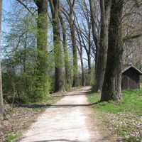
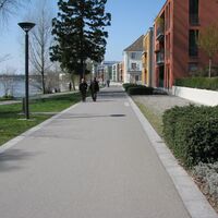
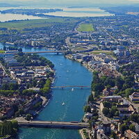
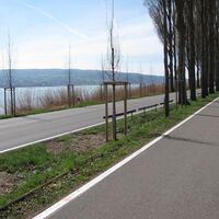
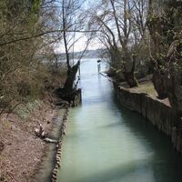
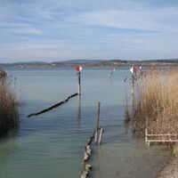
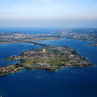
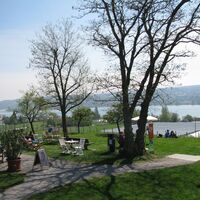
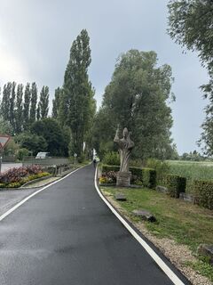
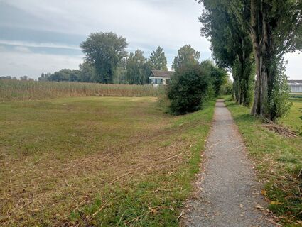
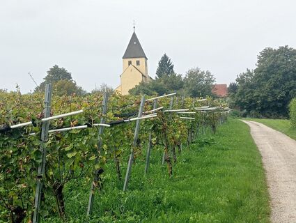
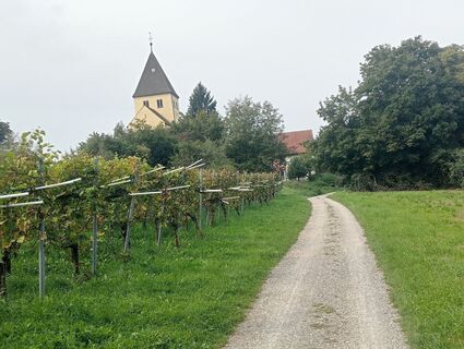
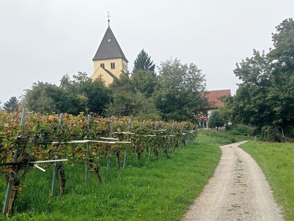
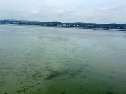
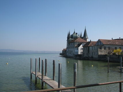
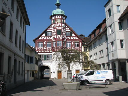
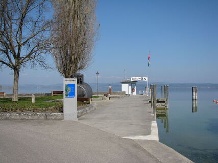
This route touches the southeastern part of the Untersee, the Seerhein, as well as the Wollmatinger Ried. It leads to the sights on the island of Reichenau.

Ruta
Ruta
Harta
Untersee, Seerhein, Gnadensee
mediu
Ciclism
35,05 km
Steckborn
(402 m)
Sat
0,0 km
Jochental
(443 m)
Soluționare
1,1 km
Reformierte Kirche
(398 m)
Lăcaș de cult
2,7 km
Berlingen
(399 m)
Sat
2,8 km
Hirschen
(397 m)
Restaurant
2,8 km
Schiff
(397 m)
Restaurant
2,8 km
Seestern
(398 m)
Restaurant
3,8 km
Almänd
(397 m)
Coridor/terren
5,1 km
Luisebärg
(421 m)
Soluționare
5,1 km
Unterdorf
(399 m)
Vecinătate
5,3 km
Oberdorf
(404 m)
Vecinătate
5,5 km
Seehotel Schiff
(399 m)
Restaurant
5,5 km
Mannenbach-Salenstein
(400 m)
Stație de cale ferată
5,6 km
Pizzeria Lago Mio
(400 m)
Restaurant
5,6 km
Chnebel
(408 m)
Vecinătate
5,7 km
Arenenberg
(459 m)
Soluționare
6,3 km
Salenstein
(495 m)
Sat
6,3 km
Westerfeld
(397 m)
Soluționare
6,9 km
Lankenberg
(427 m)
Vecinătate
7,2 km
Lilienberg
(430 m)
Vecinătate
7,3 km
Breitenstein
(425 m)
Vecinătate
7,5 km
Ermatingen
(410 m)
Sat
7,6 km
Stad
(398 m)
Sat
8,3 km
Triboltingen
(415 m)
Sat
10,6 km
Gottlieben
(400 m)
Sat
12,2 km
Kuhhorn
(396 m)
Coridor/terren
14,0 km
Ziegelhof
(398 m)
Soluționare
14,6 km
Kreuzlingen
(397 m)
Oraș
15,2 km
Paradieskapelle St. Martin
(400 m)
Lăcaș de cult
15,6 km
Constance
(405 m)
Oraș
17,0 km
Unterlohn
(399 m)
Vecinătate
19,5 km
Eichbühl
(406 m)
Vecinătate
21,8 km
Lindenbühl
(411 m)
Vecinătate
22,2 km
Kindlebild
(399 m)
Coridor/terren
22,8 km
Kindlebildkapelle
(399 m)
Lăcaș de cult
22,8 km
St. Georg
(406 m)
Lăcaș de cult
25,7 km
Bei Riebels - offene Fischküche
(400 m)
Restaurant
25,9 km
Mittelzell
(410 m)
Vecinătate
27,4 km
Reichenau
(410 m)
Sat
27,4 km
St. Methodios und Kyrillos
(399 m)
Lăcaș de cult
27,8 km
Georg's Fischerhütte
(401 m)
Restaurant
29,7 km
Niederzell
(398 m)
Vecinătate
30,3 km
Reichenau
(410 m)
Sat
33,0 km
Hochwart
(438 m)
Summit
33,6 km
Solarfähre Reichenau
(395 m)
Scena de debarcare a feribotului
34,9 km
Descrierea

Untersee, Wollmatinger-Ried, Seerhein, Gnadensee

Tehnologie
n.a.
Stare
3 / 6
Peisaj
5 / 6
Experiență
4 / 6
Cea mai bună perioadă a anului
Jan
Feb
Mar
Apr
Mai
Jun
Jul
Aug
Sep
Oct
Noi
Dec
Autor
Furnizat de Westlicher Bodensee
Logo
Tur de partajare
Harta
Untersee, Seerhein, Gnadensee
mediu
Ciclism
35,05 km
Eroare
S-a produs o eroare. Vă rugăm să încercați din nou.
Informații despre traseu
Ruta

From the Gaienhofen landing stage, take the ship of the Untersee and Rhine Shipping Company to cross to Steckborn, timetable at www.urh.ch. From May to September, the Höri ferry also runs between Gaienhofen and Steckborn, timetable at www.schifffahrtlang.de

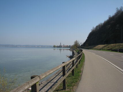
At the end of the town of Steckborn, the well-marked Lake Constance cycle path (direction Kreuzlingen) begins, which you do not leave until the German-Swiss border. Immediately after crossing the border in Konstanz, turn left toward the Rhine bank and follow it under the motorway bridge to the pedestrian bridge, on which you cross the Seerhein. After the bridge, turn left along the promenade to the motorway bridge on the cycle path beside the B33. At the junction to Konstanz-Wollmatingen, turn right and follow the railway line. From here, the cycle path runs next to the railway line to the Kindlebild junction, where you turn toward Reichenau. After the dam, you reach Oberzell and, if you want, the Hochwart (437 m), a great viewpoint in all directions. Depending on the time you have, you can explore the island before returning by ship from Mittelzell to Gaienhofen, timetable at www.urh.ch.

Potrivit pentru familii

Da

Instrucțiuni de siguranță

Carry ID and observe customs regulations

Informații privind sosirea
Călătoria

By car via L192 coming from Radolfzell or Stein am Rhein, turn off towards the lake in the center of Gaienhofen at the Evangelical Melanchthon church.

Transport public

Accessible by ship, see www.urh.ch. Although the Höri bus 7368 stops in Gaienhofen, it does not carry bicycles.

Parcare

Paid parking available on Schloßstraße. Free parking at Höri-Halle Gaienhofen, Schulstraße

Informații suplimentare și sfaturi
Informații suplimentare

Alternatively, you can return from the Reichenau ship landing stage to Iznang with the VSU scheduled ship. Timetable at www.bsb.de

Încă nu există recenzii
Scrieți o recenzie

Comentariile ajută alți utilizatori să își aleagă următoarea aventură. Vă rugăm să evaluați doar turul, nu și vremea sau gustarea dumneavoastră.

Selectați una dintre stele pentru a evalua turul
Tur rău
Tur slab
Tur mediocru
Tur bun
Tur excelent
bergfex logo Obțineți informații Întotdeauna live la fața locului cu peste 9.500 de camere web. bergfex Ca utilizator Pro, acum puteți vedea camerele web corespunzătoare pentru multe tururi în aplicația tururi de la. Acest lucru vă permite să vizualizați direct condițiile actuale.
Drumeții și urmărire

Drumeții și urmărire

Drumeții și urmărire
Peste 550.000 de sugestii de excursii, hărți detaliate și un planificator de traseu intuitiv fac din această aplicație un must-have pentru toți pasionații de natură.
Drumeții și urmărire