


Windhagberg Circular Trail


From the centre of the village, the trail leads up the slope of the Freinberg to the Kleinternbergalm and Großternbergalm, on to the Koglerhof and Brettmaisserhof and then in the direction of Windhagberg...
From the centre of the village, the trail leads up the slope of the Freinberg to the Kleinternbergalm and Großternbergalm, on to the Koglerhof and Brettmaisserhof and then in the direction of Windhagberg past the Raschlhöhe back to the starting point.
Trail number: E81

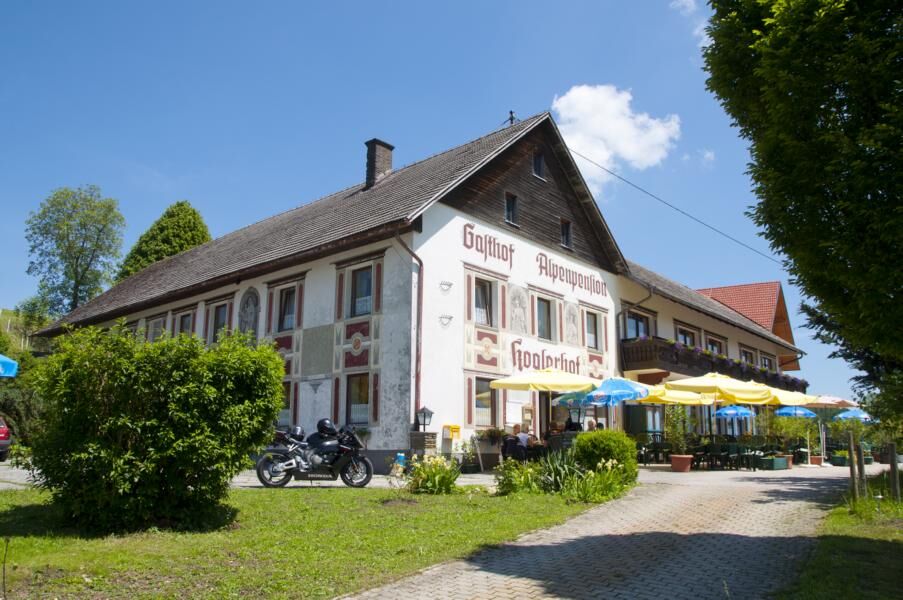
At the former Kopf inn on the federal road 115, a well-developed forest path leads along the slope of the Freinberg. After a few minutes' walk, the path branches off to the left to the flag and on to the Kleinternbergalm. The road now leads to the Großternbergalm, where the hiking trail leads back into an alpine path and leads to the Gasthof Koglerhof. It's a few minutes' walk to just before the Brettmaisserhof. Here the path branches off to the right in the direction of Windhagberg. Along the ridge, through the forest, you finally reach the road again at the Raschlhöhe. After a short stretch on the asphalt road, the path finally leads along a ridge path to the starting point.
The described way back "Gratweg" requires a high degree of surefootedness and should only be attempted by very fit mountain hikers! Alternatively, stay on the goods road (asphalt) for about 500 m on the way back and then turn left into the forest road, where the path meets the "Gratweg" again.
The described way back "Gratweg" requires a high level of surefootedness and should only be attempted by very fit mountain hikers!
Alternatively, stay on the goods road (asphalt) for about 500 m on the way back and then turn left into the forest road, where the path meets the "Gratweg" again.
From Salzburg/Linz: A1 motorway exit Enns-Steyr > B115 into the Enns Valley
From Vienna: A1 motorway exit Haag > B42 > B122 > B115 into the Enns Valley
From Passau: A8 Passau > Wels > A1 motorway exit Enns-Steyr > B115 into the Enns Valley
From Graz: A9 Pyhrnautobahn > motorway exit Klaus > Grünburg > into the Ennstal Valley
The Ennstalbahn runs between Linz and Weißenbach-St. Gallen.
Details at www.ooevv.at
Railway Stations are located in Steyr, Garsten, Lahrndorf, Dürnbach, Ternberg, Trattenbach, Losenstein, Reichraming, Großraming, Gaflenz, Weyer, Küpfern, Kastenreith, Kleinreifling and Weißenbach-St. Gallen.
Ternberg/center
Climate-friendly to the National Park Region - railway station Trattenbach: By train you can reach the starting point for this hike in about 1 hour from Linz and in about 2.5 hours from Vienna.
Camere web ale turului
Tururi populare în vecinătate
-
4,6
Steinerner Jäger (1185m) und Schieferstein (1206m) ab Parkplatz Hochhabichler
mediuExcursie 4,46 km -
4,4
Ternberg -Schoberstein
mediuExcursie 6,60 km -
4,3
Dürres Eck - Gaisberg - Hochbuchberg
mediuExcursie 11,2 km -
4,6
Pfaffenmauer - Schoberstein - Gipfel der Lust Gasthof Klausriegler, Oberösterreich/Österreich
mediuExcursie 9,72 km -
4,7
Kleiner und Großer Landsberg (3.7.2019) mit Sonnenuntergang
mediuExcursie 3,51 km -
4,0
Schieferstein und Steinerner Jäger von Reichraming, Oberösterreich
mediuExcursie 3,82 km -
4,7
Enns Active Trail Ternberg
mediuExcursie 4,85 km -
4,8
Schoberstein via Trattenbach/Gasthaus Klausriegler
mediuExcursie 2,60 km -
3,7
Schoberstein via Trattenbach/railway station
luminăExcursie 5,53 km -
4,3
Rinnerberger Wasserfall - Klamm
mediuExcursie 7,55 km
Drumeții și urmărire


Nu ratați ofertele și inspirația pentru următoarea dvs. vacanță
Adresa dvs. de e-mail a fost adăugat la lista de corespondență.