


L4 Borseerunde


The loop to the Schleifenbach-Klause is 18 km long and has 697 m of ascent. The route leads almost exclusively along well-maintained forest roads except for a small section at the Kogleralm.

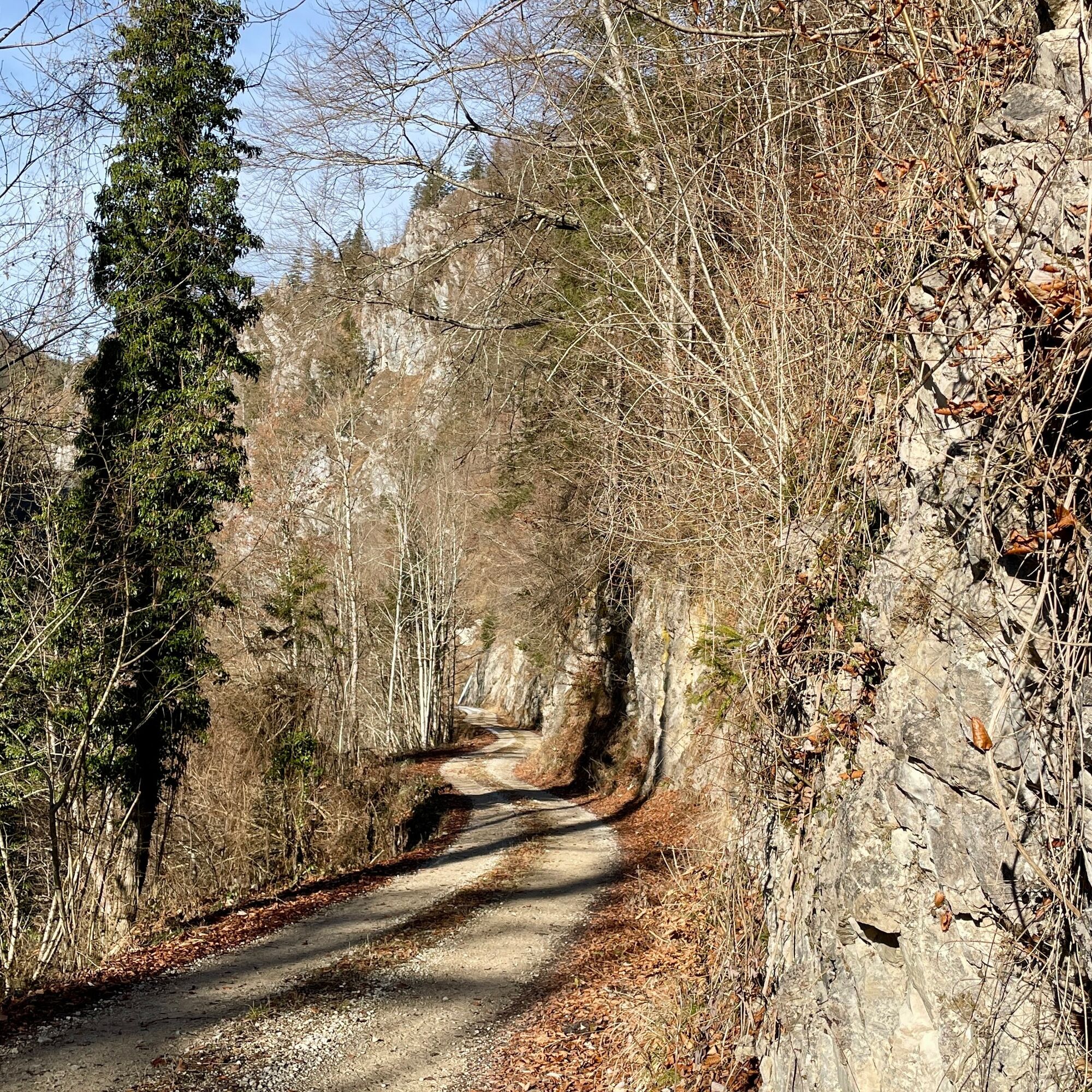
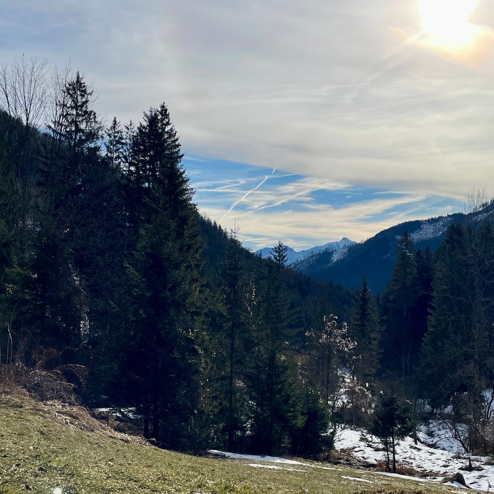
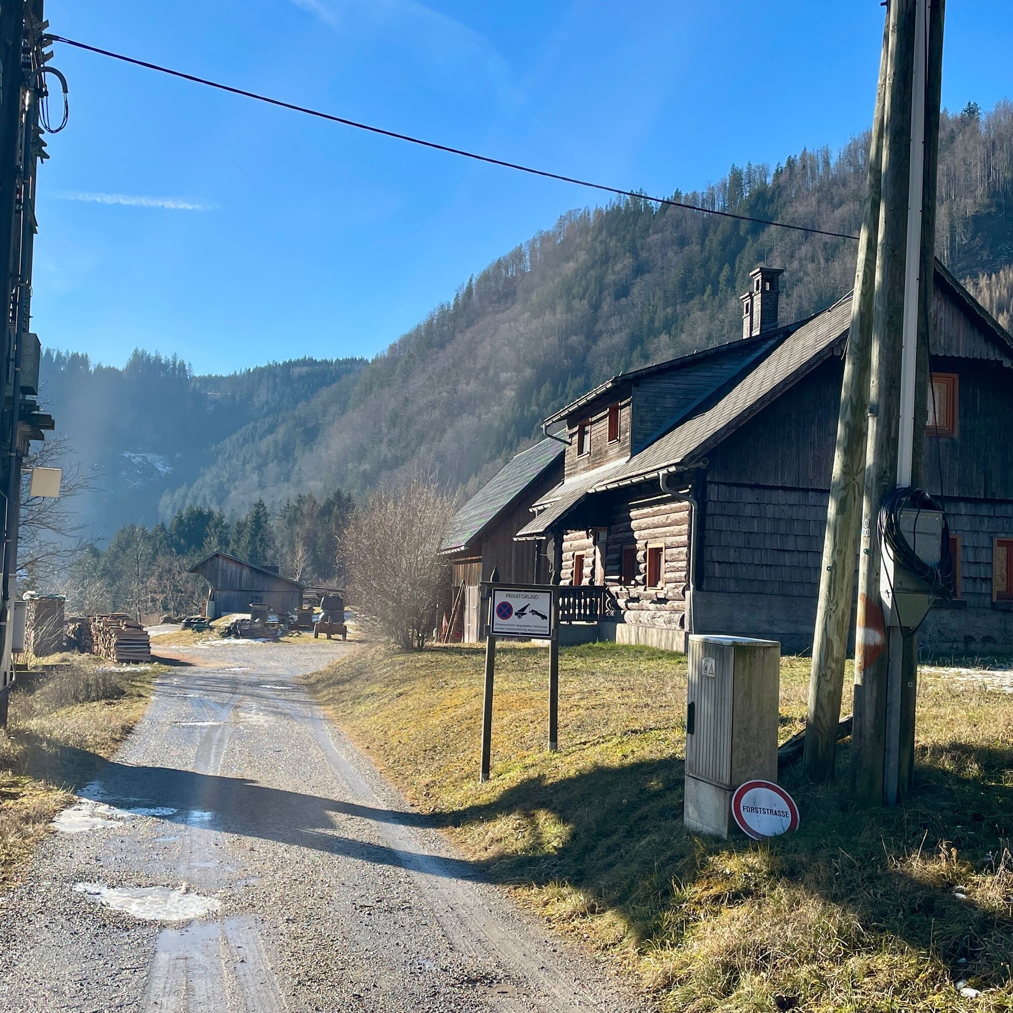
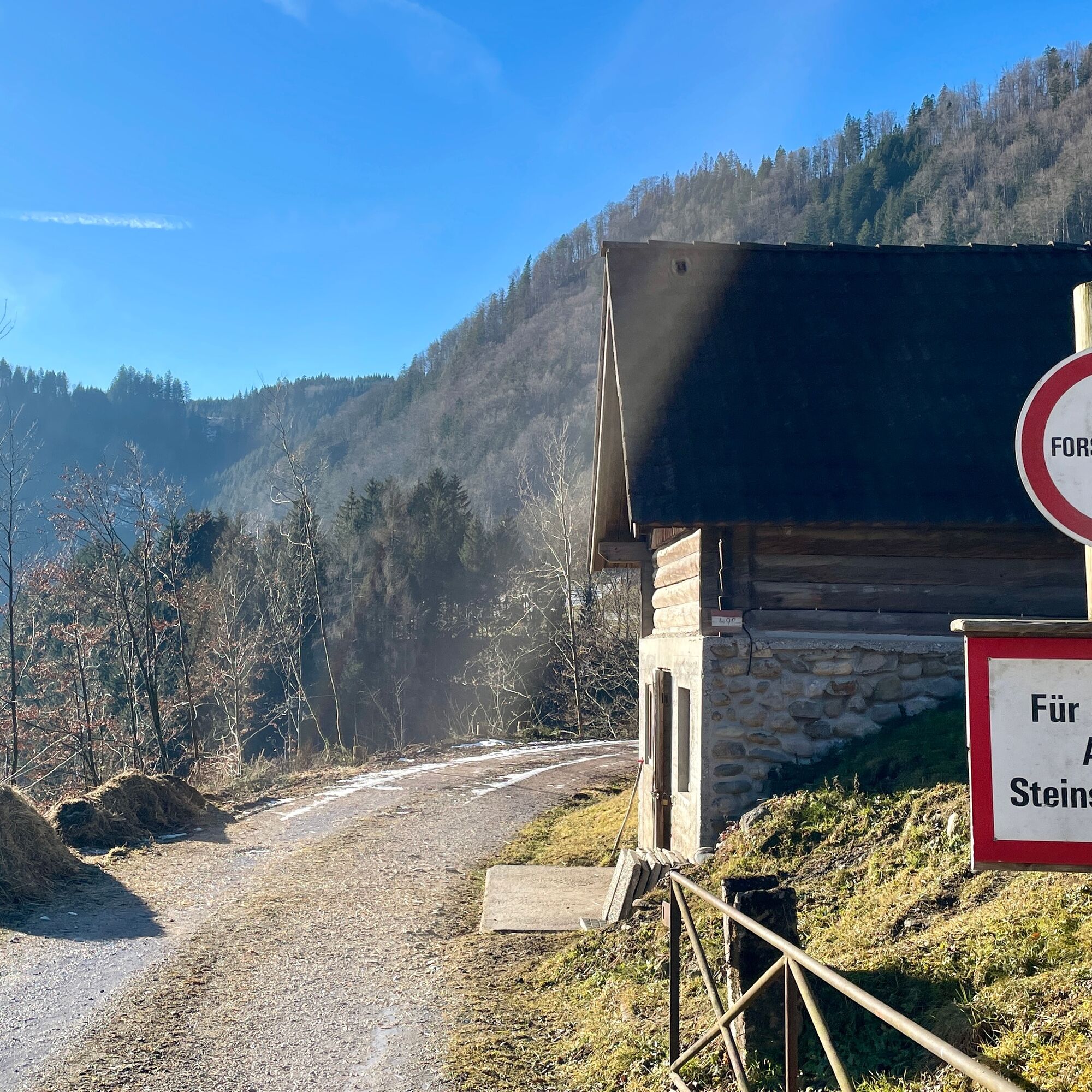
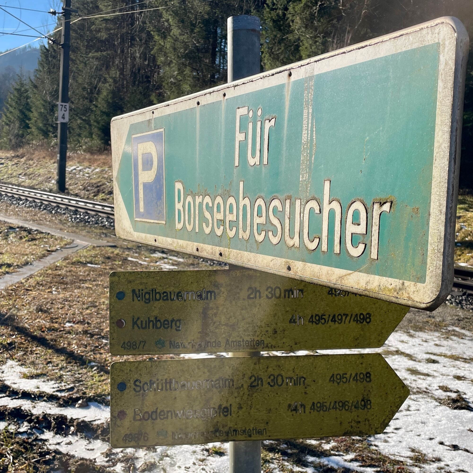
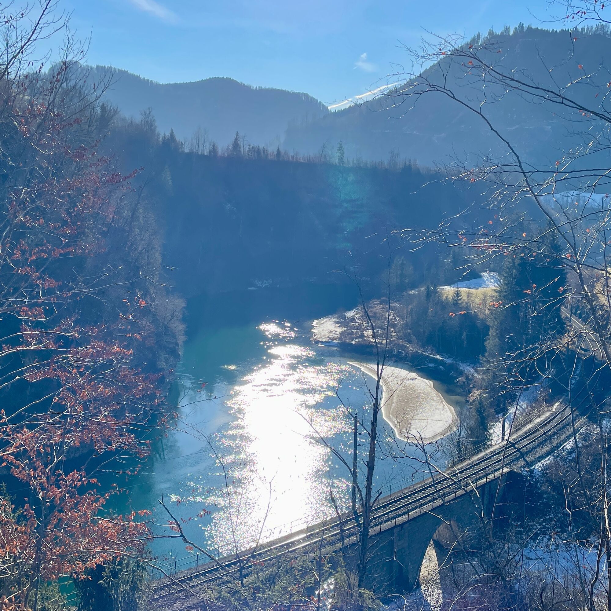
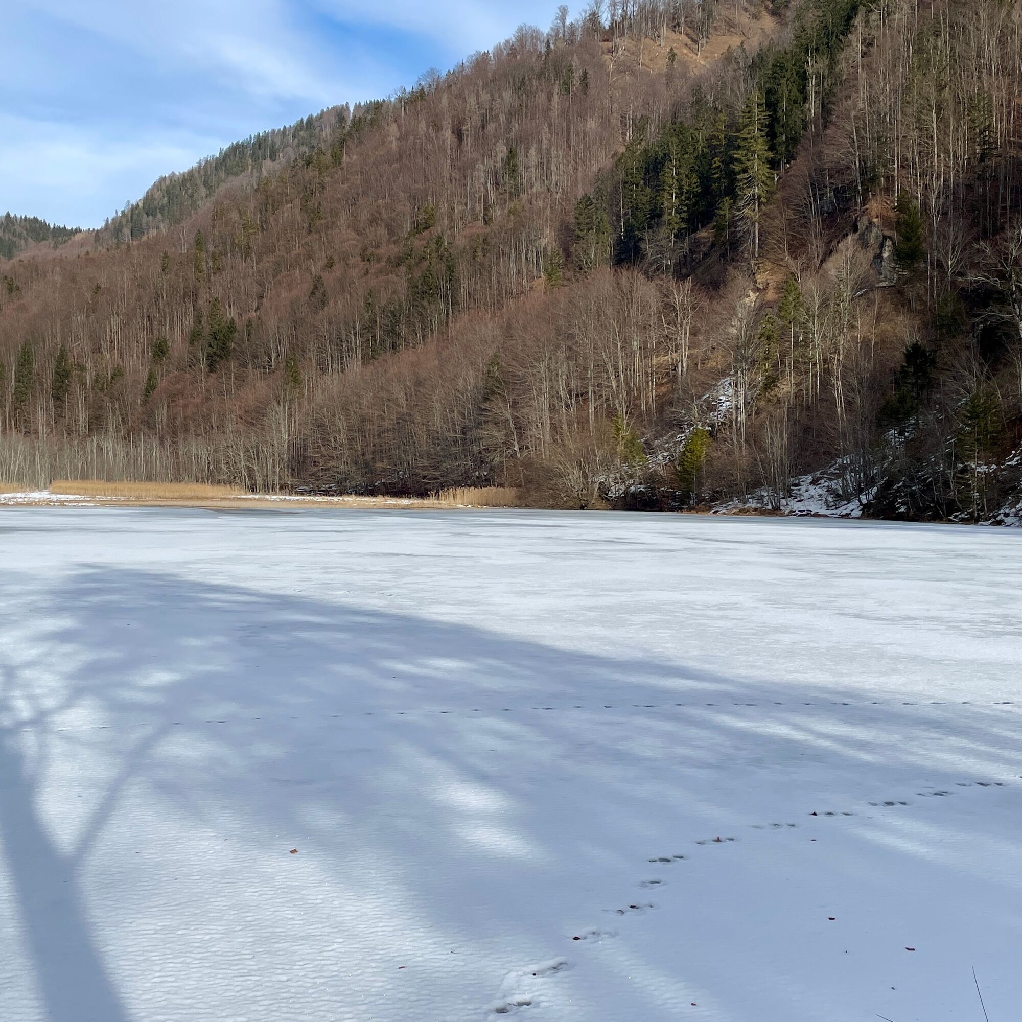
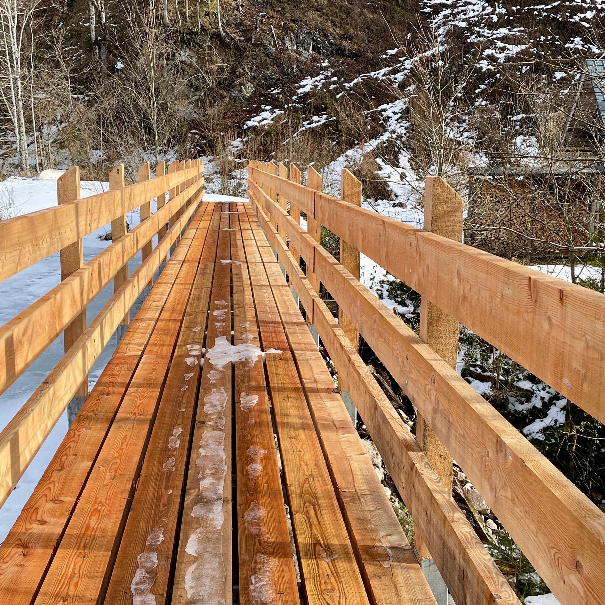
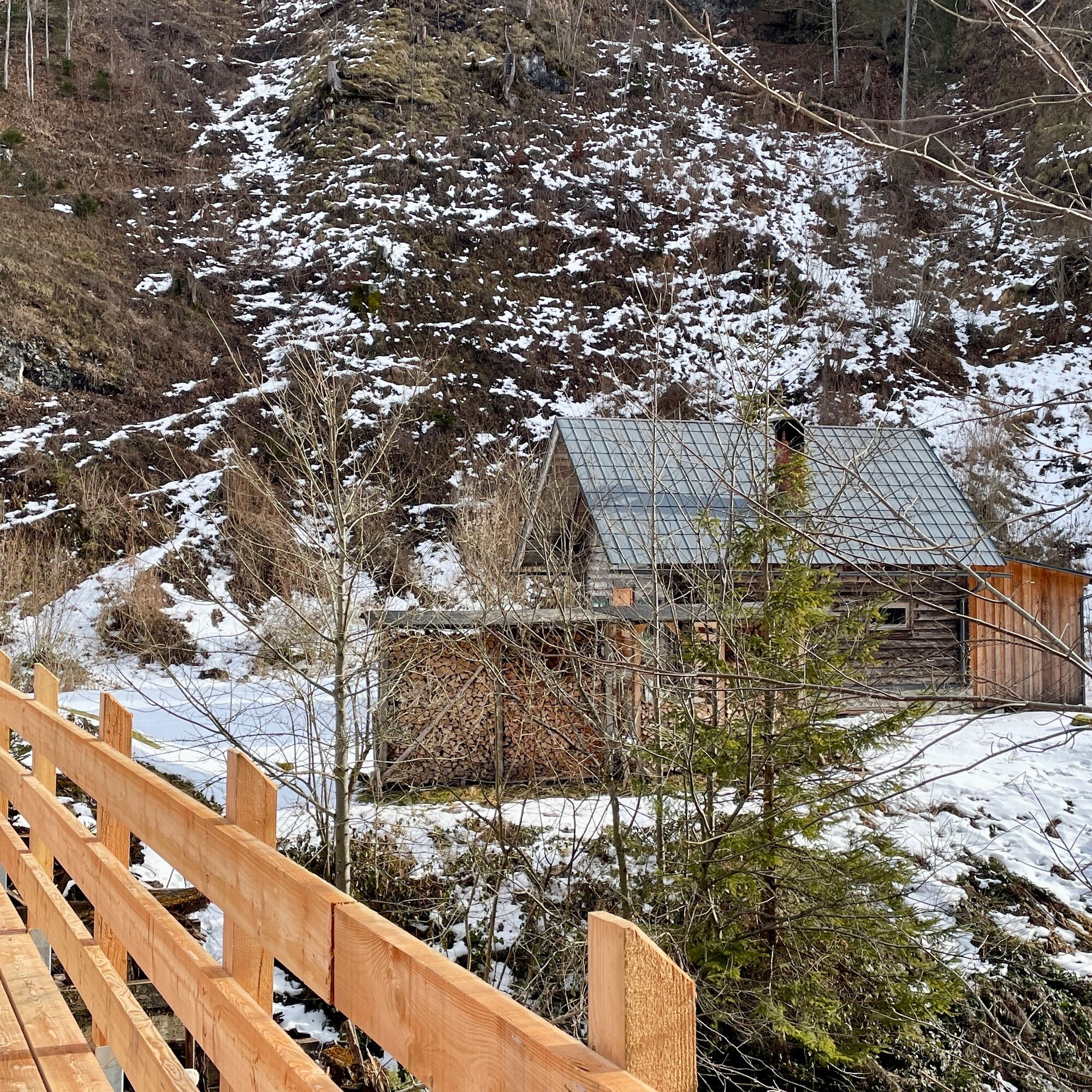
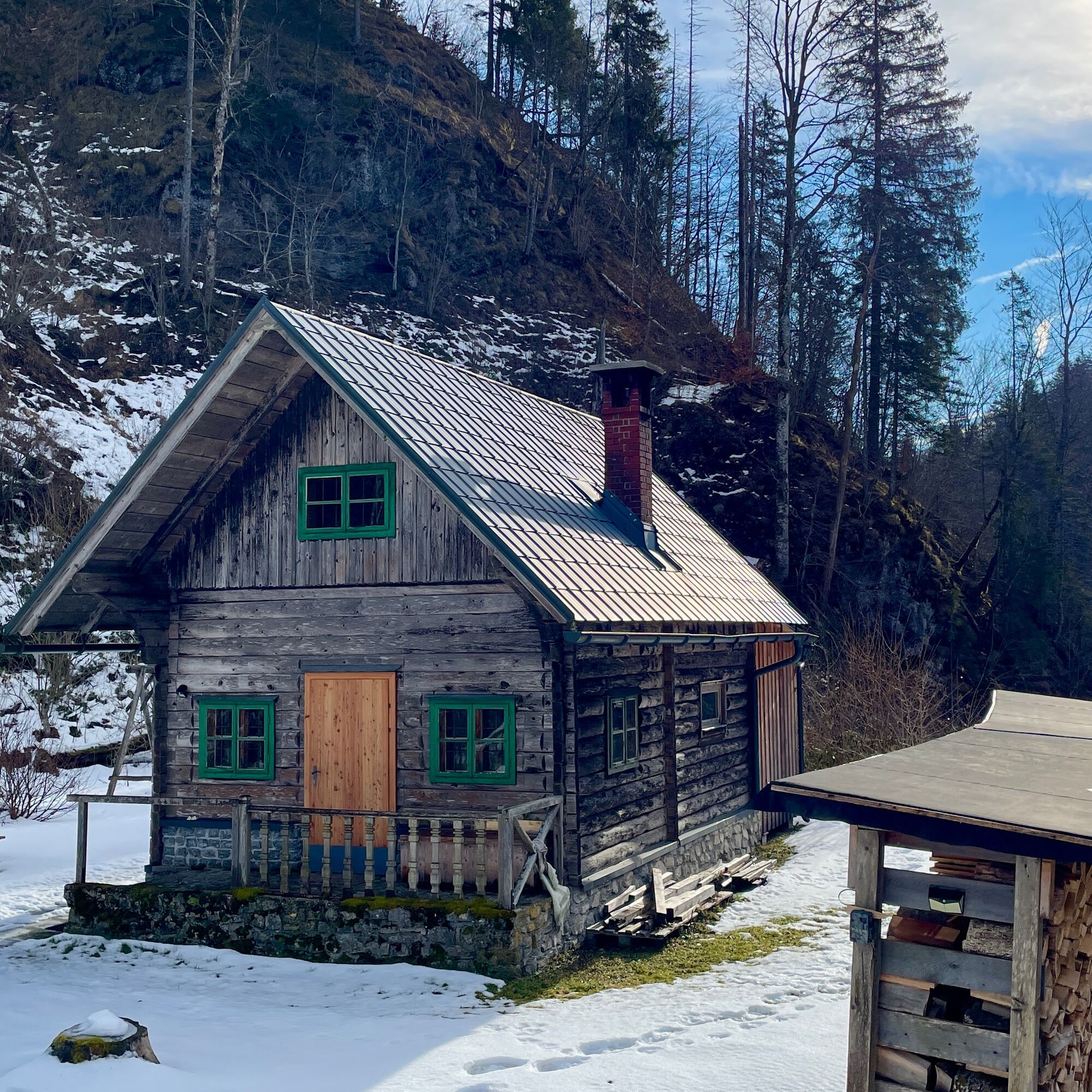
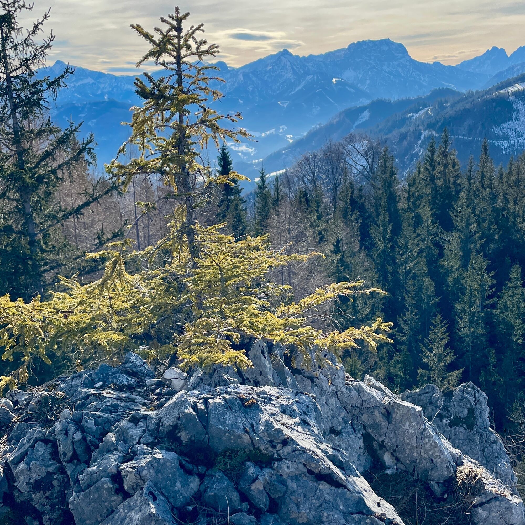
We start the tour at the Schönau bus stop, alternatively there is also parking down by the bridge over the Enns river.After the bridge, we walk along the Schönau main road, past the (former ?!) Jagahansl snack station until we come to some houses in Schönau an der Enns, from here we continue on gravel forest roads. At first we walk flat along the Schleifenbach and then continue to climb until we reach the Schleifenbach Klause after 4.5 km. A newly built wooden bridge leads over the hermitage to a small hut next to the Borsee lake. We continue left along the lake, past the wild meadow to the Kogleralm. Here we leave the forest road and climb up a path in the forest for the next 1.5 km. We continue on very well-maintained forest roads until we reach the highest point of our loop at km 10.5. A small rock to the right of the road marks this point with a wonderful view of the Bodenwies and the nearby Gesäuse. From here it's all downhill, not too steep for the next 8 km along the road. Again and again with a view of the emerald green Enns river, until we reach the Enns bridge again.
The required equipment always depends on the particular tour and the weather conditions. Regarding the food: This is very individual and it is recommended to have rather too much than too little with equipment and food. For a 5km round in the valley you need less than for a demanding tour in the mountains. The weather can change quickly and if you are not constantly on the move or need to take a break, for example, warming clothing is of great importance.
We have a general checklist for you here:
weather-appropriate running gear for the season - weather forecast - region - elevation. This includes: * a waterproof rain jacket * a waterproof rain trousers suitable for running * Gloves and warm headgear (hood/headband/towel). * sunglasses + sunscreen + headgear for very warm days
Trail running shoes
Drinking bottles, softflasks or a hydration bladder with enough liquid for the respective tour (if necessary also salt tablets/magnesium)
Snacks for the energy boost in between: Energy bars, gels, chocolate, trail mix,
Running backpack: ideally a trail running vest / a trail running backpack or a belly belt for small tours.
Drypack: to keep your valuables or change of clothes dry (optionally a small garbage bag).
Emergency blanket
Small first aid kit. An Israeli bandage is highly recommended: this is a one-handed wound and pressure bandage. Details can be found here.
Emergency whistle (often integrated in trail backpacks)
Cell phone
Maps (online and/or offline)
E-card or insurance card
Some cash
Grödeln/Spikes: these can be a great advantage in winter and icy conditions.
Folding poles for trail running
Headlamp
No refreshment stops, take enough to drink with you, as it can get quite warm in summer due to the south-facing location.
Tururi populare în vecinătate
-
4,8
Ennser Hütte - Almkogel (via parking Bamacher)
mediuExcursie 3,53 km -
4,7
GROSSRAMING Bamacher, Burgspitz, Almkogel, Ennshütte 20240730
mediuExcursie 10 km -
3,7
Wasserklotz
mediuExcursie 5,81 km -
4,0
Ennser Hütte, Stallburgalm, Burgspitz, Almkogel
mediuExcursie 11,6 km -
4,4
Wasserklotz
mediuDrumeții montane 10,0 km -
3,0
Ennser Hütte - Almkogel (from Großraming railway station)
mediuExcursie 9,33 km -
4,5
Burgspitz, Almkogel, Wieser, Langlackenmauer und zurück
mediuExcursie 13,5 km -
4,2
Bodenwiesgipfel über Gratweg zur Schüttbaueralm
mediuExcursie 13,2 km -
4,6
Gamsstein (1275m) und Gschwendtalm ab Parkplatz Brunnbach
mediuExcursie 7,37 km -
4,6
Hintergebirgsrunde over the Hirschkogel mountain
luminăCiclism 45,5 km
Drumeții și urmărire


Nu ratați ofertele și inspirația pentru următoarea dvs. vacanță
Adresa dvs. de e-mail a fost adăugat la lista de corespondență.