


Erlebnisweg Sieg | Dreitälerweg | Hennef


Your hike starts spectacularly with the ascent of the rocky outcrop with the castle complex high above the Sieg. Here you have the opportunity to visit the castle ruins and stroll through the medieval...
Your hike starts spectacularly with the ascent of the rocky outcrop with the castle complex high above the Sieg. Here you have the opportunity to visit the castle ruins and stroll through the medieval town of Blankenberg. Wildly romantic stream valleys, a neo-baroque castle park, the wonderful path on the rocky slope above the Sieg and the pretty half-timbered village of Auel make your tour a complete success!

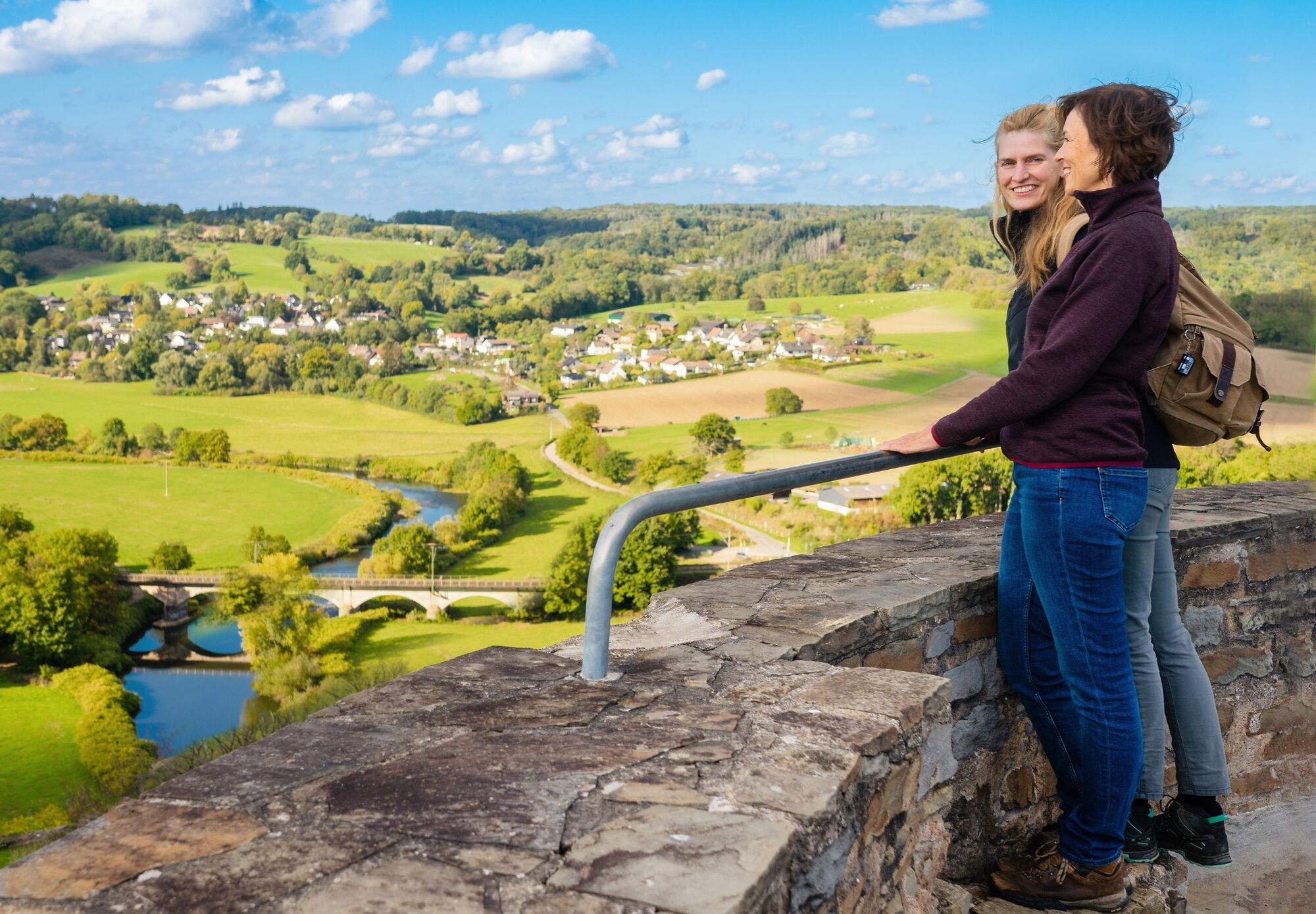
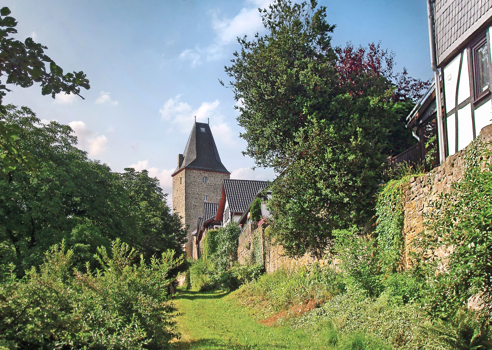
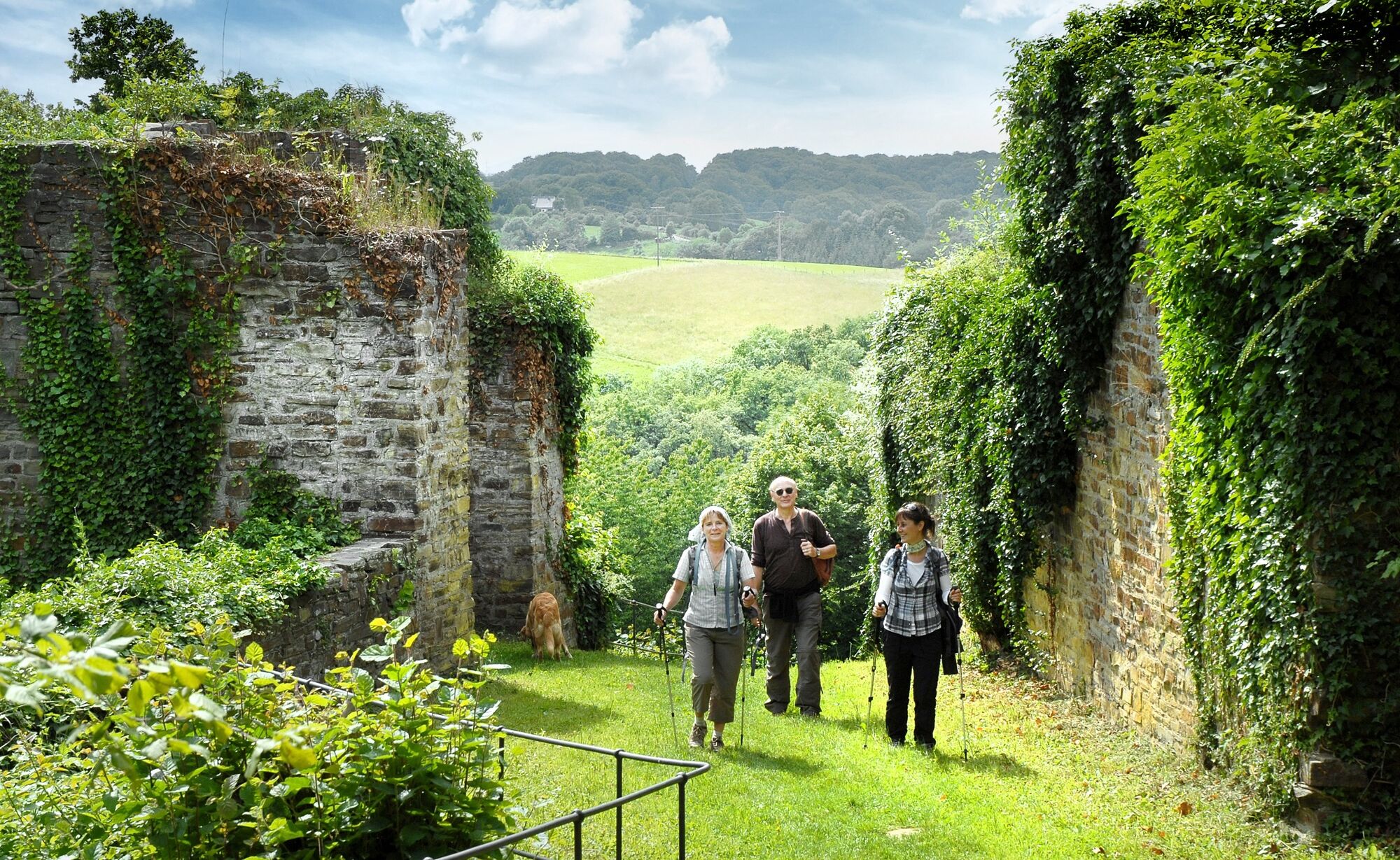
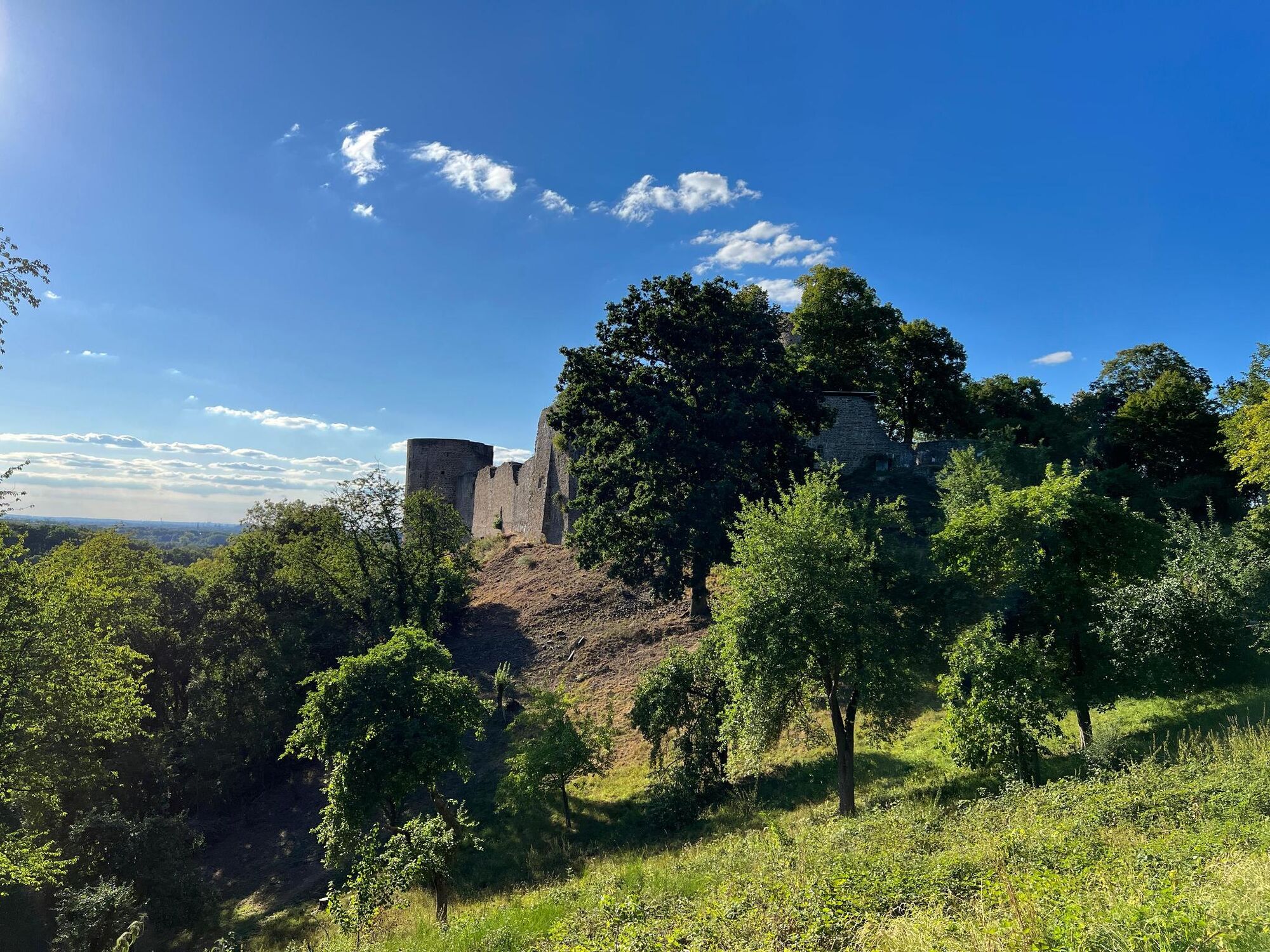
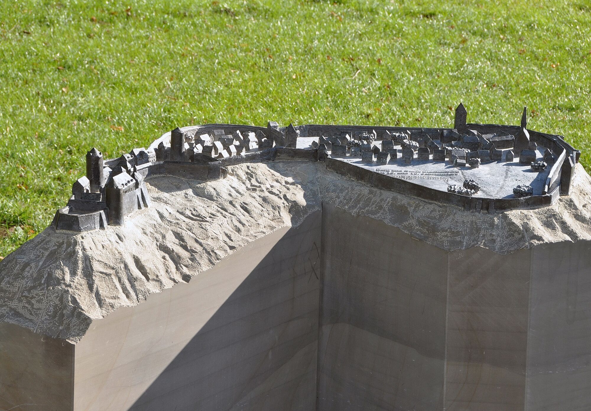
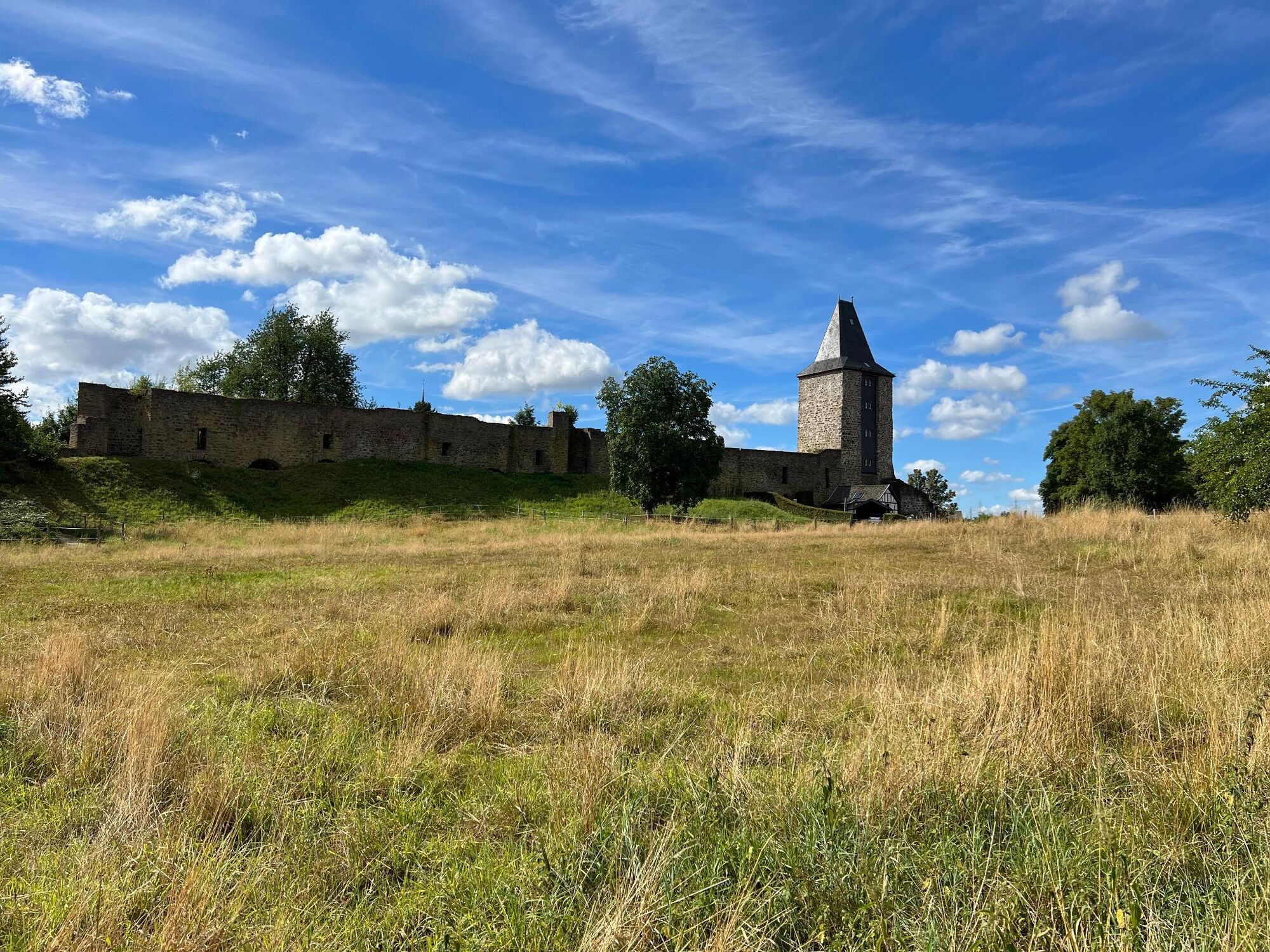
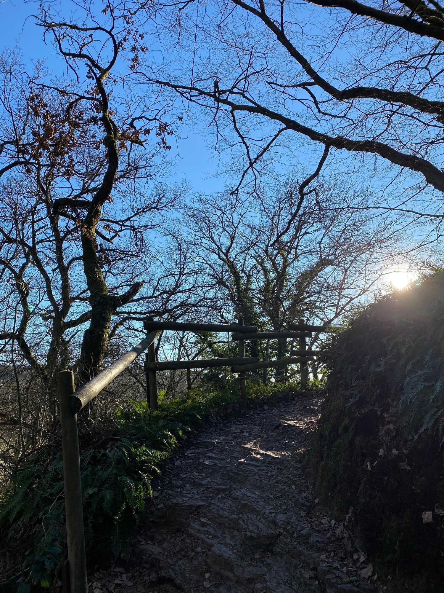
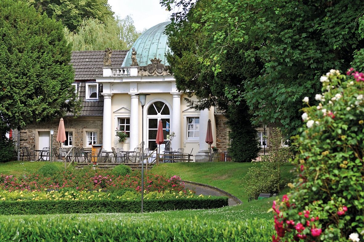
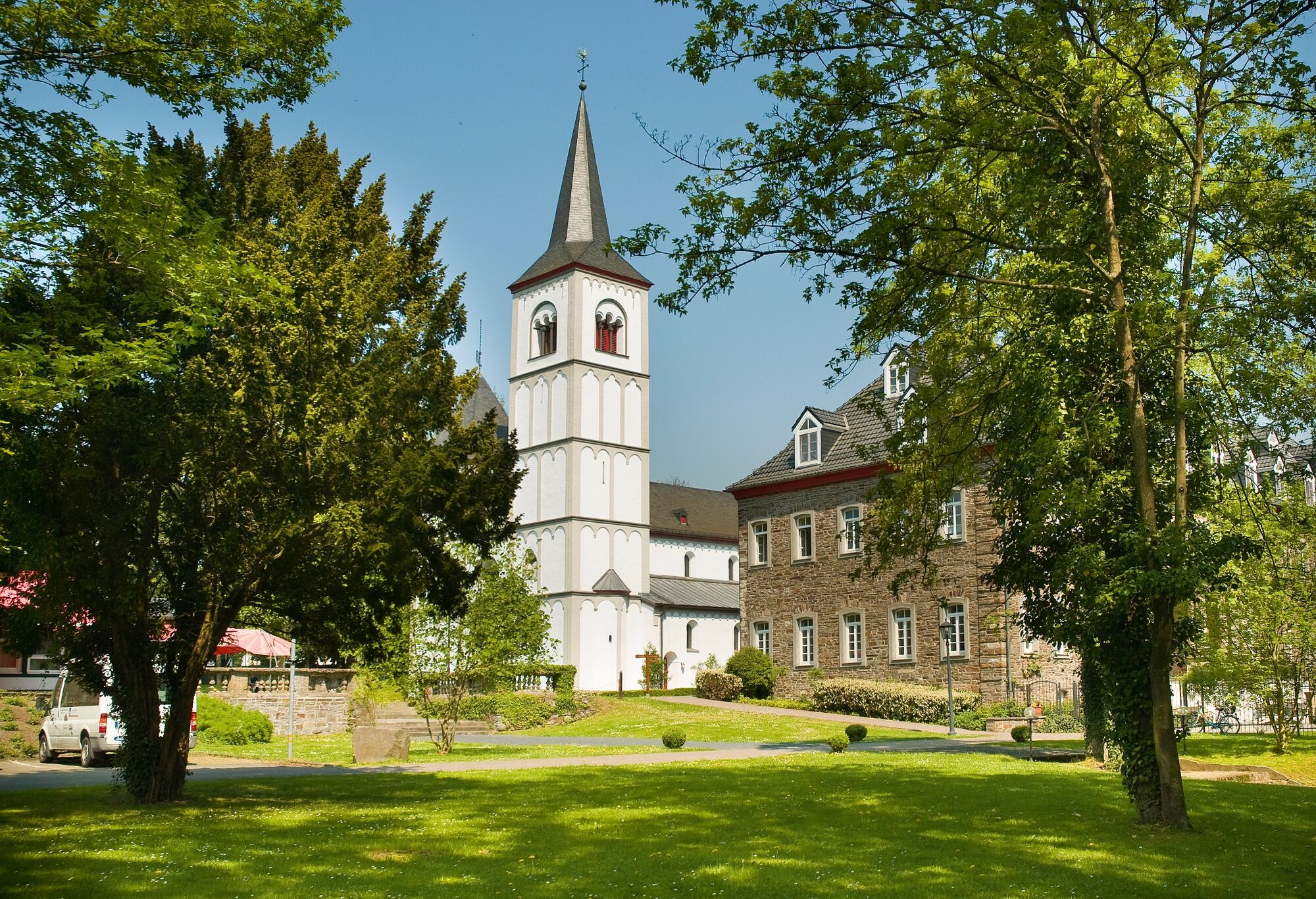
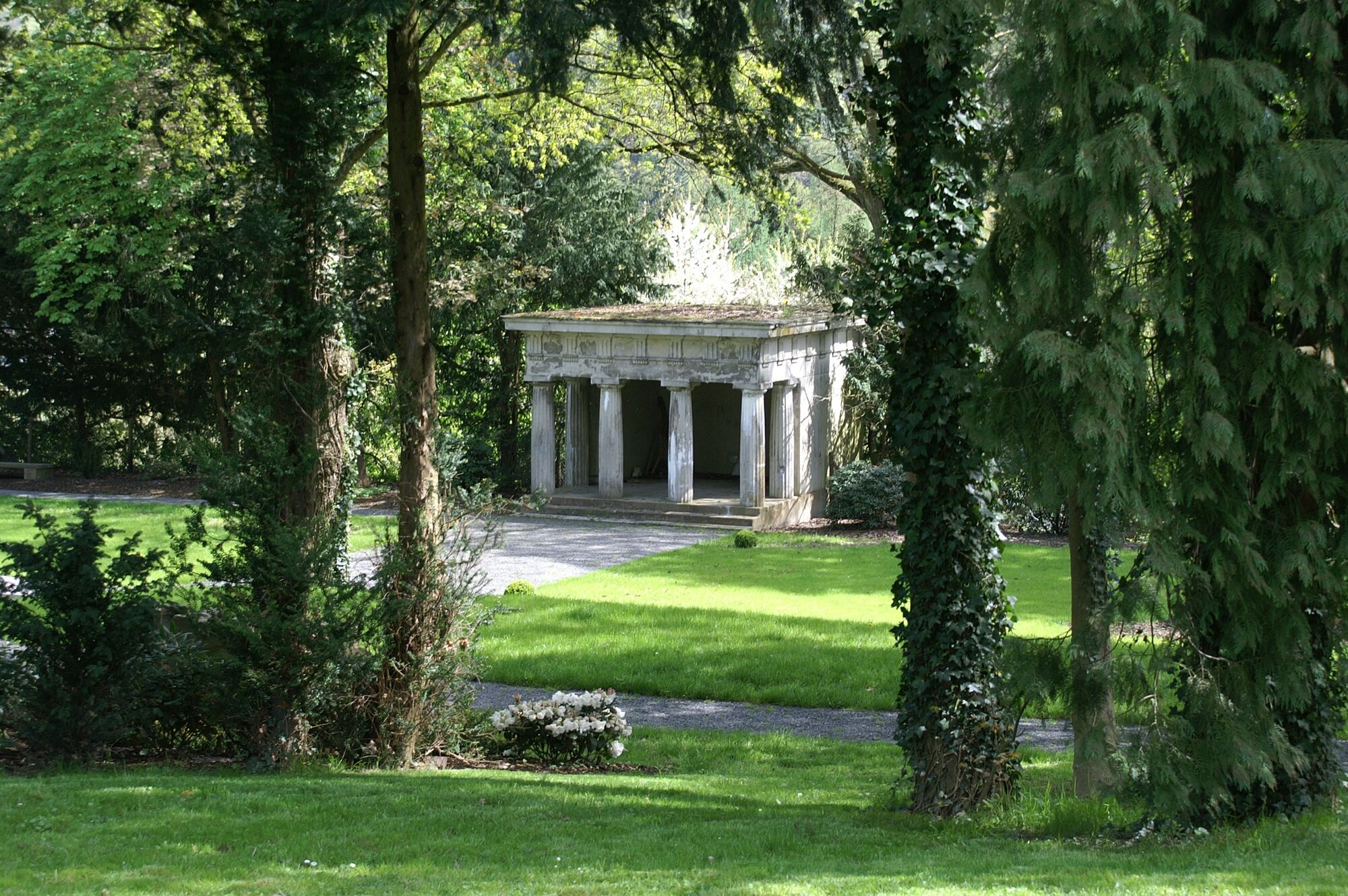
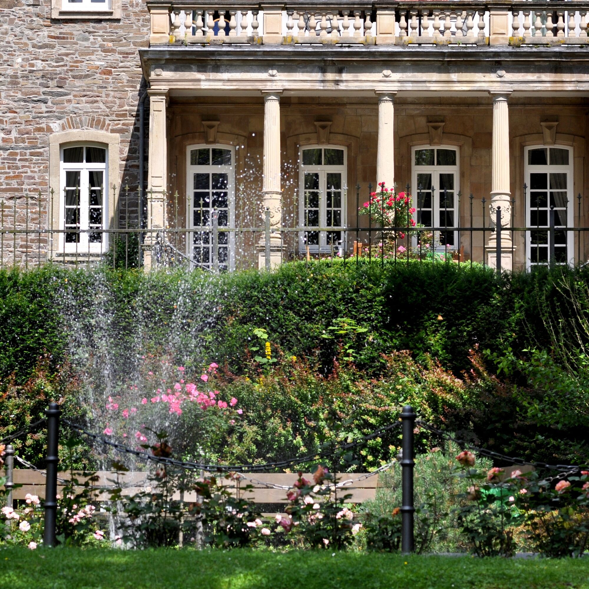
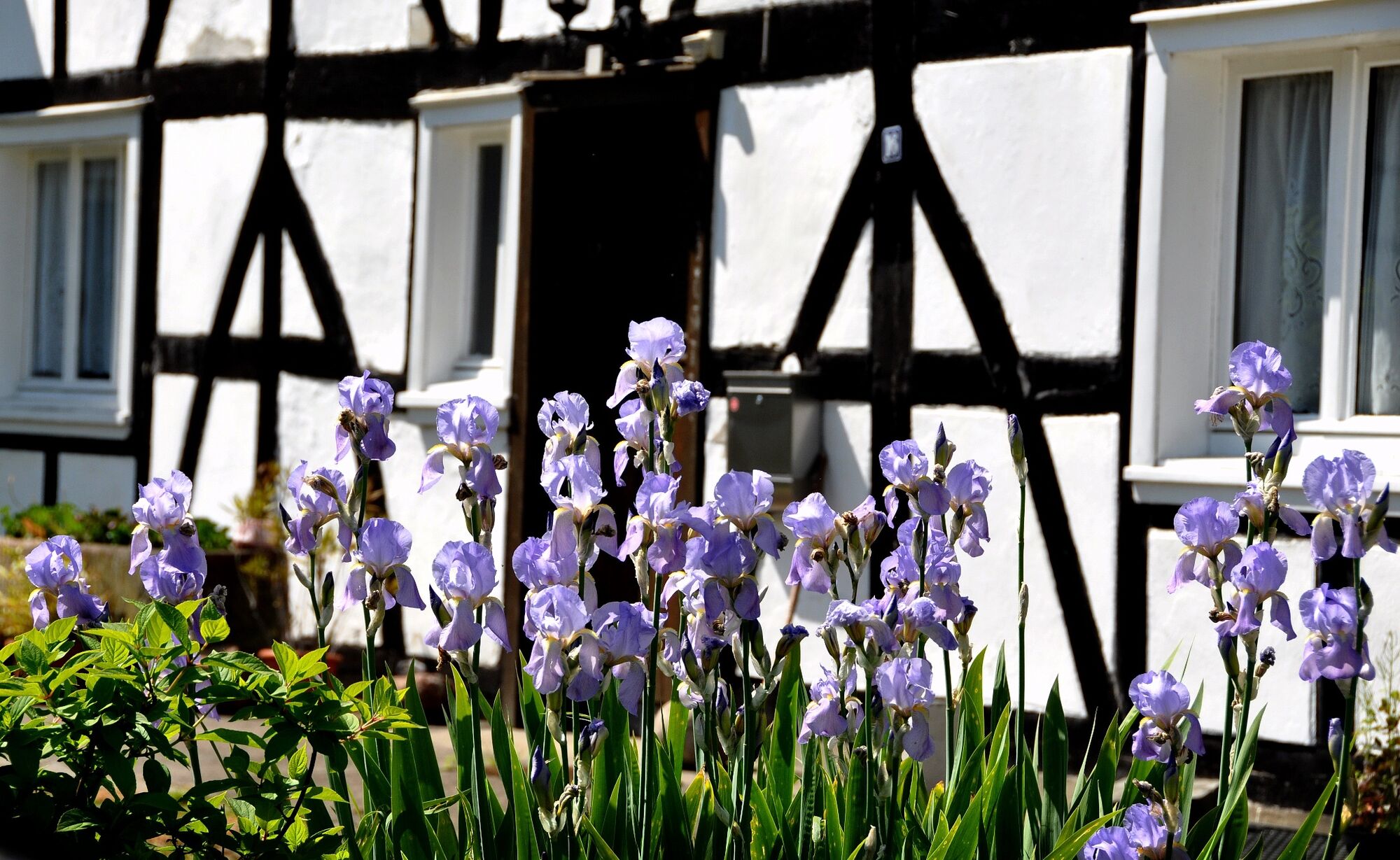
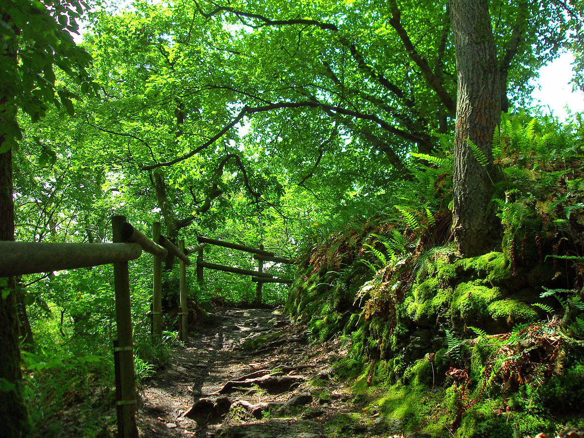
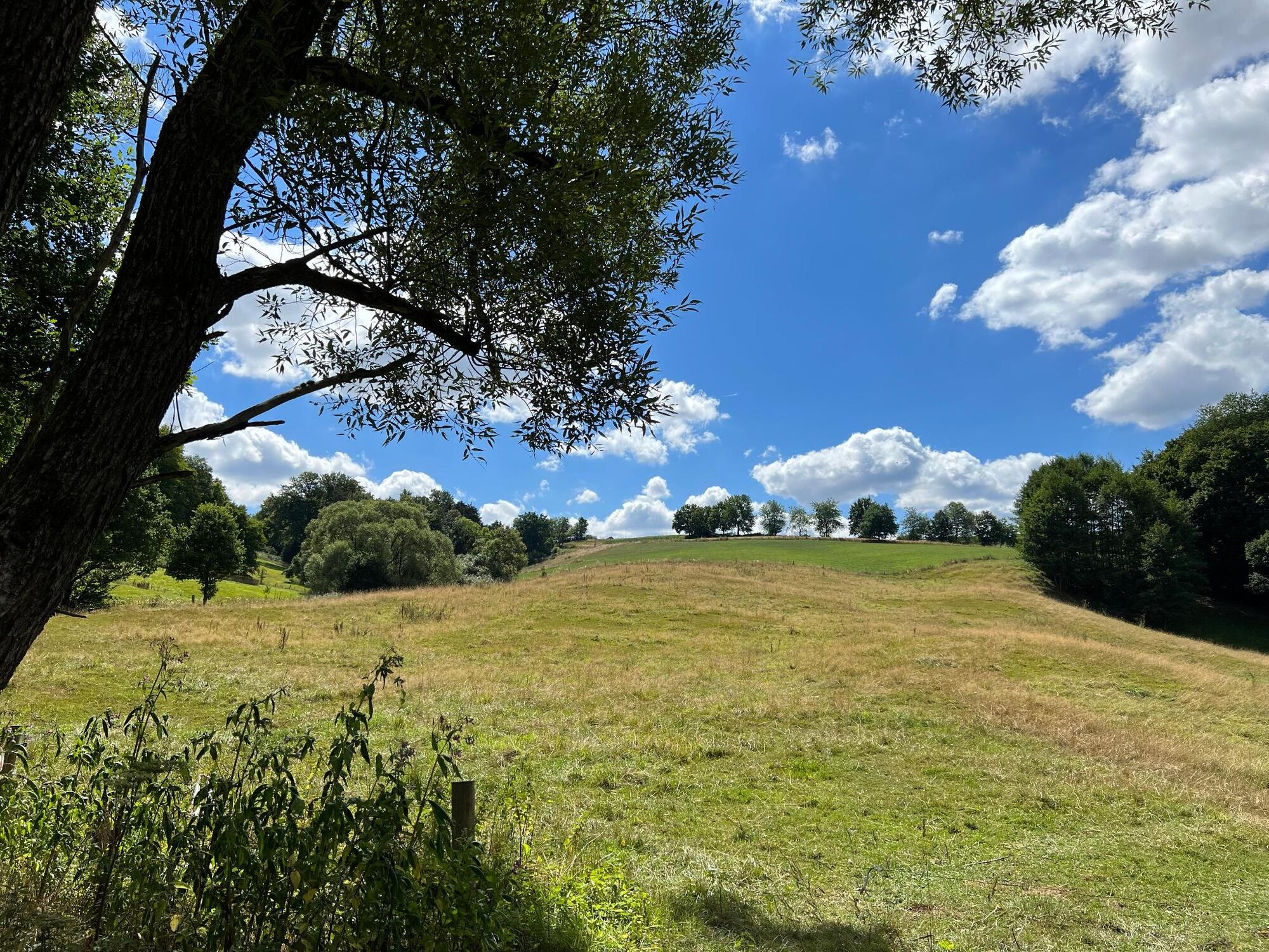
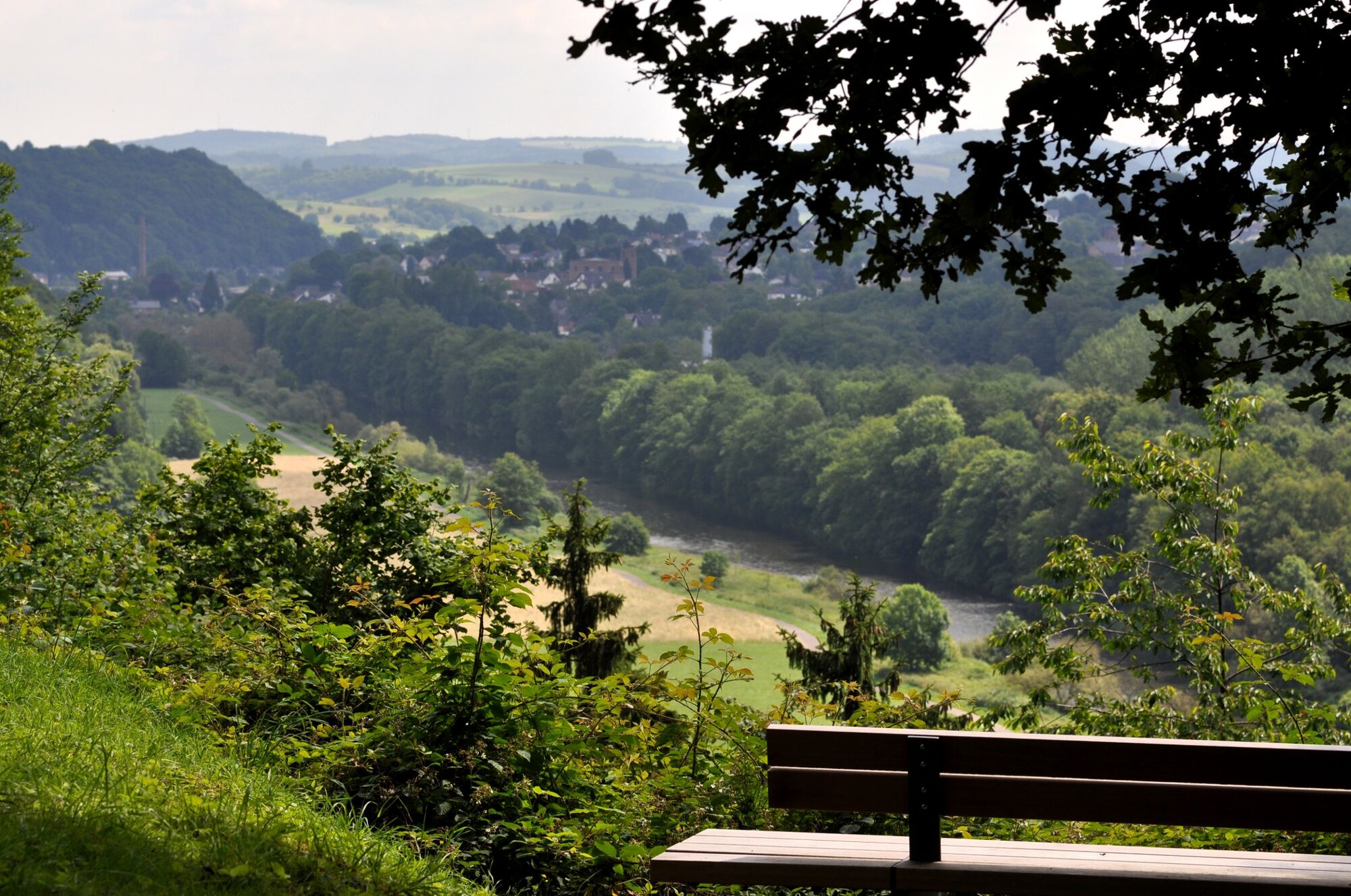
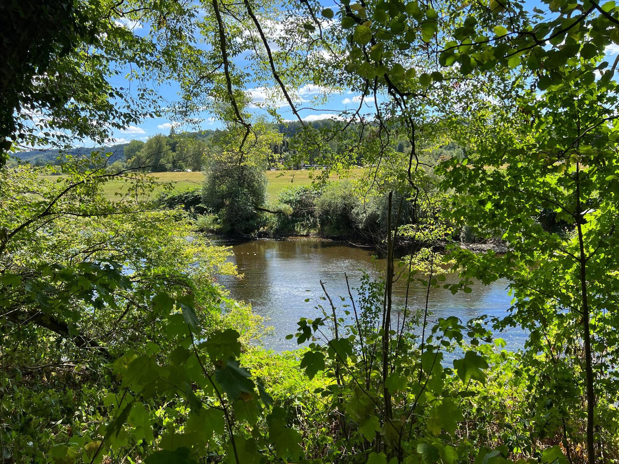
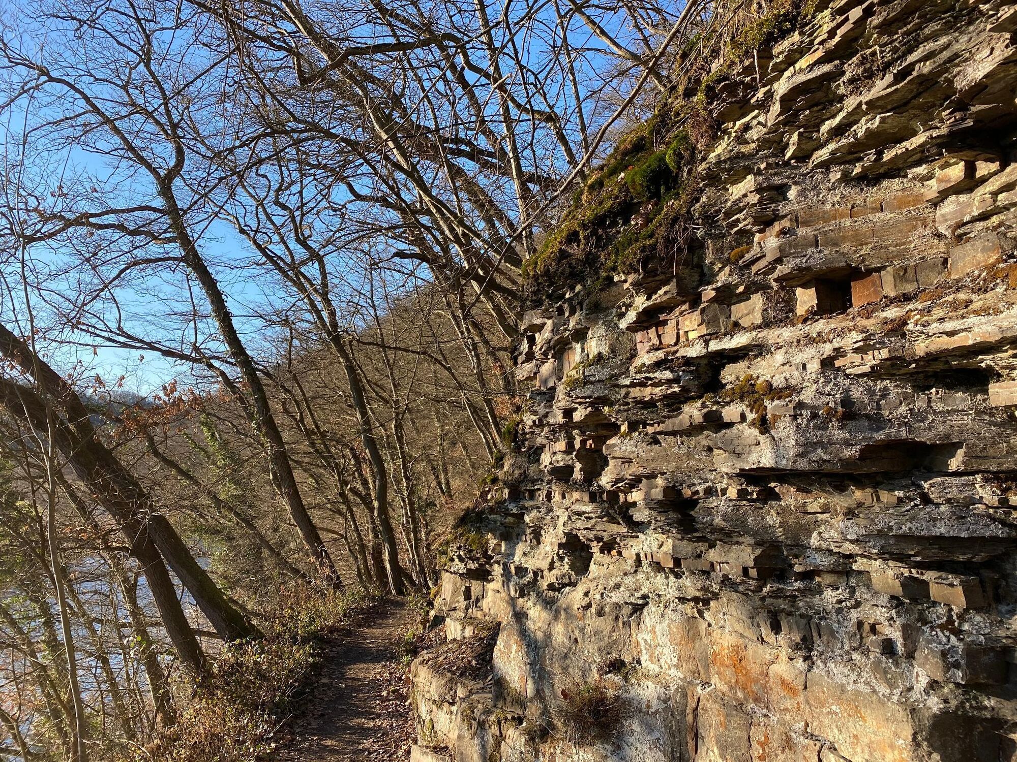
Along the way, information stations tell you interesting facts about the landscape and history. From the Stein hiking car park, a steep hillside path leads you to the outer bailey of Blankenberg Castle. The imposing ruins of the main castle and the medieval old town are popular destinations. The spectacular view of the Sieg Valley from the castle hill tempts you to linger, and the beautifully restored half-timbered town offers the opportunity for a final refreshment. A narrow path leads down into the quiet Ahrenbach Valley. After a slight incline, the expanse of the "Scheid" hill, characterized by fields and meadows, provides variety before the path leads to Süchterscheid. The town is known for the Holy Cross pilgrimage church - an architectural ensemble worth seeing. As the second valley in the trio of valleys, you reach the Ravensteiner Bachtal, formed by meandering water, on comfortable forest and field paths, which merges into the lonely and species-rich Krabachtal. With a bit of luck, you will come across rare animal species here, such as the black stork or the kingfisher. Back in the Sieg Valley, the neo-baroque Merten Castle Park surprises with unexpected views. The way back leads parallel to the Sieg River over a wildly romantic path past steep cliffs and through the Siegauen and the pretty half-timbered village of Auel back to the starting point.
Sturdy shoes and weather-appropriate clothing
A560, AS Hennef (Ost) – L333 towards Eitorf.
current departure time Blankenberg
Alternative: S-Bahn stop Merten (Sieg): Lines S12 and S19
Stein hiking parking lot, Am Burghart 10, 53773 Hennef (Sieg). Alternatively: Merten S-Bahn stop, Burgweg, 53783 Eitorf-Merten
Stamping point: Information column below Stachelhardt
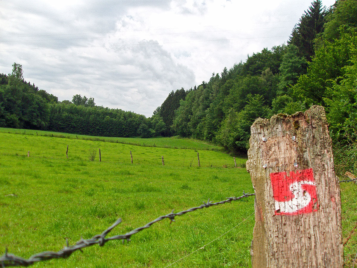
The Sieg adventure trails are completely marked with the red logo. You will find displays with overview maps and further information on places to stop and stay overnight as well as on sights at the starting points of each adventure trail.
The castle grounds are closed on Mondays and in winter.
Tururi populare în vecinătate
-
5,0
Rundweg Breiberge, Logebachtal, Tretschbachtal
Excursie 19,8 km -
4,2
Siebengebirge über 7 Berge
mediuTrailrunning 24,2 km -
13-Gipfel-Tour im Siebengebirge
mediuExcursie 19,4 km -
Königswinter - Klosterlandschaft Heisterbach
mediuExcursie 10,6 km -
Siebengebirge - Geowanderung: Stenzelberg
mediuExcursie 11,9 km -
5,0
Ich steig Raus | Wolke 7
greleExcursie 16,6 km -
Erlebnisweg Sieg | Pulvermühlenweg | Windeck
luminăExcursie 13,0 km -
4,5
Natursteig Sieg | Etappe 05 | Eitorf–Herchen
greleExcursie 21,5 km -
Natursteig Sieg | Etappe 02 | Hennef–Stadt Blankenberg
mediuExcursie 17,9 km -
4,0
Erlebnisweg Sieg | Burgweg | Stadt Blankenberg
mediuExcursie 5,67 km
Drumeții și urmărire


Nu ratați ofertele și inspirația pentru următoarea dvs. vacanță
Adresa dvs. de e-mail a fost adăugat la lista de corespondență.