


Thurnberg Reservoir Route


Fotografii ale utilizatorilor noștri
-
 © Berni_SCreat pe 13.10.2025
 -
 © Berni_SCreat pe 13.10.2025
 -
 © Berni_SCreat pe 13.10.2025
 -
 © Berni_SCreat pe 13.10.2025
 -
 © Berni_SCreat pe 13.10.2025
 -
 © Berni_SCreat pe 13.10.2025
 -
 © Berni_SCreat pe 13.10.2025
 -
 © Berni_SCreat pe 13.10.2025
 -
 © Berni_SCreat pe 13.10.2025
 -
 © Berni_SCreat pe 13.10.2025
 -
 © Berni_SCreat pe 13.10.2025
 -
 © Berni_SCreat pe 13.10.2025
 -
 © Berni_SCreat pe 13.10.2025
 -
 © Berni_SCreat pe 13.10.2025
 -
 © Berni_SCreat pe 13.10.2025
 -
 © Berni_SCreat pe 13.10.2025
 -
 © Berni_SCreat pe 13.10.2025
 -
 © Berni_SCreat pe 13.10.2025
 -
 © Berni_SCreat pe 13.10.2025
 -
 © Berni_SCreat pe 13.10.2025
 -
 © Berni_SCreat pe 13.10.2025
 -
 © Ewald Reil 1Creat pe 09.04.2025
 -
 © Ewald Reil 1Creat pe 09.04.2025
 -
 © Bernhard Dr. RotterCreat pe 20.09.2025
 -
 © Bernhard Dr. RotterCreat pe 20.09.2025
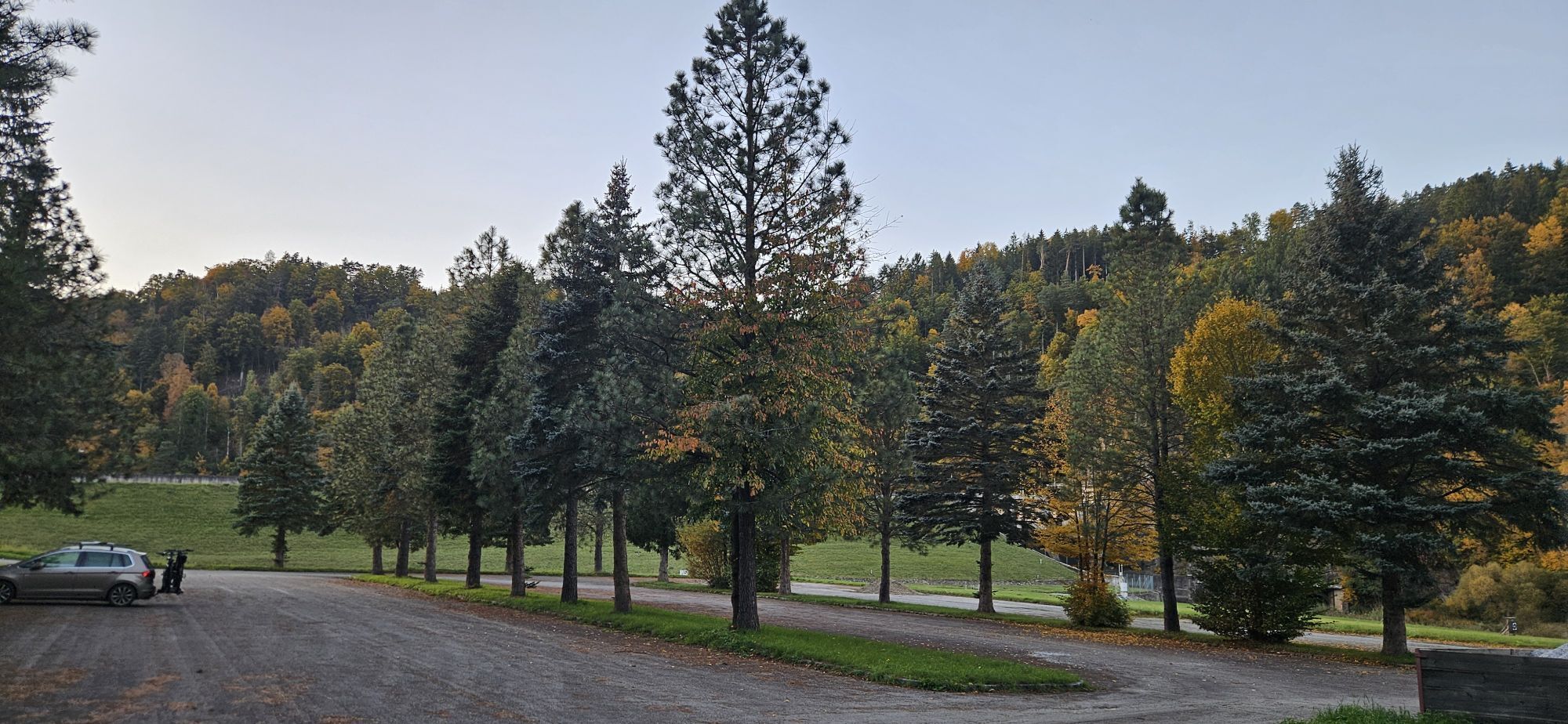
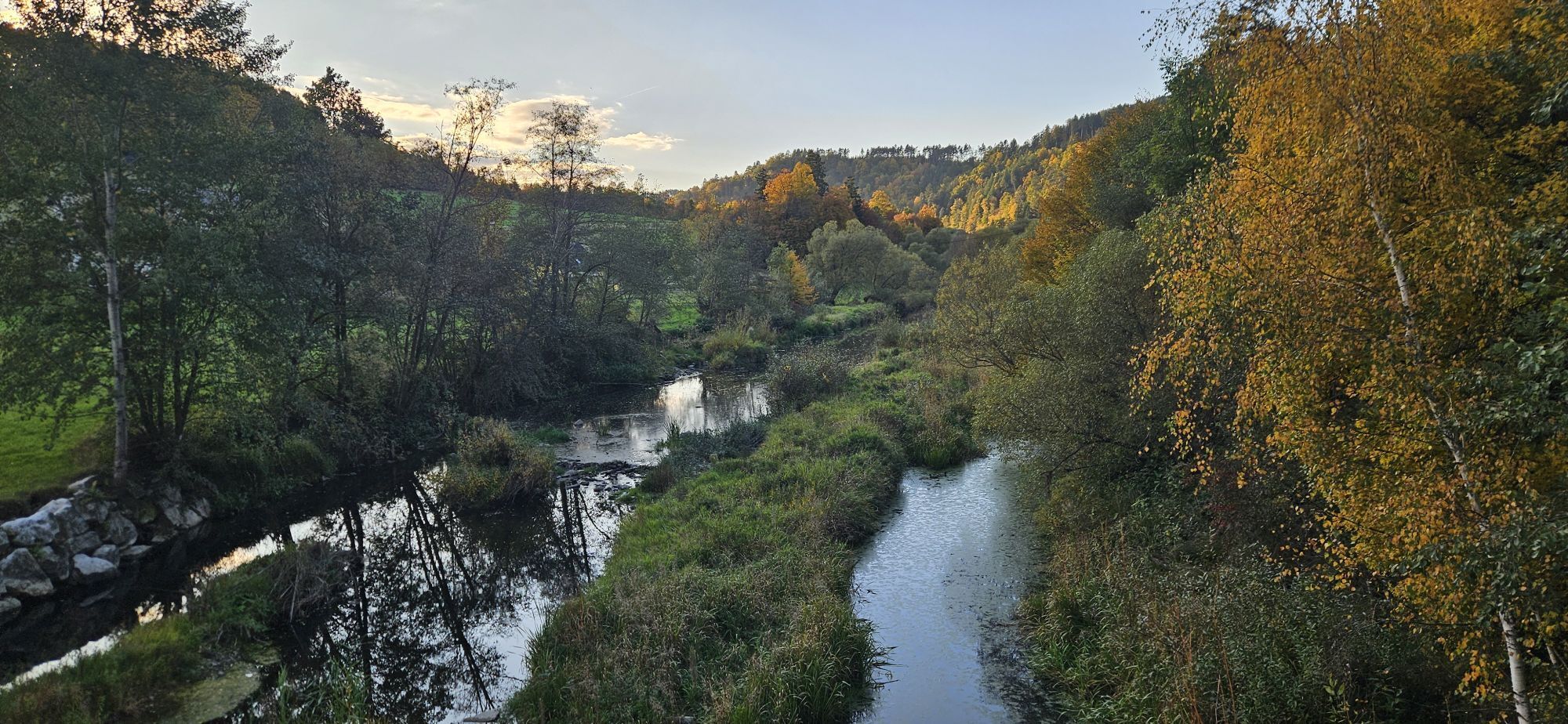

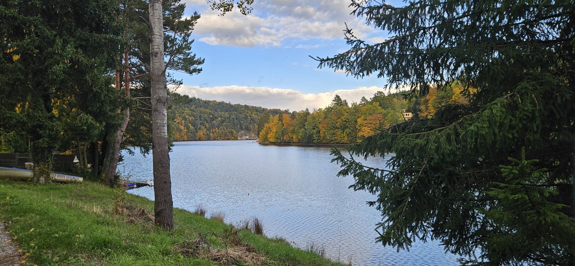
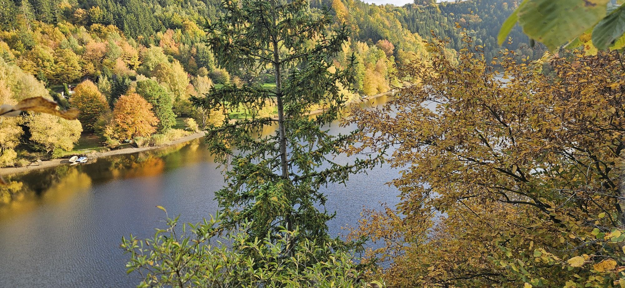

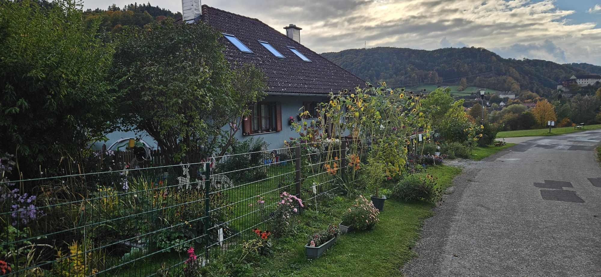
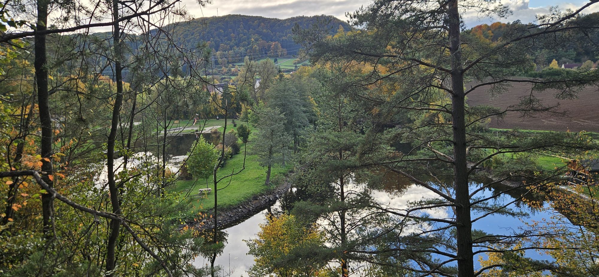


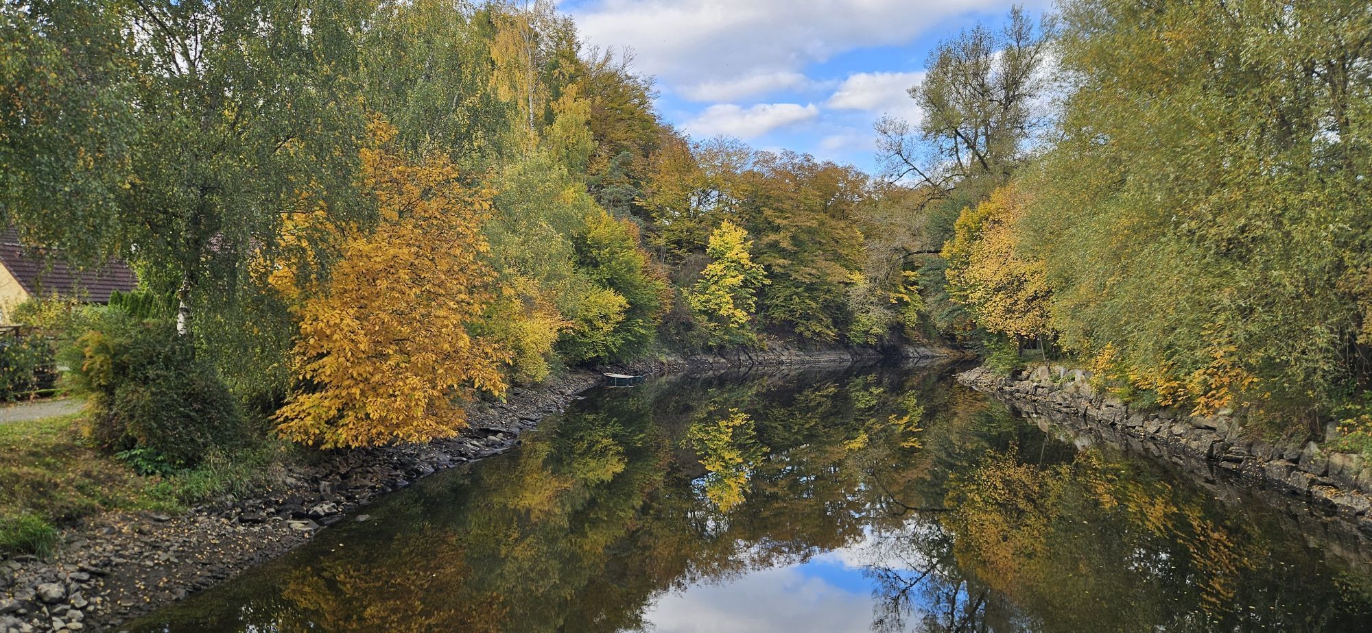
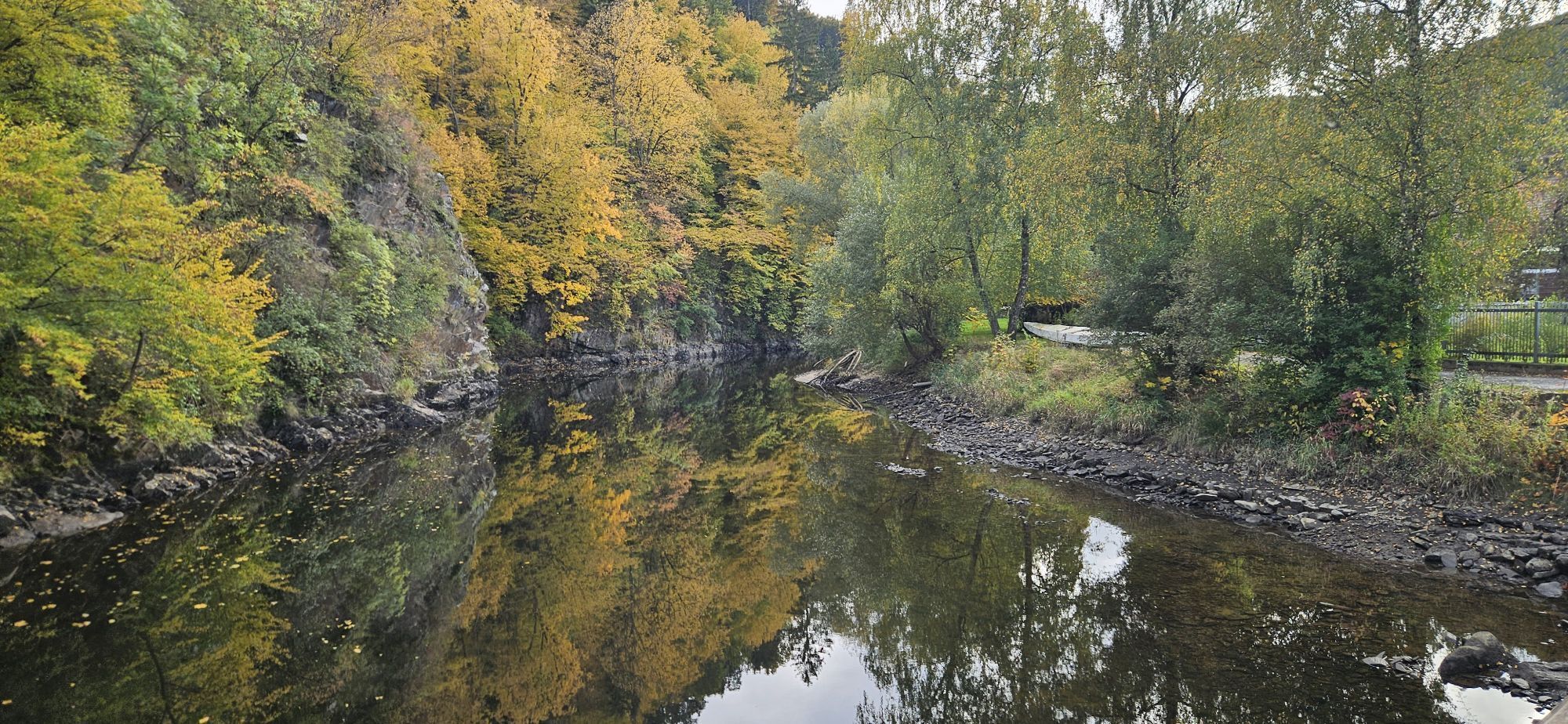
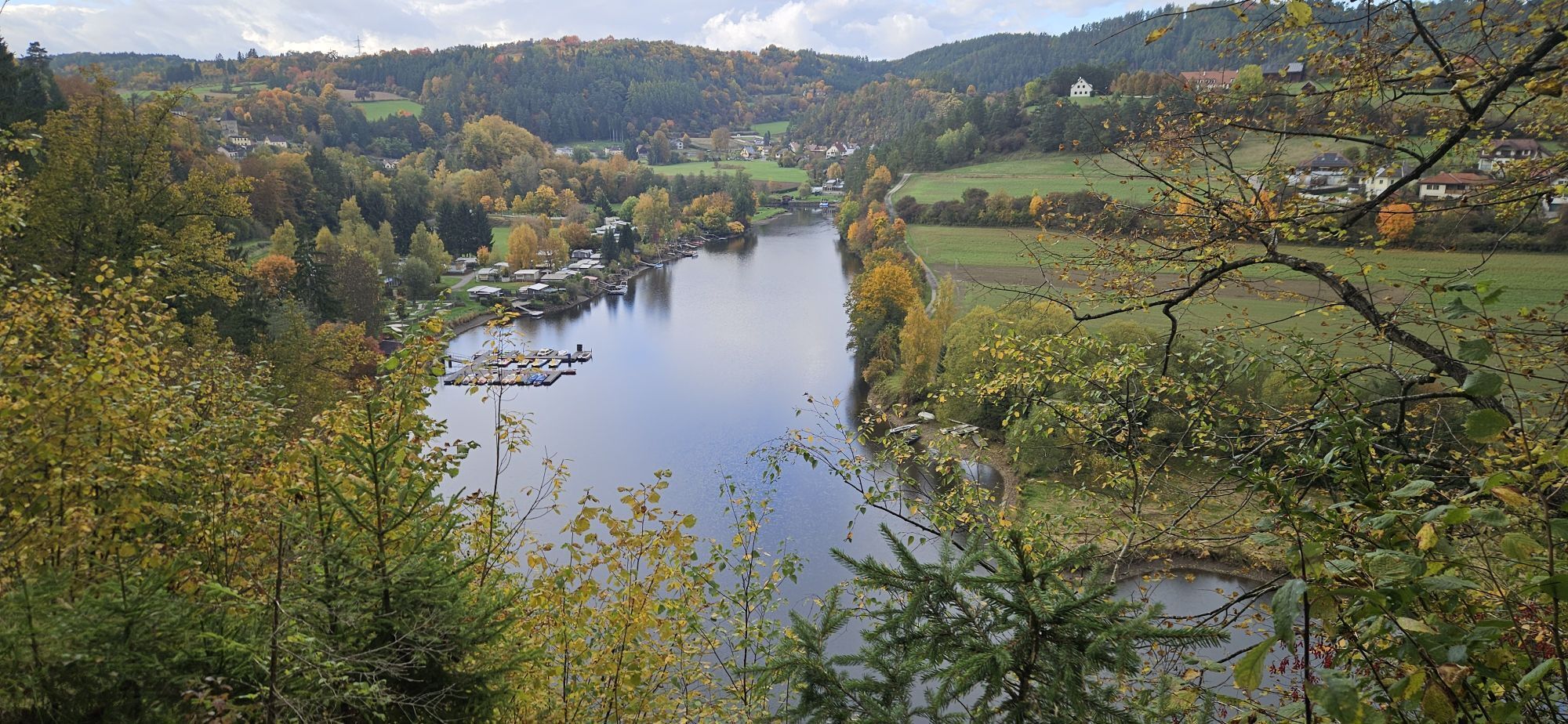
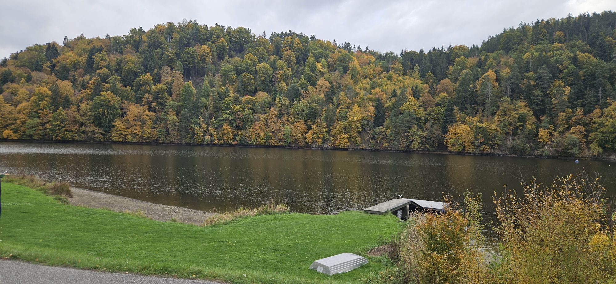


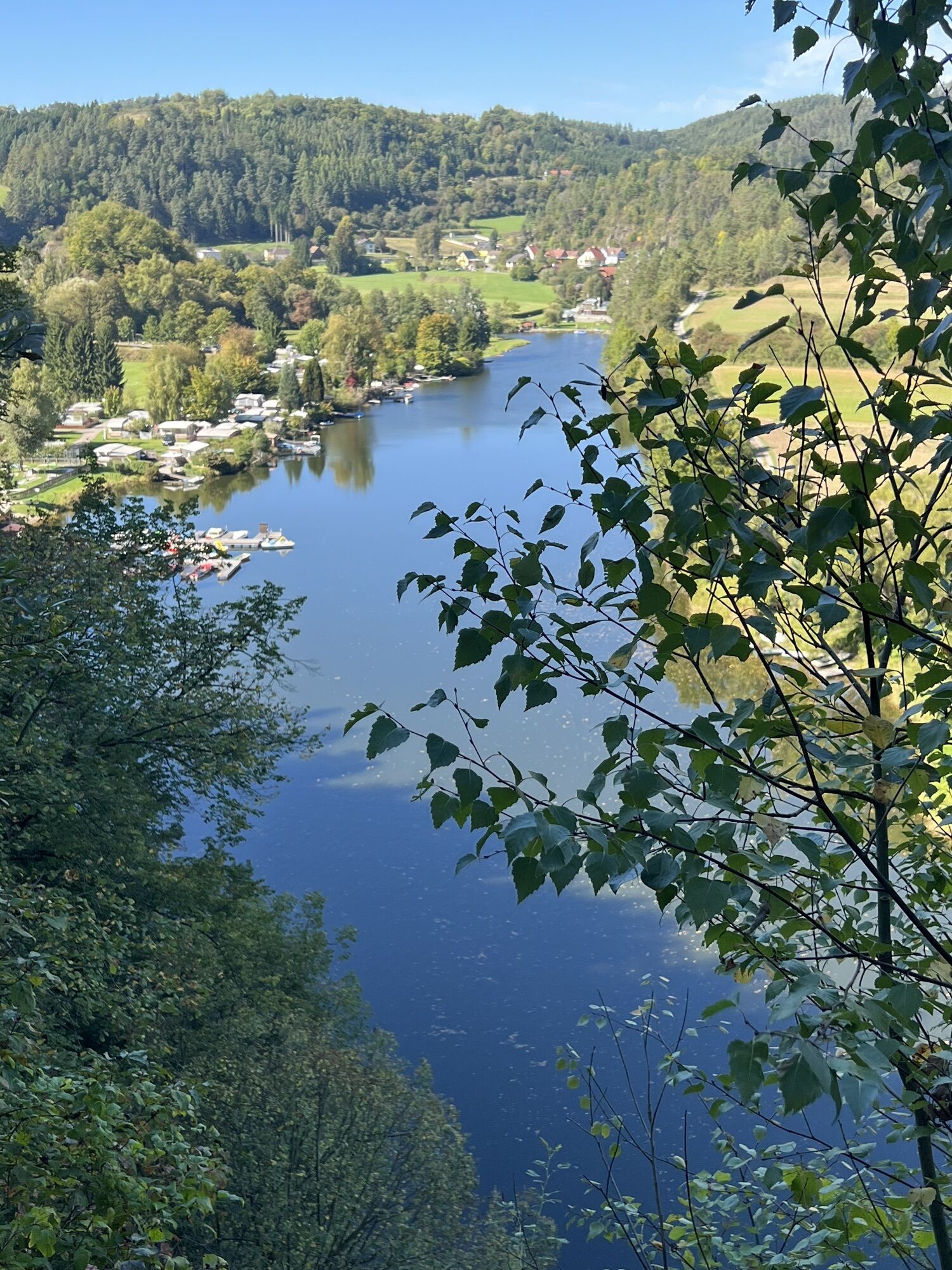
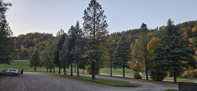
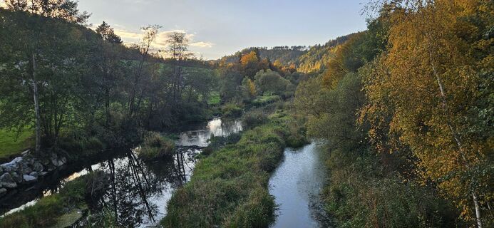
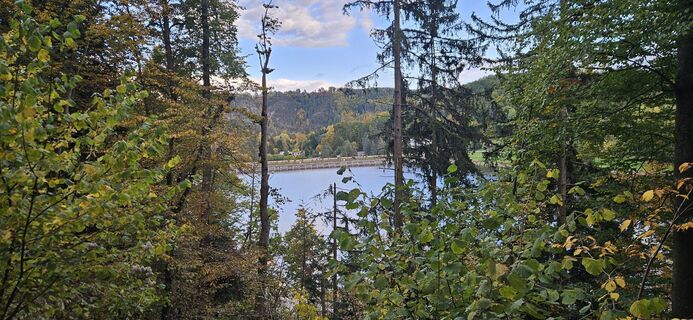
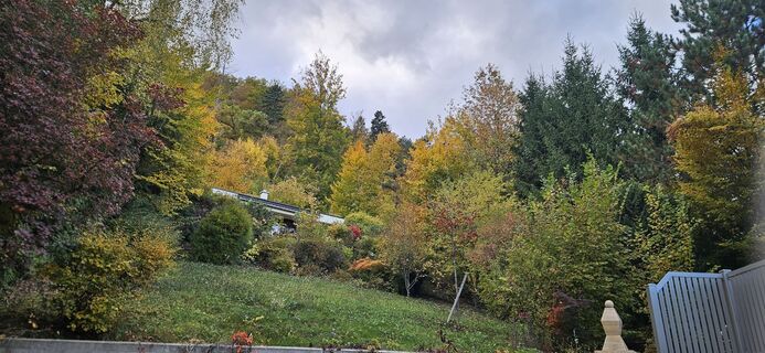
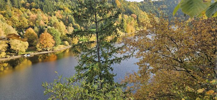
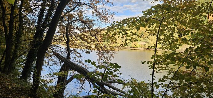
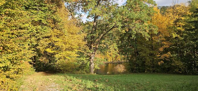
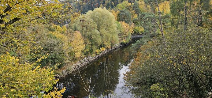
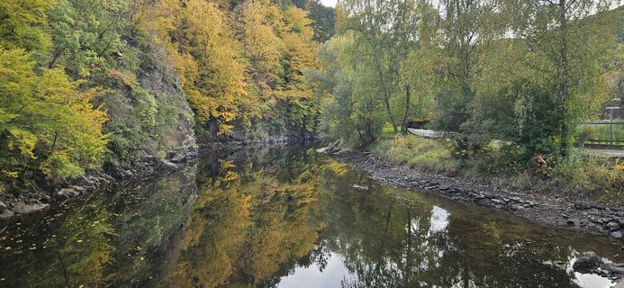
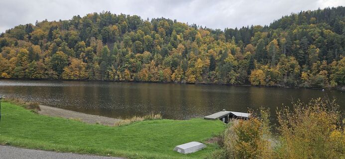
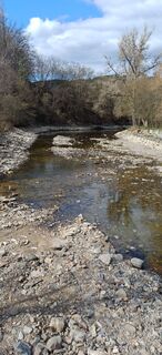
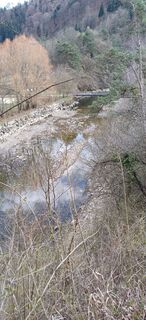
The walking time is about 2 to 2.5 hours. The starting point is Krumau am Kamp. The trail offers lots of lake views and variety. You mainly walk on forest paths.


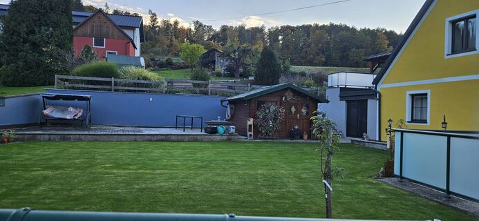
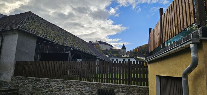
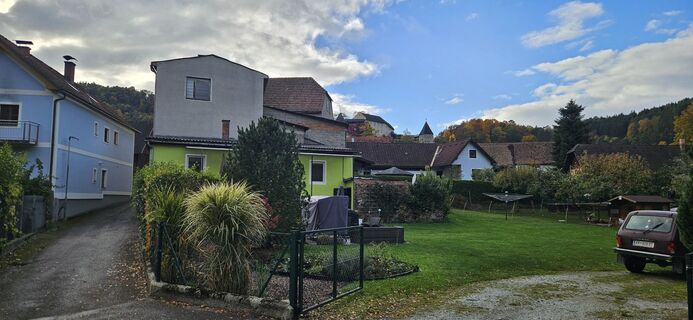
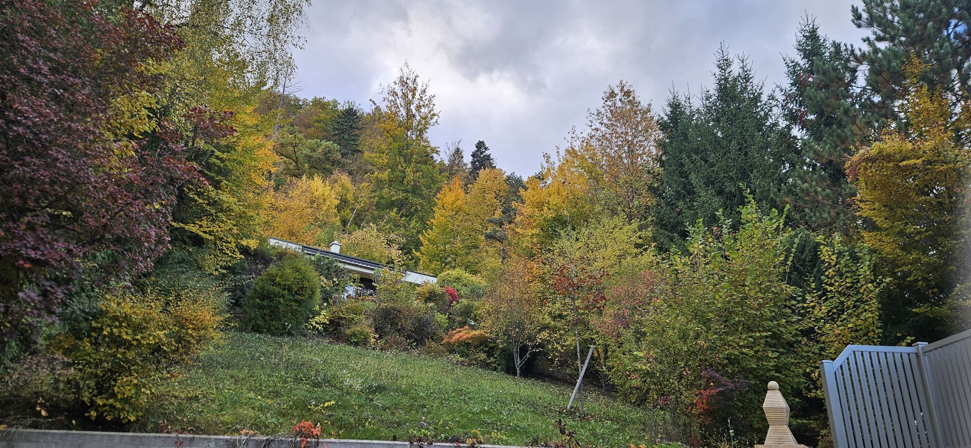
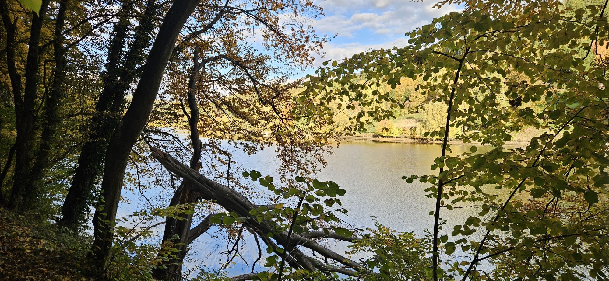
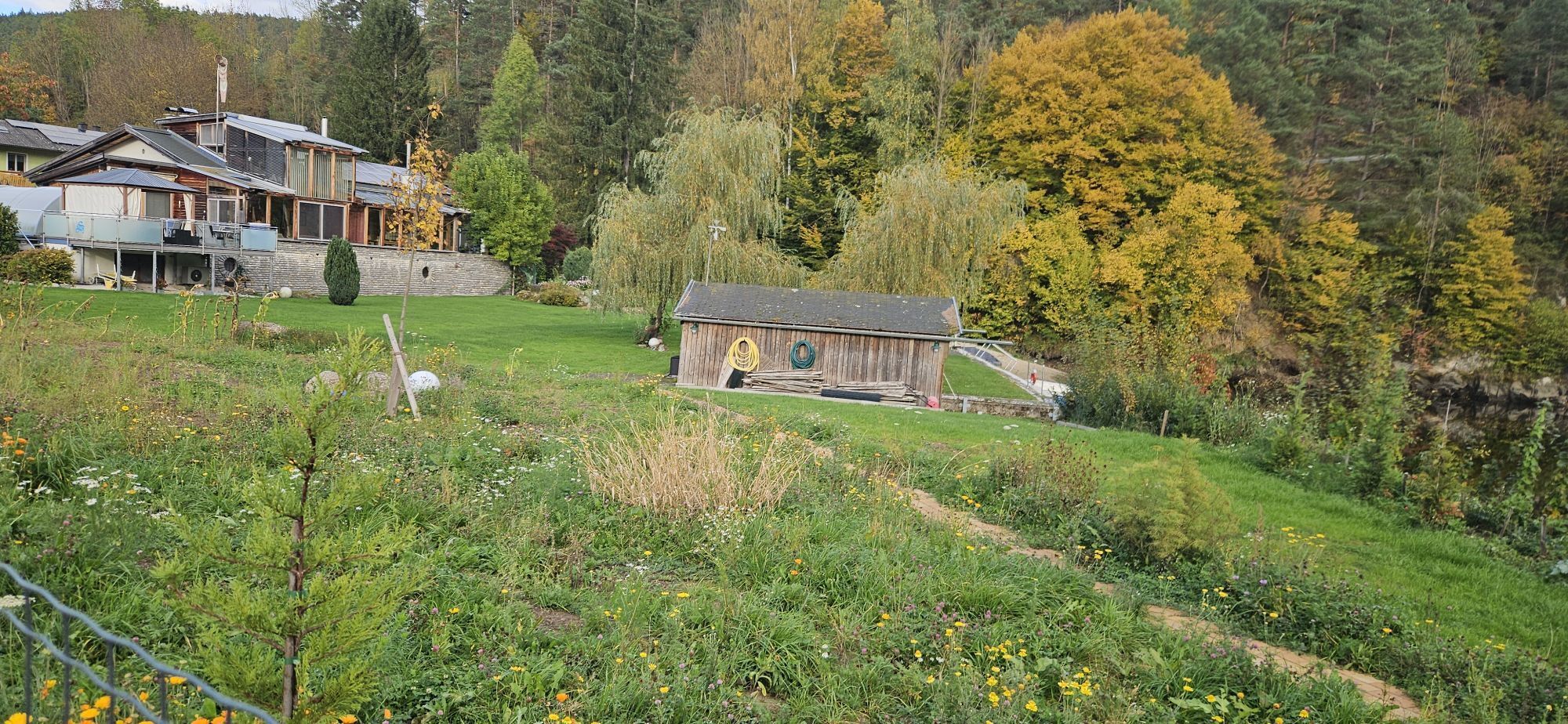
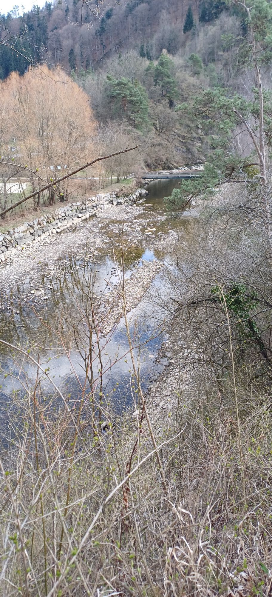
Starting from the main square, you leave the town eastwards through the settlement and turn right at the fork onto the Kamp valley lakes trail 620 or long-distance trail 06. You walk along the northern shore of the Thurnberg Reservoir to the Thurnberg Dam – always close to the water. The hike runs, except for a short stretch of road around the dam, on romantic forest paths. South of Thurnberg you continue hiking and cross the federal road and Kamp. Where the shore is wider, there are loose settlements. Above the settlements, the return route leads you along the southern side of the lake.
Da
Da
Sturdy footwear, functional clothing, sun and rain protection, map material, if necessary telescopic poles, first aid kit (blister plasters), sufficient provisions (snack, muesli bars, fruit, water).
Make sure, when choosing your route, that it matches your fitness level. Check whether the catering establishments you want to visit along the way are open. Pack your charged mobile phone and map material in your backpack. For cross-border routes always carry a passport or identity card.
Krems via A 22 or S 33. B 37 to Gföhl. Jaidhof - Eisenbergeramt - Krumau am Kamp.
Market municipality Krumau am Kamp
3543 Krumau/Kamp 22
(T) +43 2731 8230
(E) gemeinde@krumau.at
(I) www.krumau.at
Waldviertel Tourism
3910 Zwettl, Sparkassenplatz 1/2/2
(T) +43 2822 54109
(E) info@waldviertel.at
(I) www.waldviertel.at
Tururi populare în vecinătate
-
4,2
Stauseerunde
mediuExcursie 9,56 km -
4,2
Stausee Ottenstein
luminăExcursie 5,13 km -
4,2
Zwei Ruinen und ein Schloss
luminăExcursie 7,25 km -
4,0
Kampseen Rundweg Thurnberg - Krumau am Kamp
luminăExcursie 9,04 km -
3,5
Rund um die Zienner Mühle (Kamp)
mediuExcursie 10,3 km -
5,0
Horn-Altenburg-Steinegg-Rosenburg-Horn
greleMountainbike 28,9 km -
4,2
Vabindaweg Friedersbach
greleExcursie 15,2 km -
5,0
Schauensteinweg
mediuExcursie 13,1 km -
5,0
Rosenburg-Steinegg Rosenburg, Niederösterreich
Excursie 18,5 km -
4,0
Nature, Energy, Power - hiking trail no. 80a
luminăExcursie 13,2 km

Drumeții și urmărire


Nu ratați ofertele și inspirația pentru următoarea dvs. vacanță
Adresa dvs. de e-mail a fost adăugat la lista de corespondență.