


Cancano Lakes Tour


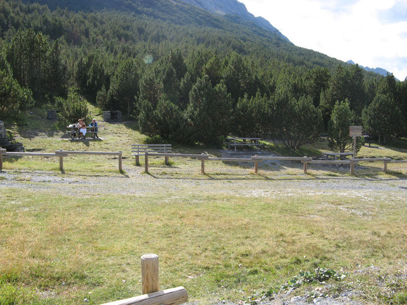
It involves no difficulty and features refreshment stops and picnic areas. It starts near the Ristoro Monte Scale along the N199 dirt road and, on a route with little elevation gain, runs alongside the...
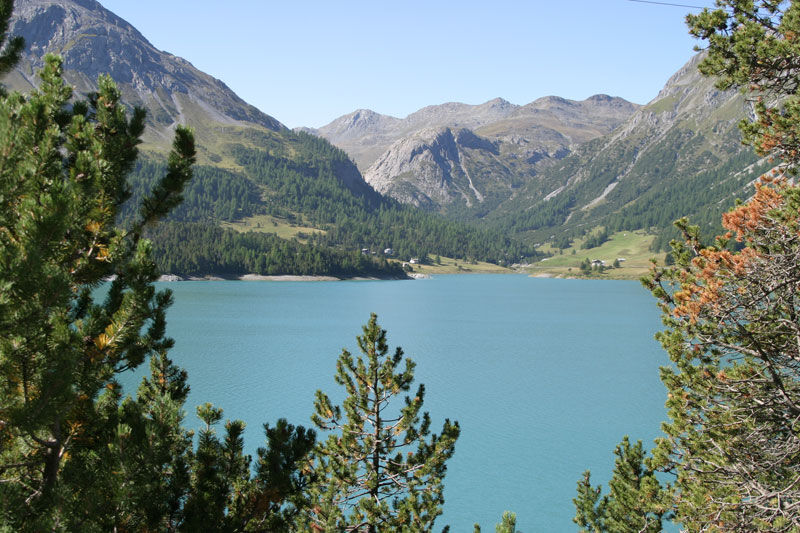
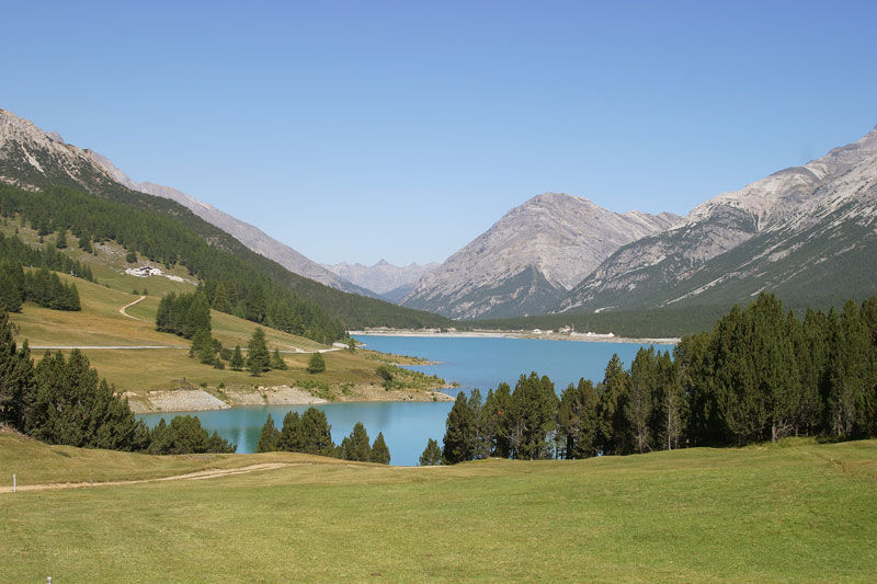
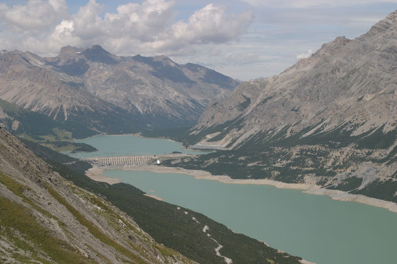
It involves no difficulty and features refreshment stops and picnic areas. It starts near the Ristoro Monte Scale along the N199 dirt road and, on a route with little elevation gain, runs alongside the Cancano and San Giacomo di Fraele dams. The former was built between 1953 and 1956 and receives the spillover waters from the San Giacomo dam and the Viola canal, while the latter dates back to 1940 but was completed in 1950 due to war events. It is fed by the Spol canal, the Alpe, Gavia, Frodolfo, Zebrù, Braulio, and Forcola streams and part of the Adda River. The route includes a complete bypass of the San Giacomo Dam, crossing the dam and returning to the starting point. In summer and at certain times of the day, the road is closed to traffic, allowing you to savor the peace and quiet of the area.
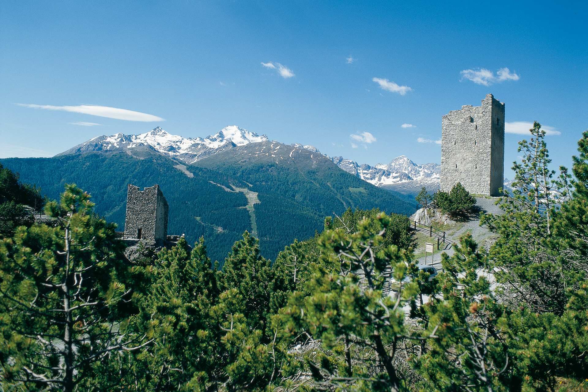
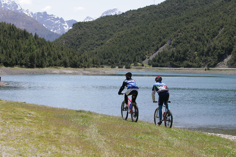
It starts from the Fraele Towers until it crosses the Scale Lake. Continue on and reach the large parking lot in the area of the A2A Building. From here it is possible to walk clockwise or counterclockwise around the perimeter of the lakes. You then return to the Fraele Towers once you have completed the loop. The trail can also be walked by bicycle.
Da
Da
Da
Da
Warm clothing is recommended and should be kept in the backpack even in summer: weather can be unpredictable and temperatures low.
Joelette travel presents no difficulty, and refreshment stations can be found along the way.
By car from Bormio or Livigno follow the signs for Cancano Lakes/Fraele Towers.
In summer there is a public transportation service to Cancano Lakes from Bormio or Valdidentro. Check the official website (Perego motorists) for schedules or contact the Valdidentro Tourist Office for information on the shuttle service.
Leave the car in the parking lot at Torri di Fraele or, past Lake of the Stairs, in the A2A power plant area
Excursion to be conducted in the summer months only
A good pair of hiking shoes and clothing appropriate for the mountain environment.
Tururi populare în vecinătate
-
4,0
Süsom Givè - Chaschlot - Valbella - Süsom Givè
mediuExcursie 9,73 km -
2,0
Military Historical Hiking Trail "Scorluzzo"
mediuExcursie 9,52 km -
4,5
Stelvio Epic Rides: Stelvio Pass
greleBicicletă de șosea 20,9 km -
5,0
Munt la Schera - Nationalpark
mediuExcursie 13,1 km -
3,0
Val Mora - A sense of the Canadian wilderness
mediuExcursie 21,6 km -
Süsom Givè - Piz Daint - Alp Buffalora
mediuExcursie 11,6 km -
4,0
Nationalpark: Munt la Schera
mediuExcursie 12,6 km -
5,0
Energy2Run Cancano
mediuTrailrunning 19,1 km -
5,0
Crap da la Pare' with Joëlette
luminăExcursie 4,58 km -
5,0
TIP Panorama Road Tyrol ➤ Stelvio Pass
luminăMotorrad 40,8 km
Drumeții și urmărire


Nu ratați ofertele și inspirația pentru următoarea dvs. vacanță
Adresa dvs. de e-mail a fost adăugat la lista de corespondență.