


Mount Forcellino


From the hamlet of San Gottardo in Valfurva, go up the meadows and enter the forest following the various clearings, passing by the huts of Gian Longo and Pra San Nicolo', and coming out of the wooded...
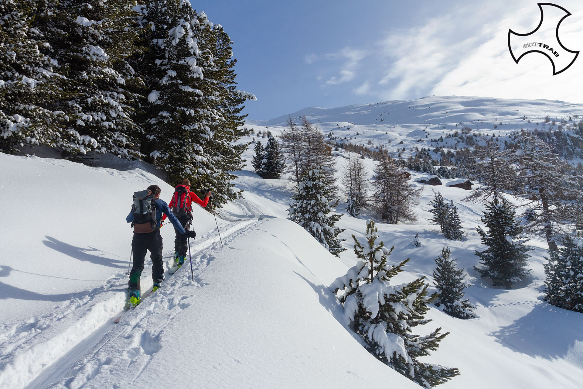
From the hamlet of San Gottardo in Valfurva, go up the meadows and enter the forest following the various clearings, passing by the huts of Gian Longo and Pra San Nicolo', and coming out of the wooded boundary you arrive at Baite Cavallaro. Pra San Nicolo' can also be reached by starting from Niblogo, a hamlet of Madonna dei Monti, entering Val Zebru' as far as Ponte delle Tre Croci and from there follow the small road that leads to Baite di Cavallaro. Now past the huts, climb up wide slopes, then follow an obvious ridge that leads near the Forcellino Pass. Once over the pass, go halfway up the ridge that is almost flat and leads to the summit.


Forni, Val Pisella, Cima dei Forni Central East
Self-rescue equipment (ARTVA, shovel and probe). Rampant.
The route description and trail are approximate and should be verified on site depending on the condition of the snowpack present during the hike.
Because this is a hike in a snowy mountain environment at high altitudes subject to continually changing snowpack conditions, it is advisable to have adequate experience in ski mountaineering, knowledge of the area, and up-to-date information on snow conditions.
Accompaniment with a professional guide is recommended.
Above the church.
The route description and trail are approximate and should be verified on site depending on the condition of the snowpack present during the hike.
Because this is a hike in a snowy mountain environment at high altitudes subject to continually changing snowpack conditions, it is advisable to have adequate experience in ski mountaineering, knowledge of the area, and up-to-date information on snow conditions.
Accompaniment with a professional guide is recommended.
Camere web ale turului
-
Cima Bianca
-
Bormio 2000
-
Cima Bianca
-
Cima Bianca
-
Cima Bianca
-
Cima Bianca
-
Bormio 2000
-
Bormio 2000
-
Bormio 2000
-
Bormio 2000
-
Bormio 2000
-
Bormio 2000
-
Bormio 2000
-
Cima Bianca
-
Cima Bianca
-
Cima Bianca
-
La Rocca
-
Parterre Pista Stelvio
-
La Rocca
-
La Rocca
-
La Rocca
-
La Rocca
-
Parterre Pista Stelvio
-
Piazza Kuerc
-
Piazza Kuerc
-
Piazza Kuerc
-
Piazza Kuerc
-
Uzza - Valfurva
Tururi populare în vecinătate
-
3,7
Von Sulden zur Hinteren Schöntaufspitze
mediuExcursie 12,7 km -
Wanderung/Aufstieg zur Payerhütte
luminăExcursie 15,9 km -
3,7
Düsseldorfer Hütte 2721m
mediuExcursie 4,14 km -
5,0
Ortler über Hintergrat
greleTur mare 8,03 km -
4,5
Obervinschgau - Madritschjoch, der höchste Transalp Übergang
Mountainbike 9,54 km -
Ortler über Meraner Weg (vom Tal/Trafoi)
greleTur mare 11,9 km -
4,5
Suldenspitze
luminăTur mare 7,69 km -
5,0
Goldtoni - Wandern - Ortler
greleTur mare 22,6 km -
3,0
Wanderung zum Hinteren Schöneck
luminăExcursie 13,2 km -
5,0
Pistenskitour zum Madritschjoch (3.123m)
luminăSkitour 16,6 km
Drumeții și urmărire


Nu ratați ofertele și inspirația pentru următoarea dvs. vacanță
Adresa dvs. de e-mail a fost adăugat la lista de corespondență.