


Wörthersee Rundwanderweg Etappe Velden - Reifnitz


Anyone starting from Velden will be greeted by water, fresh sea air and rich, orange morning light at the Seecorso - a perfect start to the day, which allows hikers to immerse themselves in the deciduous...
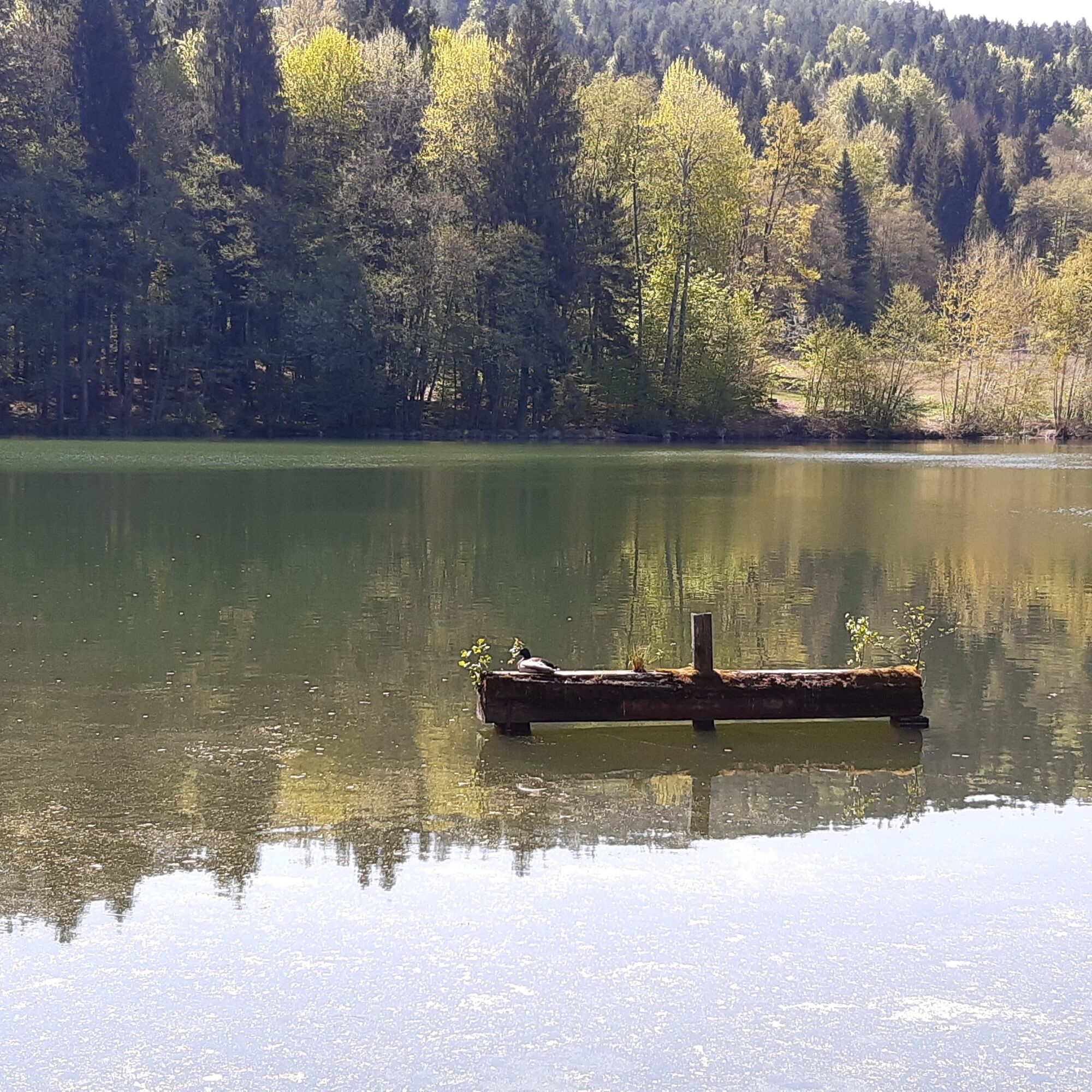
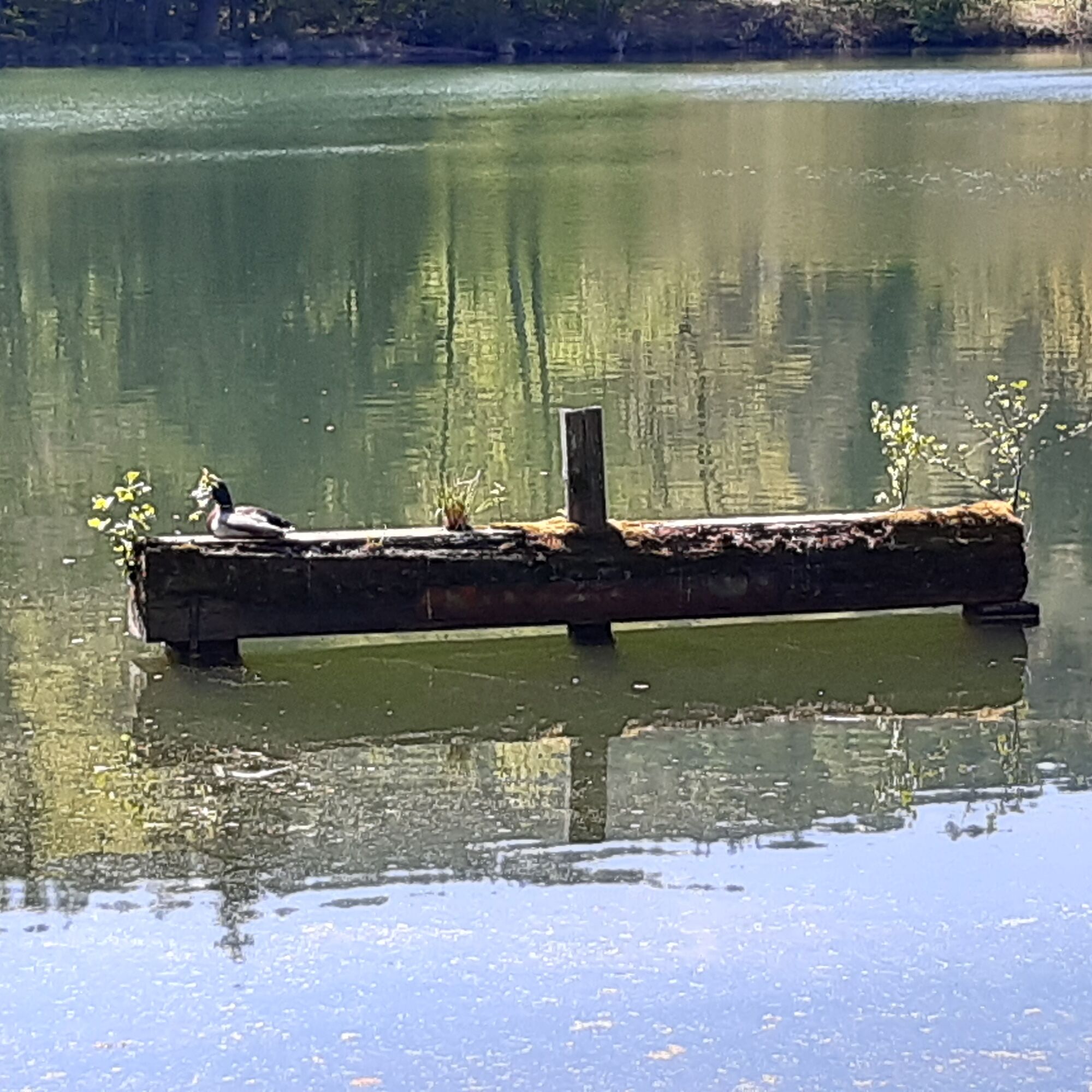
Anyone starting from Velden will be greeted by water, fresh sea air and rich, orange morning light at the Seecorso - a perfect start to the day, which allows hikers to immerse themselves in the deciduous forest on the south bank after just a short distance. After the first few steps between the large beech trees, you seem to have entered another world, because peace and quiet reign here, the busy life on the lake itself is far away. This makes it easy to find your rhythm, enjoy the many magical places along the route such as the Trattnigteich, or the view of the lake and of course the observation tower on the Pyramidenkogel.
No matter how you turn and twist, from the Pyramidenkogel you can enjoy a unique panoramic view of Carinthia and its impressive lake landscape from the world's highest wooden observation tower at a height of 920 meters. You can easily reach the viewing platforms with one of the most modern panoramic elevators in Europe or via the stairs.
Furthermore: experience gastronomy with a wonderful viewing terrace, the highest dry slide in Europe: start at a height of 51.4 meters, length 120 meters, weather-protected glass skybox.
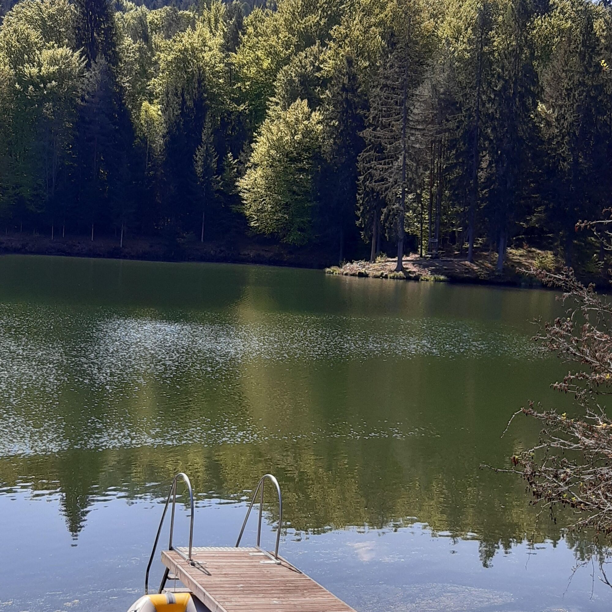
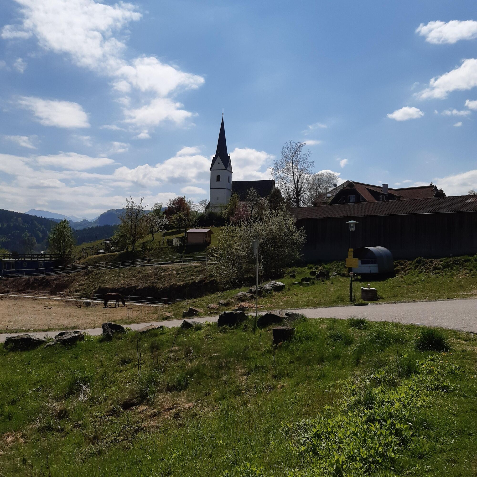
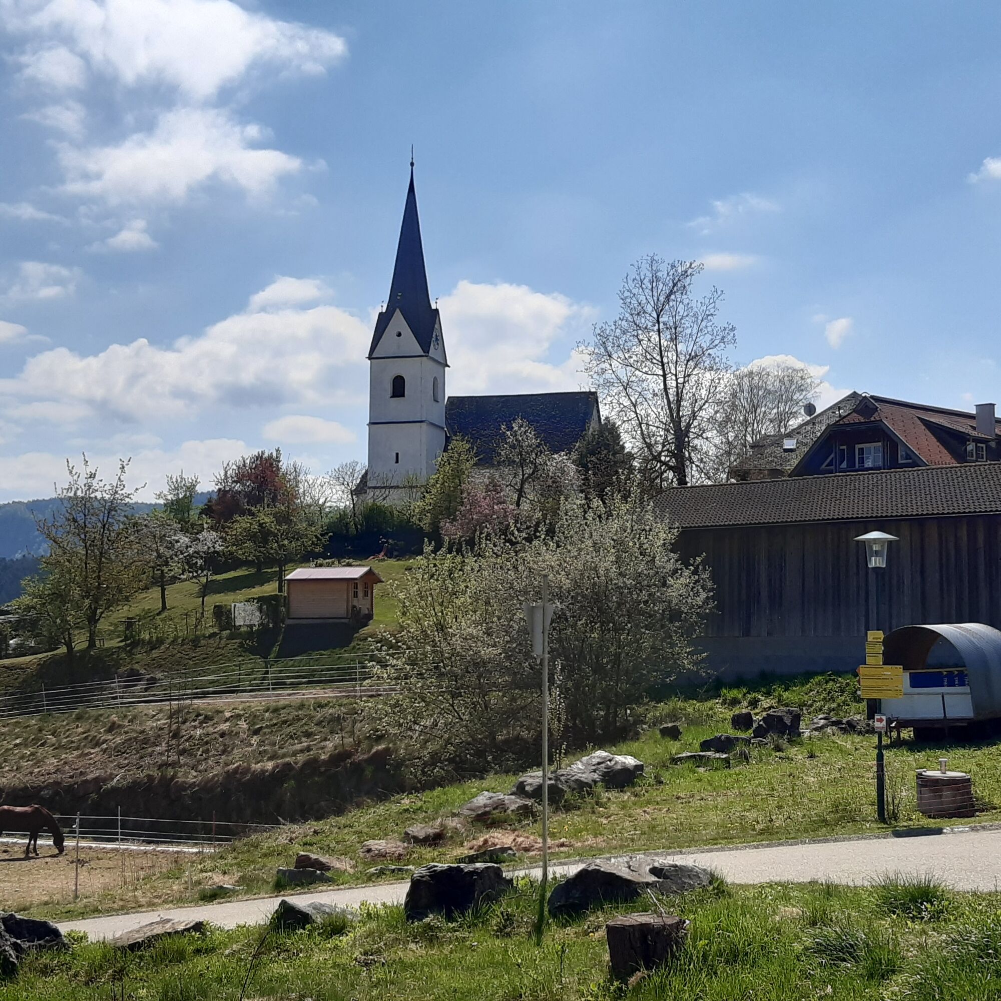
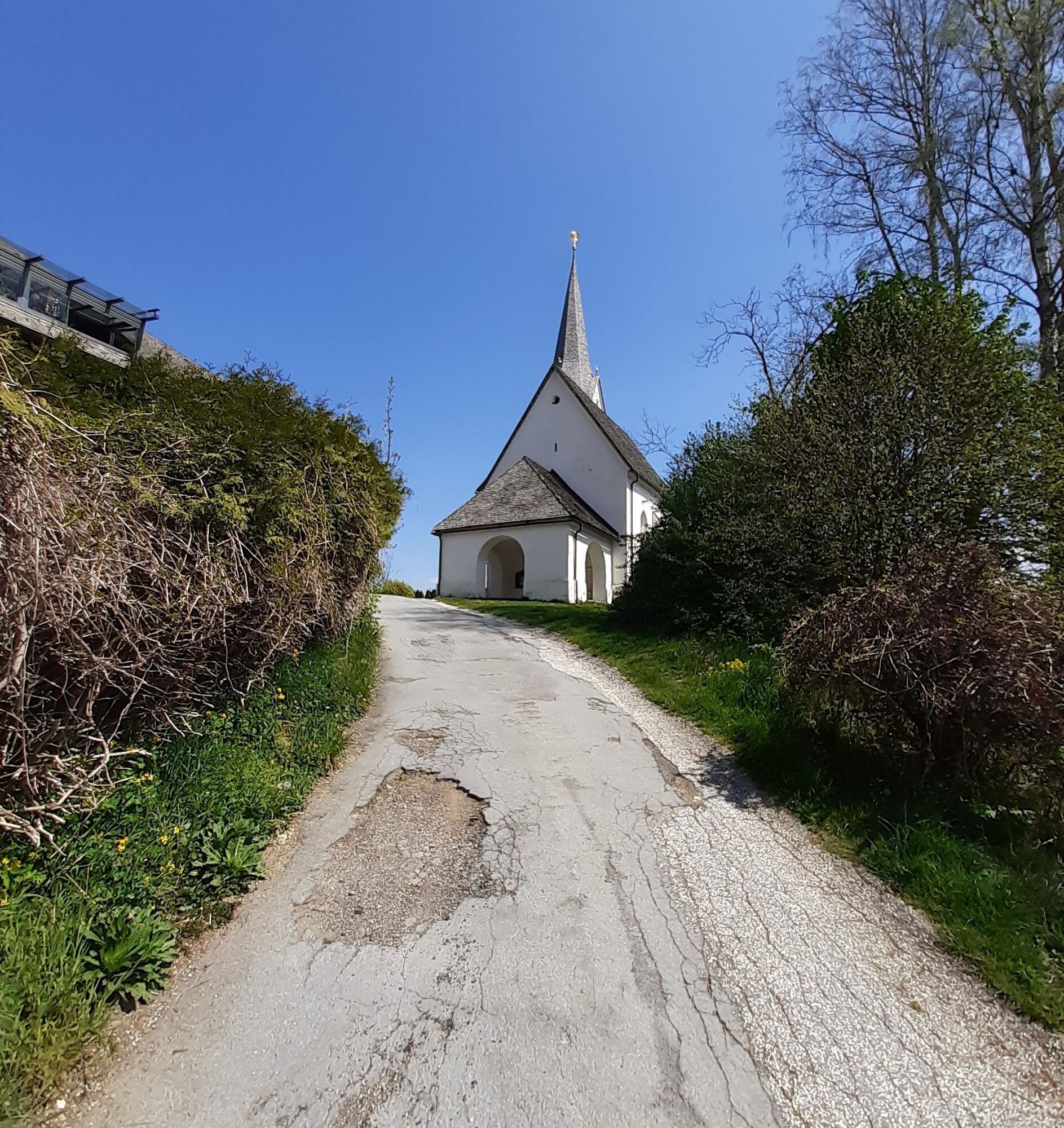
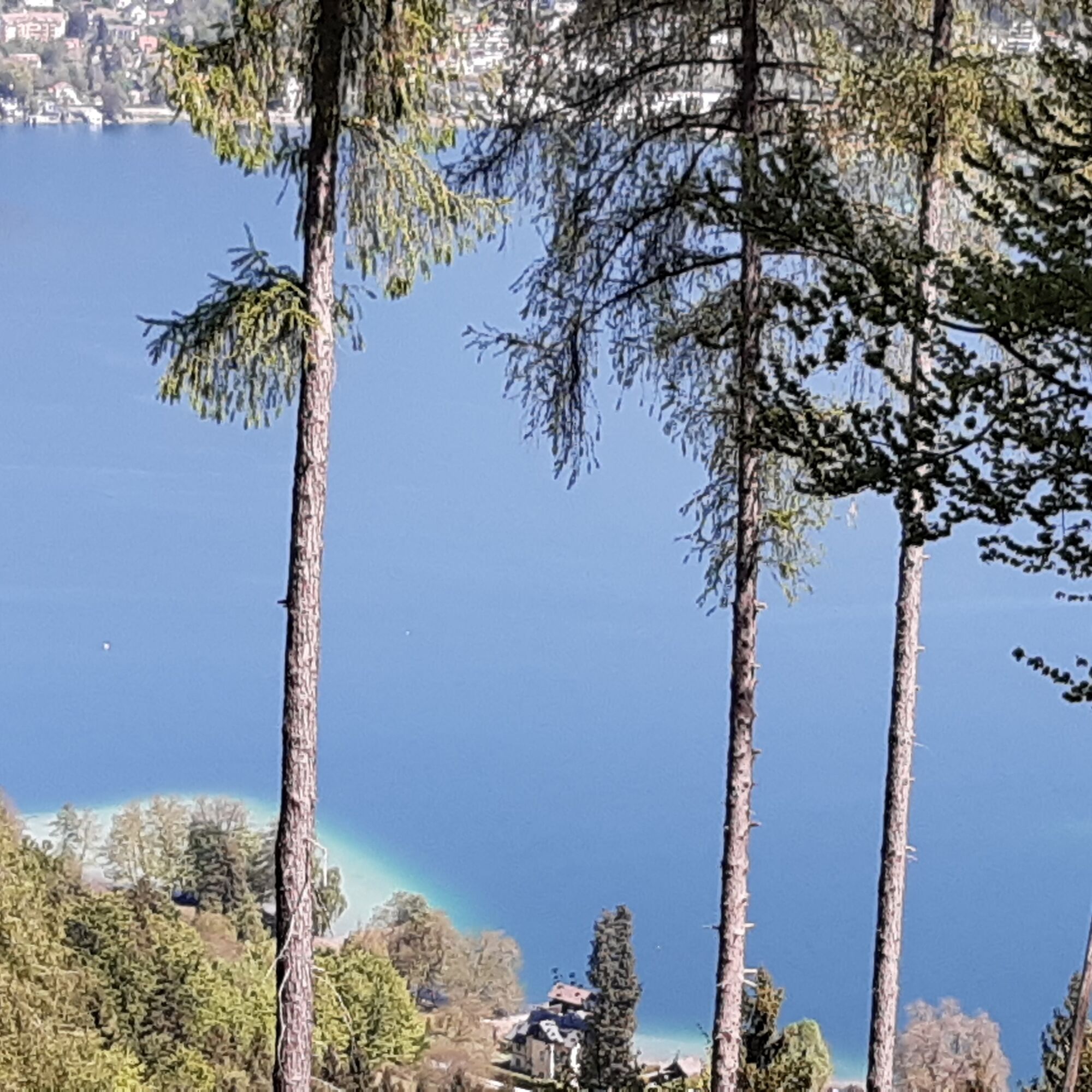
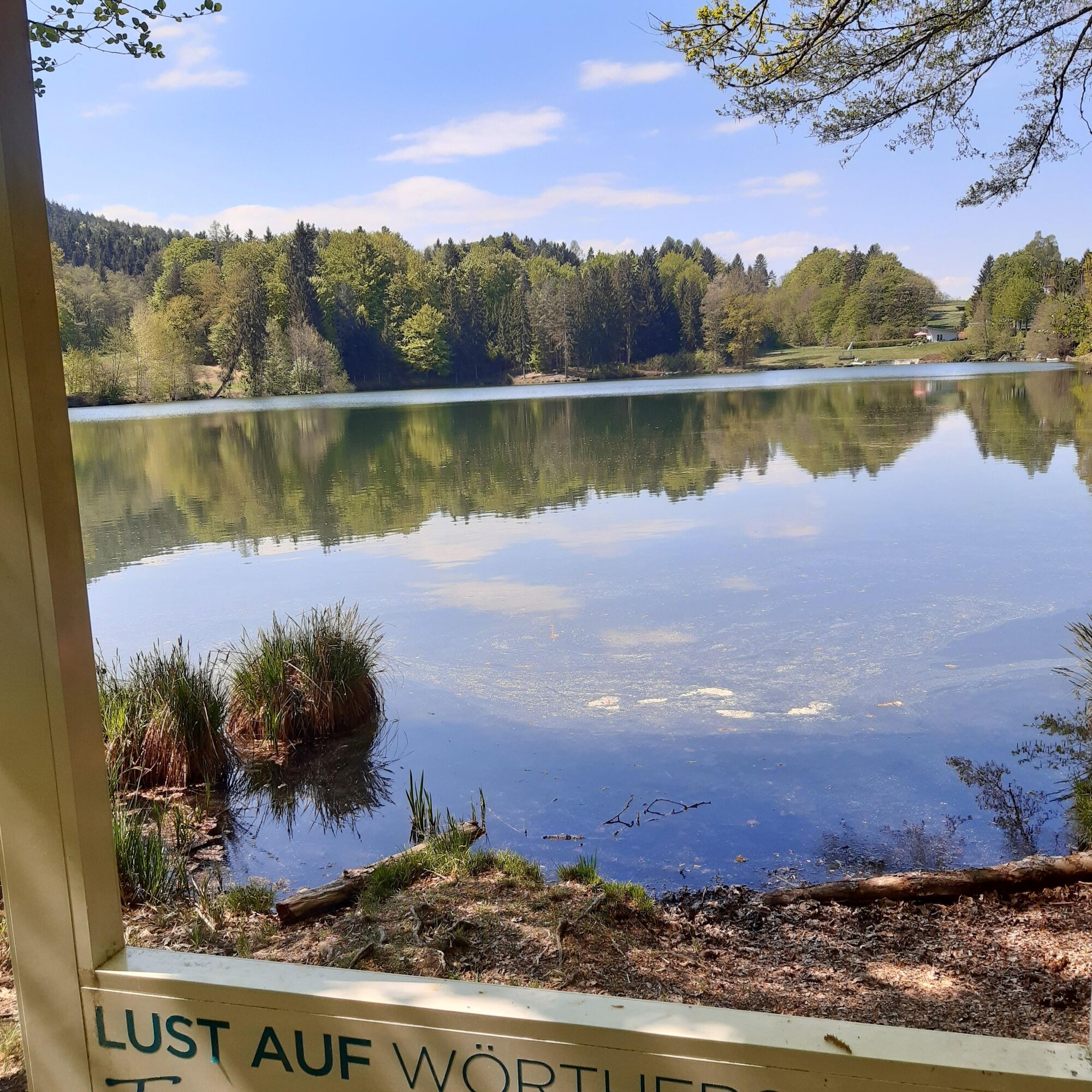
From the Velden boat dock, opposite the Velden Castle Hotel, follow the blue-white-blue markings of the Wörthersee circular hiking trail. At the Cap Wörth youth hostel, the path branches off from the Seecorso into the forest. Now it goes idyllically through the forest and across meadows to the Trattnigteich. The beautifully situated pond invites you to linger. Continue to the Teixlkreuz. Now it goes up to the Pyramidenkogel. The lift takes you to the observation tower, from where you have a wonderful view of the entire Wörthersee area to the Karawanks and Julian Alps in the south and the Nockberge in the north. The descent to the boat dock in Reifnitz takes us past the St. Anna Church. We return to Velden by boat.
Da
Auf der A2 oder B83 von Klagenfurt bzw. Villach kommend nach Velden
Arrival by bus, train or boat possible
Free parking at the Velden ice rink
https://www.woerthersee.com/wandern/
https://www.woerthersee.com/wandern/der-woerthersee-rundwanderweg
Camere web ale turului
-
Aussichtsturm Pyramidenkogel
-
Parkhotel Pörtschach
-
Velden - Bootswerft Schmalzl
-
Hotel Schloss Seefels
-
Wörthersee / Saag
-
Aussichtsturm Pyramidenkogel
-
Velden - Barry Memle
-
Velden - Barry Memle
-
Jilly Beach
-
Velden Kurpark / Karawankenplatz
-
Strandpark Velden
-
Hotel Post Wrann
-
Pörtschach Süd
-
Falkensteiner Schlosshotel Velden
-
Pyramidenkogel Aussichtsturm
-
Werzers Hotel Resort
-
Skilift Fahrendorf
-
Kathreinkogel - Schiefling am Wörthersee
Tururi populare în vecinătate
-
3,9
Lake Wörthersee Circular Route
mediuCiclism 41,2 km -
3,5
Forstsee Runde
luminăExcursie 4,26 km -
4,2
Pyramidenkogel Trail Maria Wörth
mediuExcursie 10,8 km -
4,7
Sinacher Gupf crossing
mediuExcursie 8,32 km -
3,3
Around Lake Ossiach
mediuCiclism 68,7 km -
4,3
Slow Trail Brahmsweg
mediuExcursie 5,86 km -
3,8
Lake Ossiach cycle path - R2 and R2A
mediuCiclism 28,2 km -
5,0
Pyramidenkogelweg Keutschach
mediuExcursie 13,8 km -
4,1
Slow Trail Swing Path (St. Margarethen Route)
mediuExcursie 6,21 km -
4,0
Hohe Gloriette
luminăExcursie 5,27 km
Drumeții și urmărire


Nu ratați ofertele și inspirația pentru următoarea dvs. vacanță
Adresa dvs. de e-mail a fost adăugat la lista de corespondență.