


Rundtour Mauthner Alm - Hinterjoch - Untere Valentinalm


Fotografii ale utilizatorilor noștri
-

 © Harald SalcherCreat pe 16.10.2022
 -
 © Harald SalcherCreat pe 16.10.2022
 -
 © Matthias DiezingerCreat pe 19.09.2022
 -
 © Matthias DiezingerCreat pe 19.09.2022
 -
 © grabhers beerCreat pe 24.08.2024
 -
 © Harald SalcherCreat pe 16.10.2022
 -
 © gdogCreat pe 24.08.2022
 -
 © gdogCreat pe 24.08.2022
 -
 © gdogCreat pe 24.08.2022


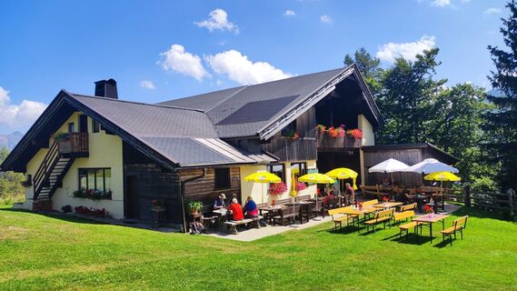
From the Lamprechtbauer it goes uphill, past the Enzianhütte, to the Mauthner Alm or after the Enzianhütte at the former drag lift mountain station to the right over the half-shaded path to the "Hansile-Hütte"...
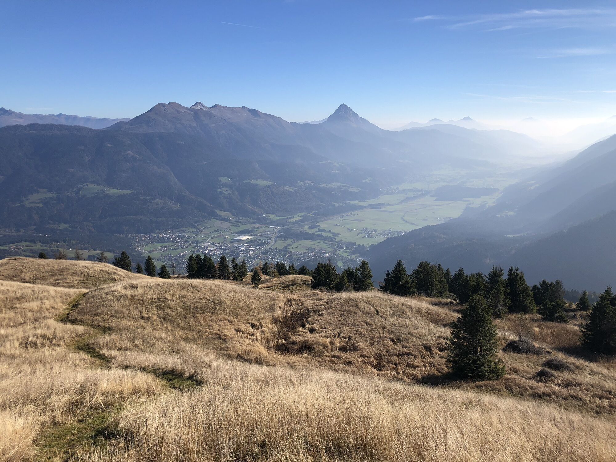
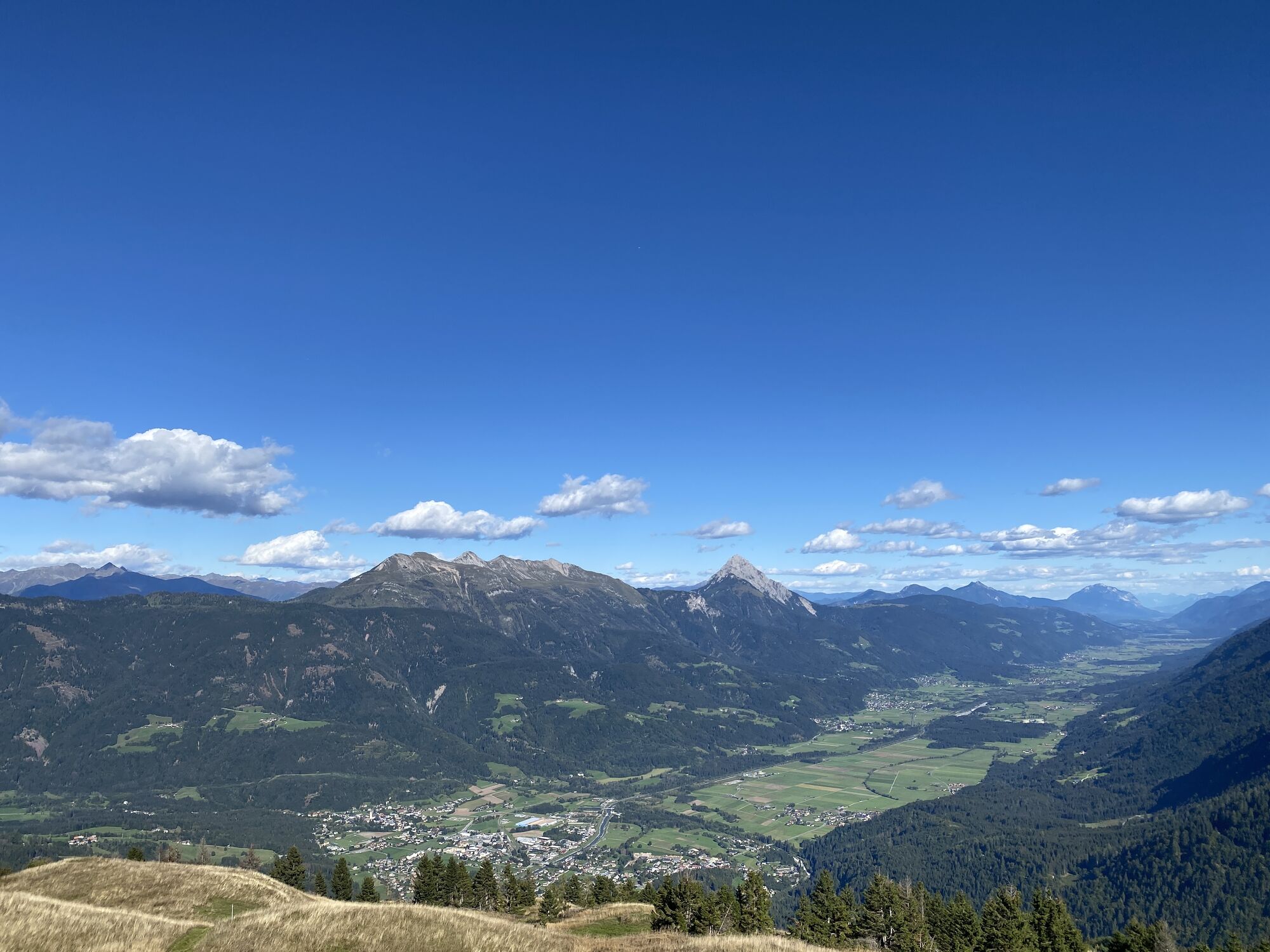
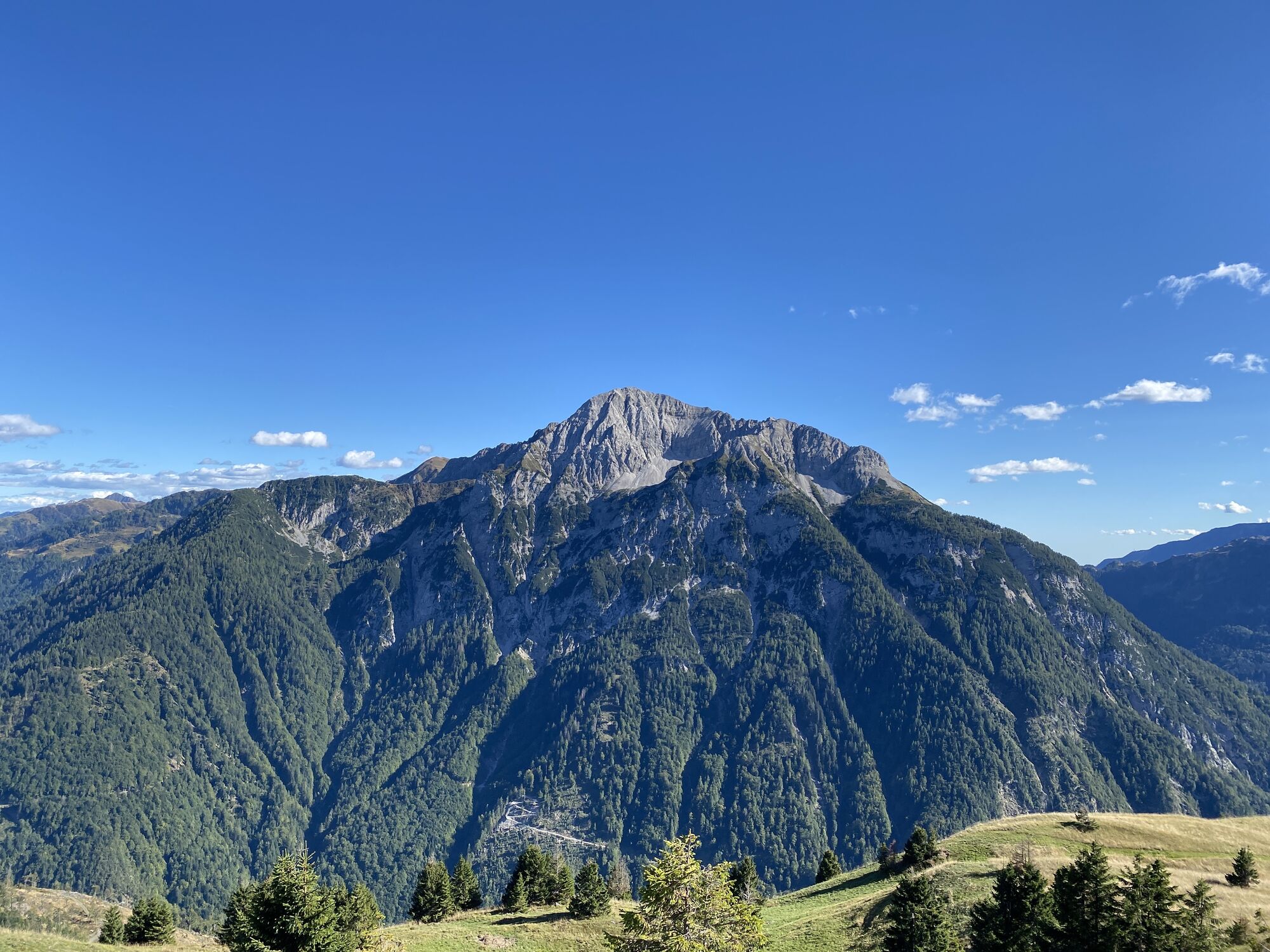
From the Lamprechtbauer it goes uphill, past the Enzianhütte, to the Mauthner Alm or after the Enzianhütte at the former drag lift mountain station to the right over the half-shaded path to the "Hansile-Hütte" and to the left to the top of the Mauthner Alm, further over the path to the Hinterjoch. Over the high plateau you reach the Hinterjoch (1875m). From here the steep descent (ÖAV trail no. 432) leads to the Untere Valentinalm. However, those who prefer steep ascents and gentler descents should choose the Untere Valentinalm as the starting point of this tour.


Da
Anfahrt über die B111 nach Kötschach-Mauthen. Der B110 in Richtung Plöckenpass (italienische Staatsgrenze) folgen. Rechts abbiegen zum Lamprechtbauer und der Straße folgen.
Anreise nach Kötschach-Mauthen mit öffentlichen Verkehrsmitteln möglich.
Am Startplatz sind Parkplätze verfügbar.
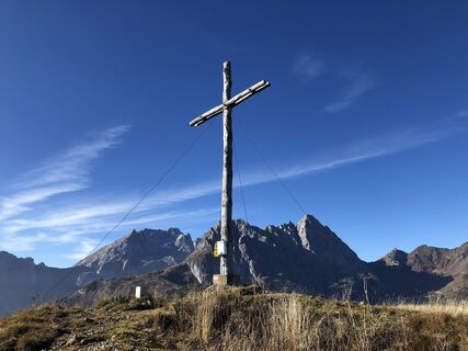
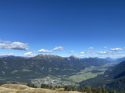
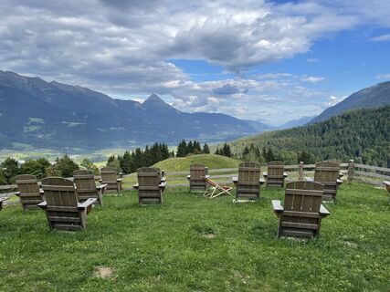
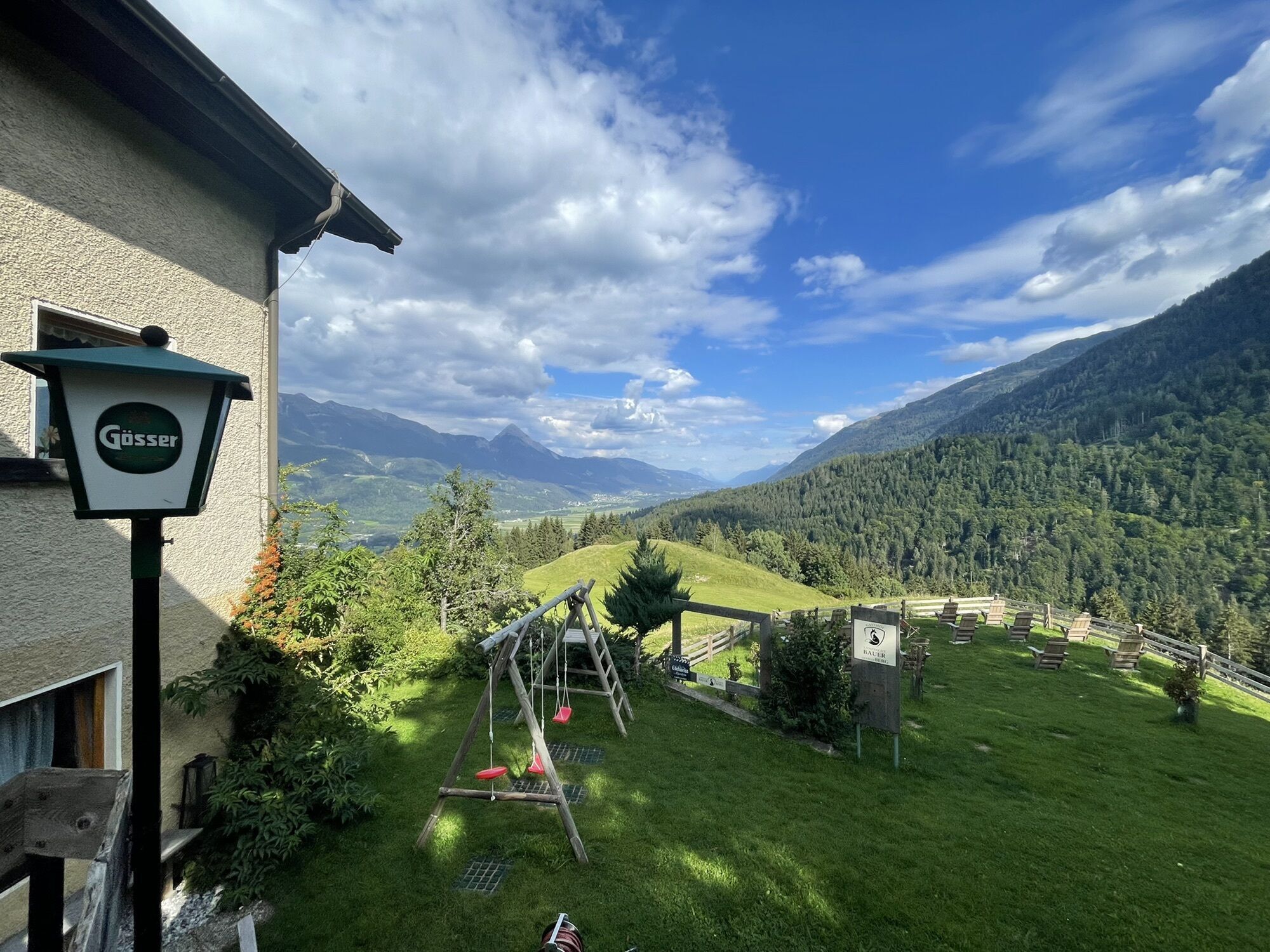
Special features: GEO-TRAIL panoramic panels at the Enzian Hut and at Hinterjoch, magnificent viewpoint, possibly organize return trip or walk home via the Römerweg (+3 hours).
Camere web ale turului
Tururi populare în vecinătate
-
4,3
Mountainbiketour von der Hubertuskapelle zum Wolayersee
greleMountainbike 9,06 km -
4,9
Karnischer Hauptkamm - Hohe Warte 2.780m - Hike and Bike
greleExcursie 19,5 km -
3,7
Cellon-Stollen und Senza Confini auf den Cellon und Steinberger Weg zum Abstieg
mediuVia ferrata 7,09 km -
4,5
Karnischer Höhenweg – Etappe 4: Hochweißsteinhaus – Wolayersee Hütte
greleTraseu de drumeție pe distanțe lungi 15,9 km -
2,9
Wolayersee
greleExcursie 7,90 km -
3,6
RW_N61 Kleiner Pal (1,867 m)
mediuExcursie 6,95 km -
3,9
Summit hike to the Hochstadel
mediuExcursie 7,83 km -
Rauchkofel
mediuSkitour 15,5 km -
Hohe Warte (2.780 m) - Weg der 26er
greleVia ferrata 14,2 km -
4,6
Obergail - Obergailer Alm - Obergailer Lake - Enderberg hut - Source for Health & Peace - Madonna circular hiking route - Obergail
mediuExcursie 11,4 km
Drumeții și urmărire


Nu ratați ofertele și inspirația pentru următoarea dvs. vacanță
Adresa dvs. de e-mail a fost adăugat la lista de corespondență.