


Nockberge-Trail: Hiking route stage 4


Fotografii ale utilizatorilor noștri
-

 © GessiCreat pe 12.10.2025
 -
 © GessiCreat pe 12.10.2025
 -
 © GessiCreat pe 12.10.2025
 -
 © GessiCreat pe 12.10.2025
 -
 © GessiCreat pe 12.10.2025
 -
 © GessiCreat pe 12.10.2025
 -

 © Stefan ZedlacherCreat pe 31.08.2025
 -
 © Stefan ZedlacherCreat pe 31.08.2025
 -
 © Stefan ZedlacherCreat pe 31.08.2025
 -
 © Stefan ZedlacherCreat pe 31.08.2025
 -
 © Hannes GelterCreat pe 27.08.2025
 -
 © Dagmar HoferCreat pe 26.08.2025
 -
 © Dagmar HoferCreat pe 26.08.2025
 -
 © Dagmar HoferCreat pe 26.08.2025
 -
 © Dagmar HoferCreat pe 26.08.2025
 -
 © Dagmar HoferCreat pe 26.08.2025
 -
 © Dagmar HoferCreat pe 26.08.2025
 -
 © Katl23Creat pe 19.08.2025
 -
 © Manfred ZarnhoferCreat pe 15.08.2025
 -
 © Manfred ZarnhoferCreat pe 15.08.2025
 -
 © Kreva89Creat pe 10.08.2025
 -
 © Kreva89Creat pe 10.08.2025
 -
 © Kreva89Creat pe 10.08.2025
 -
 © Kreva89Creat pe 10.08.2025
 -
 © tjiongCreat pe 29.06.2025
 -
 © tjiongCreat pe 29.06.2025
 -
 © tjiongCreat pe 29.06.2025
 -
 © tjiongCreat pe 29.06.2025
 -
 © Hannes GelterCreat pe 13.06.2025
 -
 © Daniel Kössler-BeguschCreat pe 01.06.2025
 -
 © Daniel Kössler-BeguschCreat pe 01.06.2025
 -
 © Daniel Kössler-BeguschCreat pe 01.06.2025
 -
 © Dagmar HoferCreat pe 18.07.2024
 -
 © Daniela König 1Creat pe 06.07.2024
 -
 © Daniela König 1Creat pe 06.07.2024
 -
 © Melanie HörzerCreat pe 01.09.2022
 -
 © Samuel SpitalerCreat pe 15.11.2020
 -
 © PatrickVonGurkCreat pe 20.09.2025
 -
 © Franz SeidlCreat pe 21.03.2025
 -
 © Franz SeidlCreat pe 18.03.2025
 -
 © Franz SeidlCreat pe 18.03.2025
 -
 © Franz SeidlCreat pe 18.03.2025
 -
 © Franz SeidlCreat pe 07.03.2025
 -
 © Franz SeidlCreat pe 07.03.2025
 -
 © Franz SeidlCreat pe 04.03.2025
 -
 © Franz SeidlCreat pe 04.03.2025
 -
 © Franz SeidlCreat pe 22.02.2025
 -
 © Martina OitzingerCreat pe 11.08.2024


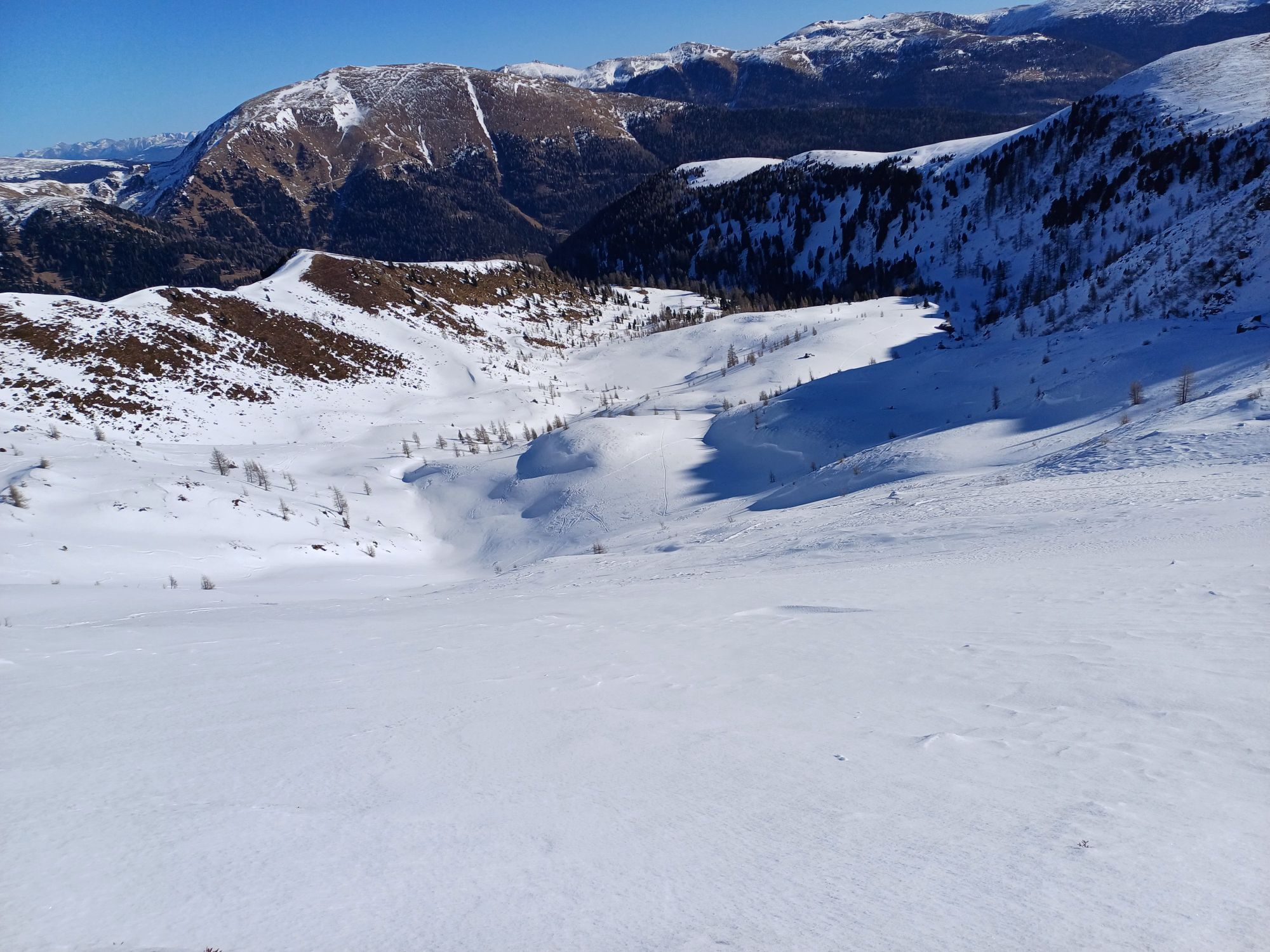
In the heart of the Nockberge mountains: From the lake Turrachsee to the lake Falkertsee via Rinsennock mountain, Prießhütte and Kleine Scharte


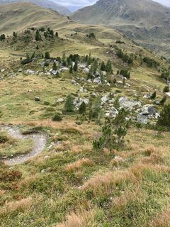
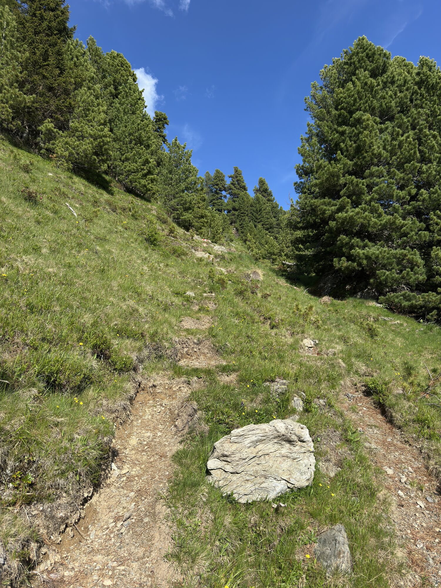
The starting point of stage 04 is located at the valley station of the Nocky-Flitzer, a summer toboggan run with a cableway on the Turracher Höhe. From here you walk along the Barbara Weg direction southwest: First, you climb through forest to an avalanche barrier and then come into an elongated side valley, the so-called “Kormulde”. Here you choose the right path, over which you will shortly reach the old mine - cinnabar was mined here in the past.
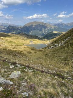
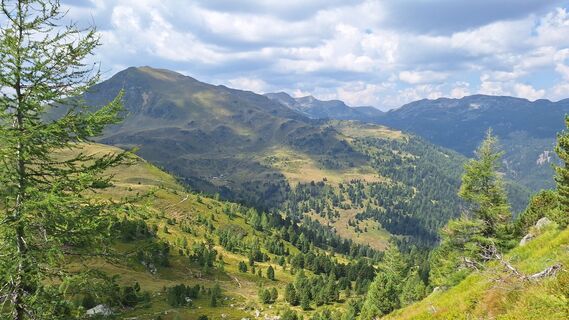
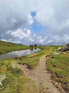
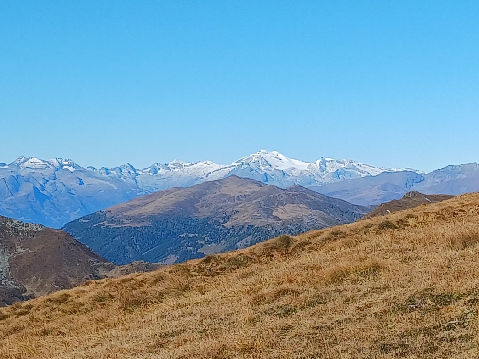
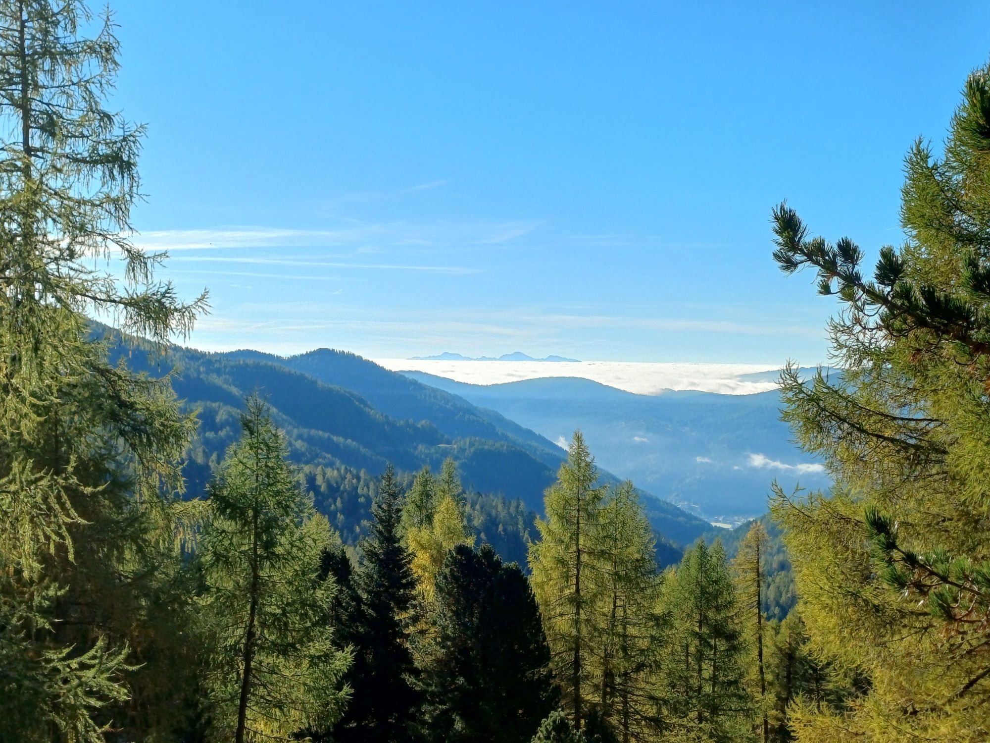
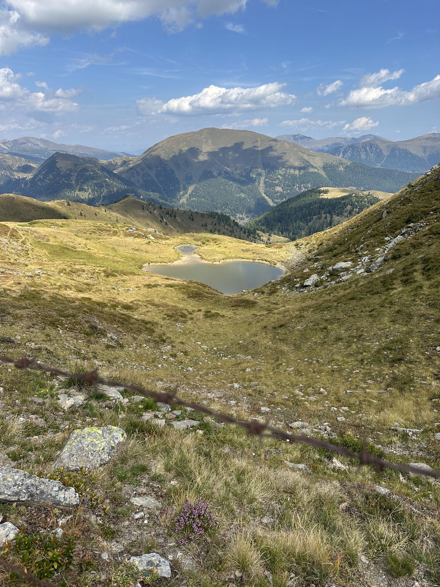
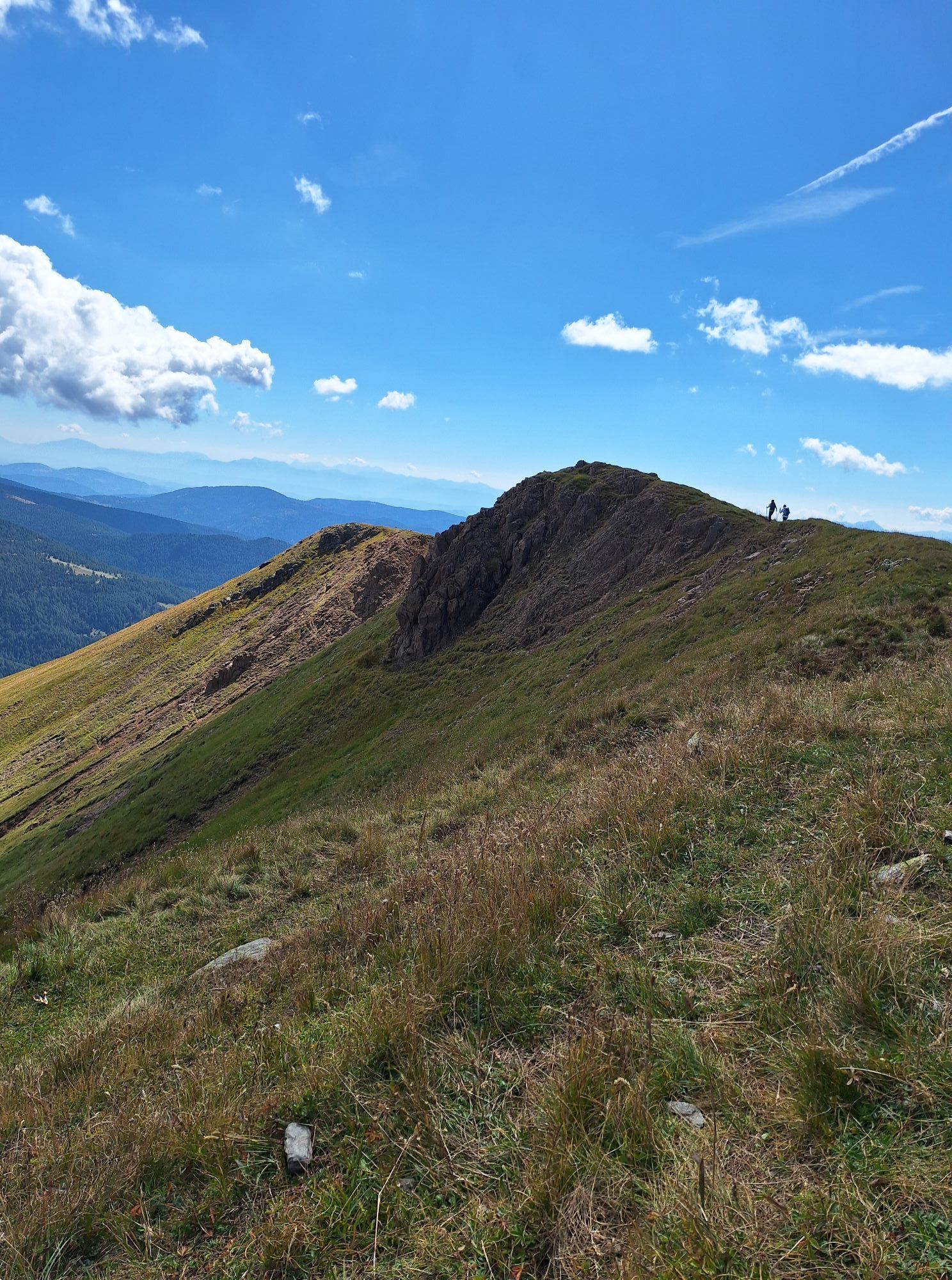
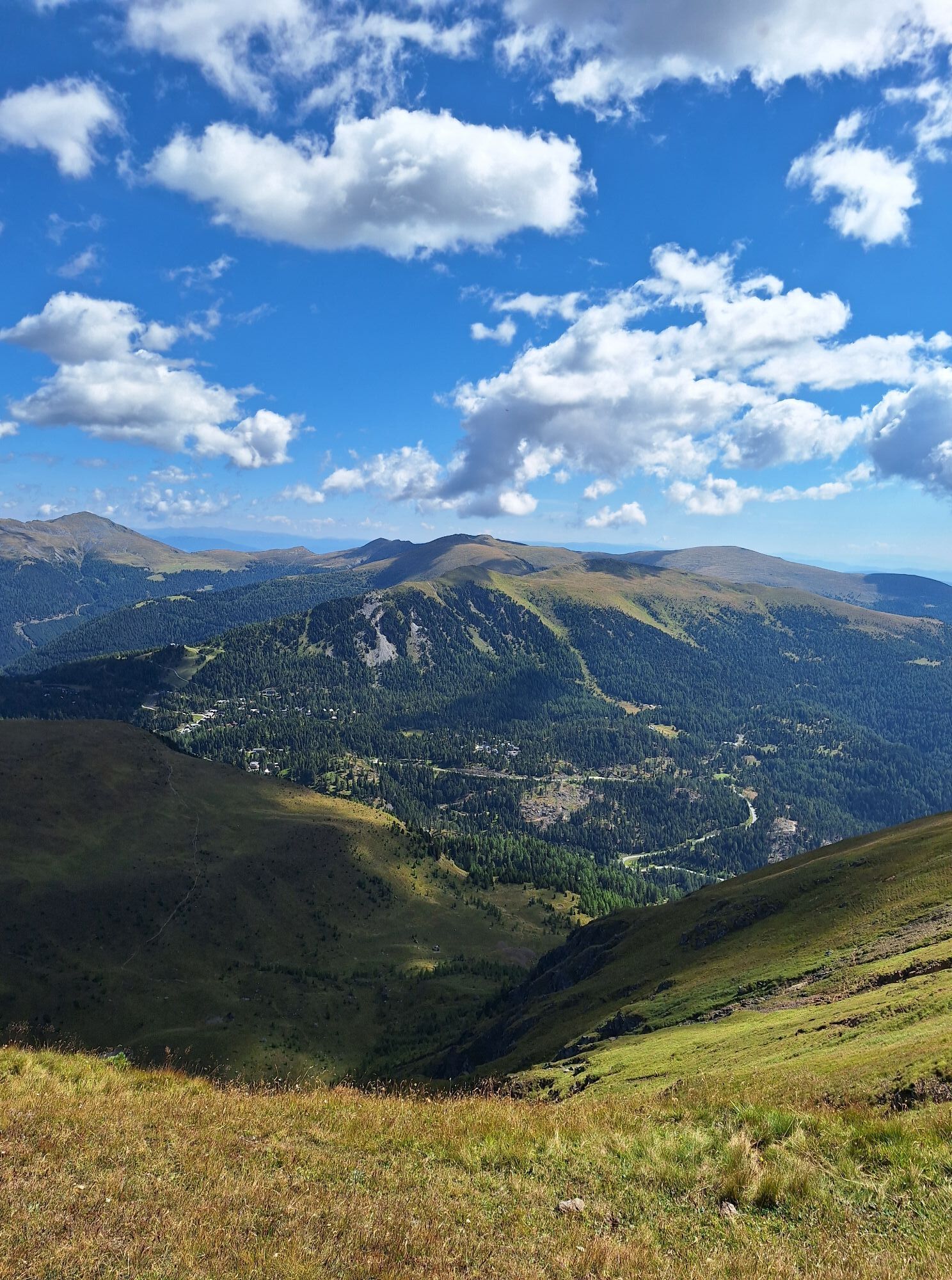
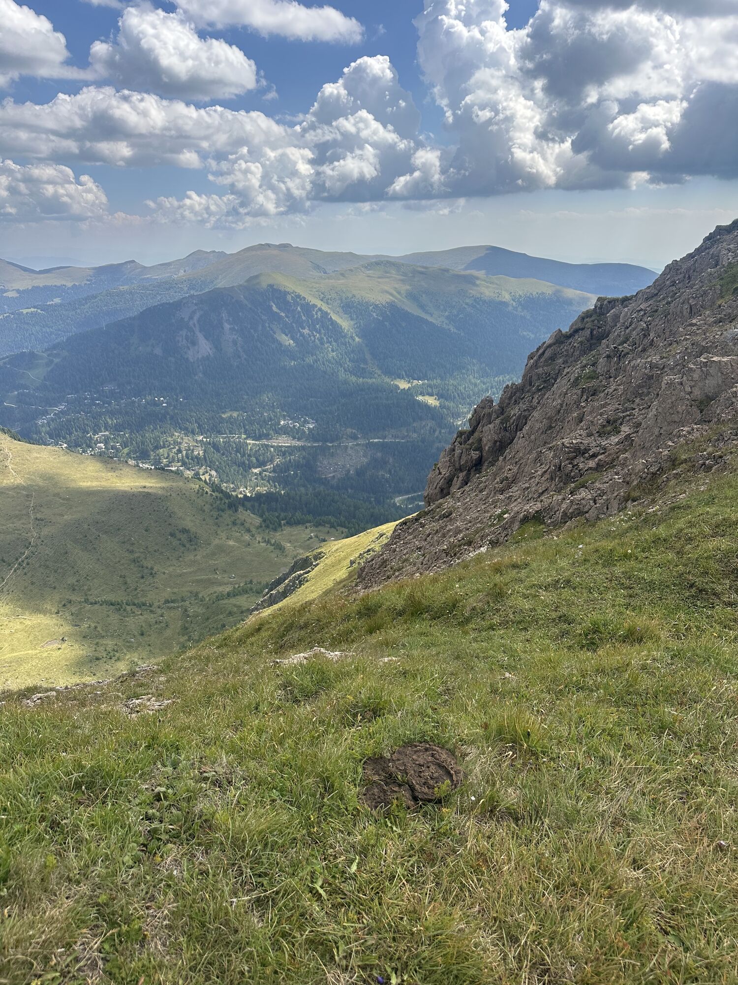
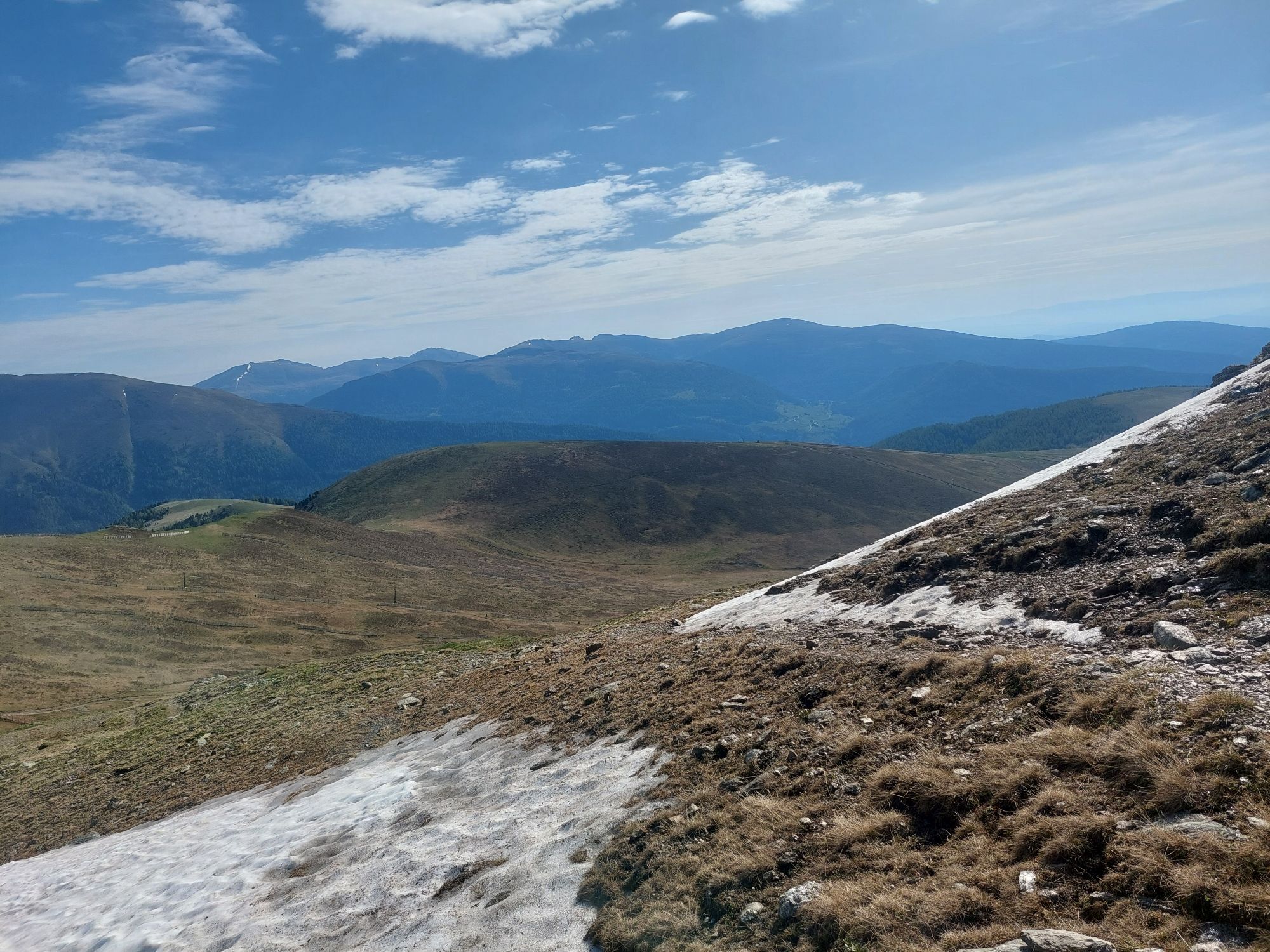
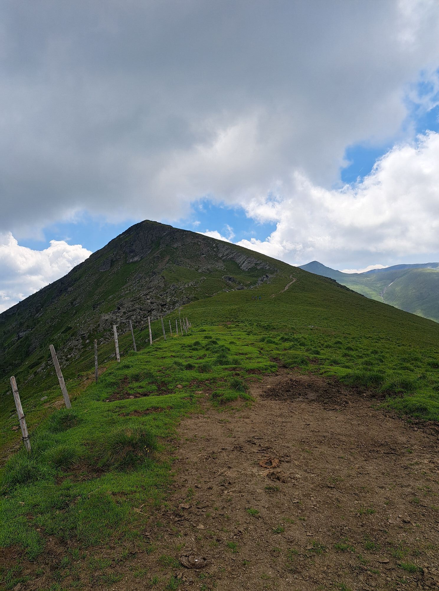
From here you continue to the ridge that descends from the Rinsennock to the southeast and reach with this trail (no. 149) the summit of the Rinsennock - the highest point for today (2.334m). From there, once again you can enjoy a wonderful view of the lake Turrachsee.
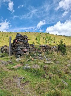
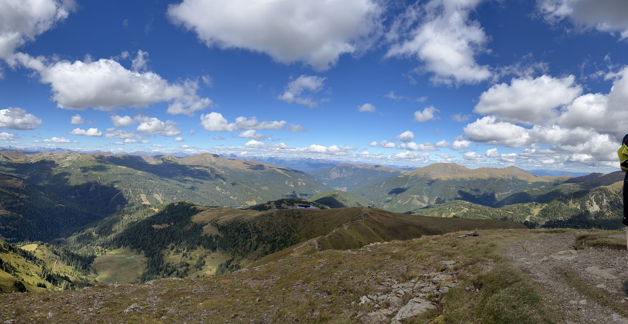
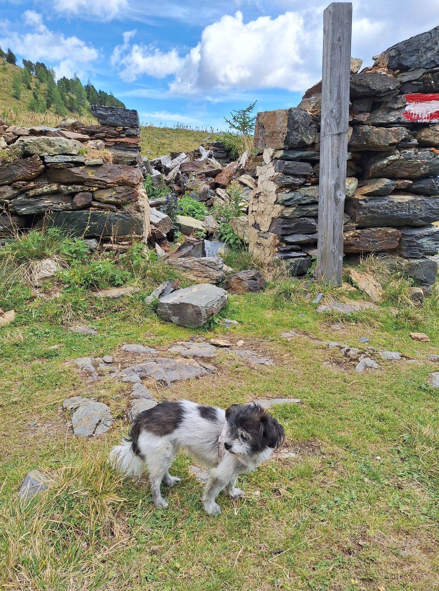
From here you walk down west until you reach the path of yesterday's stage. The next section (route no. 126) is identical to yesterday's stage, except that you walk in the opposite direction: This is how you reach the next destination, the Pregatscharte. There you follow the trail no. 126 direction Königstuhl/Prießhütte (Salzsteigweg) for another good half hour, until the left lane branches off towards Prießhütte. Now follow this path (no. 123) in an arc beneath the Koflernock until you reach the Prießhütte, where you can take a little rest.
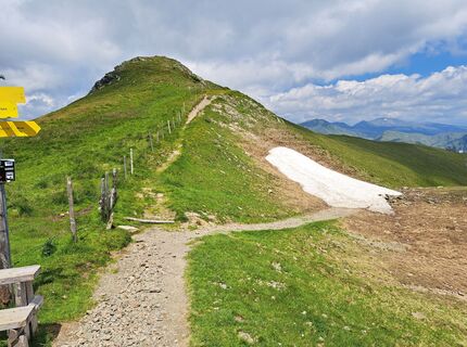
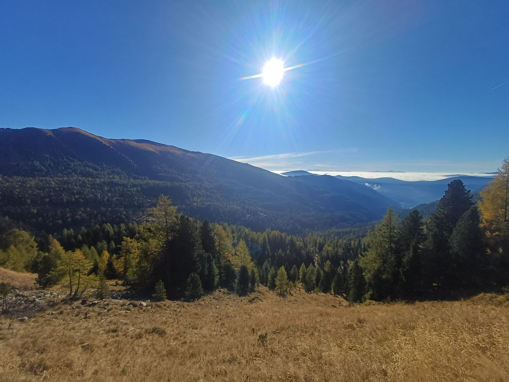
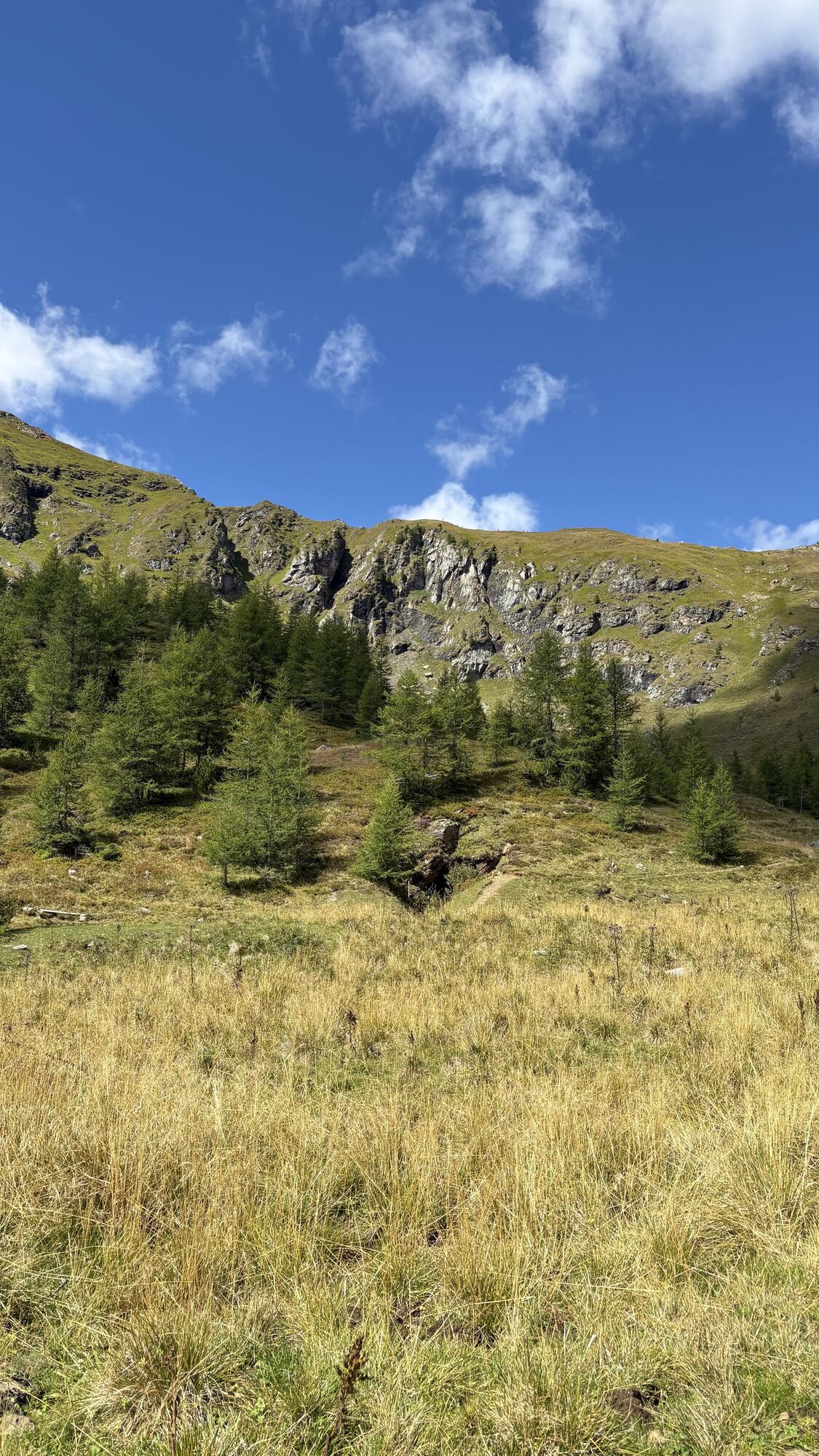
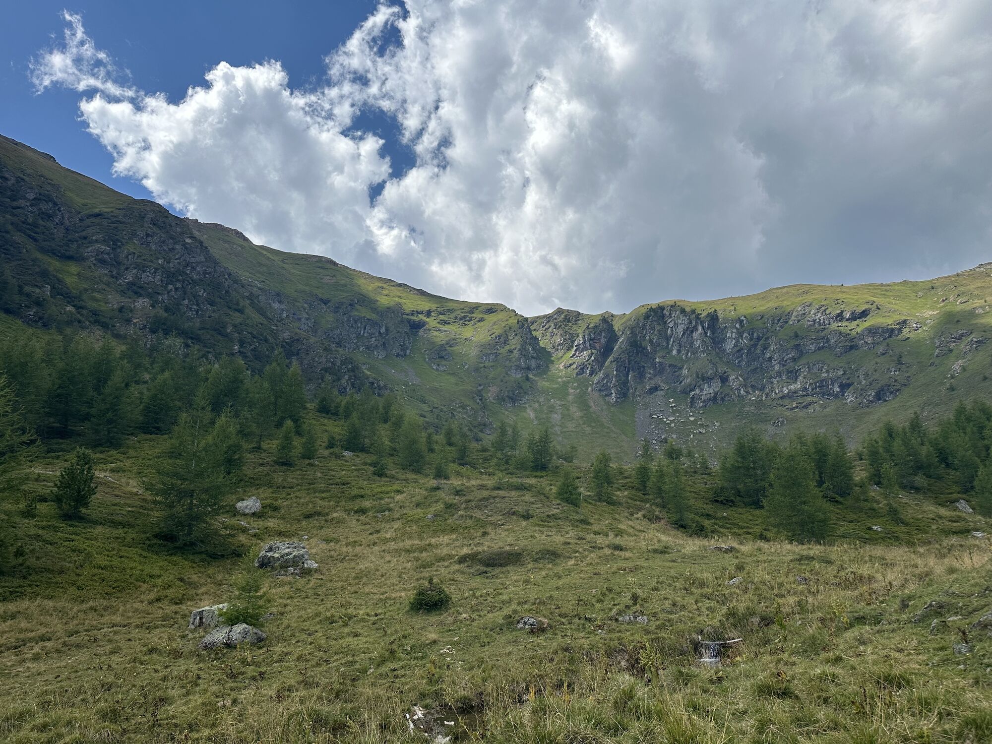
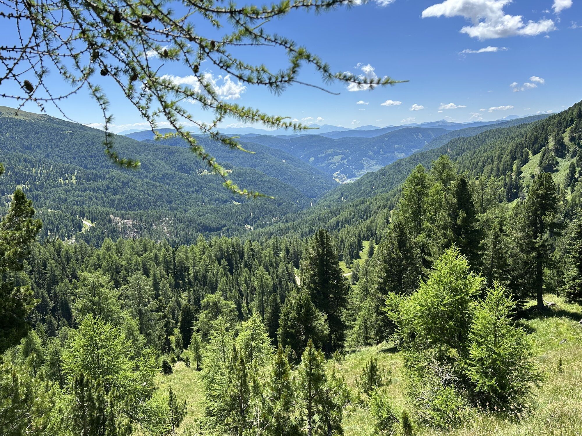
After this short relaxation you continue uphill along the Nockalm Road, which is heavily frequented by cars and especially by motorcycles. But do not worry, this section of the trail is not long: after a few bends (about 2 km, 35 min walking time), the trail no. 123 or 3 branches off in a right turn. This leads first to the Auernighütte and then steeply uphill to the plateau “Flache Scharte”.
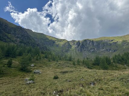
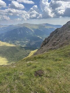
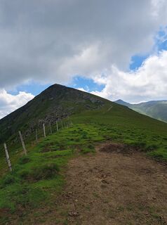
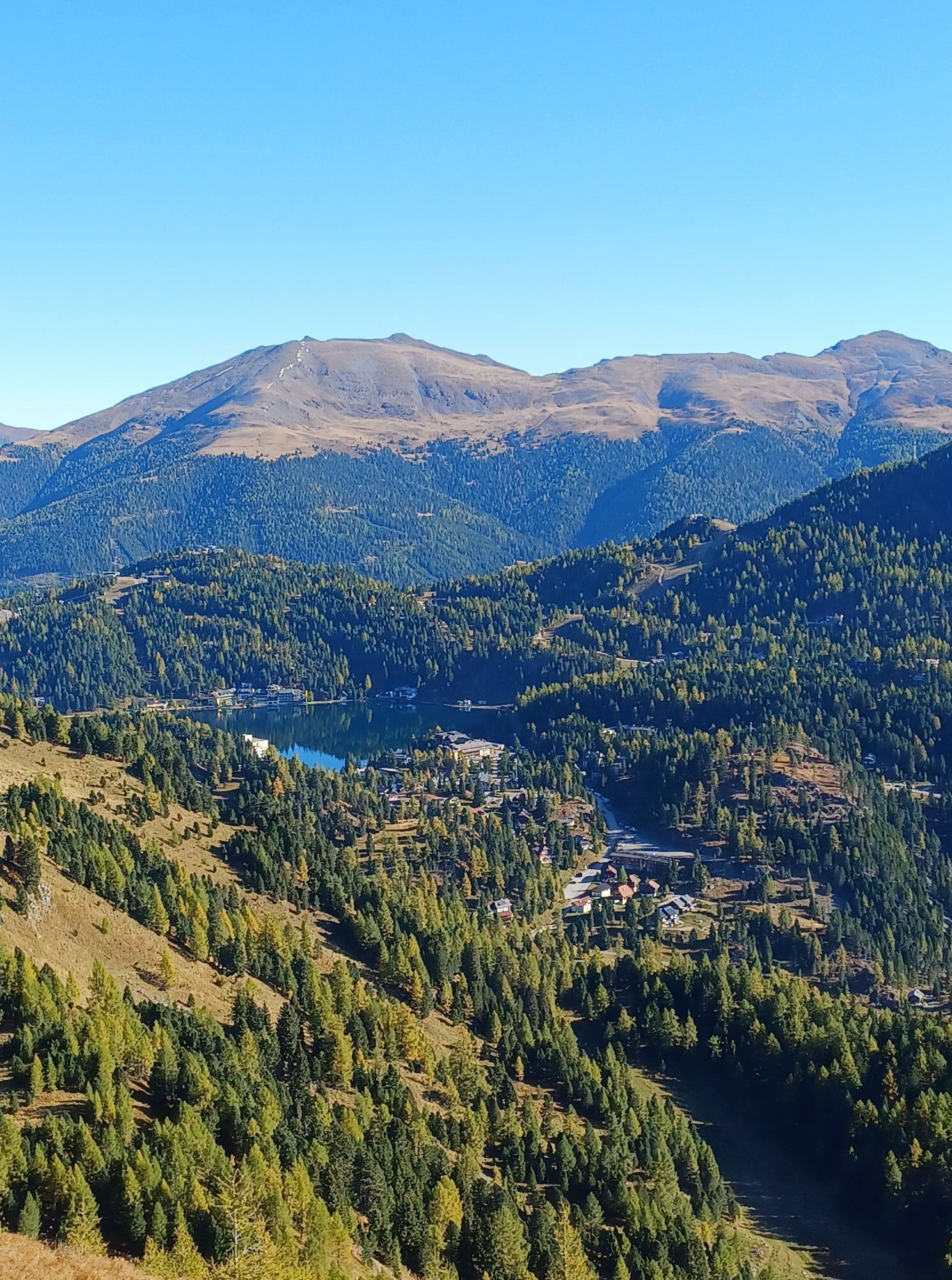
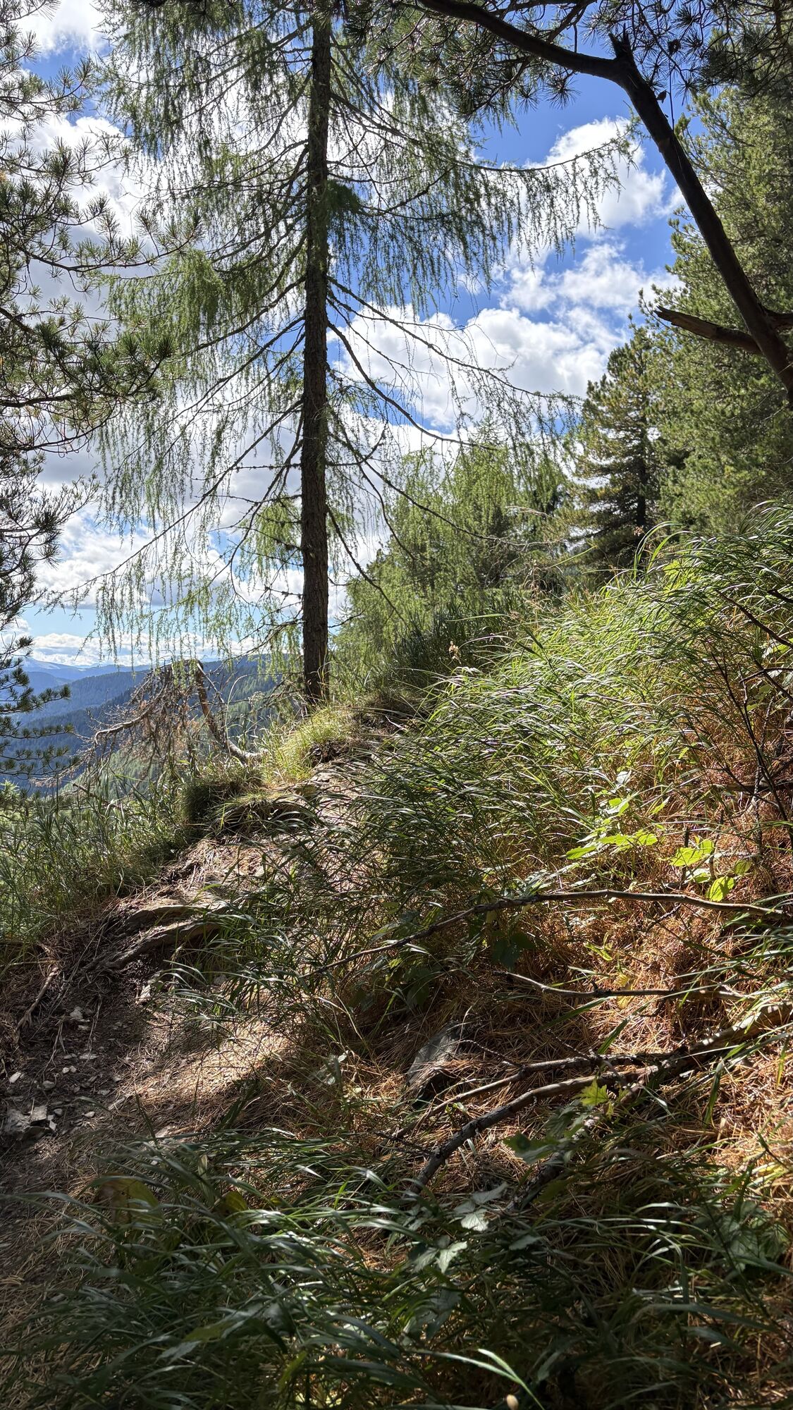
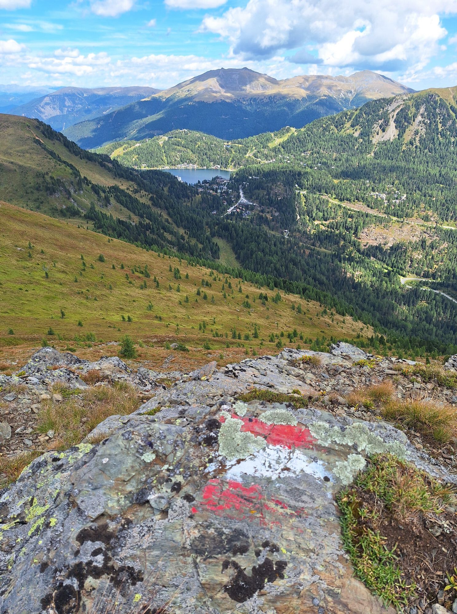
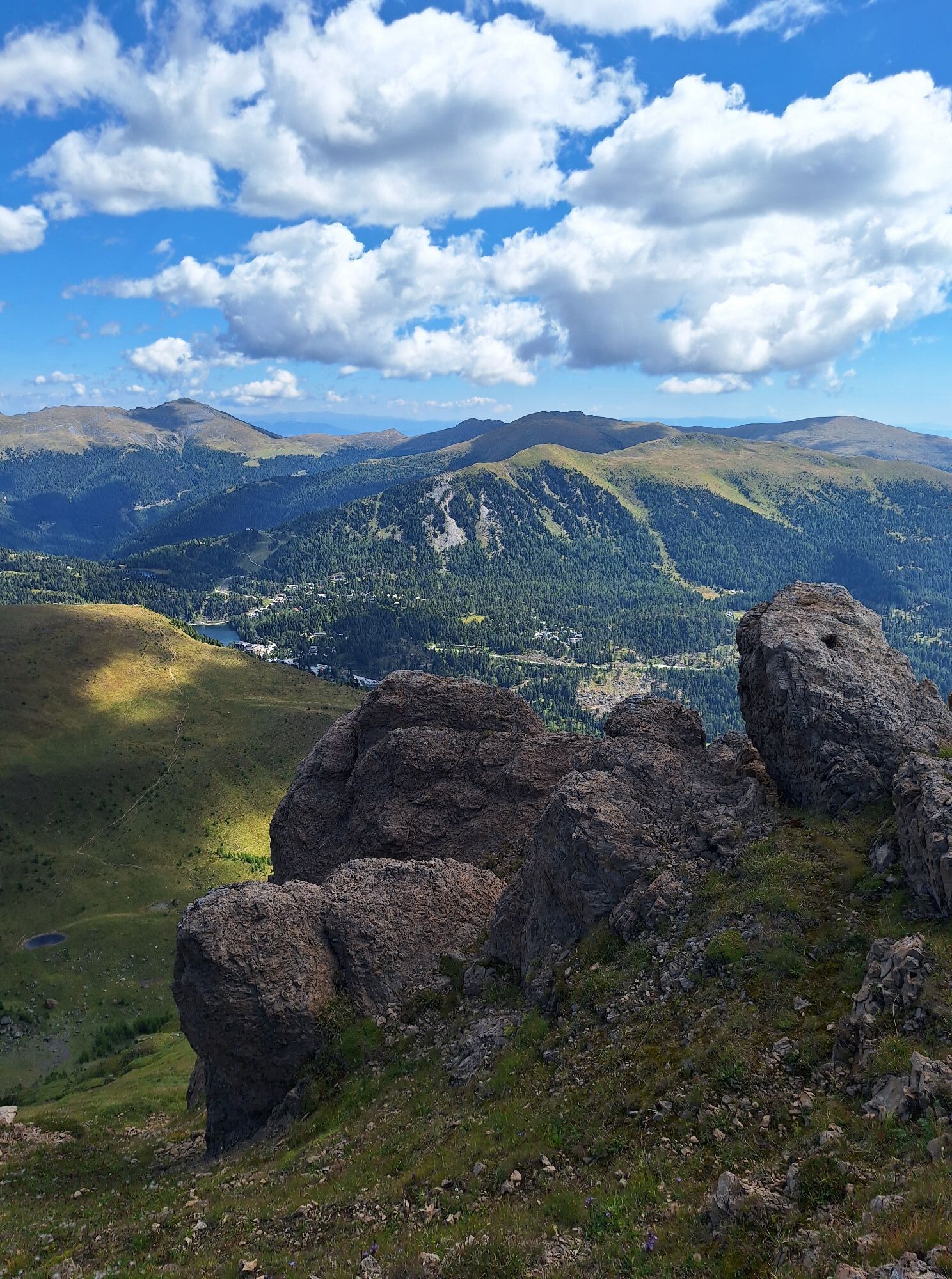
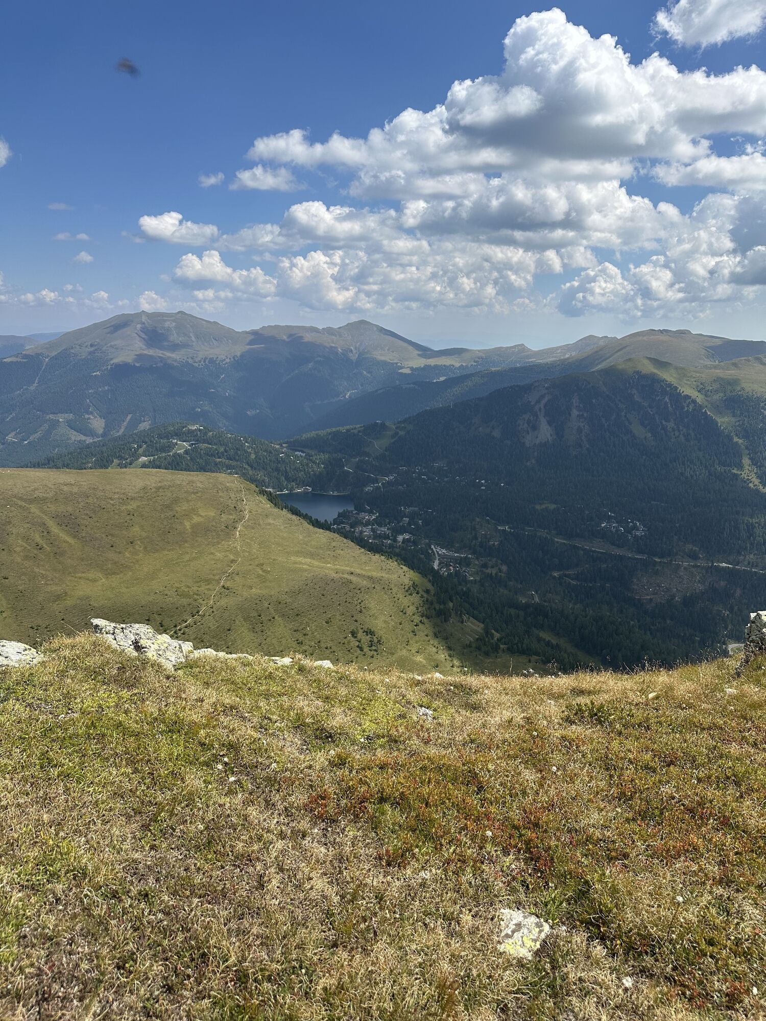
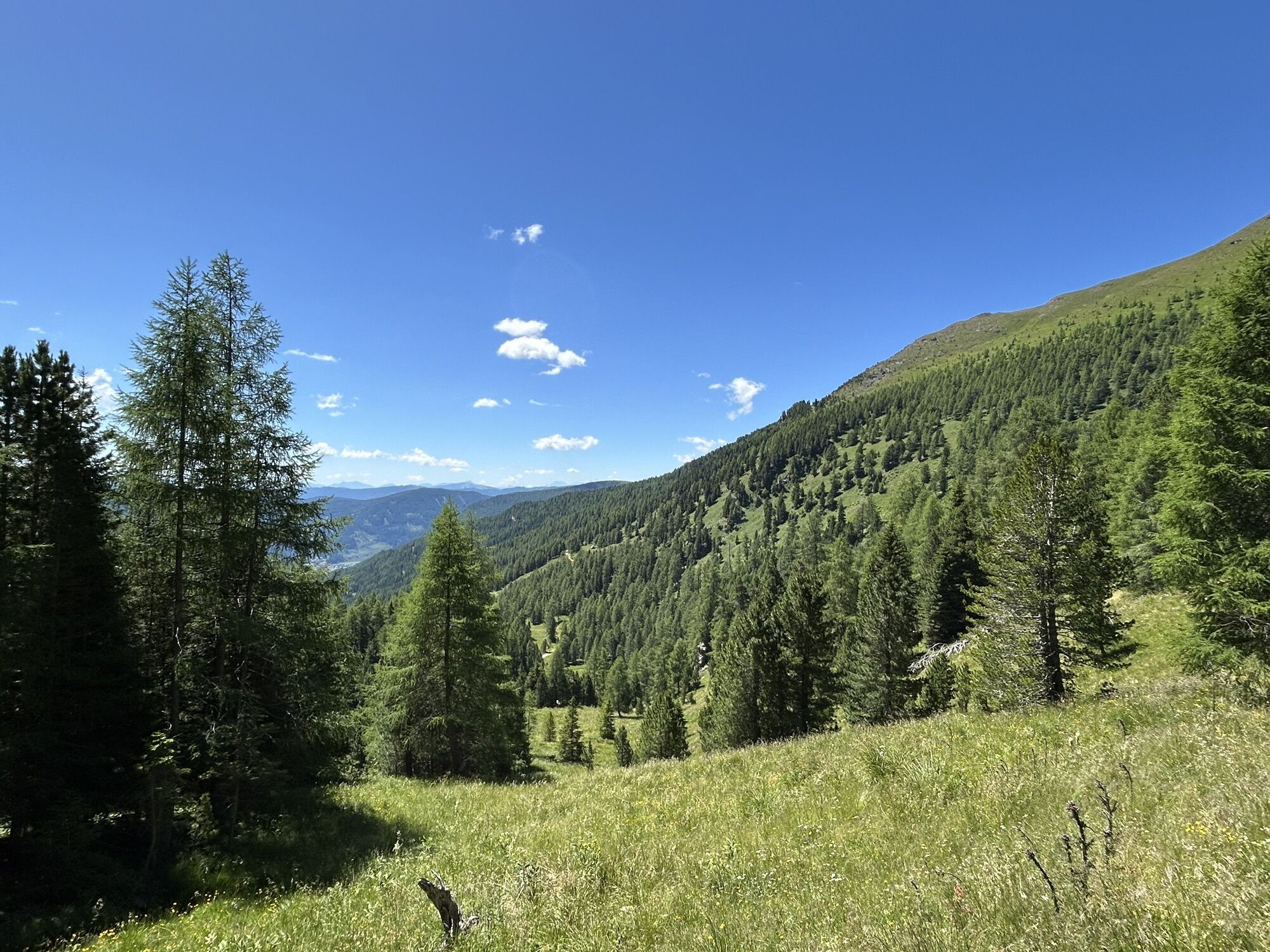
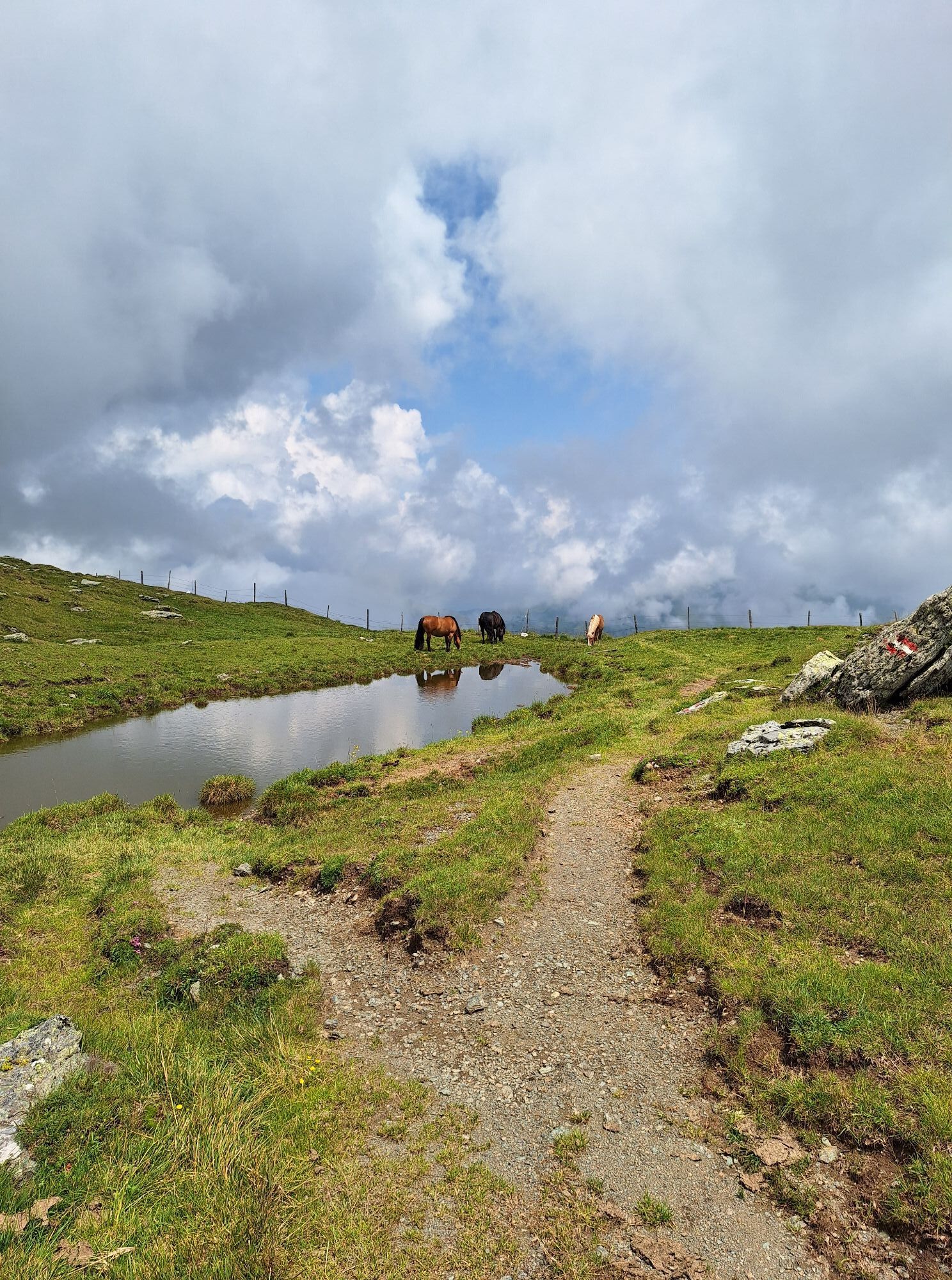
Here begins the wonderful alpine hike to the east towards Falkert: You always keep to the promising ridge (trail no. 3) and only pass the summit of the Steinnock on its south side - this is how you reach the Hundsfeldscharte between Falkertköpfl and Falkert. Here you leave the ridge and descend east to the lake Falkertsee, where your hotel and a cool drink are waiting for you on its northern shore.
Da
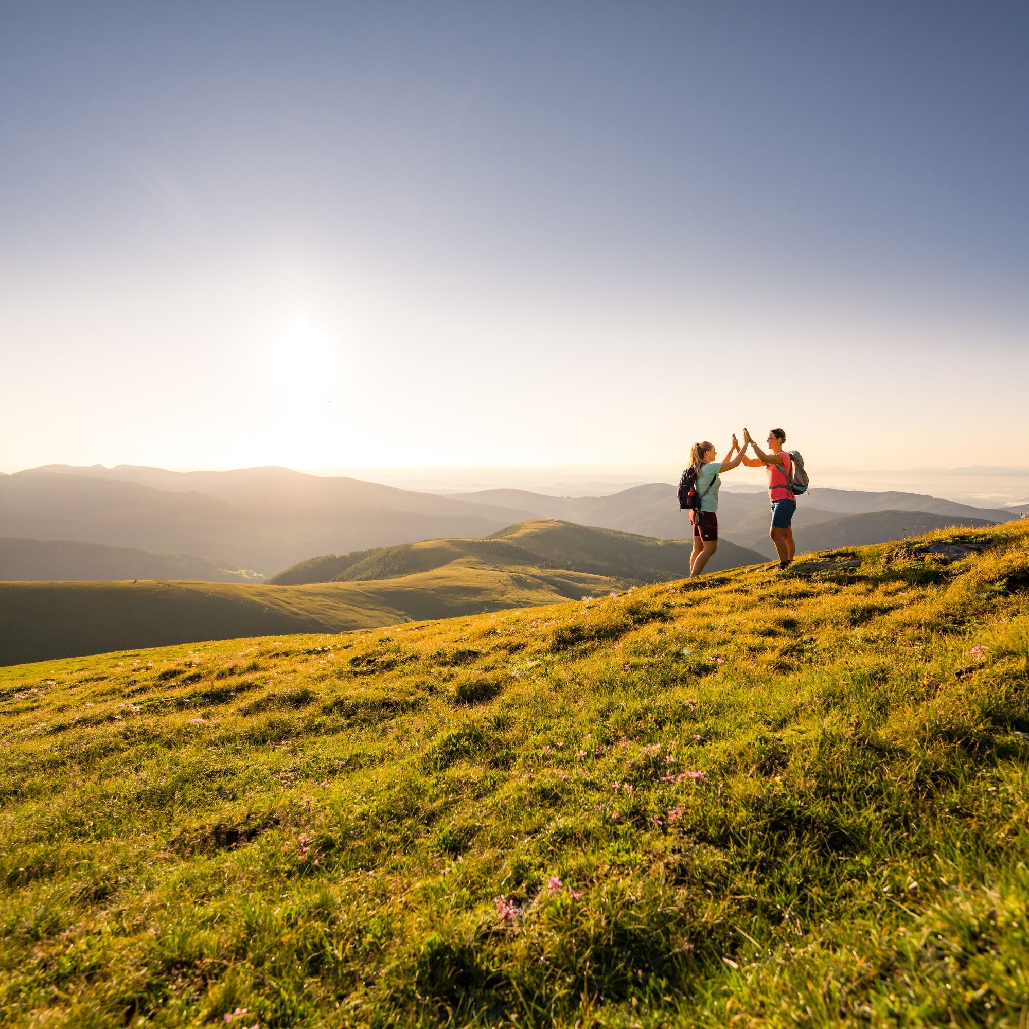
Easy to medium. Technically speaking, the Nockberge-Trail hike is not that difficult. There are no rope secured or exposed sections that require a complete head for heights. Even if you often hike at altitudes of up to 2350m and have conquered many peaks, there are no technical difficulties. A certain amount of surefootedness – being able to move safely and quickly in the terrain – is required.
-> Prior to each tour, the physical fitness and previous mountaineering experience of all participants – adults and children – must be assessed. Trekking & mountaineering often require surefootedness and a head for heights.
-> Each mountain tour should be planned and executed using official tour descriptions and hiking maps. Information from alpine clubs and local experts, such as mountain guides and hut owners, can be especially helpful in this regard.
-> Appropriate equipment and clothing are essential in the mountains. When mountaineering you need solid hiking shoes with non-slip soles. Since the weather in the mountains can be quite changeable, all-weather clothing is advised upon. The pace of the walk must be adjusted to the weakest member of the group. It is especially important at the beginning of the tour to go slowly and be sure to observe other participants, so that exhaustion may be detected in time.
-> Do not leave the marked hiking paths. To avoid falls, pay close attention to where you walk, even in light terrains. Be careful when walking on steep grassy slopes, especially when wet. It is especially dangerous to cross steep snowfields and glaciers.
-> It is essential to avoid the loss of stones along the route, as this could hurt other hikers. In areas prone to rockfall, pass individually as quickly as possible and without stopping.
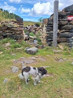
-> Hikers wishing to be accompanied by their dog is a sensitive topic of late. In some instances (e.g. cows with newborn calves), cattle may be particularly aggressive towards dogs, especially those on a leash. It is essential to stay calm in these instances, be careful and trust your instinct, also take note of possible warning signs. Untrained dogs are to kept on a leash at all times!
-> If the weather changes along the way, mist falls, the road becomes too difficult or is in bad shape, you should turn back immeadiately. There is no shame in it, it is always the best thing to do.
-> If an accident should occur, keep calm. In some cases you will be able to help yourself. If not, try to get help by calling someone, yelling, flashing a light or waving large clothes to attract attention. If possible, anyone who is injured should not be left alone.
-> The mountains are a place for everyone, and it is the duty of every climber and hiker to help with their preservation and cleanliness. Please take all waste back with you into the valley and leave the flora and fauna of the mountains untouched.
-> Important telephone numbers:
-> Alpine Emergency Call 140, International Emergency Call 112
From the north:
Munich-Salzburg highway, A10/Tauernautobahn to the St. Michael im Lungau exit. Take the B96 via Tamsweg to Predlitz and then turn right to Turracher Höhe
From the east:
Vienna, A2/Südautobahn - Graz - Klagenfurt - Feldkirchen - Ebene Reichenau - Turracher Höhe or Vienna, A1/Westautobahn to Salzburg and then as approach from the north
From the south:
Udine (IT) - Autostrada - Tarvisio - Villach - Feldkirchen - Ebene Reichenau - Turracher Höhe or Laibach (SI) - Jesenice - Karawankentunnel - Villach - Feldkirchen - Ebene Reichenau - Turracher Höhe
Nockmobil
As a feeder service to public transport, the Nockmobil is a demand-oriented shared cab service that is a green alternative to the car and takes us flexibly from stop to stop.
Let the Nockmobil take us to the starting point of our hike (stop number xx) and back again.
We recommend booking a ride with the Nockmobil about one hour in advance. We can book our shared call cab via the app.
Depending on the time of year and day of the week, there are different means of public transport to choose from. For up-to-date information, please visit the following websites:
http://w ww.oebb.at/de
Convenient and direct from the train station to your accommodation with the Carinthia train station shuttle:
Public parking spaces are available on the Turracher Höhe.
Further information about the Nockberge-Trail can be found in the official trail booking center at www.bookyourtrail.com.
Refreshment stops along the route
Further information about the hiking area in the region can be found at
Region Millstätter See - Bad Kleinkirchheim - Nockberge
+43 (0) 4246-37444
info@mbn-tourismus.at
www.seeundberg.at/wandern
The UNESCO Nockberge Biosphere Reserve
Sublime, mighty and unique - the Carinthian Nockberge UNESCO Biosphere Reserve is an Alpine jewel with unique natural treasures, a diverse cultural landscape and rare animal and plant species. People have lived here in harmony with nature for centuries. Gently rolling hills with peaks over 2,400 meters and picturesque alpine meadows - the Carinthian Nockberge Biosphere Reserve is a rare natural idyll in the middle of the Austrian Alps and covers an area of around 500 square kilometers.
It was designated a biosphere park by UNESCO in 2012. The park is based on the three pillars of sustainability: ecological balance, economic security and social justice. Here, people live in harmony with nature and respect and appreciate the rare flora and fauna.
Regional products, processed according to old traditions, bear witness to careful work according to traditional recipes. Trained biosphere park rangers promise unforgettable tours for families, and this knowledge is also passed on to schoolchildren in several educational programs. Whatever time of year you visit, the biosphere reserve always offers a treasure trove of experiences.
Further information about the UNESCO Carinthian Nock Mountains Biosphere Reserve can be found at: www.biosphaerenparknockberge.at
Further information is available at: www.biosphärenparknockberge.at
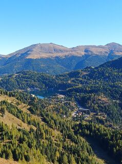
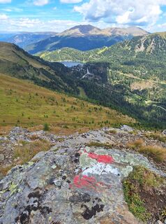
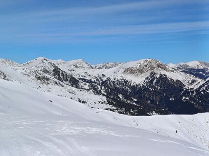
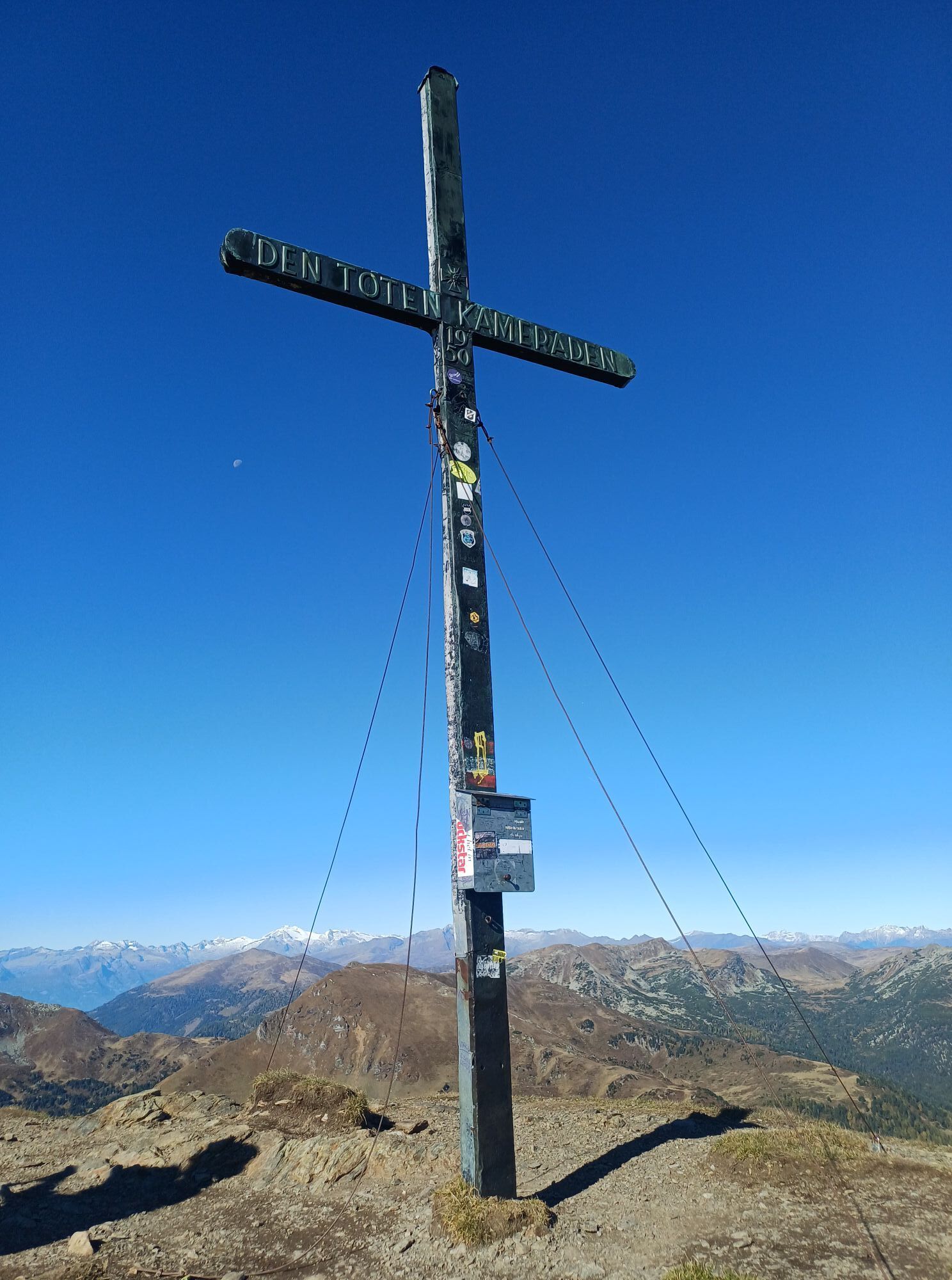
Panoramic view from Rinsennock Mountain
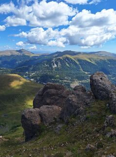
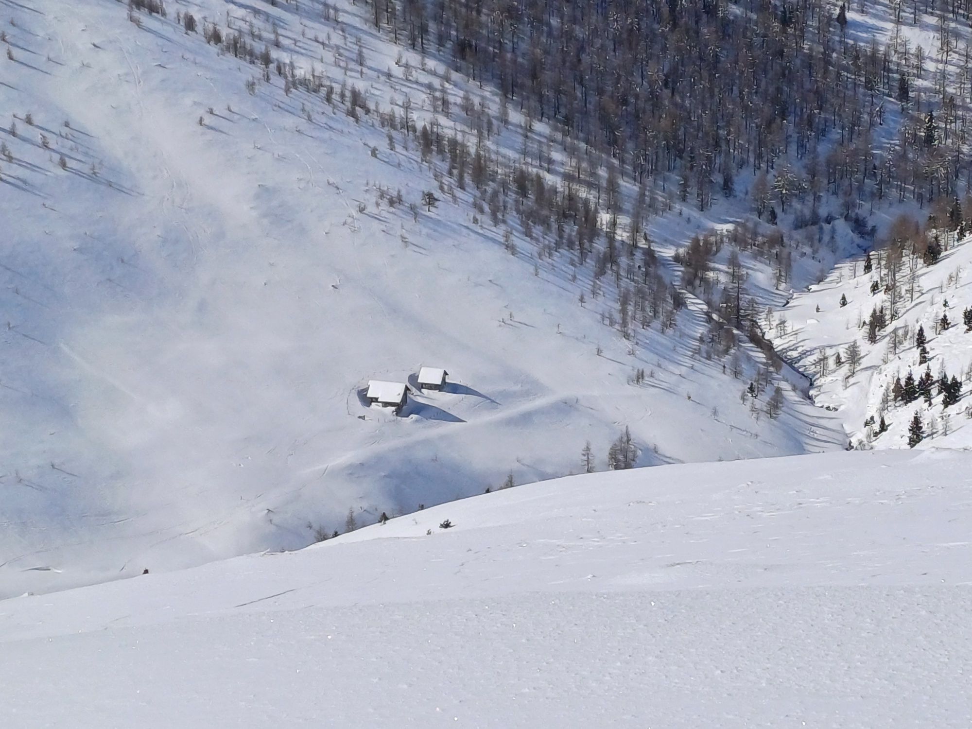
Prieß Hut on the Nockalm Road
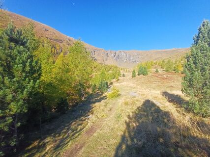
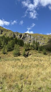
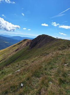
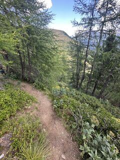
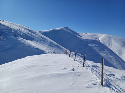
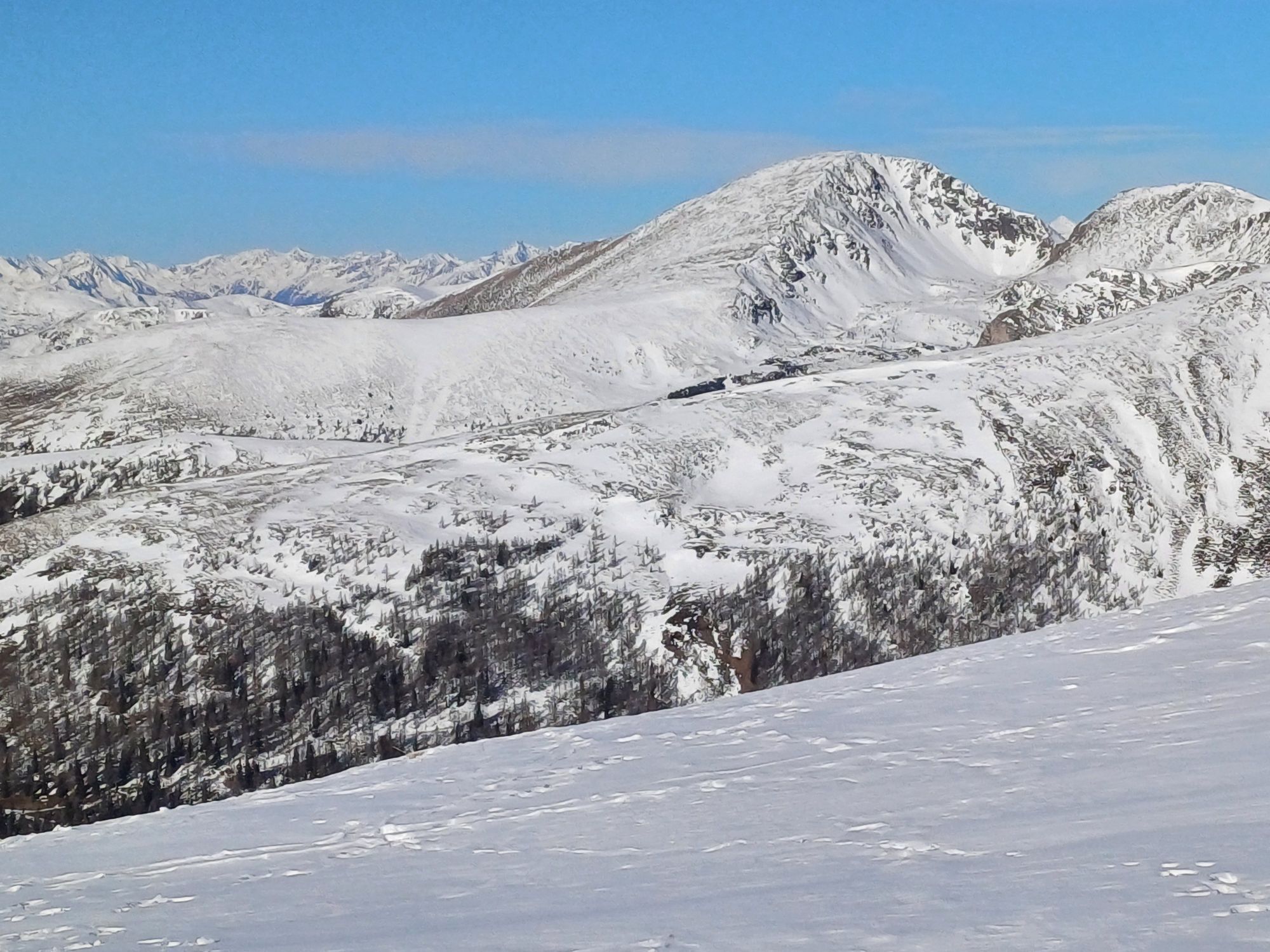
Climb to Steinhöhe und Steinnock
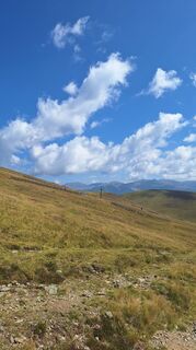
Falkert lake
Camere web ale turului
-
Turrachbahn Bergstation
-
Kornockbahn Bergstation
-
Schoberriegel
-
Bad Kleinkirchheim - Brunnach
-
Turracherhöhe/Hirschkogel
-
Turracherhöhe Weitentallift
-
Turracher Höhe - Panoramabahn
-
Bad Kleinkirchheim - Spitzeck
-
Bergbahnen Turracher Höhe
-
Bergbahnen Turracher Höhe
-
Bergbahnen Turracher Höhe
-
Bergbahnen Turracher Höhe
-
Bergbahnen Turracher Höhe
-
Bergbahnen Turracher Höhe
-
Sonnalm - Seehotel Jägerwirt
-
Falkert Nord
-
Heidi-Hotel
-
Heidi-Chalets
-
Almzeithütte
-
Turrachbahn Bergstation
-
Almzeithütte
-
Almzeithütte
-
Almzeithütte
-
Turrachbahn Bergstation
-
Turrachbahn Bergstation
-
Turrachbahn Bergstation
-
Turrachbahn Bergstation
-
Turrachbahn Bergstation
-
Bad Kleinkirchheim - Brunnach
-
B95 Turracher Höhe
Tururi populare în vecinătate
-
4,5
Rundweg über den Falkert
mediuExcursie 6,26 km -
4,9
Nockbergrundwanderweg
mediuExcursie 6,62 km -
4,0
Hochrindl - Almhütten-Wanderung (AGW Almgenussweg ) um den Kegel
luminăExcursie 9,31 km -
4,7
Brunnachalm Biosphärenrunde
luminăExcursie 8,39 km -
4,2
Rundwanderung Hochrindl - Speickkofel - Bretthöhe - Lattersteig
greleExcursie 20,9 km -
4,5
Hochrindl-weises Kreuz
mediuExcursie 12,4 km -
4,4
Rödresnock und retour
mediuExcursie 5,80 km -
4,6
Falkertsee - Sonntagstal - Falkert
mediuExcursie 4,84 km -
4,4
Falkertsee - Murmelsteig mit Abstieg über Falkertscharte
mediuVia ferrata 4,04 km -
3,8
Ski tour educational trail Grünleitennock
luminăSkitour 10,6 km
Drumeții și urmărire


Nu ratați ofertele și inspirația pentru următoarea dvs. vacanță
Adresa dvs. de e-mail a fost adăugat la lista de corespondență.