


Fatschél - Mattjisch Horn - Langwies


Fotografii ale utilizatorilor noștri
-
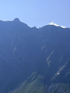
 © Jan MaurerCreat pe 08.02.2023
 -
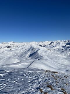
 © alinraduCreat pe 19.10.2025
 -
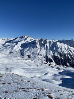
 © alinraduCreat pe 19.10.2025
 -
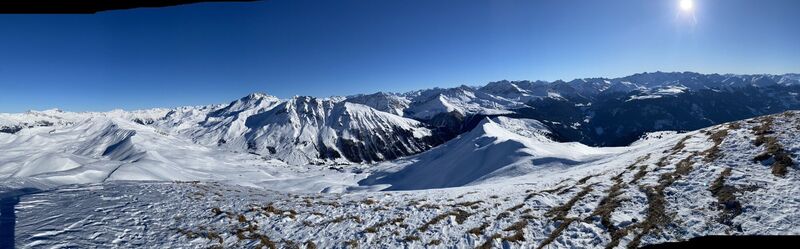
 © Lars FluetschCreat pe 23.08.2025
 -
 © Lars FluetschCreat pe 23.08.2025
 -
 © Lars FluetschCreat pe 21.06.2025
 -
 © Jan MaurerCreat pe 08.02.2023
 -
 © Jan MaurerCreat pe 08.02.2023
 -
 © Jan MaurerCreat pe 08.02.2023
 -
 © Jan MaurerCreat pe 08.02.2023
 -
 © Jan MaurerCreat pe 08.02.2023
 -
 © Jan MaurerCreat pe 08.02.2023
 -
 © Jan MaurerCreat pe 08.02.2023
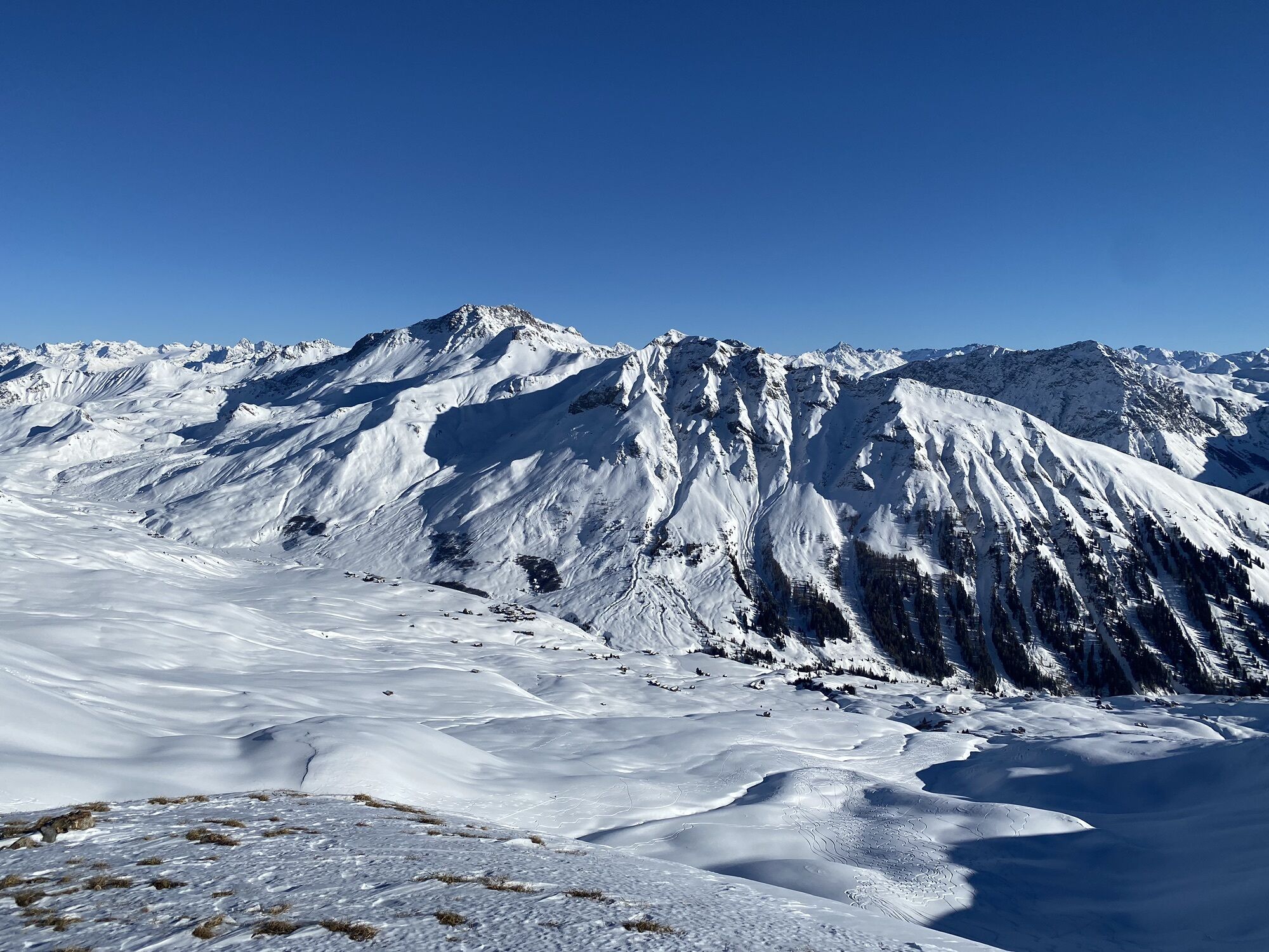
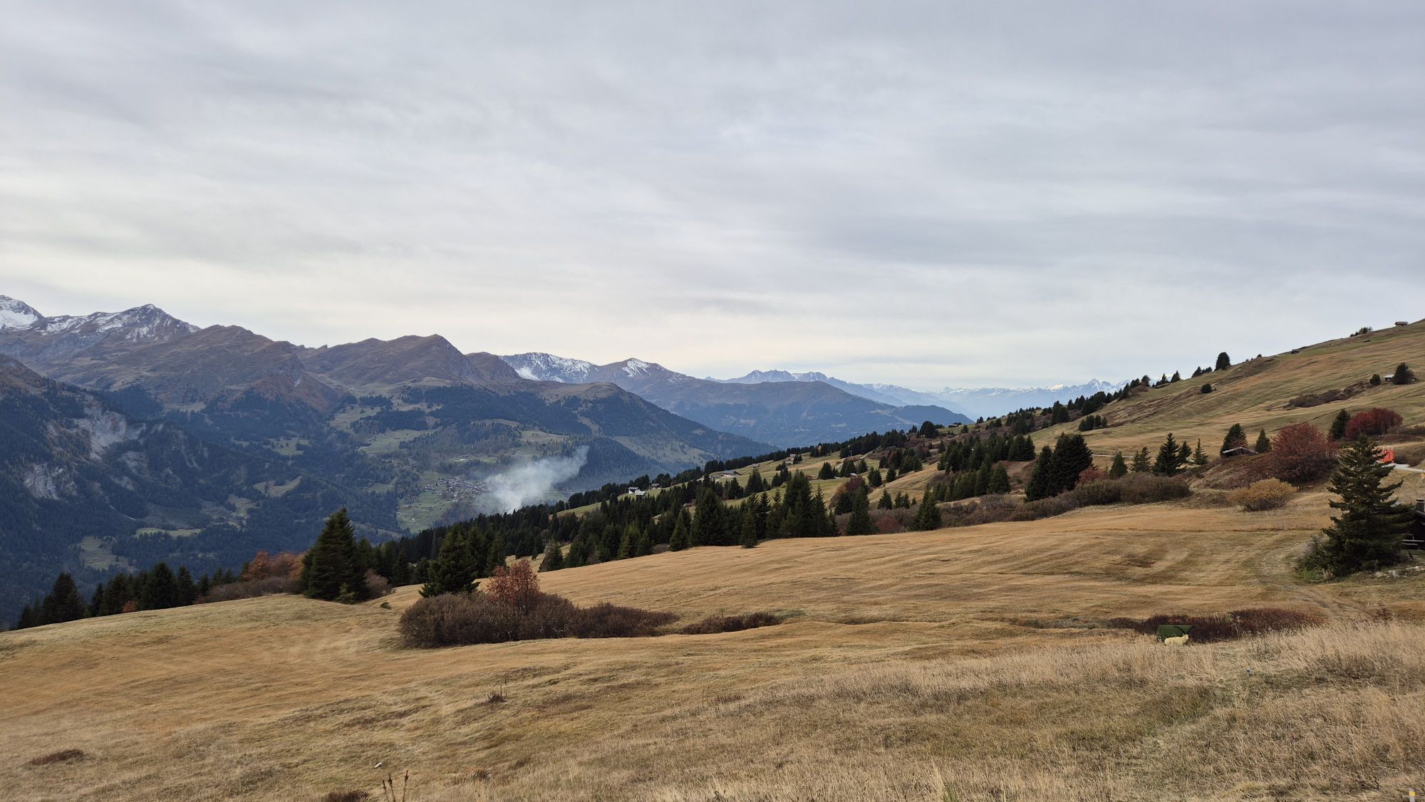
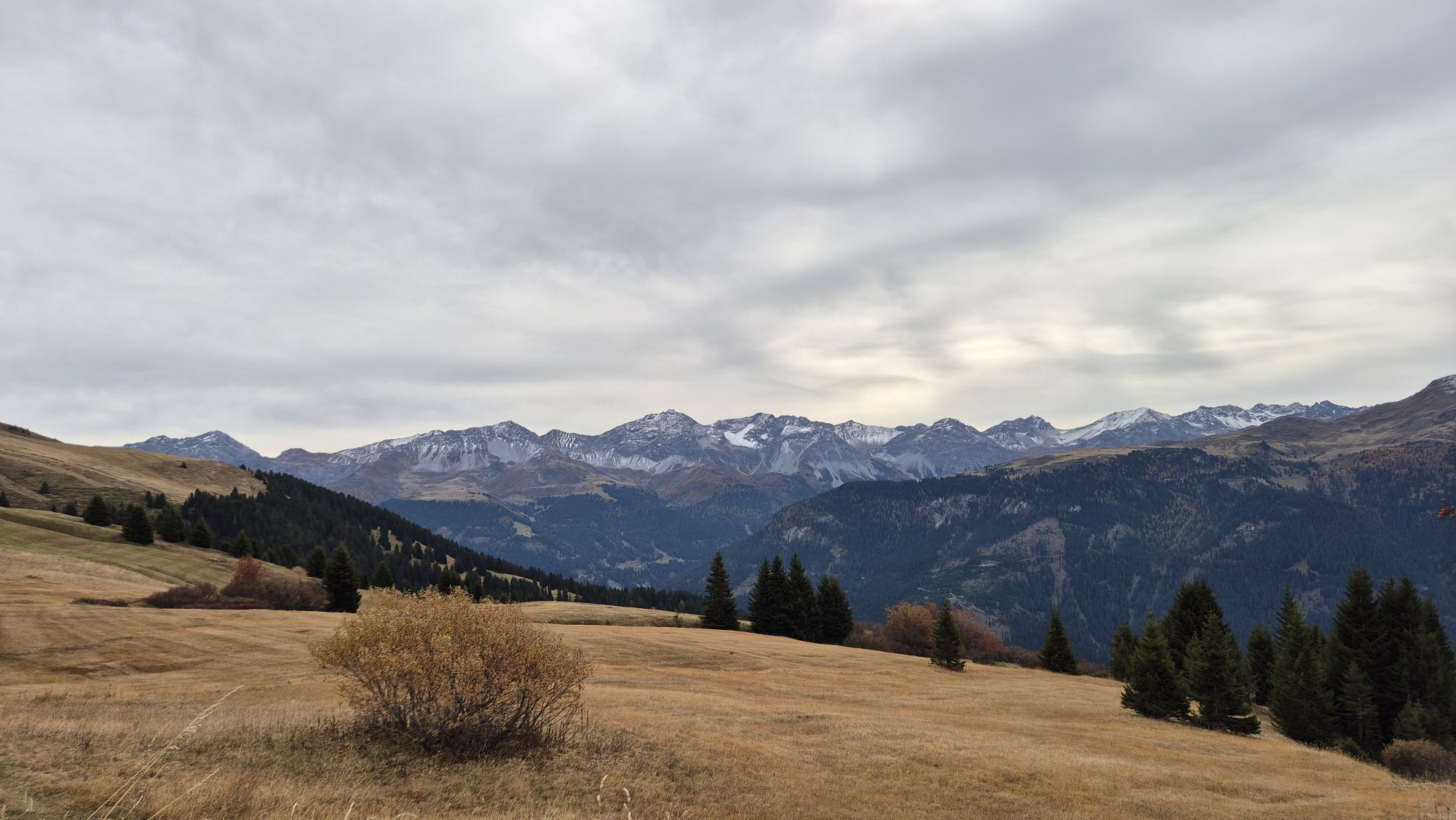

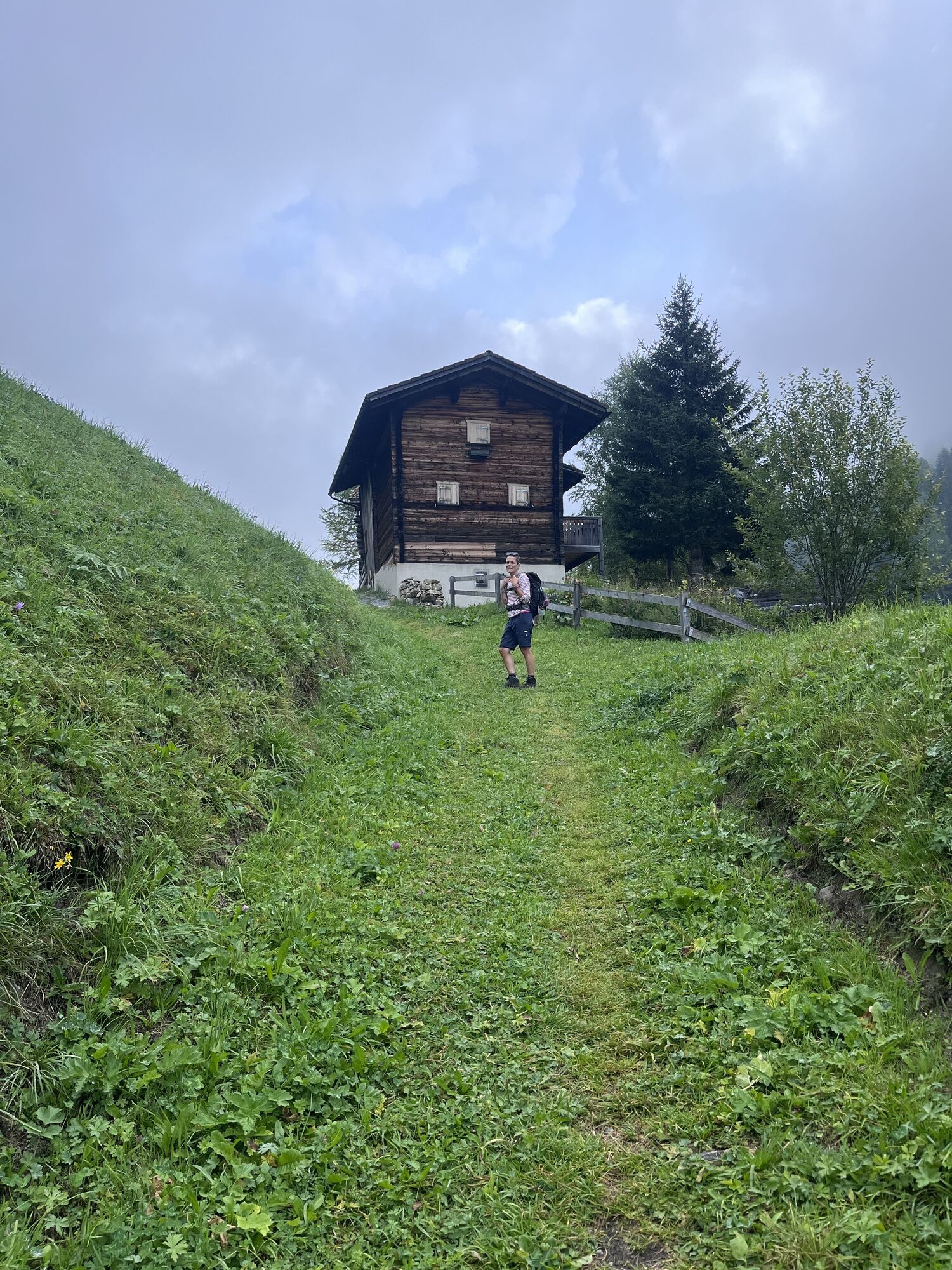

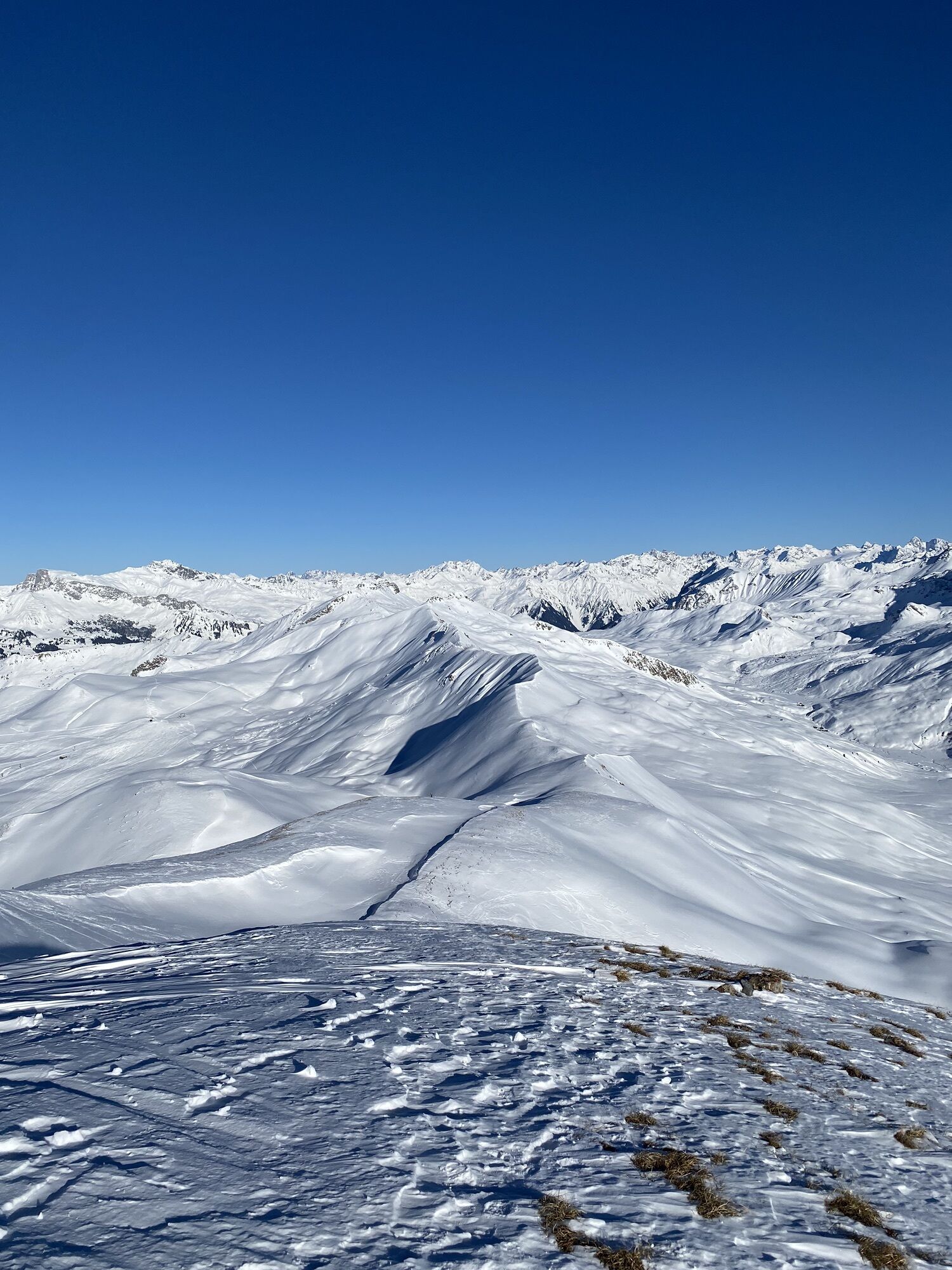
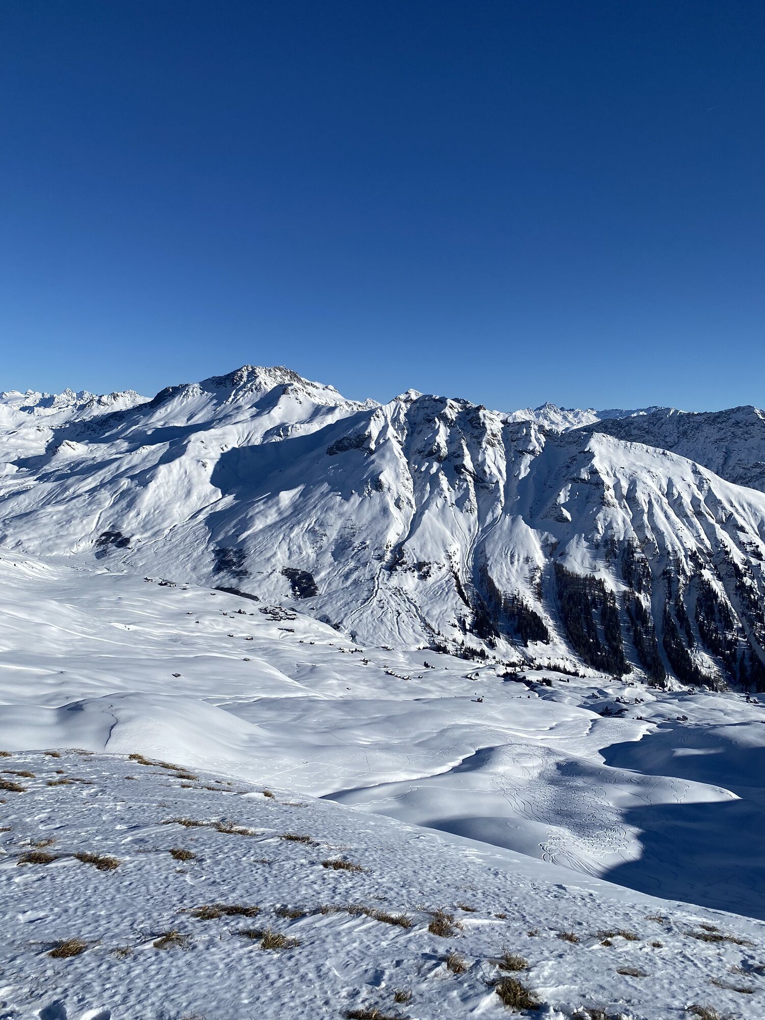
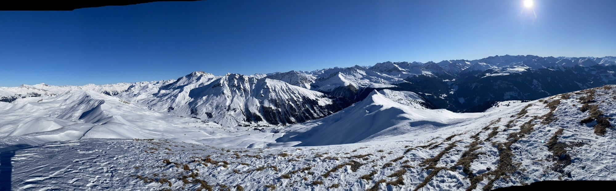


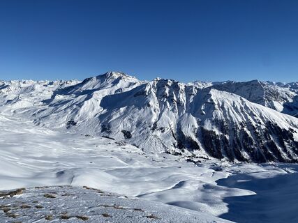
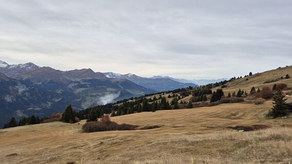
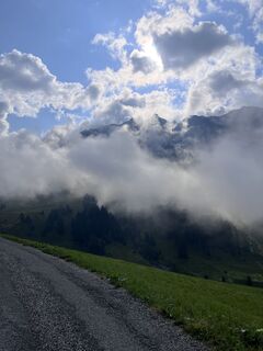
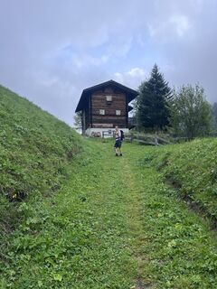
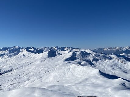
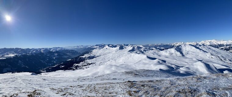
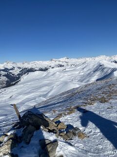
The route leads via the Triemel mountain inn to the Hochwang ski house and then over a scenic stretch of moorland. The ascent to the Mattjisch Horn leads along a beautiful mountain trail without any unforgettable...
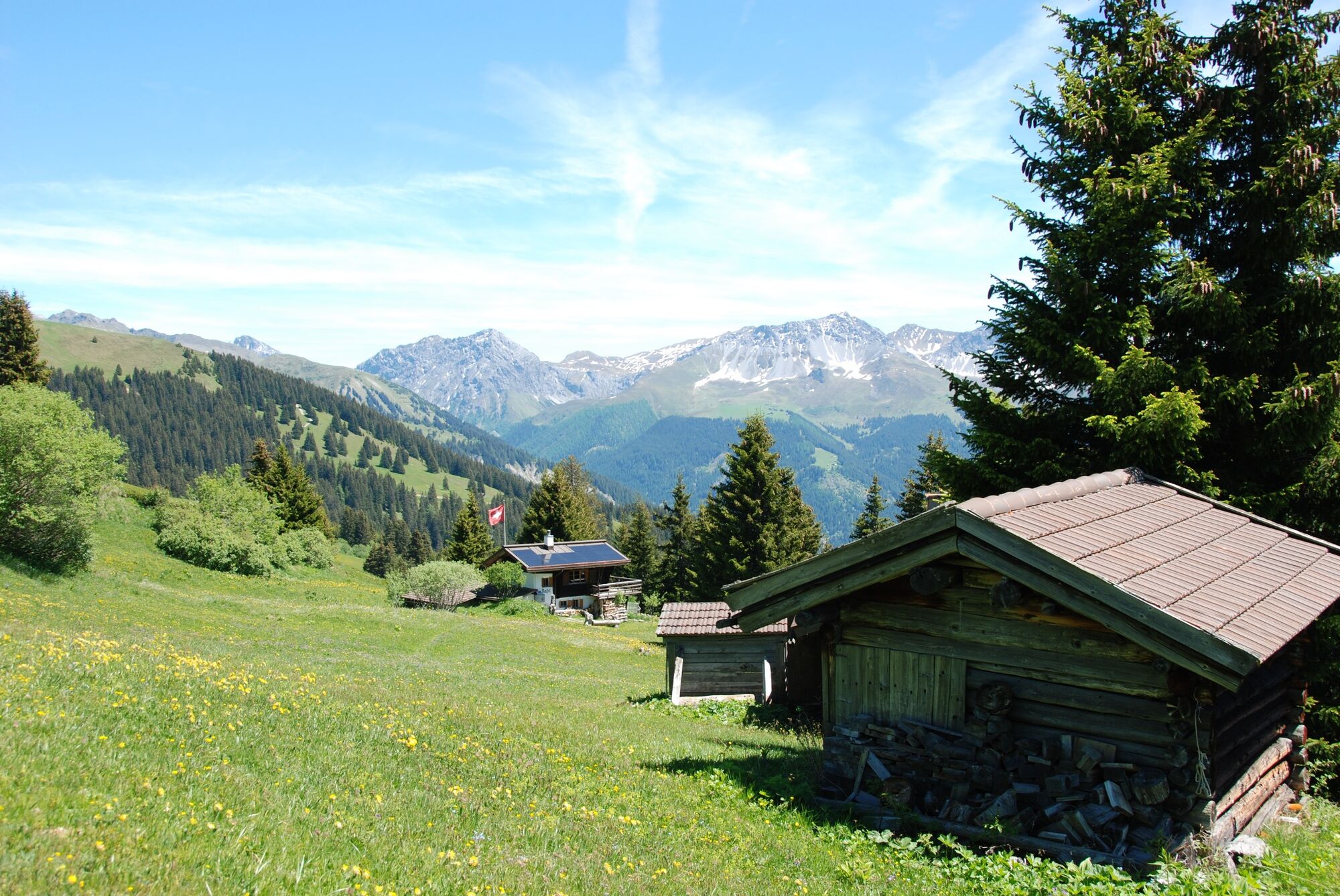
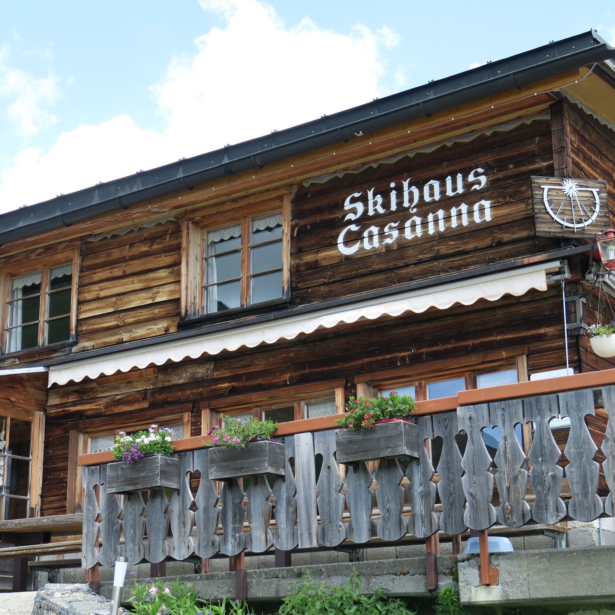
The route leads via the Triemel mountain inn to the Hochwang ski house and then over a scenic stretch of moorland. The ascent to the Mattjisch Horn leads along a beautiful mountain trail without any unforgettable spots. After enjoying the panoramic view of the summit, the tour leads across a meadow landscape to the Casanna mountain inn. After refreshments, a beautiful final hike follows along the river through the old Fondeierweg to Langwies.

The route leads via the Triemel mountain inn to the Hochwang ski house and then over a scenic stretch of moorland. The ascent to the Mattjisch Horn leads along a beautiful mountain trail without any unforgettable spots. After enjoying the panoramic view of the summit, the tour leads across a meadow landscape to the Casanna mountain inn. After refreshments, a beautiful final hike follows along the river through the old Fondeierweg to Langwies.
Da
Good mountain hiking boots and complete hiking equipment
As this is a stage tour, it is not advisable to travel by car.
with the sports bus to Fatschel.
Enjoy fine cuisine at the Casanna mountain inn.
Camere web ale turului
Tururi populare în vecinătate
-
Parsenn
mediuSchi 39,7 km -
5,0
Arosa-Hörnli-Urdenfürrgli-Alp Scharmoin-Lenzerheide
mediuExcursie 15,3 km -
72 Praettigau High Trail Stage 1: Klosters - St. Antönien
mediuTraseu de drumeție pe distanțe lungi 12,7 km -
3,0
207 Mittelberg Parpan
mediuDrumeții de iarnă 7,07 km -
4,2
Maiensäss circular hike Pany - Calondis
mediuExcursie 8,20 km -
4,0
570 Danusa circular route
luminăSnowshoe 5,86 km -
Schanfigg high route
greleTraseu de drumeție pe distanțe lungi 79,9 km -
Mid-station Arosa Weisshorn - Schwellisee - Bergkirchli - Innerarosa
Excursie 8,82 km -
5,0
279 Pendlatrail
mediuMountainbike 10,4 km -
Maran-Prätschalp-Scheidegg-Fuchs-Hauptichopf-Maran circular route (Route 1 - long)
mediuSnowshoe 7,59 km
Drumeții și urmărire


Nu ratați ofertele și inspirația pentru următoarea dvs. vacanță
Adresa dvs. de e-mail a fost adăugat la lista de corespondență.