


20 Miles Chur - Lenzerheide


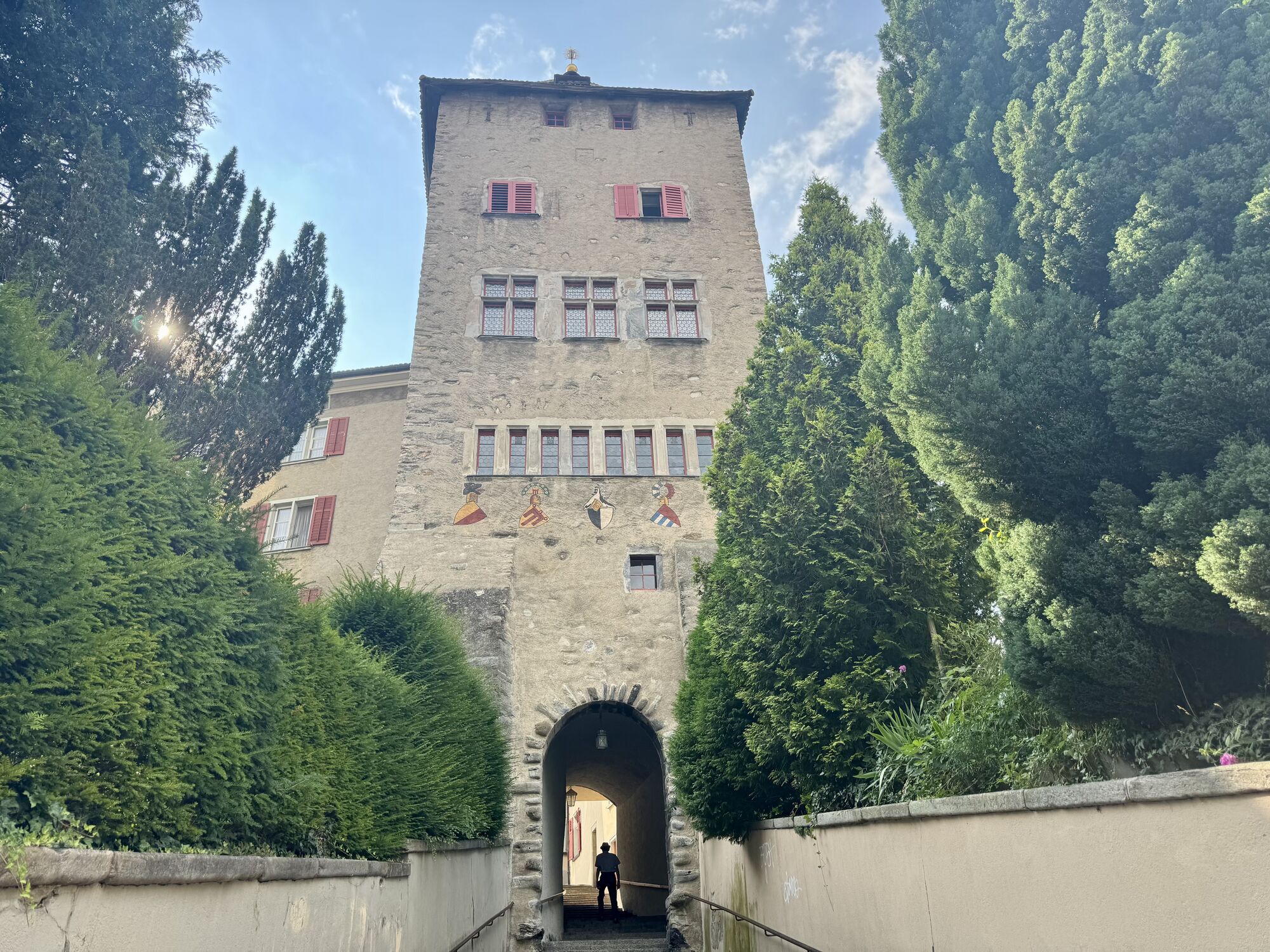
The start is in Chur on the Quaderwiese, from there it goes through the old town onto the Chur-Arosa road to Sand. Via a gravel road, it goes to Passugg. In Passugg, the route goes around the building...
The start is in Chur on the Quaderwiese, from there it goes through the old town onto the Chur-Arosa road to Sand. Via a gravel road, it goes to Passugg. In Passugg, the route goes around the building of the beverage manufacturer Passugger and leaves the road again onto an unpaved path. From Passugg, the route follows the Polenweg to Churwalden. In Churwalden, it first goes through the village and then in the direction of Büel, Foppa. From Foppa, it goes over Mittelberg down to Parpan. From there, the route leads over the Parpanerhöhe to Valbella. From Canols, it goes once around the Heidsee to Lenzerheide.

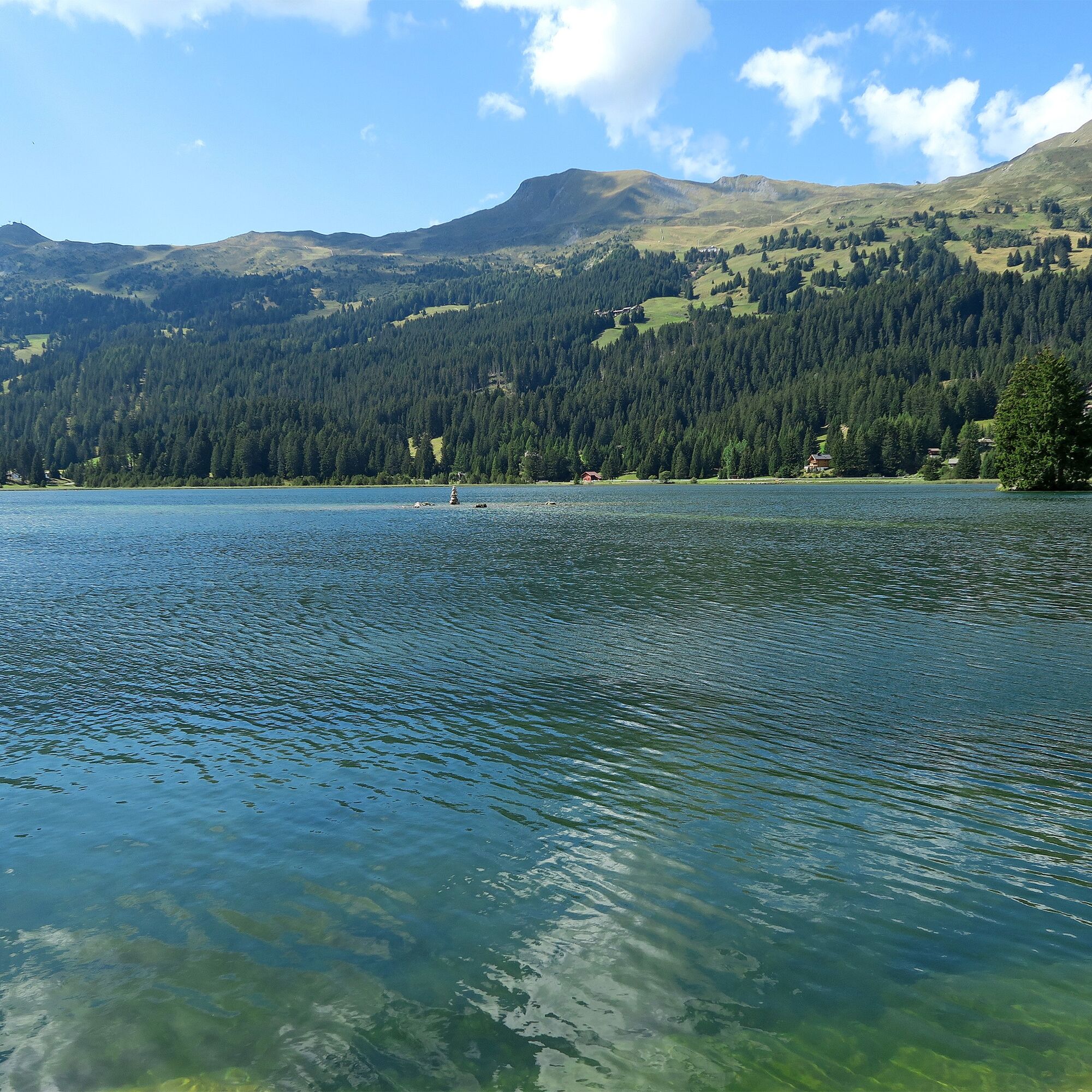
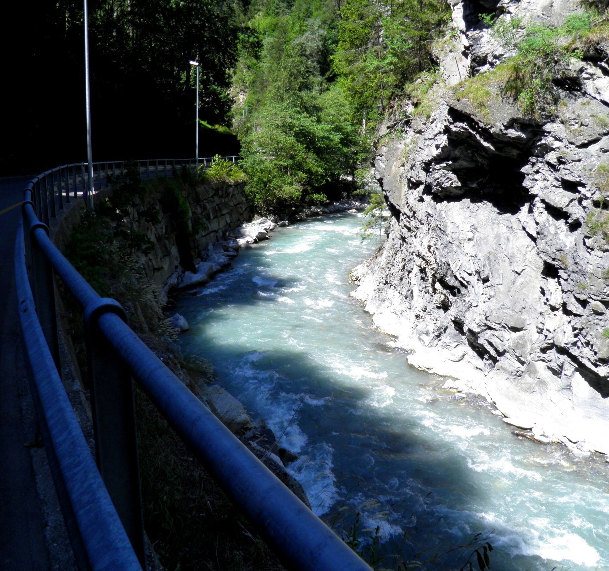
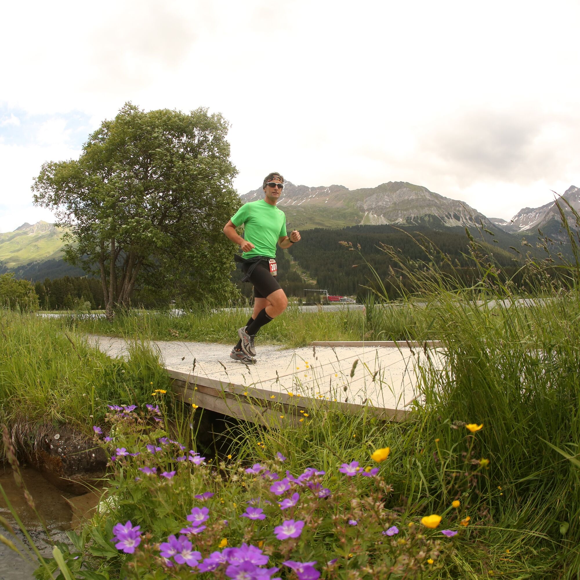
The start is in Chur on the Quaderwiese, from there the route leads through the old town and then turns onto the Chur-Arosa road. At the Arosa junction, go straight towards Sand. Upon reaching Sand, the route leaves the paved road onto a gravel road towards Passugg. In Passugg, the route goes around the building of the beverage manufacturer Passugger and leaves the road again onto an unpaved path. After an ascent, you turn onto a wide gravel path. On the Polenweg it goes to Churwalden. You run through the village of Churwalden (1240 m above sea level) past the post office and Coop, and after the Hotel Hemmi, you turn left. Then begins a longer uphill section to Büel, Foppa. In Foppa (1753 m above sea level) you turn onto a paved road leading towards Parpan. After about 1 km downhill, you leave the road to the right onto a narrow path towards Mittelberg. In Mittelberg, you turn left onto a paved road that leads to Parpan. At the first junction in Parpan (1493 m above sea level), turn right towards the main road; shortly before the main road, turn left and then run parallel to the road uphill to the Hotel Alpina. After the bus stop, turn left. After about 15 m, turn right and after another 10 m turn right again. You then enter a narrow path that leads over roots up to Parpanerhöhe. There you pass a very small lake and then run parallel to the road downhill to Canols; on the right, you can see the large Heidsee. There you cross the main road and run past the kiosk Canols. After a lap to the right around the beautiful Heidsee, you cross the main road at the valley station of the Rothorn cable car. After the underpass, turn sharply right and then run up a slight incline on the sidewalk; after about 100 m, cross the side road at the zebra crossing and go straight into the forest. After about 1.5 km onto a gravel road in the forest, cross a side road and cross the main road at the underpass. Then turn into the finish line at the Lenzerheide schoolhouse.
Da
Sturdy and well-broken-in footwear, weather-appropriate clothing, sufficient provisions.
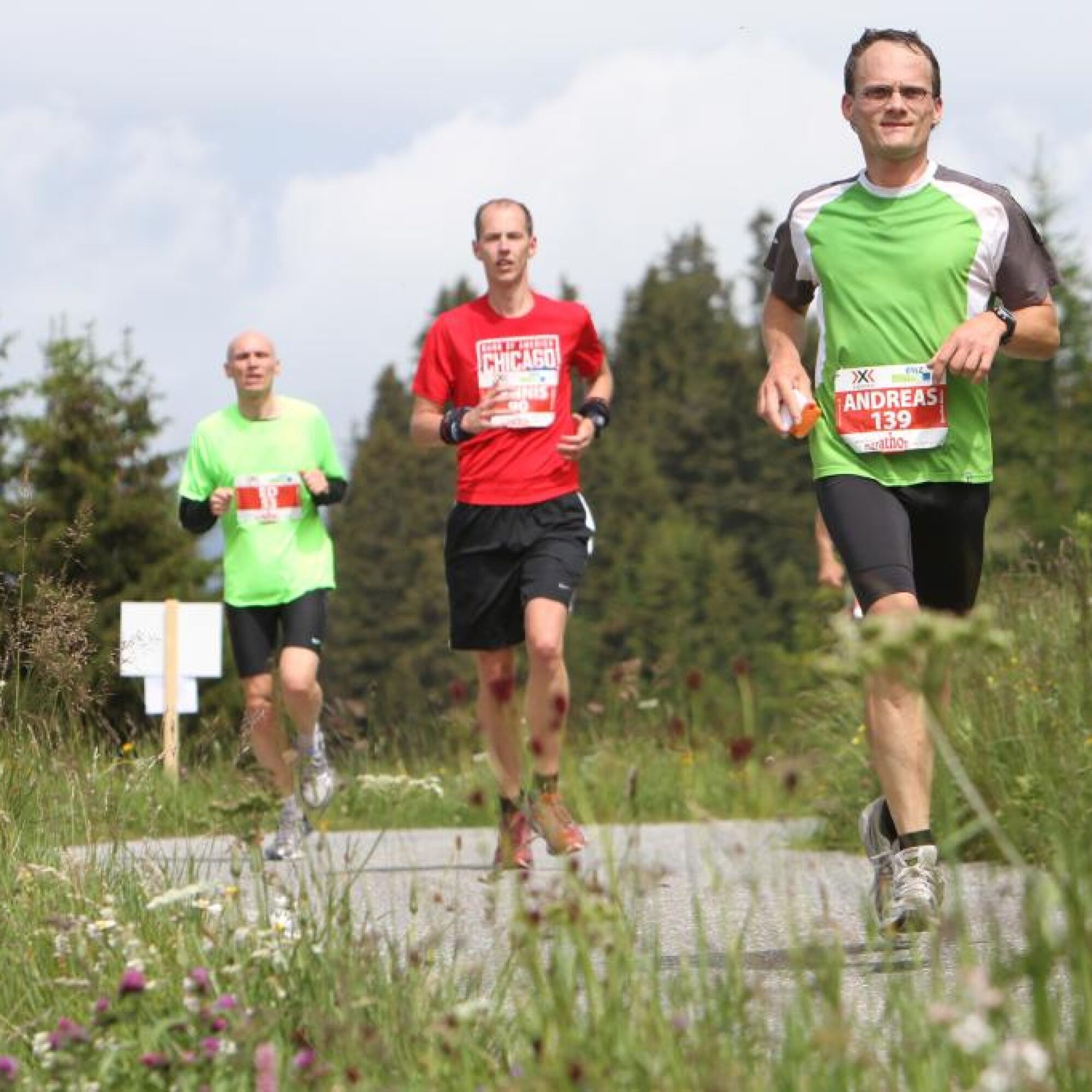
The route is considered good training and can be tackled independently with appropriate preparation.
Up to Chur.
By train to Chur
Parking spaces are available at the Quader.
At the end, a jump into the Heidsee offers the perfect refreshment and an optimal start to the recovery phase.
Camere web ale turului
-
Waldstafel
-
Arosa - Hörnli
-
Lenzerheide - Urdenfürggli
-
Lenzerheide - Parpaner Rothorn
-
Lenzerheide - Alp Stätz
-
Lenzerheide - Piz Scalottas
-
Lenzerheide - Talstation Rothorn
-
Lenzerheide Biathlon Arena
-
Alpenstadt Chur
-
Tschiertschen - Alp Farur
-
Hühnerköpfe - Bergrestaurant
-
Hühnerköpfe - Bergrestaurant
-
Tschiertschen Talstation
-
Brambrüesch / Sesselbahn Hühnerköpfe
-
Tschiertschen Talbereich
-
Lenzerheide Dorf
-
Lenzerheide - Heimberg
-
Lenzerheide - Heidbüel
-
Hühnerköpfe - Bergrestaurant
-
Wassersportzentrum Heidsee
-
Wassersportzentrum Heidsee
Tururi populare în vecinătate
-
Alp Sanaspans - Rothorn
greleExcursie 13,6 km -
5,0
Arosa-Hörnli-Urdenfürrgli-Alp Scharmoin-Lenzerheide
mediuExcursie 15,3 km -
5,0
202 High-level path Tgantieni
greleDrumeții de iarnă 12,3 km -
5,0
Piz Scalottas - Brambrüesch
mediuExcursie 16,6 km -
Rundtour Lenzerheide
mediuExcursie 14,9 km -
3,0
207 Mittelberg Parpan
mediuDrumeții de iarnă 7,07 km -
201 Heidsee route
luminăDrumeții de iarnă 5,49 km -
521 Era Vedra
mediuSnowshoe 2,82 km -
Churwalden - Windegga - Fuulberg - Stätzerhorn
mediuTrailrunning 13,2 km -
Alp Sanaspans - Lenzerhorn
greleExcursie 6,28 km

Drumeții și urmărire


Nu ratați ofertele și inspirația pentru următoarea dvs. vacanță
Adresa dvs. de e-mail a fost adăugat la lista de corespondență.