


Madrisa circuit


Fotografii ale utilizatorilor noștri
-

 © Peter EngelCreat pe 15.02.2025
 -
 © Ute ThummCreat pe 24.01.2025
 -
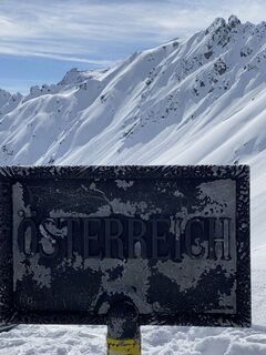
 © Yvonne PalCreat pe 28.03.2021
 -
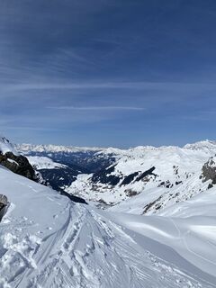 © Yvonne PalCreat pe 28.03.2021
 -
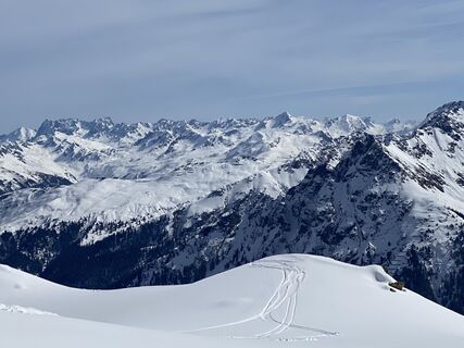 © Yvonne PalCreat pe 28.03.2021
 -
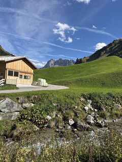
 © cineCreat pe 21.09.2025
 -
 © AlexCreat pe 11.09.2025
 -

 © Aga MCreat pe 09.02.2025
 -
 © Aga MCreat pe 09.02.2025
 -
 © Aga MCreat pe 09.02.2025
 -
 © Xenia LangeCreat pe 10.08.2024
 -
 © Xenia LangeCreat pe 10.08.2024
 -
 © Xenia LangeCreat pe 10.08.2024
 -
 © Xenia LangeCreat pe 10.08.2024
 -
 © Jens BrunnerCreat pe 25.06.2024
 -
 © Jens BrunnerCreat pe 25.06.2024
 -
 © Jens BrunnerCreat pe 25.06.2024
 -
 © Jens BrunnerCreat pe 25.06.2024

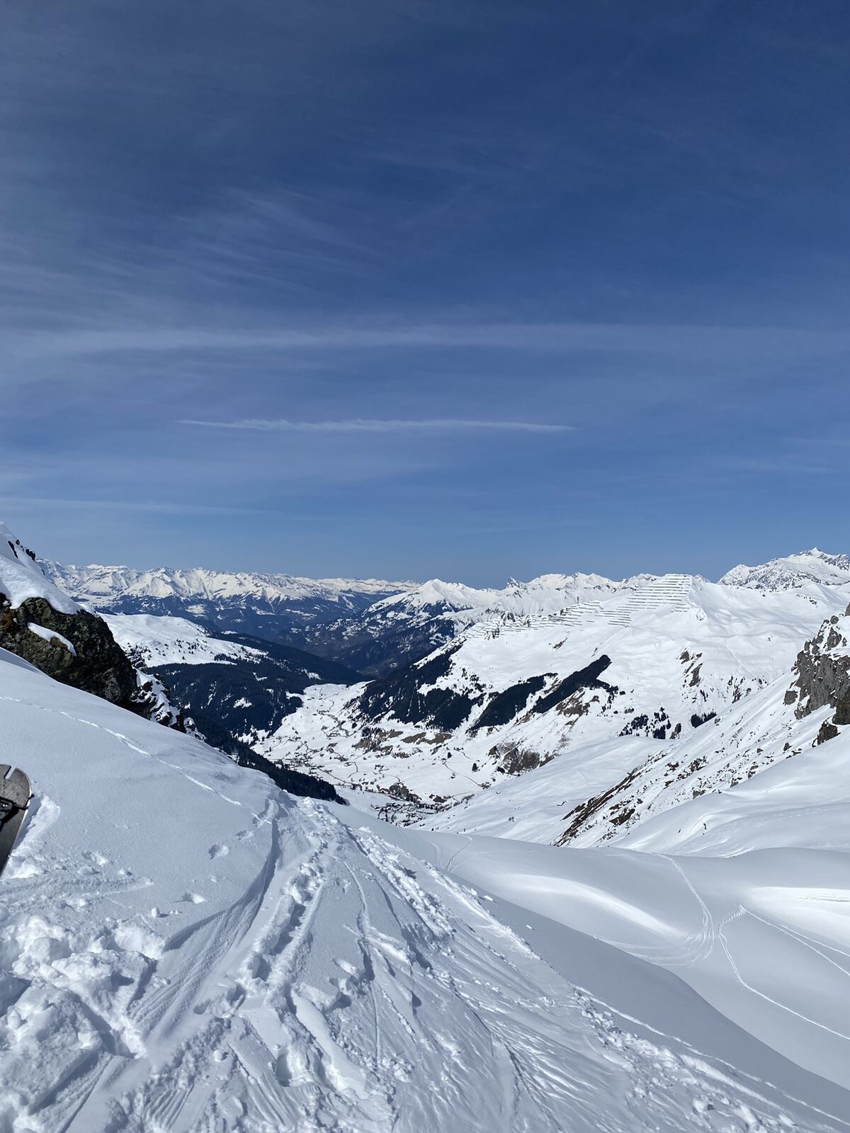


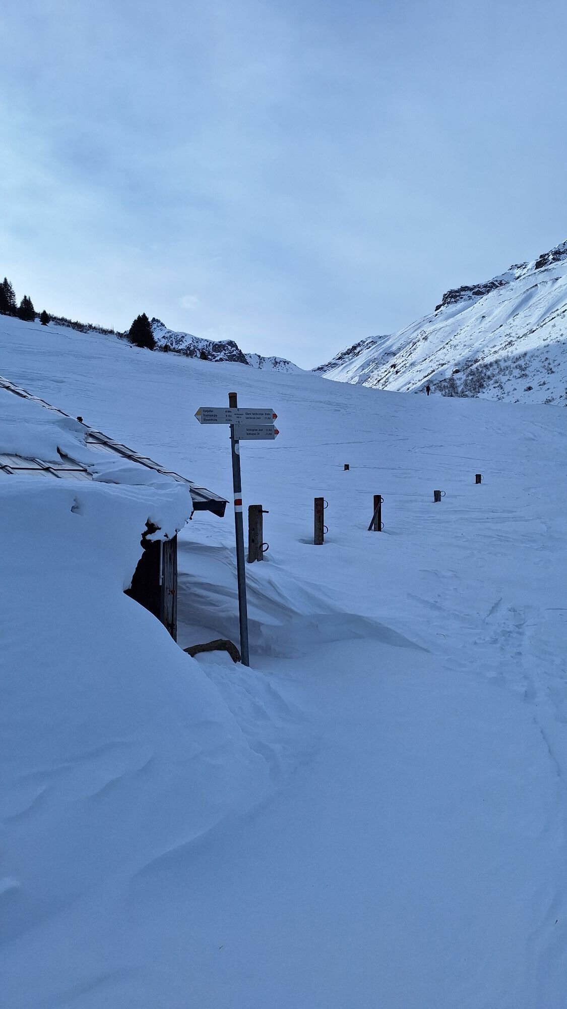


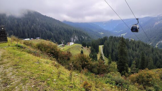
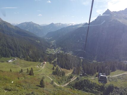
The Madrisa circuit starts in Klosters-Dorf. From there, take the gondola to Madrisa, the Schaffürggli chairlift, and the Madrisa button lift to reach around 2500 m. From the Madrisa ski area, cross eastward...
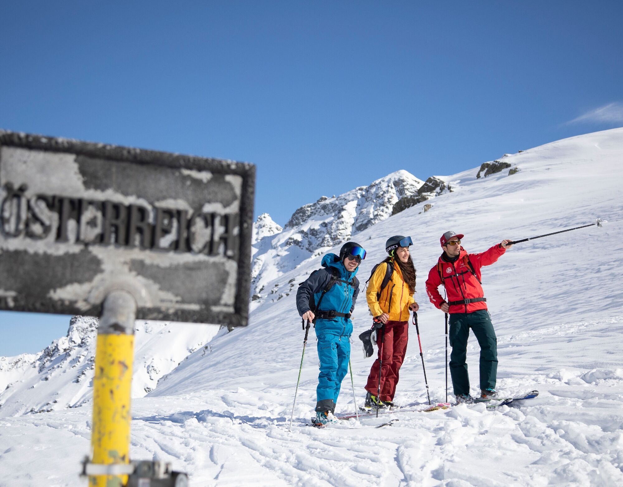
The Madrisa circuit starts in Klosters-Dorf. From there, take the gondola to Madrisa, the Schaffürggli chairlift, and the Madrisa button lift to reach around 2500 m. From the Madrisa ski area, cross eastward to Schlappinerjoch (2201 m) and then descend northwards into the Valzifenztal. Through this valley, you reach Gargellen (1420 m) in Montafon (Austria). Using a chairlift (Schafbergbahn) and ski lift (Kristallbahn), you ascend again to 2200 m. A short northward descent along the valley run to Gargellen is followed by about a 45-minute ascent to St. Antönier Joch.
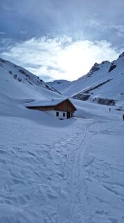
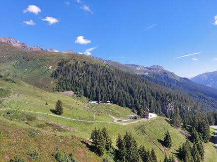
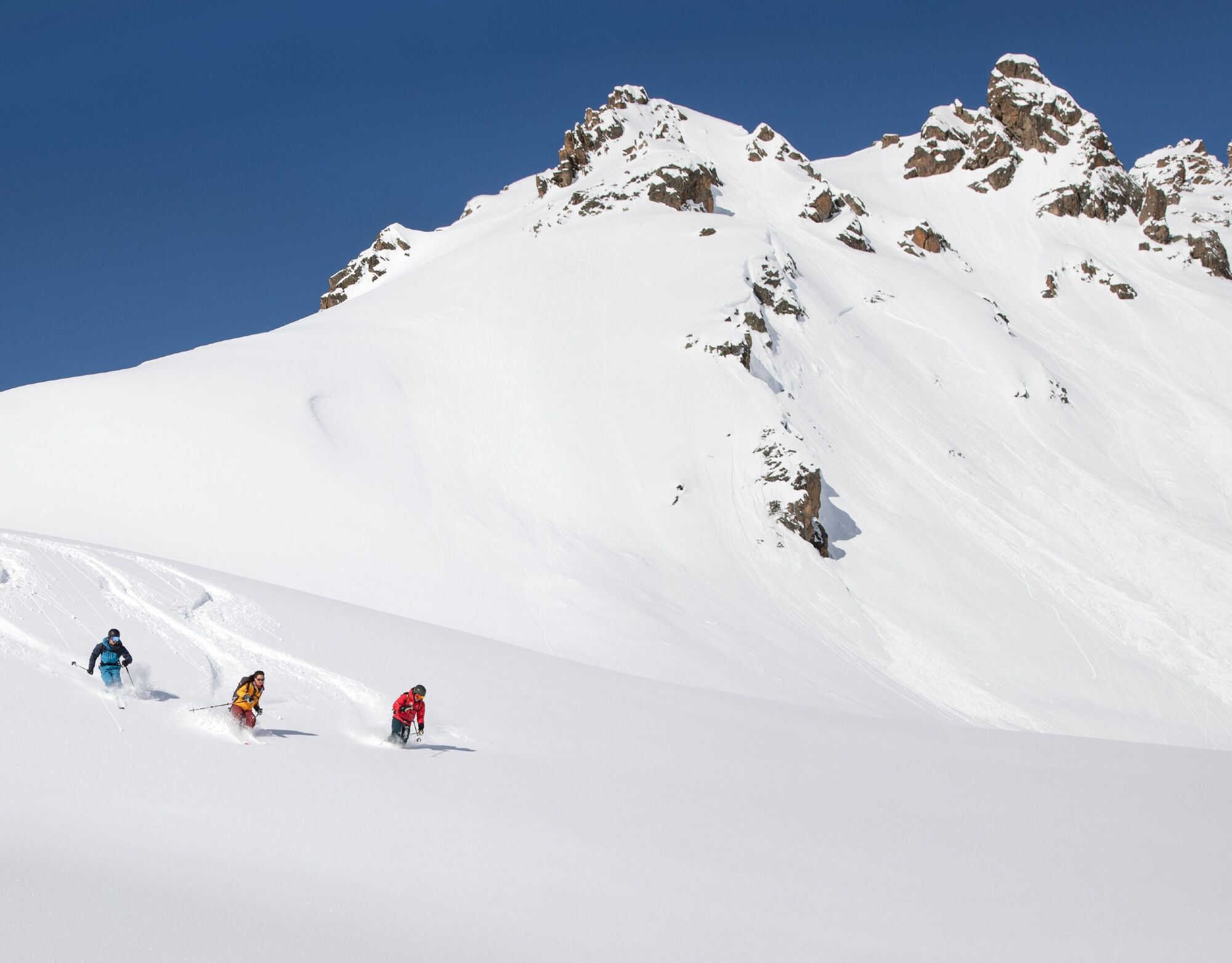
A wonderful descent through Alpeltitälli to St. Antönien completes the Madrisa circuit. What is a magnificent 3-day route in summer can be easily experienced in one day in winter.
After a well-deserved break in one of the cozy restaurants in St. Antönien, post buses take you to Küblis, where you can return by Rhaetian Railway to Klosters-Dorf.


Klosters-Dorf - Madrisa Mountain Station - Schlappinerjoch - Valzifenztal - Gargellen - Schafberg - St. Antönier Joch - Alpeltitälli - St. Antönien
Da
Da
Ski tours require good preparation (training / equipment etc.) and should only be undertaken in favorable weather and avalanche conditions.
The ski and snowshoe routes are to be understood as general directional indications. Depending on conditions, ascent and descent routes must be adjusted. No guarantee can be given for the accuracy, completeness, and timeliness of the information.
Ski touring in the open terrain is at your own risk. Every touring guest is strongly advised to prepare thoroughly, plan routes, and obtain current information on snow and avalanche conditions. Avalanche bulletin and snow info: www.slf.ch
All liability for accidents resulting from the use of the published information and route descriptions is excluded.
If in doubt, be accompanied by experienced tourers or a mountain guide: www.praettigau.info/bergfuehrer
Coming from Zurich / St. Margrethen, leave the A13/E43 motorway at Landquart towards Landquart, Davos, Vereina. Continue on the A28 to Klosters Dorf.
Take the Swiss Federal Railways (SBB) to Landquart, then change to the Rhaetian Railway (RhB) towards Davos-Platz. Get off at Klosters-Dorf.
Attention: Trains towards Scuol-Tarasp do not stop at Klosters-Dorf!
There are sufficient paid parking spaces available at the cable car stations. Please note that overnight parking is prohibited in the parking lot of the Madrisa cable cars.
Prättigau Marketing
Feldweg 19
CH-7233 Jenaz
T +41 (0)81 325 11 11
info@praettigau.info
www.praettigau.info
Tickets sind ausschliesslich an der Kasse der Madrisa Bergbahnen in Klosters erhältlich.
Camere web ale turului
-
Pizzeria Barga
-
Sportzentrum Klosters
-
Davos Sertig / Walserhuus
-
Sportzentrum Klosters
-
Sportzentrum Klosters
-
Sportzentrum Klosters
-
Sportzentrum Klosters
-
Sportzentrum Klosters
-
Sportzentrum Klosters
-
Gargellen - Haus Gadafent
-
Bergstation Kristallbahn - Gargellen
-
Madrisa Bergstation / Kinderland
-
Madrisa Bergstation / Kinderland
-
Madrisa Bergstation / Kinderland
-
Madrisa Bergstation / Kinderland
-
Madrisa Bergstation / Kinderland
-
Monbiel Parkplatz
-
Monbiel Parkplatz
-
Monbiel Parkplatz
-
Monbiel Parkplatz
-
Monbiel Parkplatz
-
Madrisaland
-
Madrisaland
-
Madrisaland
-
Madrisaland
-
Madrisaland
-
St. Antönien - Skilift
-
Skilift St. Antönien
-
Madrisa Bergstation / Kinderland
-
Bündelti
-
Bündelti
-
Bündelti
-
Bündelti
-
Gargellen
-
St. Antönien - Bord / Aschüel
Tururi populare în vecinătate
-
4,7
Smuggler’s path
mediuTraseu tematic 8,60 km -
4,4
Golm-Rundwanderweg im Rätikon
mediuTraseu tematic 7,28 km -
5,0
Ski tour to the Lindauer Hut (1,744 m)
luminăSkitour 14,0 km -
4,3
Golmer, Höhenweg und Golmer Seenrundweg
mediuDrumeții montane 7,62 km -
4,8
From Latschau through the Gauertal to the Lindauer Hütte
mediuSnowshoe 14,0 km -
3,5
Golmer Höhenweg
mediuExcursie 13,8 km -
4,5
Zamangspitze summit path
mediuTraseu tematic 7,07 km -
4,0
Golm, Seenweg
luminăExcursie 7,43 km -
4,4
Madrisella summit path
mediuTraseu tematic 10,8 km -
5,0
Gauertaler AlpkulTour
mediuTraseu tematic 11,2 km
Drumeții și urmărire


Nu ratați ofertele și inspirația pentru următoarea dvs. vacanță
Adresa dvs. de e-mail a fost adăugat la lista de corespondență.