


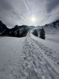
Panorama route to the Ostlerhütte


Fotografii ale utilizatorilor noștri
-
 © Margarita HildermannCreat pe 07.09.2025
 -
 © Margarita HildermannCreat pe 07.09.2025
 -
 © Margarita HildermannCreat pe 07.09.2025
 -
 © Margarita HildermannCreat pe 07.09.2025
 -
 © Margarita HildermannCreat pe 07.09.2025
 -
 © Margarita HildermannCreat pe 07.09.2025
 -
 © Margarita HildermannCreat pe 07.09.2025
 -
 © Margarita HildermannCreat pe 07.09.2025
 -
 © Margarita HildermannCreat pe 07.09.2025
 -
 © Margarita HildermannCreat pe 07.09.2025
 -
 © Margarita HildermannCreat pe 07.09.2025
 -
 © Margarita HildermannCreat pe 07.09.2025
 -

 © Anna AndrzejewskaCreat pe 18.08.2025
 -
 © Anna AndrzejewskaCreat pe 18.08.2025
 -
 © Anna AndrzejewskaCreat pe 18.08.2025
 -
 © Michael Schmitz 7Creat pe 19.07.2025
 -
 © Michael Schmitz 7Creat pe 19.07.2025
 -
 © xLeon-Alpin⛏️Creat pe 05.04.2025
 -
 © xLeon-Alpin⛏️Creat pe 05.04.2025
 -
 © xLeon-Alpin⛏️Creat pe 05.04.2025
 -
 © KatharinaCreat pe 13.06.2024
 -
 © KatharinaCreat pe 13.06.2024
 -
 © KatharinaCreat pe 13.06.2024
 -
 © KatharinaCreat pe 13.06.2024
 -
 © jurixCreat pe 09.10.2021
 -
 © jurixCreat pe 09.10.2021
 -
 © Dirk Rolf KitzeCreat pe 21.04.2025
 -
 © Dirk Rolf KitzeCreat pe 21.04.2025
 -
 © Dirk Rolf KitzeCreat pe 21.04.2025
 -
 © lotharkoernerCreat pe 12.06.2023
 -
 © lotharkoernerCreat pe 12.06.2023
 -
 © lotharkoernerCreat pe 20.06.2022
 -
 © lotharkoernerCreat pe 20.06.2022


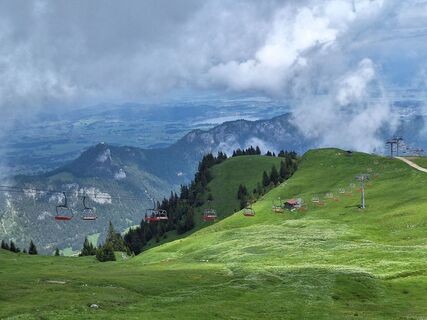
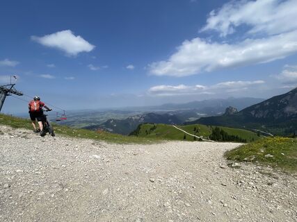
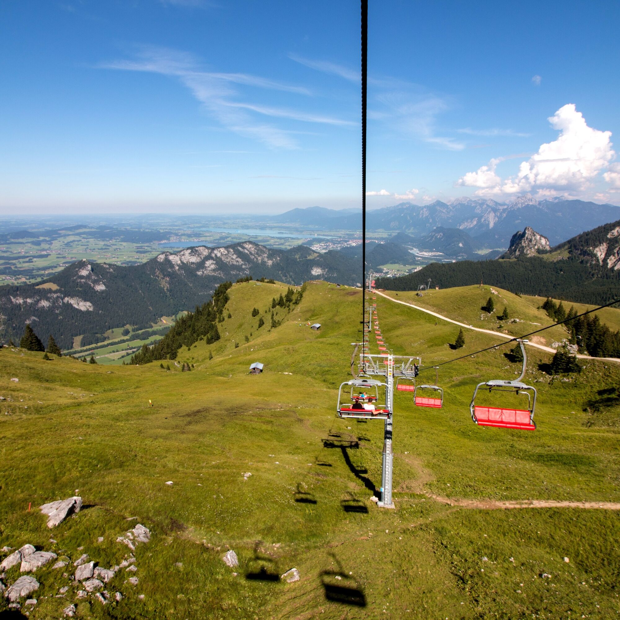
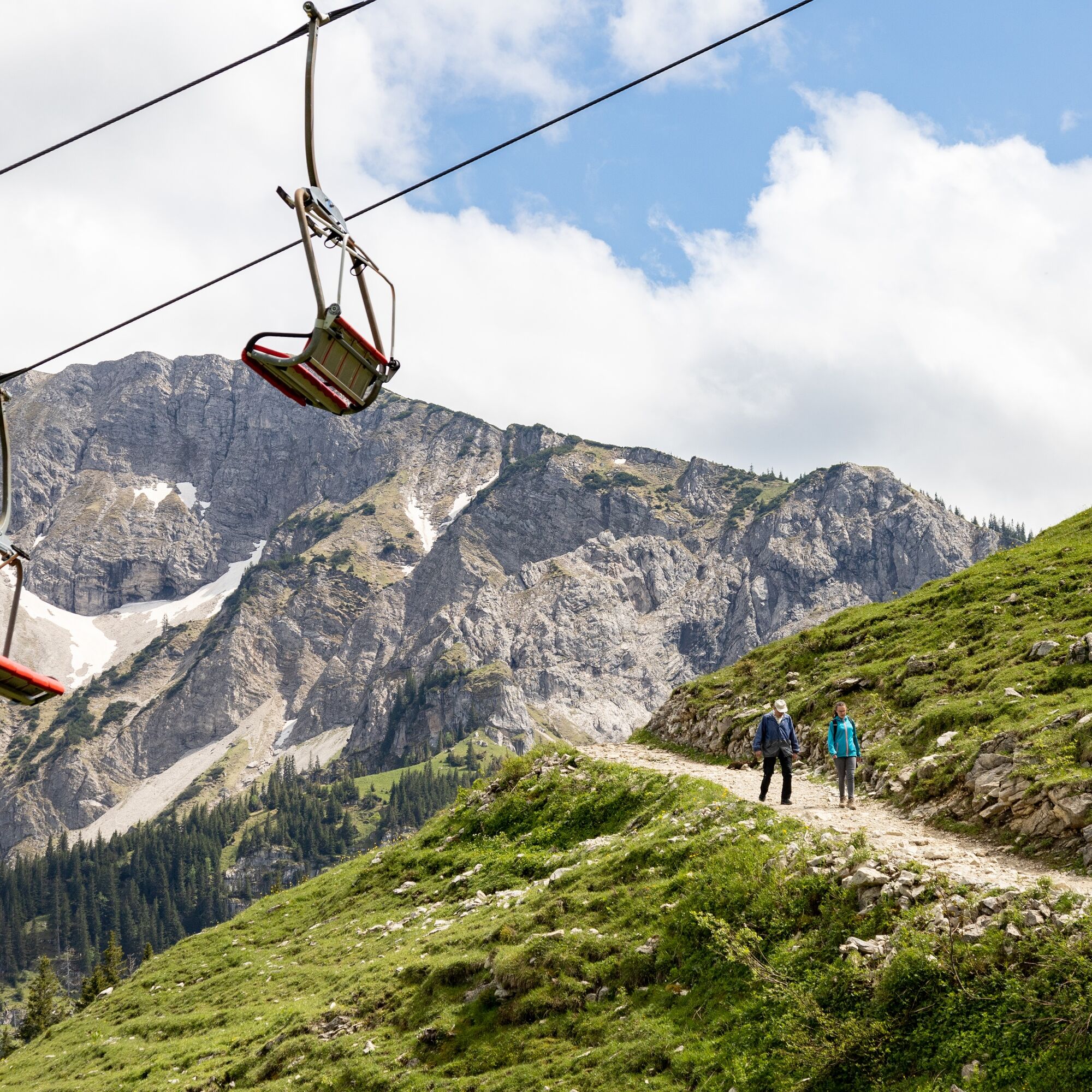
The route starts at the mountain station of the Breitenbergbahn (if you like, you can comfortably cover additional altitude with the "Hochalpbahn" chairlift). You go uphill over gravel paths through the...
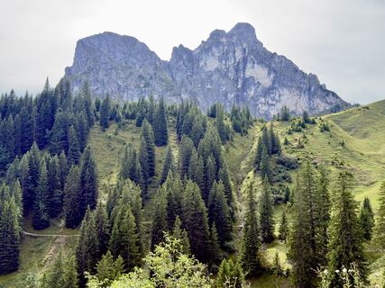
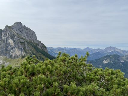
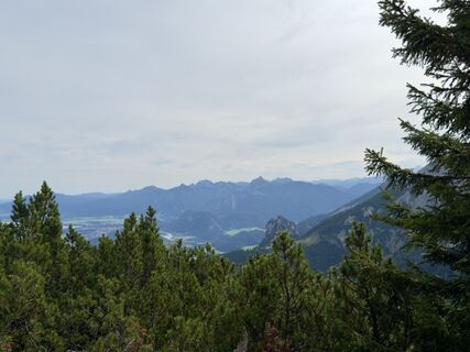
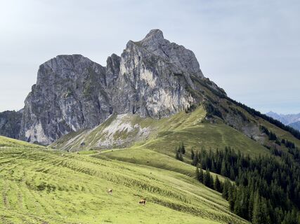
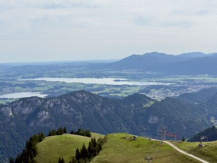
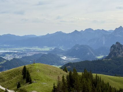
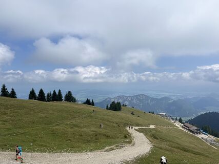
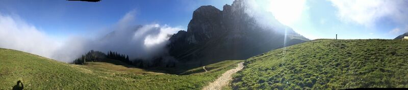
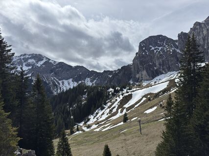
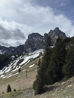
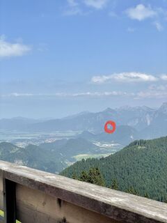
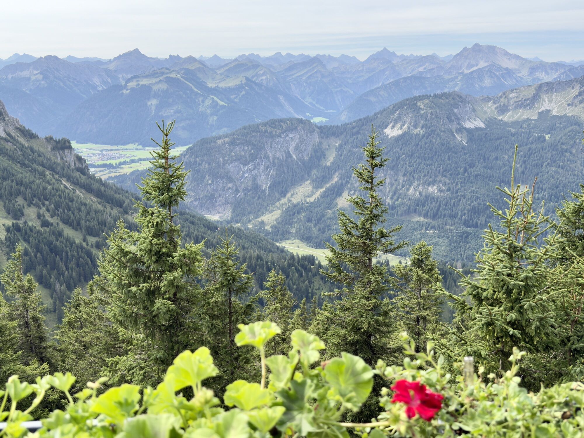
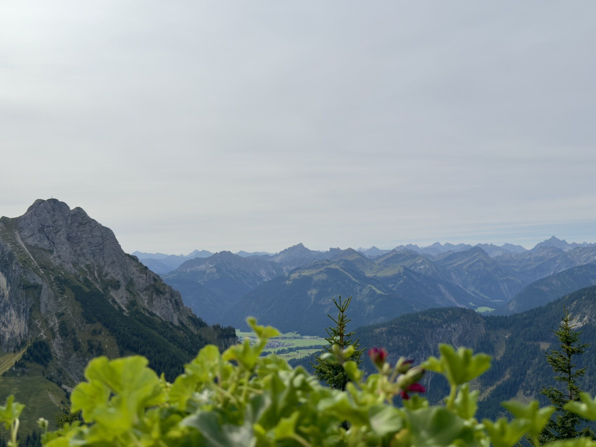
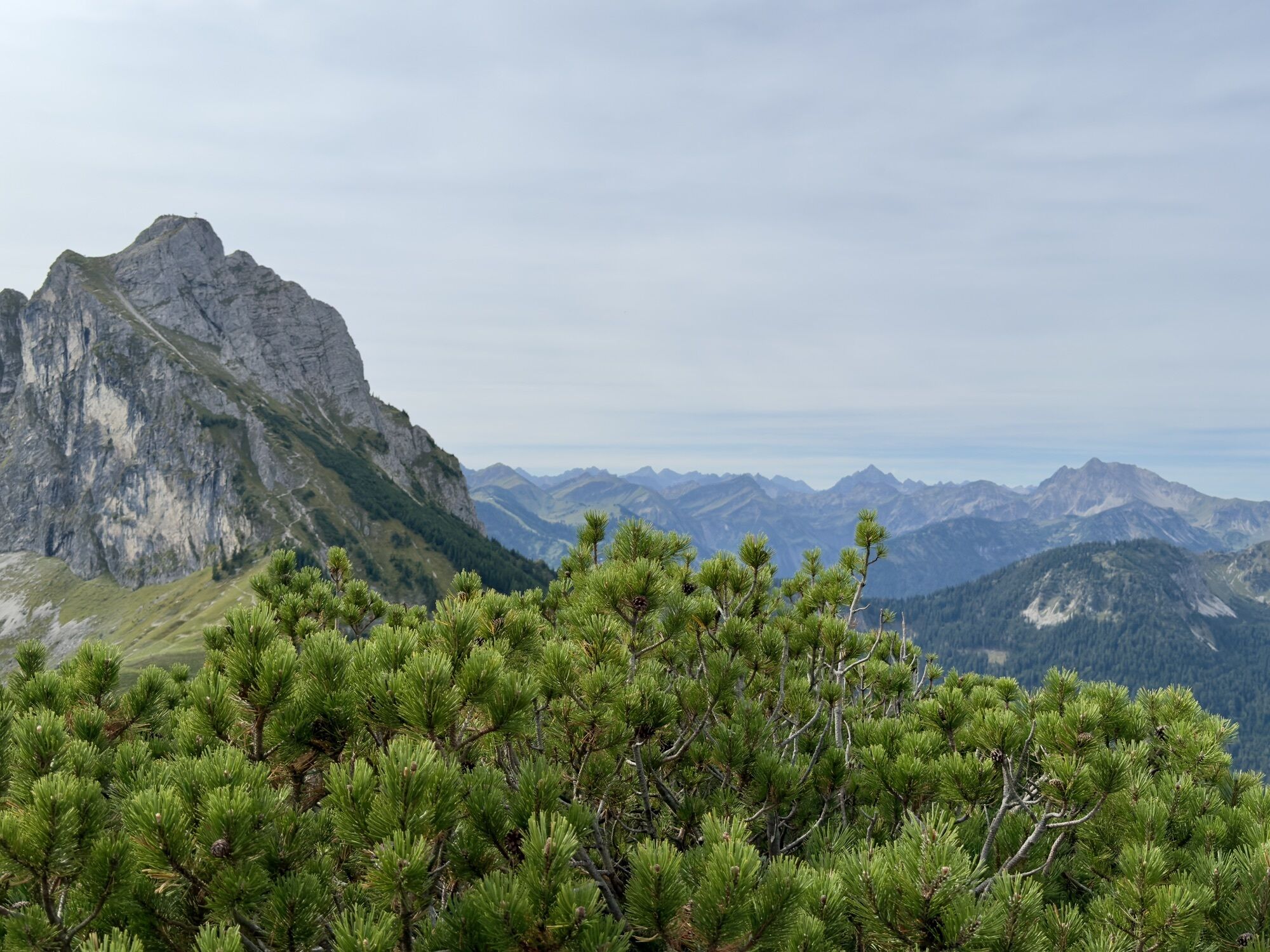
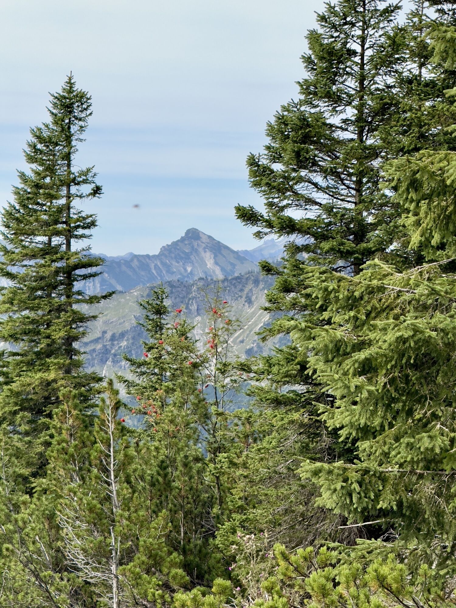
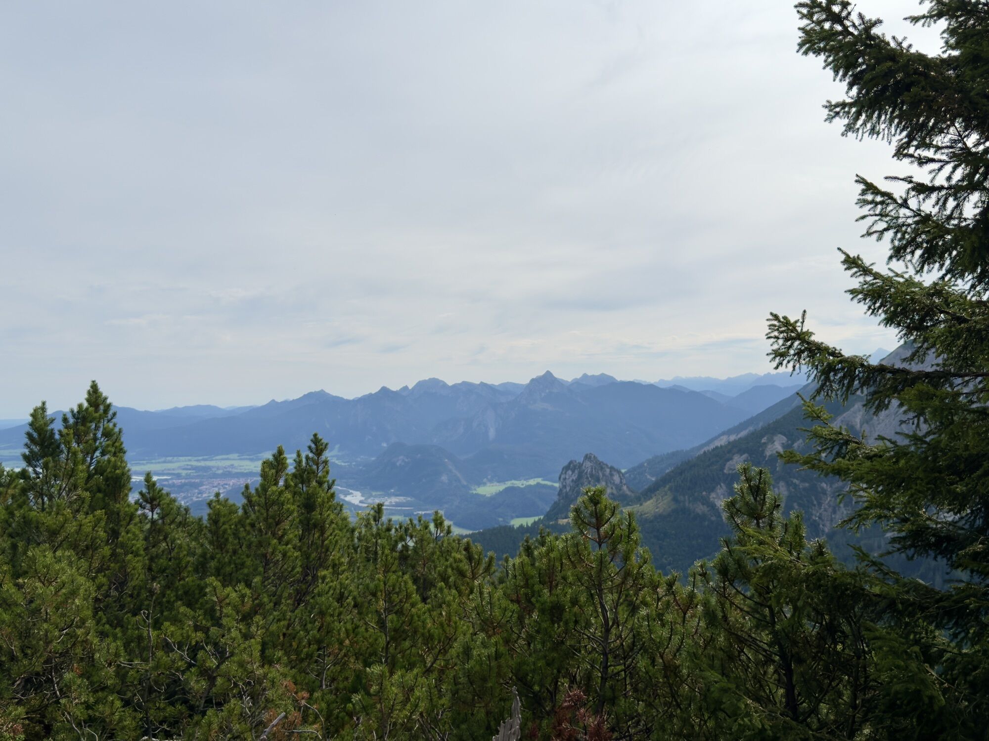
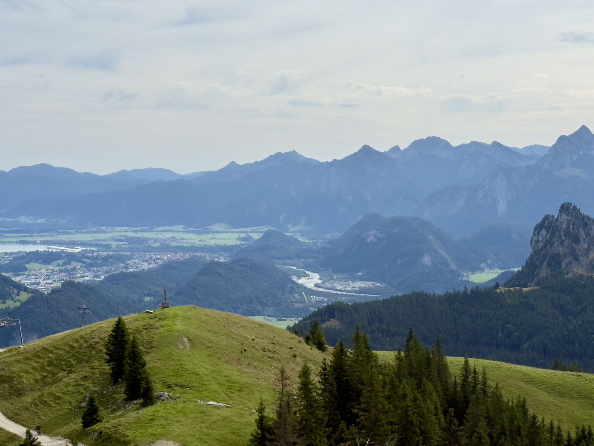
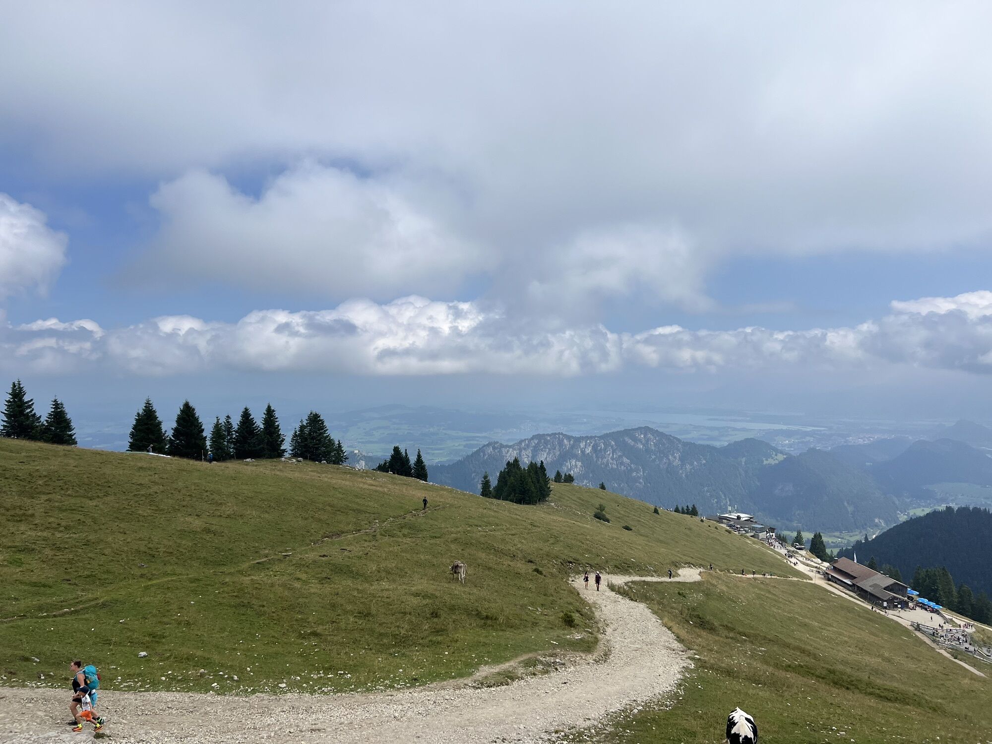
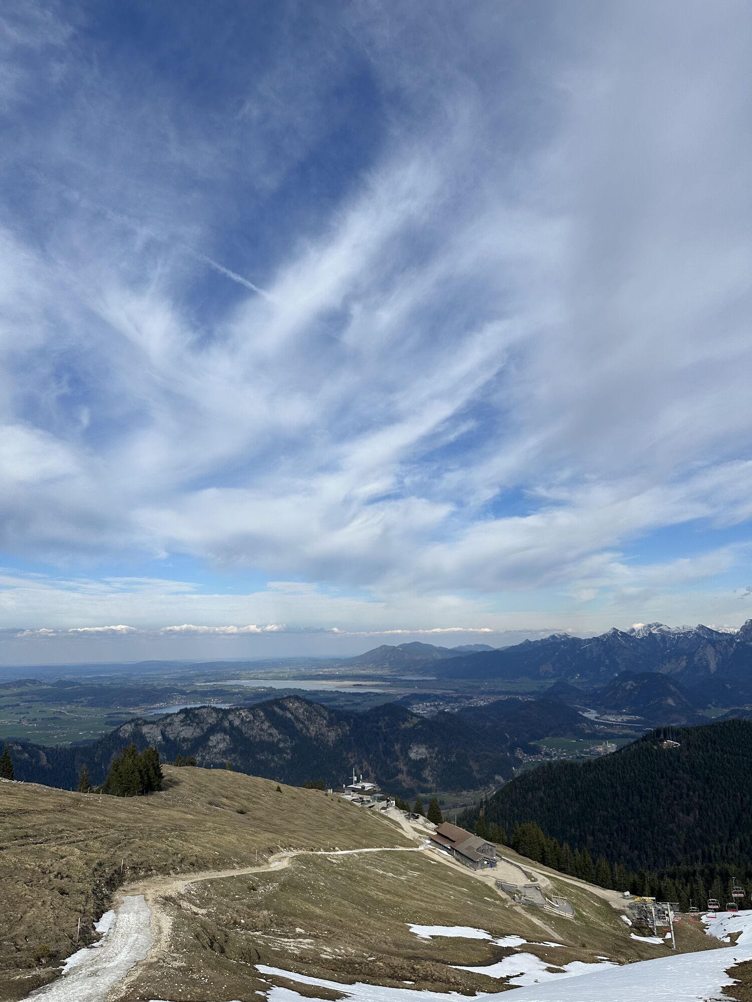
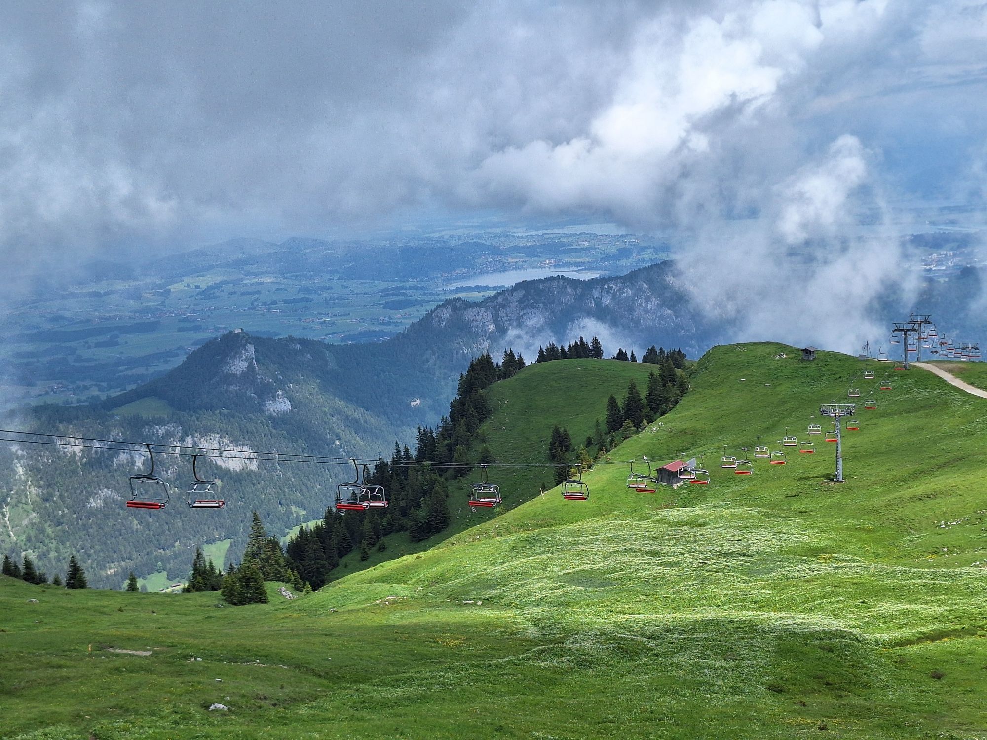
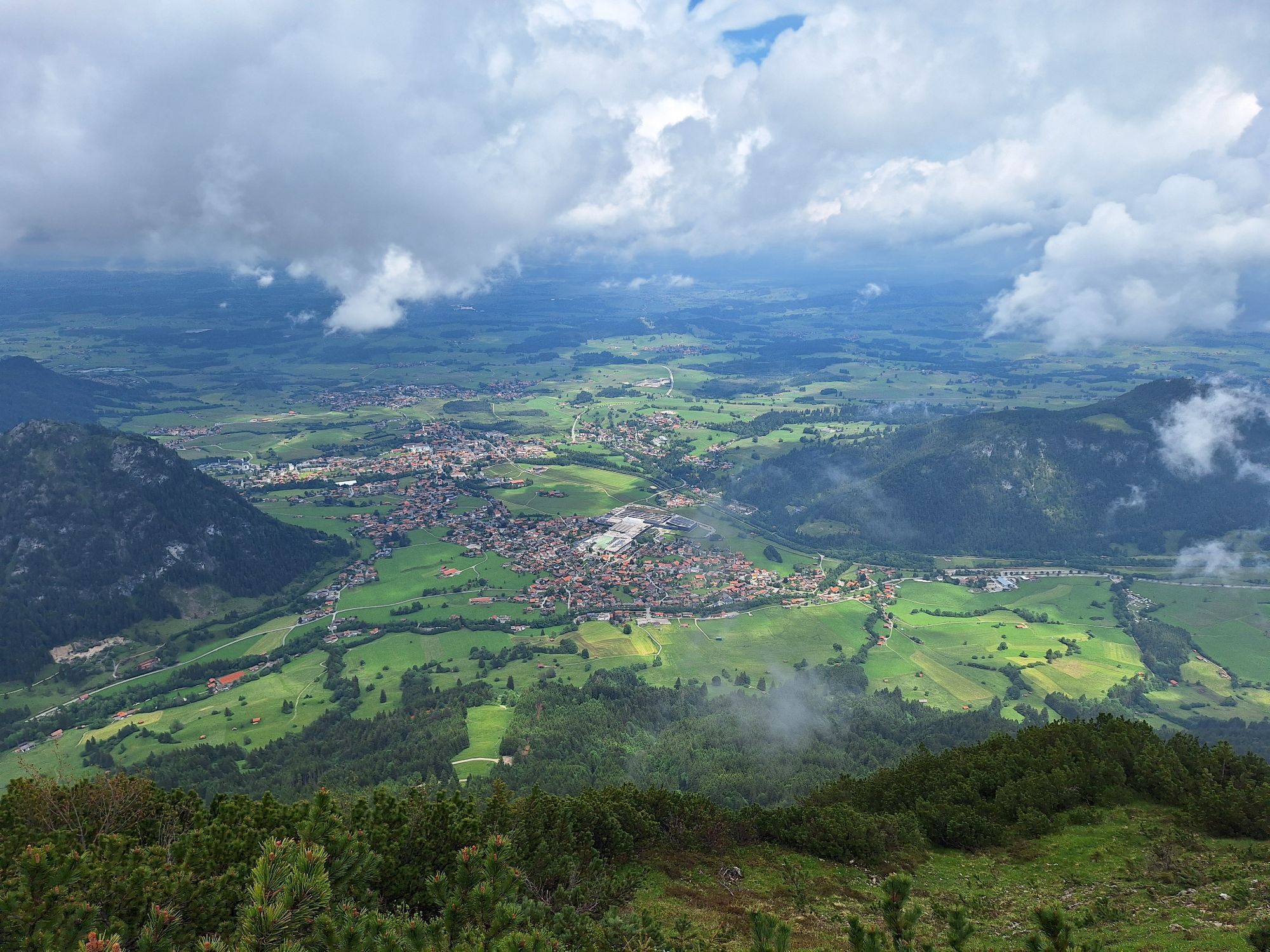
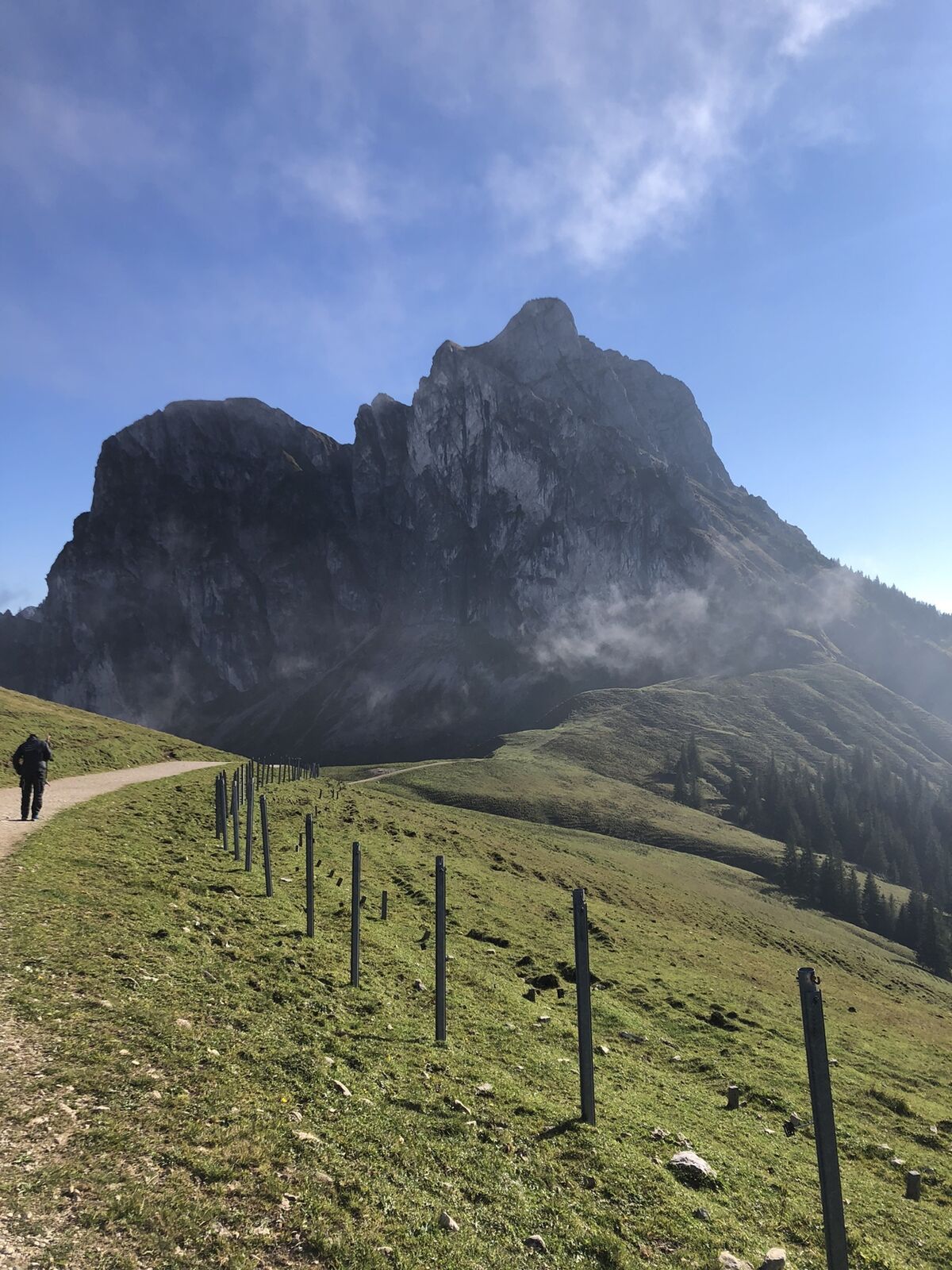
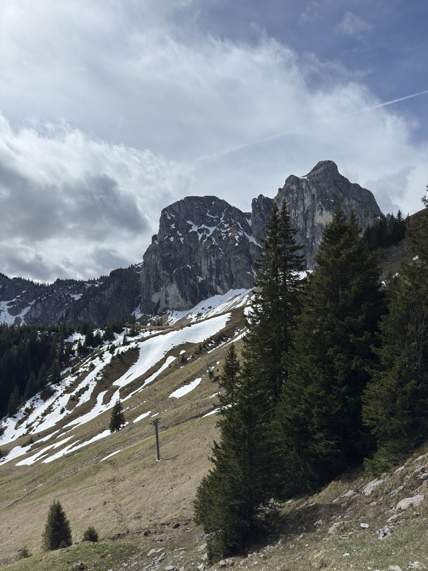
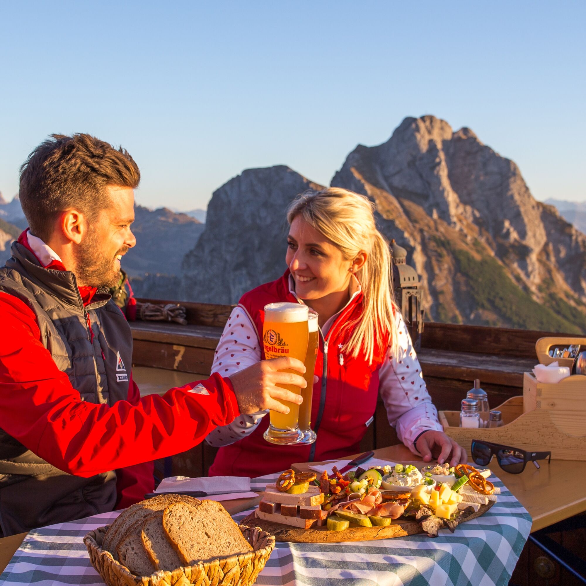
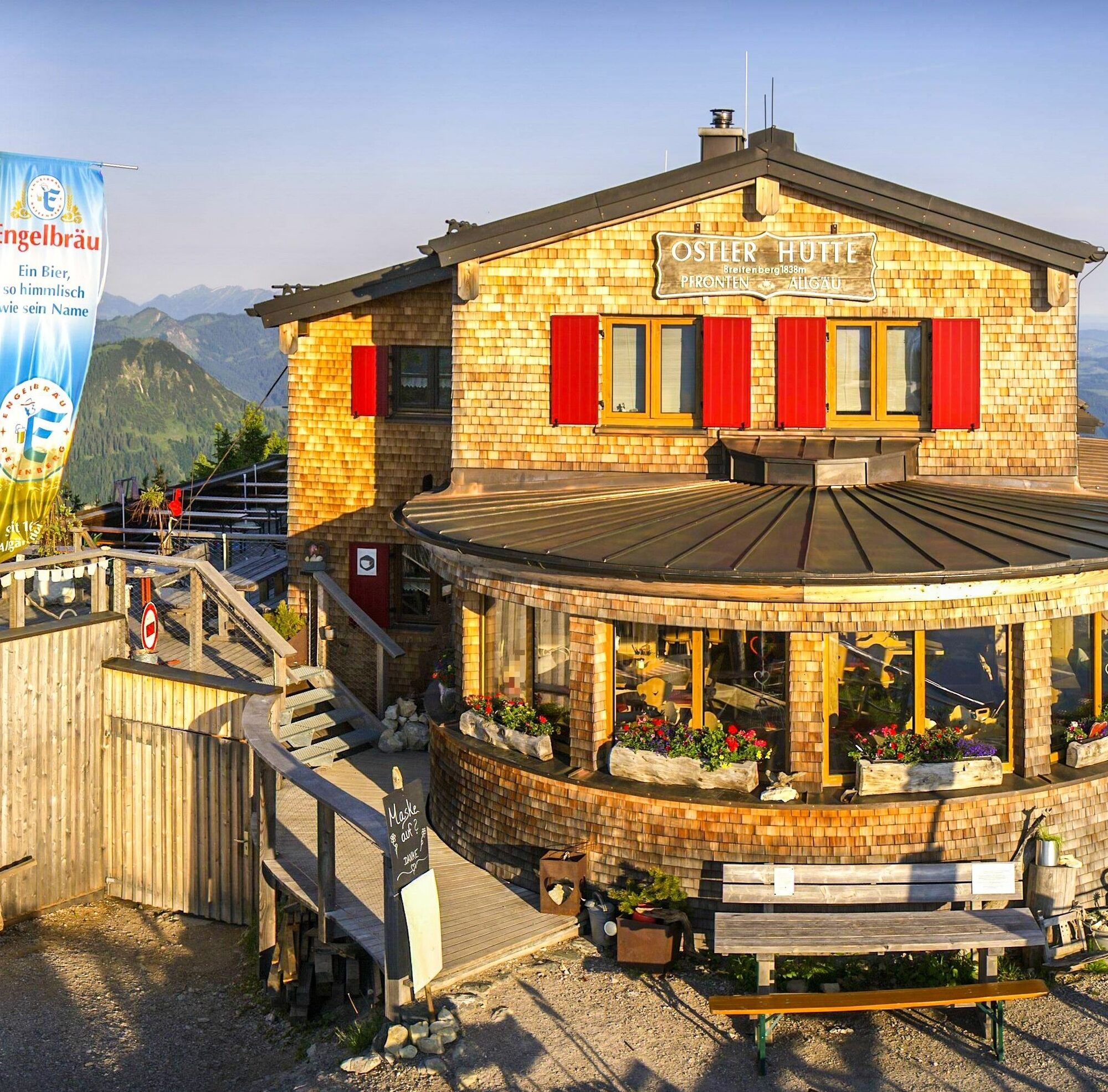
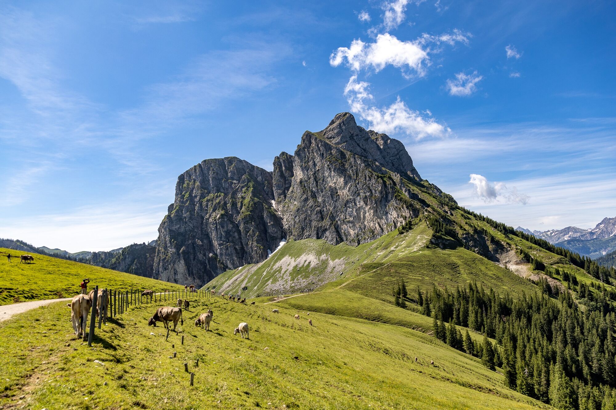
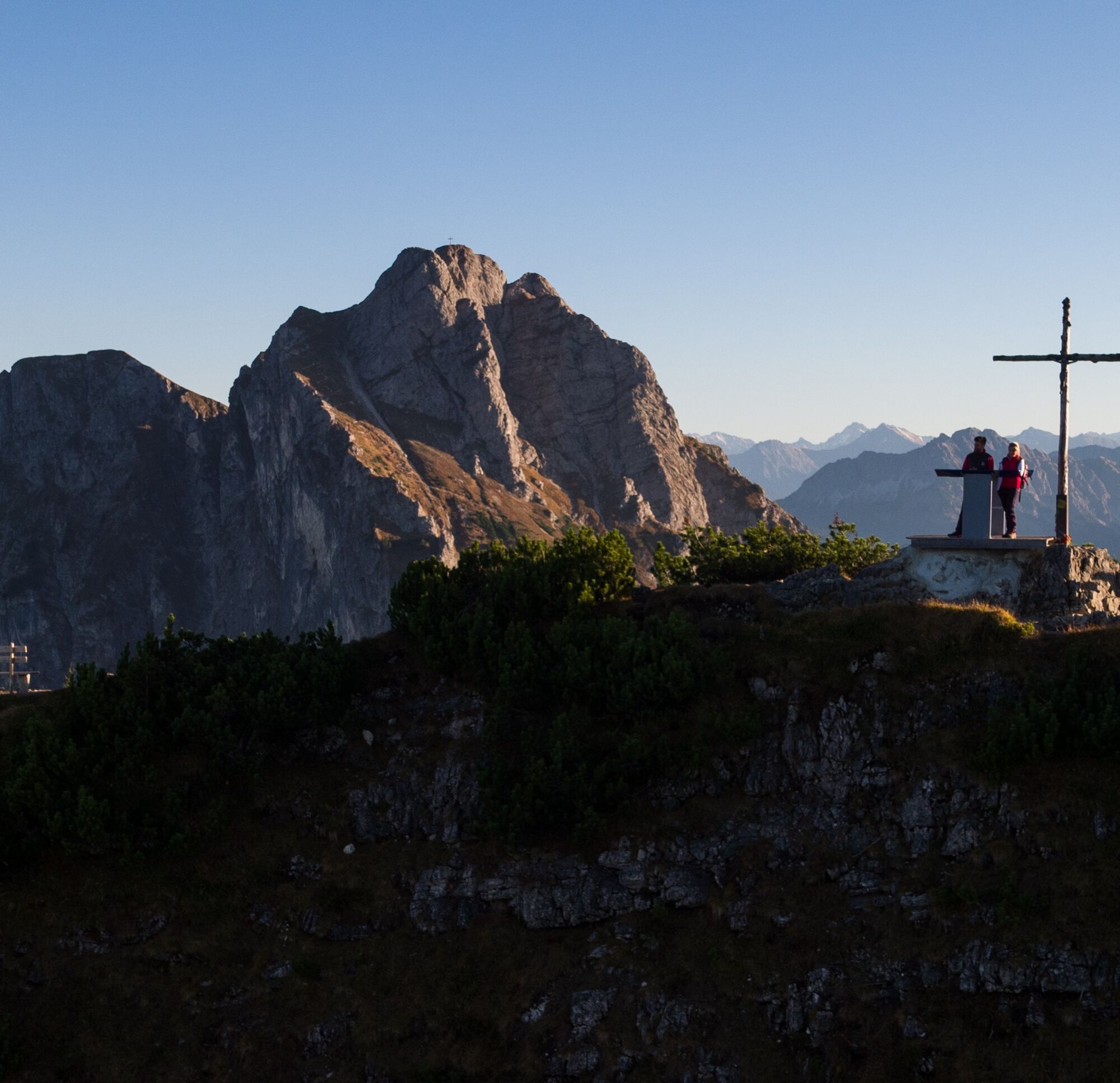
The route starts at the mountain station of the Breitenbergbahn (if you like, you can comfortably cover additional altitude with the "Hochalpbahn" chairlift). You go uphill over gravel paths through the high plateau on the Breitenberg to the mountain station of the chairlift. Upon arrival, the path turns right towards the Ostlerhütte. Follow the path for another 800 meters to the summit of the Breitenberg. Once at the top, a detour to the summit cross with a small viewing platform is worthwhile. Just a few meters away is the popular Ostlerhütte - with a great 360-degree panorama of the Allgäu and Tyrolean Alps as well as the vast Alpine foothills.
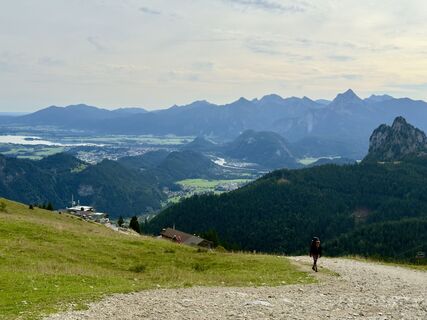
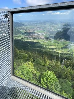
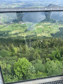
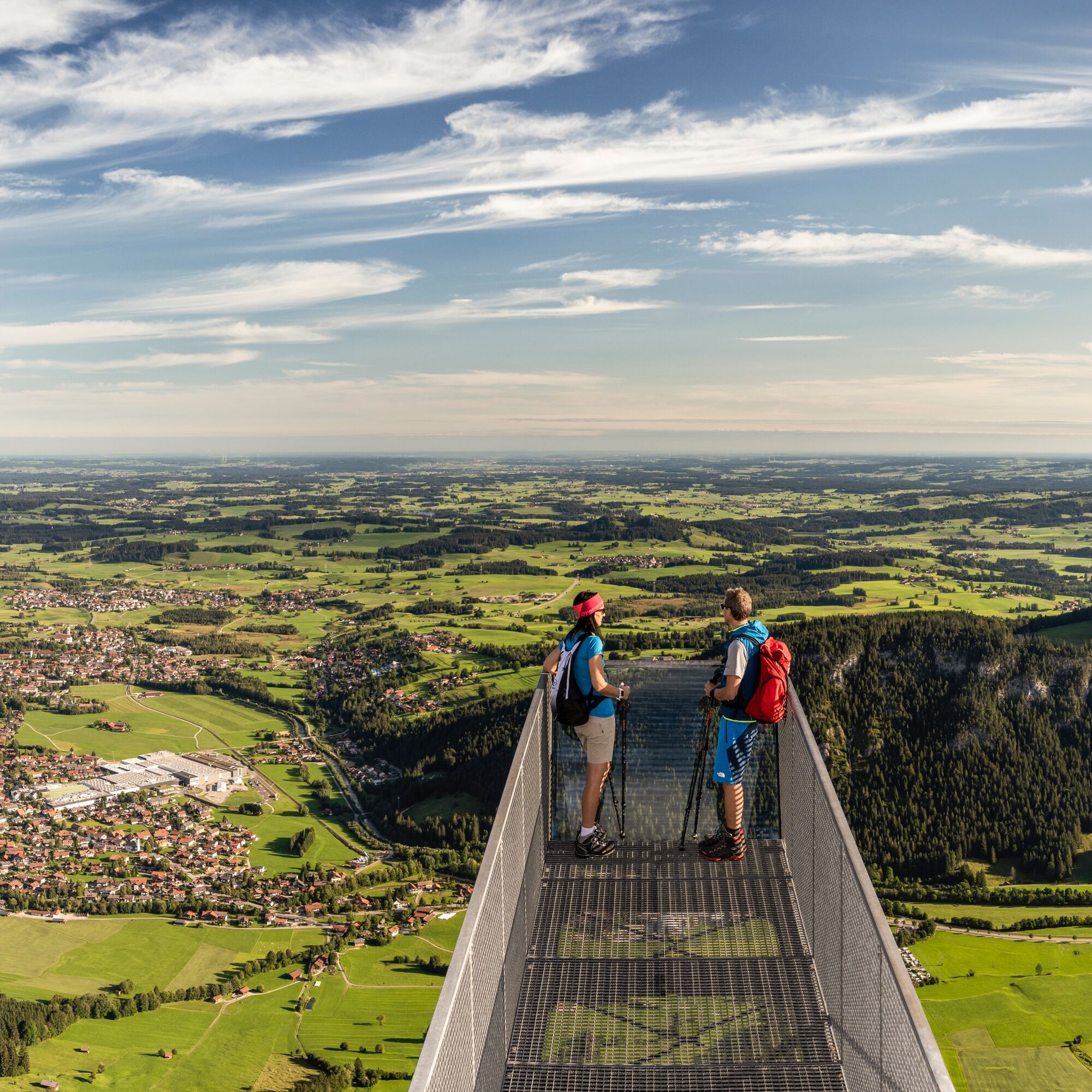
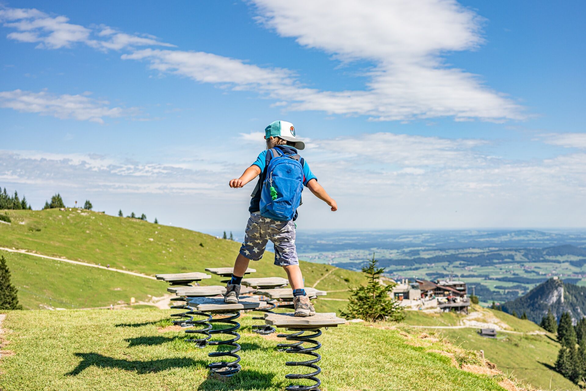
After the stop at the Ostlerhütte, the path leads you back down to the mountain station of the Hochalpbahn. Passing the chairlift, follow the signposting of the "Juwelenweg". The Juwelenweg is a wonderful adventure trail with various activity stations for children. Even if the interactive play stations don’t interest you much, you will surely be amazed by the fantastic landscape. At the end of the path is the Hochalphütte.

Da
Da
Da
Da
The Pfronten-Steinach train station is located directly at the valley station of the Breitenbergbahn.
There are parking spaces available at the Breitenbergbahn.
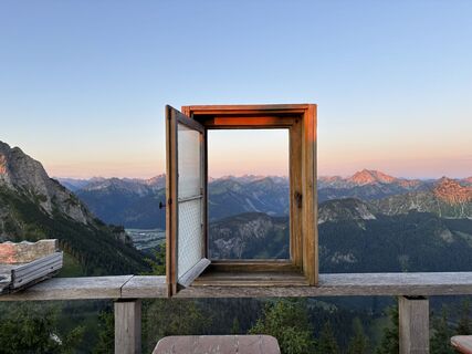
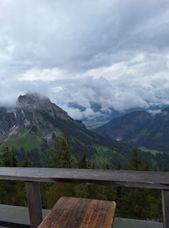
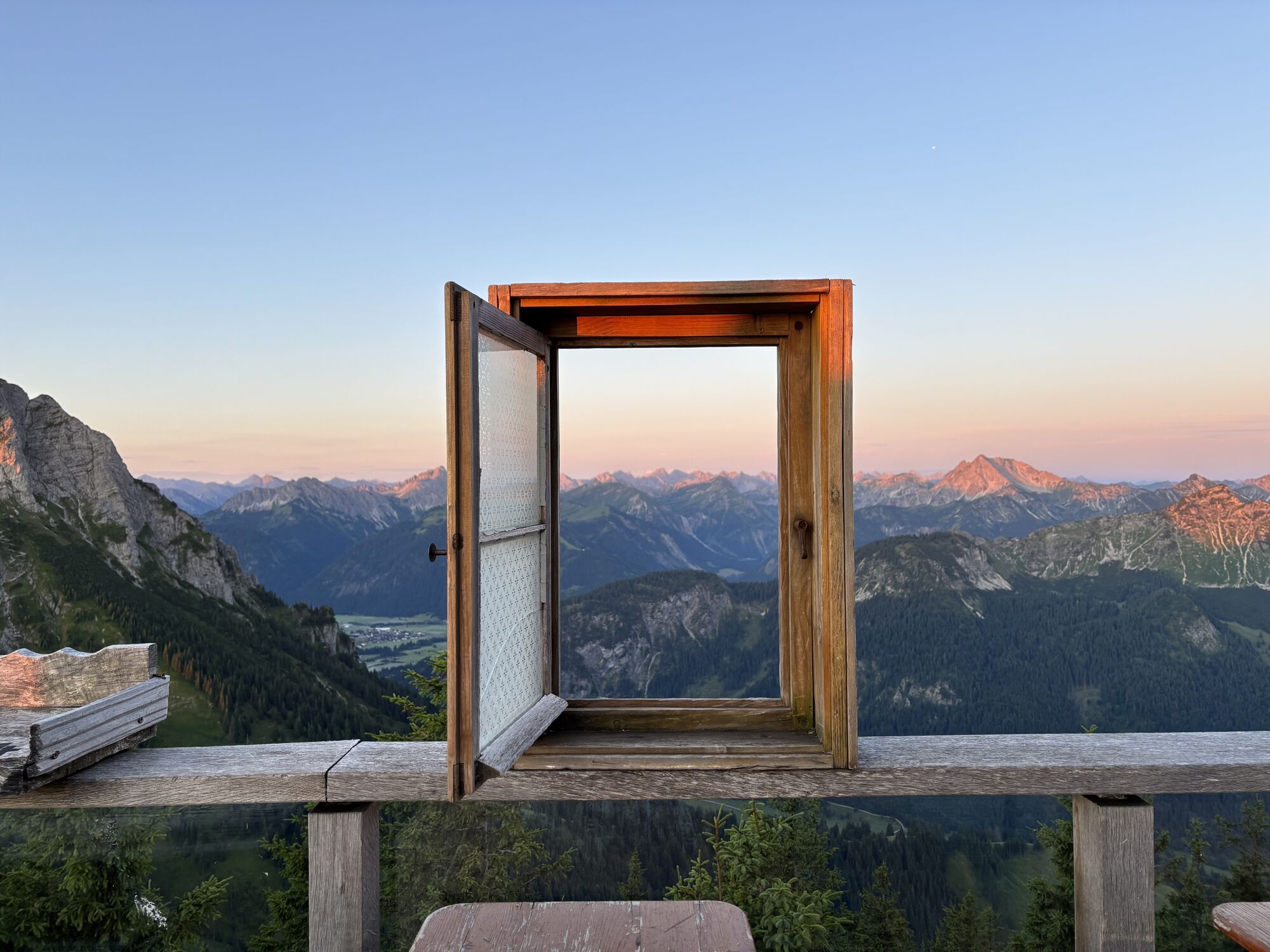
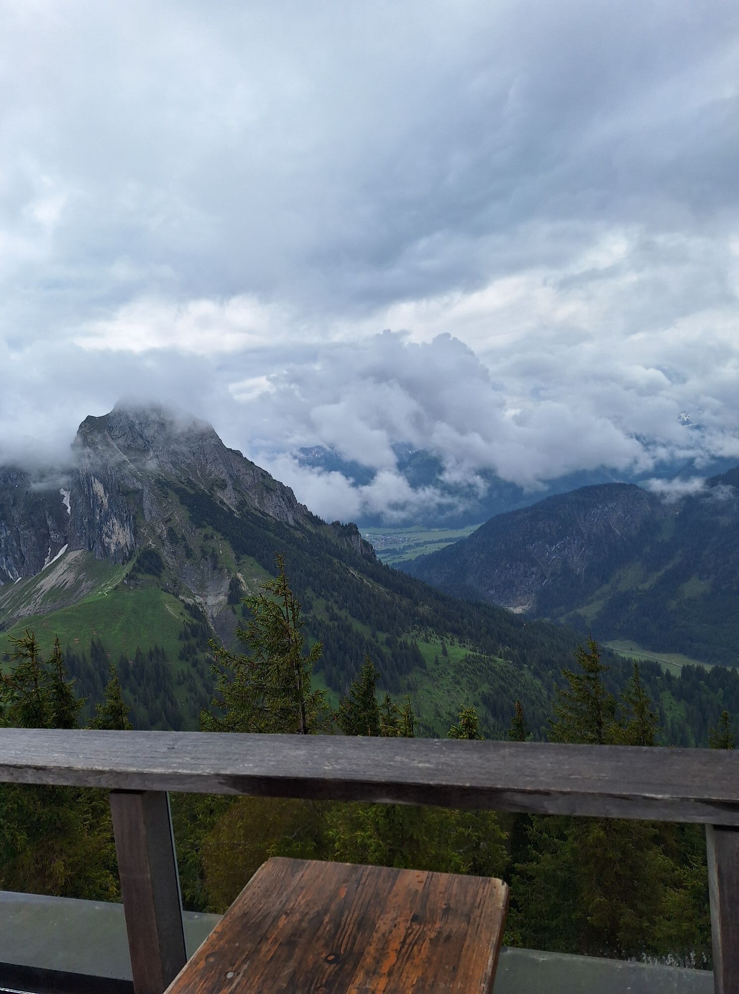
The Ostlerhütte is located directly on the summit of the Breitenberg. A visit to the wonderful sun terrace is well worth it. Another place to stop for refreshments is the Hochalphütte at the end of the route.
Tururi populare în vecinătate
-
4,2
Three-lake route (awarded the Tyrolean Hiking Trail Seal of Quality)
mediuExcursie 14,8 km -
4,2
Höllschlucht hike » Water & Forest
mediuExcursie 7,38 km -
4,6
3-Seen Rundtour Vilsalpsee / Schrecksee / Traualpsee
mediuExcursie 17,1 km -
4,8
3-Gipfel-Tour
mediuExcursie 11,2 km -
4,5
Mountain hike to the Aggenstein
greleExcursie 15,3 km -
4,0
De la Tannheim la Sulzspitze
mediuExcursie 15,6 km -
4,8
Around Weißensee
luminăExcursie 6,12 km -
5,0
Hiking tour to Breitenberg
greleExcursie 15,6 km -
5,0
Gemeinde Grän, Tirol/Österreich Aggenstein Rundtour über Höhenweg
mediuExcursie 9,84 km -
4,8
To the Bad Kissinger Hut via the Gräner Höhenweg
mediuExcursie 13,0 km

Drumeții și urmărire


Nu ratați ofertele și inspirația pentru următoarea dvs. vacanță
Adresa dvs. de e-mail a fost adăugat la lista de corespondență.