


Walking loop to Col de Bramanette


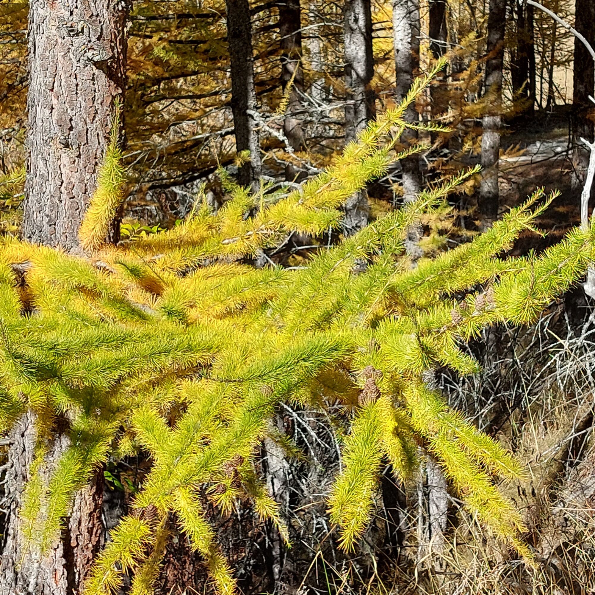
The downhill start provides a comfortable warm-up kilometer before a serious climb in the cool of the forest. The smell of humus moistened by morning dew gives you the energy you need to reach the Bramanette...
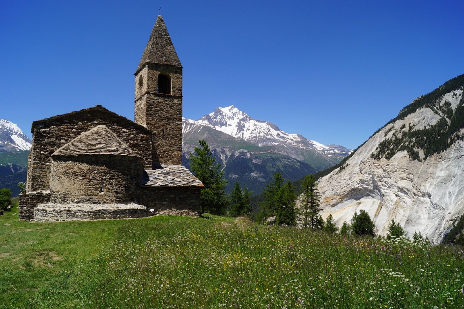
The downhill start provides a comfortable warm-up kilometer before a serious climb in the cool of the forest. The smell of humus moistened by morning dew gives you the energy you need to reach the Bramanette refuge and take a well-deserved break. Take time to scan the ridges of the Dent Parrachée on the already sunny side of Aussois. The shepherd of the mountain pasture might even let you meet his sheep. But never fear! His faithful patous require
only the distance necessary for the well-being of their flock. Leave the chalets typical of high-altitude pastures. Your stride becomes
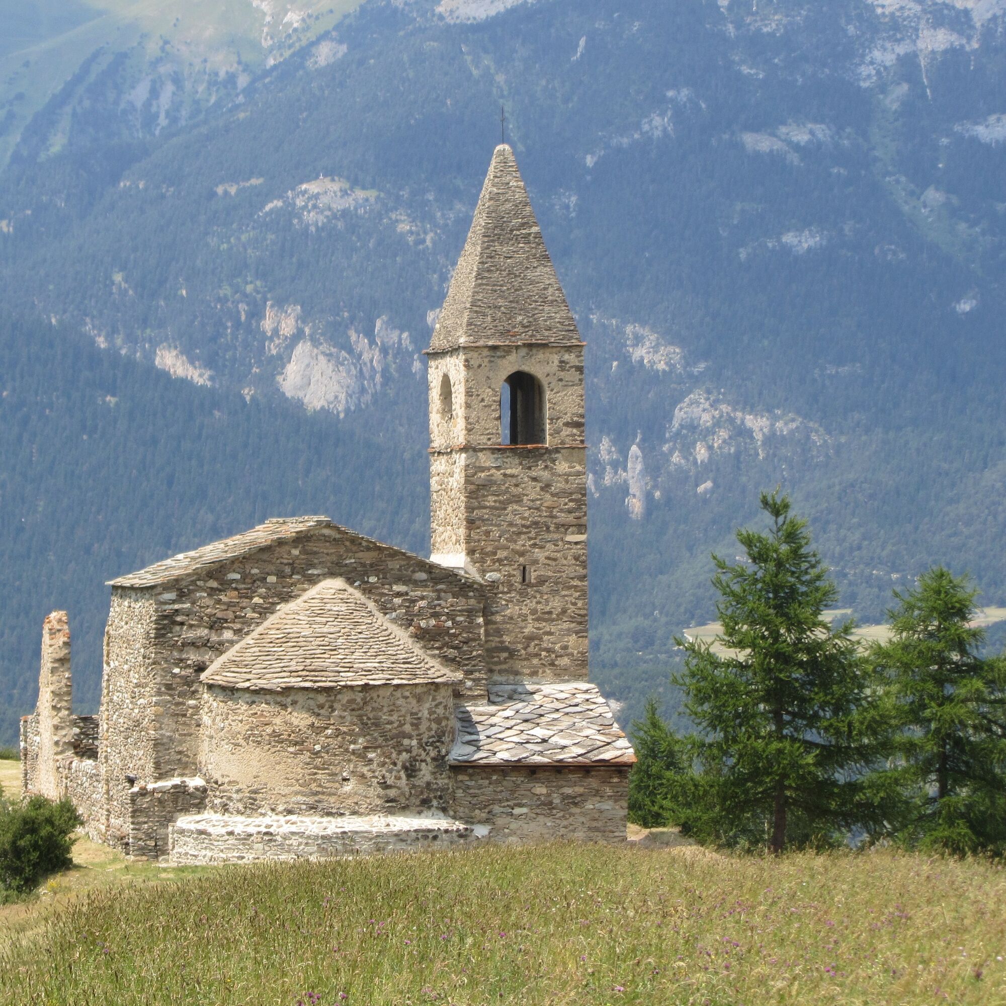
to reach the pass at 2855m. You may be lucky enough to catch a glimpse of some chamois, accustomed to the surrounding slopes. The eastern slope now offers you the wild scenery of the Dents d'Ambin. So characteristic from their 3369 m altitude, they seem so close! Off you go to Lac du Liael and then the Montbas mountain pasture. Treat yourself to a truly contemplative rest. The sound of birdsong beckons you on your final descent through the forest to the church of St-Pierre-d'Extravache.

To guide you in the field, consult the "step-by-step" directional diagram provided in pdf.
The duration of hiking trails is calculated using reference paces: 300 m/h ascent, 500 m/h descent and 4 km/h on the flat.
As hazards may occur at any time on the routes, the GPX tracks provided are not contractual. They are given for information only. Riders use them at their own risk, depending on their level of technological proficiency and their understanding of the terrain.
Tururi populare în vecinătate
-
5,0
BARDONECCHIA Decauville
luminăExcursie 7,29 km -
BARDONECCHIA Colle Sommeiller
mediuMountainbike 25,4 km -
Refuge du Fond d'Aussois - a wild valley in the Vanoise - 2-day hike
mediuExcursie 9,24 km -
The White Lake
luminăExcursie 4,42 km -
BARDONECCHIA Decauville - Rifugio Scarfiotti Ring
luminăMountainbike 34,0 km -
Col du Mont Cenis from Lanslebourg
mediuBicicletă de șosea 9,84 km -
5,0
BARDONECCHIA Forte Jafferau Ring
greleMountainbike 36,8 km -
Sentier pédestre des Sculptures - Land Art Montagne
greleTraseu tematic 5,16 km -
BARDONECCHIA Forte Foens - Galleria dei Saraceni - Forte Pramand
mediuMountainbike 34,3 km -
Col du Mont Cenis from Modane
mediuBicicletă de șosea 34,8 km

Drumeții și urmărire


Nu ratați ofertele și inspirația pentru următoarea dvs. vacanță
Adresa dvs. de e-mail a fost adăugat la lista de corespondență.