


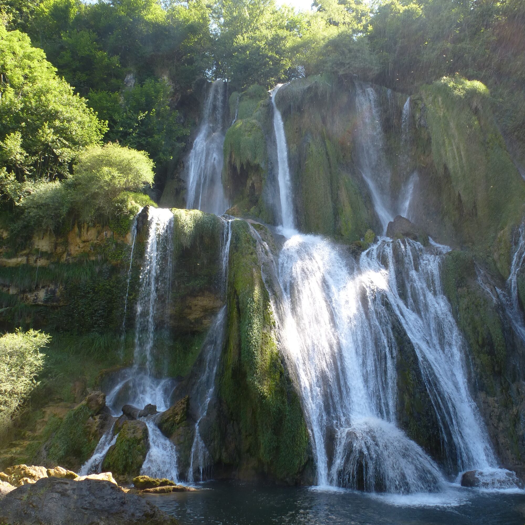
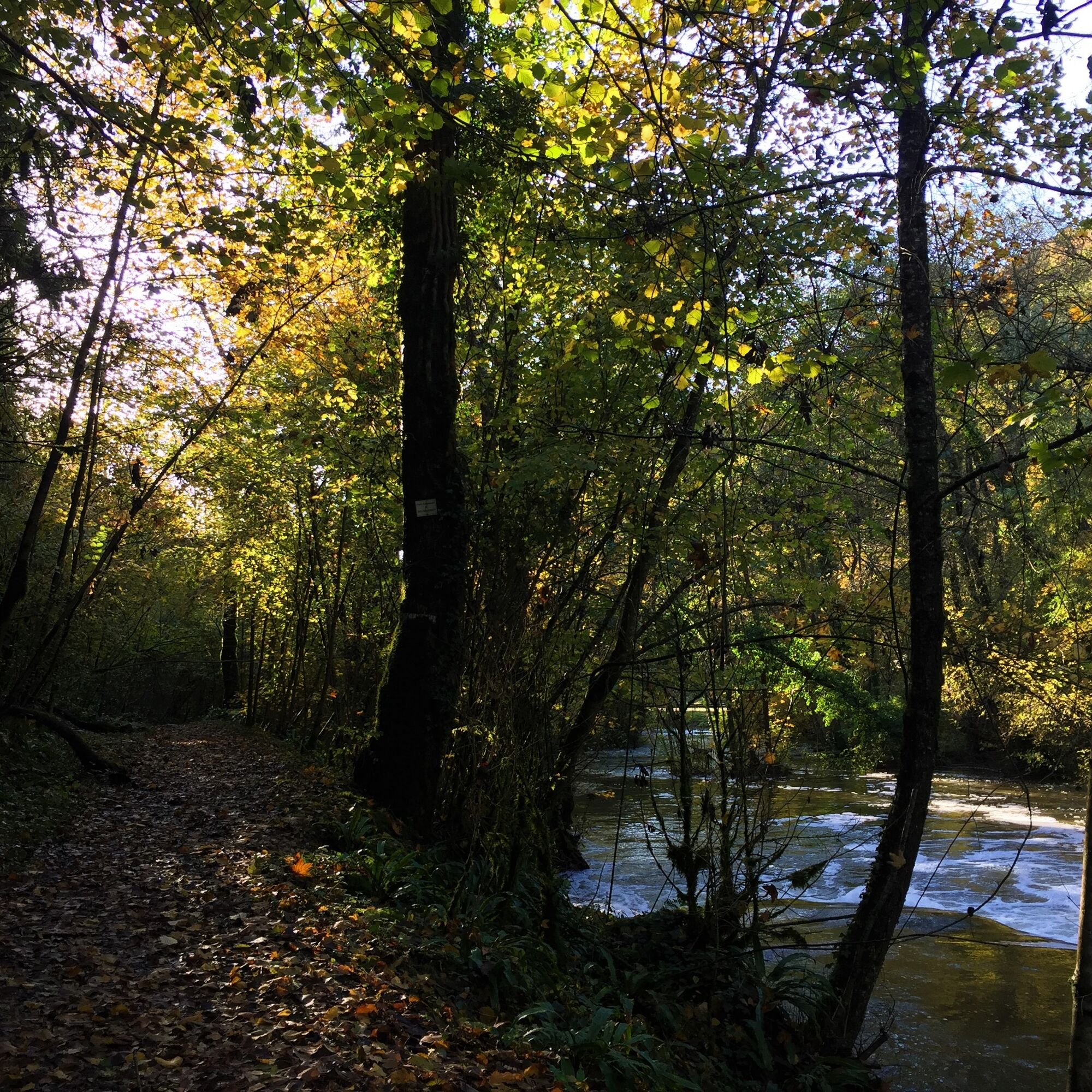
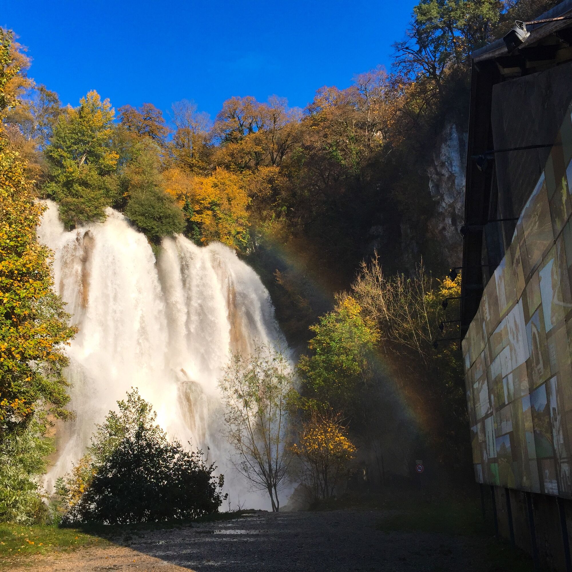
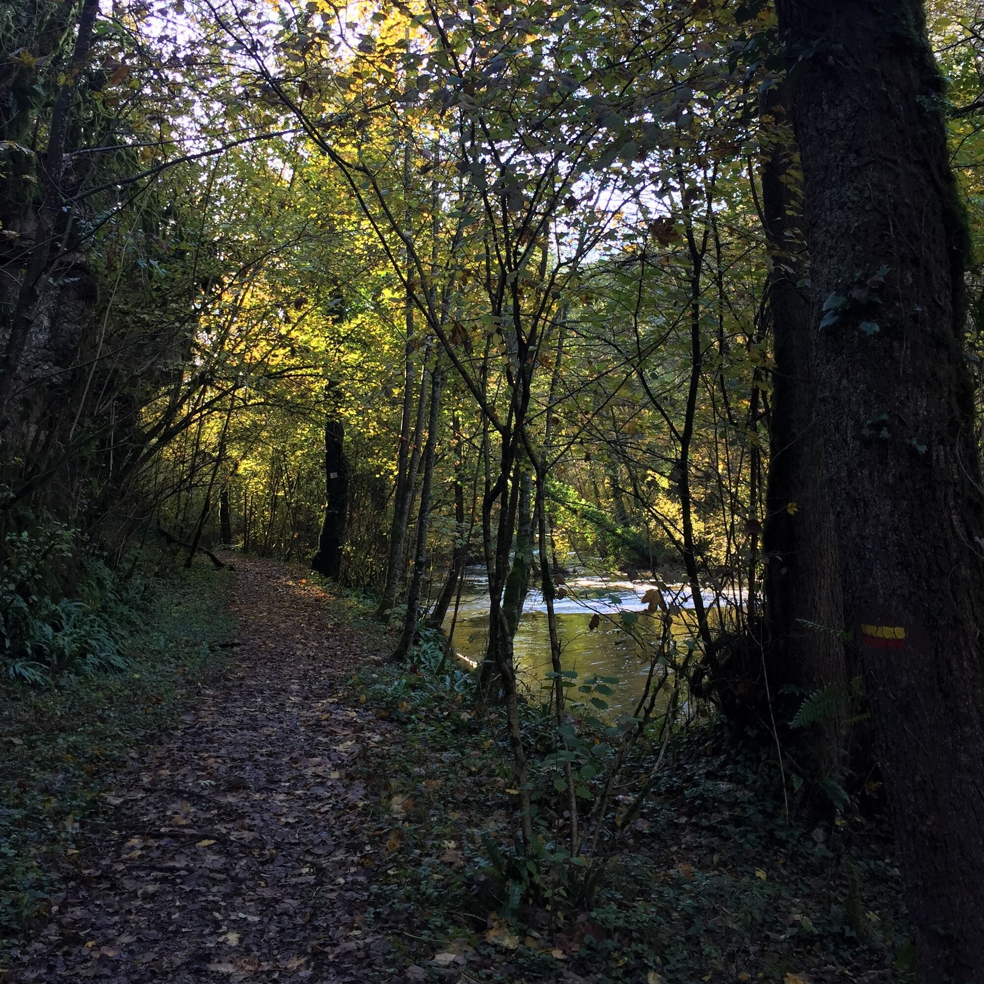
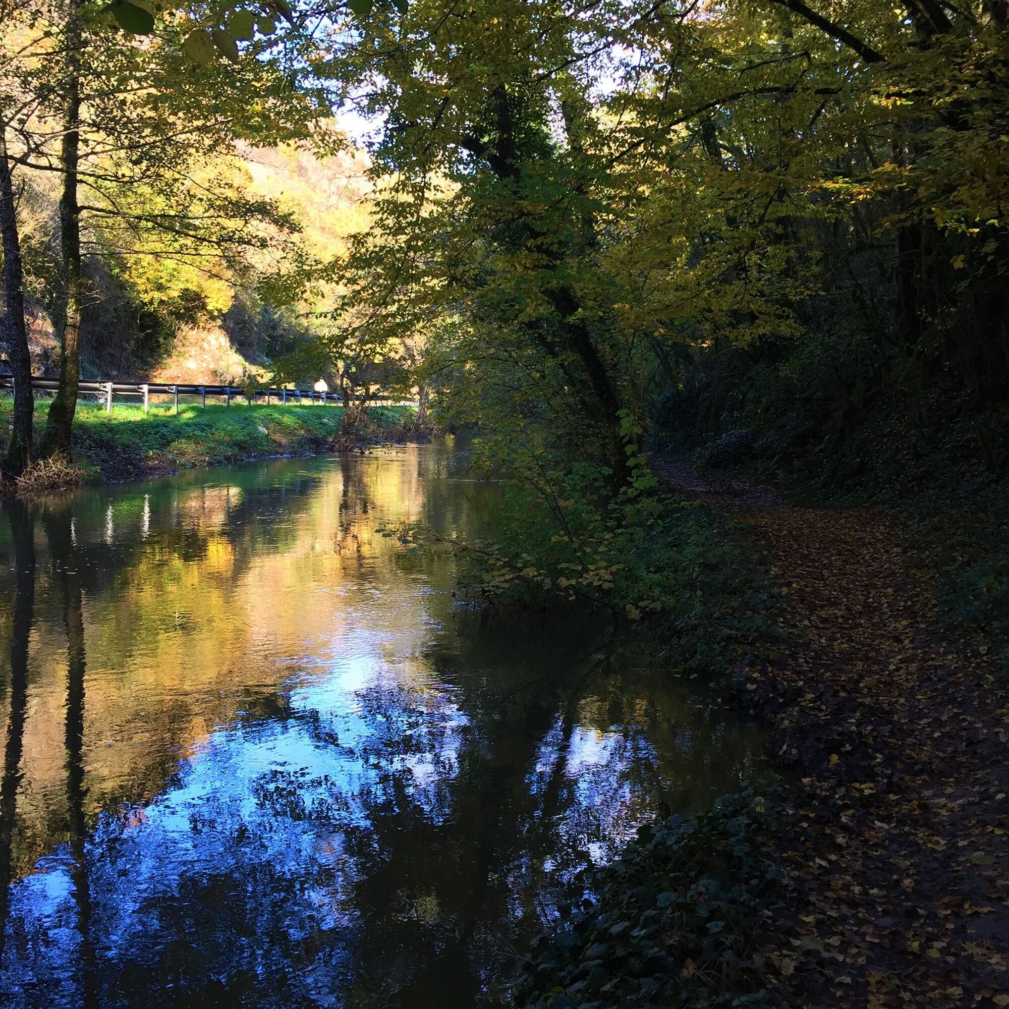
Trail along the water (Sentier de l'eau)
Nivelul de dificultate: T2


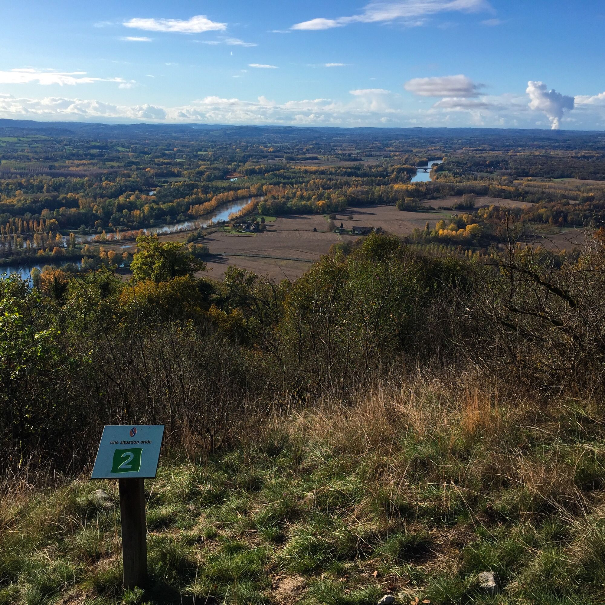
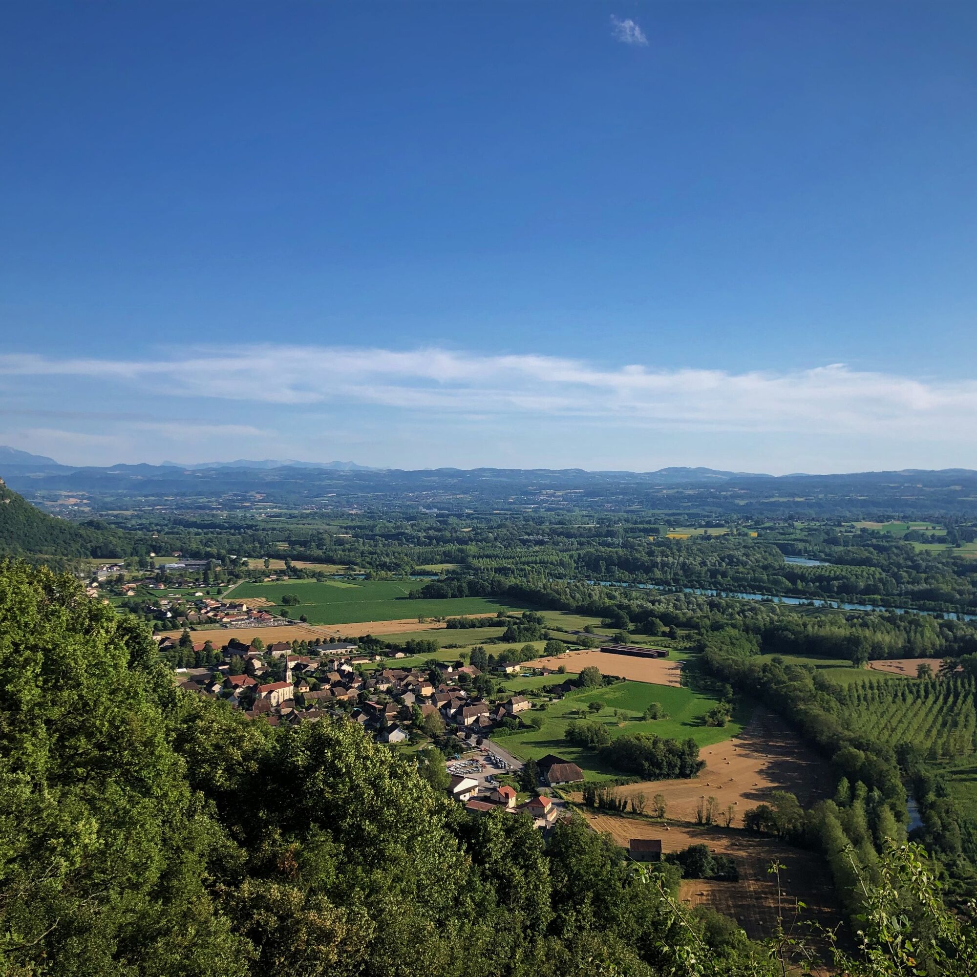
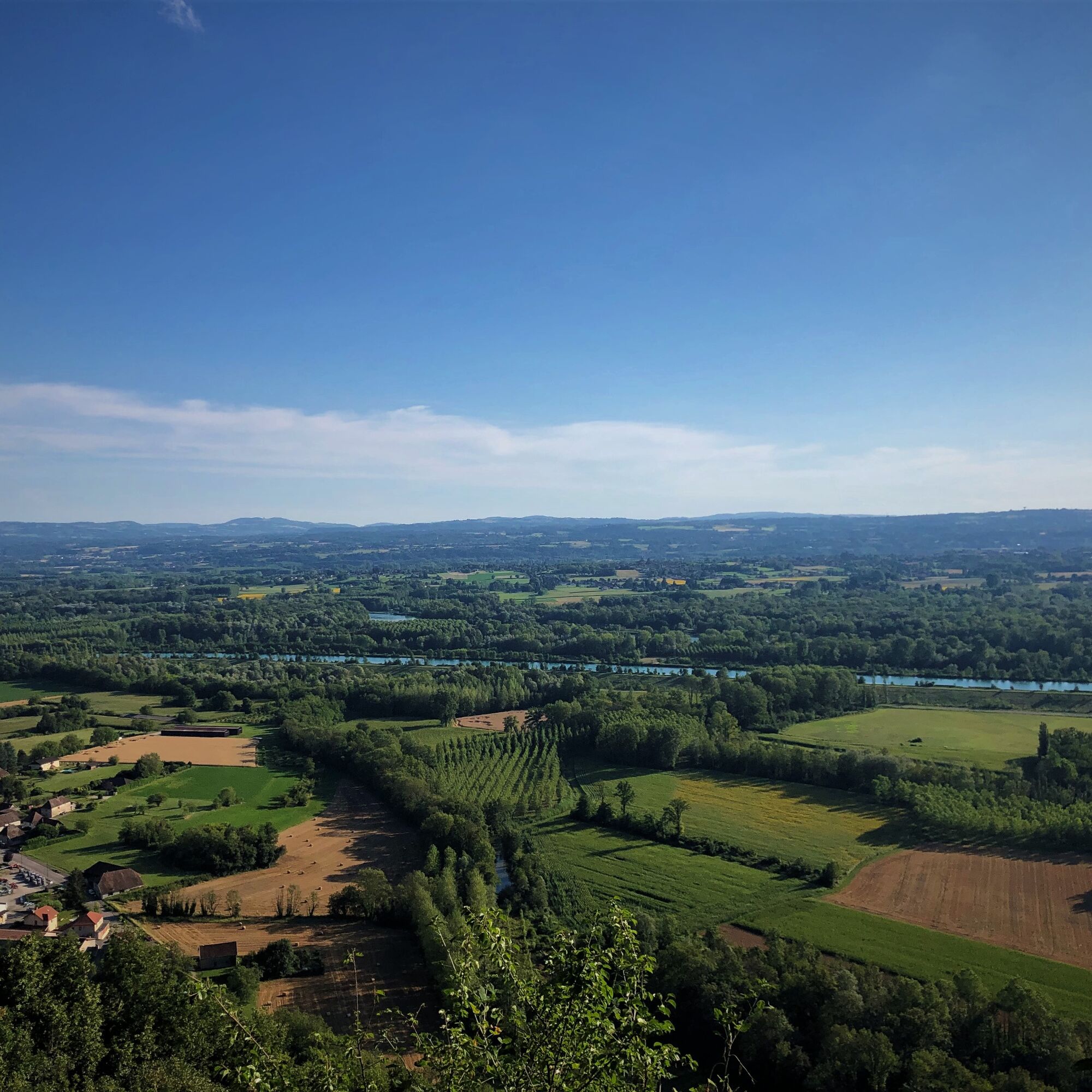
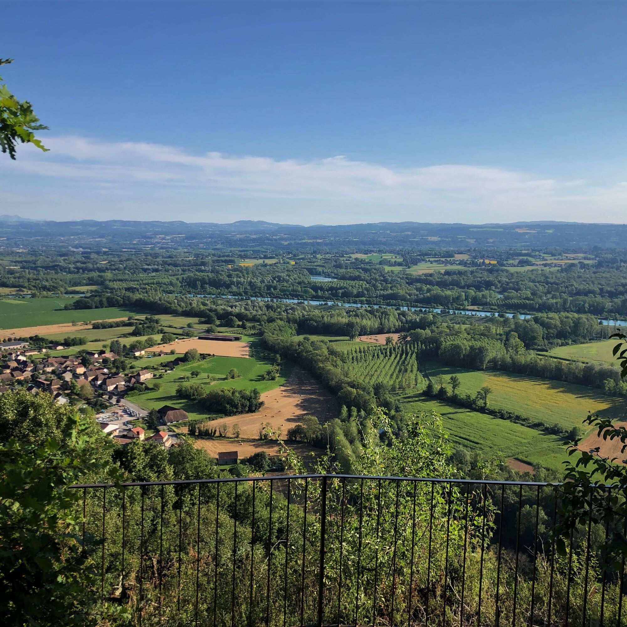
Water has shaped our natural environments over time. Rare in limestone mountain country, it infiltrates to reach the Rhône plain where its abundance fills us with benefits. The water trail plays with its...
Water has shaped our natural environments over time. Rare in limestone mountain country, it infiltrates to reach the Rhône plain where its abundance fills us with benefits. The water trail plays with its wayward path and also allows us to discover the imprints of human activity linked to water.
Please note that the descending part of the trail is eroded and requires footwear for walking.
This hike can be downloaded on the free app Ain Outdoor.


The route is detailed on a sheet for sale at the Tourist Office for 1 €. The route is also part of the guidebook "hiking routes in Bugey" from the Ain Departmental Hiking Committee, including 71 hikes to discover Bugey. Available at the Tourist Office for 14 €.
Da
Da
It is necessary to have good shoes.
The trail includes some steep parts both uphill and downhill; it is highly recommended to be well-shod.
Faulty signage, incidents / safety, conflicts of use, illegal dumping?: locate and share the problem via the national alert system using the SURICATE app or via the site https://sentinelles.sportsdenature.fr/
From Lyon, follow the A43 to exit 10 Chimilin / Aoste and continue on Belley Road D592.
From the north, follow D992 from Belley.
It is possible to reach Brenier-Cordon by bus with line 193 Belley - Morestel.
At Brégnier-Cordon: tennis parking, Chemin de Lelinaz
or
At Glandieu: Chemin de la Morte, waterfall parking lot from the D19.
T2
APIDAE Tourism data updated on 02/24/2023 by "Office de Tourisme Bugey Sud Grand Colombier".
An error on this sheet? Contact the owner by referencing:
Sheet name: Water Trail | Sheet ID: 169676 | URL of this Outdooractive page.
Tourist Office tips.
Hikers wishing to keep the Glandieu waterfall for the end of their hike and do the flat part first can start from the Glandieu waterfall parking lot located along the hiking route.
Swimming is forbidden in the waterfall, but allowed in the Glandieu pond.
Near the waterfall, in the small village of Glandieu, is the local producers' store Quand on sême (cheeses, cold meats, fruit juices, compotes, cider, beer, oils and vinegar, flours, coffee, herbal teas and teas, spices, honey, saffron, coulis, foie gras, and terrines...) and C nous qu'on l'a fait, a local artisan craft shop.
Also nearby the hike: the Maison d'Izieu, the Exo 3D water ski tow and the Auberge des 3D for dining.
This route is part of the "Ain Outdoor" selection.
Tururi populare în vecinătate
-
5,0
Hike : Tour du Mont de Cordon
luminăExcursie 7,16 km -
Hike starting from Parves-et-Nattages: le circuit du Sorbier
luminăExcursie 11,4 km -
Hike : Armaille Lake
luminăExcursie 9,42 km -
MTB track 1 green - Rothonne forest: Le Renard - Espace FFC Ain Forestière
luminăMountainbike 4,93 km -
5-MTB trail - Lac d'Armaille - Espace FFC Ain Forestière
greleMountainbike 26,7 km -
Hike : La croix Saint Clair
luminăExcursie 5,05 km -
6-red MTB trail - Les Enfants du Marais - Espace FFC Ain Forestière
greleMountainbike 41,4 km -
MTB track 2 blue - Rothonne forest: Le Cerf - Espace FFC Ain Forestière
luminăMountainbike 8,94 km -
E-mountainbike loop 6 - Les Enfants du Marais - Espace FFC Ain Forestière
luminăMountainbike 41,5 km -
Hike: Innimond cross
greleExcursie 12,8 km
Drumeții și urmărire


Nu ratați ofertele și inspirația pentru următoarea dvs. vacanță
Adresa dvs. de e-mail a fost adăugat la lista de corespondență.