


Hike of the Grand Colombier starting from Munet
Nivelul de dificultate: T2


Starting point: go to Assin, hamlet of Virieu le Petit and follow the indications that will lead you to a road that can be driven on. After 600 m, you will find a small car park in the woods.
Download this...
Starting point: go to Assin, hamlet of Virieu le Petit and follow the indications that will lead you to a road that can be driven on. After 600 m, you will find a small car park in the woods.
Download this hike on the free app Ain Outdoor.


Detailed route in the hiking guide "Randonnées pédestres en Bugey" from the Ain Departmental Hiking Committee including 71 hikes to discover Bugey. For sale at the Tourist Office for 14 €
Da
Da
Da
It is necessary to be equipped with good shoes and to carry enough water with you.
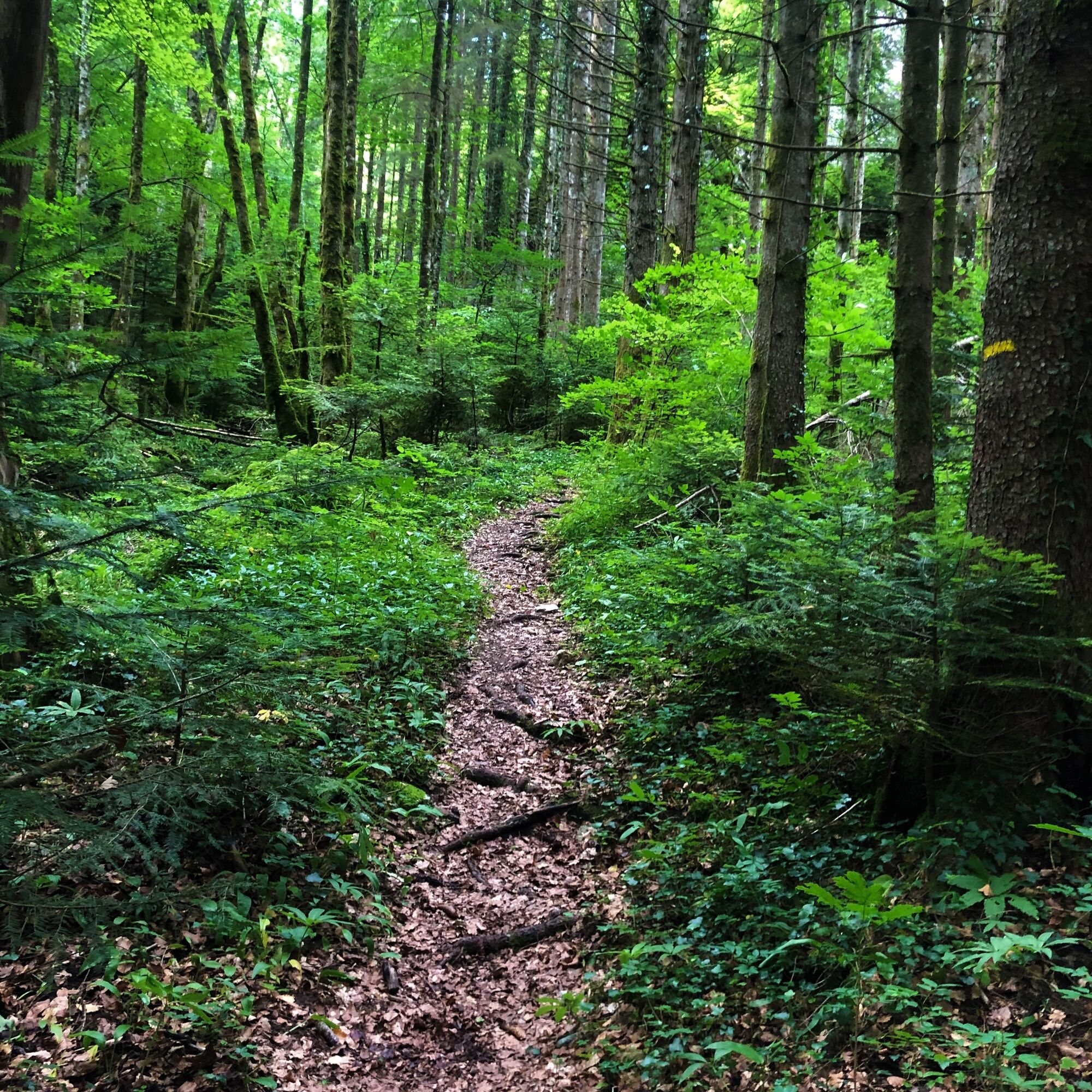
This hike does not have difficult parts.
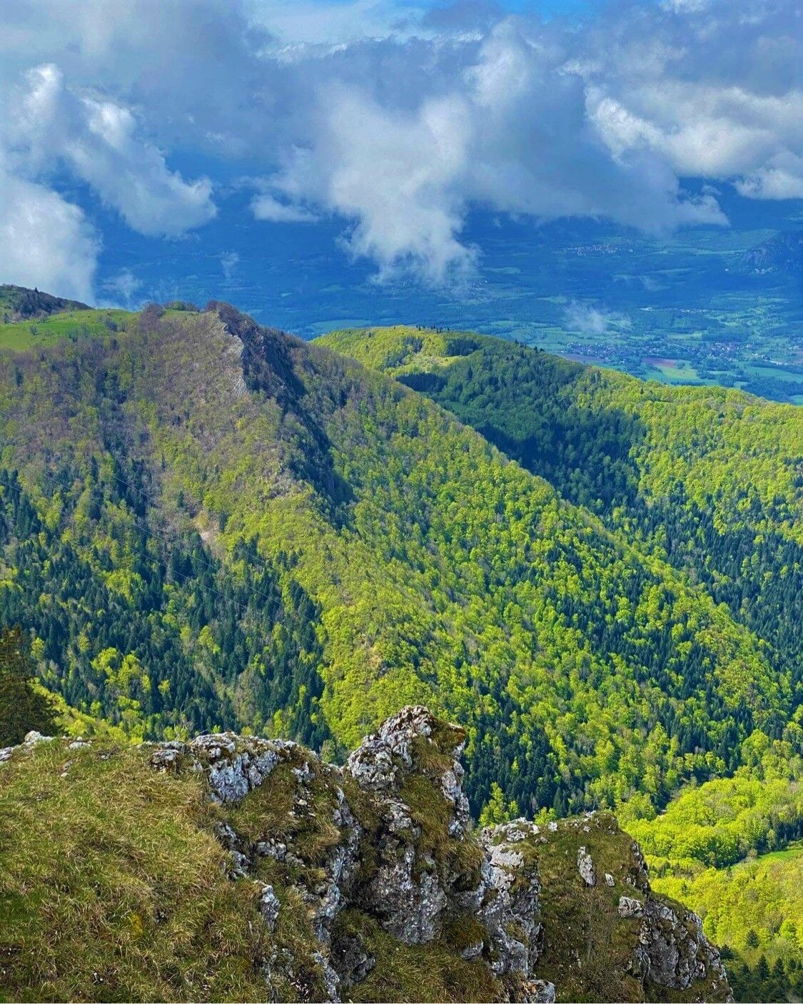
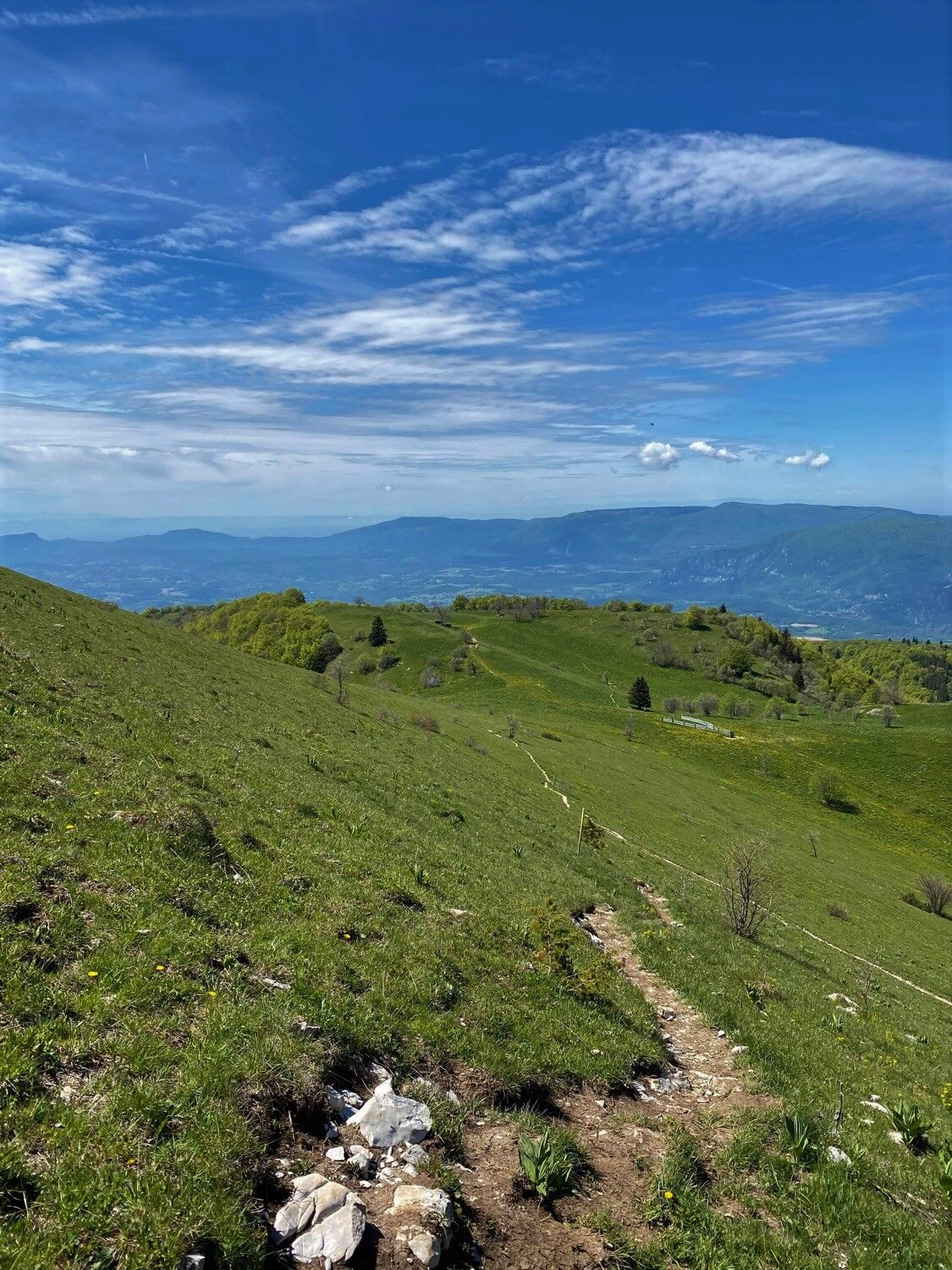
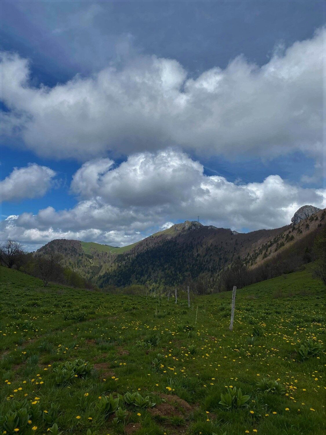
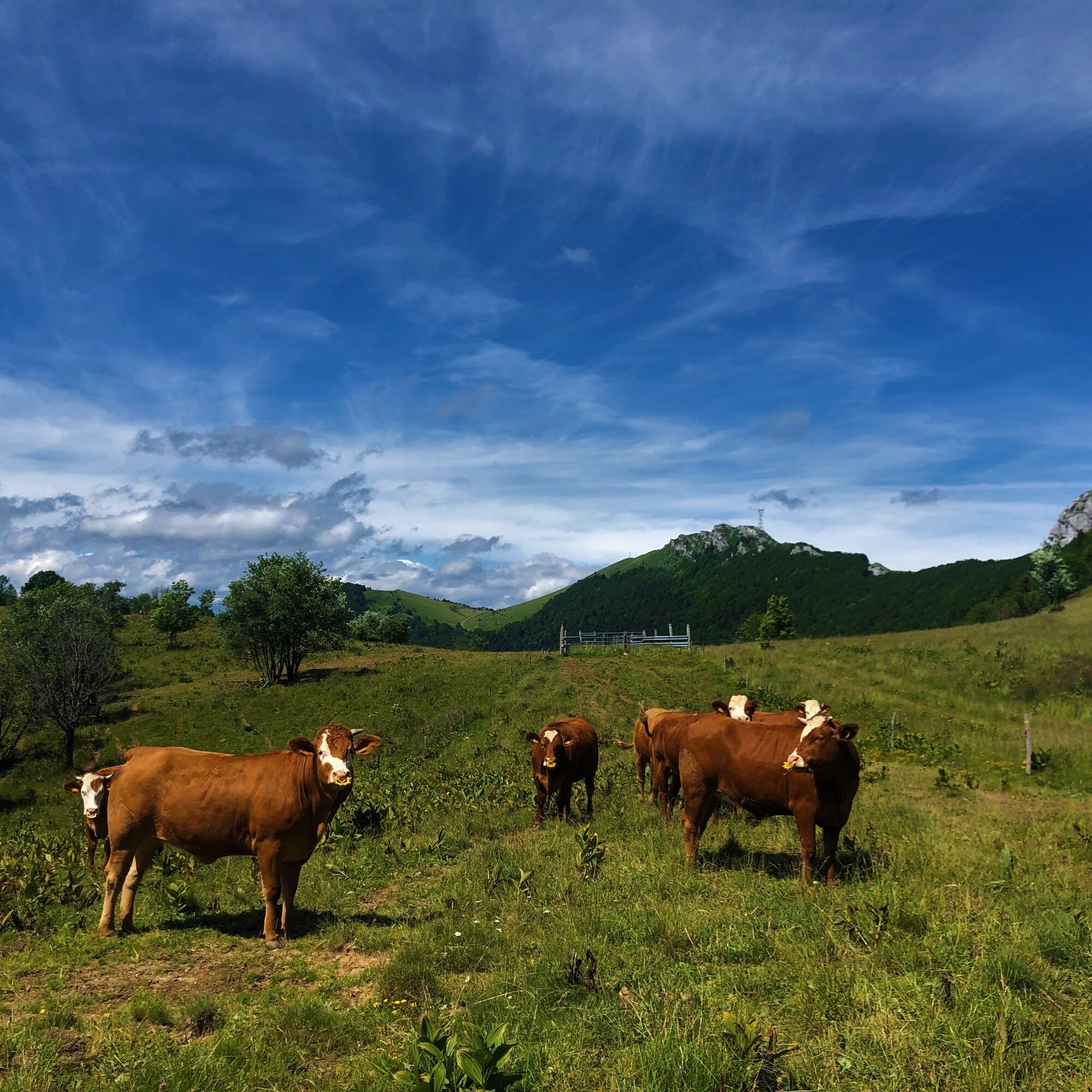
However, the route crosses the Grand Colombier summer pastures, great caution is recommended when you encounter a herd. We thank you for keeping your dogs on a leash and always closing the enclosures behind you. The route follows the ridge and has some steep parts, it is possible to follow the road from the pass to the Grand Colombier Inn to avoid the ridge.
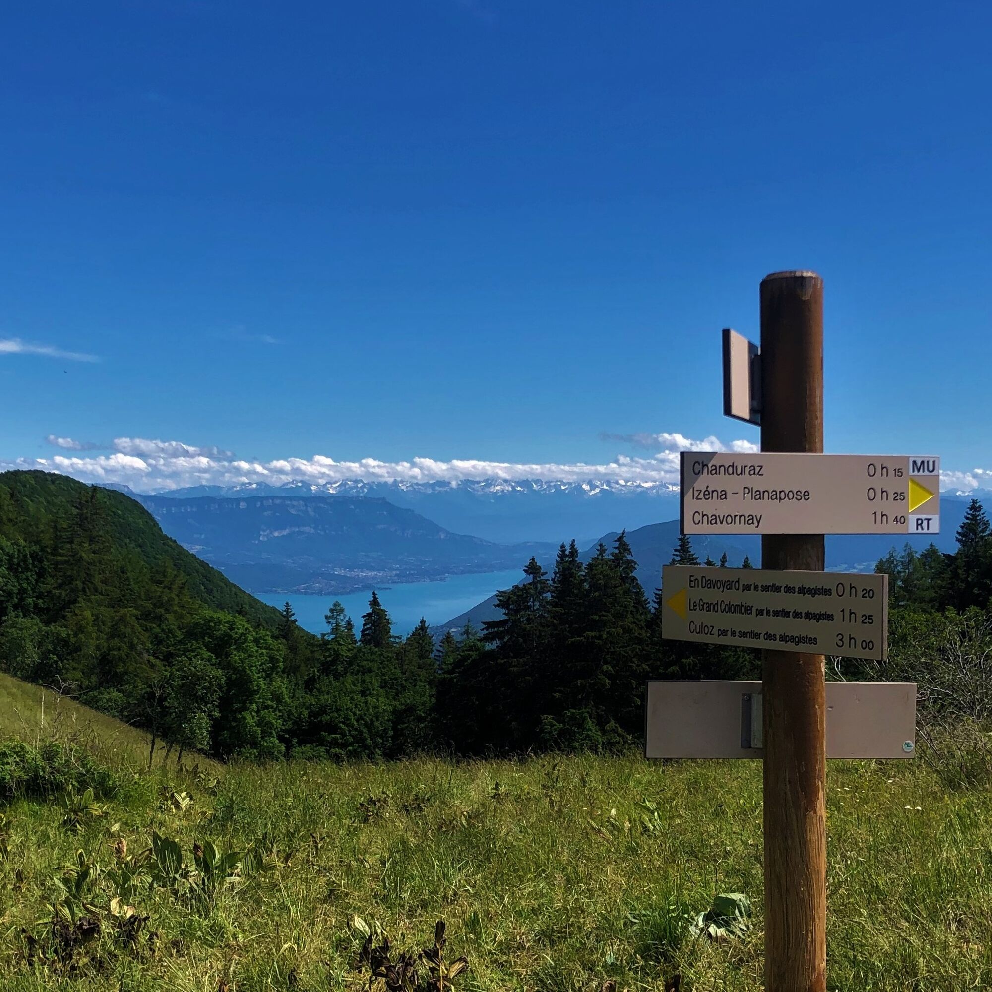
It is not possible to reach the southern end of the Chanduraz rock.
Defective markings, incidents / security, usage conflicts, illegal dumping? : locate and share the problem encountered on the national alert system via the SURICATE app or on the website https://sentinelles.sportsdenature.fr/
Reach Munet by taking the D69 above Artemare.
Munet is not accessible by public transport
Starting point: go to Assin, hamlet of Virieu le Petit, and follow the signs that will lead you to a drivable path. After 600 m, you will find a small parking area in the woods.
T2
APIDAE Tourism data updated on 10/24/2022 by "Office de Tourisme Bugey Sud Grand Colombier".
An error on this sheet? Write to the owner mentioning these references:
Sheet name: Grand Colombier hike from Munet | Sheet ID: 167093 | URL (link) of this Outdooractive page.
Tourist Office's tips.
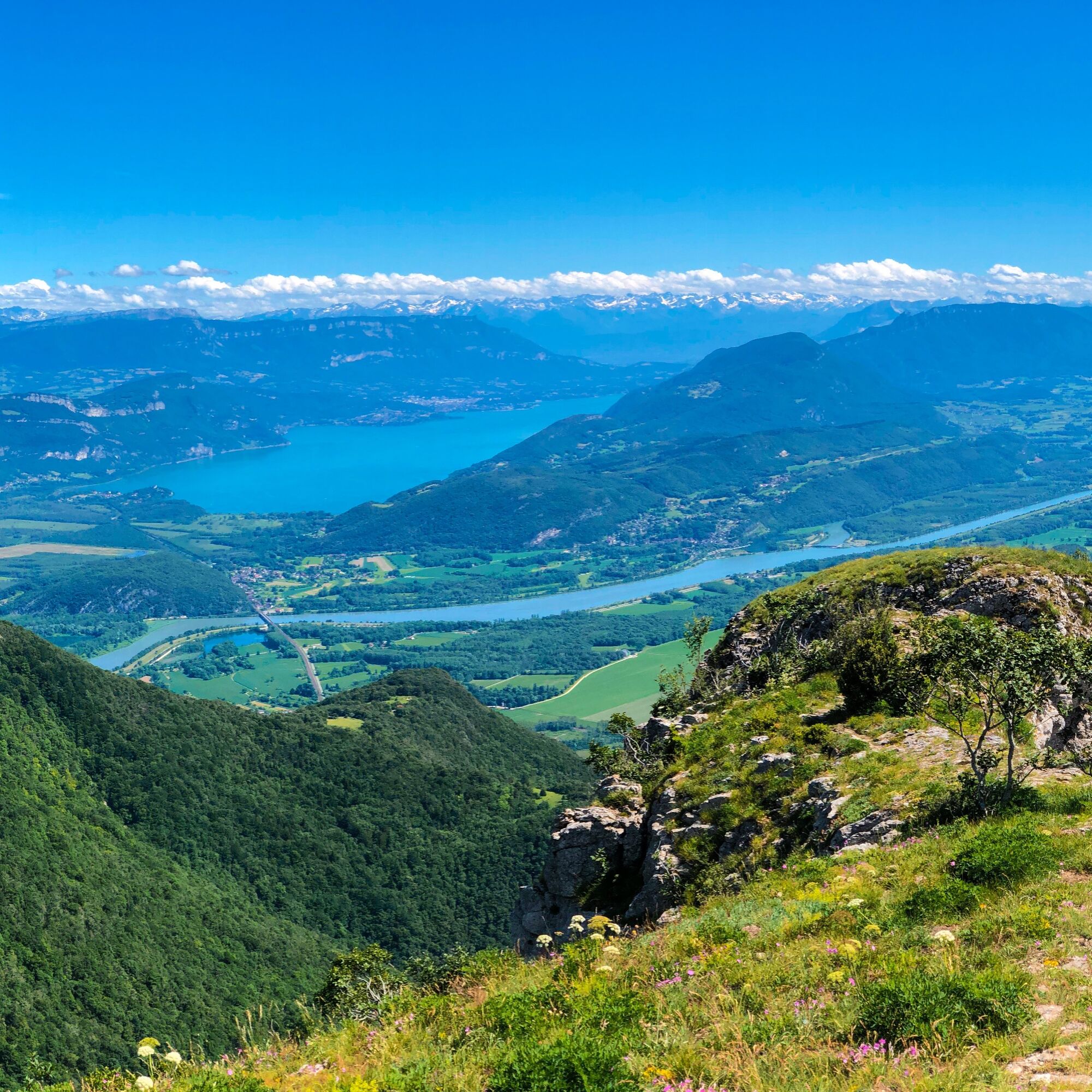
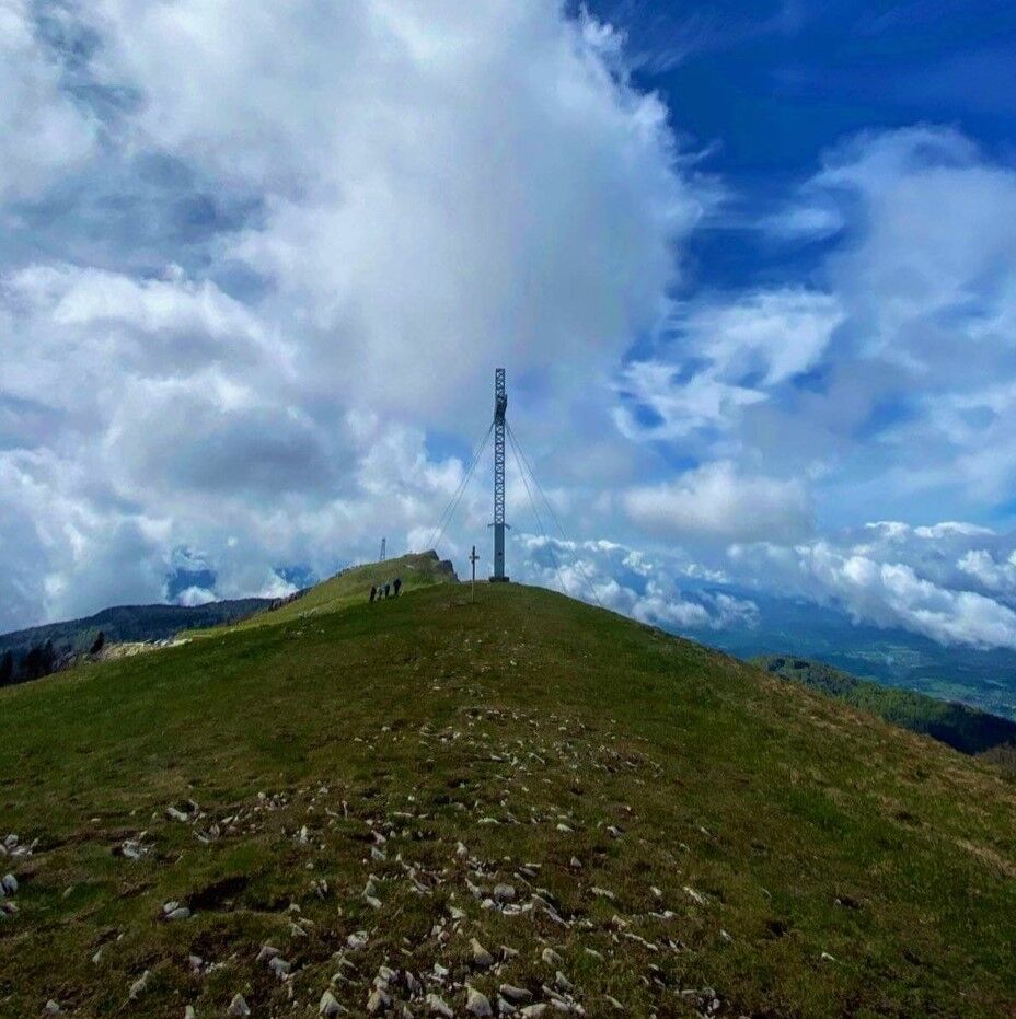
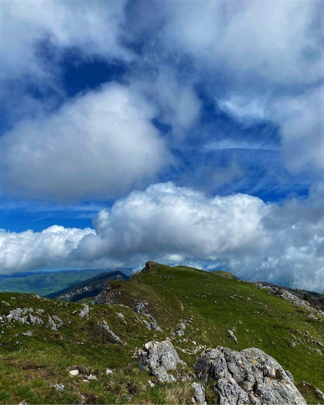
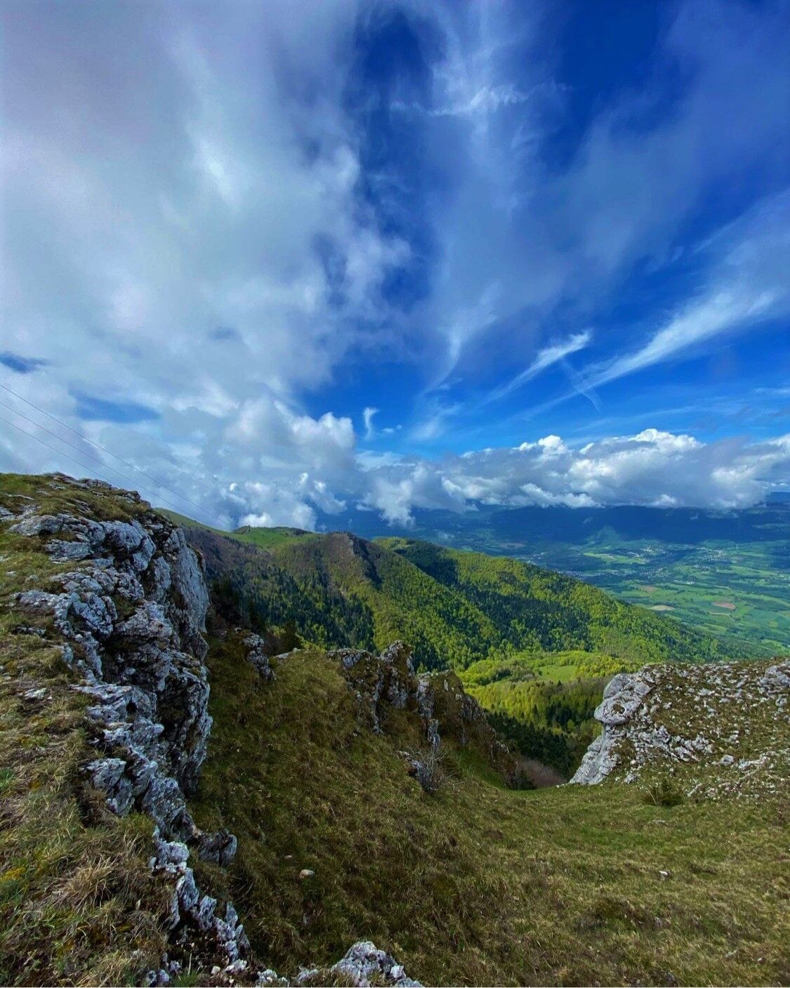
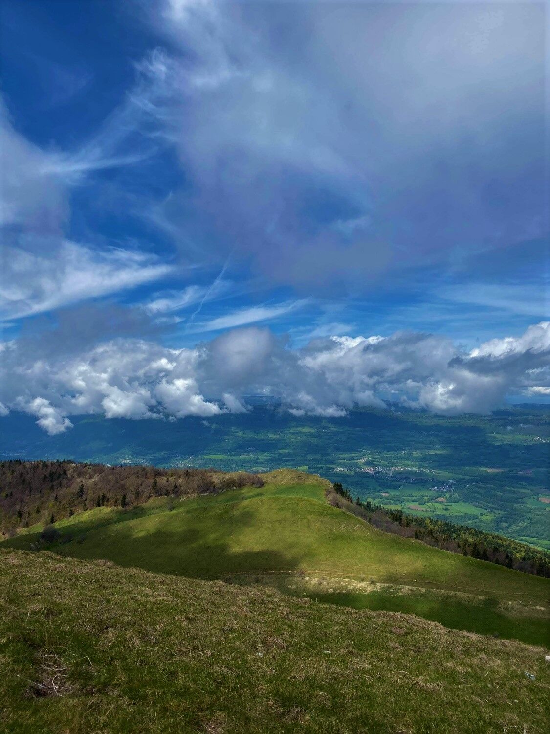
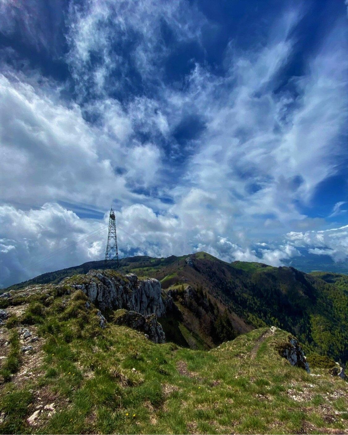
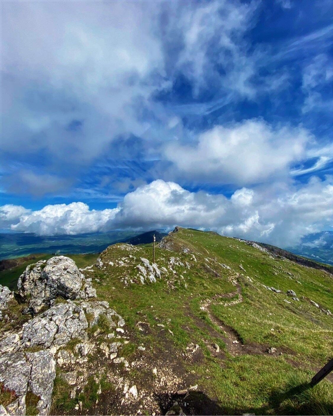
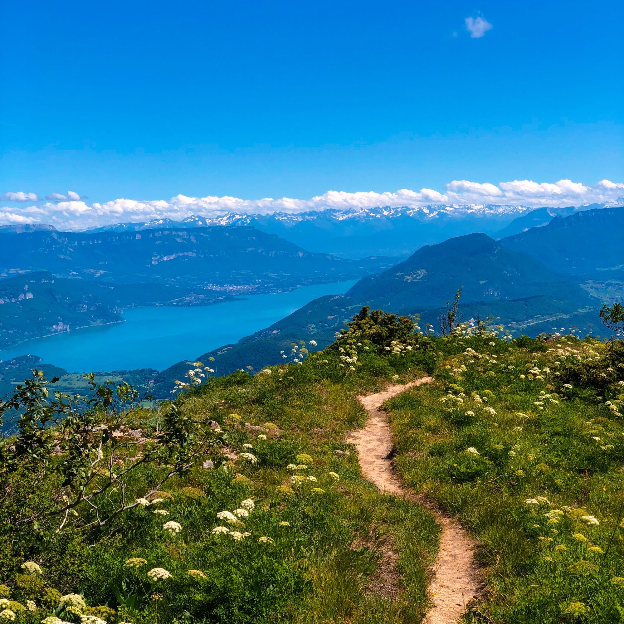
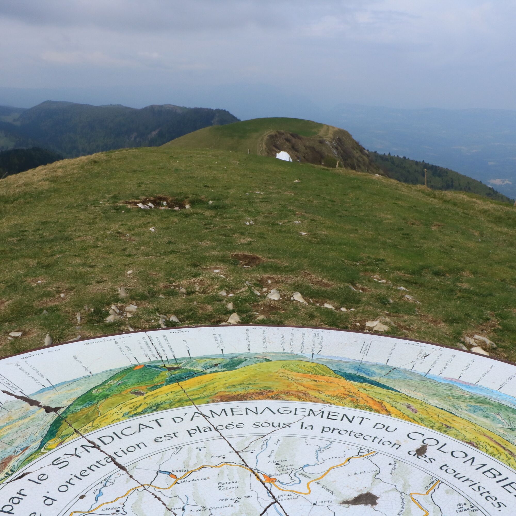
This very sporty hike is particularly enjoyable on sunny days, the 360-degree panoramas from the cross and the summit of the Grand Colombier at first, then the view from the Chanduraz rock are magnificent.
The access to the start is via a drivable path on its last part, the path is a few hundred meters long.
A must for cheese and Comté lovers, discover the Valromette, the raclette made in Valromey at the Valromey Fruitière located in Virieu-le-Petit.
This route is part of the "Ain Outdoor" selection.
Tururi populare în vecinătate
-
1,0
Hike of the Clairefontaine waterfall
luminăExcursie 5,46 km -
Hike: Gorges de Thurignin
greleExcursie 14,2 km -
Cycling tour : Marshes and vineyards in Bugey
luminăBicicletă de șosea 33,1 km -
3,0
Hike: on the ridge of the Grand Colombier (circuit des crêtes)
mediuExcursie 11,3 km -
Hike: A wolf life.
luminăExcursie 7,22 km -
3 day-hike in Jura: hiking trails through Plateau de Retord and Grand Colombier
greleExcursie 50,9 km -
Hike : Lake and vineyards
luminăExcursie 9,76 km -
Hike in Bugey: Chanduraz from Béon
greleExcursie 12,6 km -
Running trail: Chanduraz from Chavornay
greleTrailrunning 12,1 km -
Hike: on the steps of the WW2 French resistance.
greleExcursie 18,3 km

Drumeții și urmărire


Nu ratați ofertele și inspirația pentru următoarea dvs. vacanță
Adresa dvs. de e-mail a fost adăugat la lista de corespondență.