


16 black MTB trail - From Plans d'Hotonnes to Grand Colombier - Espace FFC Ain Forestière
Nivelul de dificultate: S1


Follow the black signs number 16
From the Plans d'Hotonnes station to the Fenestrez viewpoint at the southern end of the Jura Massif and the Grand Colombier, this difficult route reserved for experienced...
Follow the black signs number 16
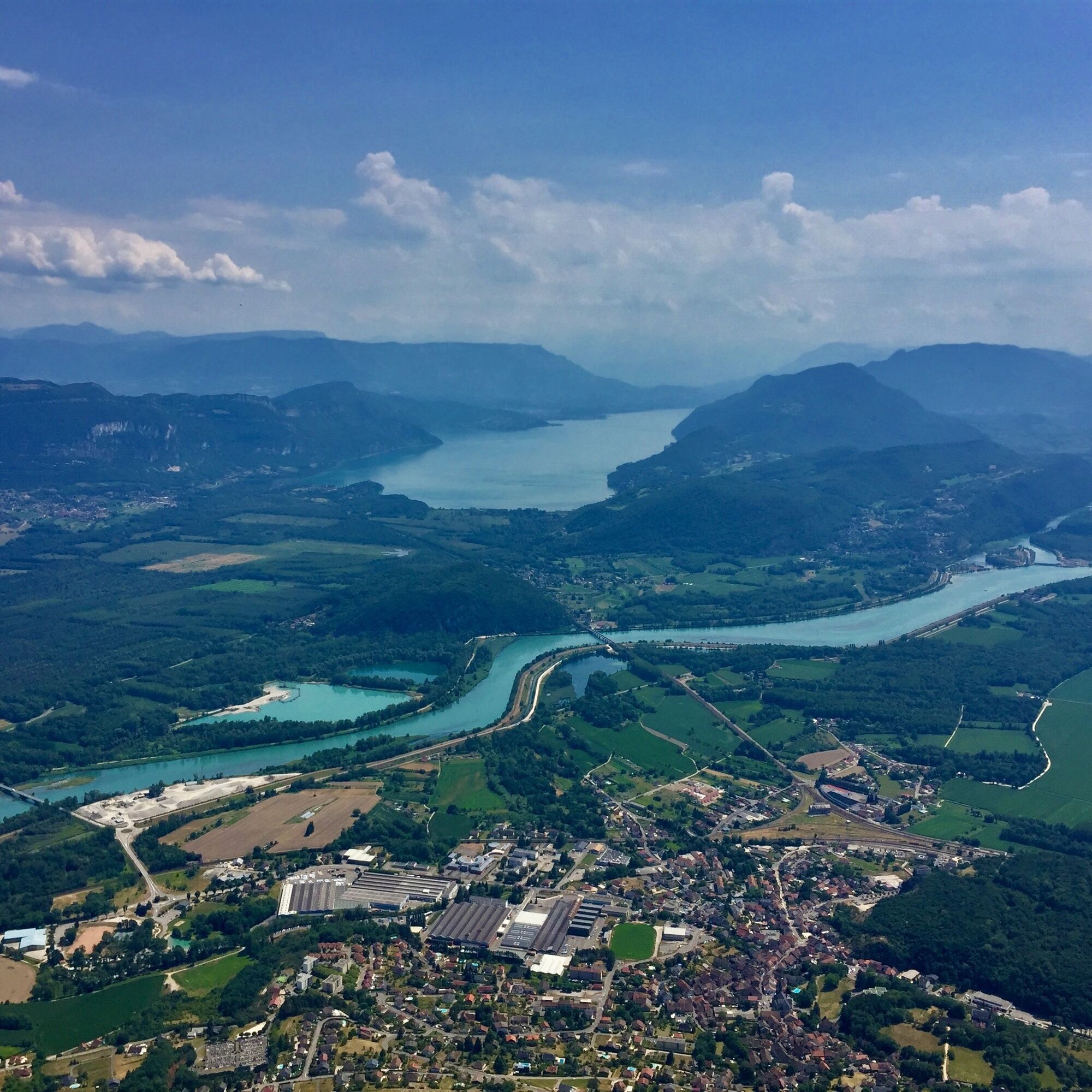
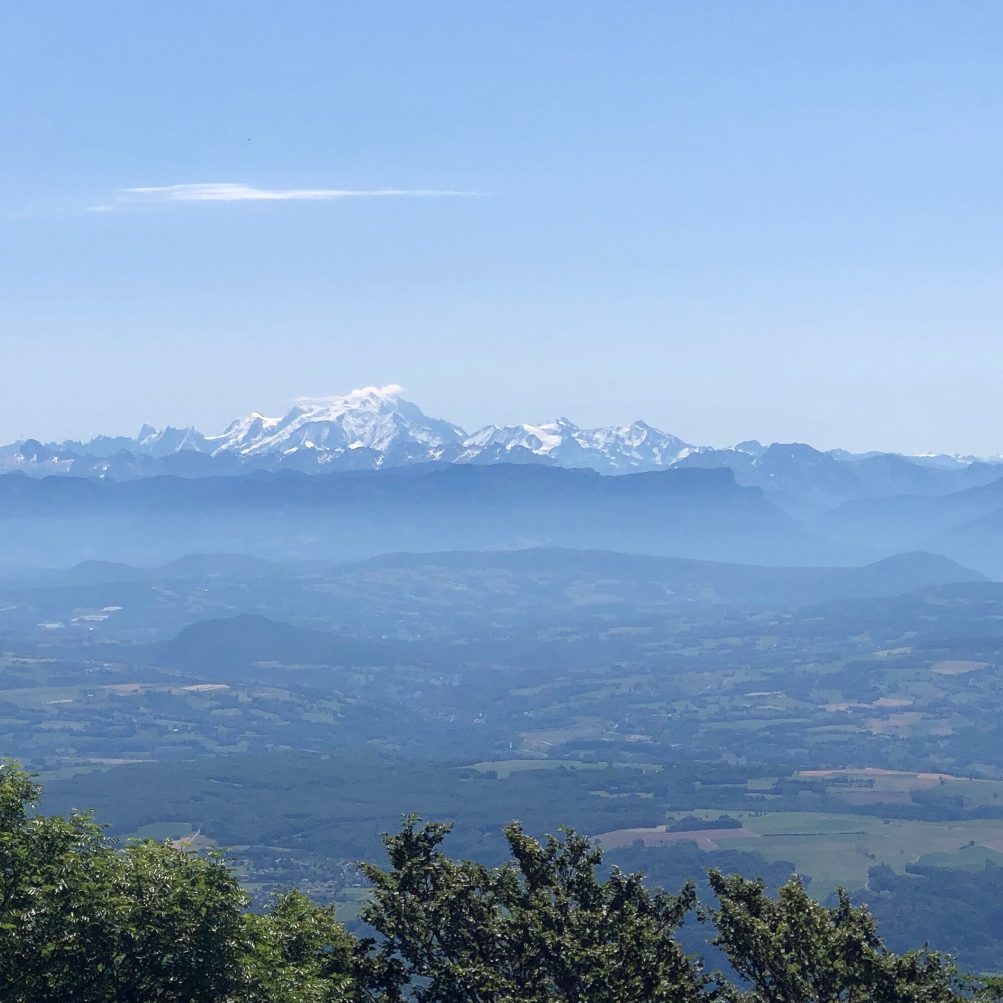
From the Plans d'Hotonnes station to the Fenestrez viewpoint at the southern end of the Jura Massif and the Grand Colombier, this difficult route reserved for experienced mountain bikers offers numerous panoramas of the Alps and Mont Blanc .
This day ride joining the Grand Colombier, a legendary pass well known to cyclists, partly follows one of the Grandes Traversées du Jura, passing near the Richemont passes between the Plateau de Retord and the crests of the Massif du Grand Colombier.
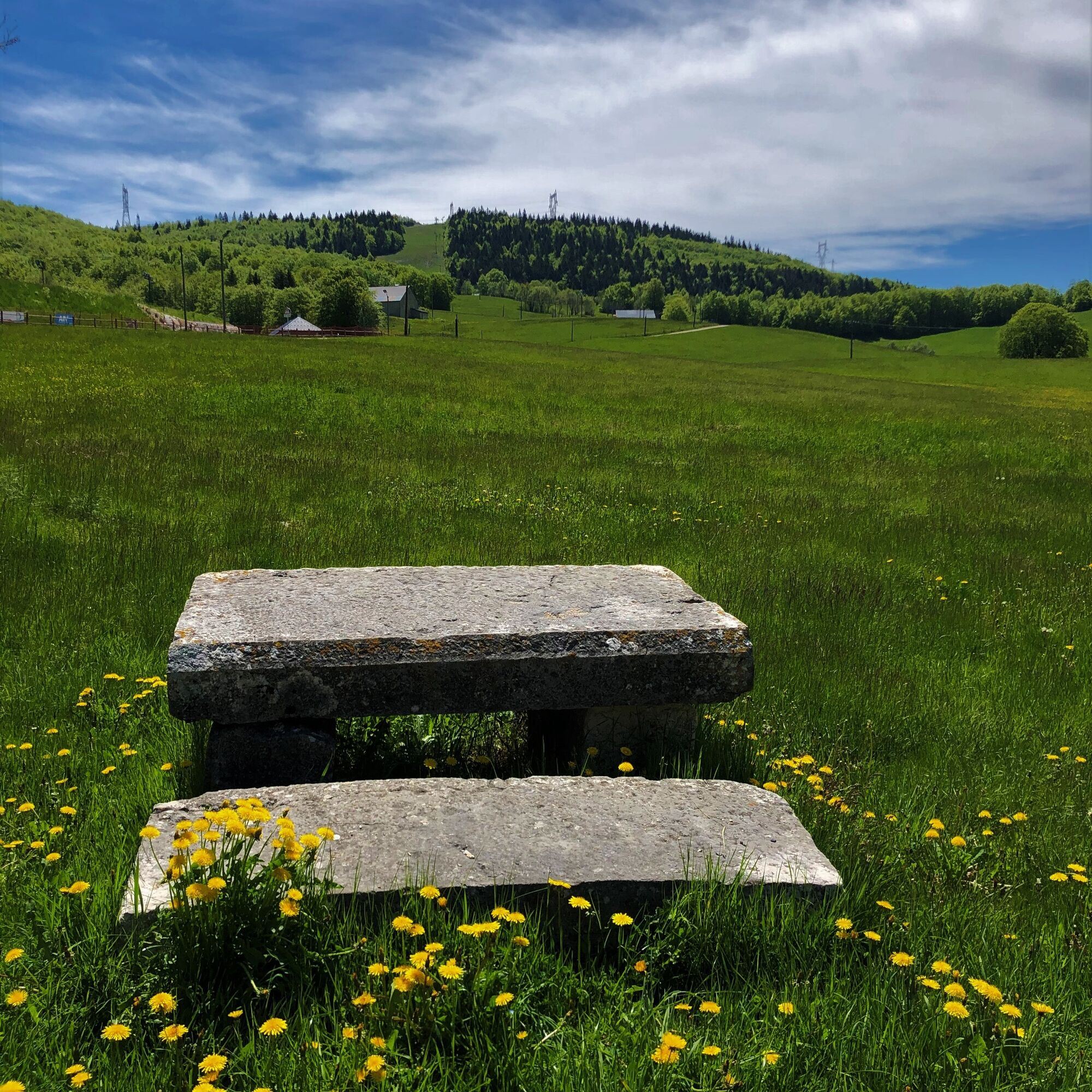
Ski resort in winter, les Plans d'Hotonnes is also famous for its slopes, cross country and snowshoe tracks and the international biathlon centre where you can try your luck on the shooting range at any time of the year.
You do not own a bike? Rent your mountain bike, e-bike, at the local rental shop Sports 360 located at the starting point.

Follow the black 16 markers from Plans d'Hotonnes.
Da
Da
It is strongly recommended to have a water bottle, a helmet, a mobile phone, and a repair kit.
This route has no tricky parts.
However, the circuit crosses the alpine pastures of the Retord Plateau; great caution is recommended when you encounter a herd, as many herds are accompanied by guard dogs. In this case, you are strongly advised not to cross the herd but to go around it. Please keep your dogs on a leash and always close the enclosures behind you. Consult the interactive Ma Patou map and learn the behavior to adopt: https://www.pasto-kezako.fr/ou-sont-les-chiens-de-protection-2/
Defective signage, incidents / safety, conflicts of use, illegal dumping? Locate and share the problem encountered on the national alert system via the SURICATE app or through the site https://sentinelles.sportsdenature.fr/
From Lyon, take the A42 then the A40 towards Geneva until the Saint Martin du Fresne exit where the Plans d'Hotonnes station is indicated.
From Mâcon, take the A40 towards Geneva until the Saint Martin du Fresne exit where the Plans d'Hotonnes station is indicated.
The Plans d'Hotonnes station is not accessible by public transport.
It is possible to park in the main parking lot of the Plans d'Hotonnes station opposite the Maison des Plans.
S1
The Office of Tourism's good plans.
Electric mountain bike and mountain bike rental possible at the start of the loops at the Sports 360 shop, reservation recommended. (Rentals, sales, and repairs).
After the effort, enjoy the Ain's temps loisirs store in the heart of the resort which offers refreshments, light meals, an eco-friendly souvenir shop, and a wellness area composed of Norwegian baths and a sauna.
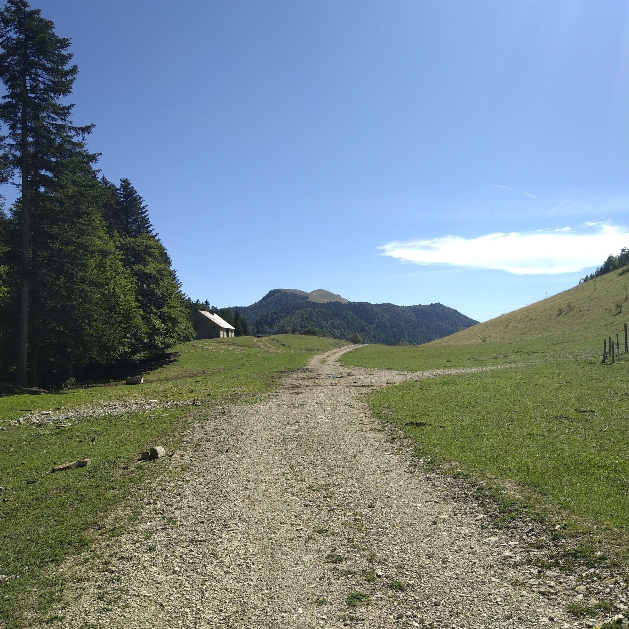
This loop allows you to discover the southern part of the Retord Plateau located between the Plans d'Hotonnes Station, Hotonnes, and the Richemond pass.
This route is part of the "Ain Outdoor" selection.
Tururi populare în vecinătate
-
1,0
Hike of the Clairefontaine waterfall
luminăExcursie 5,46 km -
Hike: Gorges de Thurignin
greleExcursie 14,2 km -
Hike of the Grand Colombier starting from Munet
greleExcursie 16,0 km -
3,0
Hike: on the ridge of the Grand Colombier (circuit des crêtes)
mediuExcursie 11,3 km -
Hike: A wolf life.
luminăExcursie 7,22 km -
Hike: Tour de Retord
greleExcursie 18,6 km -
3 day-hike in Jura: hiking trails through Plateau de Retord and Grand Colombier
greleExcursie 50,9 km -
MTB track 14 red - Retord - les balcons du Mont Blanc - Espace FFC Ain Forestière
greleMountainbike 29,5 km -
Hike in Bugey: Chanduraz from Béon
greleExcursie 12,6 km -
Running trail: Chanduraz from Chavornay
greleTrailrunning 12,1 km
Drumeții și urmărire


Nu ratați ofertele și inspirația pentru următoarea dvs. vacanță
Adresa dvs. de e-mail a fost adăugat la lista de corespondență.