© Andrea Borowski

© StädteRegion Aachen - Dominik Ketz

© Andrea Borowski

© StädteRegion Aachen - Dominik Ketz

© Andrea Borowski

© Andrea Borowski

© Andrea Borowski

© Andrea Borowski

© StädteRegion Aachen - Dominik Ketz

© StädteRegion Aachen - Dominik Ketz


- Scurtă descriere
-
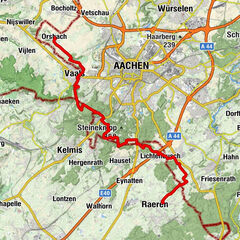
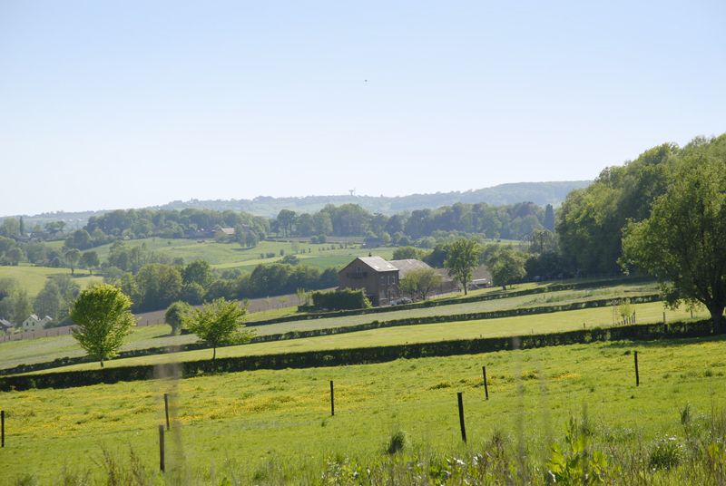
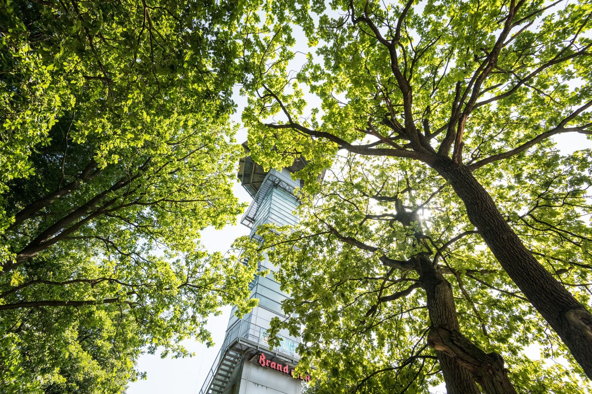
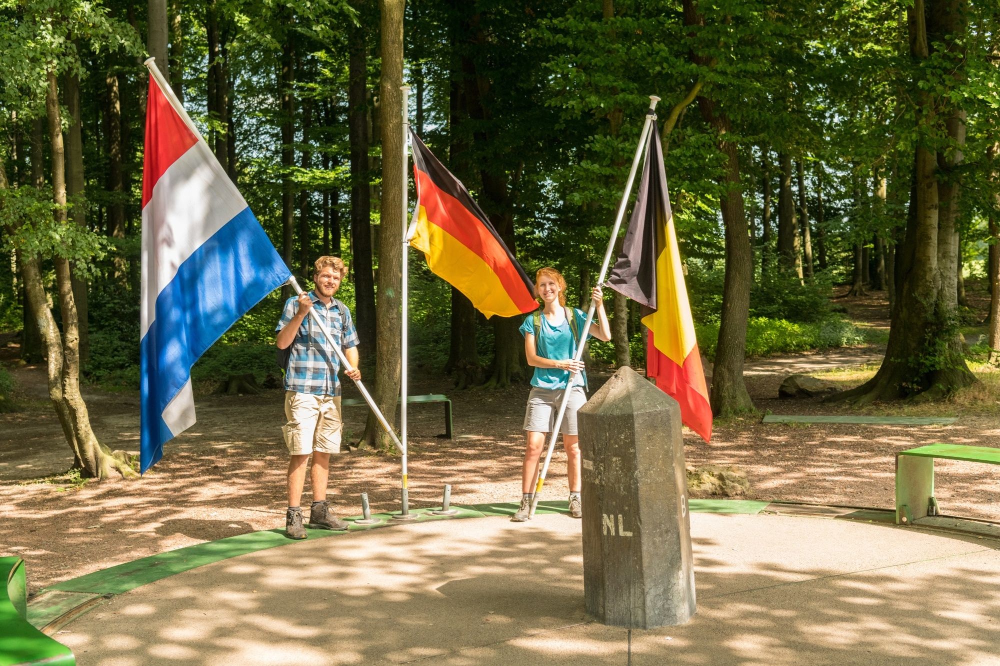
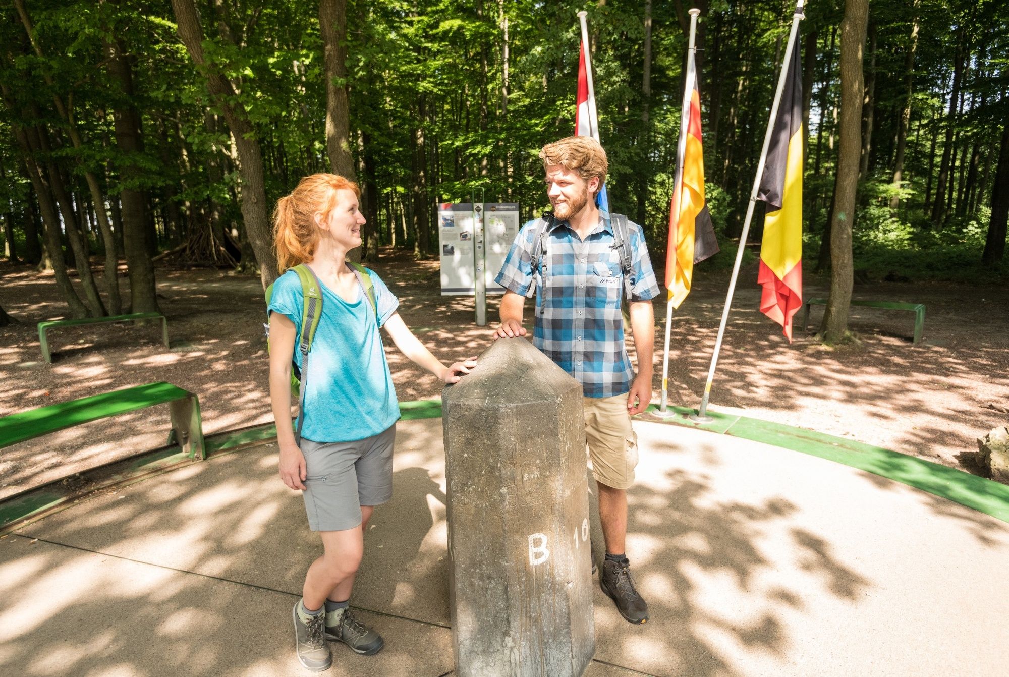
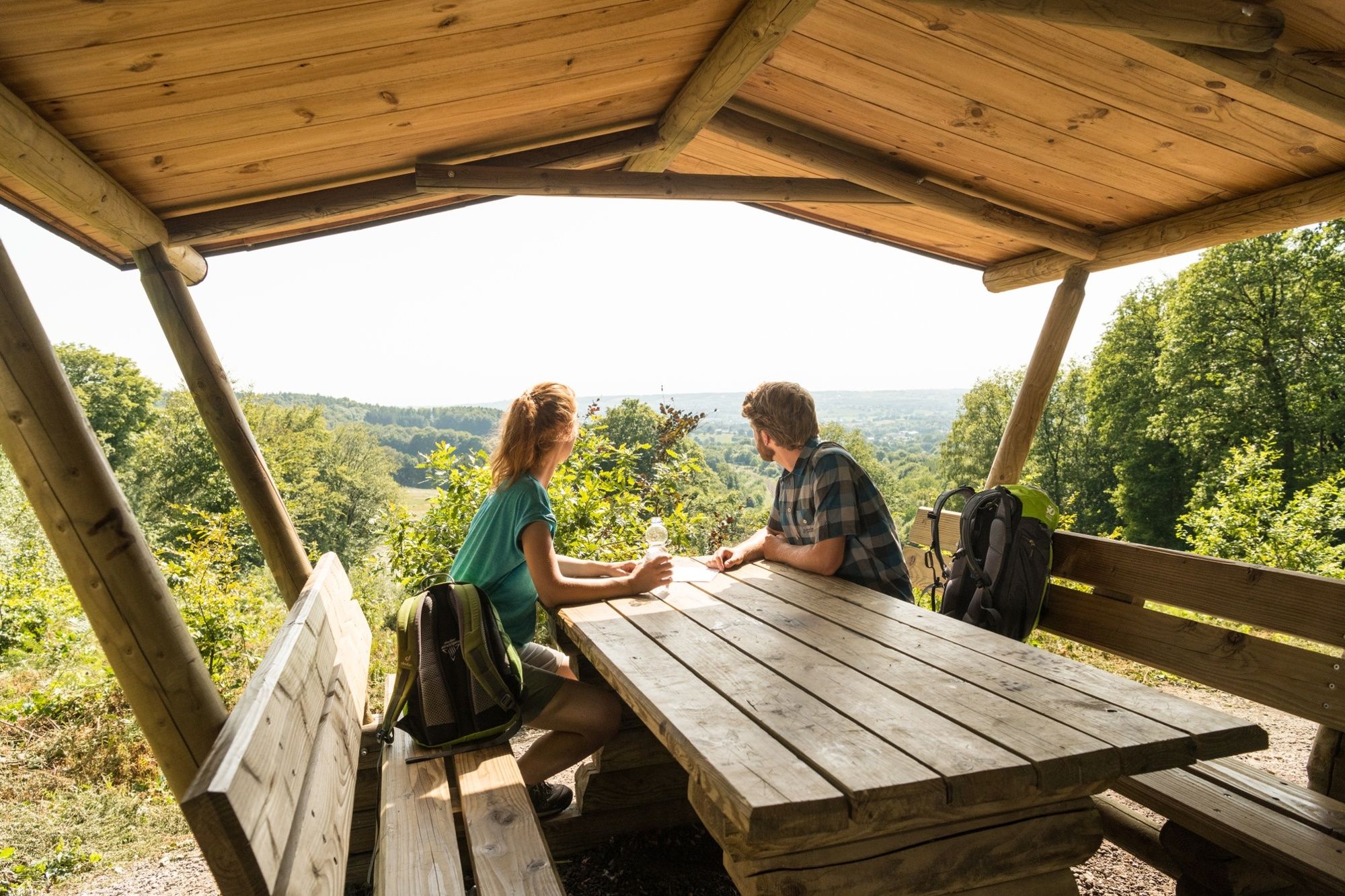
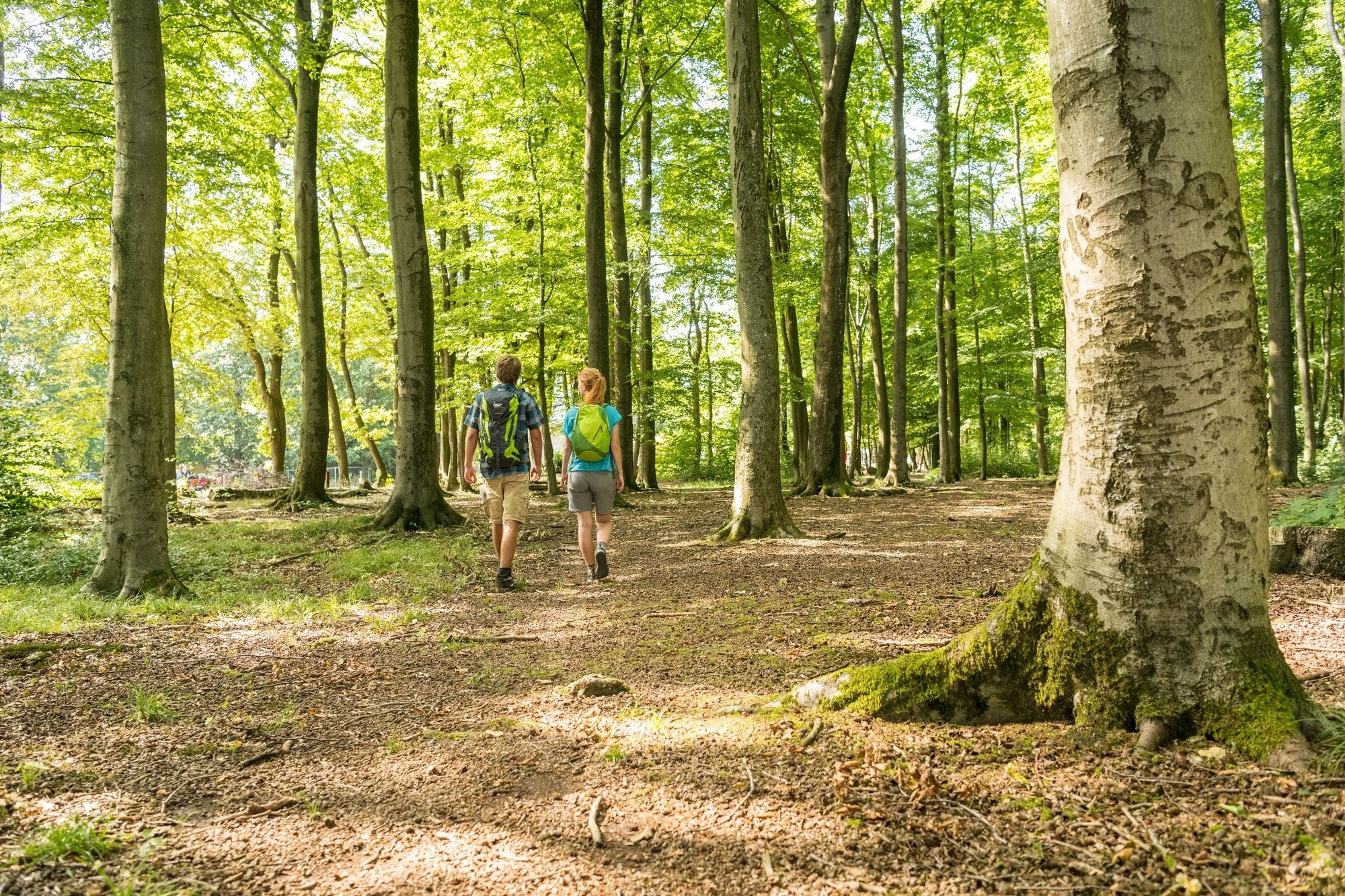
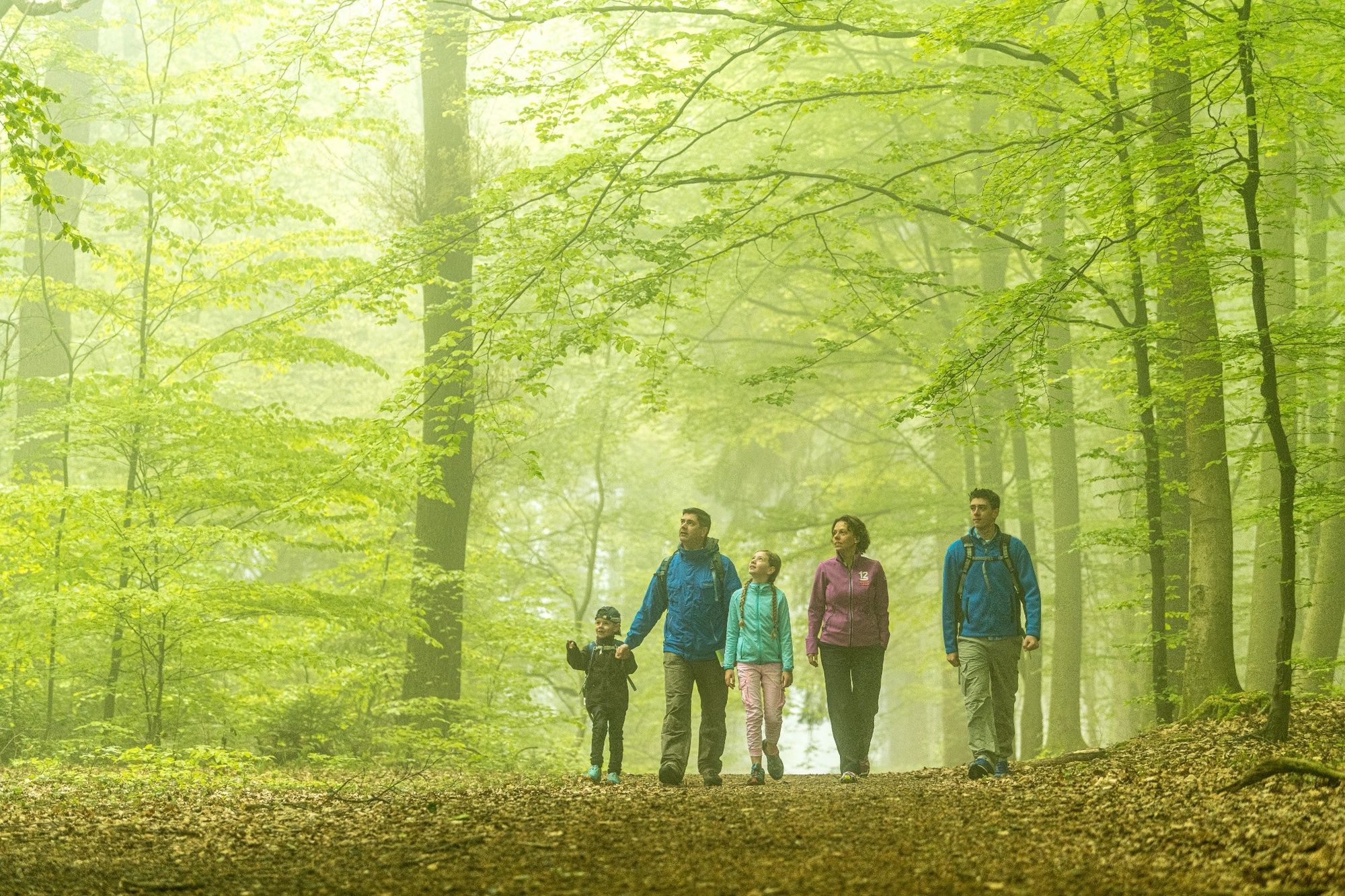
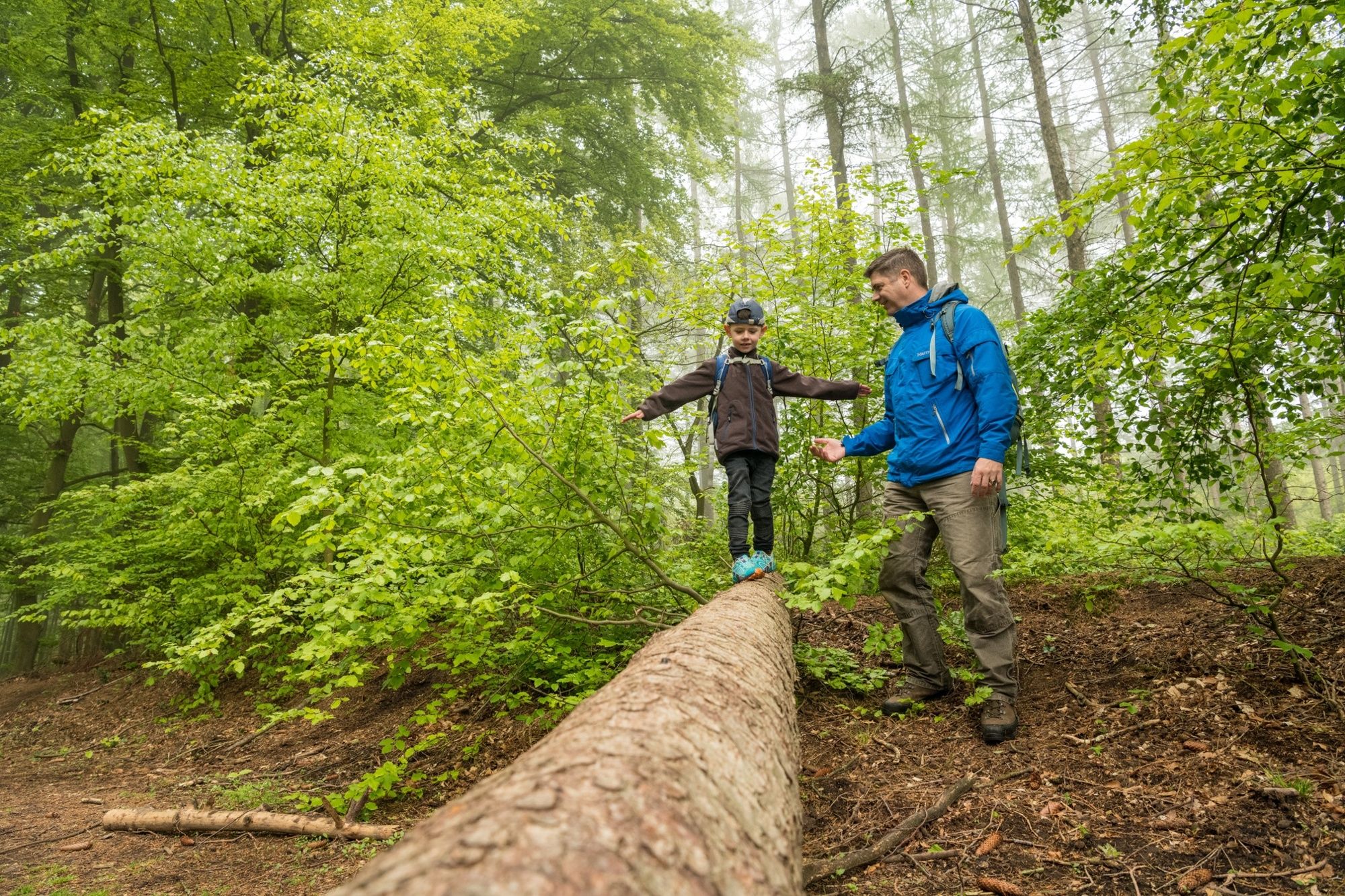
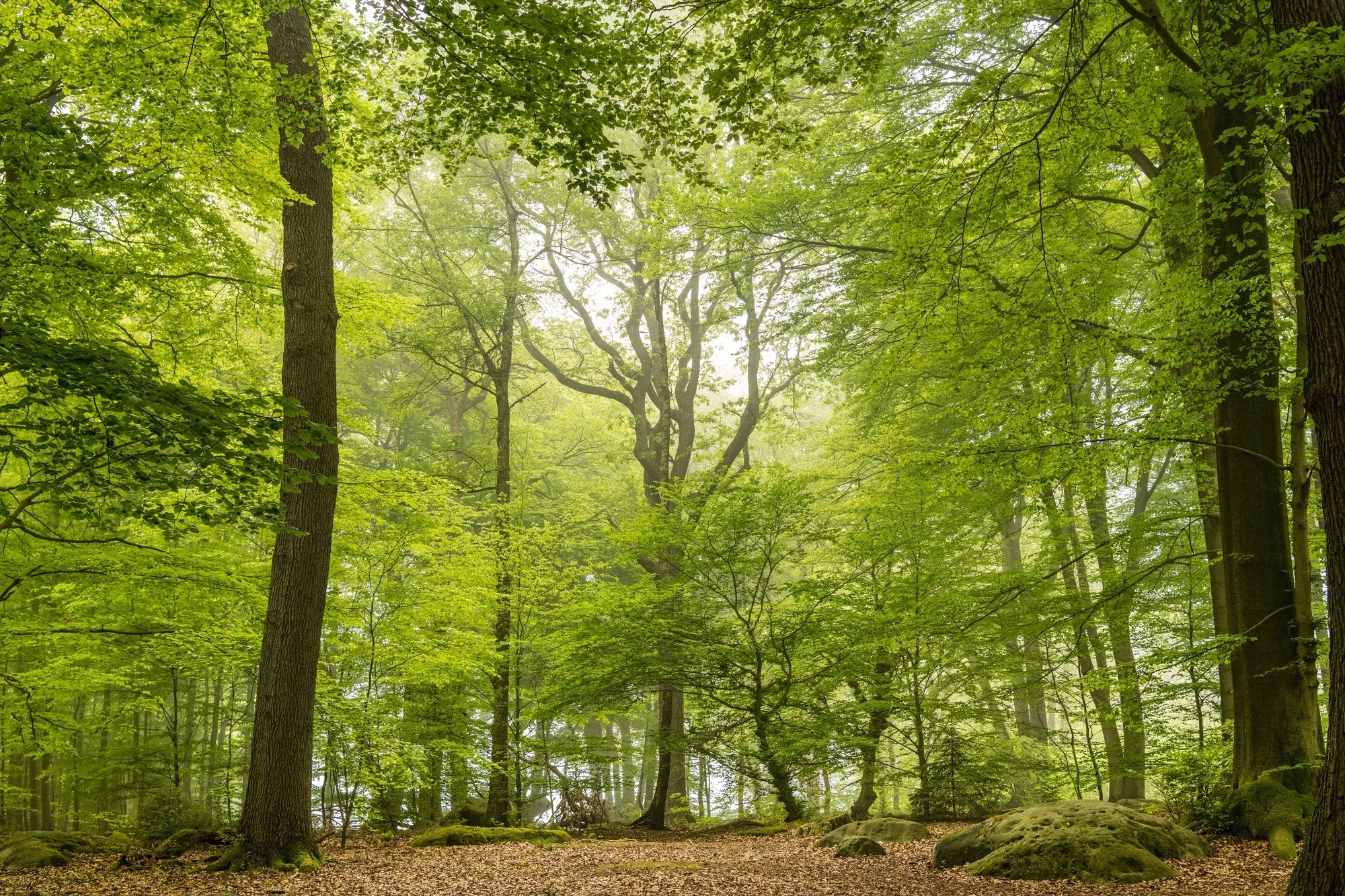
On the trail of a political artefact Kelmis, Moresnet, Three-Country Point, Preuswald and Hergenrath – this hike follows the trail of history of this curious corner of Europe, roughly mapped out on the border of the one-time microstate Neutral-Moresnet.
- Greutăţi
-
mediu
- Evaluare
-
- Ruta
-
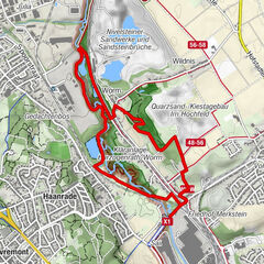
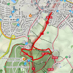
Kelmis1,3 kmAlt Moresnet4,4 kmSankt-Remigius-Kirche4,4 kmAuberge de Moresnet4,5 kmSchwarzer Engel6,8 kmVaalserberg (323 m)10,3 kmTüljequelle15,1 kmKapelle Peter Arnold Frank19,3 kmKelmis19,5 km
- Cel mai bun sezon
-
ianfebmaraprmaiiuniulaugsepoctnovdec
- Cel mai înalt punct
- 331 m
- Destinație
-
Kelmis, Altenberger Straße/Emmaburgerweg
- Profil de elevație
-
 © outdooractive.com


- Autor
-
Turul BorderRoute 2: Neutral-Moresnet este utilizat de outdooractive.com furnizat.
GPS Downloads


Informaţii generale
Oprire pentru băuturi răcoritoare
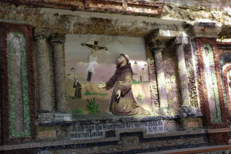
Cultural/Istoric
Promițător
Mai multe tururi în regiuni
-
Weserland / Belgisch - Limburg
376
-
Aachen
110