
© Fabienne Schaller - Zermatt Tourismus
© Fabienne Fux-Schaller - Zermatt Tourismus
© Fabienne Fux-Schaller - Zermatt Tourismus

- Scurtă descriere
-
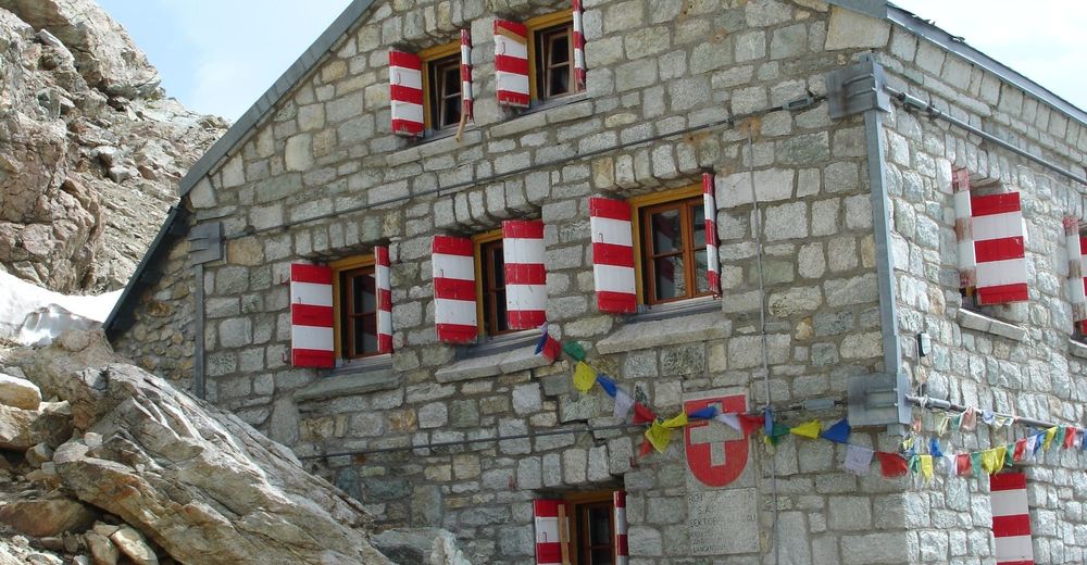
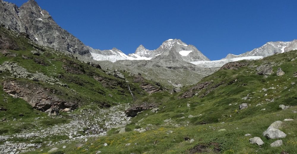
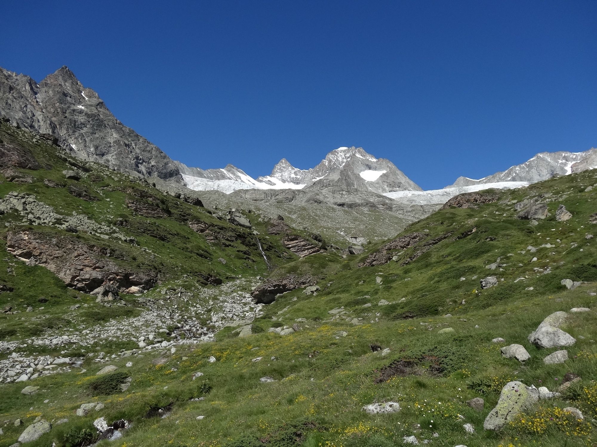
The Rothorn Hut attracts a colourful variety of mountaineers seeking high-altitude challenges. Regular mountain hikers, too, enjoy the climb up to the Eseltschuggen.
- Greutăţi
-
greu
- Evaluare
-
- Ruta
-
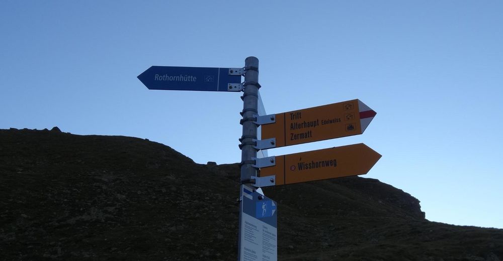
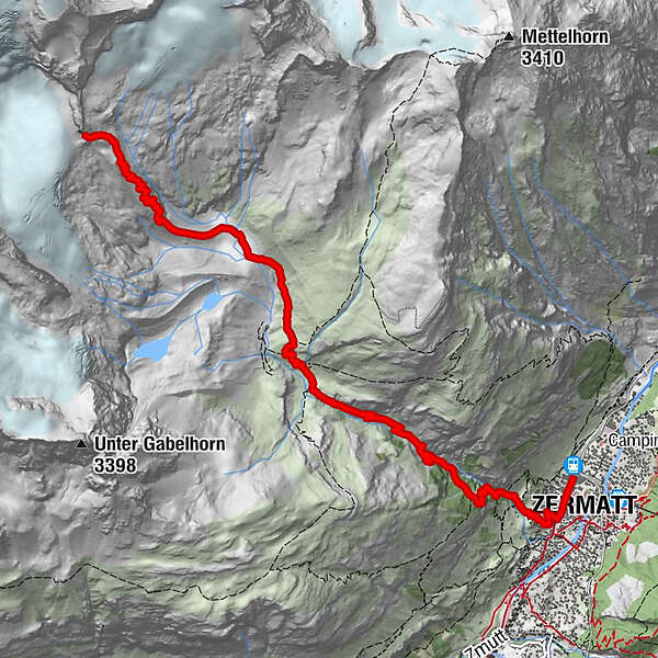
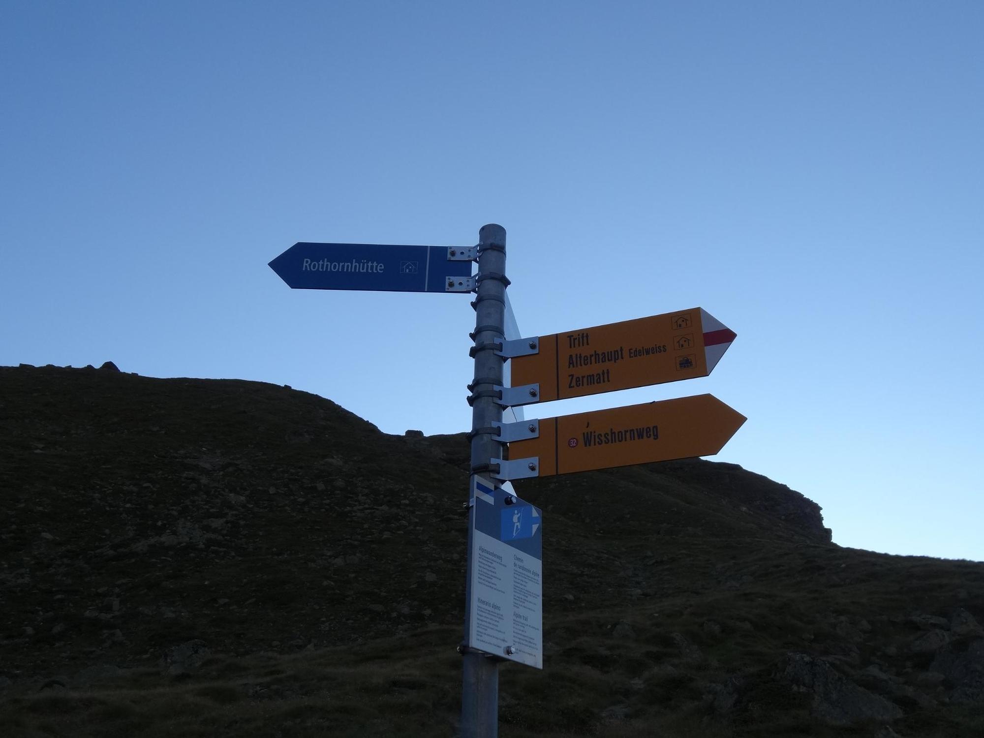
Zermatt (1.608 m)0,3 kmBerggasthaus Trift (2.337 m)3,9 kmRothornhütte (3.198 m)8,1 km
- Cel mai bun sezon
-
ianfebmaraprmaiiuniulaugsepoctnovdec
- Cel mai înalt punct
- 3.169 m
- Destinație
-
Rothorn Hut SAC (3,198 m)
- Profil de elevație
-
 © outdooractive.com

- Autor
-
Turul Hike to the Rothorn Hut (Nr. 34) este utilizat de outdooractive.com furnizat.
GPS Downloads


Informaţii generale
Oprire pentru băuturi răcoritoare
Flora
Fauna
Promițător
Mai multe tururi în regiuni
-
Oberwallis
1872
-
Mattertal
555
-
Zermatt
154


")
