

© Unbekannt - Zermatt Tourismus

© Unbekannt - Zermatt Tourismus

- Scurtă descriere
-
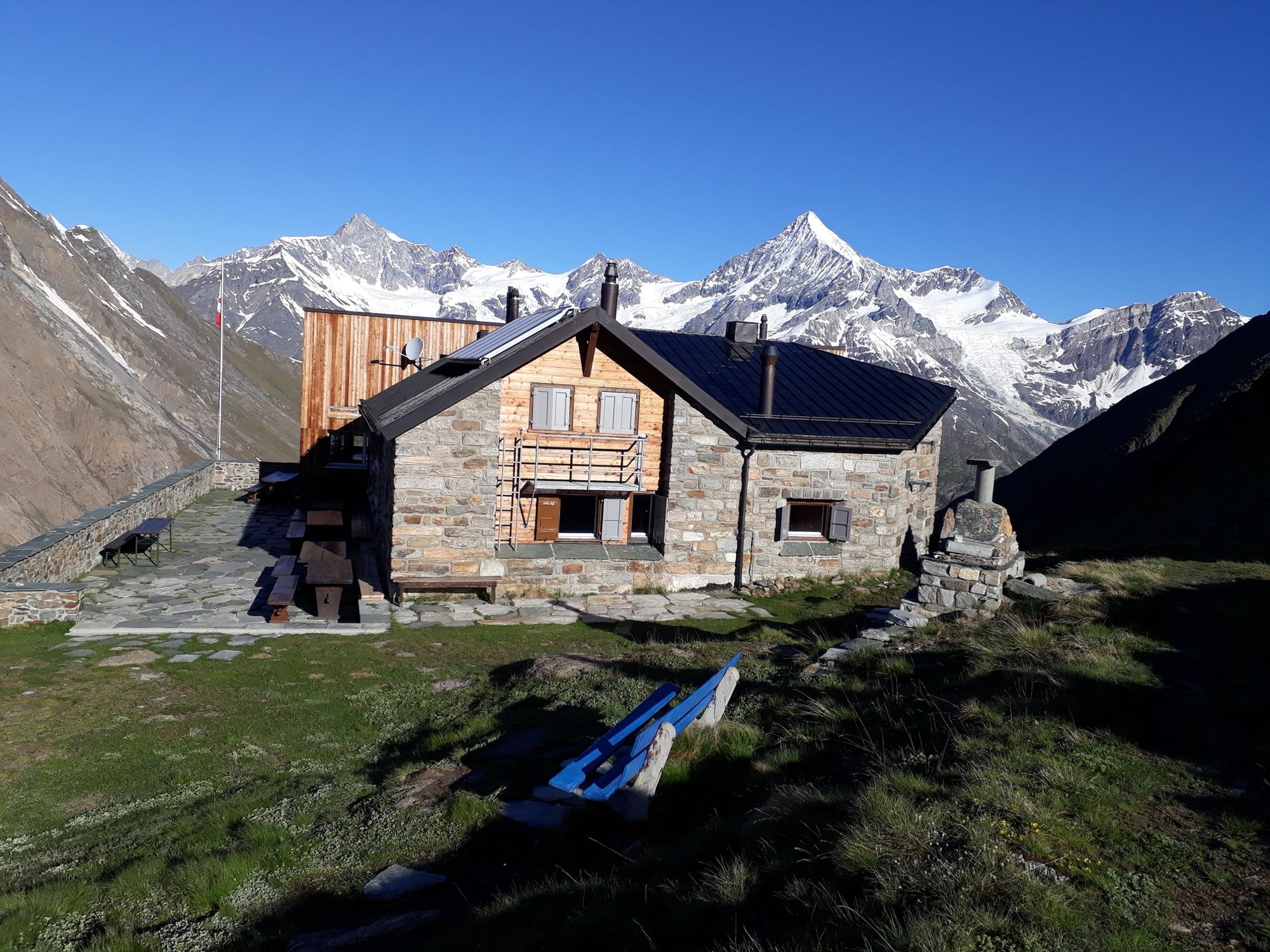
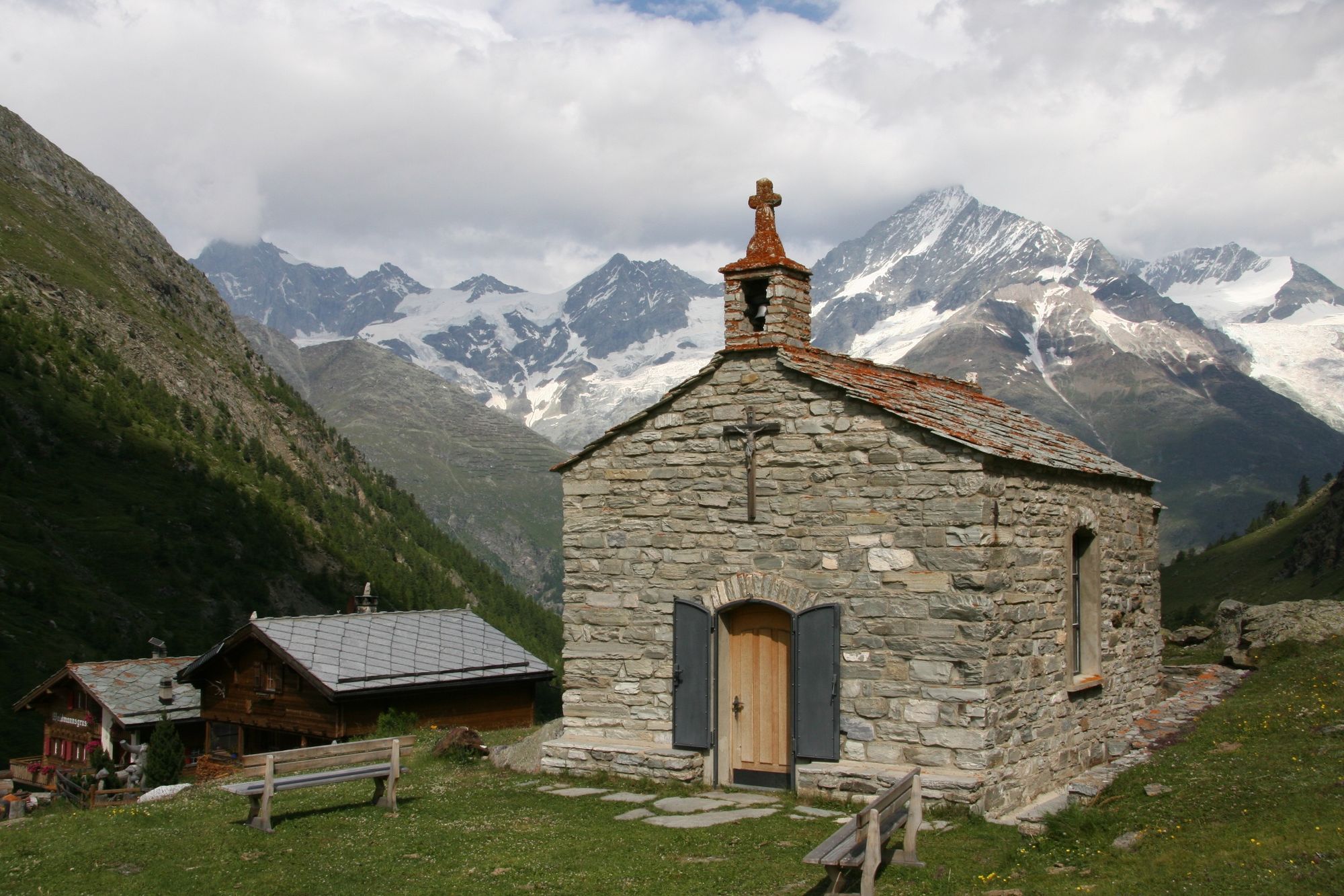
This varied walk offers a fascinating experience of different aspects of the alpine world: views of towering mountains, a surprising variety of alpine flora and a glimpse behind the scenes of a mountaineers’ hut.
- Greutăţi
-
greu
- Evaluare
-
- Ruta
-
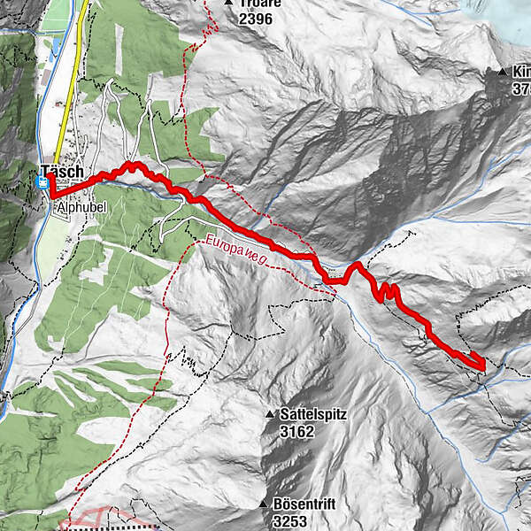
Täsch (1.449 m)0,0 kmRestaurant Walliserkanne0,1 kmTäscherhof0,1 kmEggenstadel2,4 kmTäschalp Restaurant & Lodge4,1 kmOttafe (2.205 m)4,1 kmTäschhütte (2.701 m)7,2 km
- Cel mai bun sezon
-
ianfebmaraprmaiiuniulaugsepoctnovdec
- Cel mai înalt punct
- 2.698 m
- Destinație
-
Täsch Hut (2,701 m)
- Profil de elevație
-
 © outdooractive.com
- Autor
-
Turul Hike to the Täsch Hut (Nr. 45) este utilizat de outdooractive.com furnizat.
GPS Downloads


Informaţii generale
Oprire pentru băuturi răcoritoare
Flora
Fauna
Promițător
Mai multe tururi în regiuni
-
Oberwallis
1887
-
Mattertal
555
-
Täsch
196


")


