

© Zermatt Tourismus - Pascal Gertschen

© Zermatt Tourismus - Fabienne Fux

© Zermatt Tourismus - Pascal Gertschen
© Jelka - Zermatt Tourismus
© Fabienne Schaller - Zermatt Tourismus

- Scurtă descriere
-
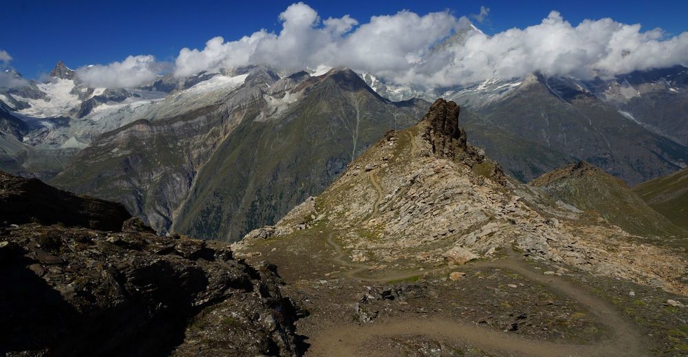
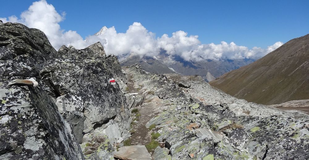
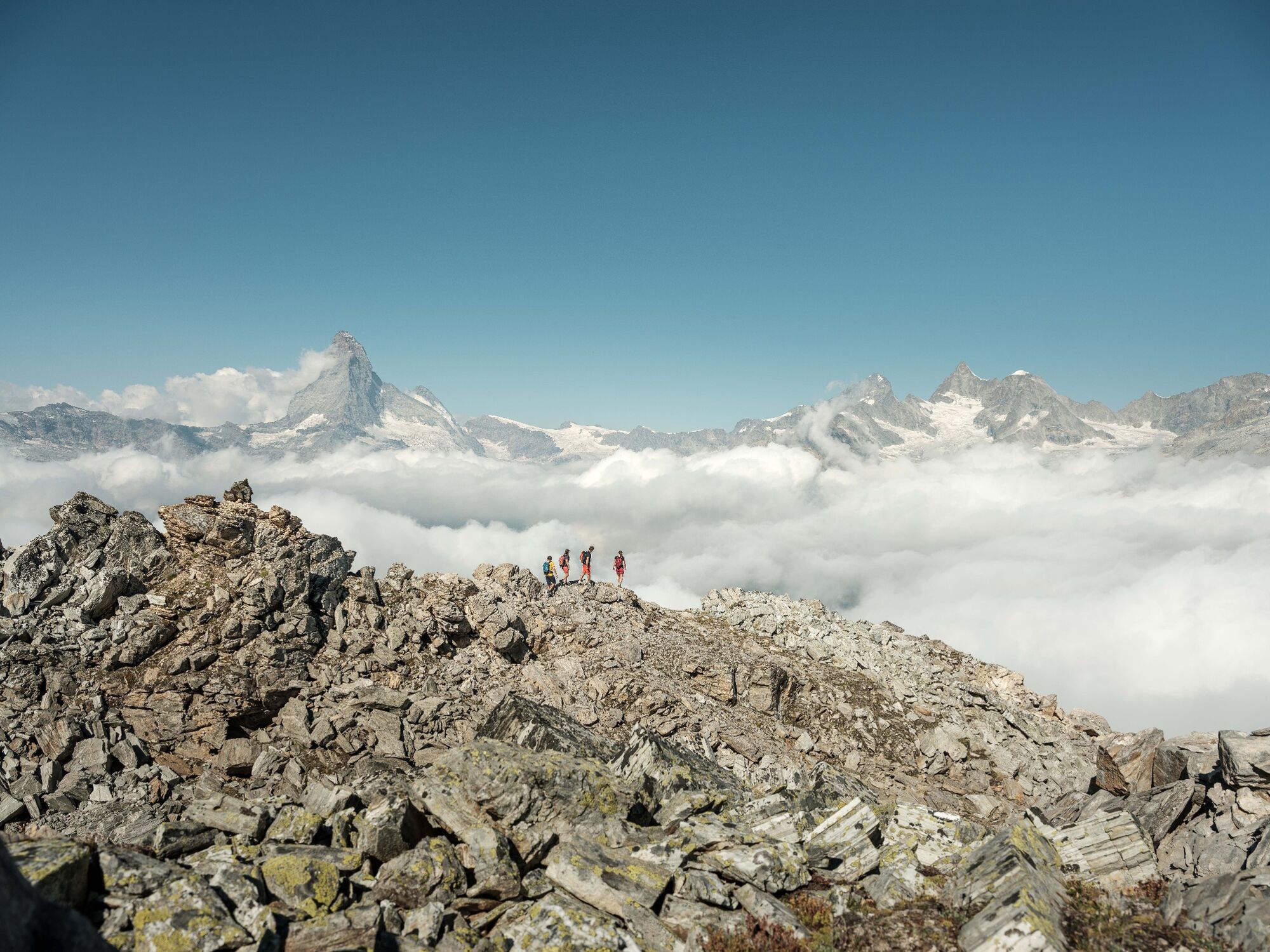
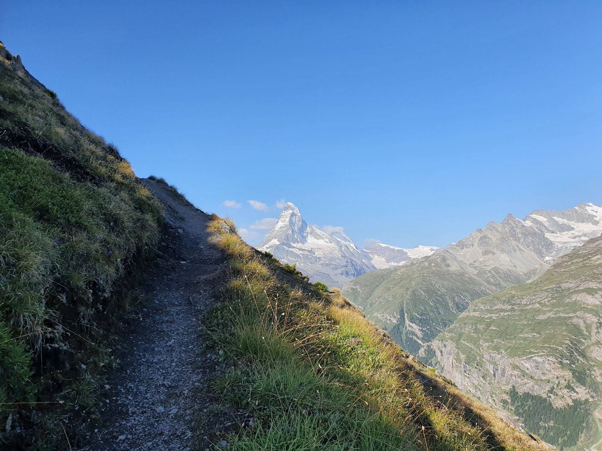
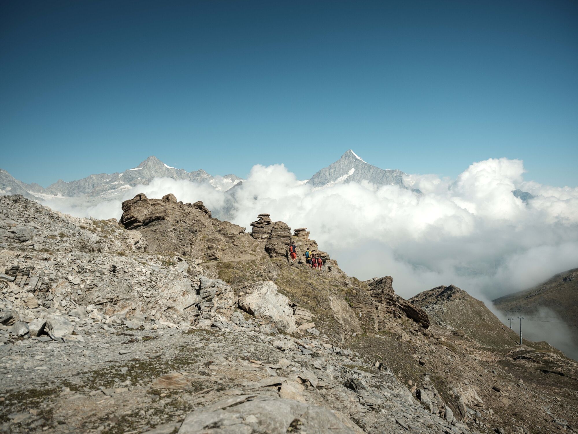
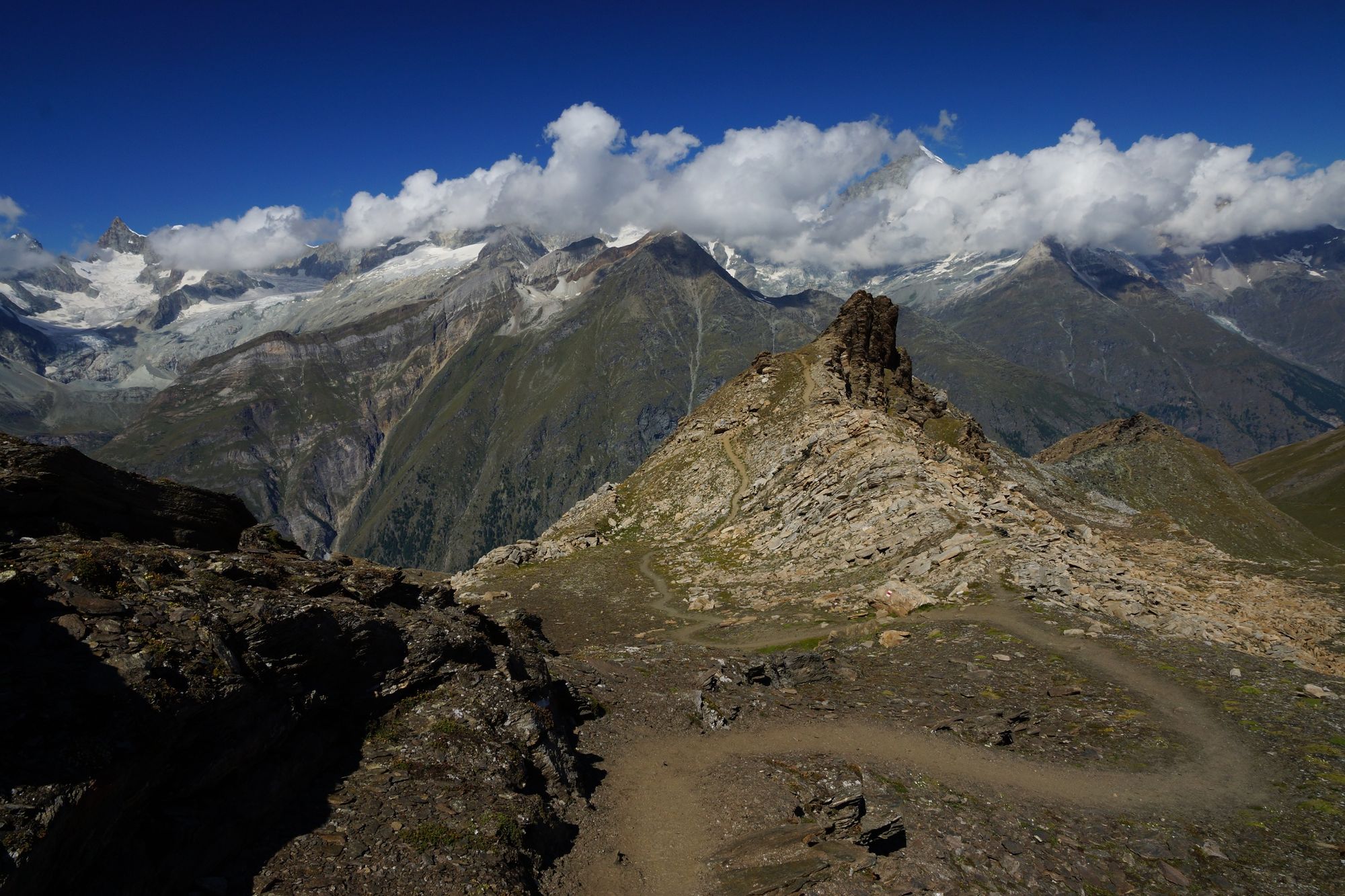
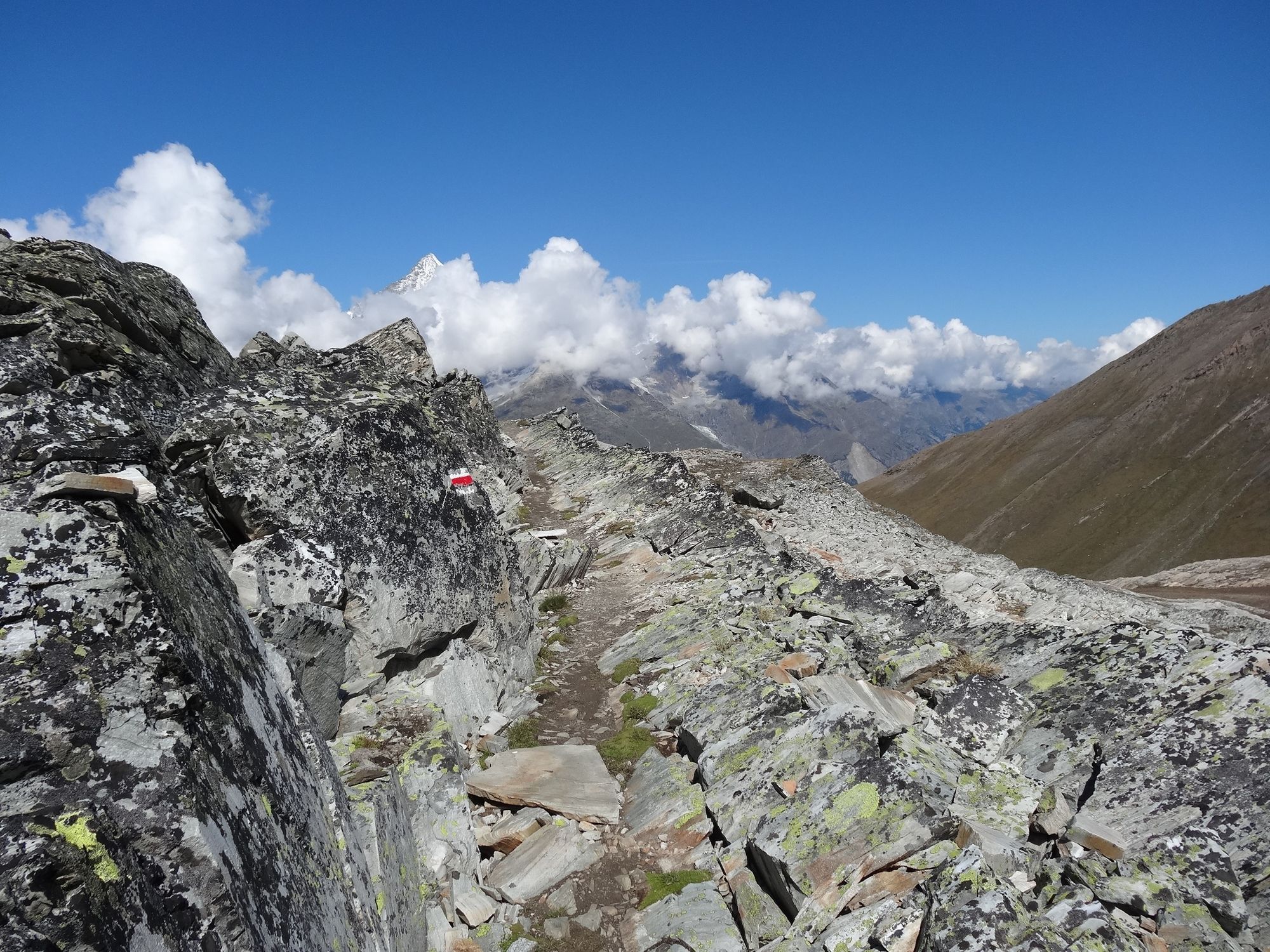
This steep trail rewards hikers with magnificent views on both sides: of the Alpine panorama with dramatic 4,000-metre peaks, and way down to Zermatt and into a small, secluded side valley.
- Greutăţi
-
greu
- Evaluare
-
- Ruta
-
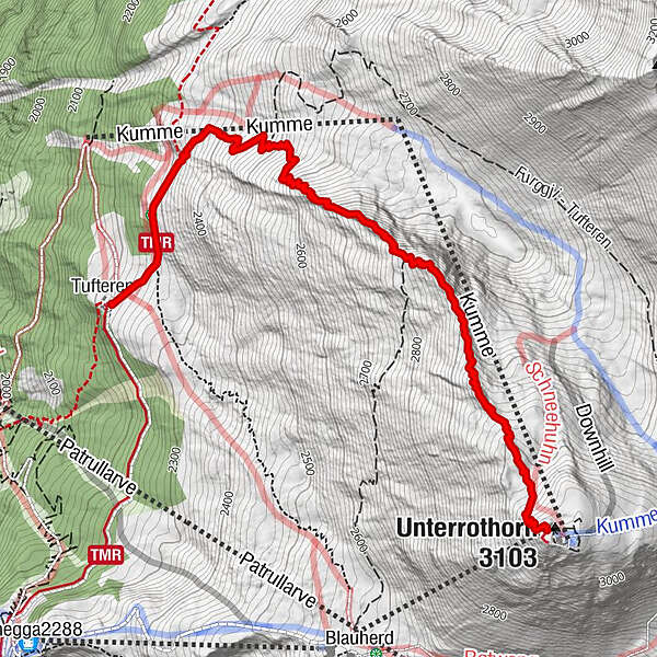
Unterrothorn (3.103 m)0,0 kmRothorn (3.100 m)0,0 kmTufteren (2.215 m)4,1 kmTufternhütte (2.216 m)4,1 km
- Cel mai bun sezon
-
ianfebmaraprmaiiuniulaugsepoctnovdec
- Cel mai înalt punct
- 3.082 m
- Destinație
-
Tufteren (2,215 m)
- Profil de elevație
-
 © outdooractive.com
- Autor
-
Turul Adventure Trail (Nr. 1) este utilizat de outdooractive.com furnizat.
GPS Downloads


Informaţii generale
Oprire pentru băuturi răcoritoare
Flora
Fauna
Promițător
Mai multe tururi în regiuni
-
Oberwallis
1872
-
Mattertal
555
-
Täsch
195


")


