

© Saastal Tourismus AG

© Saastal Tourismus AG

© Saastal Tourismus AG

© Saastal Tourismus AG

© Saastal Tourismus AG

- Scurtă descriere
-
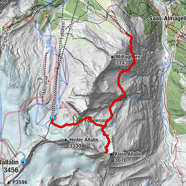
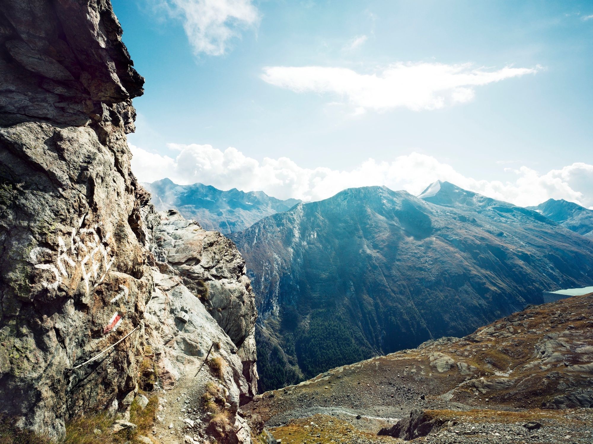
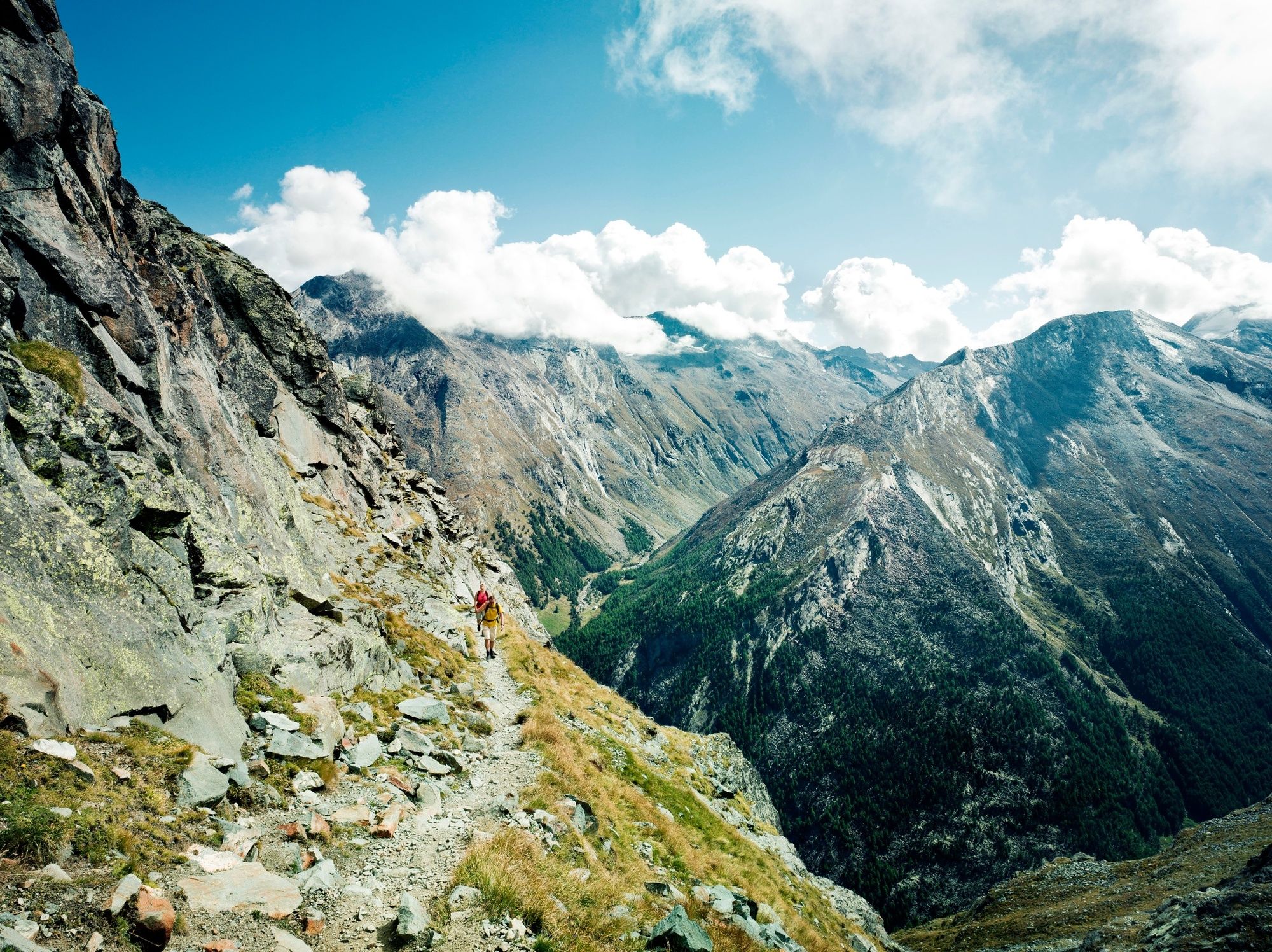
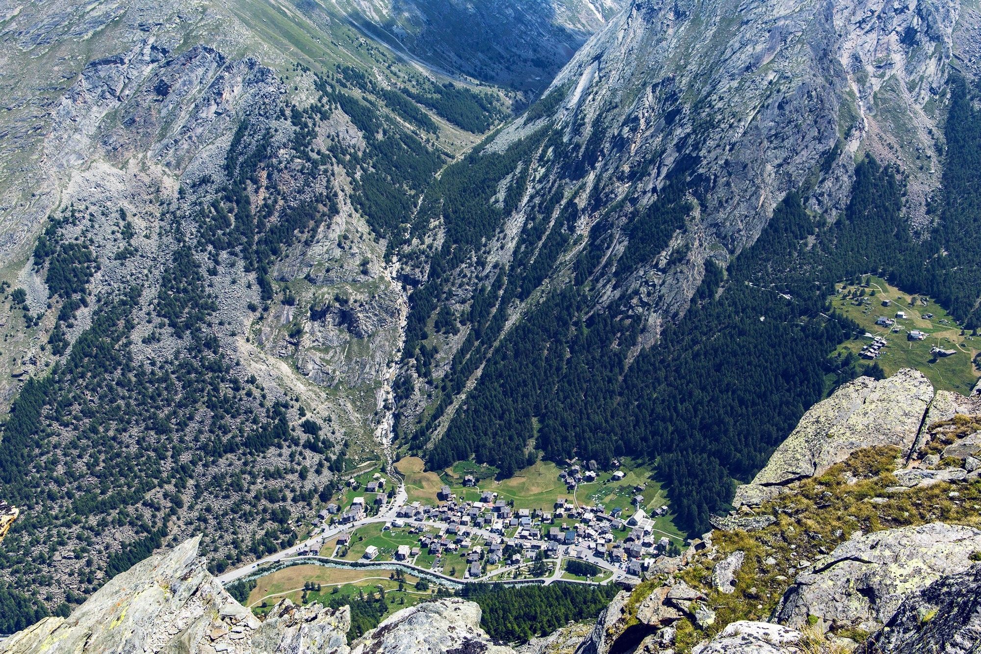
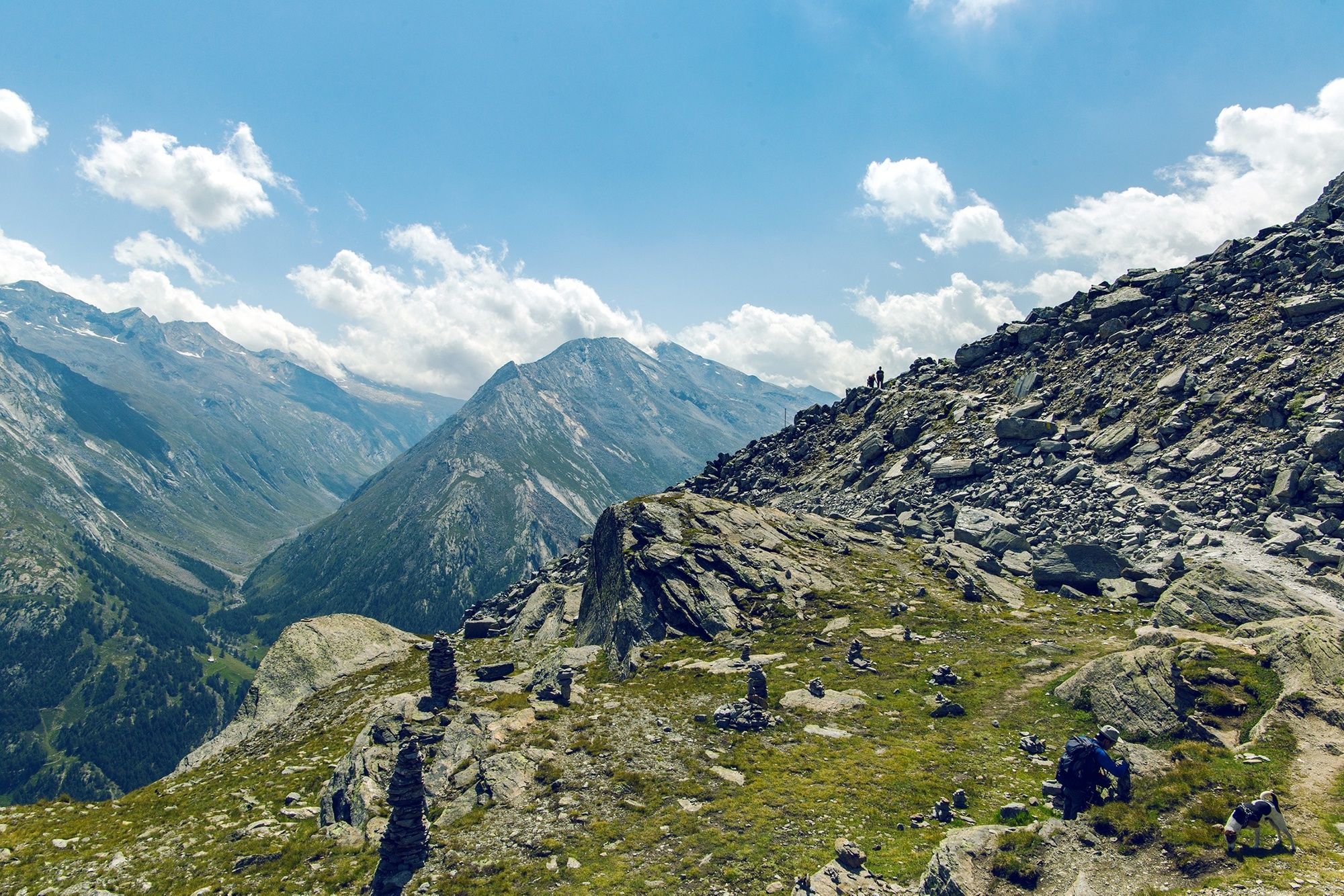
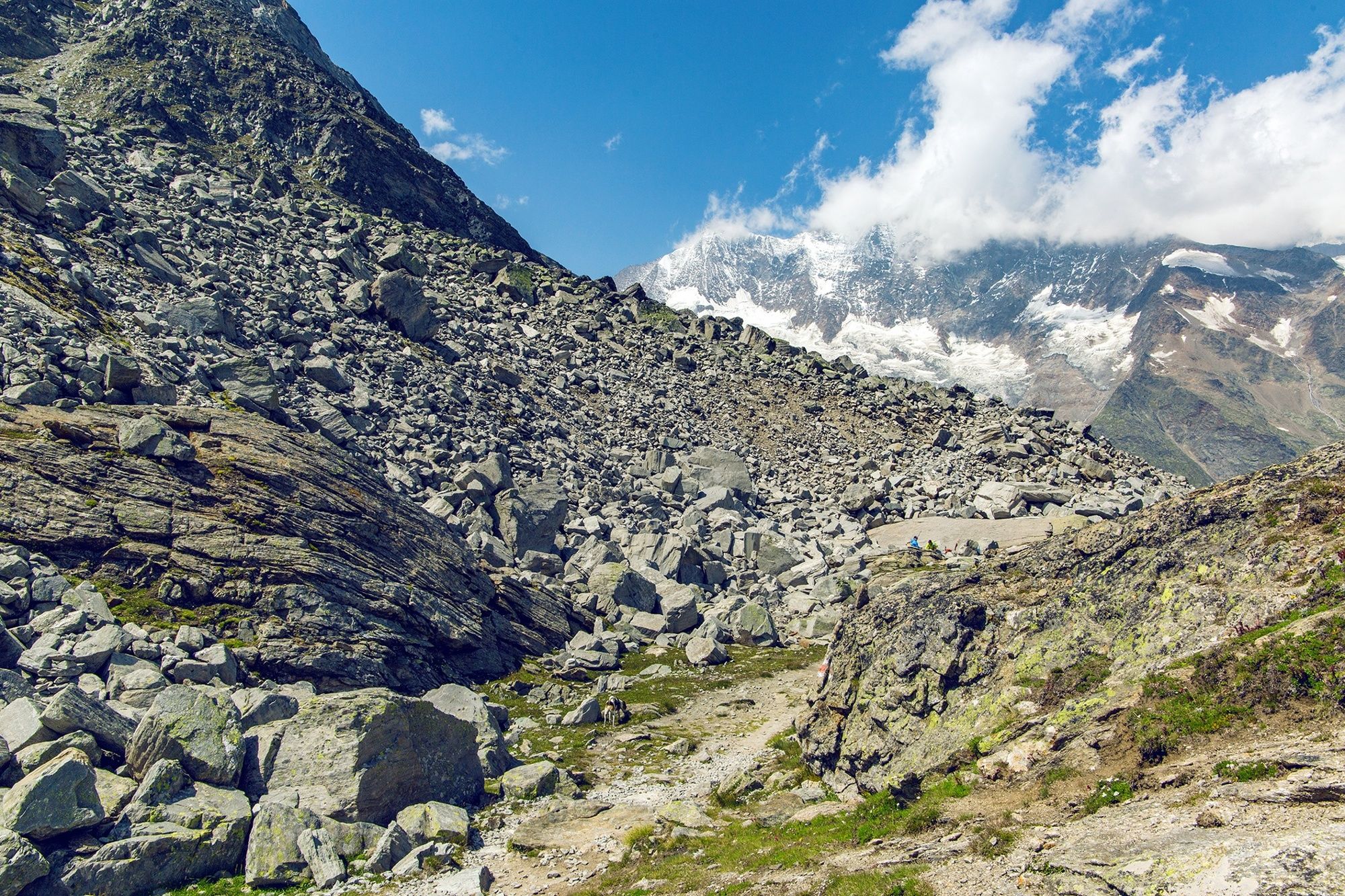
High-altitude hike through a wild glacial landscape between two cable car summit stations. Glorious views plus an ascent to a historical mountaineers’ hut.
- Greutăţi
-
greu
- Evaluare
-
- Ruta
-
Felskinn (2.989 m)Britanniahütte (3.030 m)2,9 kmPlattjen7,3 kmBergrestaurant Plattjen Terminus7,3 km
- Cel mai bun sezon
-
ianfebmaraprmaiiuniulaugsepoctnovdec
- Cel mai înalt punct
- 3.024 m
- Destinație
-
Plattjen, cable car summit station
- Profil de elevație
-
 © outdooractive.com
-

-
AutorTurul From Felskinn to the Britannia hut and Plattjen este utilizat de outdooractive.com furnizat.
GPS Downloads


Informaţii generale
Oprire pentru băuturi răcoritoare
Cultural/Istoric
Promițător
Mai multe tururi în regiuni
-
Oberwallis
1875
-
Saastal
484
-
Saas-Fee
128


