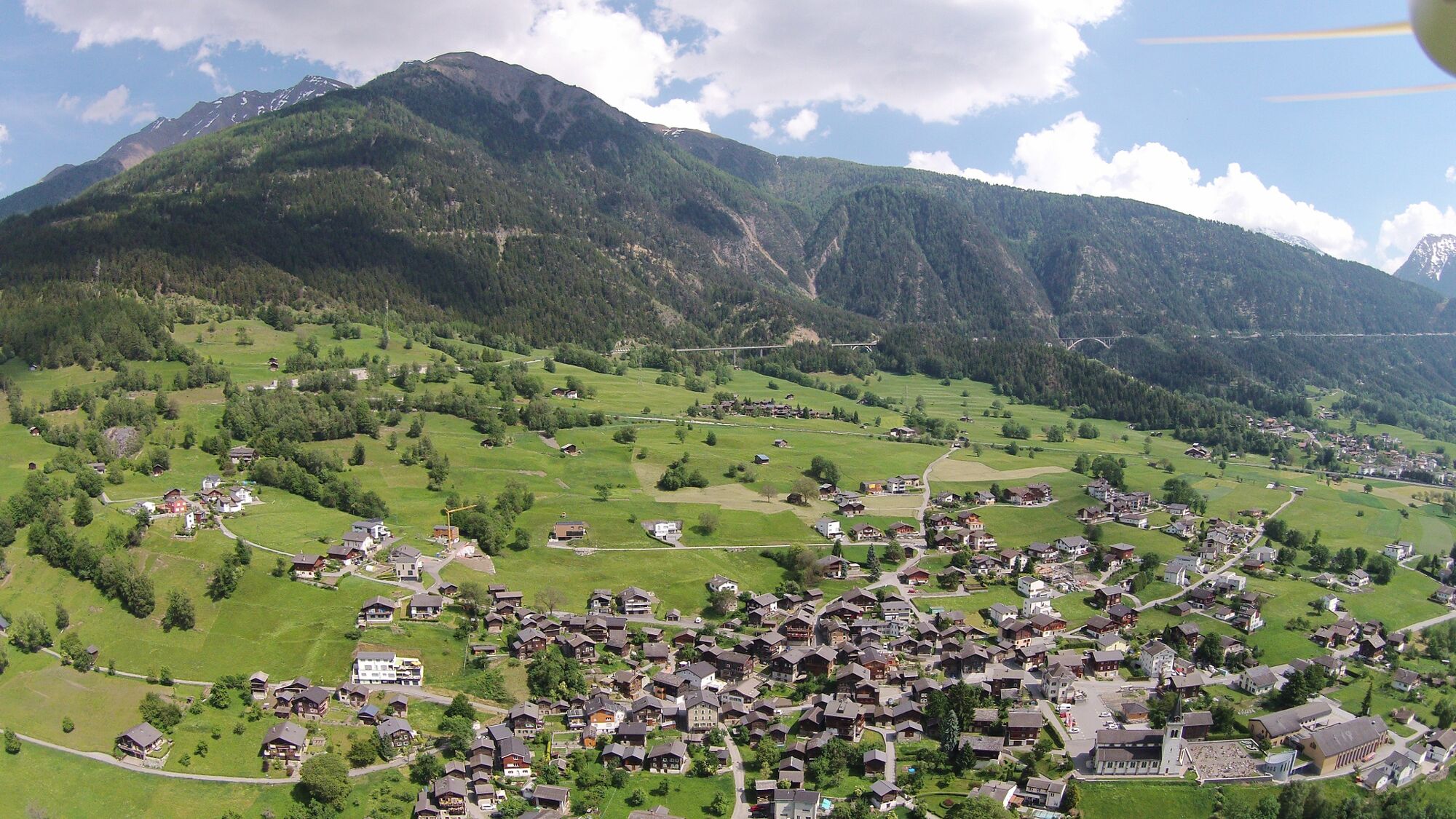
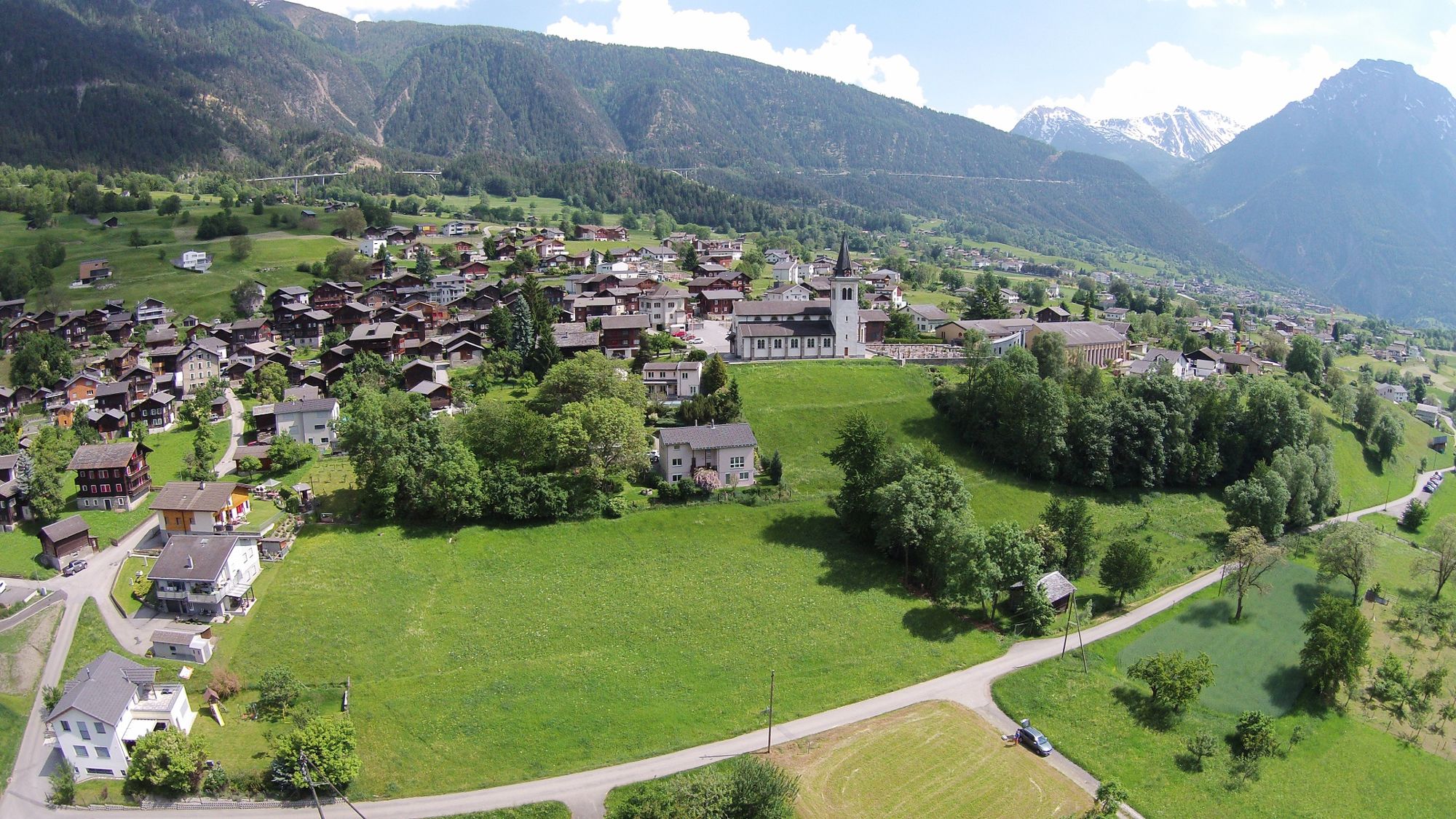
© Brig Simplon Tourismus AG - Silvio Burgener

© Brig Simplon Tourismus AG - Silvio Burgener

© Brig Simplon Tourismus AG - Silvio Burgener

© Brig Simplon Tourismus AG - Silvio Burgener

© Brig Simplon Tourismus AG - Silvio Burgener

© Brig Simplon Tourismus AG - Silvio Burgener

- Scurtă descriere
-
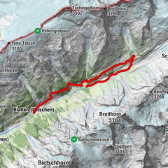
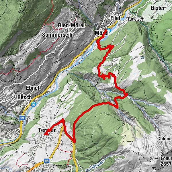
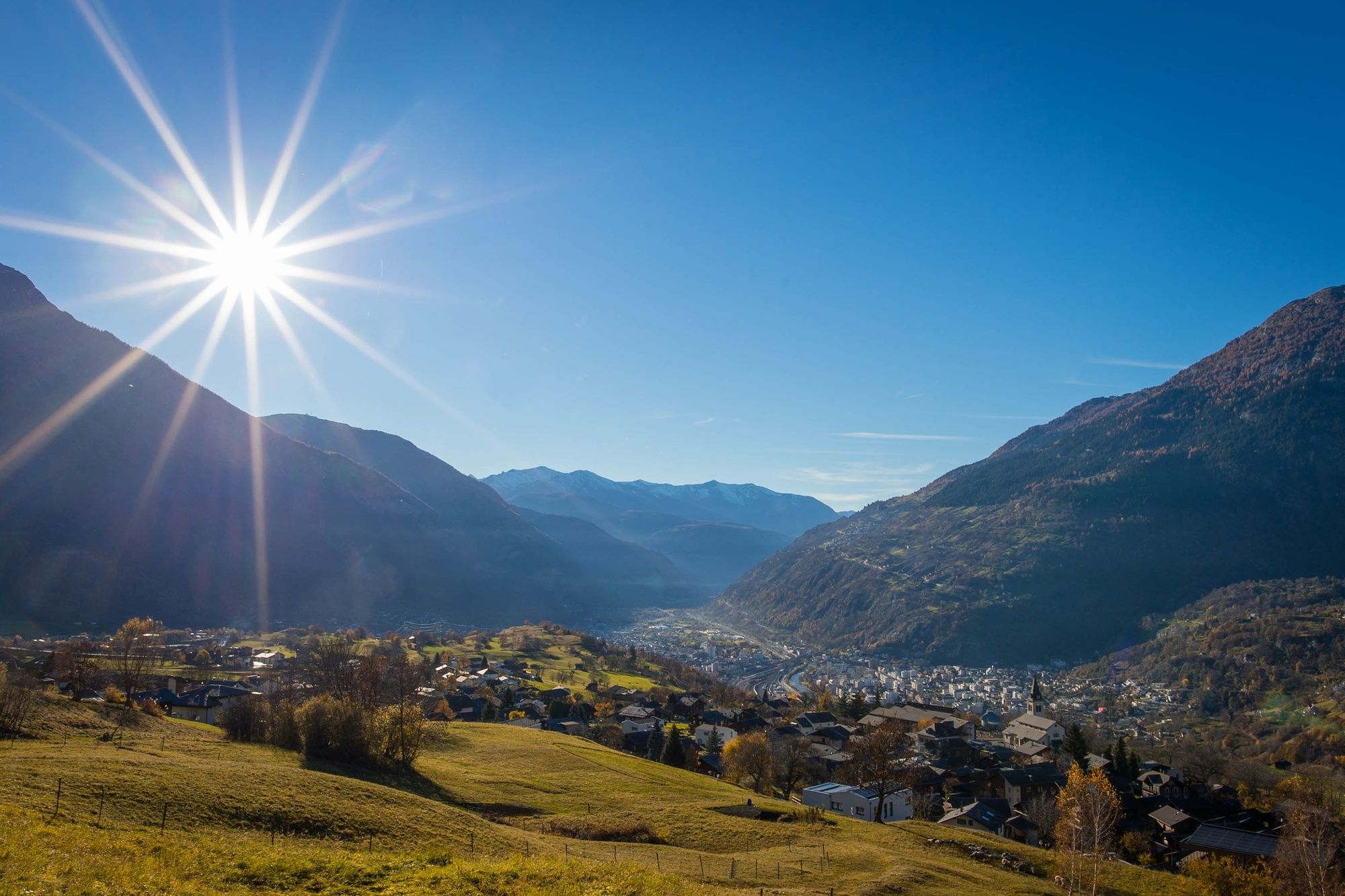
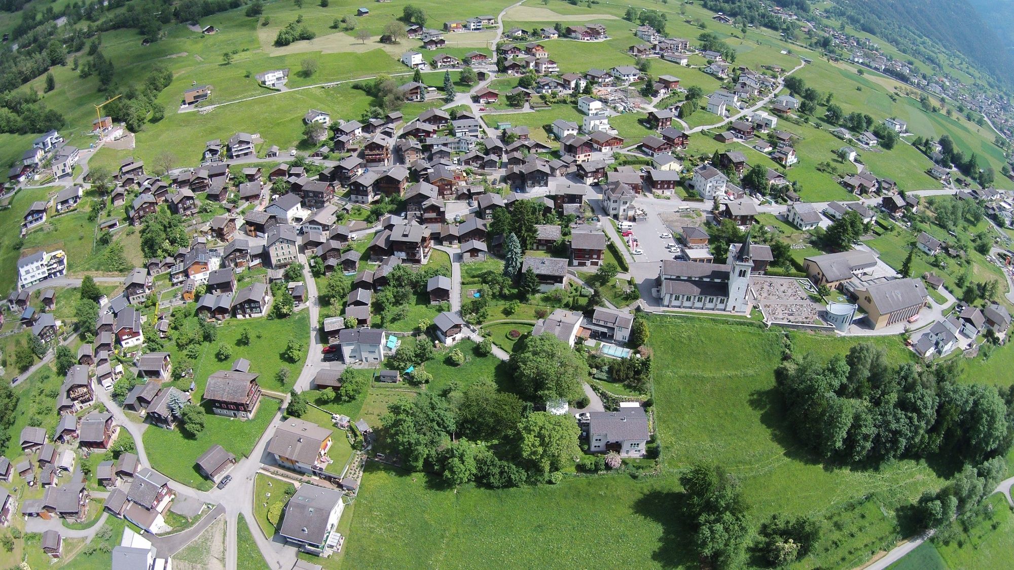
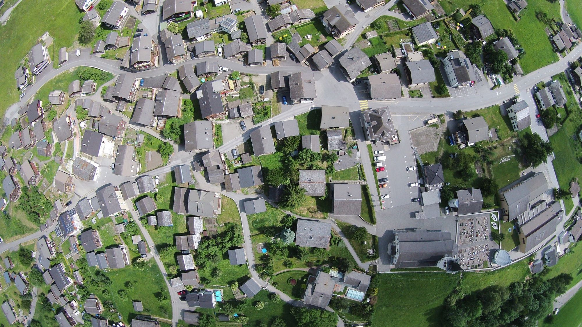
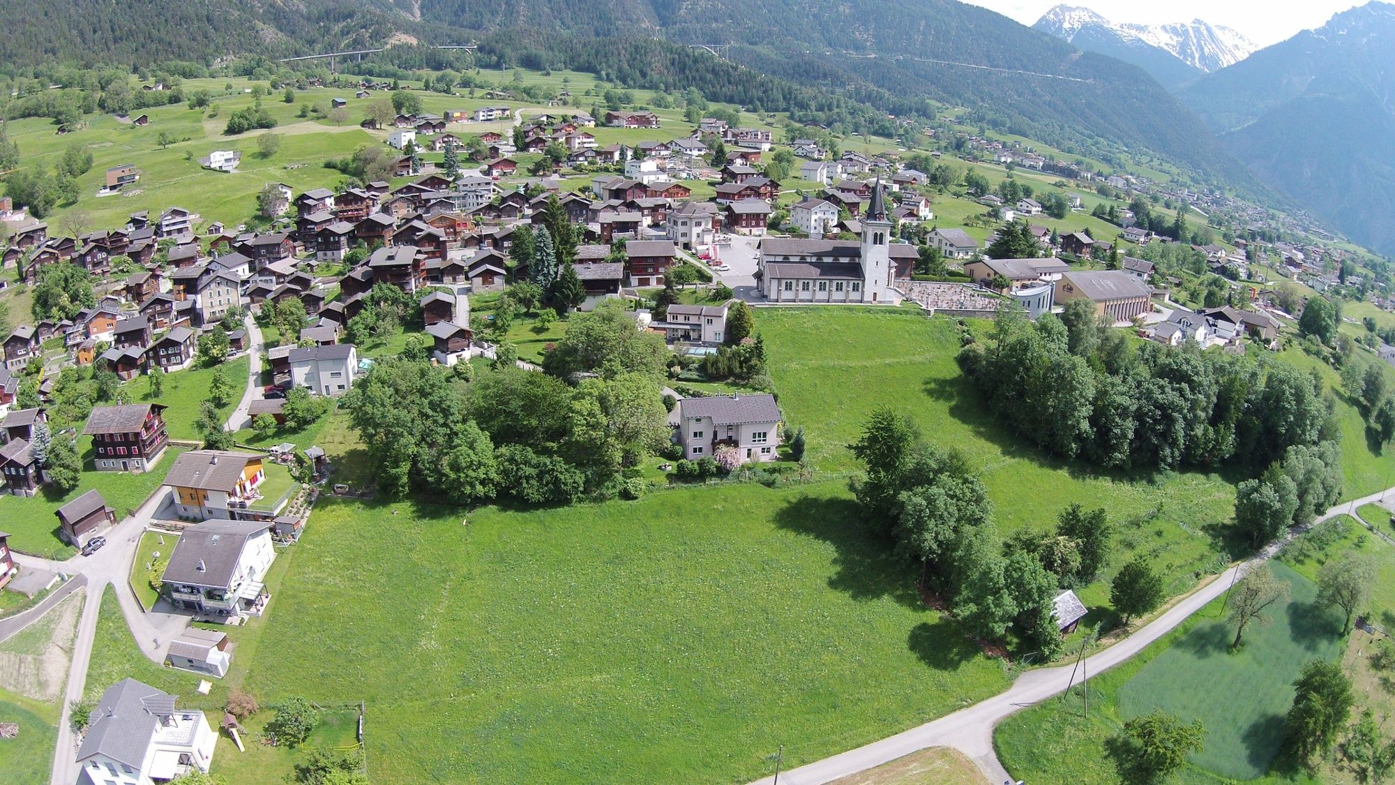
From the Valais village of Termen you hike over the lush meadows of the Brigerberg plateau along ancient shepherd paths to Mörel, where you will again have access to public transport.
- Greutăţi
-
mediu
- Evaluare
-
- Ruta
-
Saflisch0,0 kmTermen0,3 kmMörel (746 m)9,4 kmRelais Walker9,6 kmFilet (757 m)9,7 kmBreiten9,7 km
- Cel mai bun sezon
-
ianfebmaraprmaiiuniulaugsepoctnovdec
- Cel mai înalt punct
- 1.395 m
- Destinație
-
Mörel, railway station
- Profil de elevație
-
 © outdooractive.com
-

-
AutorTurul Termen - zGartu - Mörel este utilizat de outdooractive.com furnizat.
GPS Downloads


Informaţii generale
Promițător
Mai multe tururi în regiuni
-
Aletsch Arena
1496
-
Brig Simplon
487
-
Bitsch
197