

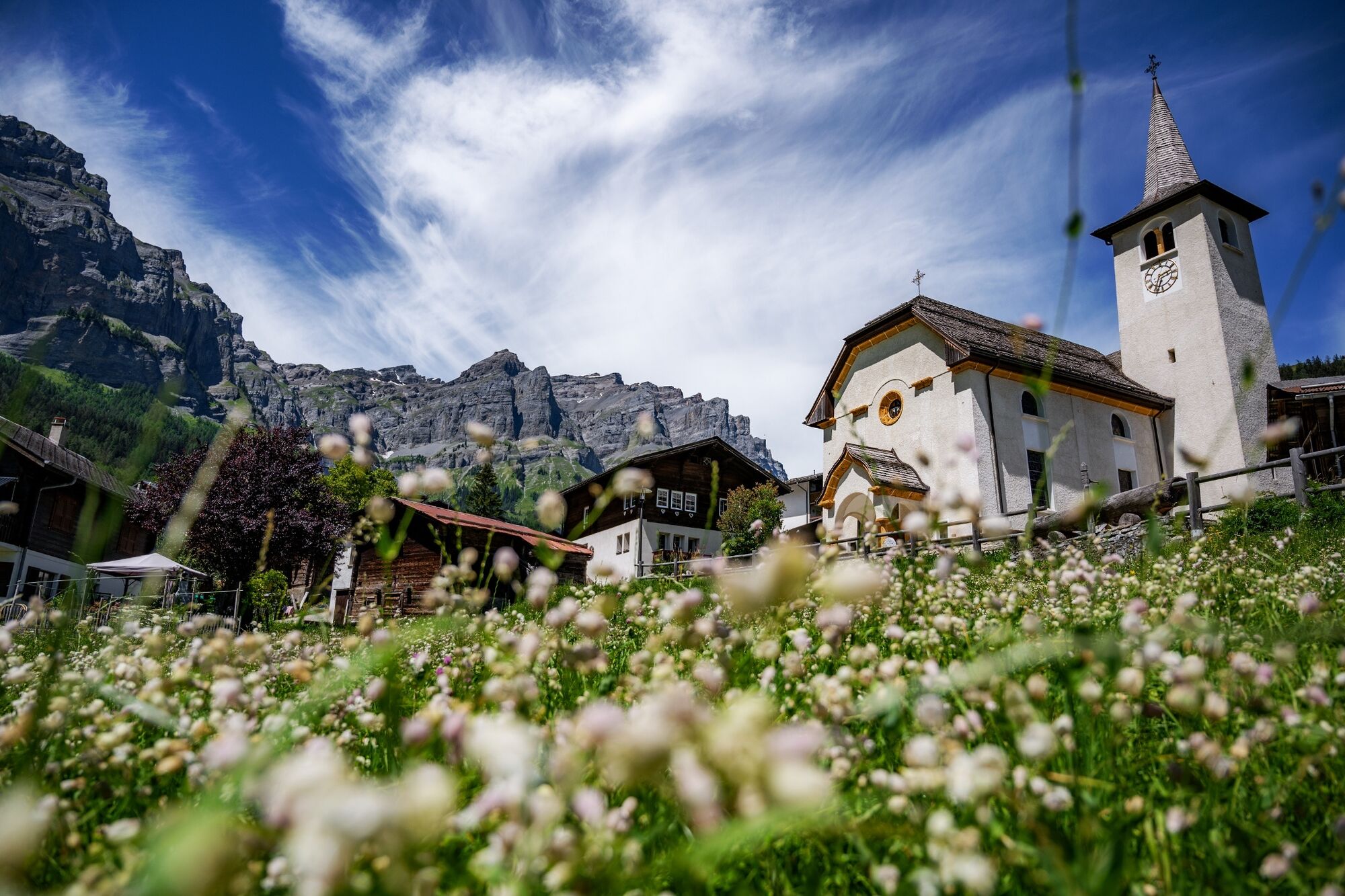
© Switzerland Tourism - Tina Sturzenegger

© My Leukerbad AG

© Switzerland Tourism - Tina Sturzenegger

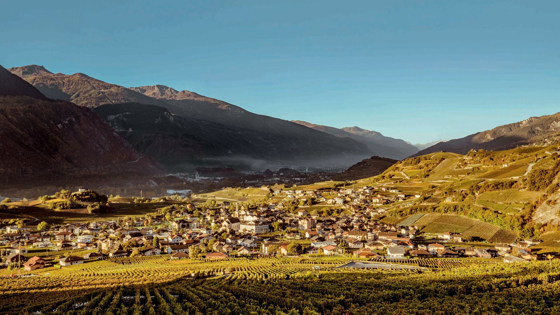
© Valais/Wallis Promotion - Marco Schnyder

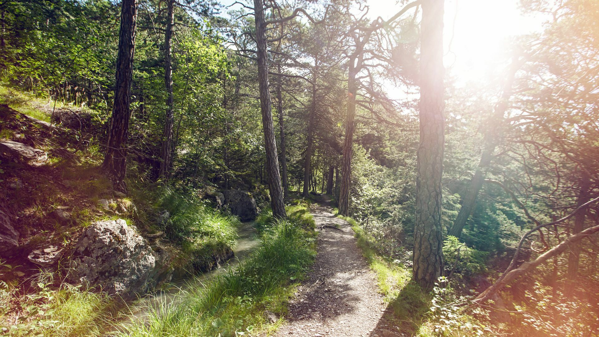
© Switzerland Tourism - Tina Sturzenegger

- Scurtă descriere
-
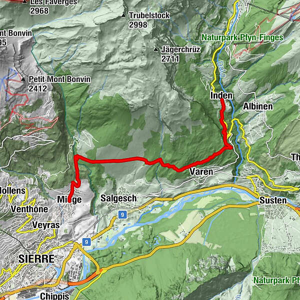
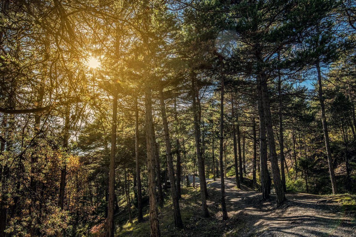
Discover the diversity of the Valais in the tiniest of areas on a hike that crosses the Raspille river and the German-French language border.
- Greutăţi
-
mediu
- Evaluare
-
- Ruta
-
IndenRustico0,0 kmLa Poprija8,4 kmEglise de Miège10,6 kmMiesen (702 m)10,6 kmLe Relais Miègois10,7 km
- Cel mai bun sezon
-
ianfebmaraprmaiiuniulaugsepoctnovdec
- Cel mai înalt punct
- 1.134 m
- Destinație
-
Miège
- Profil de elevație
-
 © outdooractive.com

- Autor
-
Turul Over the Raspille este utilizat de outdooractive.com furnizat.
GPS Downloads


Informaţii generale
Oprire pentru băuturi răcoritoare
Climatul de vindecare
Cultural/Istoric
Sfat din interior
Flora
Fauna
Promițător
Mai multe tururi în regiuni
-
Oberwallis
1872
-
Leuk/Leukerbad
1028
-
Varen
278


