© Evolène Région
© Evolène Région
© Evolène Région
© Evolène Région
© Evolène Région
© Evolène Région

- Scurtă descriere
-
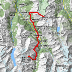
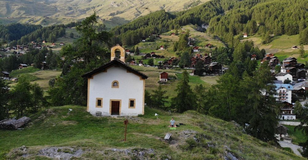
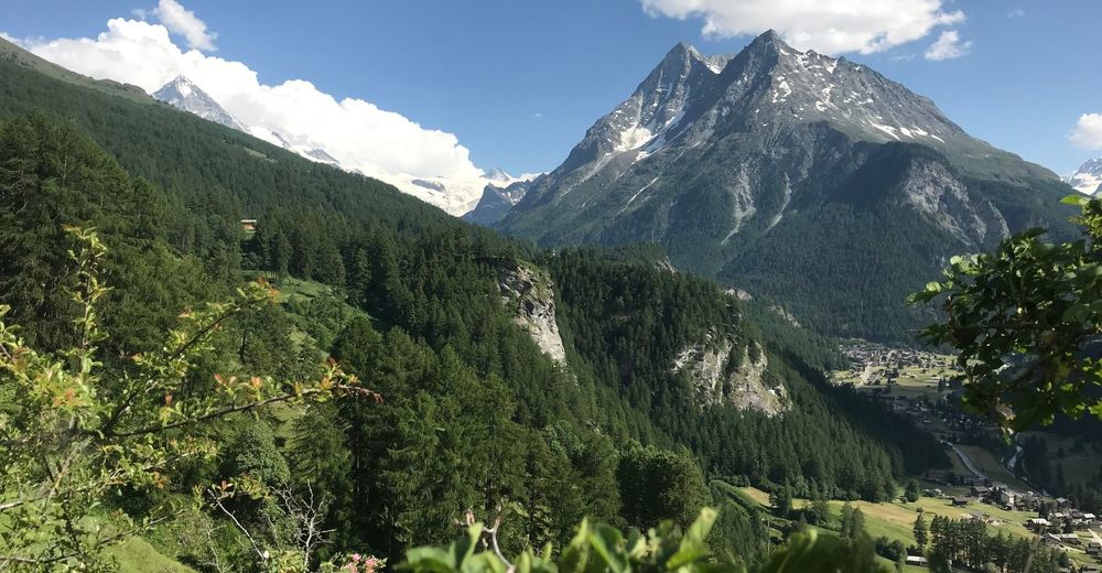
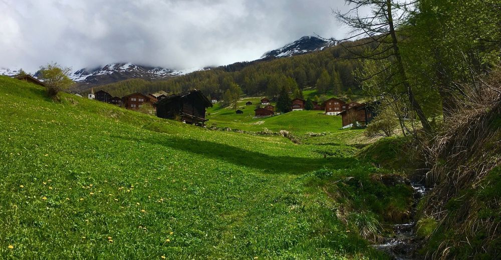
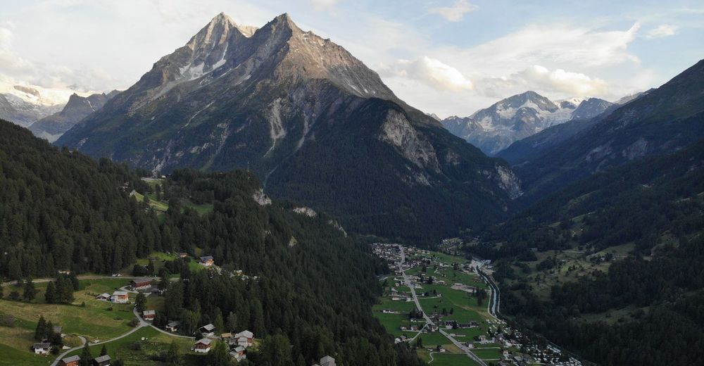
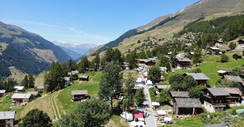
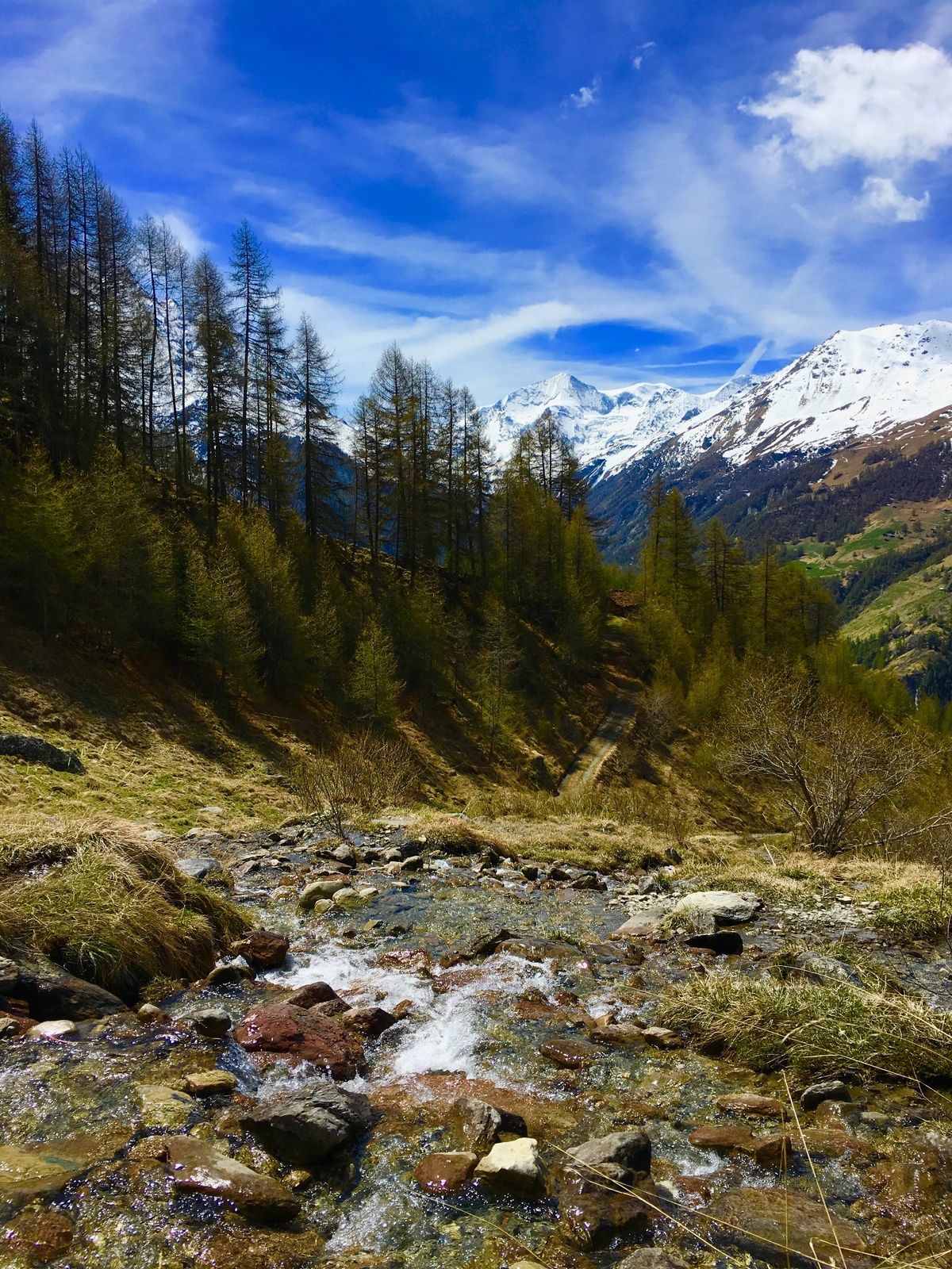
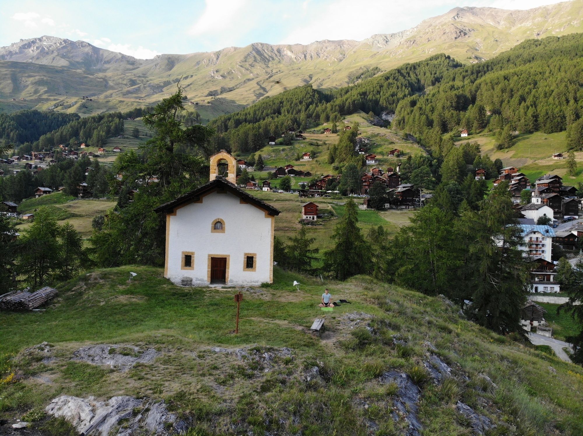
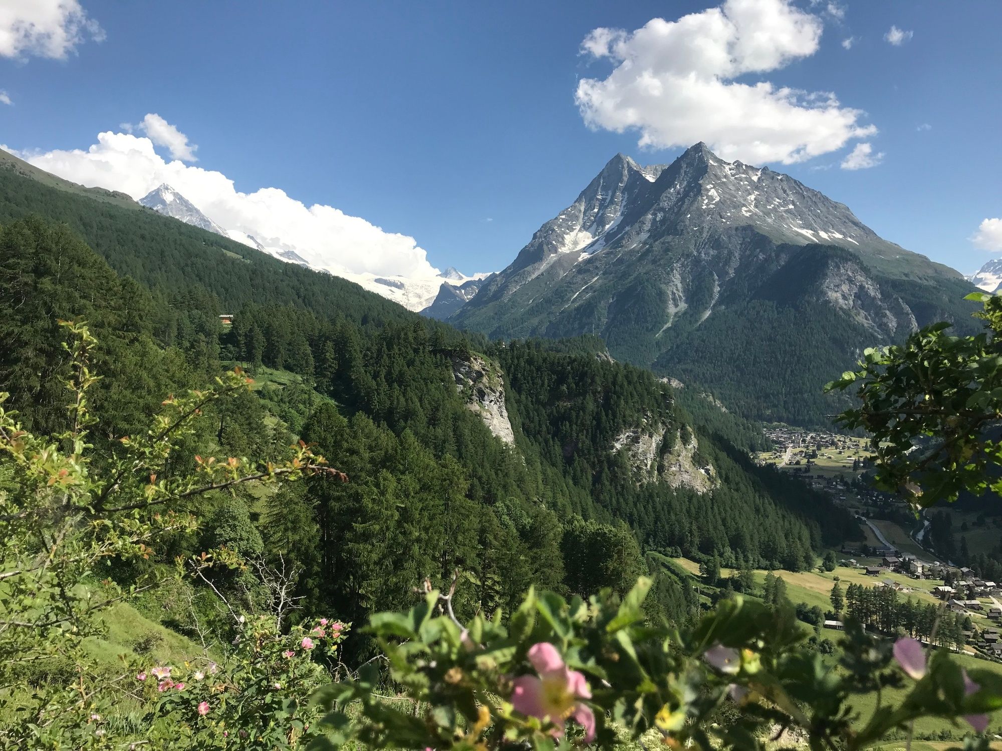
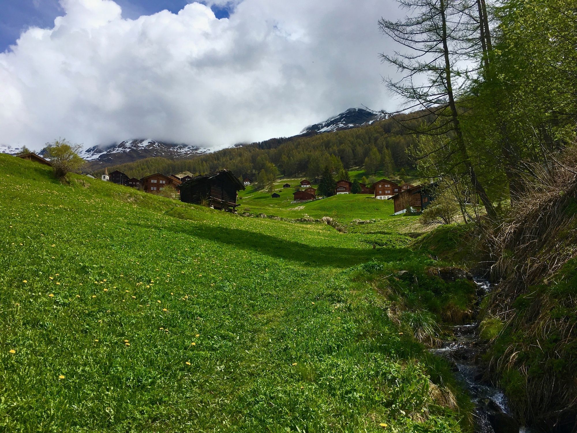
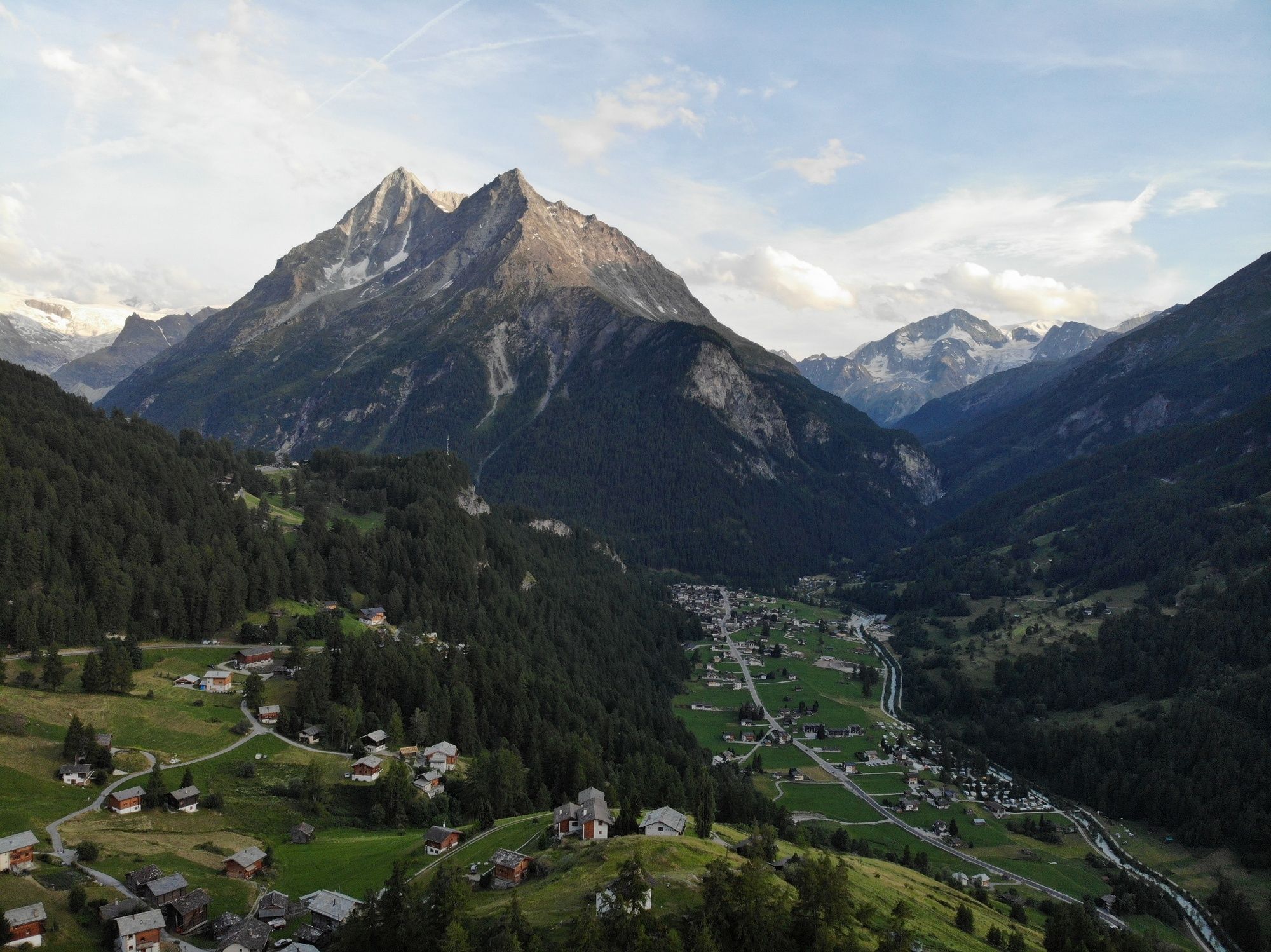
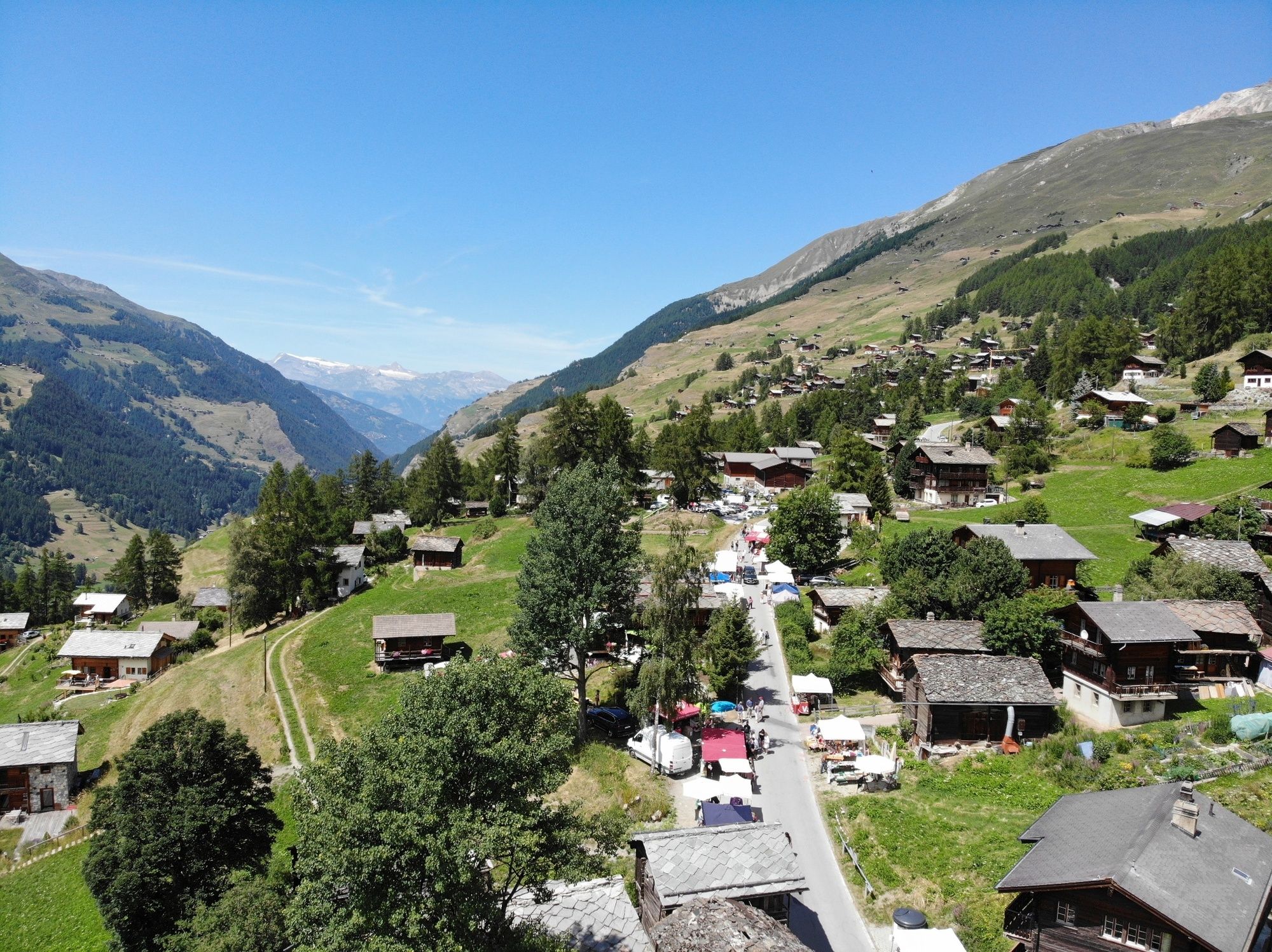
Discover the hamlets of La Sage, La Forclaz and Les Haudères with this route leading through a variety of terrain, ideal for an all-round training session.
- Greutăţi
-
uşor
- Evaluare
-
- Ruta
-
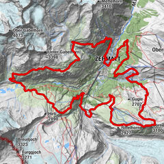
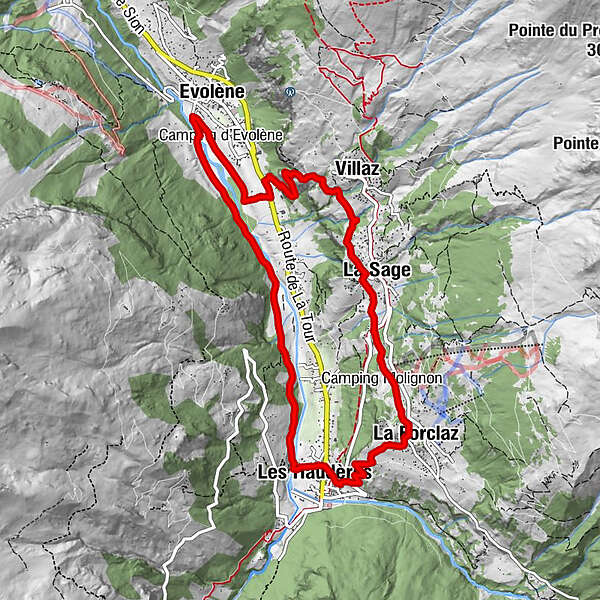
Evolène (1.371 m)La Fauchère (1.386 m)1,0 kmVilla (Evolène) (1.742 m)2,6 kmLa Sage3,5 kmTaillau3,7 kmPlan de Boë4,0 kmLes Coulayes4,1 kmPlace de Son La Forclaz5,0 kmLa Forclaz5,1 kmLes Haudères (1.454 m)6,7 kmLa Giette7,2 kmLa Laveintse7,9 kmBevernec8,4 kmEvolène (1.371 m)10,3 km
- Cel mai bun sezon
-
ianfebmaraprmaiiuniulaugsepoctnovdec
- Cel mai înalt punct
- 1.720 m
- Destinație
-
Parking de la colonie la Niva
- Profil de elevație
-
 © outdooractive.com
- Autor
-
Turul Through the “Rocs” este utilizat de outdooractive.com furnizat.
GPS Downloads


Informaţii generale
Oprire pentru băuturi răcoritoare
Cultural/Istoric
Sfat din interior
Promițător
Mai multe tururi în regiuni
-
Unterwallis
61
-
Evolène
37
-
Arolla
7