© Val d'Anniviers - Anniviers Tourisme

© Val d'Anniviers - Anniviers Tourisme

© Val d'Anniviers - Anniviers Tourisme

© Val d'Anniviers - Anniviers Tourisme

© Val d'Anniviers - Anniviers Tourisme

© Val d'Anniviers - Anniviers Tourisme

© Val d'Anniviers - Anniviers Tourisme

© Val d'Anniviers - Anniviers Tourisme
- Scurtă descriere
-
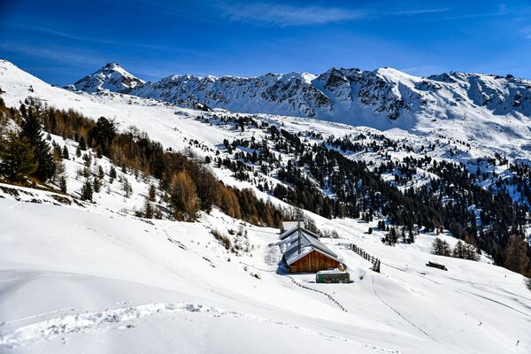
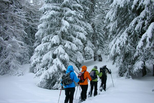
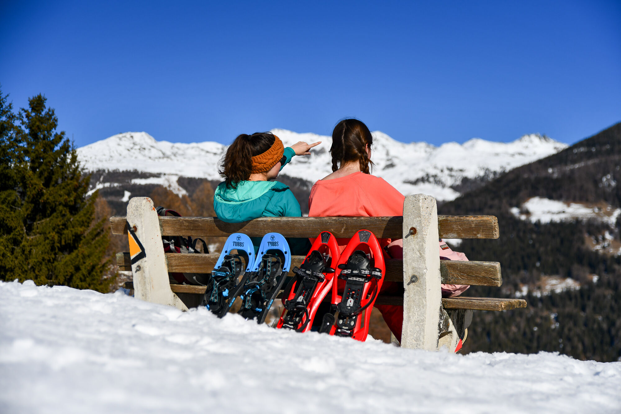
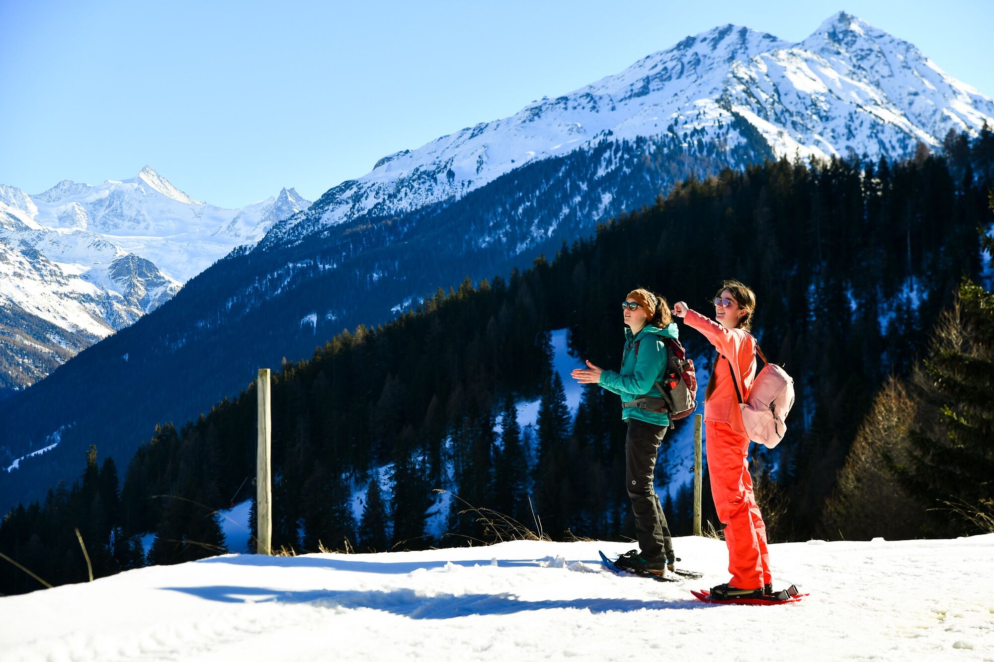
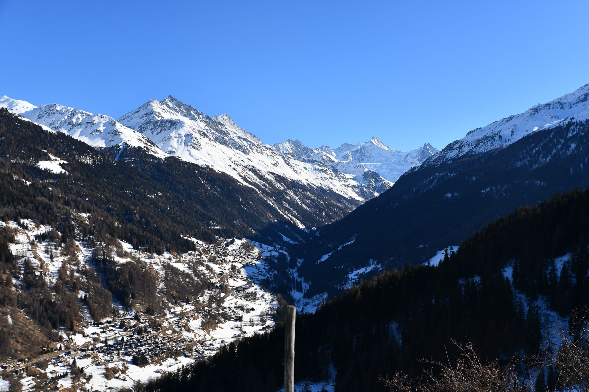
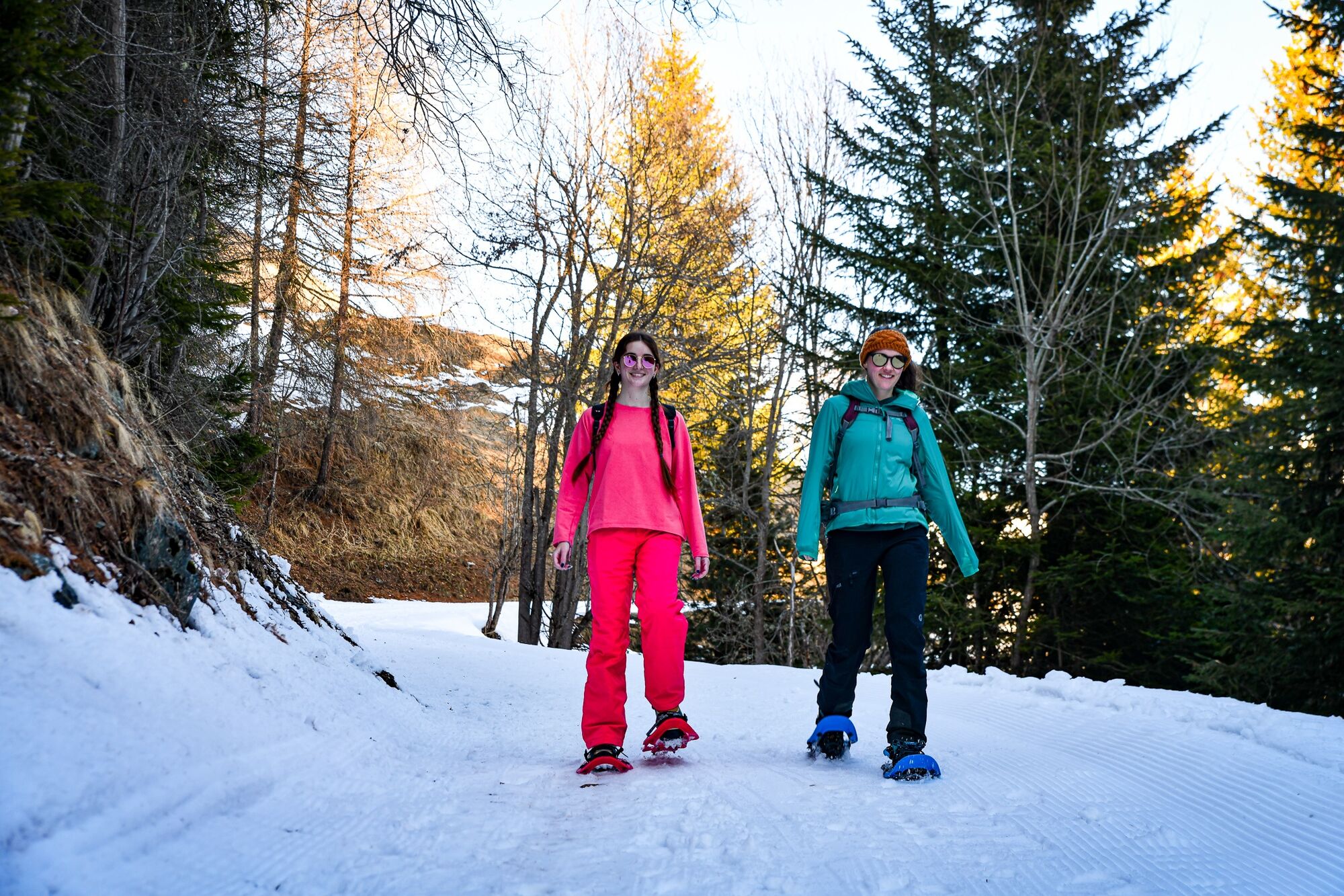
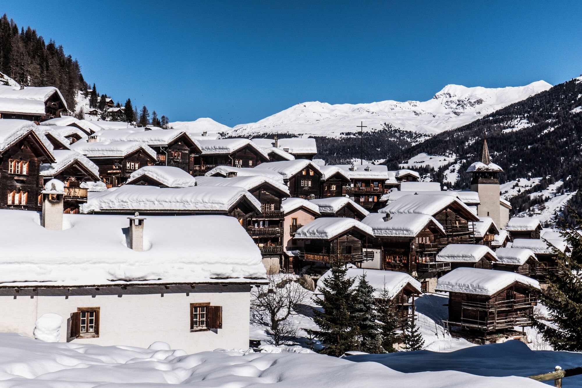
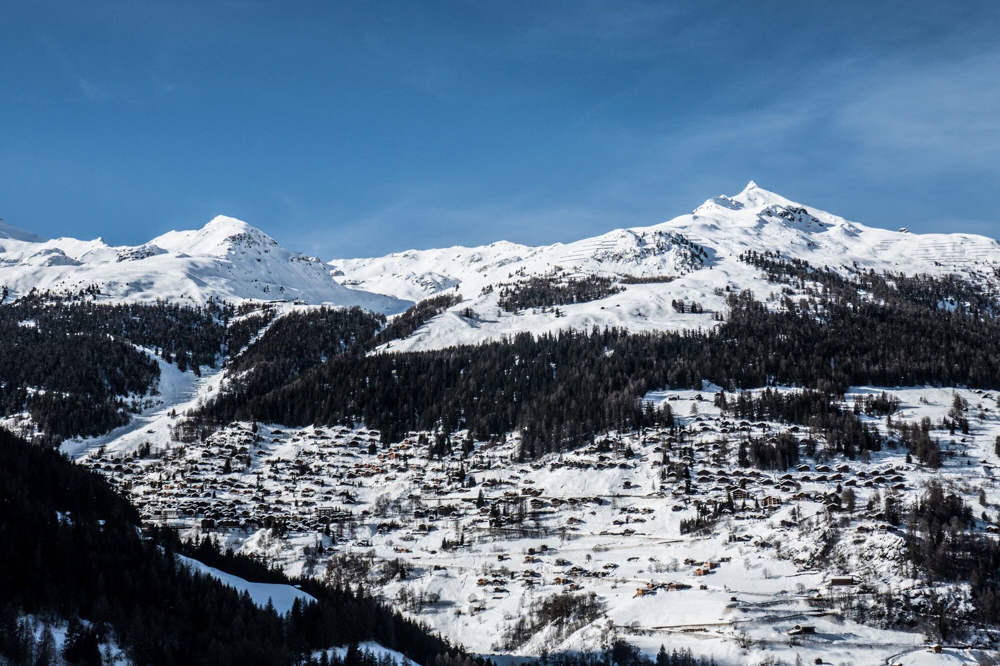
N°1 - This medium altitude path allows you to immerse deeply into the forest, with a beautiful view on St-Luc and Chandolin on the way out and a more alpine panorama on the way back, with the 4000-meter peaks in the background.
- Greutăţi
-
mediu
- Evaluare
-
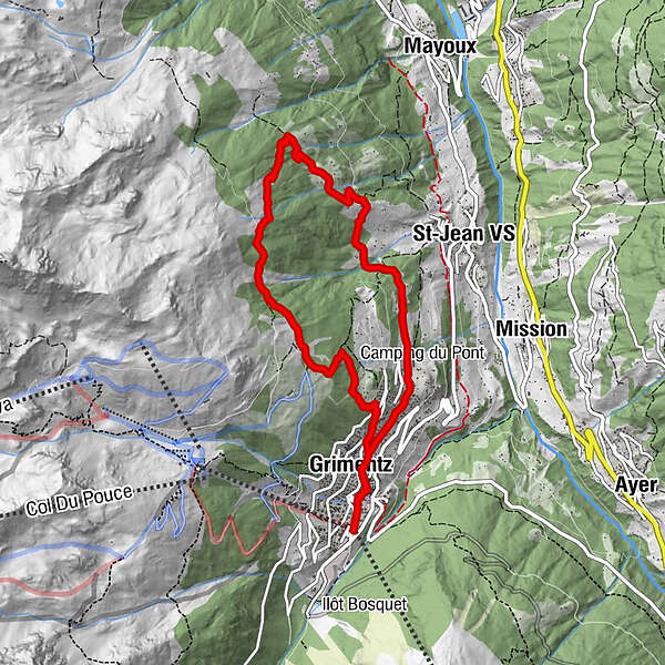
- Ruta
-
Grimentz (1.564 m)0,5 kmGrimentz (1.564 m)8,8 km
- Cel mai bun sezon
-
augsepoctnovdecianfebmaraprmaiiuniul
- Cel mai înalt punct
- 2.055 m
- Destinație
-
Grimentz
- Profil de elevație
-
 © outdooractive.com


-

-
AutorTurul Grimentz : Montagnetta Path n°1 este utilizat de outdooractive.com furnizat.
GPS Downloads


Informaţii generale
Promițător
Mai multe tururi în regiuni