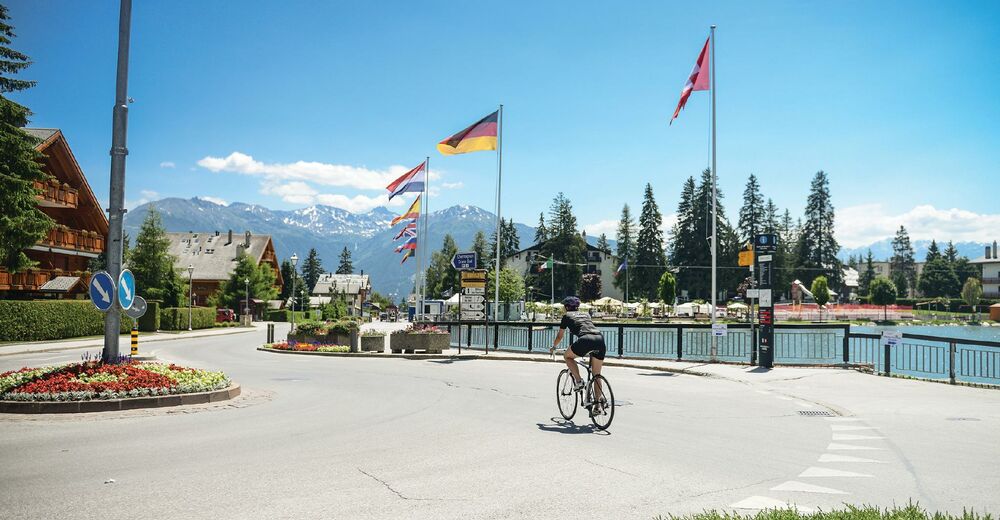
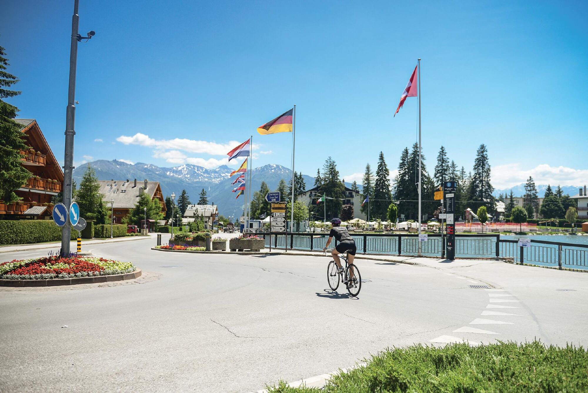
© Crans-Montana Tourisme & Congrès - Chételat Dylan

- Ruta
-
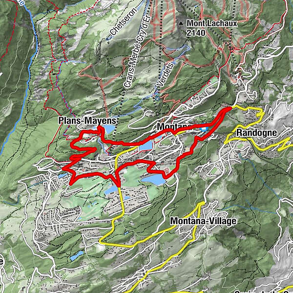
Montana (1.495 m)Plans-Mayens1,7 kmSaint-Christophe5,3 kmCrans (1.476 m)5,5 kmOrzière8,2 kmLa Comba8,5 kmClairmont8,6 kmMontana Gare (1.471 m)9,2 kmMontana (1.495 m)9,7 km
- Cel mai înalt punct
- 1.585 m
- Destinație
-
Montana Ycoor, Rue Louis Antille
- Profil de elevație
-
 © outdooractive.com
- Autor
-
Turul Around the small lakes of Crans-Montana este utilizat de outdooractive.com furnizat.
GPS Downloads


Mai multe tururi în regiuni
-
Thyon les Collons
118
-
Crans - Montana
89
-
Lens
34