© Michael Portmann - Zermatt Tourismus

© Michael Portmann - Zermatt Tourismus

© Michael Portmann - Zermatt Tourismus

- Scurtă descriere
-
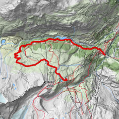
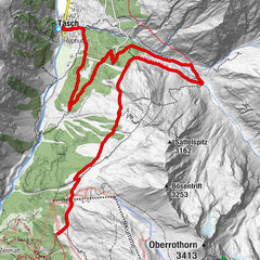
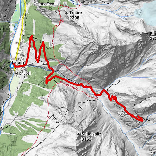
The ride up to Täschalp and deep into the valley begins with an ascent of the slopes above Täsch, mostly following small mountain roads. The climb is technically straightforward and boosts fitness.
- Greutăţi
-
greu
- Evaluare
-
- Ruta
-
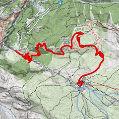
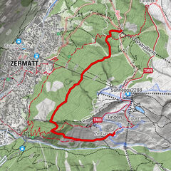
Restaurant Walliserkanne0,1 kmTäsch (1.449 m)0,2 kmEggenstadel4,4 kmTäschalp Restaurant & Lodge6,9 kmOttafe (2.205 m)7,1 kmTäschhütte (2.701 m)10,0 km
- Cel mai bun sezon
-
ianfebmaraprmaiiuniulaugsepoctnovdec
- Cel mai înalt punct
- 2.701 m
- Destinație
-
Täsch Hut (2,701 m)
- Profil de elevație
-
 © outdooractive.com


- Autor
-
Turul Täsch-Täsch Hut Bike Tour (Nr. 25) este utilizat de outdooractive.com furnizat.
GPS Downloads


Informaţii generale
Oprire pentru băuturi răcoritoare
Flora
Fauna
Promițător
Mai multe tururi în regiuni
-
Oberwallis
211
-
Mattertal
62
-
Täsch
37