

© Vorarlberg Tourismus GmbH - Dietmar Denger

© Vorarlberg Tourismus GmbH - Dietmar Denger

© Vorarlberg Tourismus GmbH - Dietmar Denger

© Alpenregion Bludenz Tourismus GmbH - Monika Bischof
- Scurtă descriere
-
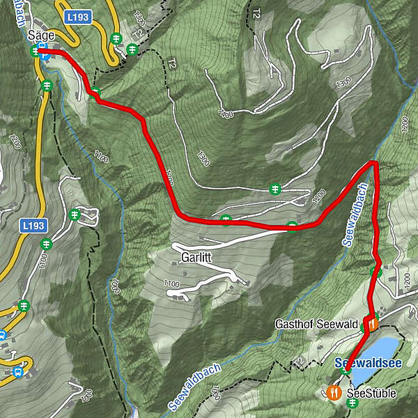
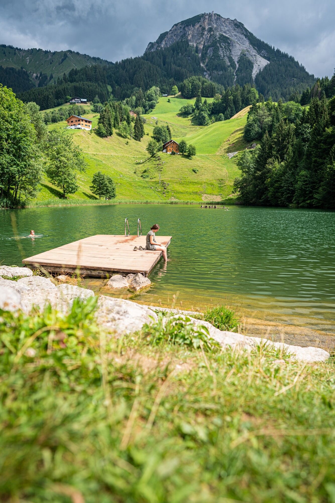
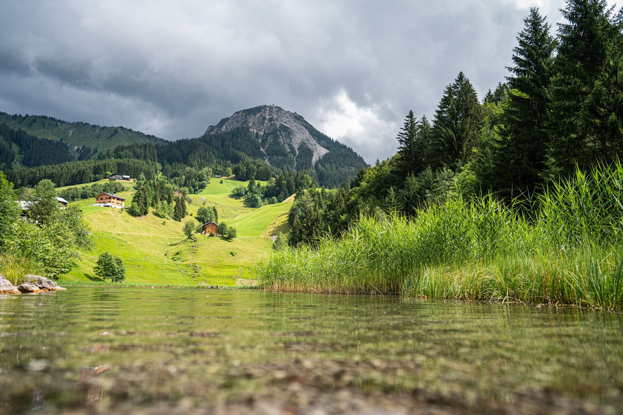
The hike to the Seewaldsee is eventful from spring to autumn in any weather and offers a wonderful panoramic view over the Grosse Walsertal.
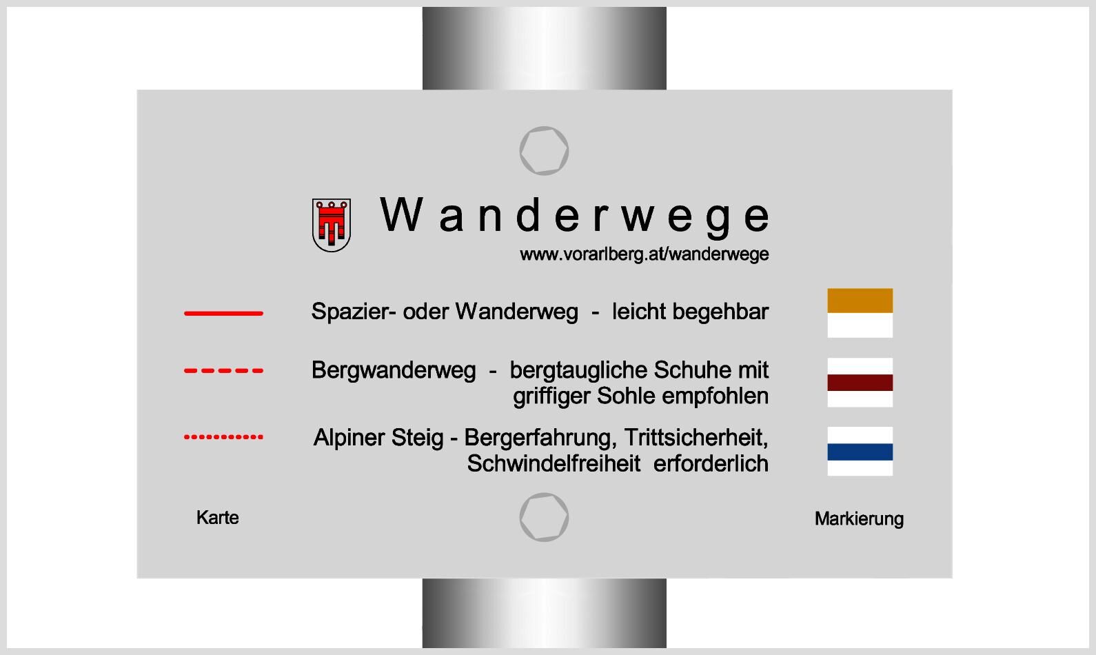
- Greutăţi
-
uşor
- Evaluare
-
- Ruta
-
Säge0,0 kmGasthof Seewald2,2 kmGarlitt3,3 kmSäge4,2 km
- Cel mai bun sezon
-
ianfebmaraprmaiiuniulaugsepoctnovdec
- Cel mai înalt punct
- 1.188 m
- Destinație
-
Seewaldsee, Fontanella
- Profil de elevație
-


- Autor
-
Turul To the Seewaldsee | Fontanella este utilizat de outdooractive.com furnizat.
GPS Downloads


Informaţii generale
Oprire pentru băuturi răcoritoare
Sfat din interior
Promițător
Mai multe tururi în regiuni


