


- Scurtă descriere
-
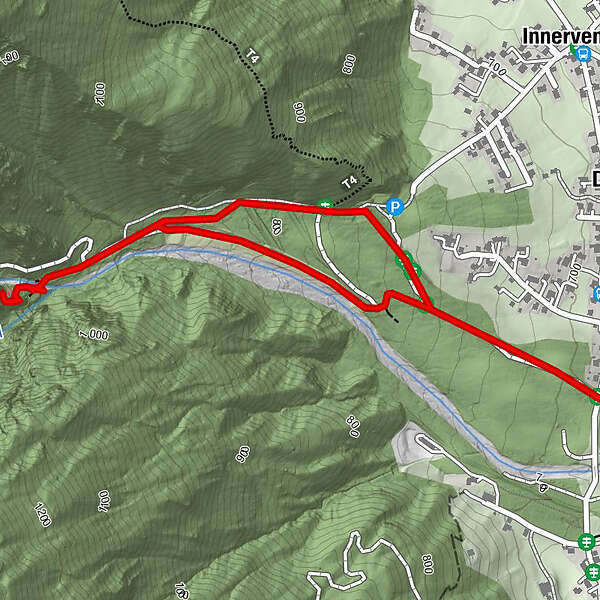
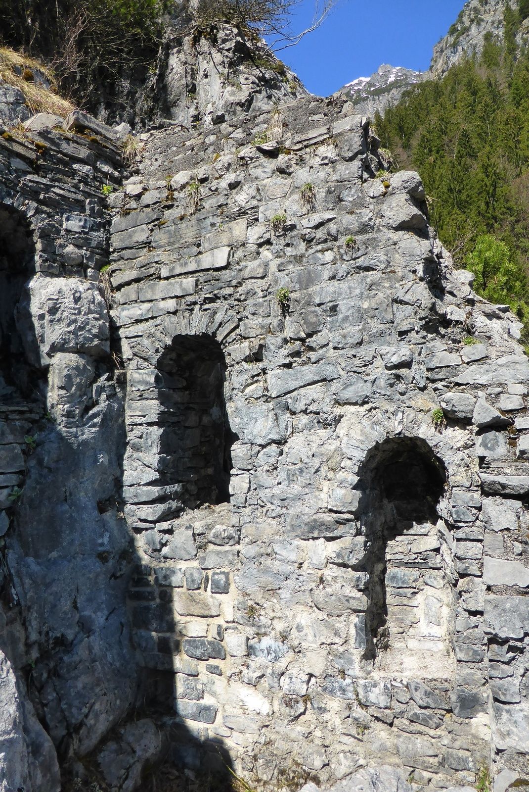
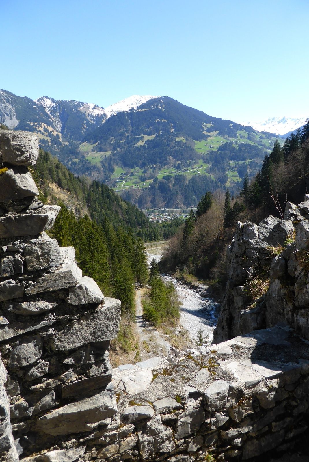
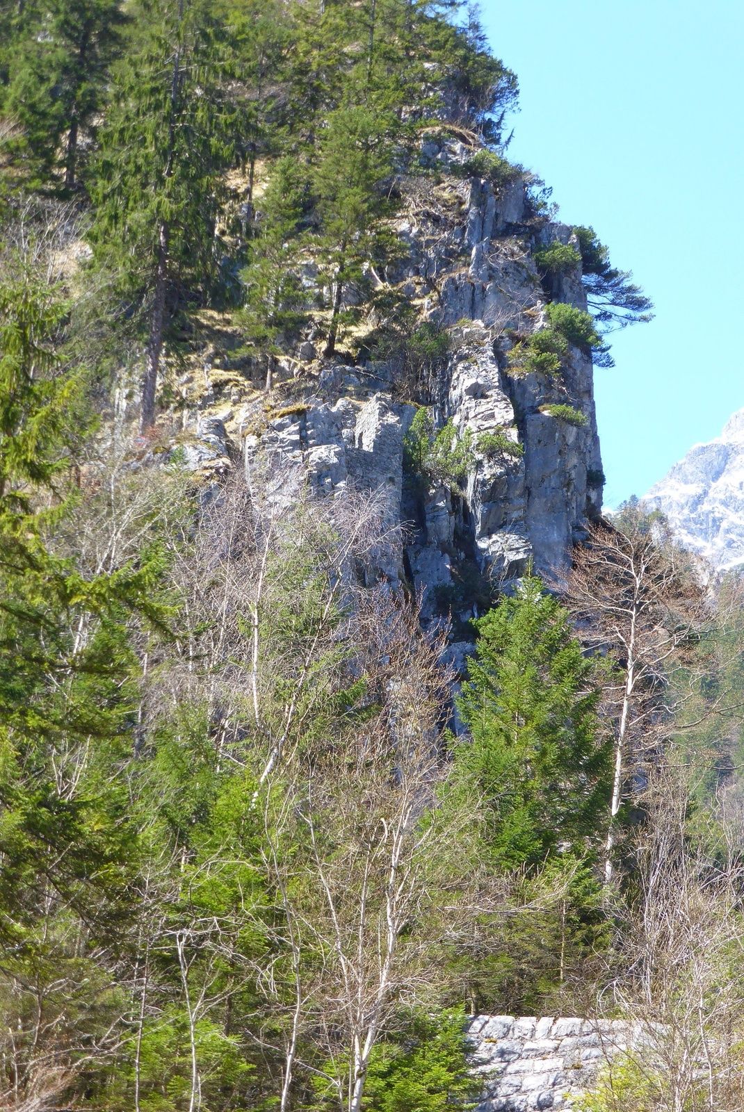
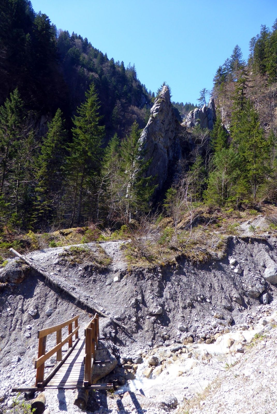
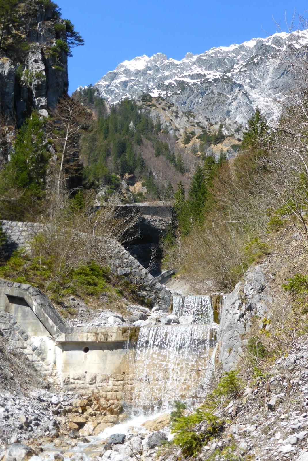
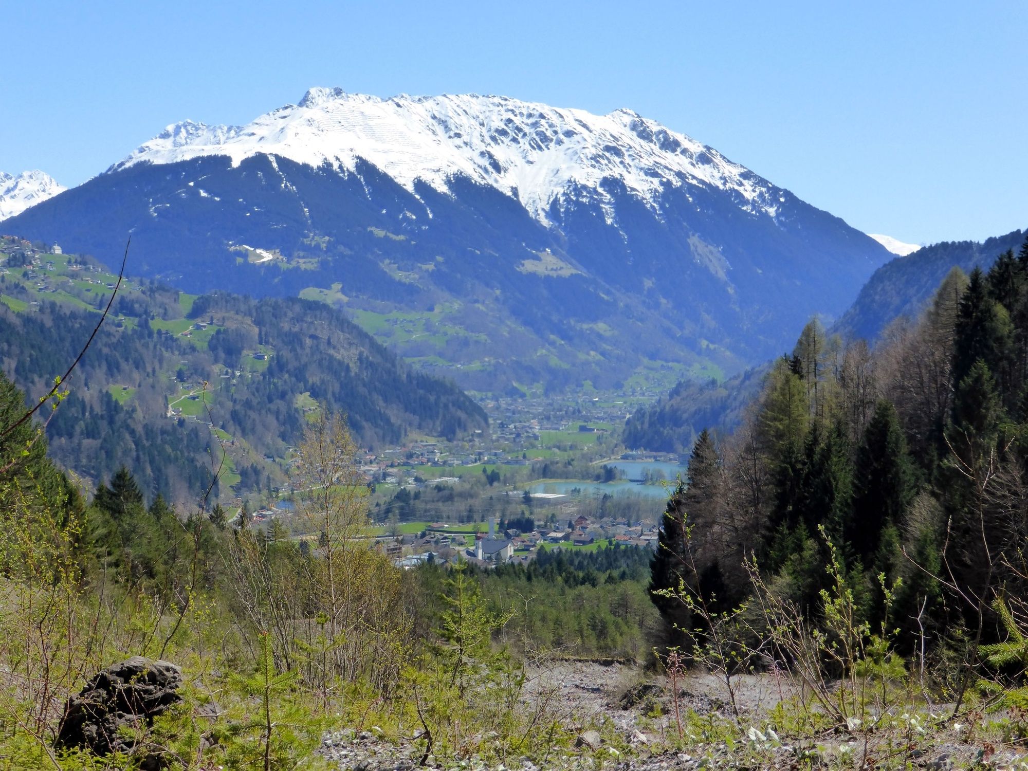
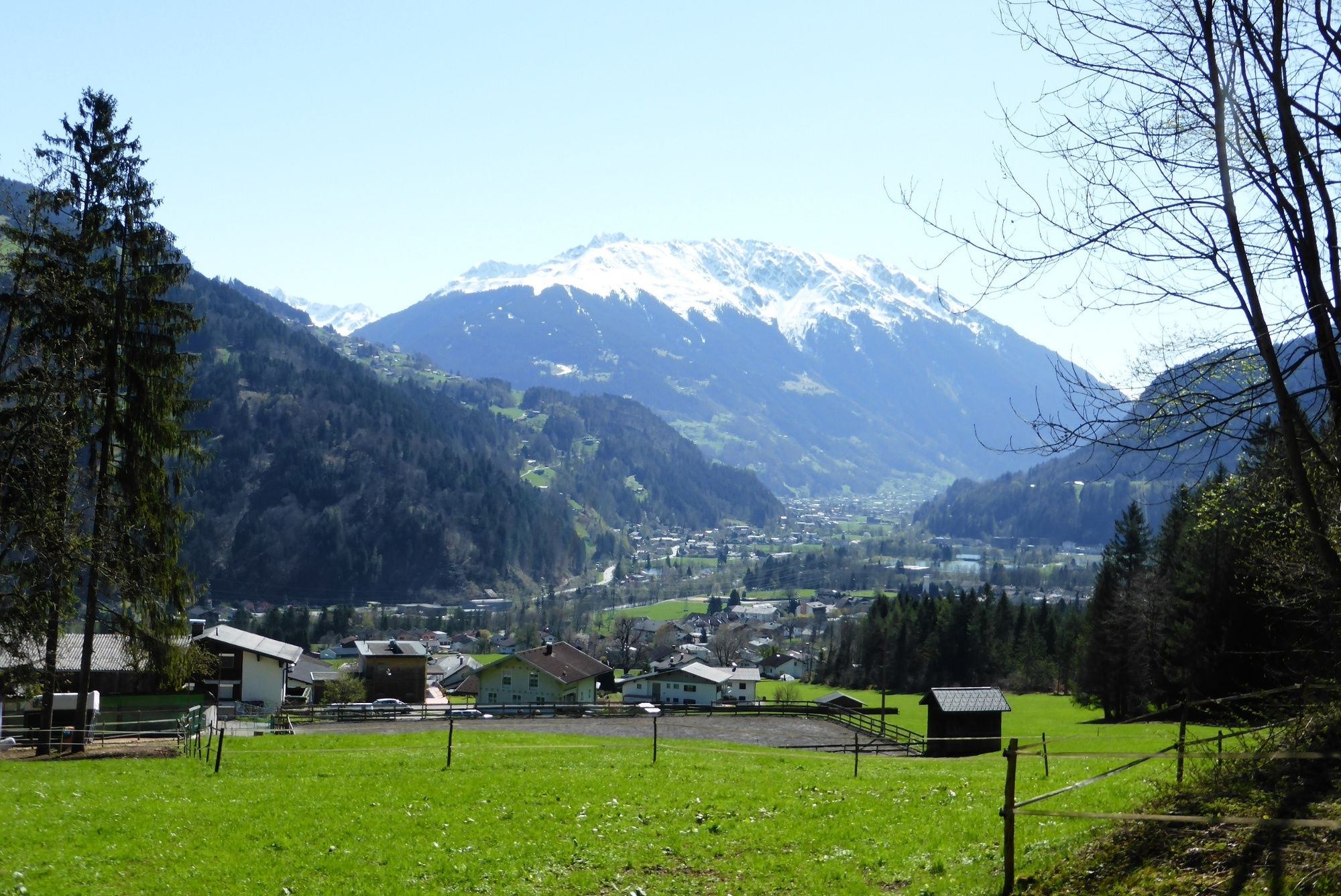
Vandans - Valkastielstrasse (nach Mustergielbrücke) - Wanderweg - Ruine Valkastiel und retour
- Greutăţi
-
mediu
- Evaluare
-
- Cel mai bun sezon
-
ianfebmaraprmaiiuniulaugsepoctnovdec
- Cel mai înalt punct
- 943 m
- Destinație
-
Valkastielstrasse (nach der Mustergielbrücke)
- Profil de elevație
-

-

-
AutorTurul Ruine Valkastiel este utilizat de outdooractive.com furnizat.
GPS Downloads


Informaţii generale
Cultural/Istoric
Promițător
Mai multe tururi în regiuni
-
Alpenstadt Bludenz
1848
-
Vandans
559


