

Informaţii pentru tur
10,1km
1.373
- 2.028m
304hm
708hm
04:00h
- Scurtă descriere
-
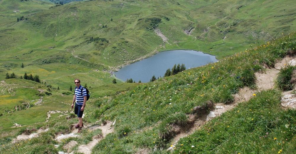
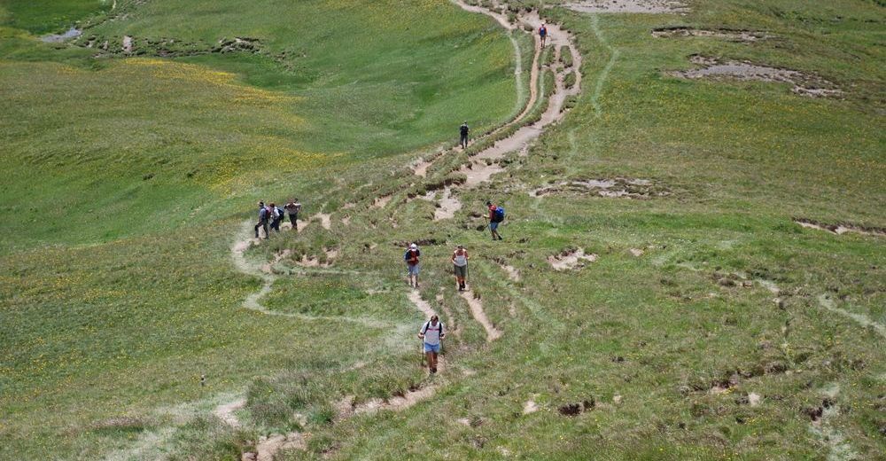
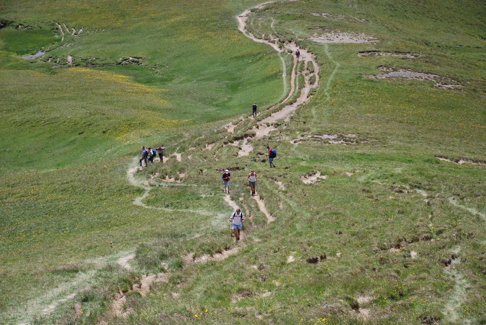
Tagestour für Wanderer mit durchschnittlicher Kondition.
- Greutăţi
-
mediu
- Evaluare
-
- Punct de pornire
-
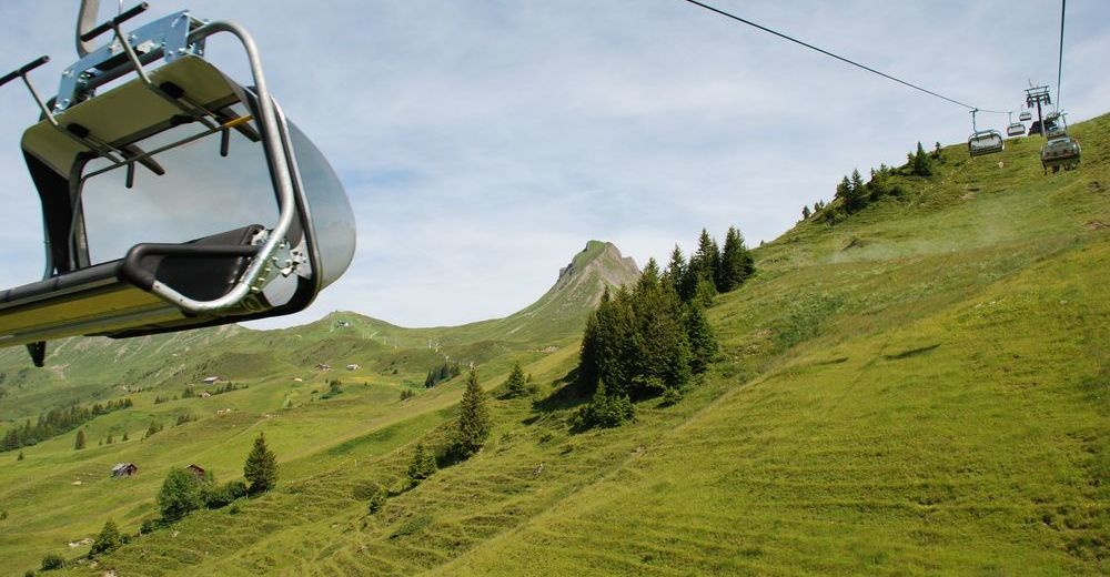
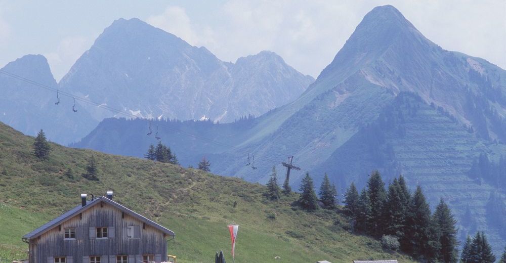
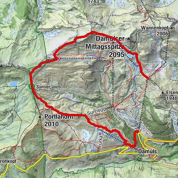
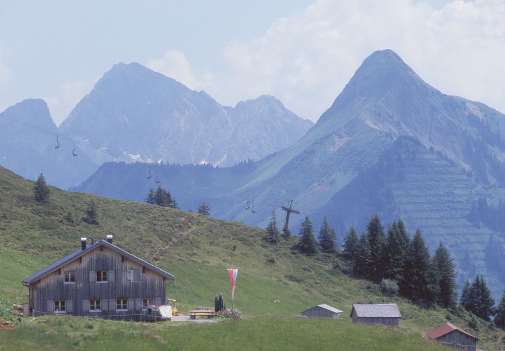
Seilbahnen Damüls - Bergstation Uga-Express
- Ruta
-
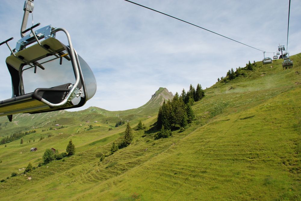
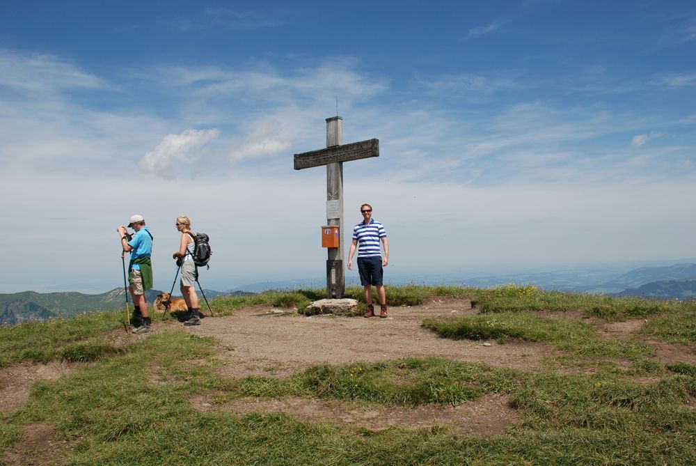
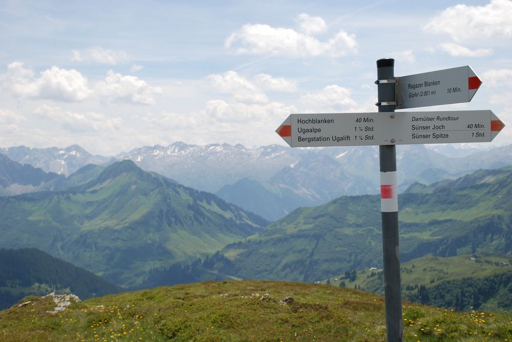
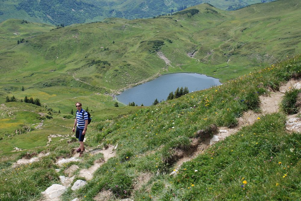
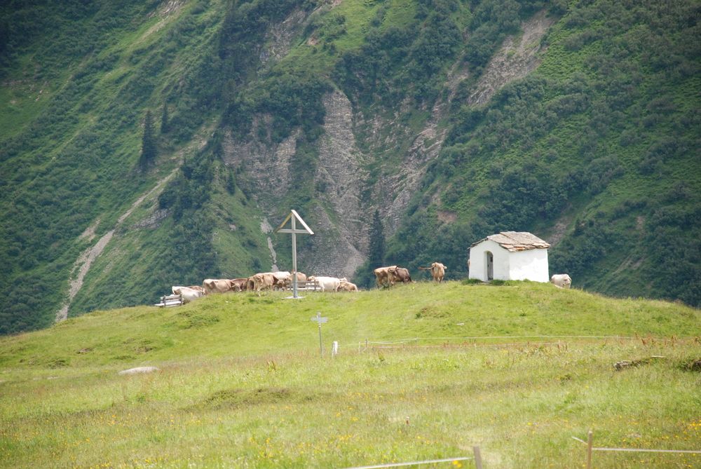
Vordere Ugaalpe0,2 kmUga Alp0,4 kmAlpe Uga0,5 kmHohes Licht (2.003 m)1,7 kmHochblanken (2.068 m)2,4 kmRagazer Blanken (2.051 m)4,3 kmDamüls (1.423 m)9,4 km
- Cel mai bun sezon
-
ianfebmaraprmaiiuniulaugsepoctnovdec
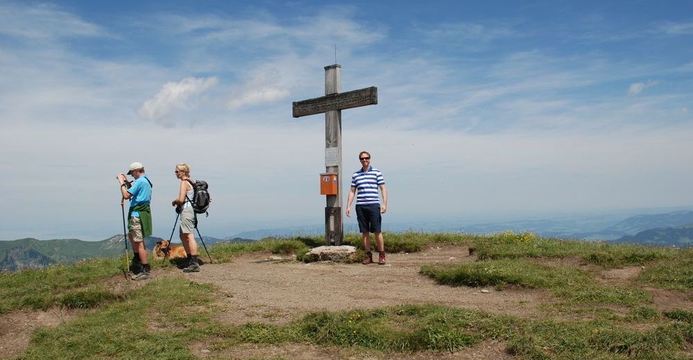
- Cel mai înalt punct
- 2.028 m
- Odihnă/Retragere
-
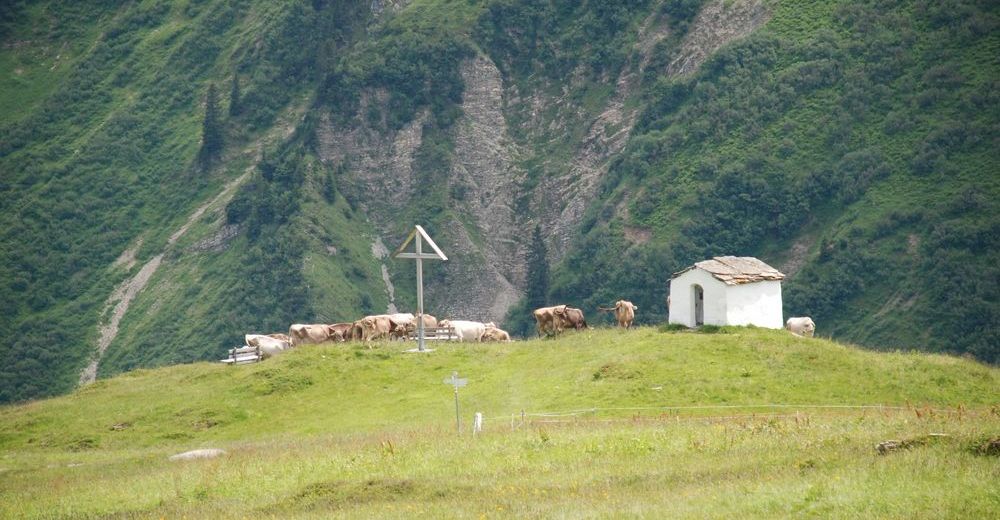
direkt bei der Uga Bergstation: Berggasthof Elsenalpstube und Berggasthof Uga Alp
am Ende der Tour: Alpe Oberdamüls und Hotel Alpenstern - Material pentru hartă
-
Damüls - Faschina Tourismus und Damülser Seilbahnen
GPS Downloads


Condiții de traseu
Asfalt
Pietriş/prundiş/grohotiş
Livadă/pajişte
Pădure
Stâncă
Expus
Mai multe tururi în regiuni
-
St. Gallen - Bodensee
2067
-
Biosphärenpark Großes Walsertal
2011
-
Damüls
578


