Schröcken | up to the highest point

Logo Schröcken | up to the highest point
Informaţii pentru tur
15,89km
1.252 - 2.622m
Distanz
1.433hm
1.412hm
Ascent
08:30h
 
Durata
Scurtă descriere

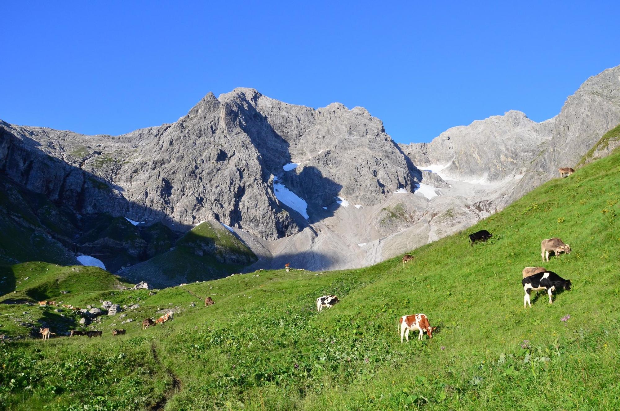
The Braunarlspitze is the highest mountain in the Bregenzerwald.

Greutăţi
greu
Evaluare
Tehnică
Condiţie
Peisaj
Experienţă
Ruta
Tannberg
Schröcken (1.269 m)
0,1 km
Materialseilbahn Körbersee
0,1 km
Fürggele (2.145 m)
5,0 km
Materialseilbahn Körbersee
15,7 km
Schröcken (1.269 m)
15,8 km
Tannberg
15,9 km

Cel mai bun sezon
ian
feb
mar
apr
mai
iun
iul
aug
sep
oct
nov
dec
Cel mai înalt punct
2.622 m
Destinație

Schröcken - centre of town

Profil de elevație

Autor
Turul Schröcken | up to the highest point este utilizat de outdooractive.com furnizat.

Evaluarea generală

5

0

%

4

0

%

3

0

%

2

0

%

1

0

%

Eroare
S-a produs o eroare. Vă rugăm să încercați din nou.
Vă mulțumim pentru recenzia dvs.

Ratingul a fost șters

GPS Downloads
  • GPX GPS Exchange Format (XML)
  • KML Google Earth, Google Maps
Coduri de descărcare QR pentru telefoane mobile

Informaţii generale

Promițător
Mai multe tururi în regiuni

Tururi populare în zonă

Hiking around the lake Spullersee

uşor
5,58km | 183hm | 01:56h

Braunarlspitze

greu
16,57km | 1430hm | 08:00h

Faschina | Rund um's Zafernhorn

mediu
10,09km | 634hm | 04:15h