
© Bodensee-Vorarlberg Tourismus GmbH - Laterns Tourismus
© Bodensee-Vorarlberg Tourismus GmbH - Laterns Tourismus, Dietmar Breuß
© Bodensee-Vorarlberg Tourismus GmbH - Laterns Tourismus

© Bodensee-Vorarlberg Tourismus GmbH - Laterns Tourismus
© Bodensee-Vorarlberg Tourismus GmbH - Laterns Tourismus

- Scurtă descriere
-
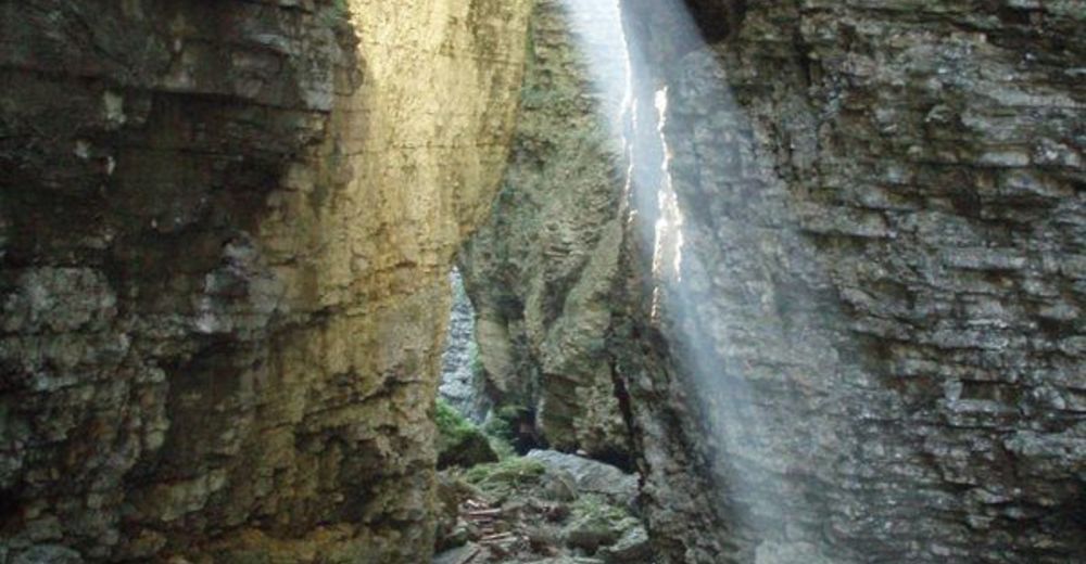
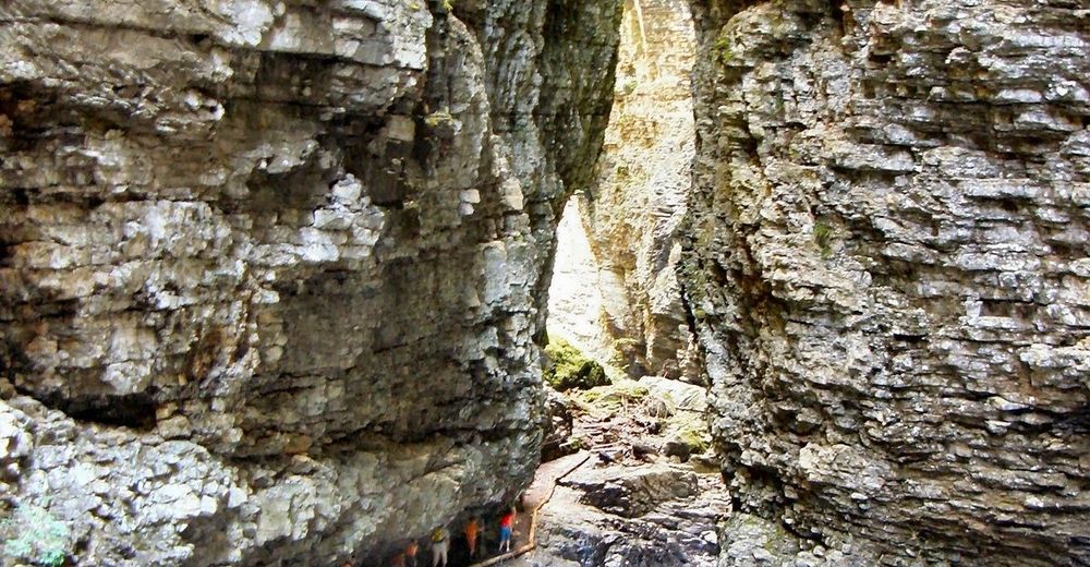
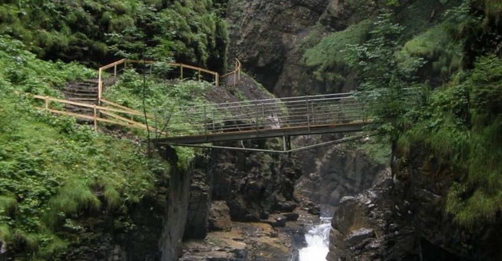
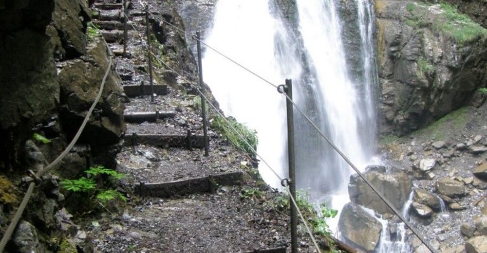
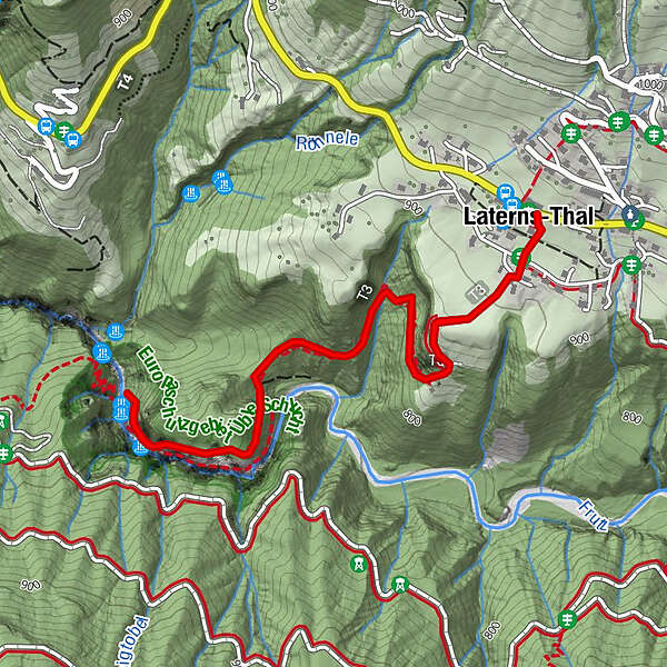
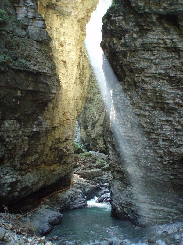
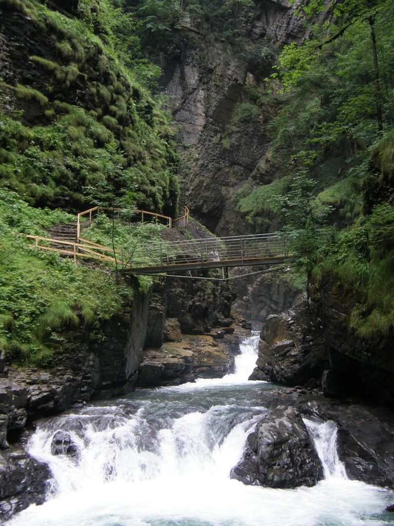
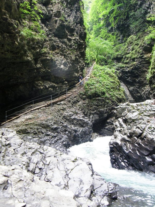
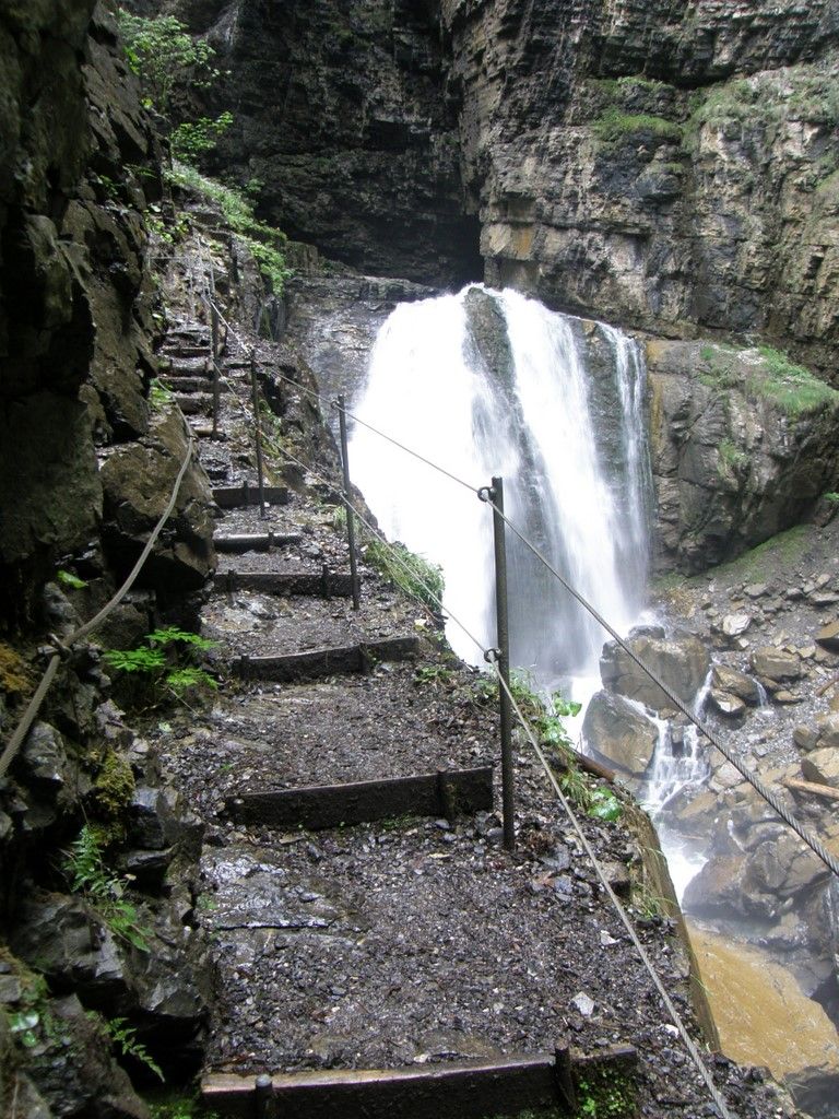
Eine beeindruckende Schluchtwanderung im Flußtal der Frutz.
- Greutăţi
-
mediu
- Evaluare
-
- Ruta
-
Hl. Nikolaus0,0 kmLaterns-Thal0,0 km
- Cel mai bun sezon
-
ianfebmaraprmaiiuniulaugsepoctnovdec
- Cel mai înalt punct
- 922 m
- Destinație
-
Laterns-Thal
- Profil de elevație
-


-

-
AutorTurul Wanderung durch die Üble Schlucht in Laterns este utilizat de outdooractive.com furnizat.
GPS Downloads


Informaţii generale
Oprire pentru băuturi răcoritoare
Mai multe tururi în regiuni
-
St. Gallen - Bodensee
2067
-
Alpenregion Vorarlberg
1773
-
Übersaxen
342


