
© Lech Zürs Tourismus GmbH - Lech Zuers Tourismus GmbH


- Scurtă descriere
-
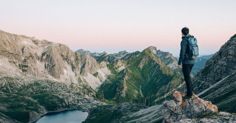
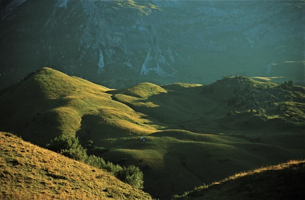
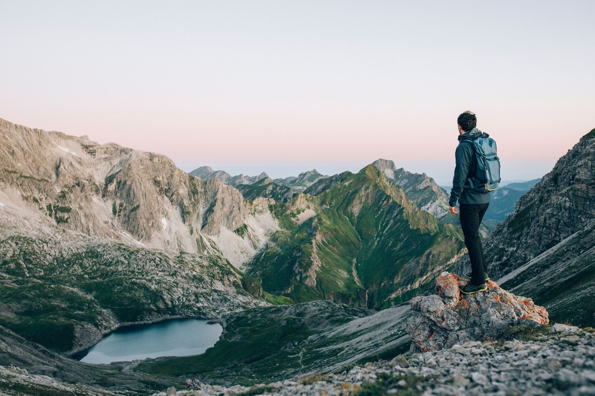
This hike is particularly rewarding when undertaken at sunrise. You can enjoy the first rays of sunlight of the new day across dewy, steaming pastures looking towards the peak.
- Greutăţi
-
greu
- Evaluare
-
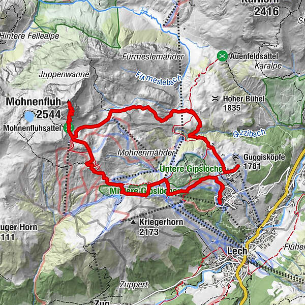
- Ruta
-
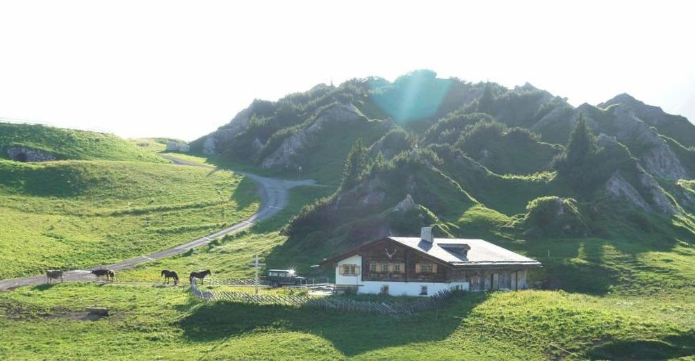
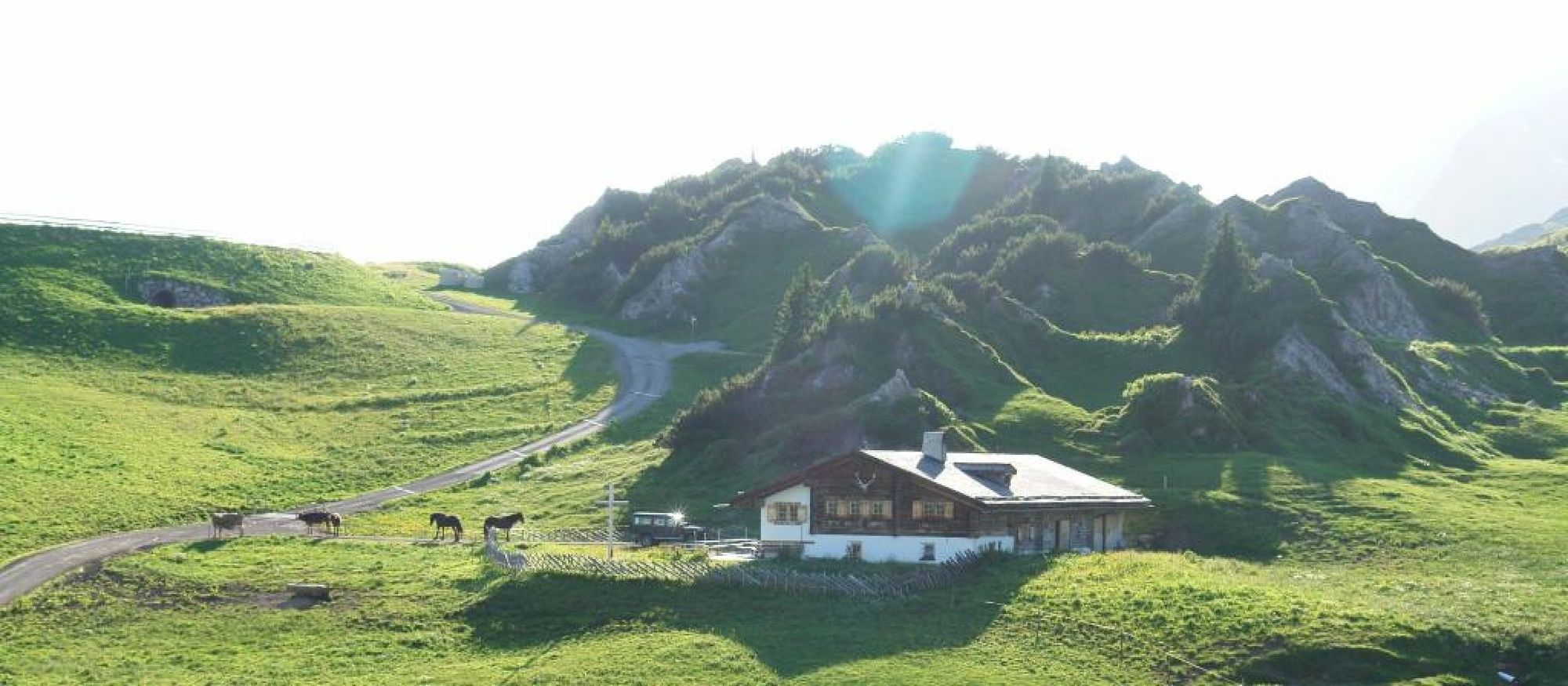
Mohnenfluh (2.544 m)5,6 kmKriegeralpe8,4 kmDer Wolf9,1 kmWeibermahdbahn9,2 kmOberlech10,8 kmBergbahn Lech - Oberlech11,0 km
- Cel mai bun sezon
-
ianfebmaraprmaiiuniulaugsepoctnovdec
- Cel mai înalt punct
- 2.525 m
- Destinație
-
Ortsteil Oberlech
- Profil de elevație
-

-

-
AutorTurul Mohnenfluh este utilizat de outdooractive.com furnizat.
GPS Downloads


Informaţii generale
Oprire pentru băuturi răcoritoare
Promițător
Mai multe tururi în regiuni


