© Alpenregion Bludenz Tourismus GmbH - Monika Bischof

© Vorarlberg Tourismus GmbH
- Scurtă descriere
-
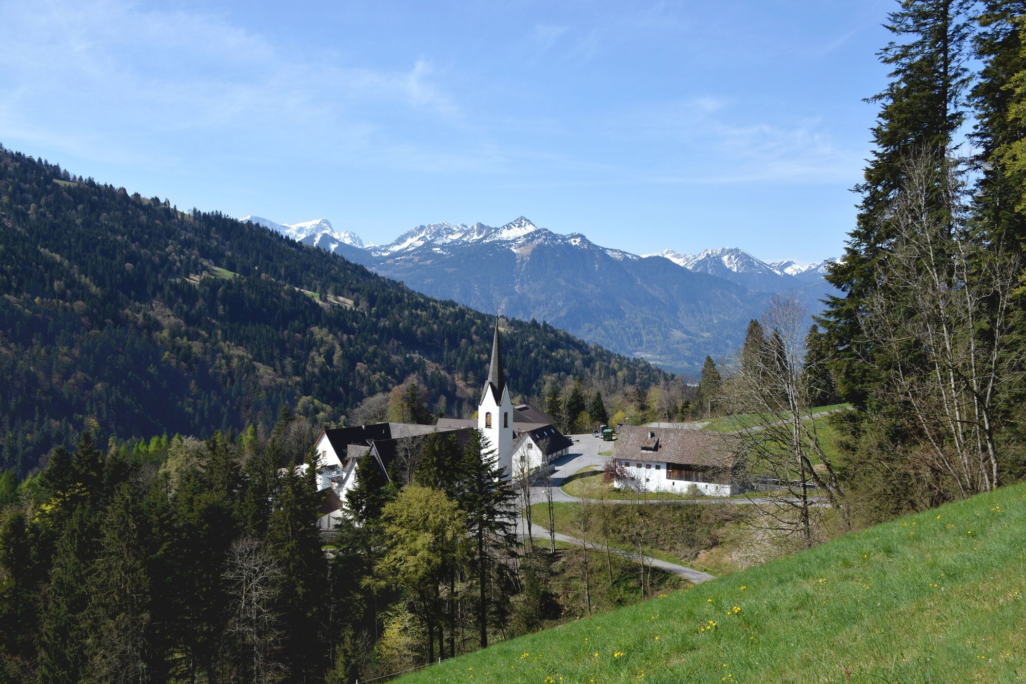
In earlier times, when there were no roads in the Grosses Walsertal, the individual villages were only connected by footpaths. Today, these footpaths form the historic Walserweg.
- Greutăţi
-
greu
- Evaluare
-
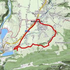
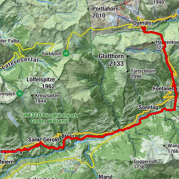
- Ruta
-
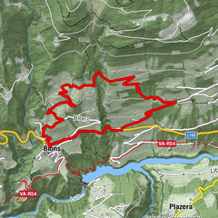
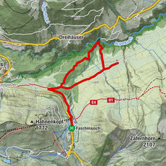
Gasthaus SonneThüringerberg0,2 kmSt. Gerold2,9 kmKlosterkeller3,3 kmPfarrkirche St. Mariä Empfängnis5,4 kmFalva5,5 kmBlons5,6 kmAdler5,6 kmGarsella9,1 kmSonntag (888 m)11,3 kmFontanella (1.145 m)14,9 kmSäge15,5 kmFaschina17,9 kmDamüls (1.423 m)19,9 km
- Cel mai bun sezon
-
ianfebmaraprmaiiuniulaugsepoctnovdec
- Cel mai înalt punct
- 1.485 m
- Destinație
-
Damüls
- Profil de elevație
-


- Autor
-
Turul Walserweg | Thüringerberg - Damüls este utilizat de outdooractive.com furnizat.
GPS Downloads


Informaţii generale
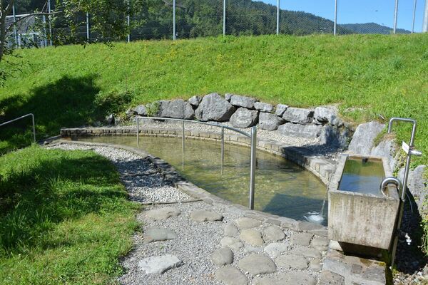
Oprire pentru băuturi răcoritoare
Cultural/Istoric
Promițător
Mai multe tururi în regiuni