© La via delle PREALPI - Editor - la Via delle PREALPI
© La via delle PREALPI - Editor - la Via delle PREALPI
© La via delle PREALPI - Editor - la Via delle PREALPI
© La via delle PREALPI - Editor - la Via delle PREALPI

- Scurtă descriere
-
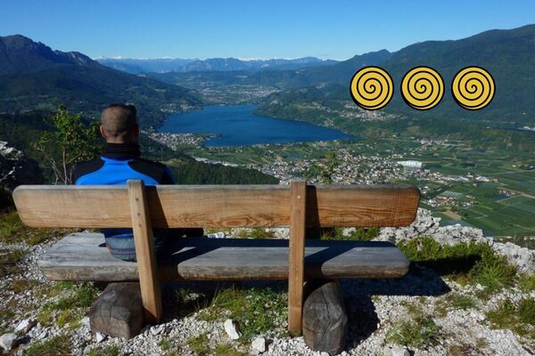
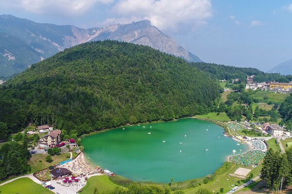
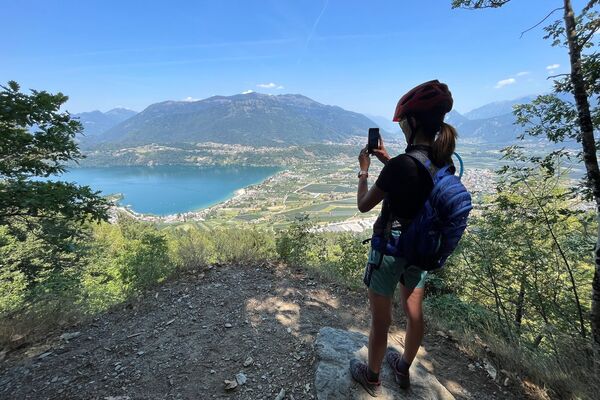
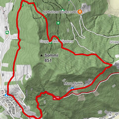
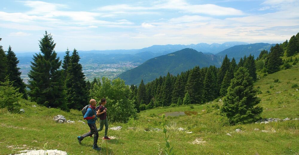
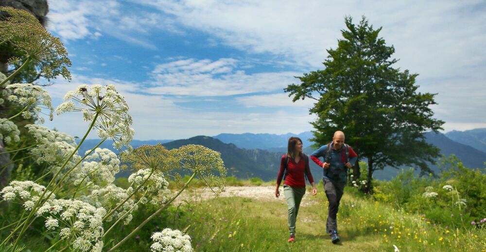
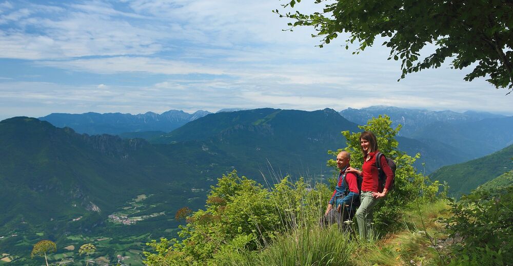
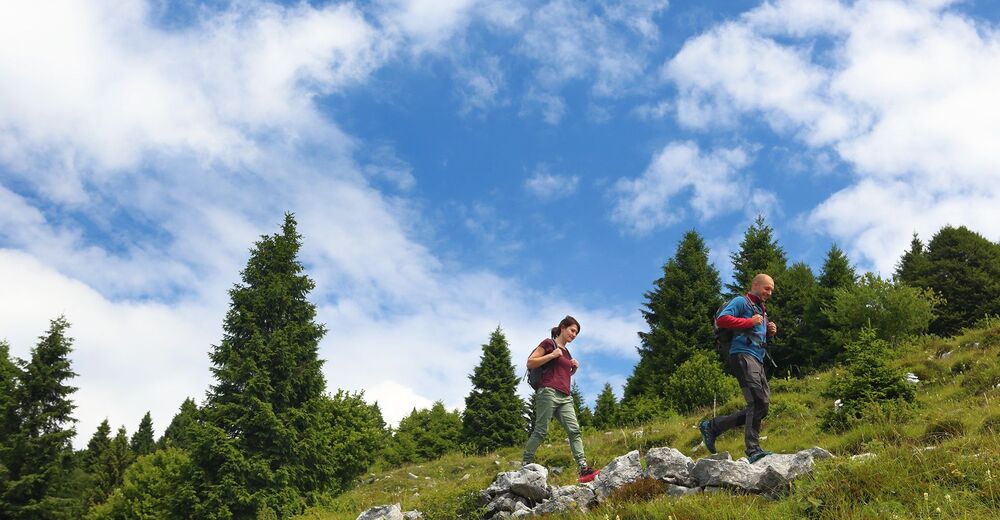
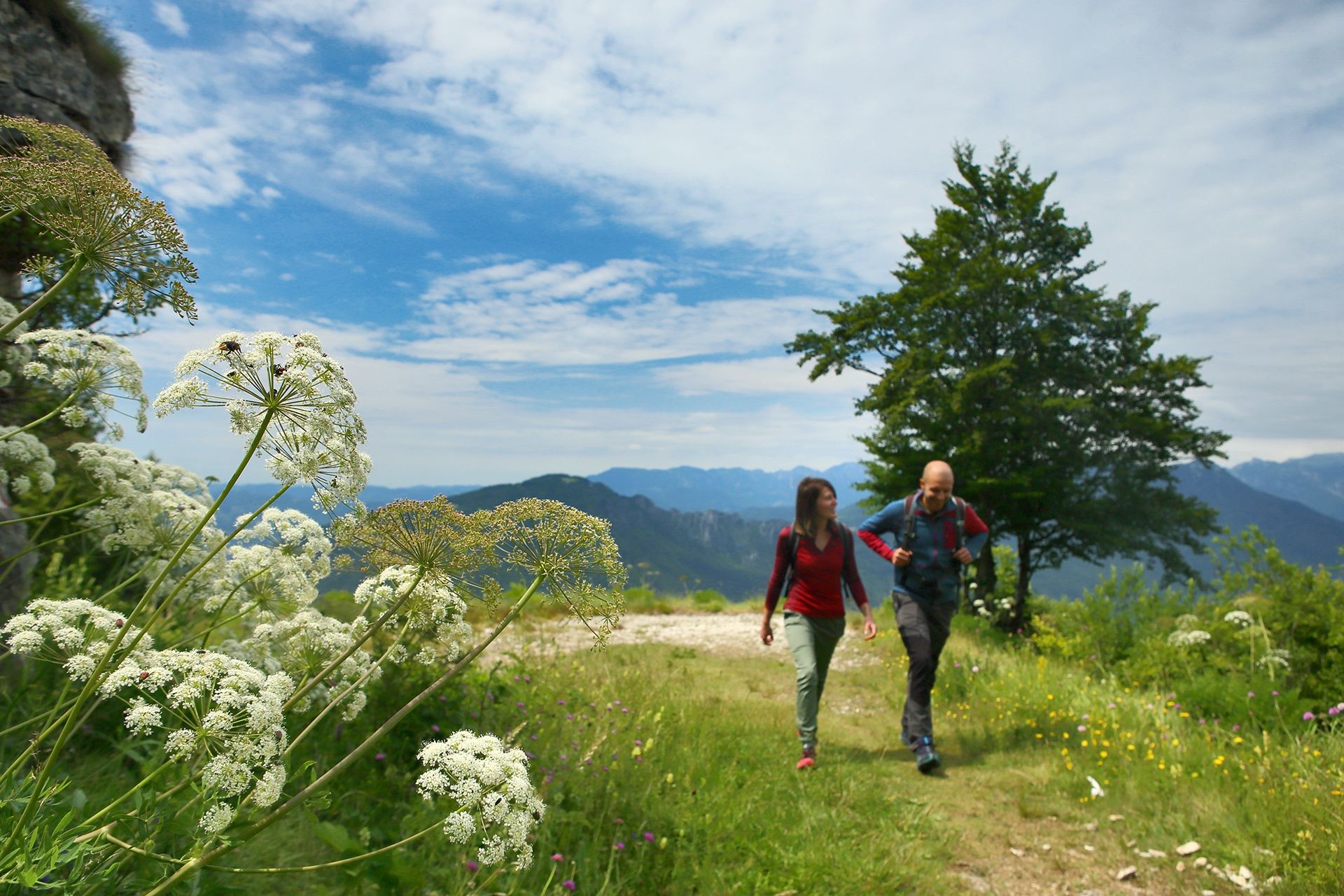
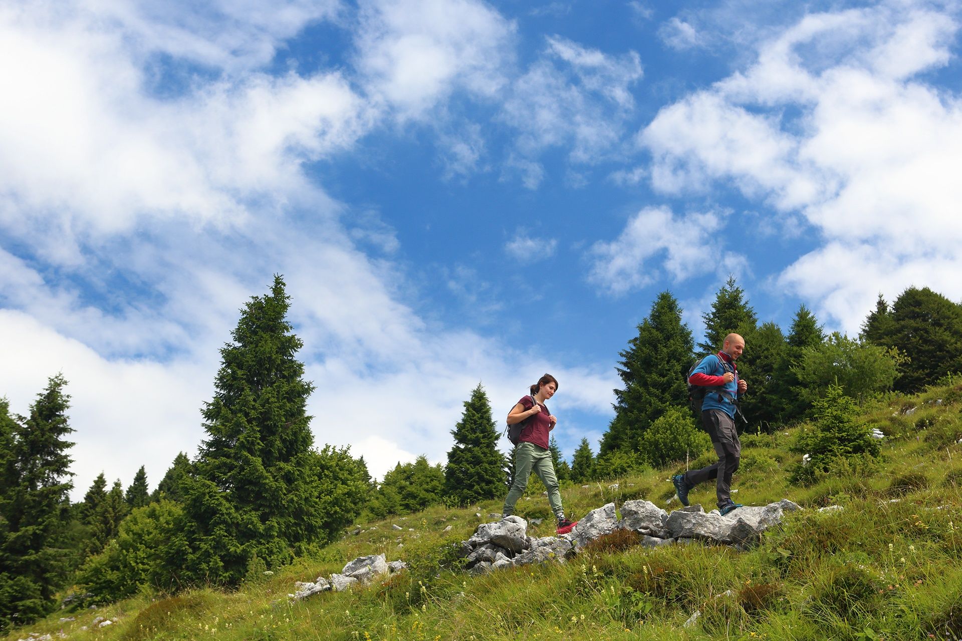
This ring-route on dirt roads and wide tracks will make you enjoy the breathtaking panorama of the Veneto plain, taste the alpine products of the many mountain huts and contemplate the silence of the woods of the Asiago Plateau.
- Greutăţi
-
mediu
- Evaluare
-
- Ruta
-
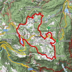
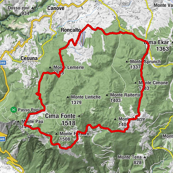
Bocchetta Granezza0,0 kmRifugio Monte Corno0,0 kmCasello del guardia0,7 kmQuattro Strade1,9 kmVasche di Sùnio (1.360 m)8,2 kmMonte Cucco (1.352 m)8,8 kmVal Magnaboschi13,3 kmRoncalto18,5 kmLa Terrazza Casa Rossa19,6 kmLa Tana Gourmet19,7 kmMadonna della Neve20,4 kmPoslen21,0 kmSan Sisto22,2 kmBivio Lucca23,1 kmTurcio24,7 kmTurcio s.n.c.24,8 kmValle Granezza di Gallio28,5 kmMalga Monte Corno (1.327 m)30,2 kmRifugio Monte Corno30,6 kmBocchetta Granezza30,7 km
- Cel mai bun sezon
-
ianfebmaraprmaiiuniulaugsepoctnovdec
- Cel mai înalt punct
- 1.364 m
- Destinație
-
Rifugio Monte Corno, Lusiana, (VI)
- Profil de elevație
-
 © outdooractive.com


- Autor
-
Turul Hiking through the alpine huts of Asiago este utilizat de outdooractive.com furnizat.
GPS Downloads


Informaţii generale
Oprire pentru băuturi răcoritoare
Cultural/Istoric
Flora
Fauna
Promițător
Mai multe tururi în regiuni
-
Vicenza
307
-
Altopiano di Asiago 7 Comuni
345