© Parco Regionale dei Colli Euganei

© Parco Regionale dei Colli Euganei

© Parco Regionale dei Colli Euganei

© Parco Regionale dei Colli Euganei
- Scurtă descriere
-
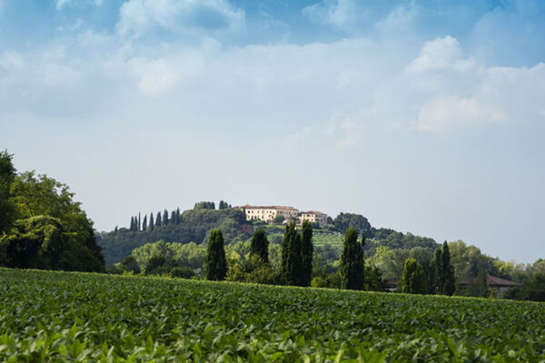
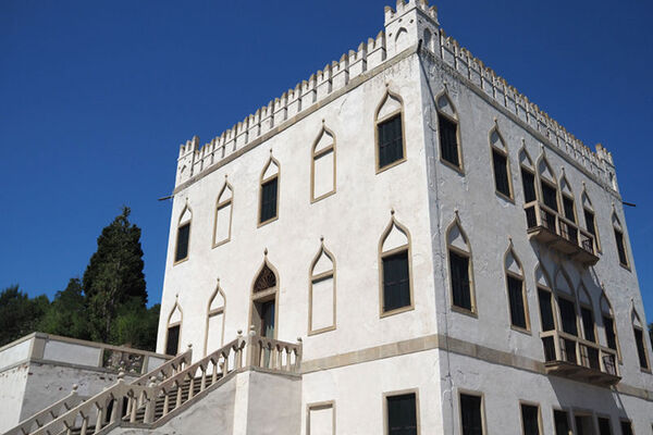
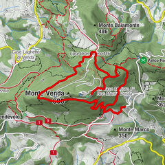
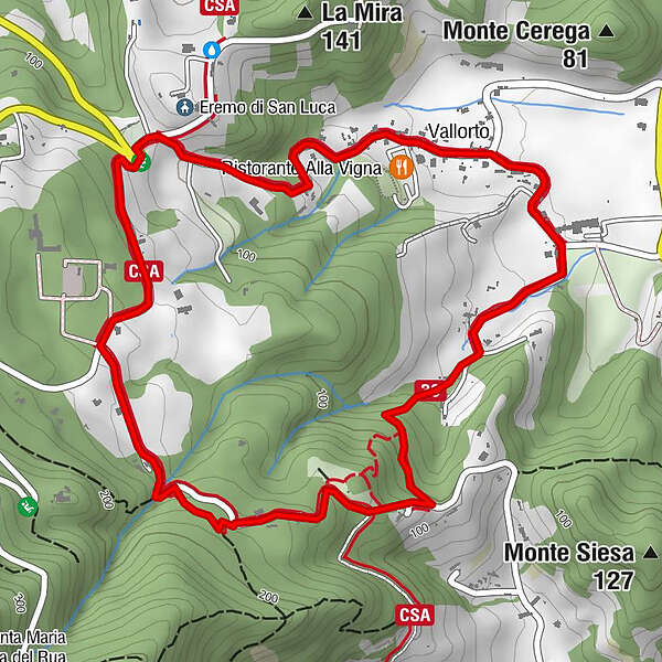
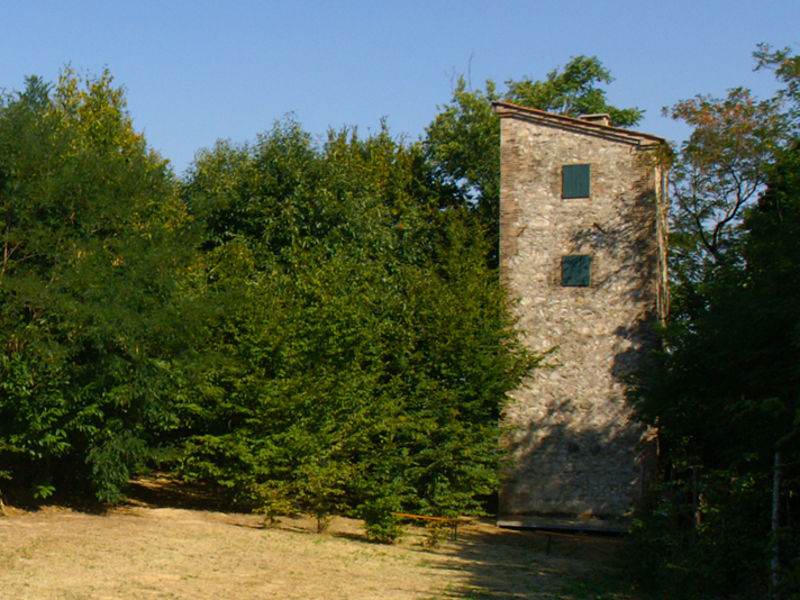
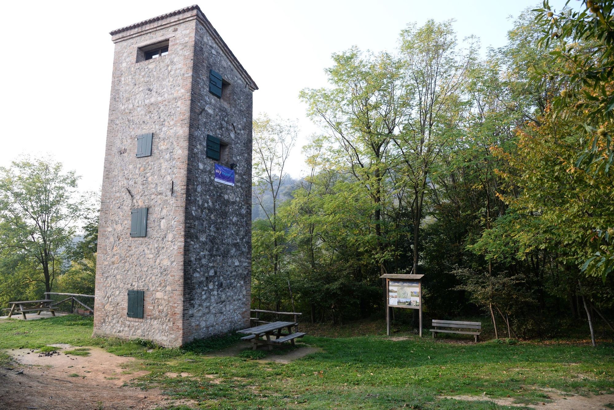
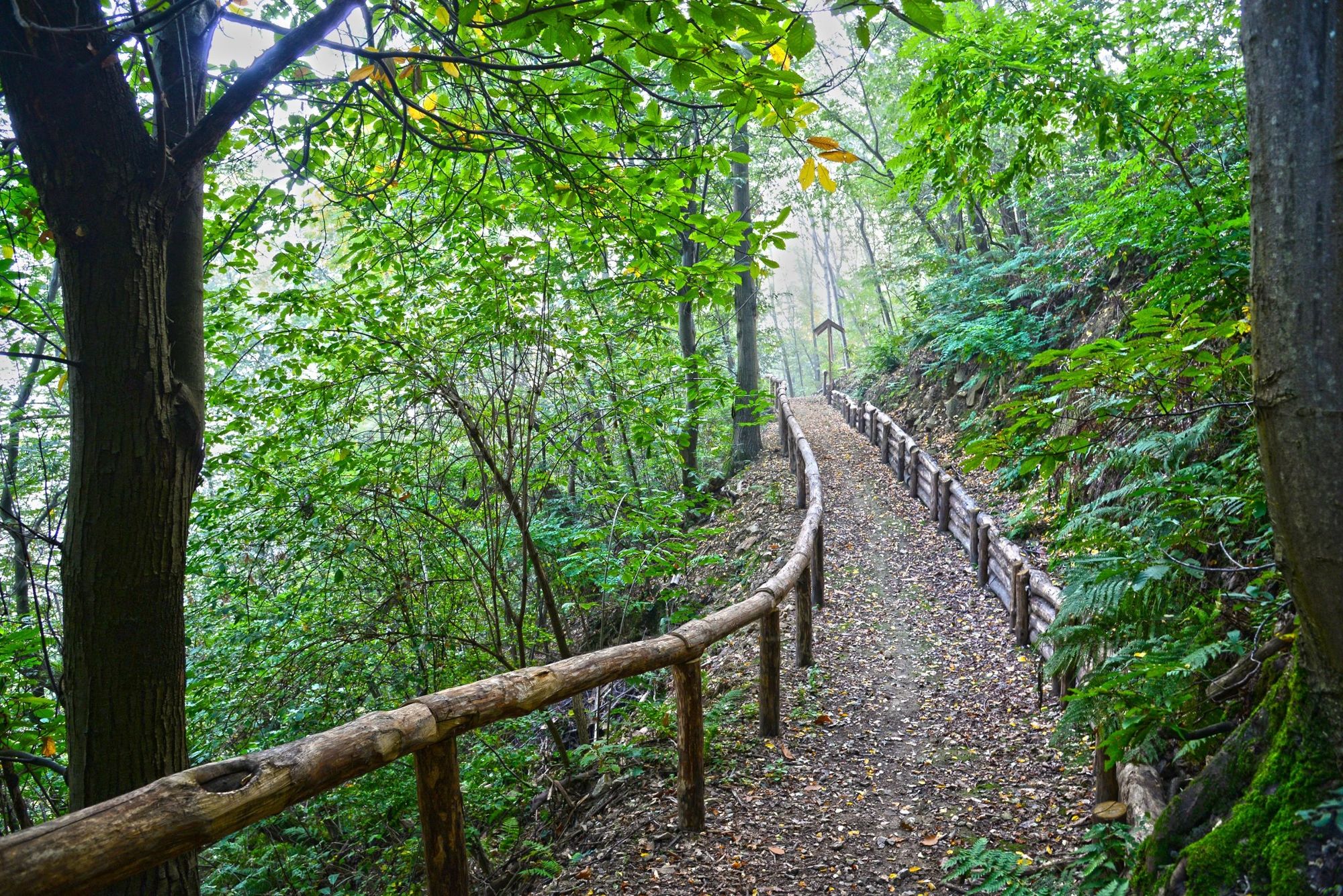
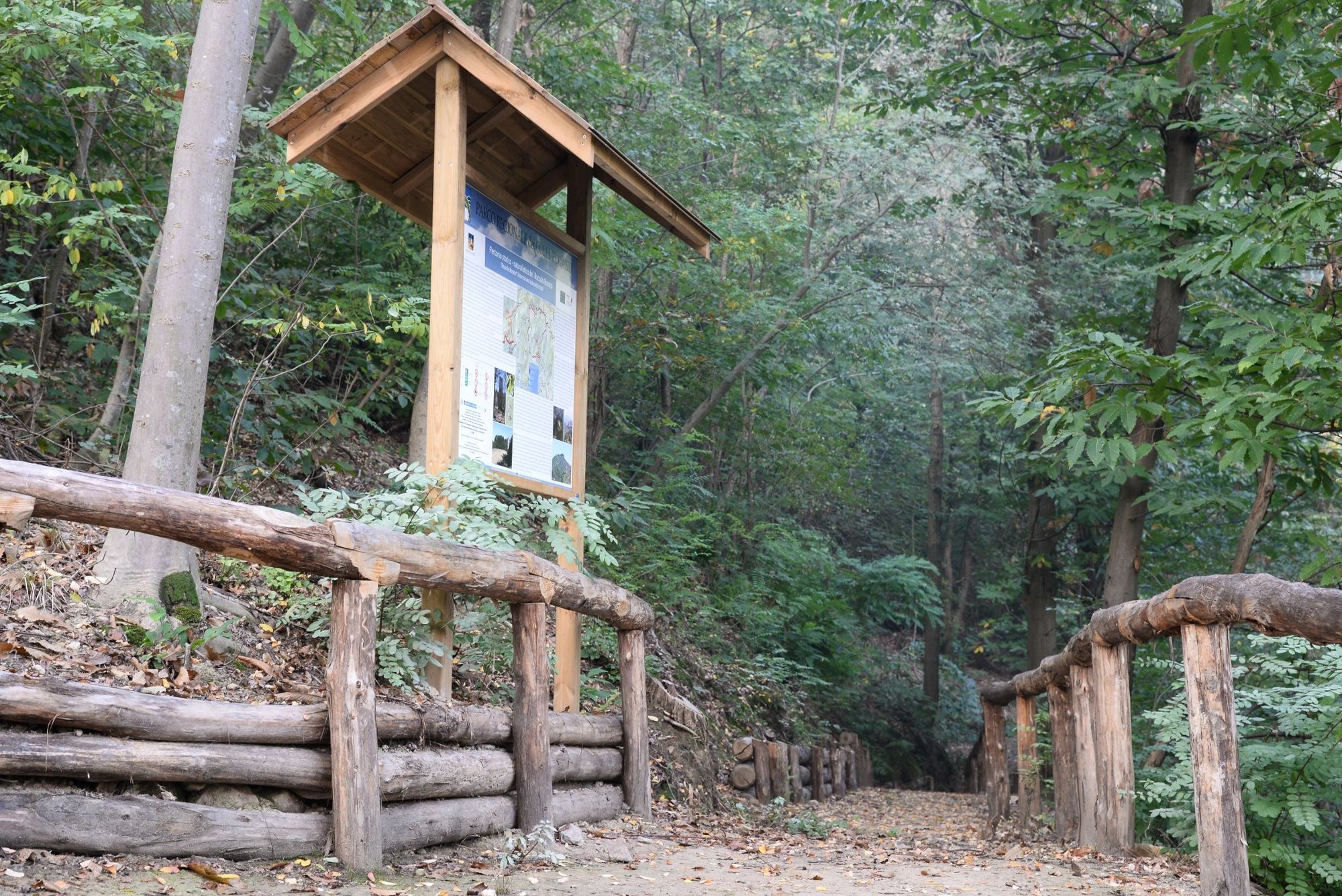
Roccolo Bonato is situated in the municipality of Torreglia, in the Pianzio valley at the border with the municipality of Galzignano Terme, and stands as the last vestige of an activity which, until recently, was very common in the Euganian Hills.
- Greutăţi
-
mediu
- Evaluare
-
- Ruta
-
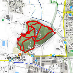
Vallorto2,7 km
- Cel mai bun sezon
-
ianfebmaraprmaiiuniulaugsepoctnovdec
- Cel mai înalt punct
- 179 m
- Destinație
-
Church of San Sabino, Torreglia
- Profil de elevație
-
 © outdooractive.com
- Autor
-
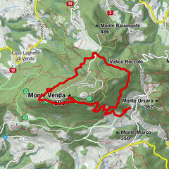
Turul Historical and naturalistic trail “Roccolo Bonato” nr. 30 este utilizat de outdooractive.com furnizat.
GPS Downloads


Informaţii generale
Cultural/Istoric
Flora
Fauna
Promițător
Mai multe tururi în regiuni
-
Padua
108