© Hotel CYPRIANERHOF - Cyprianerhof Dolomit Resort
© Hotel CYPRIANERHOF - Cyprianerhof Dolomit Resort
© Hotel CYPRIANERHOF - Cyprianerhof Dolomit Resort

- Scurtă descriere
-
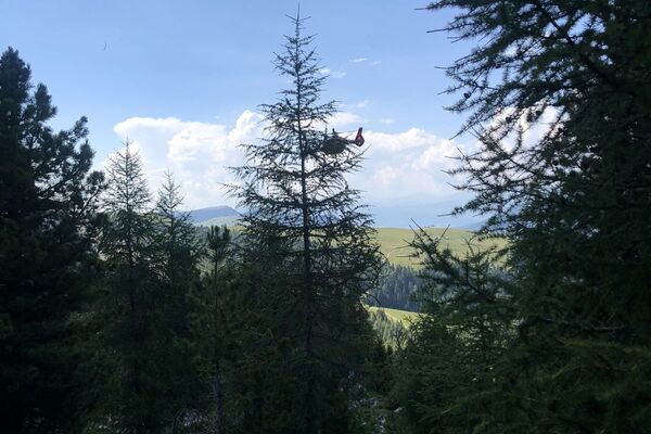
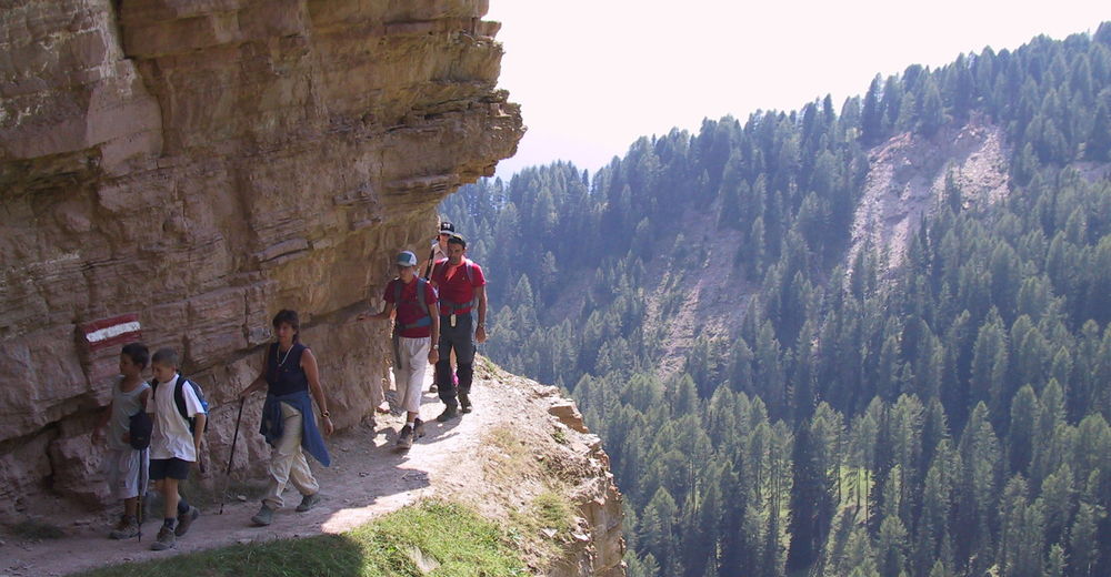
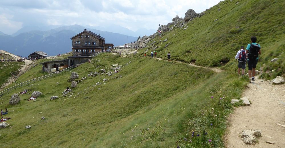
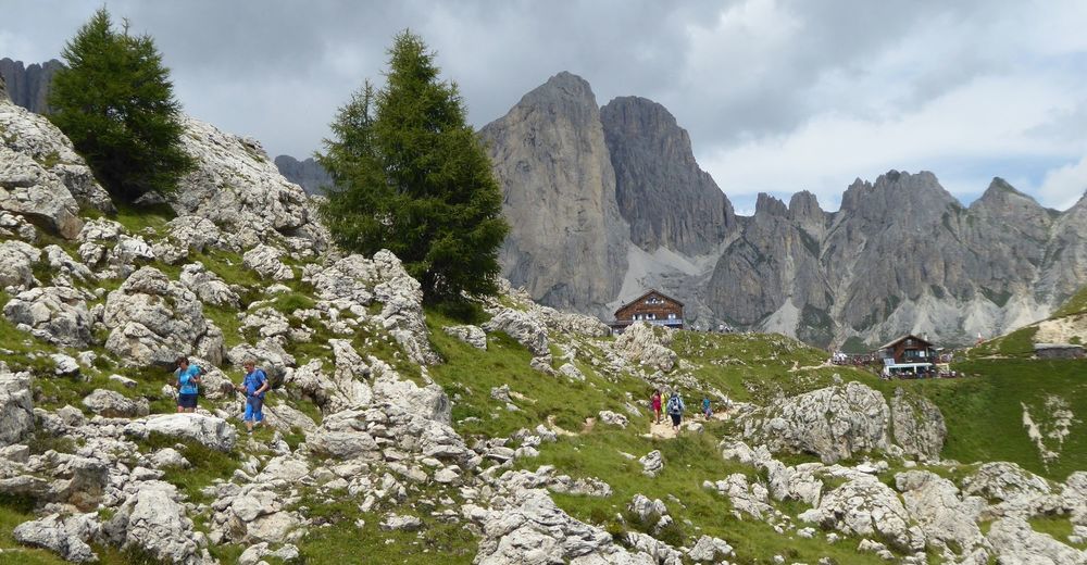
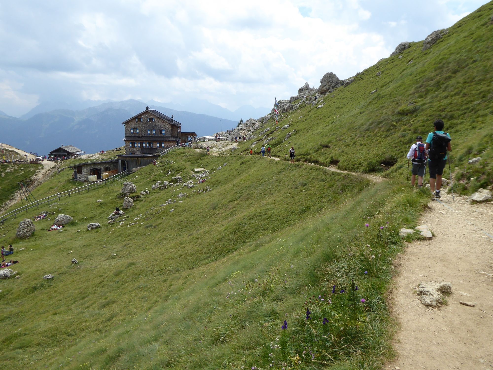
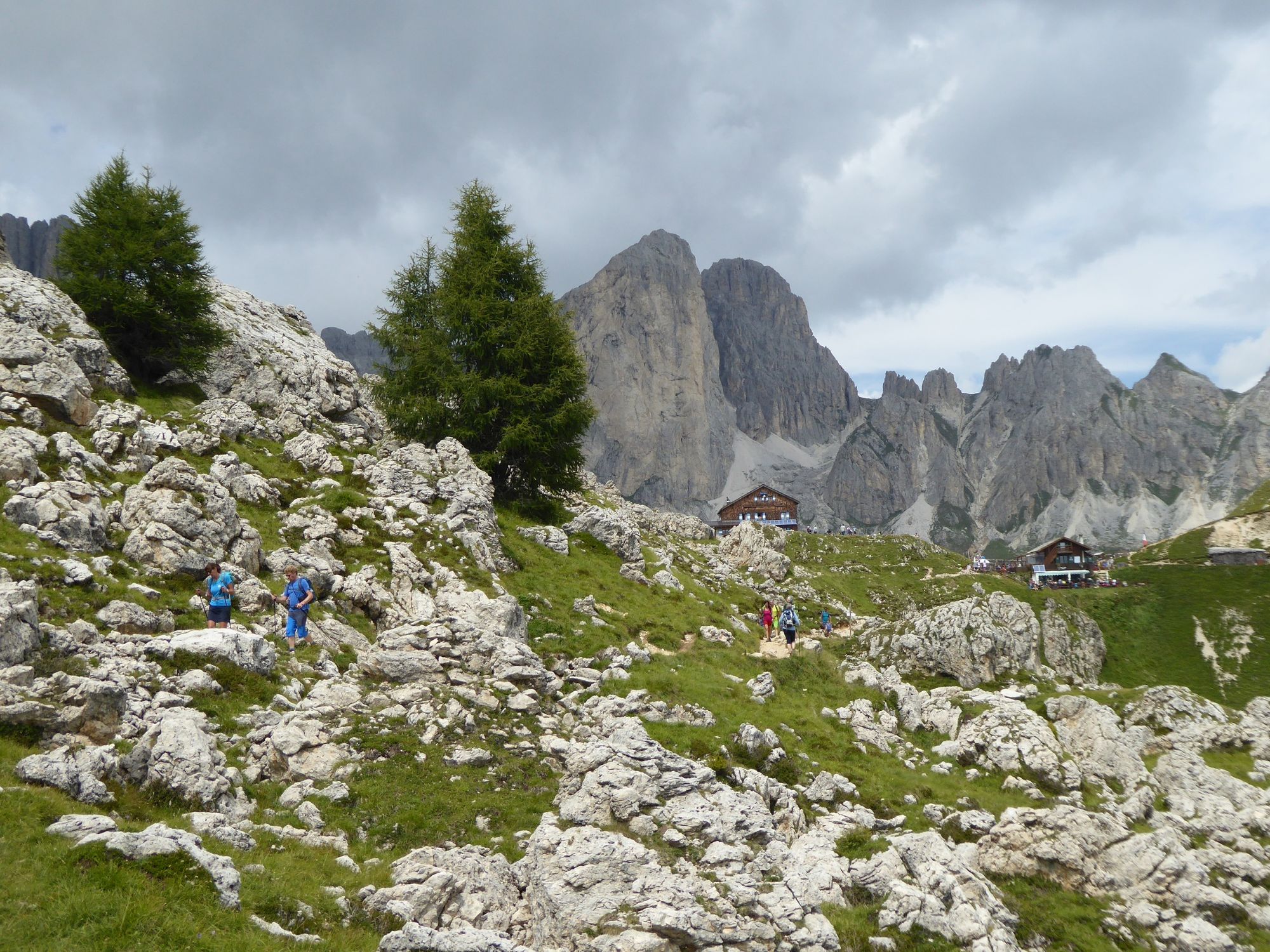
The varied panorama for all the route. The "high" path from Vaél to Ciampedié in a wild landscape. With a little fortune some wild animals appear.
- Greutăţi
-
mediu
- Evaluare
-
- Ruta
-
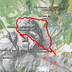
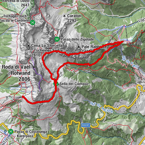
Paolina HütteBaita Marino Pederiva1,9 kmRotwandhütte2,0 kmPasso Del Soffion (2.358 m)4,9 kmRifugio Negritella (1.986 m)6,7 kmRotwandhütte10,2 kmBaita Marino Pederiva10,3 kmPaolina Hütte12,2 kmPaolina (2.125 m)12,2 km
- Cel mai bun sezon
-
ianfebmaraprmaiiuniulaugsepoctnovdec
- Cel mai înalt punct
- 2.330 m
- Profil de elevație
-
 © outdooractive.com

-

-
AutorTurul High route Fassa - Vaél - Ciampedié este utilizat de outdooractive.com furnizat.
GPS Downloads


Informaţii generale
Oprire pentru băuturi răcoritoare
Promițător