© APT - San Martino di Castrozza, Passo Rolle, Primiero e Vanoi - ApT San Martino

© APT - San Martino di Castrozza, Passo Rolle, Primiero e Vanoi - ApT San Martino

© APT - San Martino di Castrozza, Passo Rolle, Primiero e Vanoi - ApT San Martino

© APT - San Martino di Castrozza, Passo Rolle, Primiero e Vanoi - ApT San Martino

© APT - San Martino di Castrozza, Passo Rolle, Primiero e Vanoi - ApT San Martino

© APT - San Martino di Castrozza, Passo Rolle, Primiero e Vanoi - ApT San Martino

© APT - San Martino di Castrozza, Passo Rolle, Primiero e Vanoi - ApT San Martino

© APT - San Martino di Castrozza, Passo Rolle, Primiero e Vanoi - ApT San Martino

© APT - San Martino di Castrozza, Passo Rolle, Primiero e Vanoi - ApT San Martino

© APT - San Martino di Castrozza, Passo Rolle, Primiero e Vanoi - ApT San Martino
Informaţii pentru tur
12,82km
1.123
- 2.147m
1.329hm
826hm
06:43h


- Scurtă descriere
-
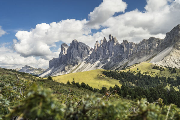
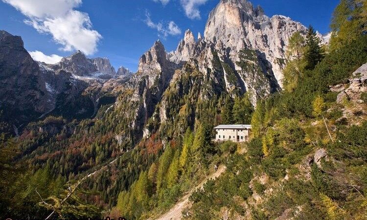
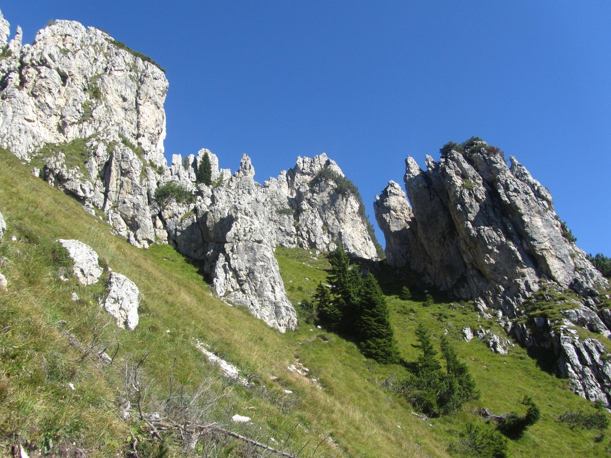
Two mountain ranges, two regions, two parks: different environments for structure and nature, both World Heritage Sites, united by the continuous line of the Alta Via n. 2
- Greutăţi
-
greu
- Evaluare
-
- Ruta
-
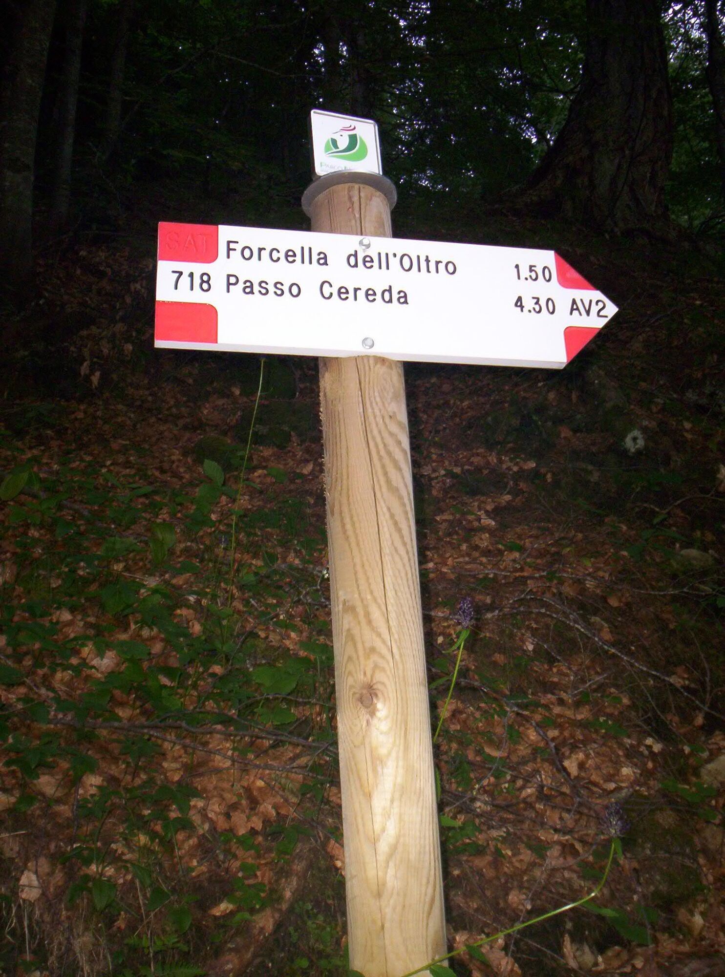
Sagron (1.061 m)Matiuz1,0 kmCappella di Sant'Antonio4,1 kmPasso Cereda4,2 kmCanali Hutte12,8 km
- Cel mai înalt punct
- 2.147 m
- Destinație
-
Rifugio Treviso
- Profil de elevație
-
 © outdooractive.com


-

-
AutorTurul Park2Trek Dolomites - 4th stage este utilizat de outdooractive.com furnizat.
GPS Downloads


Mai multe tururi în regiuni
-
Belluno-Dolomiti
1079
-
Conca Agordina
307
-
Gosaldo
101