
- Scurtă descriere
-
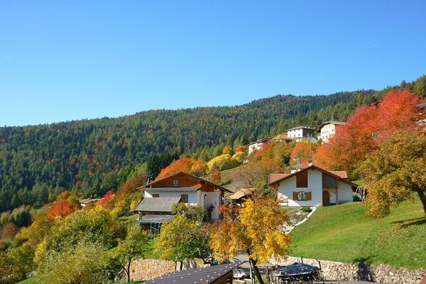
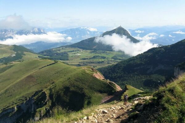
A walk of great naturalistic, historical, and archeological interest. The route leads from a landscape of ancient volcanic rock (i.e. the porphyry of the Mancabrot ridge) to terrain made up of relatively young rock of marine origin on Monte Corona. Archeological finds attest to early Bronze Age settlements, and from the presence of copper, lead and silver ore, it can be assumed that minerals were mined in the area in very ancient times.
- Greutăţi
-
uşor
- Evaluare
-
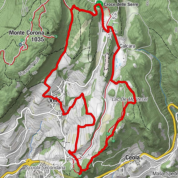
- Ruta
-
Ceola0,6 kmFior Di Bosco2,8 kmMasen (790 m)3,1 kmVille5,9 kmValternigo di Giovo8,0 kmChiesa di San Romedio8,1 km
- Cel mai bun sezon
-
ianfebmaraprmaiiuniulaugsepoctnovdec
- Cel mai înalt punct
- 892 m
- Destinație
-
Valternigo
- Profil de elevație
-
 © outdooractive.com
- Autor
-
Turul Along Mancabrot Ridge to Lake Montesel este utilizat de outdooractive.com furnizat.
GPS Downloads


Informaţii generale
Cultural/Istoric
Sfat din interior
Flora
Fauna
Promițător
Mai multe tururi în regiuni